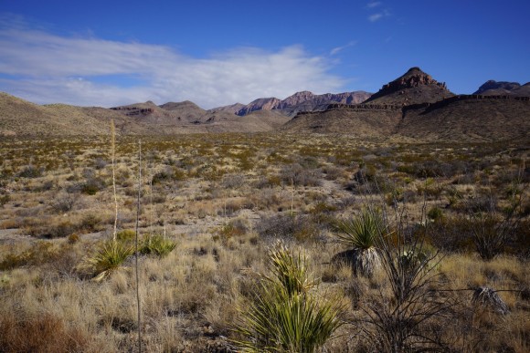
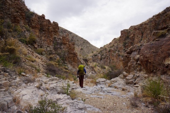
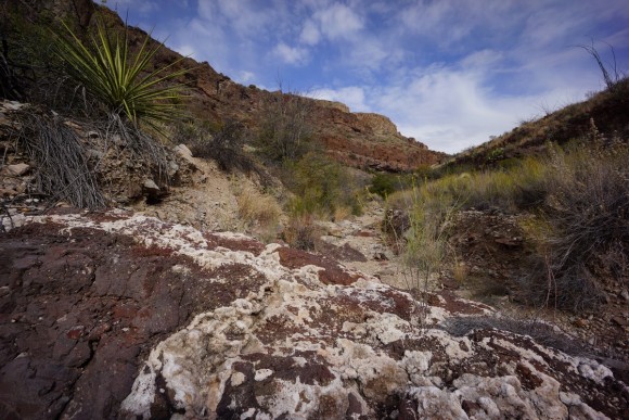
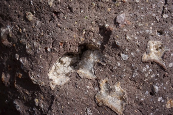
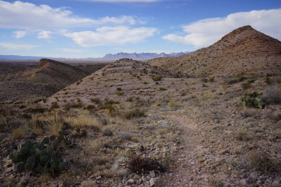
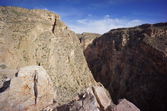
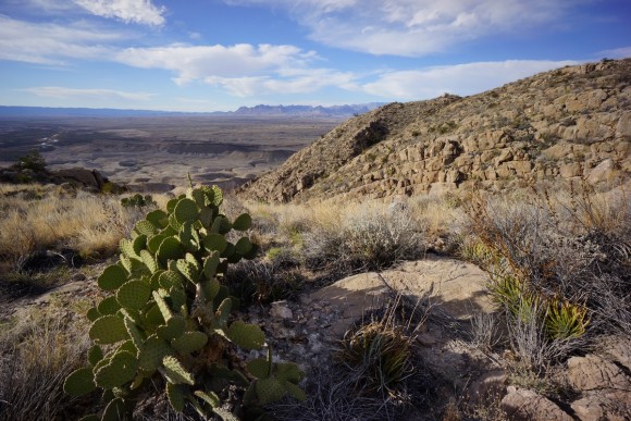
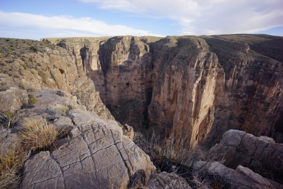
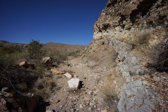
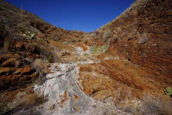
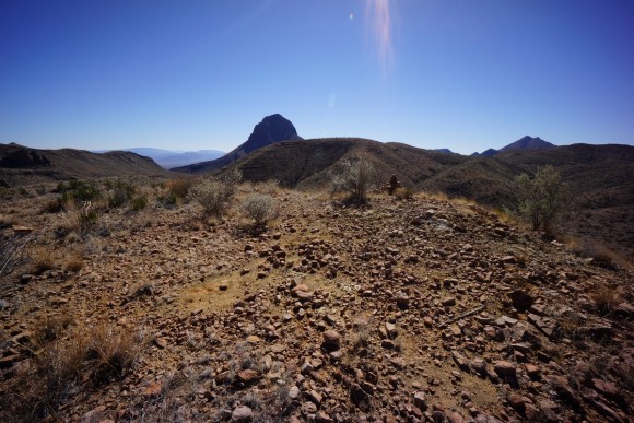
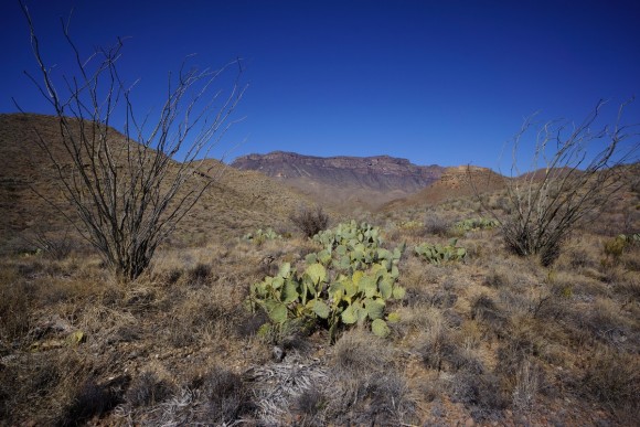
Cuba to Ghost Ranch – CDT Thru Hike 2018
Continental Divide Trail – Cuba to Ghost Ranch Hike Overview
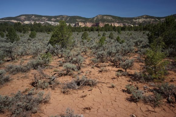
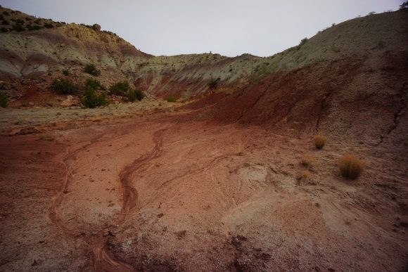
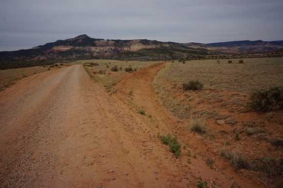
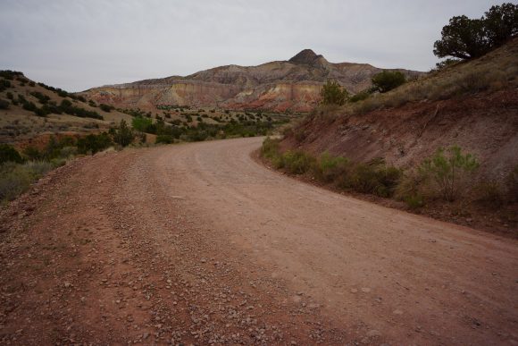
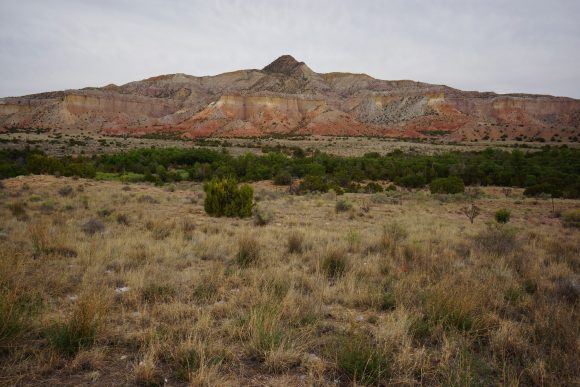
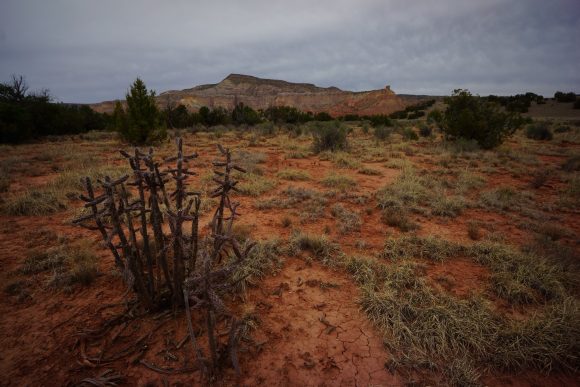
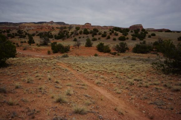
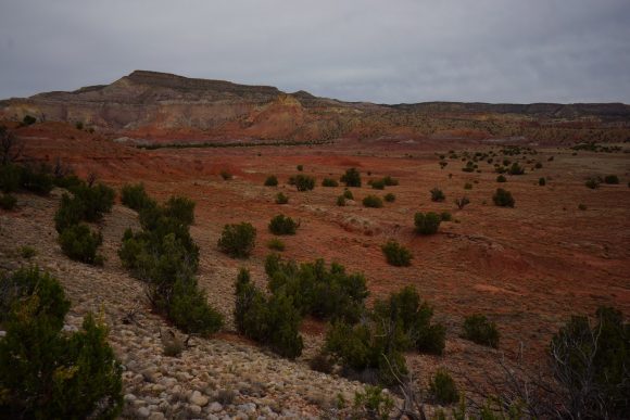
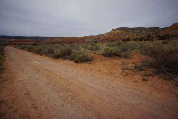
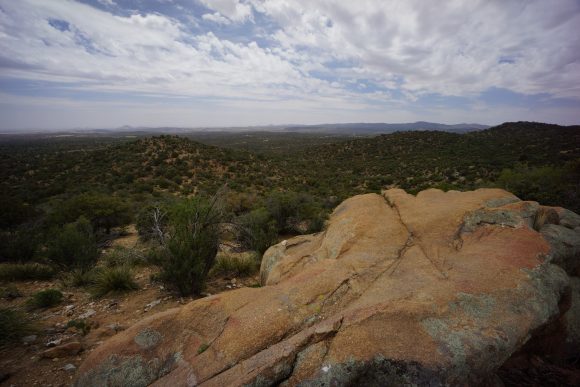
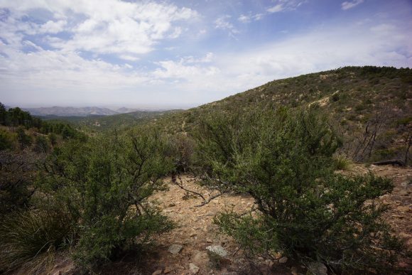
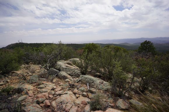
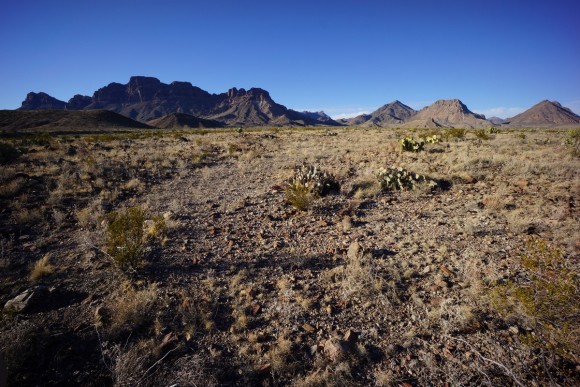
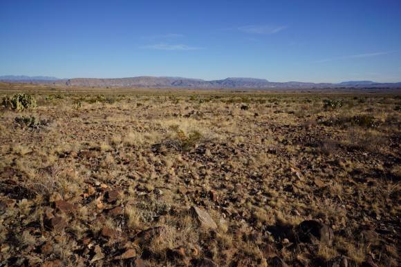
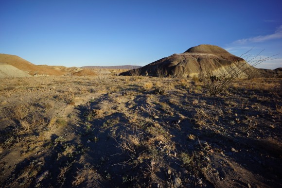
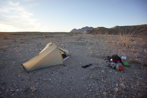
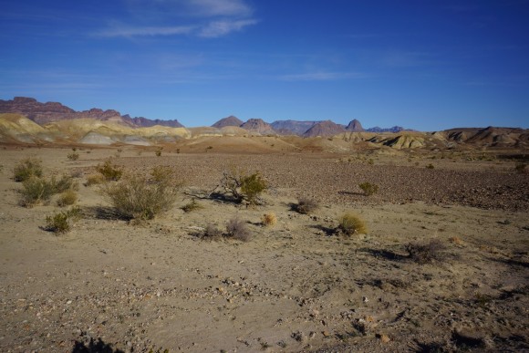
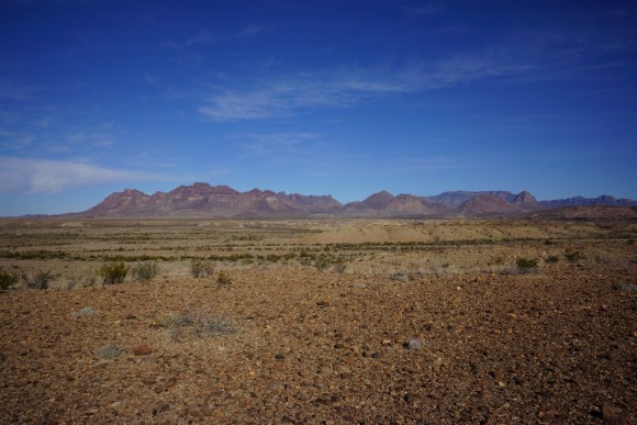
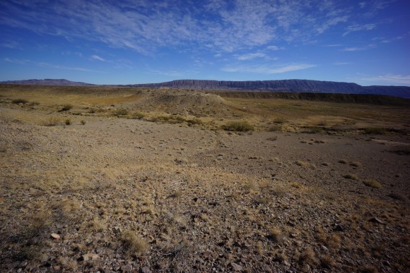
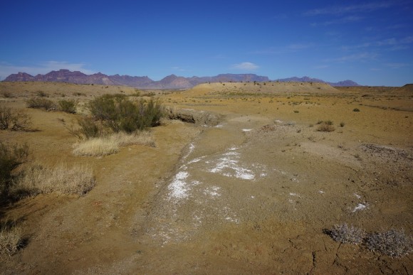
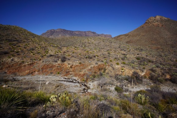
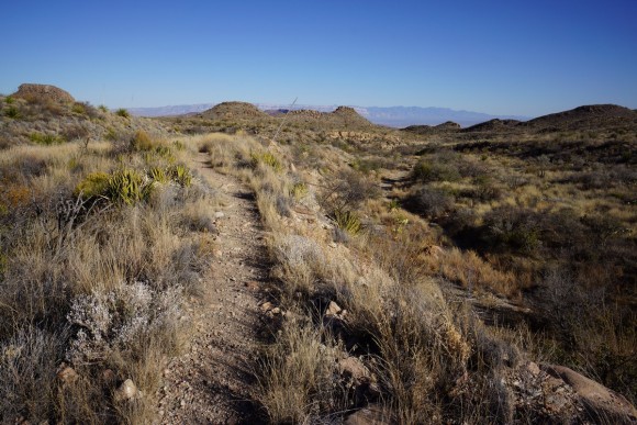
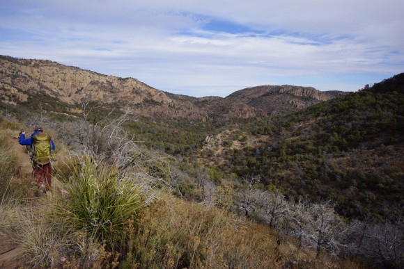
After leaving Cuba, the trail heads up a dirt road into the San Pedro Parks Wilderness. This is the first time you really feel like you’re getting close to Colorado, with alpine meadows and “parks”. However, it’s short lived. Before long it’s back down into the desert again. Here, the trail crosses the Rio Chama and approaches Ghost Ranch. Most CDT hikers take the Ghost Ranch alternate route, but you can skip it by staying high on a mesa above this area. Ghost Ranch offers some beautiful scenery and is a great way to end your desert experience in New Mexico.
Thursday May 24th – CDT Day 34
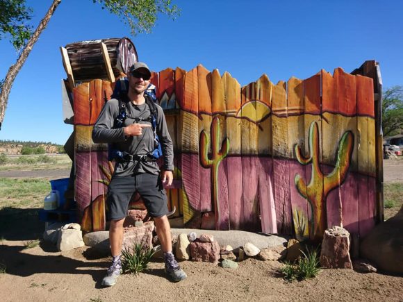
Packed up and ready to hit the trail. Rebels roost has a scale on the front porch for weighing backpacks, and mine weighed in at 22lbs without food and water. 38lbs with food and 3L of water.
I stopped at Priscillianos again for breakfast. I was stuffed, and ready for the big climb up to San Pedro Parks. Started hiking around 9:30am.
The first few miles are along Los Pinos Rd. After passing all the homes, the pavement ends and becomes a dirt road. Steady climb all morning to the Los Pinos trailhead.
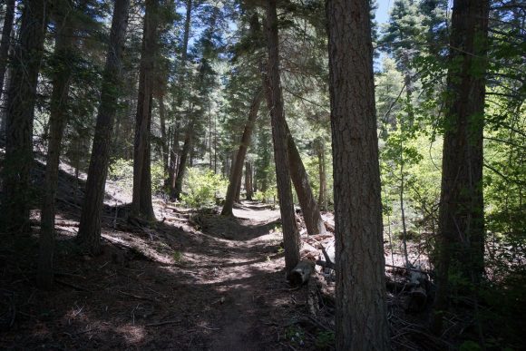
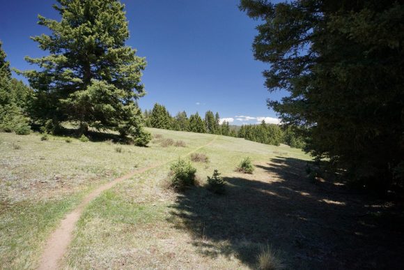
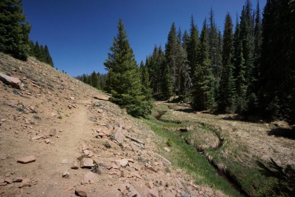
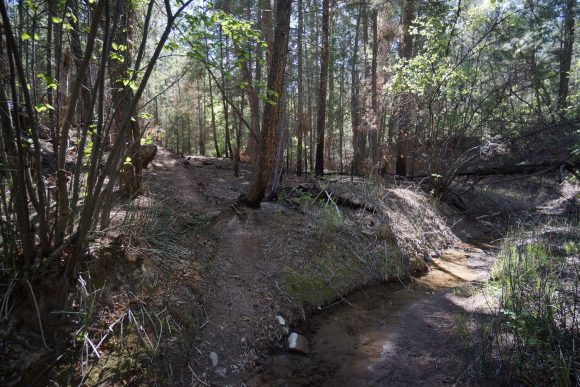
The landscape was a lot greener here than anywhere else in New Mexico so far. The was actual soil, not sand, providing a more “Colorado look” to it. Pine tree forests, a small creek and green grass. A pleasant change!
The trail climbs 2000ft in 3 miles. Not super steep, and the hike up wasn’t as bad as I anticipated.
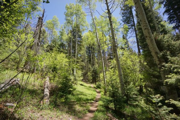
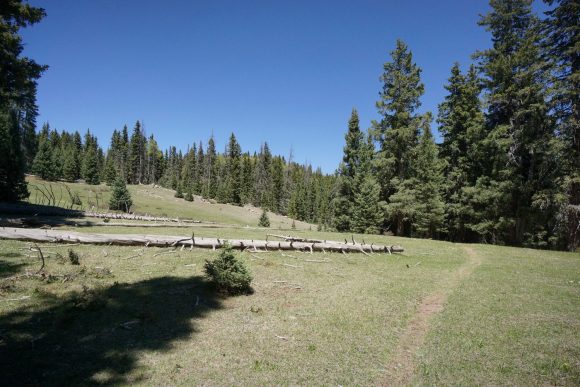
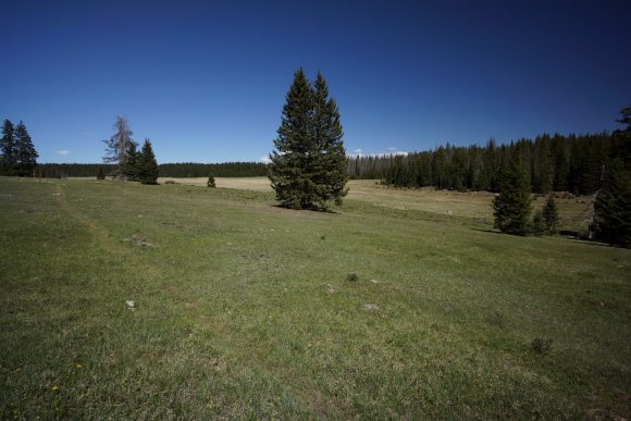
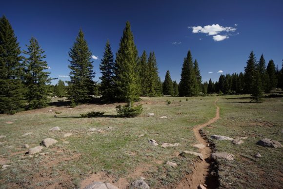
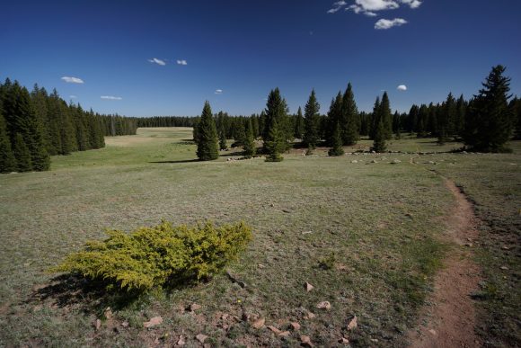
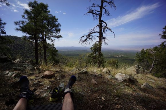
After the big climb for the day, the landscape turns into rolling hills, open grassy meadows and pine forests. These are the San Pedro “parks”. Nice hiking through here. I saw my first patches of snow on the CDT here, albeit very small.
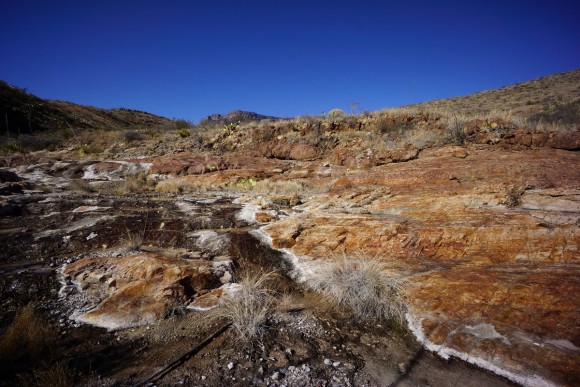
I noticed a lot of interesting rocks in this area. Not sure what they are, but some red, yellow /orange and amber colored stones that I haven’t seen before. Snagged a couple to take with.
The San Pedro peaks were marked on my map at 10, 600ft which is the high point of this wilderness area. Unfortunately, there wasn’t a big view from the “summit”, just a little higher than the surrounding meadows and trees.
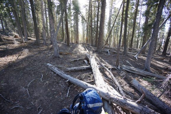
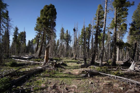
North of the high point, the trail is riddled with downed trees. Still, I made good time through here.
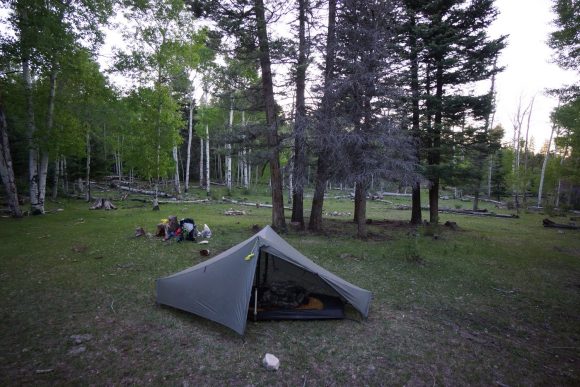
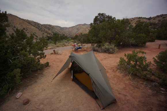
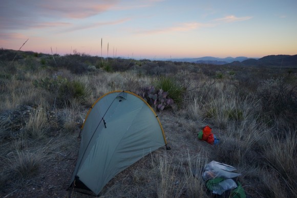
I found camp along the trail in a small meadow. It was around 7:30 now, pretty early to be camping for me, lately. While settling up my tent, about 5 elk came crashing through the forest and through the edge of the field. Shortly after, a hiker named Charlie passed through, trying to get in a few more miles tonight.
Back to the desert later tomorrow. Once last stretch of desert to ghost ranch, then it’s mountains for a while.
Miles – 23
Total Miles – 612.6
Rain – no
Sleep – Backcountry, tent
Animals – elk
Friday May 25th – CDT Day 35
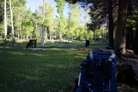
Heard some elk (assuming) again walking around near the edge of the meadow in the middle of the night. Around 6:30am, a couple of cows wandered into the meadow, and began to graze about 30ft from my tent.
Not long after leaving camp, I had to crap. Normally I wouldn’t write about this, but this is funny. I couldn’t find soft ground to dig a hole, then noticed a soft patch of dirt around an old tree stump. A ton of Ants started stirring as I dug my hole, apparently tight into the middle of an ant hill. Well, I gotta go now so, here’s a gift for the queen! Haha.
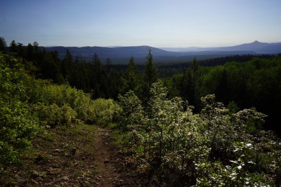
The trail continues downhill for a while. Occasional breaks in the trees provide decent views. I saw a couple of deer in the woods, first deer in quite a while.
I stopped at a small stream to filter water. Backflushed my water filter for only the second time since I started the CDT, and wow, what a difference. Filtering speed increased massively.
The next section of trail was an easy walk through some open pine forests. Not much to see really. I did spot another couple of deer as the landscape began to transition back to desert rather than the high alpine forests of the day prior.
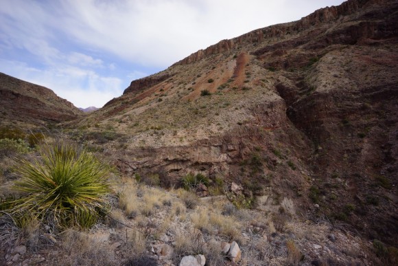
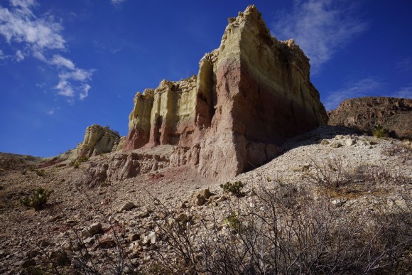
After crossing hwy 96, views of mesa Alta were quick to impress. The steep rock faces were an array of colors unlike anything I’d seen on trail yet.
It was about a 1000ft climb up the top of the mesa. I knocked out a good portion of it before stopping for first lunch. Two guys passed going southbound, hiking a section of the CDT from hope wells to Cuba. I got to thinking, other than the Gila, I don’t think I’ve seen any other hikers yet who weren’t thru hiking the CDT or a section of it.
After lunch, I resumed my l climb. It was much harder after the break and really dragged on. In all fairness, it was much steeper here and it was getting really hot. Still, I was disappointed in my slow pace.
Once on top of the mesa, I hiked over to Fuentes spring. Good water here conning from a pipe feeding a trough. Then, it was another steep climb over a ridge.
Now it’s mostly downhill for the rest of the day. The trail dumps into a dirt road which I followed for a while. Then a trail splits of the road and heads downhill again, through the Rio Chama wilderness.
Lots of switchbacks heading down into canada gurule. Apparently canada means canyon in Spanish. It has that squiggly line over the n which I don’t know how to type, never had to haha. Once I reached the creek, I stopped for second lunch.
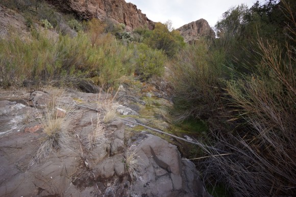
Awesome hike through canada gurule. Small stream, but very lush and scenic little canyon. Lots of great camping along the stream, but like always, I’m not ready to camp when I find a good campsite.
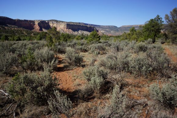
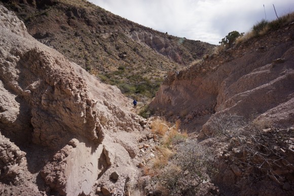
When the canyon opens up, there’s incredible views of colorful cliffs everywhere in the distance. I can tell this is going to be a special place. Just a few more miles to the Rio Chama.
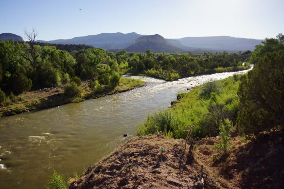
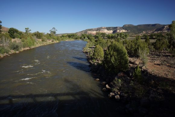
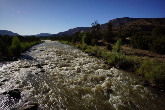
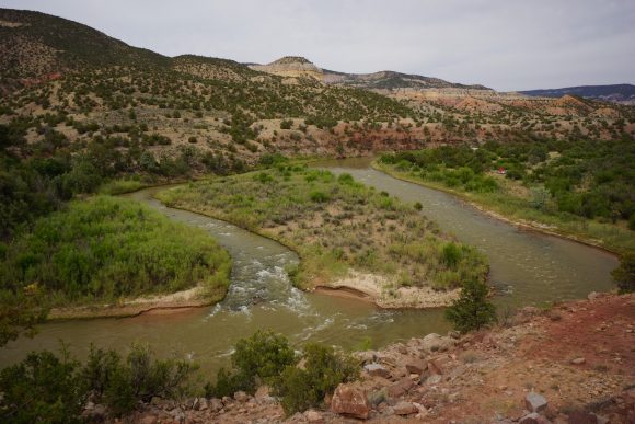
Once at the bridge over the Rio Chama, I was immediately grateful for it. This was a serious river, not something a sane person would get in and Ford. First such river along the CDT.
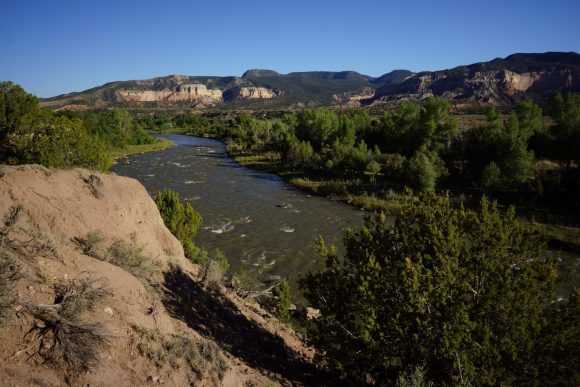
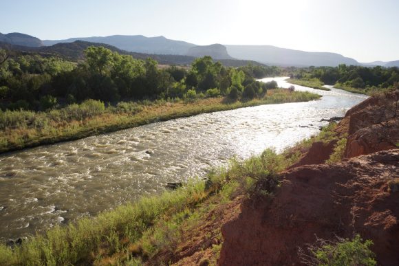
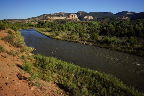
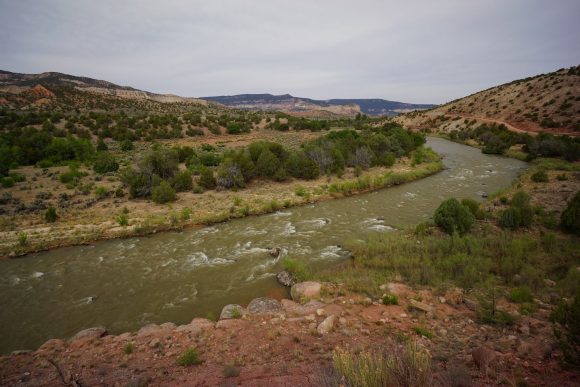
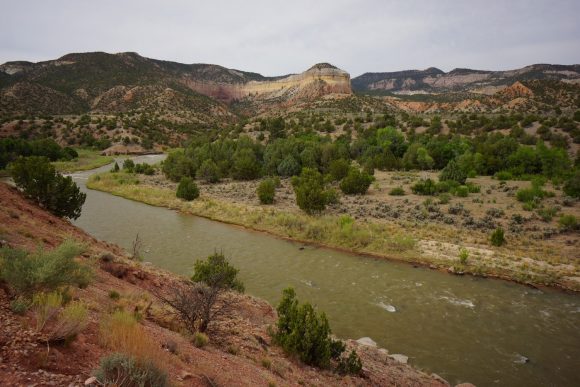
Now it’s a road walk to ghost ranch. However it’s a very scenic road walk along the Rio chama, and it’s beautiful. The setting sun illuminated the river valley with a magical feel. I was not expecting this area to be as impressive at it was!
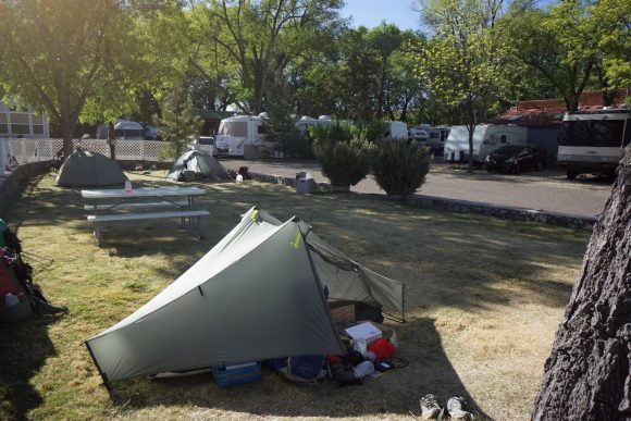
I turned the corner on the road and came across Sally and Linda at the entrance to a camping area. This was a drive in camping area, but not a designated pay campground. They asked if I was hiking the CDT, and when I said yes they offered to let me camp with them for the night. Sounds good, I’m tired!
I set up my tent among about 12 others in the area and joined their large group (20+). They were very welcoming and generous, offering water, beer and food. I happily accepted a couple of gourmet burgers, stuffed with green Chile. Yum!
Sally gave me a root that keeps snakes away, I forget the name. I couldn’t help but laugh when she said it also attracts bears!
No campfire due to the stage II fire restrictions, but a good night nonetheless. They had been camping here for many years, and will be rafting down to river tomorrow.
Miles – 25.6
Total Miles – 638.2
Rain – no
Sleep – Backcountry, tent
Animals – deer
Saturday May 26th – CDT Day 36
Knowing today was a short day, I didn’t rush in the morning. I seldom do. Never was a morning person, probably never will be. It was overcast, and would be all day long.
Nobody I recognized from the night before was up and about in camp, so I left without saying goodbye. Later while road walking, Sally and Linda drove by and I could thank them again for the hospitality.
The road walk along the Rio Chama was very scenic. Sucks it was a road though, with lots of memorial day weekend traffic.
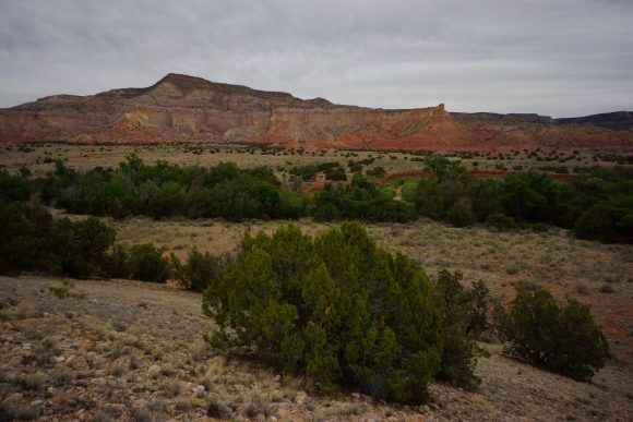
After a few miles, the road veers away from the river, but still excellent scenery. I found several interesting stones along the way. My rock collection is growing! I’m a dork, I know. Gotta do something while staring at the ground all day.
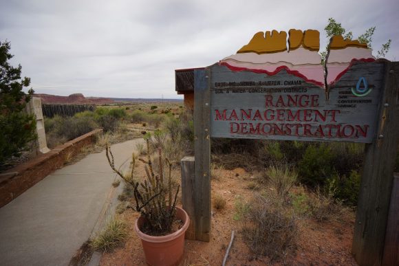
I missed a turn and had a slightly longer road walk along hwy 84, a fairly busy paved highway. No biggie. I then came across the turn for ghost ranch, which goes through an abandoned building on the guthook app. Something like a conservation center and nature walk. Hmm, abandoned building, just like back home in Detroit. I think I’ll take lunch here. Also, had 4G LTE.
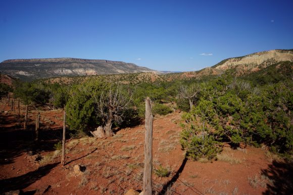
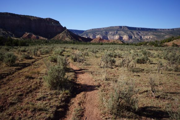
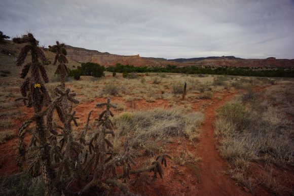
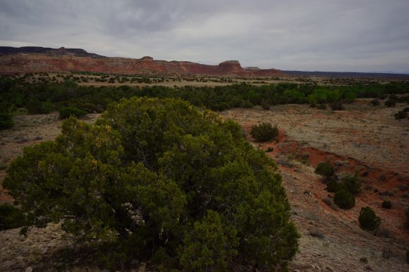
After leaving conservation center thing, it’s a crawl under a barbed wire fence then following a footpath into the desert. The steep and colorful mesas provide a stunning backdrop. Later this footpath merges with the actual CDT alternate that apparently was just a couple hundred feet beyond the abandoned building. Ah well, cool lunch spot anyways.
The trail is kinda hard to follow through this section. I ended up just hiking cross country here for a while. I could see a bunch of buildings of in the distance so I just headed that way. Eventually the network of dirt roads led to the ghost ranch welcome center. Out on front on the porch was about 8 other hikers I recognized and a few more I didn’t.
I paid for a tent site, and tickets dinner & breakfast. Then I grabbed an ice cream cookie and a powerade from the snack shop, and returned to tung porch. Many of the hikers started clearing out. A haze could be seen building in the distance. I could later smell it, the distinct smell of forest fire smoke.
I set up my tent, showered and did half my laundry. Should have just done it all then but was rushing to get to dinner. It’s cafeteria style, and I heard they ran out of food last night!
As it turns out, the dining hall was dead this evening. I believe there was a wedding last night. I ate with a couple hikers outside. Very peaceful here.
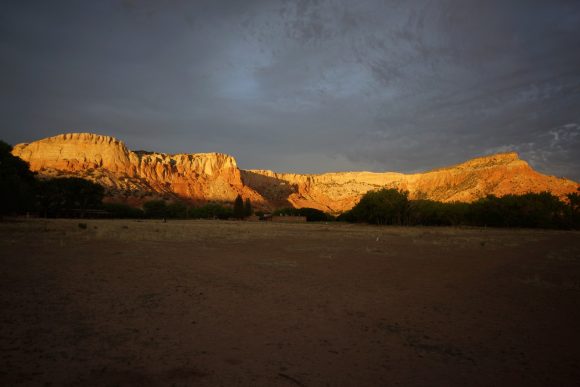
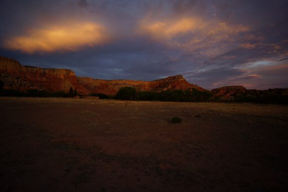
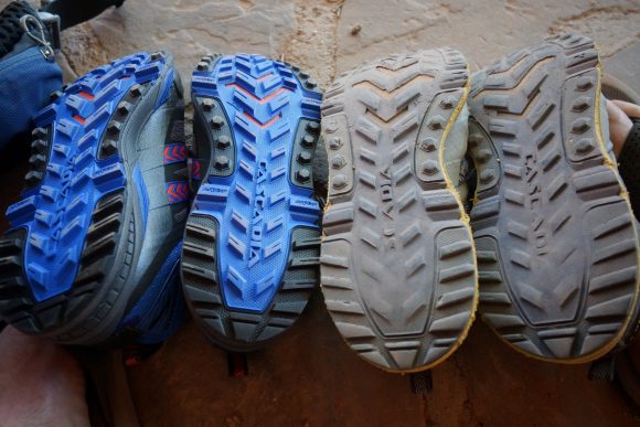
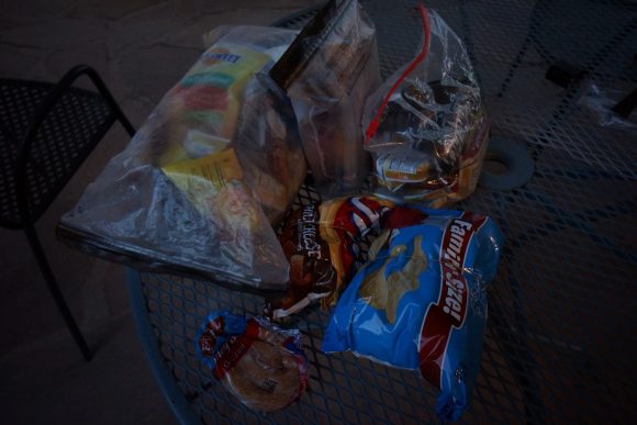
I picked up my resupply box from the welcome center after dinner. Alright, new shoes! And of course, a bunch of food. I spent the rest of the evening on the porch of the welcome center, charging batteries, packaging my food, etc. The forest fire smoke from earlier had passed. The way the sunset illuminates the mesa behind the welcome center is just amazing.
After finishing my laundry, I headed to my tent. It was dark but wasn’t quiet hours yet, and some guy in a nearby campsite was taking advantage by beating a drum. Very amaturely I might add, and luckily he wasn’t at it too long.
Miles – 12.2
Total Miles – 650.4
Rain – no
Sleep – Frontcountry , tent
Animals – none
Lordsburg to Silver City – CDT Thru Hike 2018
Continental Divide Trail – Lordsburg to Silver City Hike Overview
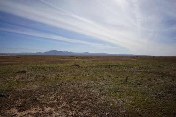
The first part of this section, out of Lordsburg, was flat and hot. But, This is a good section because the landscape transitions from desert to rolling hills and lots of trees. It’s hard not to like that after 100+ miles of desert.
Thursday April 26th – CDT Day 6
I got a bit later start today, leaving the Econo Lodge around 8:15am. It seems like most of the hikers at the Econo Lodge who got in from crazy cook yesterday as I did where going to take a zero day. I considered the same, but really wanted to push to make it to Silver City for the Trail Days festival this weekend.
It was about an hours walk to get our of town and back on to the actual trail. I walked passed a really old man working outside on his yard blasting some metal music. He waved, I waved back. Then I proceeded to play the air guitar in approval of his choice of music, to which he pumped his fist in the air. “You good? Need any water?” he asked. “I’m all topped off, thanks for asking. Rock on man!” I replied. This made me smile.
After turning off on to highway 90, the trail splits off from the road and into some ranch land. It’s super easy to miss though, only marked by 2 blue poles along the fence line. On the other side, no trail or markers can be seen. Makes you really wonder if you’re in the right place or trespassing.
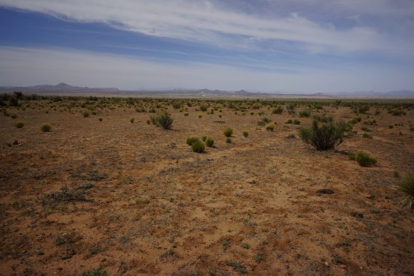
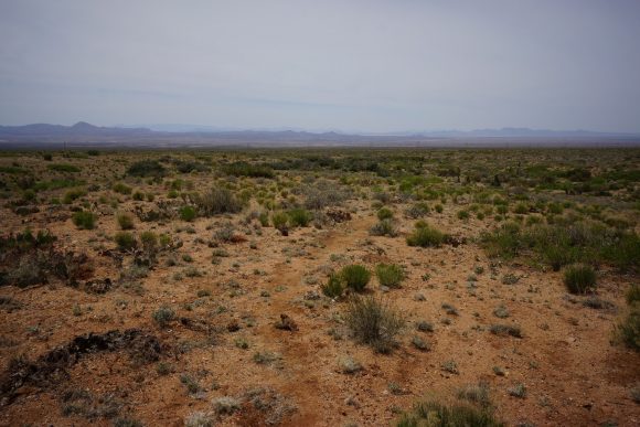
This next section is flat, wide open and not the most interesting. It’s going to be over 12 miles with little or no shade. Easy walking, but another hot day. Real feel in the low 90s. I saw a couple of jackrabbits and a horned lizard, that’s about it.
After walking about 3 hours non-stop from Lordsburg I came across my first shade, a small tree in a wash. I stopped here for lunch. Man is it hard to get up and get back into that heat afterwards!
Before stopping I had only seen maybe 3 CDT markers, but they were more frequent now. I walked about another hour and a half before entering some new Ranch land that was at the base of some Hills in a canyon. Engineer Canyon I believe. It was nice to get out of the open desert.
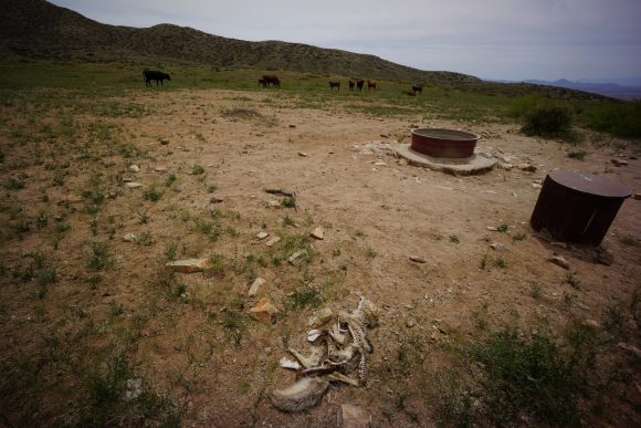
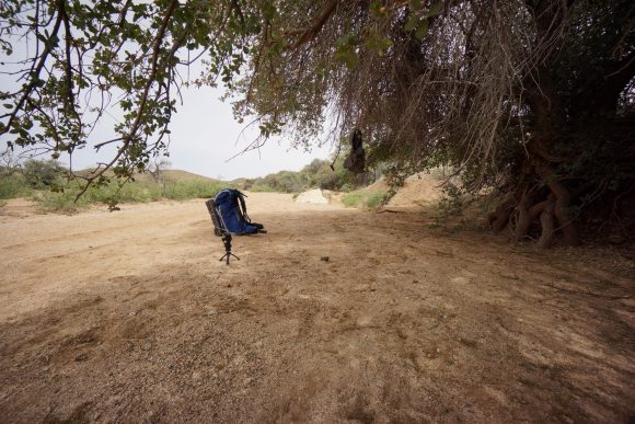
Working my way up the canyon, I came across the couple of dry water tanks, some cows and a dead coyote. As a followed the wash through the canyon, I came across it really nice shade tree that I couldn’t pass up. It was 2pm now and I had covered around 15 miles, so it was time to get out of the heat for a little bit.
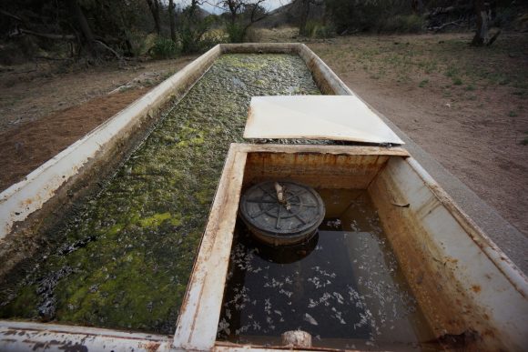
Not far up the trail I encountered a full trough of water. It was green but would have been decent water to filter. Going by the water report, I opted to hike to the co-op windmill at Mile 102.
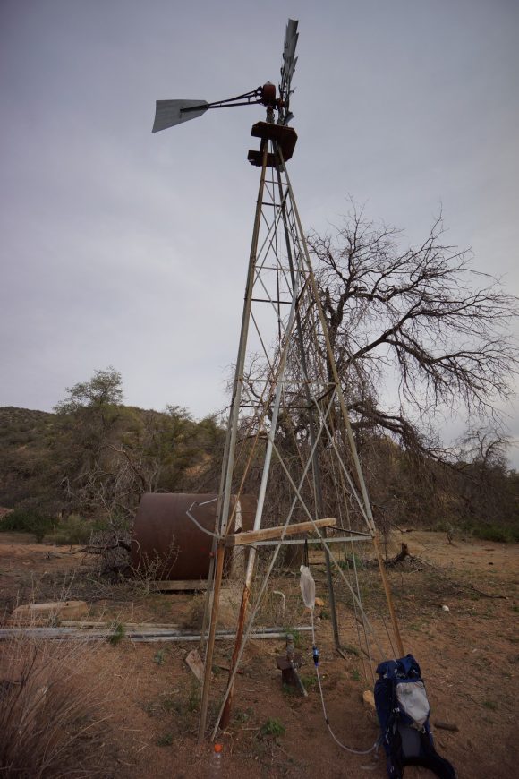
By the time I reached the co-op windmill, I was pretty dehydrated. I thought I had drink almost 4 liters, but upon inspecting my water bladder I had probably drank closer to 2.5 today. I was not very hydrated when setting out this morning to begin with. Yeah, not smart… 20 miles hiked in low 90° Temps through the desert. There was a spigot under the windmill, first thing I did was fill a liter and poured it over my head and upper body. I quickly filtered another liter to drink, which almost brought tears to my eyes. It’s been quite a while since I was in such desperate need of water and the feeling is tough to describe if you’ve never been there.
I proceeded to fill my 4L platypus dirty water bag, but I only got another 2L before the spigot went dry. Really now? There was a cow trough that looked had nasty green algae water. Initially I thought it was a no go, but there was a lid covering one corner of the trough. Underneath was much cleaner water, despite tons of bug debris… It looks like a bunch of wings. After swishing these aside, I was able to scoop fairly clean looking water which I then dumped into my platypus bag to use with my gravity system. Boom, good water! I ate dinner here, drank 2.5L and filtered 5L to carry. Tomorrow will be dry too.
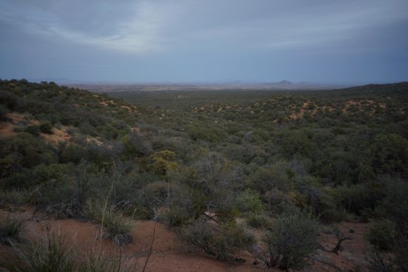
I hit the trail again around 7pm. I wanted to knock out a few more miles before dark, as well as not wanting to sleep next to the windmill with all the cows. The trail climbs uphill from here. Once at the top, there was an expansive view of more wilderness. The trail follows the top of a Ridgeline for a while before dipping down into a new environment. Easily the best views yet. This energized me as I hiked on another 45 minutes. I found a place to camp about 20 minutes before sunset. I never saw that person after leaving the paved highway in Lordsburg. What a day!
Miles – 21.66
Total Miles – 113.3
Rain – no
Sleep – Backcountry tent
Animals – rabbits, horned lizard
Friday April 27th – CDT Day 7
Quiet night, but slept poorly. Cooler and cloudy this morning.
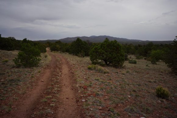
Todays walk started off easy. Forested hillsides with little Elevation change. Lots of places to camp just off trail on soft sand.
After an hours hike I reached hwy 90. I had a few bars of cell signal but no data. I called my dad to hash out the logistics for my resupply box in Pie Town before moving on.
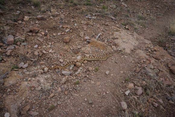
The next section was enjoyable… New terrain, nice views and easy. So easy that I wasn’t paying attention to my footing and almost stepped on a snake. It looked poisonous at first but upon closer inspection, it lacked the diamond head and rattle. Gopher snake. Still, don’t want to step on it and get bit.
I liked the views over the next couple hours. Rolling hills, trees and occasional grassland. Not stunning but a really nice walk in a unique looking environment.
I came across a cooler full of pop and beer for CDT hikers near the jacks peak /burro peak trailhead. Yay! I helped myself to a pop and moved on.
Now the trail begins to climb. A lot. And climbs some more. Now there are pine trees, first I’ve seen on the CDT.
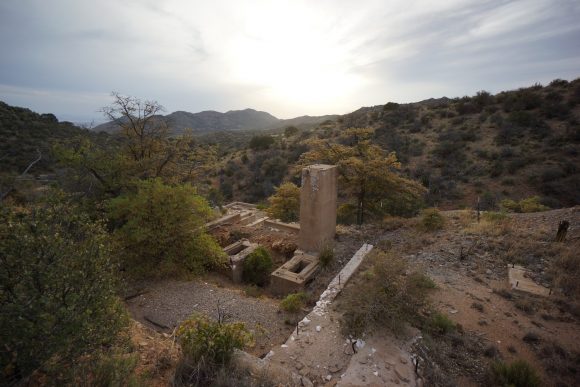
Soon enough I was near the top of Jack’s peak. There’s some campsites up here and foundations of old buildings. At the summit is several cell towers. Apparently none for AT&T though, as I had no data.
Next the trail dips briefly before heading back up to burro peak. Not a great summit view with the vegetation, but still a decent. It’s just over 8000ft, the highest yet on the CDT.
Really nice walk through pine forest coming down from burro. I stopped for a break at the first nice view, and man was it a good one. And wouldn’t you know it, I had cell service and LTE now! Perfect.
After my break, I had a decision to make. Take the cut off trail through deadmans canyon or head towards Burro Mountain Homestead. I need water, and mud spring is near the junction of the two trails, so that’s where I headed.
I spent about Half hour looking for mud spring before realizing it’s along the trail and not down the mountain off trail like my GPS coordinates indicated. The spring looked like a campground fire ring filled with water. You’d want to filter this, but I opted to wait… Thinking I’ll stay the night at the homestead. Just yesterday, Wayne at the burro mountain homestead posted on the CDT Facebook page that a certain area is open to CDT hikers for free tent camping, along with water and free shower. Can’t beat that!
I passed a hiker named cracker on the way. He gave me his map of the homestead and told me the office is closed. It’s basically an rv park /campground /trailer park, but had pretty good amenities. I set up my tent in the “orchard” along orchard drive. The shower felt amazing after such a long day!
Miles – 25.4
Total Miles – 138.7
Rain – no
Sleep – rv Park /campground in tent
Animals – rabbits, deer, gopher snake
Saturday April 28th – CDT Day 8
I was pretty sore this morning and got a bit slower start. I can’t wait to swap my foam sleeping pad for the inflatable, just as soon as the threat of thorny plants and cacti subsidies. Then I’ll sleep better.
My walk this morning was boring and uneventful along Tyrone Rd. The plan is to get to Silver City as early as possible, so I’ll hike to hwy 90 and attempt to hitch into town.
When I reached 90, I started walking north as I put my thumb out. Several cars passed before a pick up stopped. The woman had a CDT hat on, and was headed to Silver City for Trail Days herself. She dropped me off at the silver city rv park, where I planned to stay. I got out of the truck and she drove away before I could grab my pack from the bed of the truck, so I chased after her. Luckily she stopped!
Checked in at the Rv park, showered and picked up my first bounce box. A bounce box is a package filled with things that I send myself every other town or so as I progress up the trail. I have extra batteries, first aid supplies, vitamins, ziplock bags for food, etc in the box. Most importantly, I have the 2 in 1 laptop/tablet I am using right now to update this blog as well as a hard drive to dump my photos and GoPro video to and interact with my GPS unit. I mailed the box direct to the RV park, but will have to wait until Monday morning to ship it to the next destination, the town of Grants… about 300 miles up trail.
Next I headed out for food. I went to a place called Fry House for chicken wings. Been craving them for several days now. Behind the bar, a cooler full of Four Loko caught my eye. I thought they outlawed it, hadn’t seen it in a few years. I asked the bartender if it’s a popular drink around here. Apparently, they are used to make a drink called a Mexican Trashcan where you pour shots of liquor into the Four Loko. Those days are gone for me, I’ll pass!
Then I headed up to western New Mexico university for the trail days festival. I wandered around campus for a while until I found a bunch of booths set up on an athletic field. Yay, freebies! I got half way through the booths before they started to pack up for the day.
Back at the RV park, hikers were gathered around drinking beer and swapping stories. Most of us headed back up to the university for the trail days keynote speaker event at 7pm. Cam “Swami” has hiked over 60,000 miles in 56 counties, and is known for his “12 long walks” in a year and a half. He hiked over 10,000 miles in one calendar year.. what a beast!
Miles – 8.2
Total Miles – 146.9
Rain – no
Sleep – rv Park /campground in tent
Animals – deer
Sunday April 29th – CDT Day 9 (Zero Day)
Today was my first “zero” day, which means zero miles hiked. And it felt great! No alarm to wake up to, just a full day of rest. Most other hikers I started with on April 21st took a zero day in Lordsburg, but I pushed to make it to Silver City for trail days.
It was a nice leisurely morning bullshitting with the remaining CDT hikers before they took off. It really emptied out by noon. I used the hard drive in my bounce box to dump my pictures and video and spent much of the afternoon on my laptop updating this blog. The mini usb cable I brought to connect my GPS to my laptop wouldn’t allow the computer to see the GPS. Could be a charging only cable, no data transfer. I walked to a few stores before realizing nobody carries these in stock anywhere. I called my dad and had him throw in a known working cable into my next resupply box.
Later in the afternoon, the RV park’s camp host Kat offered to take a few of us hikers up to Walmart. The folks at the RV par are super hiker friendly! Bought my food for the next section and picked up a super lightweight pair of sandals to wear in camp. I also picked up another set of headphones since the earbud fell out during the last section. I gots to have my metal music!
I spent the rest of the evening going through my bounce box and resupplying items in my pack. Back on trail tomorrow!
Coxcomb Mountains 3 Day Hike – Joshua Tree NP, CA – Dec 2016
Joshua Tree National Park – Coxcomb Mountains 3 Day Hike
View All Coxcomb Mountains Photos | Watch the Coxcomb Mountains Hike Video On Youtube
- Park Administration – Joshua Tree National Park
- Fees & Permits – Free permit, self register at one of 12 backcountry registration boards (none near the Coxcomb Mountains) or at one of the Joshua Tree national park visitor centers
- Travel Logistics – Flew into Ontario, CA airport, drove (with a local friend) to Joshua Tree NP
- Trailhead – There is no dedicated trailhead to access the Coxcombs. However, you can park along Hwy 62 (TwentyNine Palms Rd) at 34.095135, -115.420799. This is 11.9 miles west of the Hwy 62/Hwy 177 junction. This starting point is recognized by the park though as the main point of access to the Coxcombs. BEWARE of deep sand here at the parking area! We found another place to park (north side of hwy 62) a half mile or so east of the designated spot if you don’t have a 4×4.
- Length Of Time Hiked – 3 days, 2 nights
- Miles Hiked – 25
- Route Difficulty – 7.5
- Fires Allowed – No
- Scenic Beauty – 7
- Solitude – 9.5
Coxcomb Mountains Pre-Hike Planning Notes
The Coxcomb Mountains are situated in the northeast corner of Joshua Tree National Park. This region is seldom visited, and considered the most rugged area of Joshua Tree with many jagged peaks. The highest peak in the Coxcombs is Aqua Peak. Although most maps label the high point as Aqua Peak, Aqua actually refers to 3 separate peaks… Spectre, Tensor and Dyadic. Tensor Peak is the lowest, and Aqua is the tallest at 4,416′.
There are no dedicated campsites in the Coxcomb Mountains.
There are no reliable water sources in the Coxcombs. We hauled our own water in for this 3 day hike.
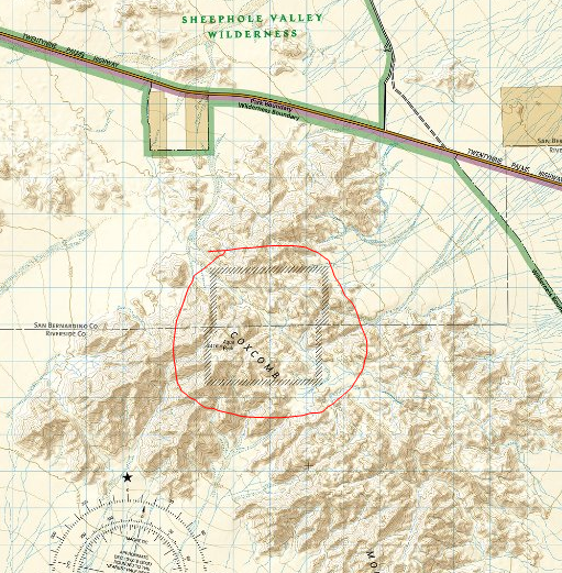
The Inner Basin and Aqua Peaks are day-use only, but I could not find any official information on this within the Joshua Tree National park website. There’s no signs telling you where you can/can’t camp, and there’s nobody around to enforce it, but still you should try and honor these regulations as the are set in place to protect the local population of Big Horn Sheep. When I arrived at the park to get my permit, I asked the ranger to show me on the map the boundaries of the day use area. His map was a Trails Illustration/Nat Geo map of Joshua Tree National Park, and it the boundary was clearly marked on it. Later at home, I created this image to show the boundary of the day use area in the Inner Basin of the Coxcomb Mountains:
Coxcomb Mountains Hike Maps
Download GPX file of this hike
[sgpx gpx=”/wp-content/uploads/gpx/CoxcombMtnsPostHike.gpx”]
This is the caltopo map of the route I hiked. I’ve highlighted the Inner Basin day use are for your convenience.
Day 1 – Friday December 2nd, 2016
Miles Hiked – 7
Elevation Gain – 1704′
When it came time to park at the trailhead, we tried to drive on some sand that was way too soft for my friend’s Mustang, and the car got stuck. Very stuck. We had to call a tow truck to pull it out, which was a 4 hour ordeal. The only reason we we able to call that tow truck is due to a passing motorist, who stopped and drove Dan to an intersection several miles away that had cell service.
We didn’t start hiking today until around 2pm. I was hoping to make it past the Inner Basin today, but was also considering camping before the Inner Basin if it didn’t look like we could make it before sundown.
We parked about .85 miles east of the “designated” spot. From here, it would be slightly out of the way to walk back towards the standard route. which runs west of the outcrop of small mountains (marked 806T on my caltopo map). Instead, we started hiking south and aimed east of the 806T benchmark. This wash appeared to be easy and take us to the same place, so we felt confident about of choice and headed out into the desert.
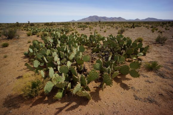
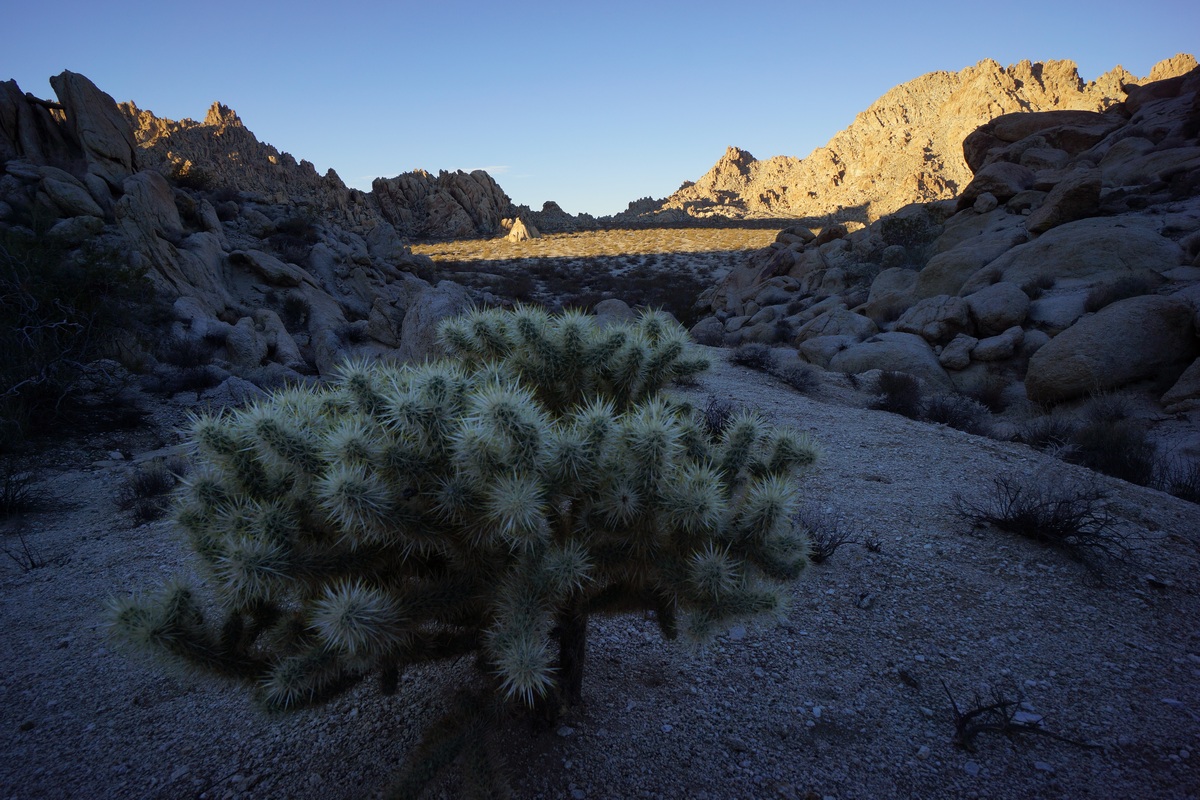
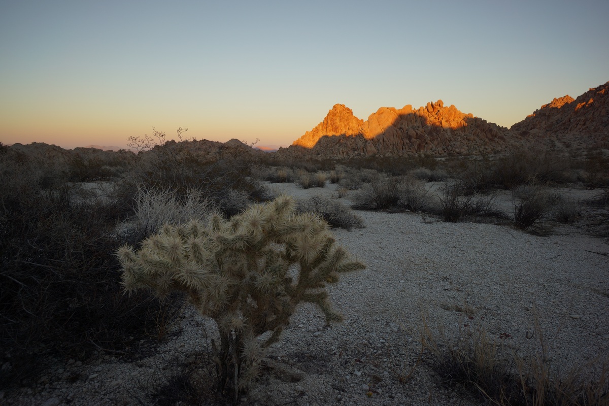
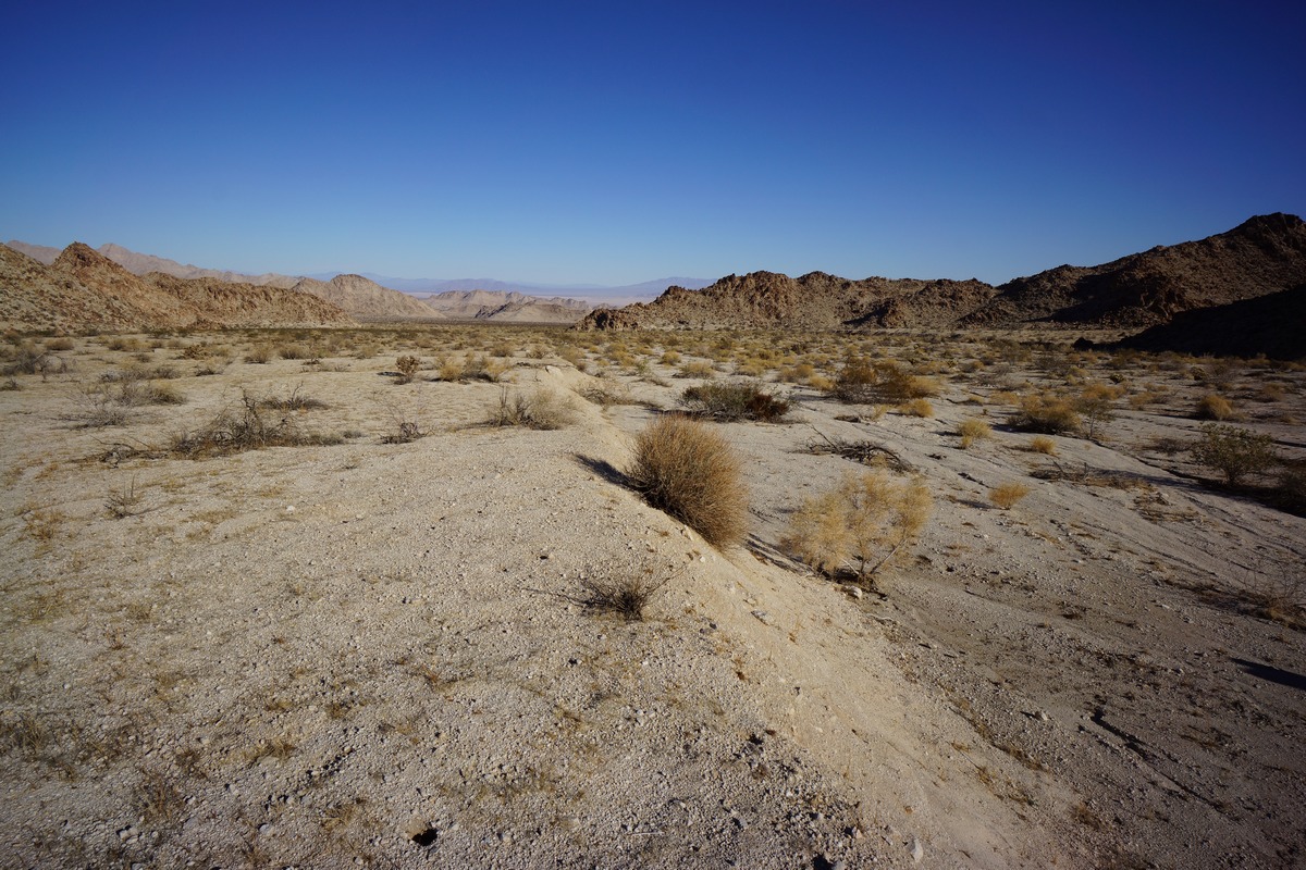
The desert floor consisted of soft sand in the washes, and slightly firmer sand elsewhere. Not the hard-packed desert soil I’ve hiked in much of the time in the past, in the Sonoran and Chihuahuan deserts. Vegetation consisted of low brush, much of it very thorny. No Joshua Trees here on this side of the park. We saw an occasional Prickly Pear and even a Sotol plant. Along the washes were some larger trees, at least compared to the rest of the scrub.
Not 10 minutes into the hike, and we saw a tarantula walking around, making it’s way back into it’s hole. This was the first time either Dan or myself had seen one in the wild. It was only about 55 degrees today, and being December I thought most of the snakes and spiders would be laying low somewhere. Cool to see!
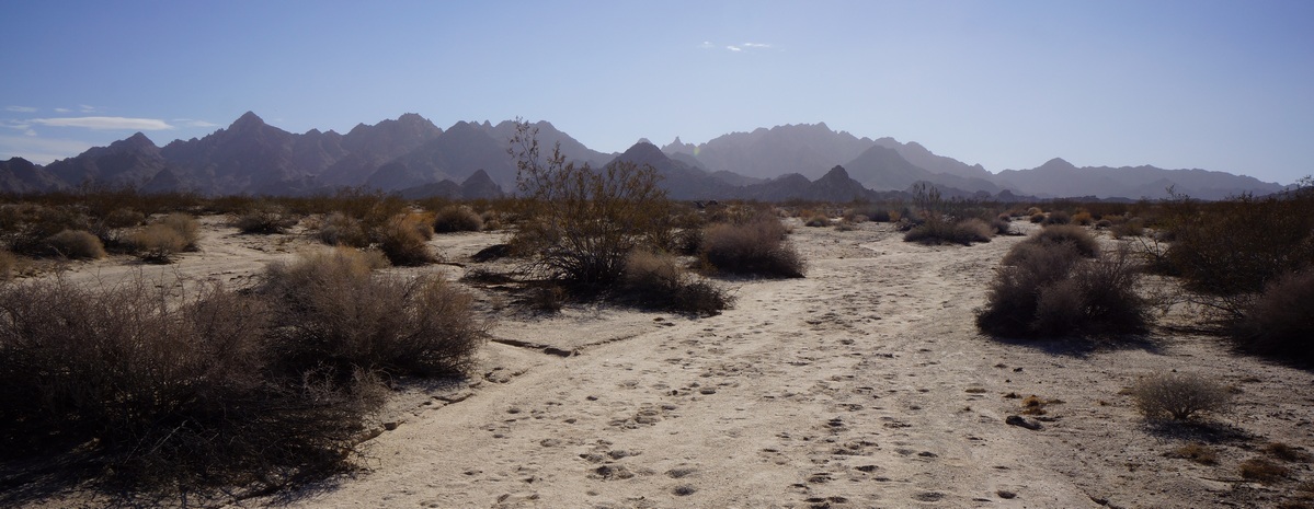
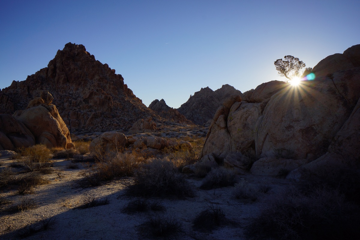
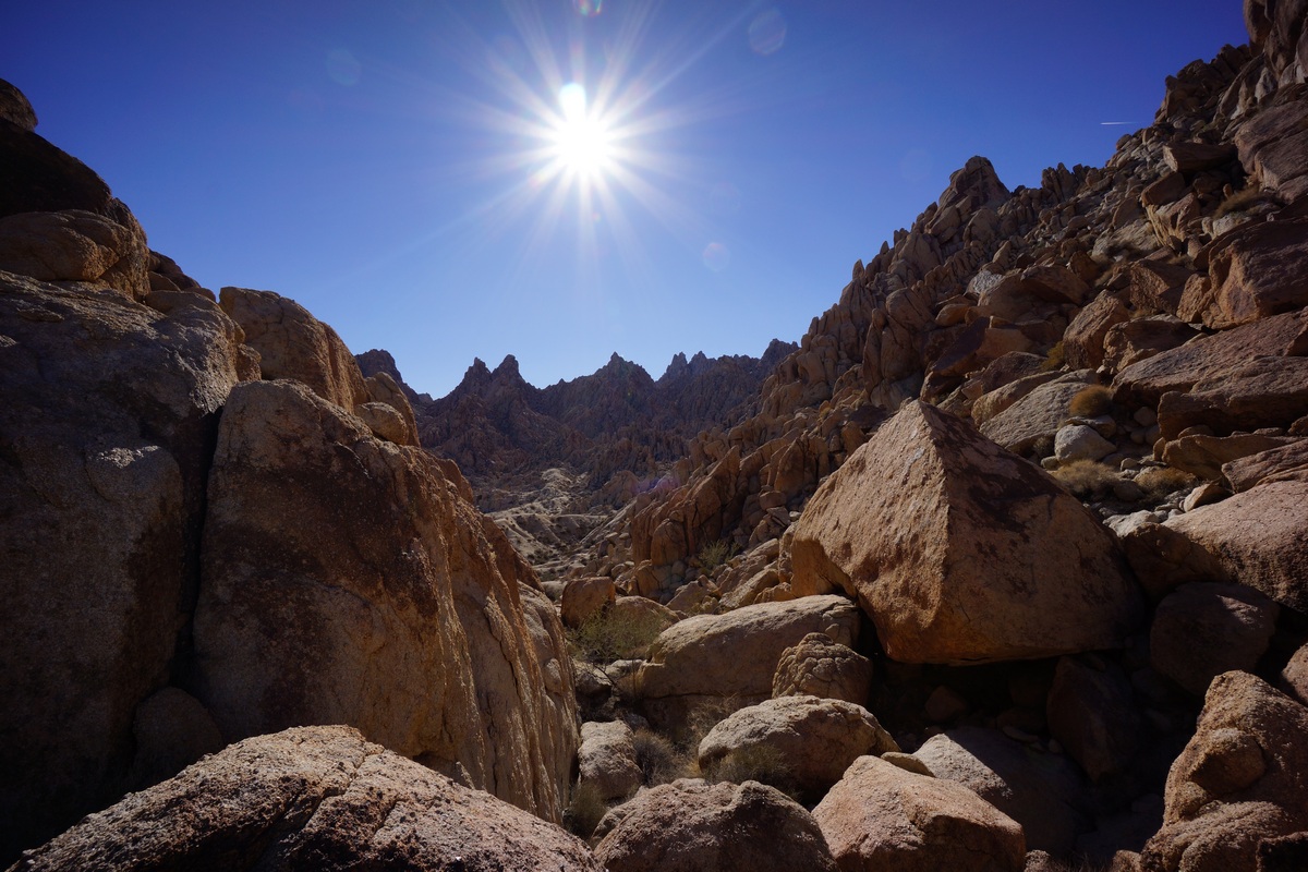
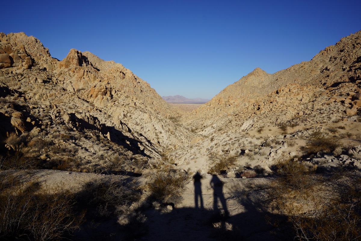
I’m not sure it would have been any easier had we taken the standard route, but walking along the wash east of the outcrop was really easy. We made great time through here. Looking back towards the car, we couldn’t see hwy 62 running through the desert. Pretty quickly you feel isolated here. The mountains around us were really rugged looking, especially compared to the rounded boulders of the iconic Joshua Tree landscape.
When we reached the point along our route where it intersects with the standard route, right before it heads uphill to Inner Basin Pass, we had a decision to make: camp here, or push on and hope we make it out of the Inner Basin before dark. We’d made great time so far, so we decided to chance it and keep moving. The terrain here remains easy, hiking up a sandy wash as the canyon narrows. I saw a jackrabbit darting through the wash, just about the only wildlife wee’d see this whole trip.
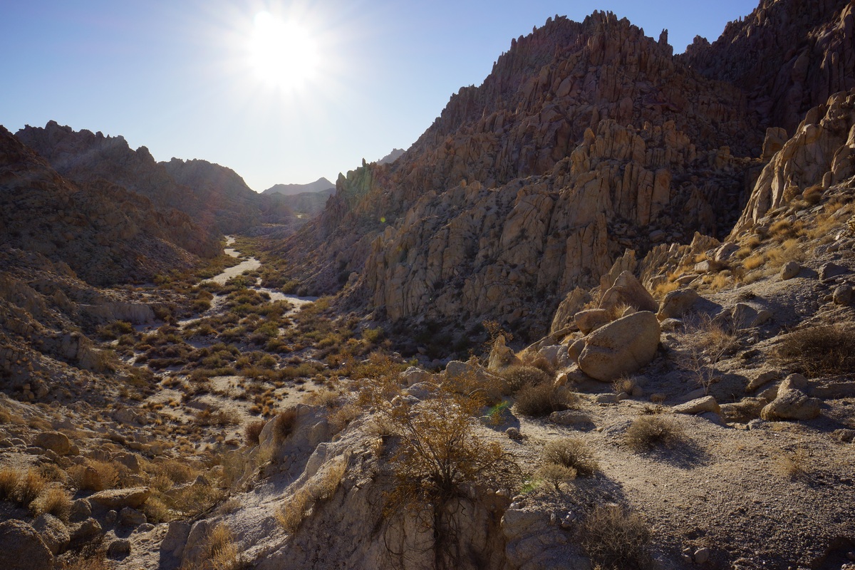
Eventually, our route in the sandy wash becomes a boulder climb. Not terribly difficult or long, but a bit of a scramble in spots. Once at the top, it’s actually a bit of a flat plateau. Our first views of the Inner Basin were impressive, but the view is best right before the trail drops down in elevation.
After dropping down into Inner Basin, it was back to an easy walk in a sandy wash. There’s a lot of thorny bushes around to snag clothing, but nothing too thick. The sun was really disappearing now, and the entire basin was shaded at this point.
When we reached the end of the Inner Basin, there were cairns leading southwest. I was expecting the route to continue southeast and up hill. I could have taken the route I had marked on the map, but I just followed the cairns. The route winded through some narrow canyons and involved a little more boulders. Eventually, we popped out into the large flat area nestled in the heart of the mountains seen from my map. I originally thought this was the Inner Basin, based on the look of it on the map and the piss-poor descriptions available on the web. To be clear, I am talking about the open area on the map at these coordinates: 34.0195, -115.3733. Since this area is not part of the day use area, we started to look for a campsite. It was really windy, so we walked to several outcrops of rocks to see if they provided ample wind break. Wind always seemed to be hitting us no matter where we stood, so we just picked a spot. I had to use my headlamp to finish setting up my tent. The sandy soil was so soft, I had to weigh down my stakes with rocks to keep the tent from blowing over.
After setting up camp, Dan and I ate dinner. It was 5:30 now and the stars were shining bright already. In fact, we could clearly see the milky way despite competing with the moon’s light. It was also getting pretty cold. Tonight was supposed to get down to near freezing. After shivering in the wind for a while, Dan and I decided to turn in around 6:30. Nights in the desert are long in the winter!
Day 2 – Saturday December 3rd, 2016
Miles Hiked – 10
Elevation Gain – 1671′
I woke up at 5:50 this morning, hoping to get in position for the sunrise. I walked over to Dan’s tent and woke him, but he didn’t get out of his tent by the time I was ready. In fact. he was snoring again. So, I let him sleep while I climbed up rocks behind our camp.
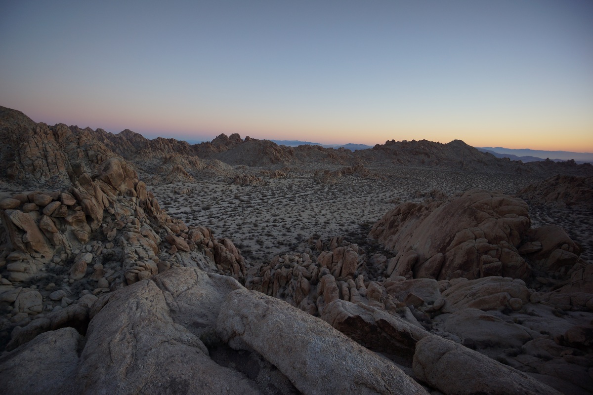
From my spot on top of the rocks, I had a pretty good view of the large flat basin in which we’re camped. I could tell the sun wasn’t going to be directly in view, but I had had a good spot to capture the glow of light in the distance.
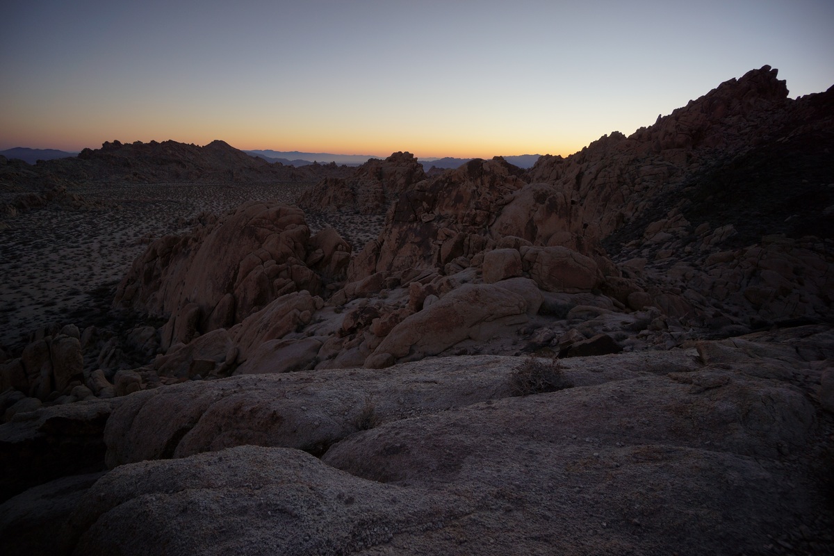
I spent a good while up here taking pictures of the sunrise and enjoying the excellent scenery. This was one of the better views of the whole trip.
When I returned to camp, Dan was still snoring. Again, I let him be and continued with my search for some good early morning photo ops. Next, I headed southwest from camp to the edge of this flat open area. Here, the map shows a large drop off down to Pinto Basin below.
Once at my destination, I realized most of it lies within the shade currently. maybe this would be better to return to this evening. I took a few pictures here before moving around some, trying to get to a higher vantage point. I bounced around from spot to spot along the tops of the nearby hills, but eventually I gave up on the area and decided to head back to camp.
Dan still wasn’t up when I returned after 8am now, so I tried waking him again. This time, it worked. After Dan ate breakfast and got ready, we headed out to do some exploring. Today, our plan is to go wherever we feel like going!
First, Dan wanted to check out a small cave we saw last night as we exited the Inner Basin area and entered the flat open area we camped in. The cave was a rounded cavity in a rock face, sitting about 8-10ft above the ground. With some effort, it’s possible to climb into it from below.
After this, we headed south across the open flat area. We hiked up over some boulders and dropped down into a wash below. We followed this was downhill for a ways. I had this marked on my map as a potential spot of interest, as the canyon looks like it narrows further down and is flanked by some cliffs ranging from 400′-1200′ plus. Might be worth checking out.
The hike down this wash was pretty easy at first. There were some occasional boulders that needed to be climbed in order to continue along our path. We had no intentions of following this canyon out into the desert, just to follow it for a ways. We didn’t see much of interest here, so we decided to turn back at our first real obstacle. There was a short drop off along the wash that might have been hard to get back up if we had continued down past it, so we figured this was a good turn around point.
We hiked back uphill and eventually made it back to the spot where we had originally entered the wash. From here, I suggested hiking higher up the same wash. On the satellite maps I saw at home, I saw a sizable patch of green here, which might indicate a spring or seep. Since thee was nothing marked on the map and no info on natural water sources in the Coxcombs online, we decided it might be an interesting destination.

Dan enjoying himself
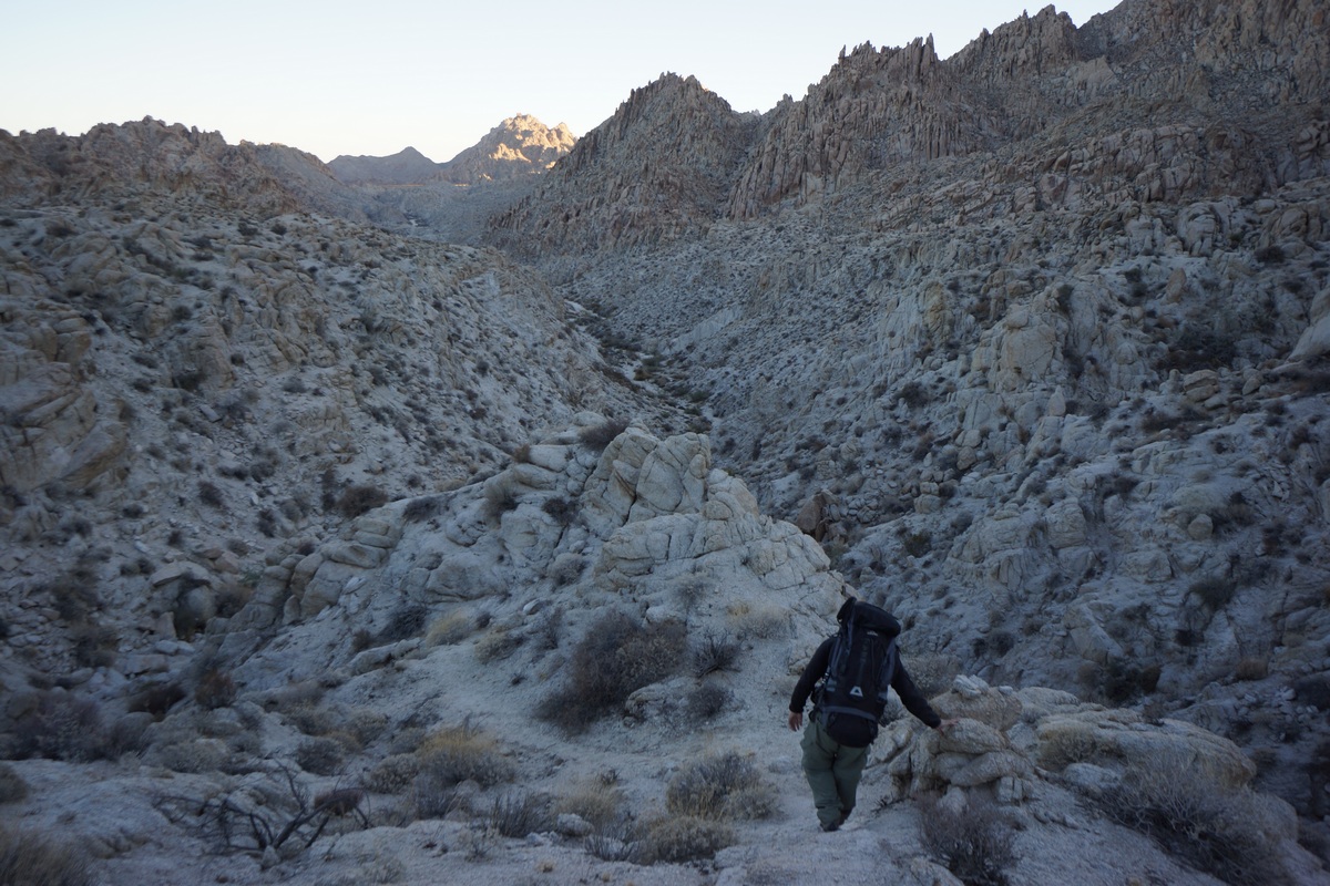
At first, our hike was again easy, winding through a sandy wash. Soon enough though, it turned into a boulder climb. This was a fairly long and sometimes challenging scramble, too. There were large boulders here, stacked on top of each other creating huge spaces in between them in which to fall. Sometimes, traversing the boulders meant walking along steep faces of the boulder with little or nothing to grip. A slip could result in a slide down the boulder and then a fall of up to 25ft onto various size and shapes of boulders below. Not exactly a high exposure type danger, but a real risk of injury if one step is out of place.
After a tough scramble to the top, there wasn’t much to see. The vegetation was thicker up here, and this meant mostly more thorn bushes. We had already been cut up pretty good during the rest of today’s hike, but the worst of it seemed to be up here. We pushed through the thorn bushes and headed for the spot of green I saw on the satellite map. Once at the spot, we did see a high concentration of some coniferous trees, the exact species, I’m not sure. They were so thick that I couldn’t penetrate them to check for existence of water, either.
We took a break here in the sun and relaxed for a while. We debated taking another route down, but that would require traversing some steep territory. Who knows what that will look like when we get there. It was early afternoon now and we end to start thinking about heading back to camp. We ultimately decided to take the same route back as we know it’s traversable already.
The jagged peaks that surrounded us looked more impressive going down than it did when we went up. It was hard work, but offered up some of the best views of the day. We also saw a big horn sheep skull that we didn’t see on our way up. It had both horns intact.
Coming down was a little easier. Before long we were in the sandy wash again and headed back to the place where we entered this wash. We could go over the little ridge we did this morning, or take another route, running northeast from benchmark 927T. We opted for the second choice. This took us back to camp, where we relaxed and rehydrated.
It wasn’t long before the sun was on it’s way down again, and fast. We decided to head back to the spot I visited this morning, on the southeast corner of the large open area. It was aonly a 10 minute walk to get there, but when we did the sun was just going down over the Pinto Mountains. It wasn’t the best vantage point base don the angle of the sun, but I snapped a few photos I was happy with. We ate dinner here as we watched the glow of the sun disappear.
Back at camp, we pretty much mirrored last night: sit on the rocks, watch the stars and chat. By 7pm we were both in bed again, seeking the relative comfort of the tent and the warm it provides.
Day 3 – Sunday December 4th, 2016
Miles Hiked – 7
Elevation Gain – 375′
I woke at 6am this morning, and Dan even woke on the first try. My original plan for today was to bag Tensor and Spectre peaks today on the way back to the car. However, Dan was not really wanting to do that after the climbing we did yesterday. He’d rather get back to the car early and spend the rest of the day driving through Joshua Tree or other areas nearby. While I was really looking forward to the great views from Aqua Peak (the name for Spectre, Tensor and Didiac Peaks), you really can’t go wrong with his plan either. So, I went along with the idea and started packing up my gear.
We started hiking at 7am. It was a little warmer last night, and so this morning was easier to get moving. He hiked back towards the elevated cave, then down into the narrow wash leading into the Inner Basin.
We were able to follow our tracks back through most of the wash, not that that was necessary. The route is very straight forward, just follow the wash through the canyon. There is one large side canyon running northeast, but it’s obviously not the main path. This is the alternate route that’s marked on my caltopo map. I know nothing about this alternate route though, and skipped it because it looked like it would involve more climbing and steeper terrain that we won’t have to deal with if we continue the way we came.
We made it to the top of Inner Basin pass in good time, and had some nice views of the basin. We continued on down hill through a couple of patches of boulders, but the rest is pretty much sandy wash from here on out.
Back down in the main wash, we followed it out of the canyon and took the same path we took in two days earlier. We followed our own footsteps on and off as we hiked through the small canyon. I saw another jackrabbit through here, and wondered if it was the same one I saw Friday. It was practically the same area.
The landscape looked unfamiliar as we returned, as we now had a huge open desert in front of us. On Friday, all that was at our back and we only saw it as we turned back. It was nice to have this contrast as we left the mountains and now entered the desert.
The final stretch of desert had us talking about our dreams of a hot lunch. It took a while to actually spot hwy 62. The car was parked behind some boulders along side the road where others had clearly camped, and we headed for a graffitied rock that marked the spot. We were relieved to see that the car had not been broken into. The time was just before 10am, so almost a 3 hour hike from our camp.
From here, we headed back into 29 Palms and ate ate the Andreas restaurant. Good burgers, they really hit the spot! After this, we headed into Joshua Tree National Park on Utah Drive road to explore the park by car.
Final Thoughts About Hiking In The Coxcomb Mountains
The Coxcomb Mountains are a great place for a weekend hike, provided you’re OK with hauling in all the water you’ll need. Without a reliable water source though, longer trips aren’t really possible here. It doesn’t look like this place gets much use. The access probably keeps many people away, as well as the day use restriction in what might otherwise be the best camping spot.
As always, questions and comments are welcome!
If you found my trip report useful, please don’t hesitate to leave a comment! Alternatively, if you feel you have any information you’d like to share with others regarding this hike, please feel free to leave that below in a comment as well.
Big Bend National Park 7 Day Hike – Jan 2016
View All Big Bend National Park Photos | Big Bend Hike HD Video on Youtube
- Location – Big Bend National Park, Texas
- Fees and Permits: $12 for backcountry permits. $25 to enter the park. $14/night in the developed campgrounds.
- Length Of Time Hiked – 7 days, 6 nights (plus 2 days in the park before the hike)
- Miles Hiked – 85
- Trail Type – Point-to-point
- Starting Trailhead – Sotol Overlook (parking near Homer Wilson Ranch Overlook)
- Ending Trailhead – Chisos Mountain Lodge
- Route Difficulty – 7.5/10
- Fires Allowed – No
- Solitude – 9.5 everywhere but near the Chisos Mountains, where solitude is a 2
- Scenic Beauty – 8.5
Maps For Big Bend National Park
My main navigation tool is my Garmin Oregon 450 GPS. I am using the Garmin 24k National Parks Central map set. I also carried a printed 24k topo map for each individual day of hiking from my maps on caltopo.com, which are shown below. From those caltopo maps, if you follow the link to the full map in the upper right corner, you can print out the maps for yourself.
Below is a caltopo map showing my completed hike with my waypoints(click the link in the upper right corner to go to the full map):
Below is a caltopo map I created to plan this hike(click the link in the upper right corner to go to the full map):
About Big bend National Park
Big Bend National Park covers over 800,000 acres, making it the largest protected area of the Chihuahuan Desert in the US. It contains more than 1,200 species of plants, more than 450 species of birds, 56 species of reptiles, and 75 species of mammals. The park, particularly the Chisos Mountains region, is home to a small but very active population of mountain lions and black bears. It is estimated that there are only around two dozen mountain lions and 25-30 black bears in the park, but sightings are somewhat common.
Before 1535, there was evidence of several Indian groups inhabiting the region. The Chisos Indians and the Jumana Indians were two of the prominent tribes in the area, and records indicate they may have been enemies. Early in the 18th century, the Mescalero Apaches had overtaken the area and displaced the Chisos. One of the last Native American tribes to use the region was the Comanches, as part of their periodic raids into the interior of Mexico until the mid 19th century.
In 1933, the Texas Legislature passed legislation to establish Texas Canyons State Park. Later that year, the park was redesignated Big Bend State Park. In 1935, the United States Congress passed legislation that would enable the acquisition of the land for a national park. The State of Texas deeded the land that it had acquired to the federal government, and on June 12, 1944, Big Bend National Park became a reality. The park opened to visitors on July 1, 1944.
The geology of Big Bend National Park is really interesting. Here, you have mountains next to desert, next to a river. Much of the landscape as we know it today was formed only recently in geological terms due to volcanic activity, erosion and a variety of fault lines. However, at one point the entire region was the bottom of an ancient sea. The NPS site says it best… “The abundance, diversity and complexity of visible rock outcrops is staggering, especially to first-time observers”. How true. It seems around almost any corner you turn in Big Bend, things look completely different.
Travel Day/Pre Hike Day 1 – Saturday January 9th, 2016
My buddy Ryan and I flew into Midland/Odessa airport on Saturday January 9th. From there, we rented a car and hit up a local grocery store for food and supplies for the next day and a half before we start the hike, as well as some last minute food items for the hike itself. We then stopped at a sporting goods store to get fuel for Ran’s stove, and then we were off towards Big Bend National Park, roughly a 3 hour drive to the park’s entrance.
As we left Midland, we saw a sign for a Meteor Crater impact site. Wow, that’ sounds cool, we thought. I remember seeing the sign now from the last time I went to Big Bend, but we didn’t have time to stop. Well, this time we went for it. And it was only a 5 minute drive off the main highway! But our excitement quickly faded when we arrived. There was a small building that acted like a museum for the meteor beside the impact area, which was rather small and unimpressive. Neither Ryan or myself took a picture. We walked into the little building and immediately the guy behind the counter literally shouted “Please sign in!”, then went back to whatever he was doing. The actual meteor was sitting there in a case, which was sort of neat. I believe it was something like 195 pounds, and the size of maybe 2 basketballs. We got out of there pretty quick and made some jokes about how we should just skip the Big Bend trip and stay here at the meteor crater site the whole time.
We made the drive through Ft Stockton and then continued down hwy 385 to Marathon. Last gas station til we hit the park. A few miles south of the city of Marathon is the border patrol checkpoint. But they only stop you going north, so we just drove right through. We had our first javalina sighting after passing the checkpoint but before reaching the park as it ran across the road.
Once you hit the park entrance, it’s still a really long drive to get anywhere in Big Bend. Your GPS might tell you it’s a 3+ hour drive, and with the 75 and 80 mph speed limits most of the way, that’s really feasible. But After entering the park, it’s 26 miles just to Panther Junction. From Panther Junction to Rio Grande Village, where we’ll be staying for the night, it’s another 20 miles. At the posted speed limit of 45 throughout the park, that would take quite a while. However, most people seem to drive a bit faster which just makes sense given the open land here.
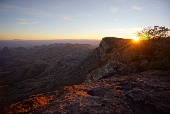
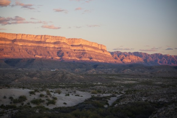
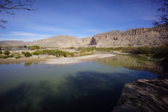
We arrived in Rio Grande Village with just enough time to set up our tents before the sun started setting. We walked around the campground for a bit before finding the Nature Trail. We followed this out to a bend in the river with a good sized hill in the middle for a view of the surrounding area. During sunset, the Sierra del Carmen mountains behind the town of Boquillas, Mexico are illuminated quite nicely.
We came back to camp and settled in for a cold night. Lows were in the 20s this evening. We did cook a couple of steaks over the charcoal grill though, so there was at least some warmth there.
Pre-hike Day 2 – Sunday January 10th, 2016
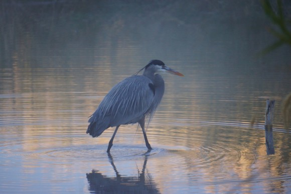
It was a cold night, and we both had some frost to contend with inside our tents this morning. As soon as I awoke I hurried over to the spot we watched the sunset from last night to catch the sunrise. There was a low mist over the Rio Grande which made for some nice photos. There were a few javalinas rooting around near the banks of the river as well.
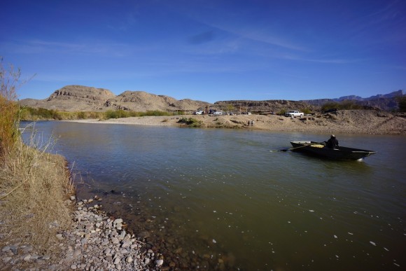
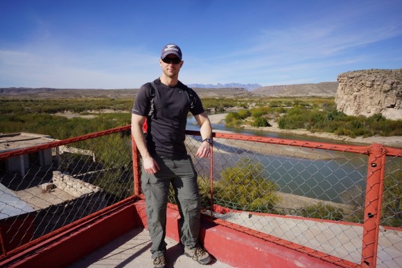
After we packed up our camp and had some breakfast, we headed down to the border crossing at Boquillas. The town of Boquillas lies on the other side of the Rio Grande across from the Rio Grande Village area. The crossing was closed after 9/11 and just now reopen a few years ago. Here, you can cross the Rio by row boat into Mexico for $5, or you can literally walk across. When we visited though, the water was chest high and 40°F so the row boat sounded like the more sane option. Under the right conditions it would have been cool to just walk across back into the US. To secure the row boat ride, you just flag down one of the guys on the other wide of the river and they’ll row across and pick you up. Once in Mexico, you can rent a donkey or get a truck ride into town, hire a guide, or just go it alone on foot as we did. It’s only about a 10 minute walk to town.
Once in town, we stopped at the immigration office (a white trailer) to get our passports stamped and fill out a form. When leaving to go back to the US, we must remember to come back here and return the stub that came with the form we just filled out. After leaving the immigration office we saw a couple of soldiers (who just looked like young kids) walking down the street with automatic weapons in camouflage. They were talking with the towns people and seemed friendly, but we didn’t get too clsoe. We popped into Falcon’s restaurant for a bit and inquired about getting to Boquillas Canyon, and returning for lunch later. The lady there spoke good english and gave us good information on how best to get to the canyon and what we can do with a half day here.
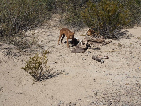
After leaving Boquillas and headed towards the canyon, we saw a couple of dogs eating a mule(?) carcass along side the road. Mmm, that’s all you buddy.
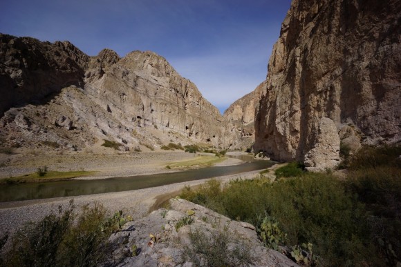
We pretty much just followed the river there. The walk was nice but a bit longer than we were expecting. Once we got to Boquillas Canyon, there were a couple of older guys sitting around by the bank, probably waiting for tourists like us. He asked if we wanted to see the crystal cave, which the lady at Falcon’s told us about. We said sure and let him take us to it. It’s a good thing too because we probably wouldn’t have found it on our own. It was cool to see but we were both expecting something a bit larger, like something you can walk inside. This was more like a big crystal pocket exposed on the outside of a huge boulder.
We got a few pictures down by the river in the canyon before heading back to town. We were told there is a road to follow that is quicker than taking the river back and we did locate that road. After a while though, the road started veering off and looking like it was going out of the way. At this point we just needed to cross some open desert and a sand dunes area to get back to the main road out of town, which we did.
Back in town, we stopped at Falcon’s for lunch. After that we headed down to the immigration office to return our stubs and then back down to the Rio. We got our row boat ride back onto American soil and then it’s back through the US border crossing facility. The process for reentry was basically this: go to this booth, scan your passport, pick up the phone (there is a camera on you recording), talk to the immigration officer on the phone and answer questions. For me, they asked “Are you an American citizen”? Yes. “Are you declaring anything”? No. “Have a good day sir.” And we were on our way.
Now mid afternoon, we headed to Panther Junction visitor center to get our backcountry permits for the hike. After some printing errors we were issued a permit and now had a couple of hours to kill before sundown. Tonight we’ll be camping in the Chisos Basin, but for now we decided to hit the road and drive around the park a bit. From Panther Junction, we headed towards Study Butte. We drove about 13 miles before turning onto the Ross Maxwell Scenic Drive. Lots to see through here and a great way to spend some time.
Once the sun started to dip we headed back to the Chisos Basin. By the time we got to camp it was dark, and we still had to set up our tents and get some gear together for the hike tomorrow. After getting the tents up we decided to just get dinner at the Chisos Mountain Lodge restaurant. Neither one of us wanted to sit around forever cooking food in the dark over the charcoal like we did last night, and this was probably the best decision we made today. After coming back from dinner we started topping off our camera batteries before heading too bed. Tomorrow, we hike!
Day 1 – Monday January 11th, 2016
Miles Hiked – 9.37
Route – Sotol Overlook to Smoky Spring
I always have great intentions for the first day but somehow it always seems impossible to stay on schedule. We got up around 7am and proceeded to cook breakfast while getting a jump on the rest of our food preparation and gear packing. I still had to make my dinners and lunches for the hike; since I’ll be eating salami and pepperoni wraps for dinners, I figured I’d wait until this morning to make them.
The plan for today is to drop down into the Blue Creek wash from our starting point and hike off trail through a canyon east of Goat Mountain towards Mule Ears, over to Mule Ears Spring and then over to Smoky Spring to camp for the evening.
We finally got to our starting point at Sotol Overlook and started hiking at 10:30am. We had planned on starting from the Homer Wilson ranch, but it just has parking along side the road here. Only a few hundred yards down the road (south) of Homer Wilson is the Sotol Overlook which has a better parking area and a bathroom. We chose to park here and just head down the hillside here to get into the wash below. After all, today’s hike will all be off trail for the most part anyways, might as well just start now instead of walking down to Homer Wilson.
After descending the first hill from the road, we found ourselves in a wash. We followed this wash to another hill, over that and down into another wash. Already it was a bit difficult to tell which hill we needed to be on which side of as we searched for the right drainage to follow. And to make matters worse, there were a lot of thorn bushes to contend with here. I slipped and fell fairly early on into the hike and cut a small cut on the knee. Ryan also had a fall early on but without any major damage done.
It wasn’t long before we were certain we had found the right wash to follow. Eventually our route led us to a point at which our path narrows and we enter a canyon. Our route today has us walking through the wash running between Goat Mountain and point 4358, which seems to have no official name or trails on any of the maps. Then we hit our first pour off, and had to drop our packs for an 8ft down climb.
Sometimes the wash we be really easy to follow, with nice fine pebbles to walk on, and other times we found ourselves fighting with thick thorn bushes and climbing down small pouroffs. For now, the going was not bad overall. The geology of this area is really interesting and gave us much to look at as we passed through this canyon. The one thing we noticed pretty quickly is that there is a lot more signs of animals here than human. There were piles of bear crap every 50ft or so along much of this wash.
We took a break around noon. That’s one thing I know I don’t do enough of is stop, take my pack off, and have some food and re-hydrate. For me, I am always wanting to get to the destination as soon as possible for some reason. So, it’s nice to have someone with me to make me stop more. I know it’ll be best for me at the end of the day.
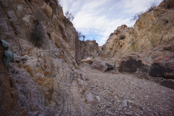
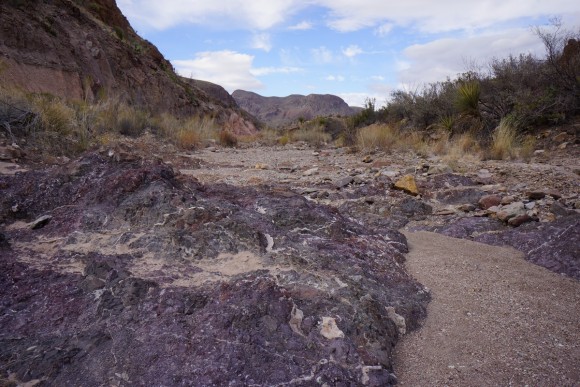
The walls of the canyon were becoming more varied now. Sometimes they were red, white or a dark blue/purple color with a quartz veins running through them. Really cool Stuff.
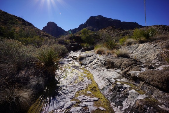
There was another pouroff not too much farther up but this one we were able to find a walking route down without dropping our packs. Soon after we hit our first spring. Honestly, I don’t know the name of it, but there was some water here. There was even an old pipe running from the spring downstream, although the pipe was broken in half several feet away. I didn’t see any large pools for filtering though, and since we were pretty well stocked on water at the moment I didn’t look very hard either. This spring is located directly west of point 4358 and just southeast of Goat Mountain. There was an old dam here at one point.
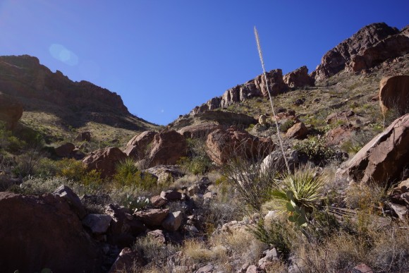
Not much farther downstream from the spring we hit our first major obstacle, a huge pouroff of about 100+ ft. There was no way to down climb this one. Instead, we worked our way around the top of the high ground to our west. From here it looked like our route down was going down a ridge, but as we got closer it appeared a bit too steep and crumbly. Next we thought we’d follow the gully alongside this ridge down. This too was steep and treacherous. Eventually we stopped about midway down while Ryan dropped his pack to recon the lower portions of this gully. Near the bottom, he encountered another drop off of about 30ft making this way a no-go. Meanwhile, I started climbing up the crumbly ridge. Even though it was only a short ways up, it was precarious and gave up on the notion of using the ridge for a route down. Ryan then worked his way up the hillside from below. He spots a route out from the top, and he comes down to pick up his pack.
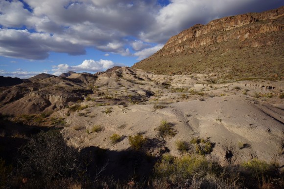
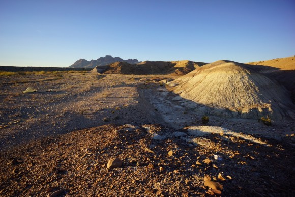
After what seemed like a good amount of time, we finally found our way down off this high ground and back into the more manageable wash below. Now, it’s like we’re in the Badlands. Big Bend actually has a lot of Badlands areas scattered throughout the park, but I hadn’t really planned on encountering them here. I find these areas really interesting and very good for photography. Too bad the sun was straight ahead much of the afternoon, washing out many of my photos.
We passed one interesting rock formation we dubbed “Camel Rock”. Pretty clearly a Camel, and to me as distinct if not more so than Boot Rock.
By mid/late afternoon, Ryan’s pace had slowed considerably. He had tore his planters tendon last year and the rough, rocky terrain of today’s off trail hike was beginning to aggravate his foot. As we made our way through this badlands area, we had a hard time telling which way to go to reach Mule Ears Spring. We didn’t see any real trails running through here, although I did see my one and only footprint for the day (the next 3 days actually) in this area. Since we were good on water at the moment and had Dominguez Spring coming up tomorrow, we decided not to go to Mule Ears Spring and just head straight to our campsite near Smoky Spring.
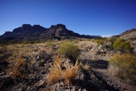
There was a network of washes running through the flatlands here as we had made it to the general Mule Ears area. However, the two trails on the map running through these washes don’t really help us now in terms of reaching our campsite near Smoky Spring, so we must walk a direct line across the open desert here towards Smoky. In the distance was a rock formation we thought looked like a marmot, and we headed for that as it was pretty much in the direction we needed to travel. Soon we were approaching the trail on the map running towards Smoky Spring. When we reached the area where the trail should be, it was so faint it might as well not even be considered a trail at all.

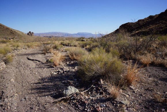
Hiking through a wash between Mule Ears and Smoky Spring. This may have been the Smoky Creek “trail”, which we were only on for a short ways. You’d never even know you were on a trail at all, as there were no cairns or signs. I did see ONE footprint somewhere near here.
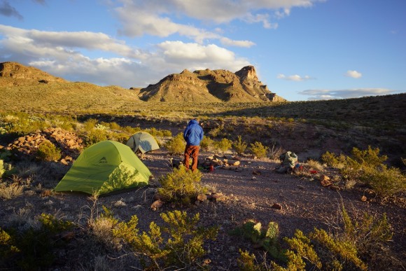
We set up camp in the general vicinity of Smoky Spring. We could see some water down in the gully containing the spring, but there was no easy way down from where we were, and since we were in no need of water tonight, neither of us made it down there for a closer look. There were some ruins nearby as well, above Smoky Spring and nearing the point where the canyon really starts narrowing.
Sun set quickly after we reached camp and soon the stars were out and shining brightly. We were only a couple days into a new moon now so the sky was extremely dark after the moon dipped below the horizon. We saw a couple of shooting stars as we sat outside chatting. Around 7:30pm, we heard a raspy growl a few hundred yards away near the base of the mountains. I’ve never heard anything like that before. We both agreed it was a cat of some sort… bobcat or mountain lion. Great! We tossed a few rocks in that direction and continued to have our conversation, a bit more loudly now.
We discussed the state of Ryan’s feet, and ultimately he decided that tomorrow morning he’ll hike back to the road near the Mule Ears Overlook and hitch back to our car. Our first day was really rough on his feet and he decided that he did not want to find himself many miles from a road if anything really bad were to happen, such as tearing the planters tendon again. At this point we estimated that it would be about a 5 mile hike back to the Mule Ears Overlook tomorrow, if he could find the trail that we missed earlier today. We then made some plans for the remainder of our trip. I would be continuing on solo, and Ryan is going to try to meet me up on the South Rim for our last night. The thinking is that he’ll be rested by then and we would be closer to help if need be as well as have a more well maintained(less rocky) trail up into the Chisos.
Well that’s a bummer that I will have to hike the rest of this alone, but I am prepared to do so. Still, I can’t help but think of the overwhelming feeling of deja vu… my Wind River Range hike in 2014 where my buddy backed out on the morning of day 2 and said he’d join me on our last night. Hopefully this works out and he is able to join as planned, that would be a great way to finish out this hike.
After going to bed around 9:30 we heard that raspy growl again. Later that night, I heard something moving around in camp and I started making some noise. Ryan heard it too, in fact he said he heard something brush up against his tent as he awoke from my shouting. More than likely it was that mountain lion coming into our camp to check us out. We talked and made some noise for a while before finally falling back to sleep.
Day 2 – Tuesday January 12th, 2016
Miles Hiked – 13.39
Route – Smoky Spring to badlands north of Y Spring
After we heard the animal in camp last night, the remainder of the night was calm. It was a clear day when the sun rose over Mule Ears this morning. We packed up camp and by 9:15am we had said our goodbyes and parted ways. This, of course, is a very odd feeling given all the planning and preparation that we had put into this trip, but being flexible is the key to salvaging a hike like this. Ryan will have plenty to do around the park with the car, and should have no problem entertaining himself.
The plan for today is to go up Jack’s Pass, down to Dominguez Spring, and follow the Dominguez Spring Trail out into the open desert. At some point I will leave the trail and head southeast into the open desert towards a patch of badlands to camp for the evening.
After I left camp behind, the trail descended from the high ground into the wash below as the canyon narrowed further. At first, there were some patches of thorn bushes to work through, then the going was clear for a while. It started out sandy and not too rocky.
As I made my way through this new canyon I began to see more signs of bear once again, with more crap littering the trail. And when I say trail, really I just mean the wash. There is no clear trail through here, nor was there anywhere yesterday.
The hike through here wasn’t terribly hard, but the ground was no longer small rocks and pebbles. Instead, I found larger rocks and thicker, thorny plants choking the walkway. It wasn’t a bad hike through here but at the same time it wasn’t as scenic as I was expecting. There were no cairns through this area, and so a couple of times I took the wrong wash before realizing my mistake and backtracking to the main wash.
Once I found myself at the base of the final push up Jack’s Pass, I could see an old fence line running up the mountainside. This fence line appeared to follow the best line up to the pass, and so I naturally followed said fence line. While not very technical, the climb up to Jack Pass from here was a little steep. Combined with all the cacti and thorn bushes, it was not a necessarily fun climb.
I reached the top of Jack’s Pass around noon. First thing I did was stop and have a break. After getting my fill of food and water, I had to think about climbing up point 5168 or not. From the pass, everything but the first section is hidden from view. All I can see is a really steep path up the next hill.
After some debate I headed up to the top of that first steep hill to check things out. I decided not to go any further for a few reasons. Mainly, I wasn’t sure how much time I was going to have to get to camp later before sunset if I do this. I had to get water from Dominguez Spring below which was going to take some time, as well as just finding the spring. That, and the climb down Jack’s Pass looked really steep. I got some pictures from this point while I was here and decided to skip the summit of point 5168.
After returning to Jack’s Pass and retrieving my backpack, I headed down towards Dominguez Spring. This is one of those passes where you really can’t see the route down yet from the top because it’s just so damn steep. As I approach the edge, the landscape below slowly comes into view. Although there is a path to follow near the top, it quickly fades away leaving me to climb down any which way I see fit. This took quite a while getting down due to the steepness of the terrain and the cacti everywhere.
Once I was finally down off Jack’s Pass, I found myself in another wash. This is much easier to manage and heading in the direction of the spring. Although I was expecting to have to search a little harder for it, after a bit of walking I reached Dominguez Spring. Here there were several areas of water running over rocks and a couple of pools here and there. Lots and lots of bees buzzing around too.
I have no idea about the flow rate of the spring, but I was able to filter 5L from here without any impact in the size of the pool. I left the spring around 3:15 or 3:30 after getting what I need. My map shows that the Dominguez Spring trail starts here (if you’re heading south like me), and it basically follows the wash out of the Dominguez Spring area and into the open desert. There were several washes flowing through here so it was hard to stay in the main one where the trail actually is, but they all run in the same basic direction.
I was making great time now through these washes as I head south into the flatlands. I could see more bear crap again and even saw a nice distinct bear print.
The sun was going to set soon and I needed to cover some miles while the moving is easy. There were less cacti here and the plant life was spread apart much more, making cross country travel a lot easier. As I walked through desert, I scared up several jack rabbits. Most of the time they take off long before you get near, other times you practically step on them before they decide it’s time to flee.
I had picked a spot on the map before heading out here to camp for the night, and now I could see that spot in the distance. Although it looked like a fine spot to camp, another area sparked my interest just south of that. It was another patch of Badlands, and it appeared to be a good spot to camp on the edge of. So, that’s where I’m heading. I reached that spot at around 5:30, just enough time to settle in before sundown.
I really like the area I chose to camp. While there’s not much time to explore now, tomorrow morning is shaping up to be quite interesting as I make my way through this unique and colorful area. The ground here was pretty flat and mostly free of large rocks. I did notice some rodent holes in the area but less animal tracks overall. With no wind, it was also ridiculously quiet here.
Right before I was going to get into my tent and go to sleep, I scanned the nearby area with my headlamp. At about 100yds, down in the nearest wash, I saw 2 eyes staring at me. I chucked a rock in that direction and the animal moved a little bit. I figure it was a coyote by the way it walked. Whatever it is, I didn’t want it hanging around camp tonight. I yelled at it and threw a few more rocks, and eventually chased it away from sight. With all the rodent holes in the area though, this is probably prime hunting ground for them.
Looking back at the day, and the hike as a whole for that matter, I wish I had chosen to hike through Fisk Canyon instead of going up over Jack’s Pass. I had debated about this for a while while planning this hike, and chose Jack’s Pass in favor of the high ground. Oh well, Fisk Canyon will have to be on another adventure.
Day 3 – Wednesday January 13th, 2016
Miles Hiked – 13.42
Route – Badlands north of Y Spring to Mariscal Canyon overlook
I did hear some coyotes howling last night but they were pretty far off in the distance. Otherwise I slept alright. It was 39° in my tent this morning, but each night has been getting a few degrees warmer since I’ve been here.
The plan for today is to head for the Rio Grande to the southeast, refill my water there, then head up the Mariscal Canyon Rim Trail to the Mariscal Canyon Overlook where I’ll camp for the night.
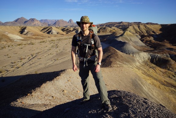
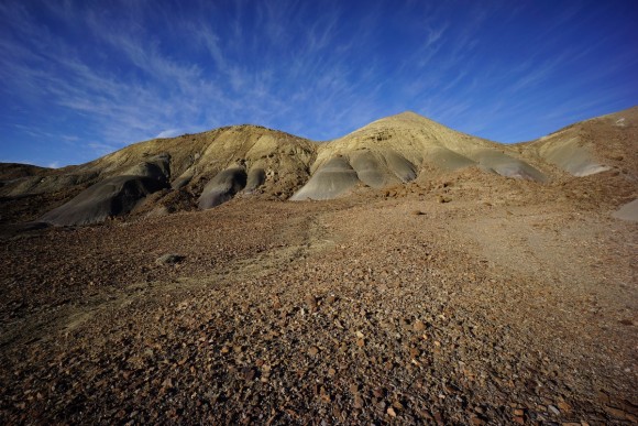
I broke camp around 8:15 this morning, heading off into the badlands. As the sun rose, the beautiful colors here began to show themselves. What an awesome and amazing place to find myself, and alone at that. This area is truly desolate looking and yet so intriguing. How could people not want to hike through here?
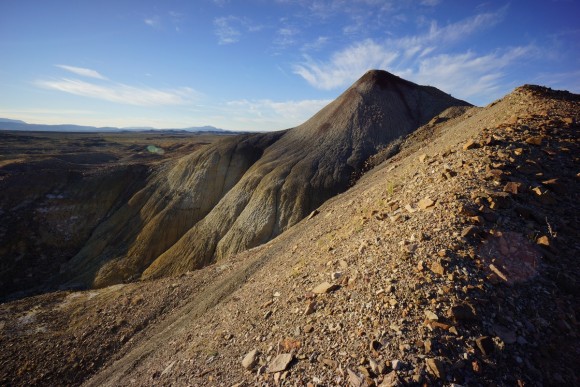
I quickly became keen to the idea of walking the spine of one of these ridges, and so I climbed up one. I walked along the ridge for a while, taking my time as I played with my camera and GoPro. I wish I had more time to spend here, but I also wanted to make sure I reach the Mariscal Canyon Overlook early enough so that there’s enough sunlight for some decent pictures there. And so, the need to move compels me to get a move on. I worked my way down the side of the ridge and down into the lowlands below.
More interesting landscapes in the lowlands below the ridge I was just walking along for a while. Eventually though, these formations end and the land transitions into open desert. Some of this is sandy, and other times it’s small rocks. Either way, very easy to move through compared to the mountains and canyons of the first day and a half.
Now that mandatory contact with cacti and thorn bushes is a thing of the past, for now, I decided to zip my pants off into shorts. This felt great as it was getting rather warm today. Soon I was overlooking Y Spring, and as I was expecting there was no water in sight. There was a lot more green vegetation here though.
Later in the morning, I was walking along some ground which suddenly dropped away, leaving me standing at the top of a small plateau overlooking the wash in the lowlands below. Down in this wash I saw a coyote, right out in the open. He clearly saw and heard me. As quickly as I could, I swapped on my zoom lens. unfortunately, by the time I got it on and looked up, he was gone. I took a quick food break while I had my pack off and continued on my southeasterly path.
Not much of interest between the coyote and the Rio Grande along my route. I saw a bunch of horse tracks through this stretch, and a bunch more jack rabbits. After a couple miles of that I reached the dirt road that runs down to the Rio Grande at Talley around noon. I followed that road the rest of the way there and reached the Rio by around 1pm.
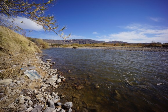
There was nobody in sight at the Rio Grande. I kinda thought I’d see someone here. The banks are pretty high up above the river, and at Talley there is really only one spot where you can step down the bank and get to the water’s edge. I filtered 8L of water, and I had a liter already so I have 9L to get me though today, tomorrow, and late morning day 5. After filtering the water, I rinsed off in the river. I know it’s January, but for some reason I expected the water to be a little warmer. It was cold! But, it felt great to get clean. No chance of doing this again for the rest of the hike so I better take advantage of this now.
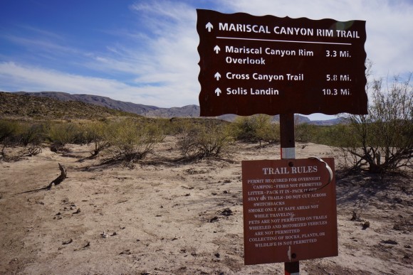
By 2:30 I was leaving the Rio and heading back up the dirt road 1/3 mile to the trailhead for the Mariscal Canyon Rim Trail. The trail starts off refreshingly well marked and very easy to follow. Something I hadn’t seen so far this trip.
The landscape was very interesting through here, but unfortunately the sun washed out many of the good photo ops. The trail was relatively easy much of the way up, not too steep, until the last 700ft.
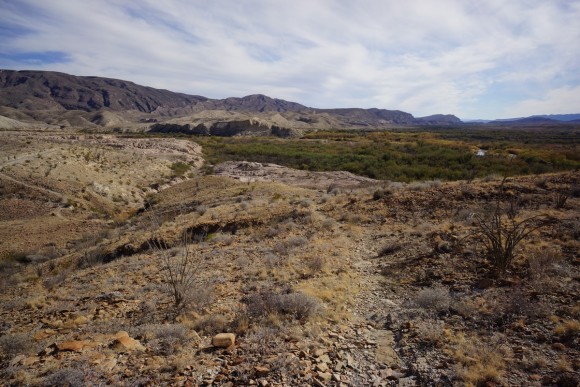
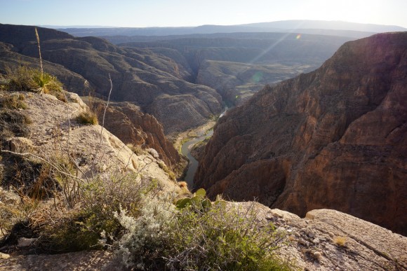
The last push was the hardest, but then I found myself on the “top” of the canyon over looking the Rio. Wows, this was truly incredible! I was looking forward to this campsite tonight and the views did not disappoint.
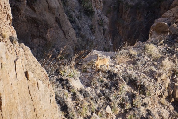
After setting up my tent, I gathered my camera gear and headed off to the edges of the canyon to soak in the hard earned views. As soon as I reached the edge I noticed some Aoudads, or also known as Barbary sheep. These guys were introduced to the US(parts of Texas, New Mexico, California) sometime after WWII from Africa. And I’m actually looking at several of them now, moving along the steep cliff side below. This time, I was able to get my zoom lens on in time to snap a couple of photos before they scampered off out of sight.
After the Aoudads left, I put the wide angle lens back on and tried my luck at photography here. Really though, this is one of those areas that’s just hard to accurately depict with a camera. You see what’s there, you can tell it’s pretty impressive, but you just can’t grasp the immensity of the landscape without being there. Plus, lighting is really tough here at this time of day.
I watched the sun set over Mexico and illuminate the Rio Grande. The entire landscape looks golden just as the sun sets. The rest of the evening was uneventful. It was very calm up here with no wind, thankfully, as it’s very exposed.
Day 4- Thursday January 14th, 2016
Miles Hiked – 17.07
Route – Mariscal Canyon Overlook to campsite southeast of Elephant Tusk
I woke up at 7 this morning. I got some pretty crappy sleep last night for some reason, even though it wasn’t too cold or windy or anything. I just didn’t sleep well.
The plan for today is to hike the Mariscal Canyon Rim trail to the point where it meets the Cross Canyon trail. From here, I’ll continue north along the spine of the Mariscal Mountain range to the Mariscal Mine, and then head northwest towards the Elephant Tusk trail. I will follow the Elephant Tusk trail about 1.5 miles and make camp for the night.
I left camp around 8:15 this morning. As I continued along the Mariscal Canyon Rim trail I quickly realized there were no more views of the canyon. Before the trail leaves any hint of a view behind, I jumped off trail and over to the canyon’s edge for one last view. I’m glad I did because this picture might be my favorite from this area.
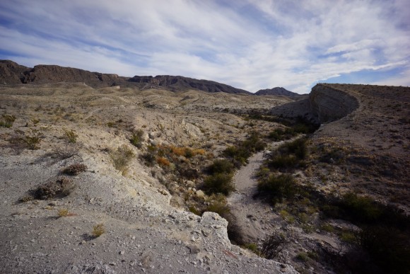
Back on the trail now, it was easy to follow and well marked with cairns. The trail continues to climb in elevation steadily for a while. Finally, I get to the top of the ridge and the rest of the ridgeline is coming into view.
After a couple of ups and downs I’m at the point where the Cross Canyon Trail wants to take me down off the Mariscal Mountains. From here, I’m on my own picking a route up this steep hillside to continue the walk along the spine of this range.
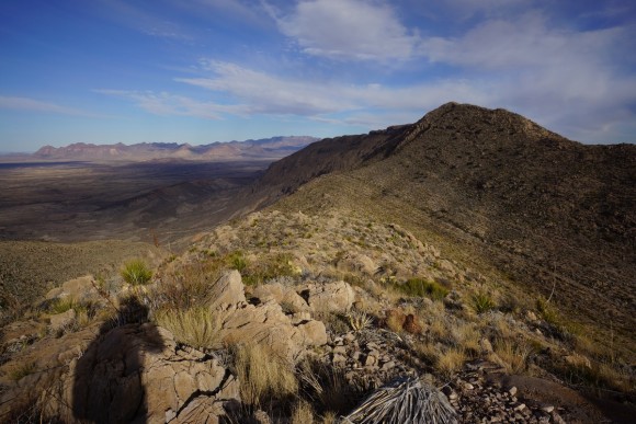
You can see the Cross Canyon trail running down the mountain side on the right. That’s where I’ll climb up that mountain to continue my route along the spine
After the initial climb up from the Cross Canyon trail, I was more or less on the spine now. The first section, before reaching the high point of Mariscal Mountain (3932′), was probably the most technical, but also probably the coolest part of the hike today. There’s a few areas that involved a little bit of scrambling, but nothing difficult at all and nothing that risky besides one or two steps along a knife edge section. There were a lot of false summits though on the way up to Mariscal Mountain, since it’s barely higher than the other points along this area of the ridge line. There is a USGS marker up here marking the summit. Fun fact… Mariscal Mountain is the southernmost peak in the Rockies.
Up on the spine of the Mariscal Mountains, the rocks were often extremely sharp. I did not want to fall on these rocks for fear of getting sliced up. On the flipside, they were great for gripping with my shoes. There were also a lot of interesting rocks along the way up here. Often times the ground just sparkled like crazy, and there’s piles of white/clearish crystals. Some had a tint of blue or green. Ah if I could only remember more from Geology class, I could put a name on them.
North of the Mariscal Mountain “summit”, it’s fairly easy going for a while while the elevation remains fairly flat, yet sloping downhill now. Around this time I got my first and only cactus thorn in the foot during my entire weeklong hike. I was wearing my Merrill Moab Ventilators for footwear, and had even considered wearing my Inov8 Roclite 315s. In the end, I chose the Moab Ventilators due to the extra beefiness of the shoe and figured that would be preferable in this rocky and stabby terrain. So far they have been pretty good for this hike. I removed my shoe to pull out the thorn and kept going.

Probably about 2/3 of the way through the Mariscal Mountains. The trail drops off this high ridge and transitions into a series of rolling hills and drainages
After a while the terrain started to become less of a knife ridge and there were more side canyons running down the sides of the mountain. This makes for slightly harder route finding. Occasionally I’d find myself following the wrong gully and needed to either backtrack or just head up the nearest hill in order to maintain my bearing. I was also getting a little tired now as the direct sunlight was taking it’s toll. Not getting sunburnt, just a little tiring. There was no more than a few patches of shade all day today.
Right before reaching the first views of the Mariscal Mine, there was one good sized hill I needed to traverse. I ran out of water in my bladder around this time. I had another 2L left but this needed to last me this evening and tomorrow morning until I reached the spring near Elephant Tusk. So basically, no more water until I reach camp tonight, unless I really need it.
After getting to the top of this hill, I dropped my pack in the shade. Finally, shade! After a few minutes I was on my way again. However, right after I started moving I slipped and fell on the loose rock, and cut my finger. Not terribly bad but I dropped my pack again to clean and bandage the wound.
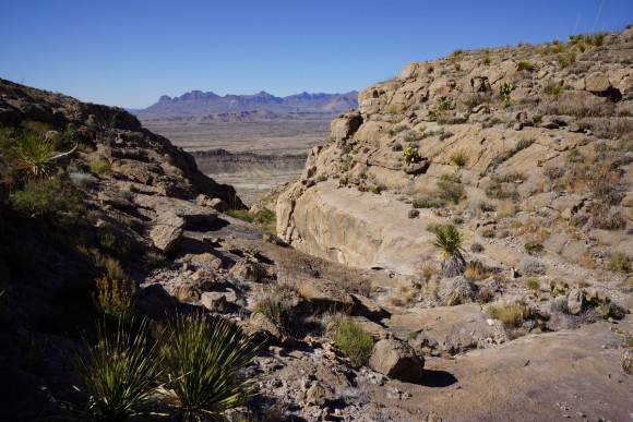
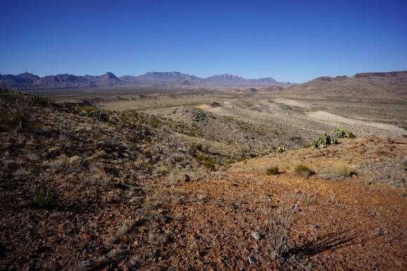
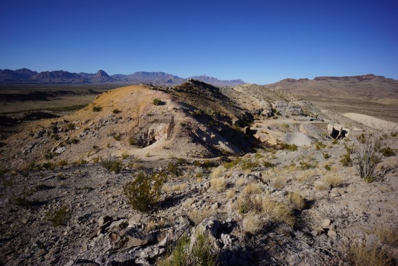
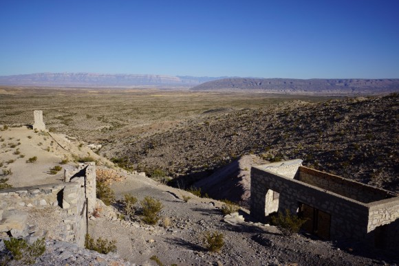
Now I made my way through the Mariscal Mine area. All of the mine shafts have been closed off with grates to prevent entry. There were several buildings still standing, but I was running short on time and so I only snapped a few quick pictures and kept moving. Looks like an interesting area to explore more thoroughly.
The old road up to the mine petered out as I walked my last few steps on the Mariscal Mountain Range. Now on the desert floor again, I followed a road (I believe it was the River Road) for a very short ways while it was heading west. Once it turned south, I jumped off and headed north through the Fresno Creek wash. Once I get through the gap in the mountains ahead, I can start heading northwest towards Elephant Tusk.
This next section was a huge network of washes. At first the going was easy. The terrain was open and vegetation was fairly sparse. Eventually, moving anywhere outside of the washes became a chore due to the thorn bushes, and yet, the washes themselves where lined with thick shrubbery as well. At one point I had a thorn bush blocking my path. I used my trekking pole to break one of the branches, and continued to whack at a second branch based on my initial success. However, this proved to be a mistake as my trekking pole simply snapped in half. I’m using Gossamer Gear LT4 poles, which are super light but this is now the second time I have broken one. Clearly, I was using the poles for another purpose they weren’t meant for, but I wasn’t hitting those branches that hard. Ah well, I can buy another replacement section for this pole but really, I am beginning to question the ability to use these poles on longer hikes due to their frailty.
Eventually I made my way through the wash and I could see a white truck parked in the distance. That’s the trailhead for Elephant Tusk I was looking for alongside Black Gap Road. At first I didn’t see anyone alongside the truck and figured they were out in the desert camping somewhere. But as I got closer, 3 guys stood up from behind the truck, startled by my presence. By this time it was 5:15, and they were probably not expecting to see anyone out here. “Hi, don’t mind me, random guy popping out of the desert” I said. They laughed, and we chatted for a few minutes. One guy seemed pretty knowledgeable about the park as he recognized just about everything along my route, and had possibly hiked through the same canyon west of Goat Mountain as I had on my first day. Before leaving, I asked if they had a liter of water they could spare, which they gladly supplied. That really helped and lifted my spirits a bit.
After leaving the ET trailhead behind, it was time to cover some distance before dark. There was a a defined trail to follow here, although faint in many spots. The landscape was pretty flat with small rocks and scrub, so walking was the easiest it had been all day. I covered another 1.5 miles before calling it quits for the day. I had about 15 minutes of daylight left to work with, and quickly got my tent up and situated around camp.
I was pretty whooped by the end of today. Not much to do out here without a fire or anyone to talk to, so I was off to bed around 8:30.
Day 5 – Friday January 15th, 2016
Miles Hiked – 14.99
Route – Campsite southeast of Elephant Tusk to Juniper Canyon
I slept pretty good last night, which was a relief after the subpar sleep the night before. I probably heard more coyotes throughout the night here than anywhere else on this hike. Some were pretty far and others were closer, but none really close. It was a little warmer last night, around 45° when I woke up this morning at 7.
Today’s plan is to hike to the spring just east of Elephant Tusk and get water, then continue north on Elephant Tusk trail towards the Dodson trail. I will take the canyon northwest of Tortuga Mountain to the Dodson trail from the Elephant Tusk trail to shave off a little distance, and check out Adler Spring. Take the Dodson trail east to Juniper Canyon trail and head north, where I’ll camp in Juniper Canyon for the night.
After leaving camp, I found the trail to the base of Elephant Tusk to be pretty good. Easy to walk on, easy to follow.
As I near Elephant Tusk, the trail stays high up above the wash below. The spring isn’t that far away now but the trail is still high, and left me wondering if/when it will ever dip down into the canyon to meet this spring. The trail goes up and over a hill or two before crossing a side canyon that pours into the main wash below. I thought this side canyon was the trail now, since I saw no cairns or obvious route on the other side. So, I followed it down to the wash.
There was some really dense shrubbery through here and of course, it was pretty thorny. Once down in the main wash I was pretty sure this was not the correct route, but at the same time there was some water here and I knew the spring was in this area so it must be right. I kept walking upstream and saw some Cottonwood trees growing in the middle of the wash and knew this was Elephant Tusk spring.
Despite all the flourishing trees and greenery here, there were very little pools to actually filter from. In fact, the one I used was the only one I saw that was barely deep enough to dip a bottle into. It had a rocky bottom and so you couldn’t trench it deeper either. Downstream there were some larger pools but they looked more stagnant, and so I opted to draw my water from a spot nearest to the source. I chugged a liter and filtered 6 more. As I filtered my water, a small plane flew overhead. It was pretty low and seemed to come closer when it saw me, but didn’t make a second pass. I wonder if they were searching for a lost hiker or if it was an aerial tour or something. I tried to filter my water as quickly as possible as it was really cold in the shade.
Once I was ready to go, I headed north in the wash and just past the spring I saw some cairns heading uphill. I figured that must be the way out of here, and followed this trail. It went up a short ways before heading back south again, where I came from. I thought, maybe it’s taking me around an obstacle, let’s just see where it goes. Well, it went back to that side canyon I took down to the main wash. I had simply missed the cairn in the side canyon that marked the trail through here, and around all that terrible vegetation below in the wash. It’s all making sense now.
Now I’m back on the Elephant Tusk trail again, which is in the wash now. The trail winds through several canyons as it makes it way north. Sometimes the trail has you down in the wash, and other times it’s going up over a small hill to avoid obstacles. There are some cairns through here, but they aren’t huge and obvious sometimes, and so you really need to keep an eye out for them. I missed them a few times and had to go through some thick vegetation or climb up/down something to keep going forward.
The most interesting feature of the Elephant Tusk trail for me was the some of the red rock in the washes and canyons. While not huge or anything, they were really colorful and just plain cool looking.
Father north along the ET trail, the route has you out of the wash now and going up and over some larger hills. Here, I saw a couple of deer, my first on the hike. When I got up to the top of this first hill it was hard to find the trail again. It was on and off for a while, and rather annoying. I was expecting this trail to be pretty good since it was so well marked on the maps.
When it was time to leave the Elephant Tusk “trail” for the canyon with Adler spring, I wasn’t sure this was going to save me any time. It looked like it too had a lot of thick, thorny plants and I wondered if this was the right choice. I made the decision to go for it, trying to stick to my original plan where possible.
At first, this wash was not hard to walk though. After a little ways I began to see water. Lots of water, more than any other location I saw in the desert on this hike. I followed the water for a ways before reaching the spring itself.
Upstream of the spring, the vegetation became really thick and once again, a nightmare to walk through. Fortunately for me I was pretty close to the Dodson now, and only had to go another half mile or so. I fought with the thorn bushes for a while before just going up over some small hills to get me out of the wash.
Finally, I reached the Dodson at a rather nondescript junction around 3:15. This basically means that the rest of my hike will be on a legitimate trail system and will make covering ground that much easier.
This section of the Dodson trail, heading east towards Juniper Canyon, goes up and down a bunch of hills and doesn’t offer much for a view at first. No matter, I need to get some miles in today and this highway of a trail I had here was working great. After making it past a couple of hills, the peaks of Hayes Ridge and Crown Mountain begin to show themselves, marking the entrance to Juniper Canyon. That’s still a ways off in the distance though. I continued to haul ass.
When I reached the end of the Dodson trail, where the Juniper Canyon trail starts and Juniper Road ends, there was one guy there camping. He was facing the other way, sitting in a chair reading a book. I said a quick “Hi” and kept going. A few minutes later, I saw another lone hiker coming down Juniper Canyon and out towards the Dodson trail. We exchanged a few words and moved on. Like me, he was probably more concerned with getting to and setting up camp tonight. Oh, and there’s more bear crap on the ground now, and it’s in much bigger piles. Bigger bears in the Chisos area due to the increased food supply.
I made it to camp tonight around 5:15. Although there were a few sites right along the trail, I chose to go up over a small embankment alongside the trail and back a ways. The vegetation was pretty thick here but I found a spot that someone else had clearly used in the past, as there were some grasses matted down just big enough for a tent. Nice view too!
While setting up my tent I saw a deer about 100yds away, and scared him off pretty quickly. The sunset was nice tonight with a lot of reds in the sky.
The wind started picking up a little after dark but I didn’t think too much of it. After midnight though, it could no longer be ignored. The tent shook wildly with every gust. Not ridiculous speeds, but probably 30+ mph. The sound of the wind howling as it approached was really loud and intimidating. For a couple of hours, the winds were much heavier and consistent. After about 5am, they died down a little and I was able to get some rest.
Day 6 – Saturday January 16th, 2016
Miles Hiked – 8+
Route – Juniper Canyon to South Sim, campsite SE2
I was really glad to get out of the tent this morning after a long night. It was still really windy this morning and very cold. The wind added some difficulty to packing up the tent and gear this morning.
My plan for today is to continue the hike up Juniper Canyon, over the pass and down into Boot Canyon. Here I will find and filter water, and then continue on up to the South Rim via the Northeast Rim trail. From here I will make my way around the rim to my reserved campsite at SE2. Hopefully, Ryan will make it out here today as we agreed to do back on the morning of day 2. However, the one thing we didn’t discuss is what the plan is if he does not show up at SE2. Tomorrow, would I hike back into the Chisos Basin as we planned to do if we did meet up today, or do I finish the hike as planned at the Homer Wilson Ranch/Sotol Overlook? Hopefully, he shows up and we don’t even have to cross that bridge.
It was really nice to start moving this morning. Mainly because I wanted to get out of the wind, and that I was cold from said wind. There were a few more campsites, and some pretty nice ones, along the way up in Juniper Canyon. Here, the trail is well groomed and really nice compared to what I had to work with the last few days. Down in the wash to the west, there’s tons of green trees now, and the trail is lined with tall grasses. Along with cacti, those never go away. But the point is, the landscape was changing.
I made good time going up Juniper Canyon. I stopped for one break along he way up for some food and water, although I was running a little short now. Just over a liter left, but that’ll get me to the pools in Boot Canyon no problem. After passing Upper Juniper Spring, I entered the switchbacks. Not as hard as I was expecting today to be but still quite a climb. I made it to the top of the little “pass” down into Boot Canyon at around 11:15, and was disappointed with the lack of view. Oh well, many awesome views to be had from the South Rim later today and tomorrow.
Heading down into Boot Canyon was an abrupt change from windy, exposed side of the mountains in Juniper Canyon. Here, the trees were heartier and the grasses flourished. And yes, tons of cacti. It certainly had a different feel to it, and it was nice.
It’s a half mile hike down to the bottom of Boot Canyon where the hunt for water can begin. At the bottom, there’s a pool of some green water with a bunch of leaves in it. I’ll pass for now. I looked downstream a bit and didn’t see much, so I headed upstream. Here I saw my first person of the day, and person number 6 for the entire hike. But, that number was about to increase dramatically as my stay on the South Rim gets underway.
There was some pools of so-so looking water lower in the canyon, and some better looking water farther up. The problem is, the best looking water was frozen. I keep searching upstream and found some pools that got a little more sunlight then the others, and was able to get my water. I filtered 6L to last the remainder of the hike. Oh, and there was this rock with some moss growing in the shape of a heart. I can’t imagine that grew naturally like that, but maybe?
At this point I had traversed far enough up Boot Canyon where I should just continue this way up to the South Rim versus heading back down Boot Canyon and catching the Northeast Rim trail. Once you near the top of Boot Canyon and the South Rim appears, it’s an awesome feeling. For me, being up here last time on my Outer Mountain Loop hike in 2012, was the highlight of the trip. I walked up to the edge of the rim, and slowly the landscape below comes into view. So amazing.
As much as I want to mess around by the rim’s edge, I hurried to camp. SE2 was empty and Ryan was not here. It’s 1pm now, so he’s still got some time. He ended up arriving at 1:30 and so the timing was pretty good. Of course, we had a lot to discuss as we got caught up with the happenings of each other’s week.
On the day we split up, Ryan ended up making it back to the road near Mule Ears Overlook without any foot issues, although he said the “trail” up and over Mule Ears to the spring was basically non existent. He thought he saw a faint trail but it was not worn enough to actually help him. He did not have the luxury of a GPS as I did, but I gave him the National Geographic Big Bend topo map so he had something, as well as the 24k topo map I printed that shows the Mule Ears and spring area from our first day. Once back at the road he hitched a ride back to our car at the Sotol Overlook.
Ryan camped at Cottonwood for a night or two while he explored the west side of the park. He visited Santa Elena Canyon, Tuff Canyon, Study Butte, and other areas. After this he moved over to the Chisos Basin campground where he explored the popular spots like The Window and the Lost Mine Trail. His feet were feeling better and so he was also able to climb Emory Peak one day as well.
After catching up a bit, we gathered our photography equipment and headed down to the edge of the rim to enjoy the rest of the afternoon. Having the time to simply mosey around the rim’s edge, climbing and exploring while taking pictures, was a real treat. The short days in the winter mean almost no time for anything else other than hiking unless you are willing to keep your miles down, which I typically have a hard time doing. So the fact that I had a couple of hours to kill up here in full day light and with the best view in the park meant I couldn’t be happier.
The downside to being up here on the rim is all the people. We passed a boy scout troop of 30+ people, all in one group. That’s crazy to me that the park allows that. Good for those kids for getting out here but they had several adults with them and so I feel like they should be in groups no larger than 8. I’ve been other places where in terms of camping, group sizes were limited to the 8-10 range. Passing a group of 30+ kids makes me feel like I’m part of a school field trip and not a hike in the “wilderness”. I hope you are reading this, NPS. Besides the boy scout troop, there were tons and tons of people up here, but they were in normal groups of 1-3.
Not far from our campsite at SE2, we found a nice ledge near the edge of the rim to sit on and relax. We continued to talk about our experiences of the last few days as we photographed the vast landscape below. The rim drops off 200oft at the minimum compared to the high points below, and 3000ft relative to the desert floor. There’s nothing obstructing your view here and so the effect is quite dramatic.
After getting all the pictures possible from this spot, we moved east along the rim’s edge towards Juniper Canyon. There are many points along the edge of the rim that we stopped at for pictures. There were many rocky outcrops that were fun to climb along for photo ops as well. Another interesting feature of this area is all the bright green and orange lichen on the rocks.
We kept making our way east down the rim until we realized the sun is going to start dropping pretty quickly. We headed back to the SE2 general area. There were a couple of mule deer on the trail now and they did not seem to care at all that we were only feet away, talking softly and taking pictures of them. They all appeared to be bucks, and the largest was on the tail in front of us. He quickly left, probably to start flanking us, we laughed. The others continued to eat their grasses and roots , occasionally looking up at us as they did so. After getting a few pictures we moved on and let them be. However, around the corner was that boy scout troop again, and surely the deer will be scared away by the sound of all those people.
We watched a nice sunset from the rim’s edge and reflected upon the events of the past week. Our last night in Big Bend was finally upon us and thoughts of a hot meal, shower and real bed were starting to sound really good. After the last bit of sunlight faded away for the evening we headed back to camp.
We returned to the edge of the rim later in the evening to eat, away from camp. For my last dinner of the trip, I had a tortilla with pre-cooked bacon and shredded cheddar cheese. That was delicious, and I wished I had another one. But when can one ever get enough bacon? We stayed here watching the stars for a while before the rocks below zapped away our body heat, and it was time to return back to camp for the night.
Day 7 – Sunday January 17th, 2106
Miles Hiked – 7+
Route – SE2 to Chisos Basin Lodge
Last night the wind was howling like crazy, just as it did the night before. I believe it was hitting the south face of the South Rim and getting pushed up over us. Because of that, the wind never actually hit my tent, but damn was it loud as it whizzed overhead. I was relieved to not have to face those winds again tonight. A guy I passed yesterday said he camped at SE3 the night before and the wind blew his rain fly off his tent a couple of times. Been there, don’t want to do that again. Also, it was interesting to note that we did not hear any animals or have any encounters at all last night. This is where I was expecting to have animal encounters, not in the desert below as I had all week.
The plan for today is was originally to hike up Emory Peak and then back down into the basin, but since Ryan had already climbed it a few days ago, and I had in 2012, for time purposed we decided to skip that. Therefore today’s itinerary is to hike the Northeast Rim trail down to Boot Canyon, follow that up to the base of Emory Peak where we’ll take the Pinnacles trail down to the Chisos Basin. This is where Ryan left the rental car yesterday before heading up to the South Rim to meet me.
After getting out of the tent, we headed down to the same spot along the rim from last night in order to catch the sunrise. I set up my GoPro on my Flow-Mow panning timer to get some time lapse shots while I did my stills from another location.
It was another cold morning as we hit the trail at 9:20. Our motivating factors today were numerous, and we had no problem getting going after leaving camp. We worked our way east along the rim until we reached SE3, the campsite I stayed at in 2012. The campsite itself looks more exposed to the wind, but I think this site offers the best view from SE1 eastwards. On this hike I didn’t venture west of SE1, into the SW sites, so I can’t recall the view for those sites for comparison. Just as we were enjoying the view from the edge of the rim near SE3, the huge group of boy scouts were up and at ’em, and invaded our spot. That prompted us to keep moving and get some space in between us and them.
The trail continues to follow the edge of the rim as it curves northward. Here, there’s a few nice overlooks of Juniper Canyon below. After this though, the trail veers away from the rim’s edge and becomes less interesting as it approaches Boot Canyon.
After reaching Boot Canyon, we headed north along the Boot Canyon trail towards the Pinnacles trail. We saw a lot of people here in the canyon passing through, and many looked like day hikers. The Boot in Boot Canyon was pretty distinct now as we could see it poking up from the mountainside in the distance.
Now at the base of Emory Peak, I climbed up some boulders to get a few pictures of the Chisos Basin below. I remember climbing these same rocks in 2012 when I camped here at the Toll Mountain campsite. Great views, but very windy up here at the moment.
Next we headed down the Pinnacles trail. We passed probably close to 100 people going up this trail on our way down, many of them were part of another over-sized boy scout troop of 30-40 people. Again, is that necessary? Why would anyone want to travel in a group that large anyways? It must take all day just to cover 5 miles with a group of that size. As it turns out, this page on the NPS site states that a group of backpackers cannot exceed 15 people. Well, someone dropped the ball there, or these boy scouts are just ignoring those rules. Not cool.
The Pinnacles trail down to the basin starts off with a lot of switchbacks. The trail itself is well groomed and easy to hike. Many of the best views are obstructed by trees but there are a couple spots with some great vistas.
After passing the steep section with switchbacks, the trail levels out some and you find yourself in the grasslands of the basin. Only a couple of miles now to the end. After passing the last few campsites, we began to see signs that the trail was coming to an end, such as the water tank for the basin. Our knees were aching a bit from the long descent as we finally set foot on pavement in the Chisos Basin Lodge parking lot somewhere after noon.
We ordered carry out from the Lodge while we changed clothes and cleaned ourselves up. For me, getting out of my hiking clothes and into my regular, clean clothes and washing up in the bathroom of the lodge felt amazing. However, I forgot to bring a pair of flip flops and so I had to put on my regular tennis shoes now. After a weeklong hike, my feet were swollen and did not fit very well in my regular shoes. But, no blisters!
After getting our food from the Lodge we got in the car and headed back to Midland. I can not emphasize enough how awesome it is to have a normal, comfortable seat to sit in. This is one of those little pleasures you take for granted after a hike of this length.
On our way through the border patrol checkpoint south of Marathon, they asked us to pull over and get out of the car. They said the dog alerted to our car. We got out of the car and almost immediately, without even checking inside, they said ok you guys are good to go, have a good day. But, I thought the dog alerted to the car? Probably them doing their typical “false alerts”. Ugh, whatever.
Back in Marathon, we saw about 20 border patrol vehicles. Actually, I don’t think I saw one vehicle driving down the road in Marathon that wasn’t border patrol. It’s pretty clear what this town’s economy is based off of. We fueled up and headed north towards Ft Stockton, where we stopped at Dairy Queen for a Blizzard. Back in Midland, we checked in at our hotel and got some food later at the Tilted Kilt next door. Back at the hotel, we made use of the hot tub and relaxed for the rest of the evening. Finally, well deserved rest and comfort. Tomorrow morning, we fly back home.
Final Thoughts
Another successful hike in the books. I was worried about my ankle on this trip since I had sprained it(moderately) 3 months ago, and it still felt a little funny. Lots of clicking and popping in the ankle before the hike but everything was fine, no problems at all this trip.
This is one of the trips that taught me a little lesson, although I’m sure I will have to be reminded of it often in the future. That lesson is that no matter what the terrain looks like from the satellite, and no matter what the topo maps look like, hiking off trail is never as easy as I think it’s going to be. I was not expecting the washes to be lined so heavily with thorn bushes, which proved to be more of an obstacle than cacti for the most part. I only got hit by a couple of cacti the whole trip, but avoiding those thorn bushes is not possible.
The animal life here was much more active than I remember from my hike last time. Having that mountain lion so close at night, and actually coming into camp, was a real shock. I had never heard of a mountain lion attacking anyone while in a tent, and so I figured we were more or less safe. But still! When I returned home, I google searched “mountain lion attacked man in tent” and did find a story about a guy who was attacked through his tent in the middle of the night by a lion in California in 2012. Apparently though, this was unheard of and in fact possibly the first recorded instance of such an attack. I’m glad we didn’t become the second. Also, the amount of coyotes here was much more than I was expecting.
I really wish I would have chosen the Fisk Canyon route instead of my route over Jack’s Pass for my first 2 days. That will be a route for next time. I chose the route over Jack’s Pass because of the high ground which i am typically drawn to, but hiking through some of the canyons was just as interesting.
The geology of this place is amazing. The variety in land formations, rock types and environments I passed through were pretty incredible. I really need to brush up on my rocks and minerals again, as it would have been really cool to be able to identify more of what I saw here.
The hike along the Mariscal Mountain range was cool, but it would have been much more enjoyable with another person I think. The topo map made some of my route look harder than it actually was. The steepest part was the climb up from the junction with the Cross Canyon trail. After that only a few knife edge sections were technical.
I was expecting the Elephant Tusk area to have a better trail than it did, more like the Dodson. The trail was faint where it was not in the wash, going up over hills, and the cairns were small and easy to miss. Give yourself a little more time in here. Also, I found Adler spring near the Dodson to have much more water than the spring east of Elephant Tusk.
I was really surprised by how few people I saw outside of the Chisos area. Having covered over 50 miles by the end of day 4 when I saw my first humans, that would be the longest stretch of both time and miles that I have gone without seeing anyone while backpacking. Day 5 I saw 2 people and didn’t see another person until I reached Boot Canyon midday of day 6. So, 5 people in 5.5 days, and all of those 5 within the last 36 hours… not bad!
Of course, I was really bummed that Ryan couldn’t join me for the entire hike. I have done several solo hikes of this length in the past and would not hesitate to do so again, but having someone to share the experience with is preferable. It’s nice to have someone to talk to and laugh with along the way, and to get a second opinion for interpreting what I see along the way. I’m glad Ryan’s feet healed up and he was able to not only enjoy his solo adventures throughout the week but also that he was able to join me on the South Rim for our last night.
I’ll be going back to Big Bend, along with the Superstition Wilderness in Arizona, for years to come in the winter. I just need a few more “go-to” hiking destinations to round out my selection of warm weather winter hikes.
As always, questions and comments are welcome!
If you found my trip report useful, please don’t hesitate to leave a comment! Alternatively, if you feel you have any information you’d like to share with others regarding this hike, please feel free to leave that below in a comment as well.
[tcb_comment_count]
Superstition Wilderness, AZ – January 2014 (Backpacking Trip Report)
Superstition Wilderness 7 Day Hike Overview
All Photos From This Hike | HD Video
- Location – Superstition Wilderness, AZ
- Park Administarion – Tonto National Forest
- Fees & Permits – None
- Trail Name – Custom route, various trails
- Trail Type – Semi-loop
- Length Of Time Hiked – 7 days, 6 nights
- Miles Hiked – 92
- Trail Difficulty – 8
- Solitude – 7.5
- Fires Allowed – Yes
For my annual winter hike, I thought I’d give the Superstition Wilderness in Arizona another try. My previous attempt here in March of 2013 was a failure due to sickness, and further hindered by weather and gear problems. This will be a solo hike as was my previous visit here.
[sgpx gpx=”/wp-content/uploads/gpx/supes 2014 7 day trek(completed hike).gpx”]

