
Oregon Desert Trail Thru Hike Guide & Tips

Overview
The Oregon Desert Trail (ODT) is a 750-mile route across eastern Oregon, connecting Bend (roughly) and Lake Owyhee. It’s a rugged and remote route, with about 1/3 of its miles as cross-country hiking. As of 2022, roughly 60 people have completed a thru-hike of the entire Oregon Desert Trail.


About My 2022 Oregon Desert Trail Thru Hike


I hiked the Oregon Desert Trail eastbound in the spring of 2022. I completed the 739-mile hike in 43 days, which include 7 zero days. My ODT hike began on May 12th at the Tumulus Trailhead and finished on June 23rd at Lake Owyhee.
Trail Journals & Photos
Before we get into the ODT Guide, you may want to take a moment to browse my detailed trail journals (with photos) of each section of the Oregon Desert Trail. Click below to learn more about each section of the ODT:


Official ODT Thru Hike Planning Resources
The Oregon Natural Desert Association, or ONDA, oversees the Oregon Desert Trail, and provides truly excellent set of planning resources to get you started on your hike, so start by having a look at their website. Here’s a list of links to the most important ODT planning resources on ONDA’s site:
- About the ODT
- Form to download official ODT maps & waypoints, and the ODT Guidebook
- ODT Town Guide
- ODT Water Chart & Data
- ODT Resupply Strategy
- All ODT Trail Resources
My ODT Resupply & Itinerary
ONDA breaks the Oregon Desert Trail down into 25 sections. Personally, when I plan my thru hikes, I break them down into sections that correspond to my resupply itinerary. On the ODT, I resupplied 9 times, making for a total of 10 sections. So, I looked at the ODT as 10 sections, not 25 sections as ONDA presents the route. I broke the route up like this:
| Section | To/From | Section Miles | Total Miles | Resupply Method | Notes |
| 1 | Bend to Christmas Valley | 100 | 100 | Sagewood Grocery | Moderate selection here, supplement with food from Chevron Market |
| 2 | Christmas Valley to Paisley | 54 | 154 | Paisley Mechantile | Small but good selection |
| 3 | Paisley to Lakeview | 51 | 205 | Safeway | Last big grocery store along ODT. Mail food boxes ahead from here! |
| 4 | Lakeview to Plush | 56 | 261 | Box to Hart Mountain Store | Store has limited food selection. Send a box! |
| 5 | Plush to Frenchglen | 107 | 368 | Box to Steens Mountain Resort | Send a food box! Resupply not possible here. |
| 6 | Frenchglen to Fields | 63 | 431 | Limited Grocery(snacks), Hot Meals | It’s only 1.5 days to Denio from here. I carried extra staple foods from FG, bought basic snack items here (nuts, jerky etc) and ate dinner/breakfast here |
| 7 | Fields to Denio | 28 | 459 | Box to Post Office | Resupply not possible here. Send a box. |
| 8 | Denio to McDermitt | 72 | 531 | Quinn River Grocery | Small market with a great selection. Full resupply. |
| 9 | McDermitt to Rome | 117 | 648 | Box to Rome Station | Resupply not possible here. Send a box to Rome Station |
| 10 | Rome to Lake Owyhee/End | 91 | 739 | You DONE! | Ontario, OR has all the food you need after you finish |
Technically, I didn’t resupply at Fields, but I spent the night and ate dinner/breakfast there. So you could say 8 resupply points, but I still stopped at 9 trail towns, making for 10 sections.
Difficulty
This route is best suited for hikers with at least one other thru hike under their belt. From a pure physical sense, the ODT is not overly difficult, as the elevation gain is not extreme. The challenge lies more with the terrain and weather conditions. 35% of the ODT is off-trail, so there’s a lot of deep sand, bushwhacking, pushing through sagebrush etc. This can be a land of extremes; it’s either really cold, or really hot. There’s very little shade or cover from the sun along much of the route. When I hiked in 2022, it was a very cold and wet spring. Hikers just a week before us faced even colder, harsher conditions. Still, 20-30 mile days are entirely possible along much of this route, but the miles aren’t always easy.
Seasonality
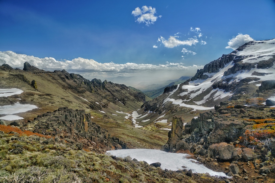
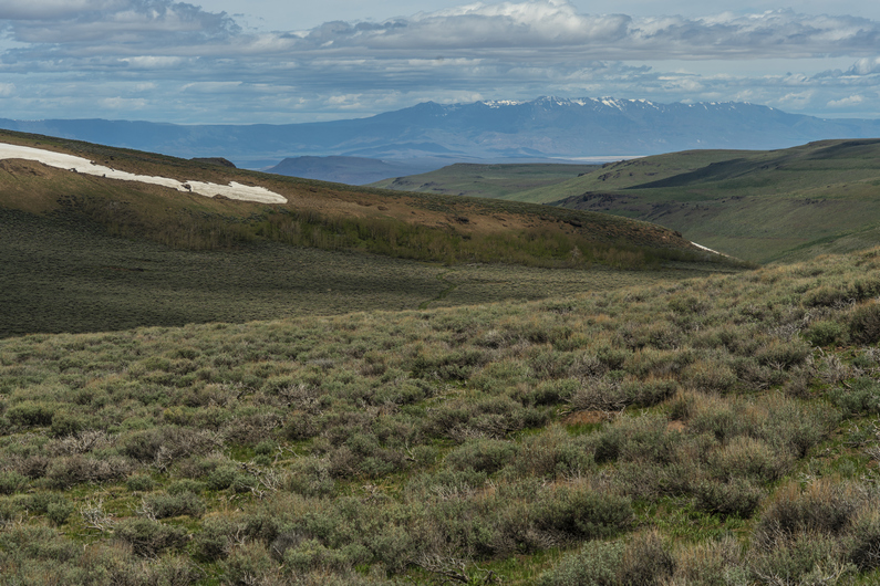
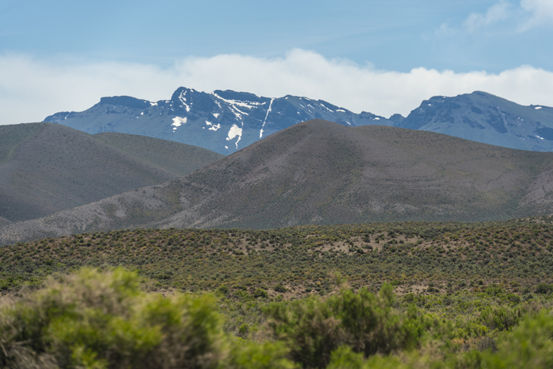
The ODT is best hiked in the spring or fall. Most hikers choose to hike in the spring, when water is more abundant from snow melt. The general consensus for the optimal start date is roughly mid May, for east bounders. However, it’s worth noting hikers who start too early typically have issues with snow in multiple places along the trail. Most notably, the Steens Mountains. This is one of the highlights of the ODT, so you may want to consider a later start date to avoid snow here. Early season hikers generally either bypass the Steens completely, or face high water crossings and lots of lingering snow. The Pueblo Mountains are another area hikers sometimes see snow, especially if too early. The mountains between Paisley, Lakeview and Plush can also hold a fair amount of snow, and present issues for the early season hiker.
The seasonality of the ODT is nice in that it can be hiked from mid May to mid June, when few other trails are hikeable yet. This makes the ODT a great warm up hike, before another summer thru.
Pace & Time on Trail

I completed the ODT in 43 days, with 7 zero days. Most hikers are completing this trail a few days faster than I hiked it. The days are reasonably long here in the spring, and 20+ mile days are still achievable almost everywhere along the route, despite all of the off-trail hiking. Strong hikers can complete the ODT in about a month.
Permits
Permits can be a real pain to manage in advance on a long trail, but the ODT hiker doesn’t have to worry much about this. In fact, the only place that you do need to consider a permit for backcountry camping is in Hart Mountain National Antelope Refuge, in between Plush and Frenchglen. This permit is free. If you stay in a designated campground along the way (also free), a permit is not needed. This means you can time your hike through the refuge so that you don’t need a permit. It’s pretty sparsely visited though, and chances are, a stealth camp would go undetected if it comes to that.
Link to Hart Mountain Permit: https://www.fws.gov/media/backcountry-camping-permit-hart-mountain-narpdf
Water Availability
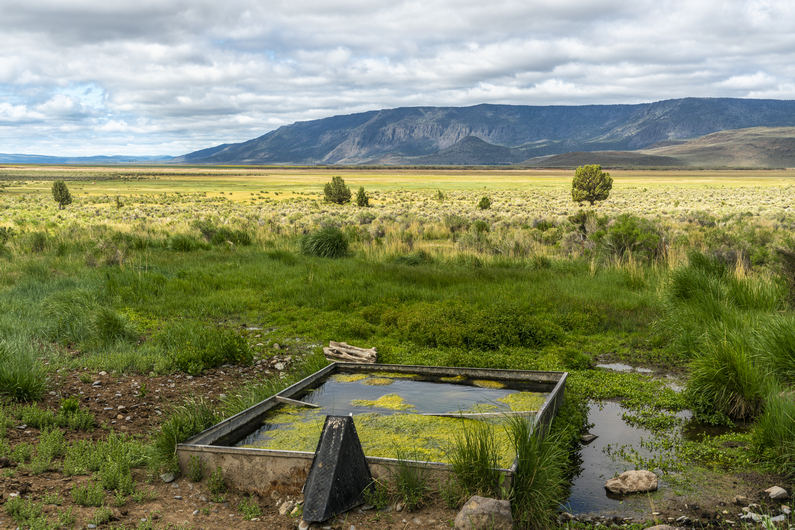
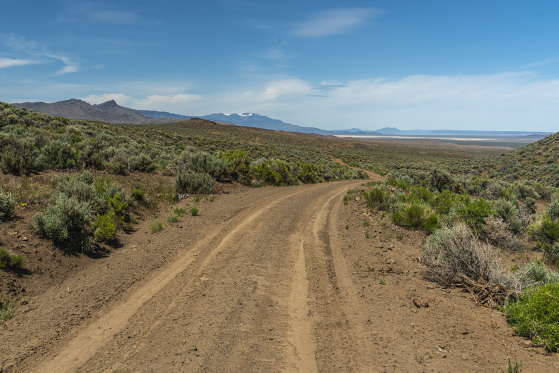
For the east bounder, the first 160 miles or so are very dry. There are caching locations along the way here to minimize the water carries, as well as a couple of water caching locations maintained and stocked by ONDA volunteers. This makes a huge difference in the viability of this part of the route. Hikers in the spring will have an easier time finding water than fall hikers, due to spring snow melt runoff and recharging the ground water in the springs.
The longest water carry you should encounter on the ODT, if utilizing the caches in the first 160 miles, is 40 miles. This is in between the Hart Mountain Visitor Center and Miller Place, in between Plush and Frenchglen.
Lastly, it gets pretty dry towards the eastern end of the route in the Owyhees. Nothing requiring a cache, just careful awareness of your next water source.
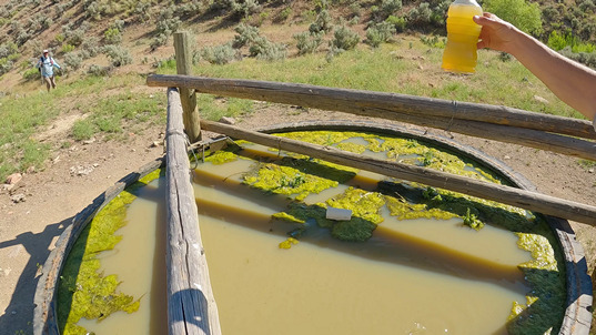
You may also want to bring a pre-filter for your water. I didn’t need it much, but there was one particularly muddy water source in the Owyhees that I wish I had one for… a water trough in Craig Gulch, about 20 miles from the eastern terminus at Lake Owyhee. I had lost mine a few weeks earlier. It took 2 hours to filter 5L water, backflushing every 1/4 liter!
Trail Towns & Resupply
I enjoyed the town stops along the ODT overall. There is a decent amount of awareness to the ODT in town, so many people know what you’re doing. All the towns were small on the ODT, many were too small for a resupply without sending a box. The mileage in between town stops was generally pretty manageable.

For eastbounders, after you pass Lakeview (3rd town stop), McDermitt is the only town you’ll encounter with a grocery store, and sending food boxes is necessary. Lakeview has about 3,000 people, and is the largest town along the ODT besides Bend, near the western terminus. Lakeview has a Safeway, and I used this town to shop for much of the rest of the trail. I assembled food boxes in my hotel room and sent them ahead from here. See my resupply chart above for where I sent food boxes.
Favorite Trail Town

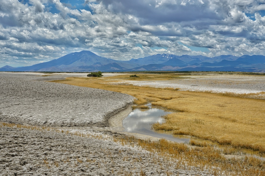
Paisley. After 130 miles of sagebrush desert, you reach Paisley, with the Chewaucan River flowing through it. Nestled at the base of mountains with pine forest, you can tell that the environment is changing here and it’s time to head into something greener. The Paisley Mercantile is small but stocked with a good selection of foods for the hiker. The Saloon has good food and a great old-west feel to it, perfect trail town atmosphere. We stayed at the Summer Lake Hot Springs a few miles out of town, because the hotel in town was booked. Cool little cabins at the edge of Summer Lake (huge dried lake bed), and soaked in the hot/warm springs. What more can you ask for in a trail town??
Least Favorite Trail Town

McDermitt. The only hotel open in town was the Rodeway Inn, and it was an awful experience. The owner there knows he’s the only one open and was engaging in some extremely unethical business practices (outright lying about room availability regarding reservations through priceline, price gouging, refusal to participate in Choice Hotels rewards program, etc). The only restaurant in town is inside the casino, and had pretty crappy food. The Mormon cricket swarm was in full swing here, and there were millions of these giant insects swarming everything all over town. Everywhere you step, it’s on these huge crickets. The smell of the dead ones was horrendous.
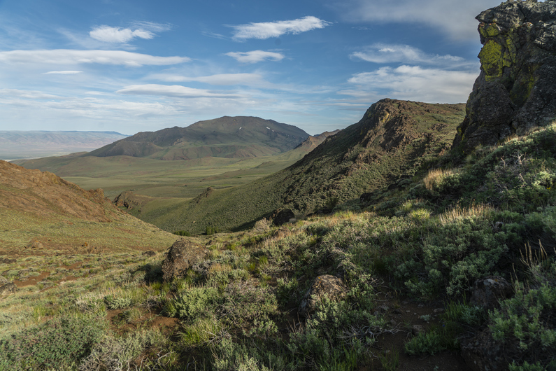
My Favorite Sections of the ODT
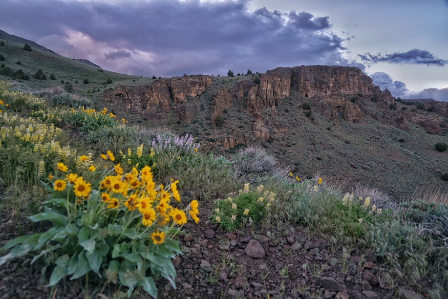
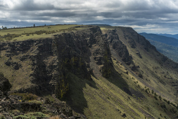
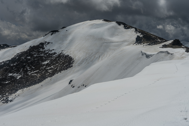
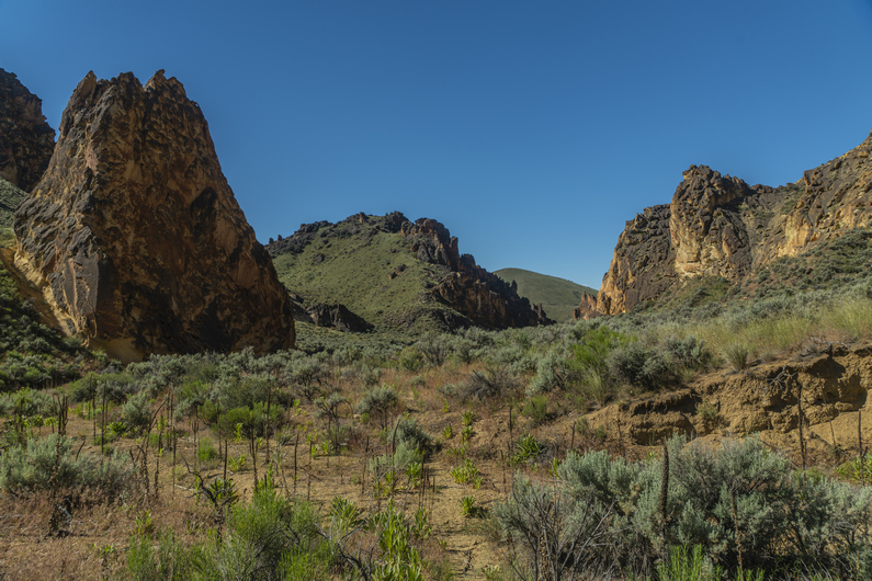
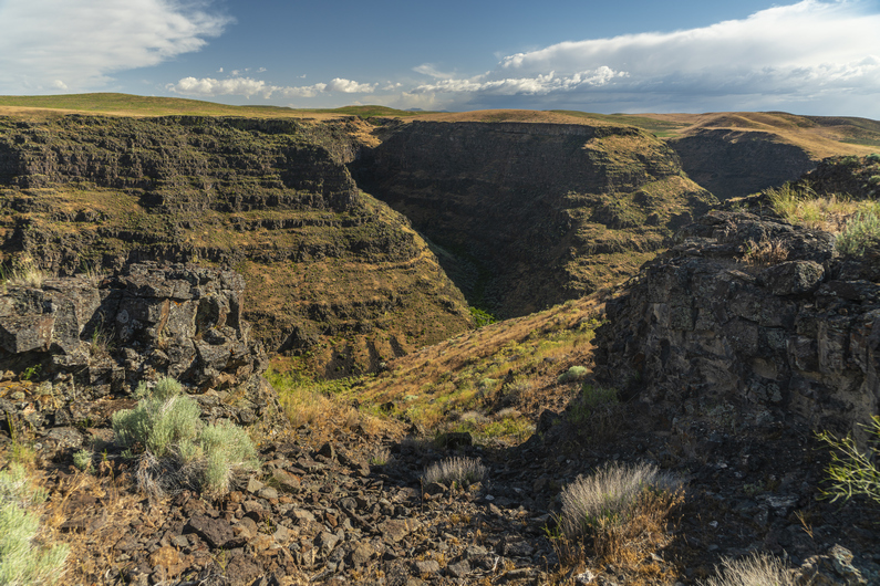
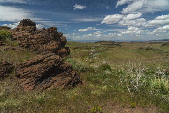
- Abert Rim
- Steens Mountains
- Pueblo Mountains
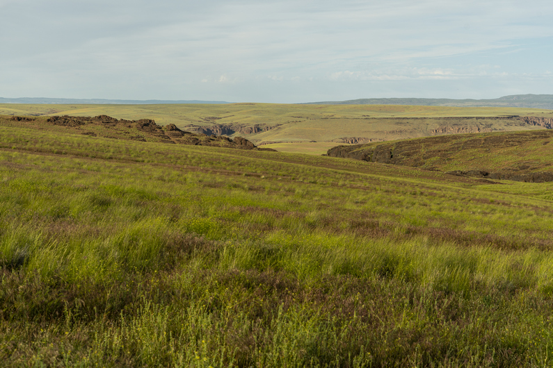
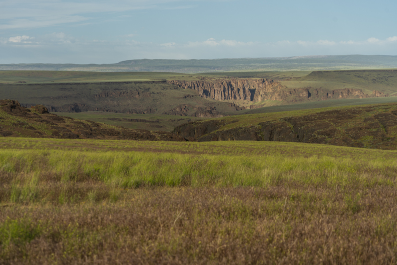
- Owyhee Canyon, Five Bar & Three Forks
- Leslie Gulch

My Least Favorite Sections of the ODT

- Large chunks of the first 130 miles
- Between Hart Mountain Visitor Center & Frenchglen
- Marsh by Borax Lake
What I love About the ODT

The ODT is vast, remote and wild! There are some truly spectacular landscapes along this route that are unforgettable. The planning resources that ONDA provides are excellent. I enjoyed most of the town stops. The mileage in-between most of the resupply stops is pretty manageable. I also love the fact that there are (almost) no permits needed to hike the ODT.
What I Didn’t Like About the ODT

The first 130 miles (eastbound) were a slow start to the hike. There is a lot of deep sand to walk through. Sometimes it felt like there were a lot of miles in between the scenic stuff (1st 130 miles, after Hart Mountain Visitor Center, and even large parts of the Owhyees). The route seems to want to hit every nasty cow pond in the area, and will take the hiker miles out of the way sometimes for a water source that nobody is going to drink.
What I Would Do Differently
- I would do the Xmas Valley Alternate instead of the official route into Christmas Valley
- I started May 12th. I would have started two weeks later if I had known just how cold and wet the spring would be
- I would have brought a 20 or 30 degree bag instead of a 40 degree bag (my normal go-to for desert hikes)
- I would not mail a box to McDermitt, resupply there was good at Quinn River Market
Route Suggestions For the ODT Hiker
The Oregon Desert Trail is meant to be a choose your own route type of adventure. In the spirit of that, I thought I’d share my opinions on route suggestions for future ODT hikers. These are mostly minor changes that I would suggest in the interest of optimizing the route, not necessarily scenic alternates. **As mentioned earlier in this guide, I broke the ODT into 10 sections that corresponded with my resupply itinerary, not the 25 sections presented by ONDA. This more closely represents the way most hikers are resupplying along the ODT**
Section 1: Tumulus TH to Xmas Valley

I suggest taking the Christmas Valley alternate into town instead of the official route. While the Lost Forest and Sand Dunes areas were interesting, there was a LOT of sandy, cross-country miles required to make that happen. There were many miles of rather boring “Sage Kansas” along the official route. Plus, you then need to hitch into Christmas Valley, which was a difficult hitch for me. There is little traffic along the highway.
Section 5: Plush to Frenchglen

After leaving Plush, you’ll notice the ODT route goes all the way around Hart Lake. This may have been a lake at one point, but it’s not right now. And I know what you’re thinking…. I’ll just cut across this dry lake bed, right? Well, you can do it, just make sure not to veer too far south. On my hike across the lake bed, I did start to encounter mud and pools of water as I approached the center of the lake bed. I was aiming for the peninsula that jets out into the lake bed. Don’t do that. Instead, aim for the east shore of Hart Lake, about 1.25 miles north of the peninsula. This way, you avoid the mud and water, and shave off some miles, along a cool trek across this lake bed.
Watch video footage of this alternate route crossing Hart Lake.
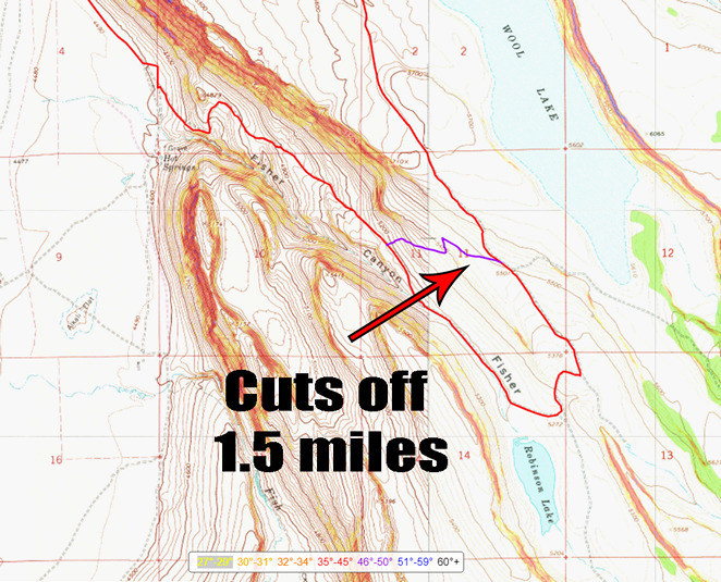
After climbing out of Warner Valley and heading up Fischer Canyon, you can take a very easy cutoff on the long switchback up this canyon that shaves off 1.5 miles. It begins with a very easy xc section, then joins a 4×4 road for the second half of the .75 mile alternate. It cuts off Robinson “Lake”, but since you got water at the homestead a few miles back at the good clear trough, you don’t need any, right?
Watch video footage of this Fischer Canyon cutoff/alternate route

About 16 miles before reaching Frenchglen, after passing through Sand Hollow, the ODT route has you hiking over to Walls Lake, where there are two large reservoirs that likely have water. If you don’t need water, OR if you want to take a shorter route that also has water (access), considering taking this alternate route that shaves off 3 miles. For water, drop down into the scenic-looking Waterhole Canyon. I could see water in the canyon, but didn’t go down to it. In retrospect, I wish I had hiked Waterhole Canyon, but I didn’t realize how scenic it was until I was hiking the top of the canyon, above it.
Watch video footage of this cutoff/alternate route above Waterhole Canyon
Section 6: Frenchglen to Fields

After hiking the across Alvord Lake (dry lake bed), the official ODT route goes through the Borax Hot Springs area. But as you near the area, the ground becomes very marshy. This is no normal marshy area wither, the mud is salty and stings the skin. I could not see a way to avoid getting very wet and muddy, following the official ODT route. This area is NOT worth it!! Do yourself a favor and try to find a dry route around this nightmare. It’s no place for a human to be.
Watch video footage of the marsh crossing by Borax Lake
Section 7: Fields to Denio
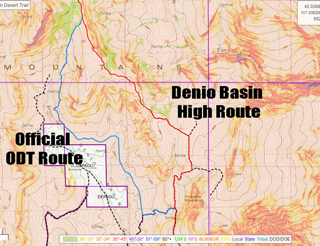
After climbing out of Van Horn Creek up to a ridgeline, the official ODT route drops down 1400ft into Denio Basin. That would be 1700ft, if you are going all the way down to Denio Creek for water. But you just filled up in Van Horn Creek a few miles back, right? Even if you DO need water, town is just a few hours away now. You’ll notice the route then promptly climbs up about 500ft again to Propener Meadows, or 800ft from Denio Creek. So then the question becomes, why not just stay up on this ridgeline? It takes you directly to Propener Meadows, without the needless descent into Denio Basin. It stays high up on the ridge, which is easy to hike, and offers scenic views. It’s also 1.2 miles shorter, with at least 500ft less elevation gain. Taking this high route about Denio Basin was a no-brainer for me.
Watch video footage of this ridgeline alternate route above Denio Basin
Section 9: McDermitt to Rome
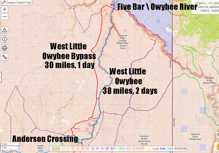
The official ODT route suggests to hike through Louse Canyon, along\through the West Fork Little Owyhee River, from Anderson Crossing to the Five Bar area, near the ford of the main fork Owyhee River. This route is about 38 miles of extremely challenging terrain… thick brush, wading through the river, etc. I intended to take this route, but after hiking in a few hundred yards, I turned around. The brush was impenetrable, forcing me into the creek immediately. Water levels were waist high in places, at the beginning/upper portions of the canyon. It didn’t make sense to commit to 38 miles of this, where it should only become bigger/deeper water downstream. Sure, there’s a couple of exit options, but they wouldn’t be easy. I hadn’t really heard of anyone who’s taken this route, it seems everyone takes the bypass route around West Little Owyhee and Louse Canyon. Now I can see why. I think you’d have the best shot of hiking the West Little Owyhee River through louse Canyon during the summer months when the water levels are at their lowest, since you’ll be spending a lot of time in the water. No way you’d wanna be here as an early season hiker, with higher water levels and colder temps. Either way, most hikers will probably choose the road walk bypass route that parallels Louse Canyon, to the west. This is about 30 miles from Anderson Crossing to the ford of the Owyhee River near Five Bar. The bypass is easy hiking on old 4×4 roads, through some real Sage Kansas country. Figure one day to hike from Anderson Crossing to Five Bar, or at least two if taking the West Little Owyhee route.
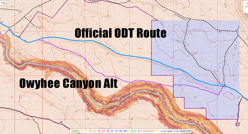
About 15 miles before you reach Rome, or about 5 miles west of Soldier Creek, the ODT route leaves a 4×4 road at benchmark 4458 and begins an xc segment at the base of some nondescript hills. Instead of doing this, climb up a mere 100ft to the top of said nondescript hills for a view of Owyhee Canyon. This give you about a mile of hiking along the rim, with big views, and a few more miles of hiking along the rim with a better vantage point than the official route. It’s .4 miles longer, practically no more effort, and offers a much better hiking experience.
Watch video footage of this alternate route along the rim of Owyhee Canyon
Section 10: Rome to Lake Owyhee
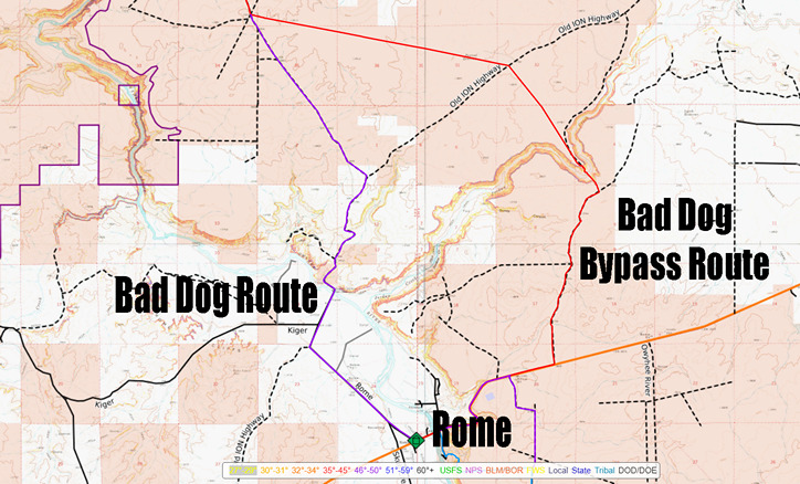
In the past, some ODT hikers have complained about aggressive dogs roaming around near the bridge over the Owyhee River at the confluence with Jordan Creek. There’s some private property here, that the road goes through, and the owners have dogs. ONDA has created an alternate route that avoids these dogs, but it involves some road walking along a busy paved highway, the need to ford Jordan Creek, and some steep climbs in and out of Jordan Canyon. I’ve heard from other ODT hikers that this “bad dog bypass route” was a pain in the ass, so we decided to roll the dice with the dogs and take the old official ODT route. We did see a few dogs, but none of them were aggressive. In fact, I don’t remember them barking at all. I would recommend taking this route over the bypass route, as long as there are no recent reports of “bad dog” encounters from other hikers.
Watch video footage hiking through the “bad dog” property

After Rookie Canyon Spring, the ODT route begins several miles of xc hiking. It’s not incredibly difficult at first, but it’s full of cheat grass and is a rather bland hike. Instead, have an equally bland hike for a few miles by hiking a 4×4 road that parallels the xc segment. Then when it begins to get scenic, as the route approaches Birch Creek again, the alt stays high above the creek for the final descent to Lake Owyhee. Other ODT hikers reported a heavy bushwhack in Birch Creek, through lots of poison ivy. Is this how you want to spend the last few miles on the ODT? This alternate is along a 4×4 road that provides a great view over Lake Owyhee as you walk the final few miles of your thru hike. Perfect for reflecting on your journey. This alternate adds about 3 miles, but you’ll make this time up with the much easier hiking along the 4×4 road, and no poison ivy!
Watch video footage of this Birch Creek bypass/alternate route
Overall Impressions of the Oregon Desert Trail

The Oregon Desert Trail offers the opportunity to hike some incredibly beautiful landscapes, in an extremely remote and wild region of the country. Solitude is not a problem here! While this route boasts some incredible scenery, it’s far from constant. There can be many miles of “Sage Kansas” in between. Still, the ODT is an excellent route choice for the semi-experienced thru hiker, who’s looking for an immersive experience in high desert country.
Oregon Desert Trail Videos
For the ultimate Oregon Desert Trail thru hike planning resource, watch my 35-episode vlog series documenting my 2022 spring eastbound hike of the ODT. This video series is focused on showing the landscapes of the Oregon Desert Trail, as well as the challenges and daily struggles of hiking this route. This 6.5 hour series is condensed from over 24 hours of footage, and is the result of 2 months of full-time editing work. If you want to immerse yourself in the Oregon Desert Trail experience, this is the way to do it!
Related Images:
Oregon Desert Trail Section 10: Rome to Lake Owyhee (2022 Thru Hike Journal)

Day 40: Pillars of Rome to Lambert Rocks
June 20th
After another big breakfast, we started hiking around 11am. This is typical for Donny and I, no hurry leaving town.
We begin walking a dirt road out of Rome. There’s a small plane flying overhead, about 200ft above us. He makes one pass perpendicular to the road, then another directly over the road. Then, a truck comes down the road from a nearby ranch. He tells us the plane is getting to land on the road, so we hop on the back of his truck bed while he drives us a couple hundred yards down the road to his ranch, so the plane can land. Never had that happen before, pretty cool!


The next section passes by a waypoint on our ODT route map marked “aggressive dogs”. The route we are walking is actually the alternate ODT route now, apparently ONDA rerouted this section just because of the dogs. The new route is longer and involves more cross-country, including a steep climb and a legit river Crossing. Just to avoid dogs? We’ll take our chances.
After crossing a bridge over the Owyhee River, we pass the bad dog house, and two black dogs run up to us. They don’t bark or growl, and barely seem interested in us. I’m instantly reminded of the movie Stand By Me, the scene with the junkyard dog “Chopper”. Chopper has a reputation for being a mean, killer dog, but in reality he nothing to be afraid of. Same here in this case.


We climb up a road to reach the plateau above the Owyhee River. Back to Sage-Kansas. Occasionally, we get a distant view of the snow-capped Steens Mountains to the east, but they look more nicer through my zoom lens than with the naked eye. It’s pretty boring overall, but the fact that we’re finishing this hike in a few days motivates us. Plus, we know there are some incredible landscapes ahead in the next few days hiking the Owyhee Canyonlands, but right now, we’re up on the high plateau that separates these many of these canyons and gulches.
At one water through, there are a bunch of cows that don’t want to leave and run away, like usual. There’s barely a trickle of water coming out of a pipe, and the cows are all competing for it. Donny wants some of this water, and uses a Gatorade bottle to collect it from the dripping pipe. The cows are 6ft away, watching intensely. Inching closer. It’s pretty comical to watch, I’ve never seen cows surround a human like this.
Next, Donny and I take different routes to get to the same place; Bogus Creek, our next water source. I take a route that has more miles below the rim in Owyhee Canyon, while Donny stays high on some roads.


First view of Owyhee Canyon, since last section, is impressive as always. Here, I enter an area called Lambert Rocks. The roads fade, becomes a faint trail, turns into xc and then becomes a road again. A fairly decent road, too. Strange.
We meet at Bogus Creek, which had some water. However, it’s not deep and is kinda crummy water. More like a bog. There are a lot of tannins in the water, staining it yellow. The color mostly filters out, but it still smells like pond scum.
We camp next to Bogus Creek. I take a spot in the middle of the road, because it’s flat and clear, and unlikely to see any traffic. Nobody comin’ down here.
ODT Day 40 Map

Day 41: Lambert Rocks to Willow Creek Canyon
June 21st


Donny and I broke camp at 8am. Now, in mountain standard time, 8 is the new 7. We cross Bogus Creek and hike about a half mile, and start looking for a route up to the top of the rim. There is a bit of a path to follow for the first 200 ft. After that, we’re on our own.


Back up on the rim, it’s Into the Sage Kansas once again. However, on the opposite side of Owyhee Canyon, the land is higher. There’s this really cool backdrop of cliffs that contrast against the flat plateau that we’re hiking on this side of Owyhee Canyon. I like it.


Soon enough, our backdrop of cliffs fades. Most of the day will be on dirt roads, and without much of a view. There are occasional views of a distant Owyhee Canyon, but usually, we aren’t that close to the edge.


Our map says it’s a 26-mile water carry, with a possible source halfway in between. Indeed, about halfway, we find a tanker truck full of water which drains into a kiddie pool. We scare off the cows, and fill up with fairly decent water.


We find more water along the way, both in reservoirs and old tires. I almost never drink from these cow ponds. But I do drink from old tires. Gotta have standards. There are some occasional good views over Owyhee Canyon now, late this afternoon. But canyon is still somewhat distant.


I jump ahead of Donny early evening, hellbent on reaching Willow Creek tonight. Donny isn’t sure he’ll make it that far, so we prepare to meet up tomorrow in that case.
I cross a huge flat plateau, taking a series of dirt roads instead of the cross-country hiking the ODT suggests. Near glover Reservoir, I realize why ONDA has us going xc; to avoid the private ranch property I am currently hiking. However, there are no homesteads or people to be found here, just cows. No harm, no foul.
After the ranch property, I reach grasshopper spring. I am pleased to see cold, clear water running from a pipe. This is the best water I have seen in a while. I stopped to filter a couple of liters, and clean myself up while I’m waiting for my gravity filter to work.


Next, I find myself at the top of Willow Creek Canyon. I can tell it’s going to be a beautiful hike. The scenery improves as I drop down In elevation. Wow!!


Now down in the canyon, I’m surprised to see an actual flowing creek here. It’s 8:30, so I start looking for a campsite. I find the perfect backdrop, some hills with really cool rock formations running along the top and the slopes. Yeah, this is it. In fact, it’s the most scenic campsite yet for me along the Oregon Desert Trail. Donny arrives about an hour later.
ODT Day 41 Map

Day 42: Leslie Gulch, Juniper Gulch & Three Fingers Gulch
June 22nd


Like most days, Donny gets an early start, and is ahead of me by the time I break camp. I walk down the canyon and hear an engine in the distance. A four-wheeler approaches from behind, it’s a Rancher looking for cows. I tell him about the two cows I saw last night near where I camped, on the other side of the gate. He heads back up the canyon to investigate.


The road through Juniper Canyon eventually turns and goes up over a small pass which drops into Spring Creek. The official ODT route continues down Juniper Canyon as a bushwhack, but the road through Spring creek provides a much easier path to follow. The downside? It’s private property. Donnie and I had decided yesterday to take a chance and go for this road to avoid the bushwhack. Having just seen the local Rancher on his four-wheeler, I was a bit apprehensive, but continued on with the plan.


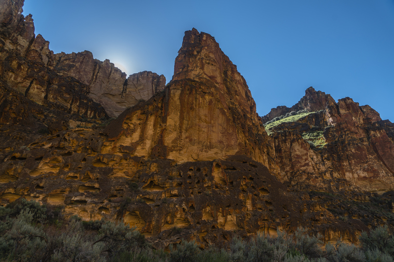
The scenery was outstanding here. In fact, coming down the pass into Spring Creek was one of the most spectacular canyons I had seen along the ODT thus far. Upon entering the private parcel, signs stated “No Hunting”, not necessarily “No Trespassing”. The vertical rock walls that formed the western side of the canyon were stunning. It appeared that there was a landing strip in the canyon, as well as a home of some sort. It was unclear whether it was currently inhabited, but it certainly didn’t look dilapidated and abandoned. Needless to say, I walked quickly down Spring Creek Canyon in order to pass through this private parcel as quickly as possible.


I pass through the private parcel right where Schoolhouse Gulch dumps into Spring Creek. I walk this for another mile before reaching another private parcel right on the Owyhee River. There is a fairly modern looking cabin here, and it’s clear that it’s used somewhat frequently, and probably not all that long ago. Donny is sitting on the porch In the shade, taking a break.


From here, we walk the shoreline of Owyhee River. Only now, it’s referred to as the Owyhee Reservoir on the map, from here to Leslie Gulch. The water level is low enough to make passage possible along the shoreline. In the spring, water levels are higher, which could make this traverse a lot more challenging. The scenery here was stunning as well, especially on the opposite shoreline.


We stop and filter water from the Owyhee Reservoir when we reach Leslie Gulch. The water here is pretty disgusting. In fact, it’s solid green, choked with algae. But, It’s the only water around, and it filters Just fine.

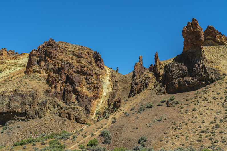


Next we hike up Leslie Gulch. There is a well-maintained dirt road here. I have visited Leslie Gulch about 5 years ago, my only prior visit to Oregon before hiking the ODT. I knew how stunning it was, but somehow, it was even better today. Just Incredible. Hard to describe how majestic this canyon really is. Both sides of the canyon are flanked with unique and impressive rock formations. Very jagged, and otherworldly.


Next, we leave Leslie Gulch and hike up Juniper Gulch. It’s getting hot now, temperatures forecast to be in the low to mid-90s today. Not only that, but it felt very humid. The hike up Juniper Gulch was outstanding as well. Surprisingly, pretty good trail leading most of the way up to the top. It was a 1000ft climb to the ridgeline, and the final 500 ft were brutal. The terrain was steep and the dirt was loose, causing me to slip and fall a few times. And the heat, man was it wearing me out.


Now on the crest, I walk the ridge line for a while and see Donny taking a break. There’s no shade, but we need the break either way.


Next we drop down into an unnamed canyon. The upper reaches are not all that impressive as we bushwhack our way down hill. So far, it’s quite a pain. But then, we see signs that it will be an interesting hike, as the canyon narrows a bit.


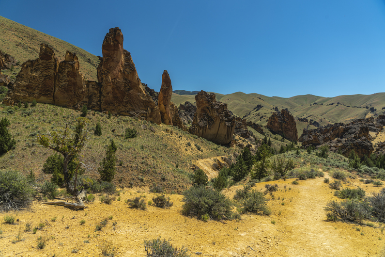
Once we really get into this unnamed canyon, it really begins to impress. More incredible rock formations; hoodoos, spires, pillars… whatever you want to call them. Large “fins” seemed to protrude vertically into the sky, and we weave in and out of them. Progress here is slow, because of the bushwhacking and because of the incredible scenery. The canyon fights us the whole way down to the bottom.


We hiked over a small hill and find a large tire filled with water. It’s pretty disgusting though; chocolate milk colored filled with algae and bugs. Still, we need this water. We are hot and thirsty, and it’s a long ways before the next water source. Unfortunately, I lost my pre-filter earlier on this hike. Since I practically never use it, I didn’t bother to search for a replacement. Well, now would be a great time to have it. The water is so dirty that my filter needs to be back flushed every quarter of a liter. It takes two hours to filter 5.5 liters.


The sun is dropping lower in the sky now and it makes the walking more bearable in the heat. Next, we hike over to Three Fingers Gulch, which boasts some pretty impressive typography on the map. And in-person, it does not disappoint. Very sheer vertical rock walls form the entrance to this canyon, and damn is it stunning.


We enter Three Fingers Gulch and do a bit of bushwhacking to pass through the deepest, most narrow part of the canyon. After a half-mile or so, the canyon opens up a little bit and the terrain becomes flatter. There is good camping here, so we stop for the day. Another excellent campsite, our last of the Oregon Desert Trail.
ODT Day 42 Map

Day 43: Painted Canyon & Finish at Lake Owyhee
June 23rd (finish)


The mood Is different this morning. The finish line is immediately on my mind, and a calmness comes over me. It’s a good feeling to know the end is no longer weeks or days away, but mere hours.
The hike out of three fingers Gulch is rather easy and pleasant this morning. There is a surprisingly good trail running through here. Most likely, a cow path. In fact, it looks like an old road used to run through here at one point. Whatever the case, we have something to follow.


The route turns up a side canyon leading out of three fingers Gulch up to a pass, and then drops us down into Painted Canyon. Wow! Another stunning Canyon. None of this was a surprise to me per se, anyone with the ability to read a topo map would have seen this coming. But seeing it with your own eyes in person is never exactly what you envisioned by looking at the map. Somehow, it’s always more impressive when you see it in person.


The hiking becomes more challenging in Painted Canyon, but still, not a terrible bushwhack. In fact, there is a halfway decent wash to walk, mostly clear of vegetation. Excellent scenery.
Towards the upper end of painted Canyon, there is a short section of a little bit of scrambling over a few small boulders and pour offs. Personally, I really enjoy this type of canyon hiking. Donny, though, not so much.


We climb out of painted Canyon and hiked up to the top of a saddle. I scare up a deer in the wash, one of only a few deer I’ve seen along this hike. South sheephead spring is here, and there are only a few small pools of disgusting water left in the footprints of cows who have trampled through the mud. Naw, I’ll wait. Near the spring, I see a badger. I had seen three others in the Steens Mountains, but this time, I was able to get a great photo with my zoom lens before he retreated into his hole.
Next, we climb up to Sheephead Ridge. The suggested route is pretty annoying here; instead of gaining the ridge and walking the top, the ODT route has us sidehilling below the top. There are no horse trails here or anything, it’s just a bushwhack through sagebrush and a bunch of scattered rocks. Very frustrating. Just climb slightly higher and walk on top of the ridge, instead of sidehilling around it.
I crest the top of a ridge and see Pronghorn antlers about 40 ft away. He scampers off downhill. Probably the closest I’ve been to a pronghorn on this trip, and perhaps ever.


Now I descend to Rookie Canyon Spring. There is a herd of about 200 cattle gathered around it. As I approached, I scare off the cows, but only enough for them to walk about 20 ft away. They moo like crazy, not happy that I’ve moved them away from their water source. They stare at me while I get my water, and are quite vocal. Eventually, the majority of the cows disperse, but a few stragglers refuse to leave.
Donny arrives and gets his water, and together we leave the spring behind for a road. The official ODT route has us about 7.5 miles from the finish line now. It would be all bushwhacking to the end, but I see on the map that there is an option to take old 4×4 roads all the way to the finish line. This would add three miles, but would certainly be easier and almost certainly would take the same amount of time, or be faster. Gladly! The terrain between here and the finish line just wide open Sage Kansas, and the bushwhack actually parallels the road. Seems pretty gratuitous to me, and as far as we know, most ODT hikers take the road route over the bushwhack anyways. It just makes sense.


At the top of the hill, I check my cell phone signal. Still nothing. I use My Garmin inreach Mini to contact the Friends of Owyhee, who pick up Oregon Desert Trail hikers from the Eastern Terminus at Lake Owyhee. We give them a time, and they said they could be there tonight to pick us up. Excellent!


We walked a few more miles through Sage Kansas, and eventually reach the road that drops us down along Birch Creek. The views from this road are outstanding, an elevated view above the canyon as well as Lake Owyhee which is now clearly visible. It’s hard to understand why the official route suggests that we bushwhack through the bottom of Birch Creek, through a lot of poison ivy according to other ODT hikers, but Donny and I are glad that we chose to avoid it. Good call!


It’s about a five-mile walk down this road through a winding canyon. With the end in sight, I begin to reflect on the journey, and all the emotions that come with finishing a thru-hike begin to rush in. My fourth long-distance hike, coming to an end. While nothing can compare to the feeling of completing my first thru-hike, I do notice one similarity; there are no combination of words that can accurately describe what a hiker feels at the end.

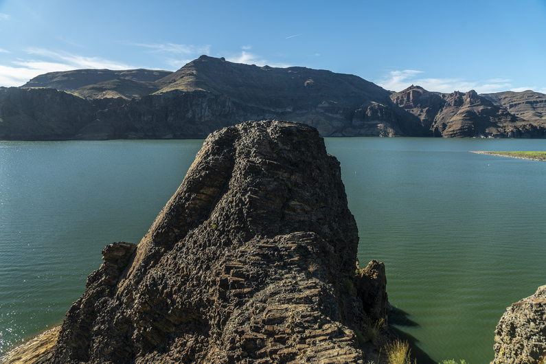


After descending the canyon, I reach a paved road, walk through the boat launch area, and over to the final outcrop of rocks that jet out into Lake Owyhee. These rocks mark the eastern terminus of the Oregon Desert Trail, and the end of my journey. Lake Owyhee itself is beautiful, surrounded by massive cliffs. The sun is shining and reflecting on the lake. It’s perfect. It’s exactly what I envisioned at the end of a long hike, for once. I certainly didn’t get this kind of ending on my CDT thru hike, in 2018.
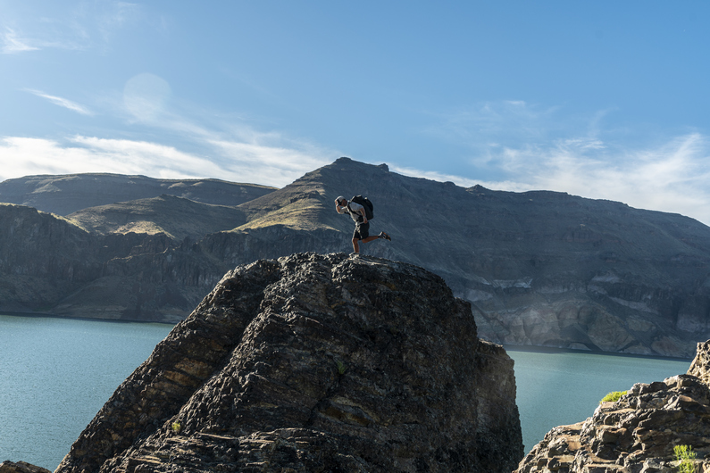
I climb out to the farthest, highest rock. I hoist my pack above my head, and scream at the top of my lungs. What a feeling it is to be done with this hike!

Donny arrives a few minutes later. We congratulate each other, snap a few quick photos, and head back to the day use area where we relax in the shade, sitting on a picnic table and drinking cold water from a spigot. Little luxuries, but the kind that one can only appreciate after a long hike, like this.
Sammy from the friends of the Owyhee is there to pick us up just after 8pm, and we begin the long but very scenic drive through the Owyhee Canyonlands to the town of Ontario, Oregon. Great guy!
I suppose the rest of the details don’t matter much to the average reader. Donny and I split a hotel room for the night, and I take a Greyhound bus to Boise the next day. Then I stay in a hotel near the Boise airport and fly home the day after that.
And just like that, another long hike is complete, another journey under the belt. Back to the world, where no one else understands what I’ve seen, endured and accomplished. At least on this one, I had Donny to share the experience with. One person that gets it. That’s more than I can say about my last few hikes. And for that, I am thankful. ODT complete.
ODT Day 43 Map

Back to Oregon Desert Trail Thru Hiking Guide & Journal index
Related Images:
Oregon Desert Trail Section 9: McDermitt to Rome (2022 Thru Hike Journal)

Day 34
June 14th


After our 11am checkout time, Donny makes a stop at the library to print out a shipping label, so he can mail a faulty Lite AF backpack in for repairs. With just over a thousand miles on it, the seams were all blown out and you could stick your hand through them. I’ve never seen a backpack fail like that.
It’s after 11am now when we start hiking out of McDermitt. We start by hiking dirt roads out of town for a couple hours. We’ll need to climb up 2,000 ft to the top of a plateau in order to enter the Owyhee Canyonlands. We’ll be in the Owyhees for the rest of our hike now, another 9 hiking days. That’s a big region!


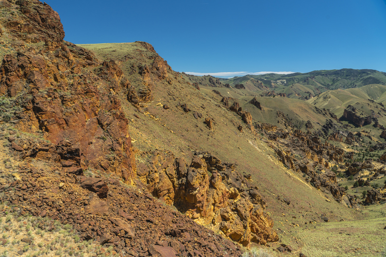
After climbing up about 1,500 ft, There’s a shelf that reveals some pretty impressive cliffs, and the final 500 ft climb. Every now and then, you stop and realize that you are walking into something special. And this was one of those times. The Owyhees have been on my radar for several years, and to finally be here at the Gates of the Owyhees, well, It was really starting to hit me.
Outstanding views as I climbed Up to the top of the plateau, topping out around 6600 ft. It was 65° in McDermitt today, and probably 55 or so up here. Add the 20 mile an hour winds, and it was quite cold.

After soaking in the final views over the valley below, I headed into Sage Kansas once again. These views always get me. Not the most beautiful, but damn, is it vast. And you gotta hike through all that. Just sage, to the horizon. Alright, let’s get into this.
The swarm of Mormon crickets had been pretty consistent all day. Wherever I hiked, they were there. They seemed way worse In town, but maybe that’s because they had fewer places to hide. I was really beginning to worry I might not be able to escape them tonight when it’s time to set up camp. And since I can’t zip up the mosquito netting in one of my vestibules of my tent, well, you can imagine why I might worry.
Even though the map shows a bunch of dirt roads up here, they barely existed, at best. It was mostly just cross-country hiking. And not the easy kind. There were many rocks to step over or on, many ways to twist an ankle. The hiking here has mostly been a pain in the ass after leaving the decent dirt road that led me up to the plateau.


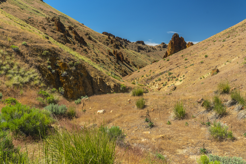
By early evening, I reached Louse Canyon, home of the West Little Owyhee river. I was really surprised to see snow tucked away against some of the canyon walls. I’ll drop down here and walk this for a few miles.
West Little Owyhee River Is flowing, and there is much green grass along its banks. The canyon is not deep or narrow, but it’s much more interesting than Sage Kansas. I’m happy!
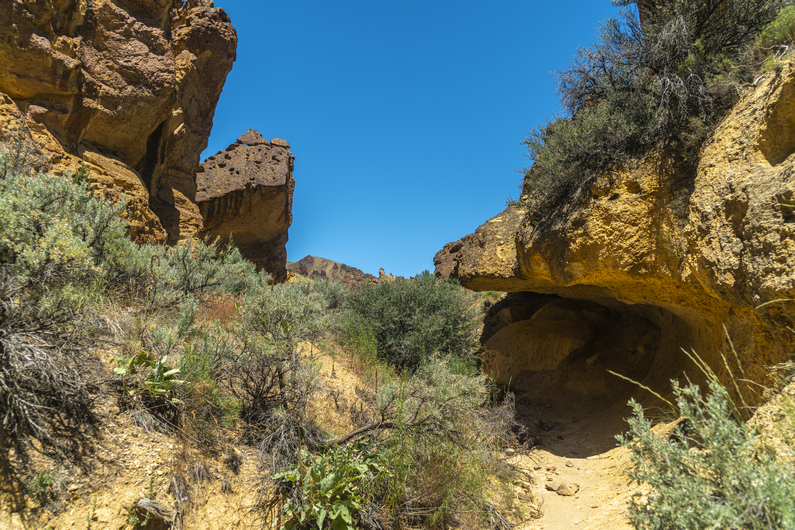
There are a couple of caves, arches and cool rock formations along the way. Hiking here in upper Louse canyon had a very raw and primitive feel to it. You could really feel a connection to our ancient ancestors that certainly called this canyon home. I’m not generally in tune with that kind of thing, but you could really feel it here.
After a few miles, the river was pushing me up against the canyon walls, and I found it easier to climb out. It was 7:30 now, and I was realizing that I was out in the middle of Sage Kansas again. That’s the term I coined on the ODT, Sage Kansas… referring to the flatness of Kansas, but with sagebrush instead of grass. Except now, There were so many rocks that these were much more of an obstacle than the sage. With several miles of this ahead, there will be no opportunity to get out of the wind and very little opportunity for a clear or flat spot to put my tent. So, I head back down into the canyon to make camp, a little earlier than I would have preferred.
It took a while, but I found a suitable spot to put the tent among some green grass. There was pretty good protection from the wind, but the downside is that I’m at the very bottom of the canyon, and not far from the water. This is going to make a cold night even colder, with the possibility of condensation, likely in the form of frost. Most nights, campsite selection requires a trade-off in one category or another.
ODT Day 34 Map

Day 35:
June 15th


Just as I expected, a very cold night, with condensation and frost. It was 20° when I woke up. This is one of the coldest nights of the entire hike. And it’s in mid-June, no less.
It was a good thing I didn’t push on past my campsite last night. This morning’s walk was slow, tedious, and absolutely nowhere to camp for miles and miles on end.
I reached Massey Canyon, and took a break. There were a couple of marmots around in the boulders here. Interesting, I was not expecting to see them here.
Massey canyon was short but pleasant, despite the cow activity. It was pretty heavily trampled by all the cattle, and cows were shitting right in the creek. It’s sad to see all the cows in places like this.


After Massey Canyon, it’s back out into the sage Kansas. I walked a series of dirt roads for a couple hours, reaching progressively larger roads. Swarms of crickets and grasshoppers came in waves. More cows, and another bull snake.


It was around 1:00pm when I reached Anderson Crossing. I had been talking with a guy named Mike on social media, who operates under the name About The Journey, and he was kind enough to offer to come bring me some trail magic. This is the time and place we had agreed upon meeting, but I didn’t see anyone here.
Crossing the West Little Owyhee River here at Anderson Crossing was mid-calf deep. I walked through the area along the road and around the bend, entering Louse Canyon. I figured I’d have lunch, filter water, and take a look at Louse Canyon while waiting an hour or so for Mike. Maybe he’s just running late? I took lunch, filtered water, and washed out my dirty socks… anything I could do to kill some time.
After stalling for a while, I decided it was time to get moving. Even though he won’t get it until he gets service, I sent him a message with my garmin inreach telling him I had to keep moving, and It’s a bummer that we missed each other.

Almost immediately upon entering Louse Canyon, I could see the challenge that lied ahead. The steep canyon walls and thick willows forced me into the water. I began hiking through the river, in water that was about crotch deep. It wasn’t long before I realized that this traverse of Louse Canyon wasn’t going to happen. It’s about 45 miles to Three Forks from here, and if the water is this deep in the very upper reaches, imagine how deep it will be farther down. Furthermore, it’s a very committing route, with few exit points. I decided it was best to turn around, head back and take the alternate route around West Little Owyhee, like literally almost every single ODT hiker does.

I was very disappointed. I had wanted to hike West Little Owyhee and Louse Canyon for years. Regardless, I backtracked through Anderson Crossing, and there was Mike. His truck was parked, and his camp was set up. His dogs rushed to greet me, and we said our hellos. This was definitely the silver lining here, getting to meet up with Mike and enjoying an afternoon of trail magic… beer and tacos!


Later in the evening, after dinner, Mike wanted to do an interview with me for his YouTube channel. In the middle of this, we had a couple of interruptions, in a good way. The first was an older guy named Charlie, who was out doing research on the number of predators (bear, mountain lion, wolf etc.) in the region. He asked us if we had come across any, and I thought back to what I had seen on this route so far. None of those in person, but tracks, and I even heard a wolf howl while in the hart mountain national antelope refuge. Charlie was pretty happy to hear that I had GPS location for this as well, since it happened while camping and I always mark my campsites. So after the hike, I’ll get in touch with him and pass on All the detailed information I have for what I’ve seen along this hike.
Our second interruption was two young women who were working for ONDA (Oregon Natural Desert Association). They were doing field work, monitoring effects of grazing on random plots of land. One of them had been working for ONDA for six summers, and said I was the first ODT thru hiker she’d come across. They were pretty excited to hear I was hiking the trail, and one of the women gave me her Oregon Desert Trail hat! That was super cool!
ODT Day 35 Map

Day 36:
June 16th

I got a late start this Morning, leaving Anderson Crossing at 9:45. Since I won’t be hiking the route through Louse Canyon, I’ll be hiking the alternate, which stays above the rim. The shaves off a couple of miles total, but probably shaves off at least a day walking due to the much easier terrain on the alternate route. I’ll be walking primitive roads all day. I figure It’s 29 miles to 5 bar, where the route crosses the main fork Owyhee River. This will be my goal for today.


Today’s walk was very dull. Besides the last few miles at the end of the day, It was all Sage-Kansas. I hike a series of dirt roads that seemed to get progressively worse. Pretty much nothing notable happened,
I saw my first and only rattlesnake of the entire Oregon Desert Trail today, alongside the road under some sage. It looks like he must have just eaten. It was a smaller snake, but very wide in the center. Well, at least now I can say I saw a rattlesnake along this hike.


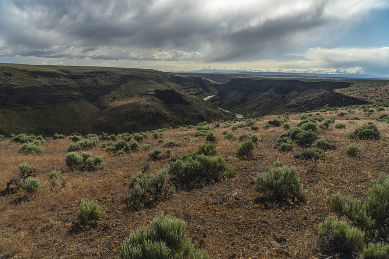
The scenery began to improve massively as I dropped down in elevation towards five bar. Louse Canyon terminates here as it meets Owyhee Canyon. The scenery is downright nuts! But, the route is anything but straightforward from here.
I get down to West Little Owyhee River and check my map. I will need to follow this downstream, but it’s choked with willows and the stream is braided. It’s just wide enough to be unjumpable, but with some ingenuity, I am able to keep my feet dry and cross.


I reach a deep pool, hemmed in on both sides by cliffs. I’ll need to cross this. It’s 30 minutes before dark, and I’m not too keen on getting my shoes or clothes wet. So, I stripped down to my underwear and put on my sandals, and went waist deep to cross it.
After that, I started working my way along the banks, and found myself walking above a small rock face. This ultimately ended up being a dead end, and I needed to backtrack. Then, I had to drop down to the river again and cross it. I push my way through some willows and get to the other side, where I could walk a gravel bar. This leads me around the bend, where I see a big cave on the other side of the river. It looks like an awesome place to camp, But I don’t feel like crossing the river again, moments before dark. So, I set up camp on the gravel bar, which still affords me an insanely awesome view!
ODT Day 36 Map

Day 37:
June 17th


I love mornings like this, where I open my tent to a view that takes my breath away. Even though I was aware of its beauty last night when I set up camp, but somehow a night of sleep diminishes our memory. Wow! I took some time admiring the towering canyon walls before packing up.


From camp, I’ve got a quarter mile hike North before I reach the Owyhee River. I’m walking through the West Little Owyhee River now, which is maybe calf deep here. Extremely scenic.

I reach the Owyhee River, and see a decent current and stomach deep water. Still, it doesn’t look like a raging river, and fordable. Taking Heavy Teva’s advice, I walk (bushwhack) upstream about 50 ft and cross here. It’s a little shallower. When I reach the other side, I walk down stream about 50 ft in the water and along the banks, and find a good spot to exit the water. That wasn’t bad at all. It was about crotch deep for me.


From here, the route climb steeply to the canyon. As a gain elevation, I noticed two things; the scenery is downright stunning, and the best crossing point would have been about 20 or 30 ft downstream from the confluence with West Little Owyhee River, not upstream. Here, the water was really shallow.
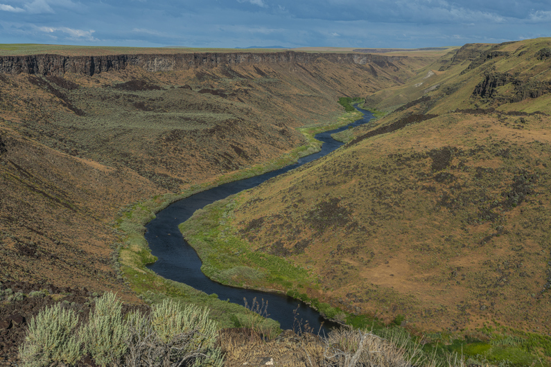
I can’t emphasize how incredible the landscape is here. This spot, climbing out of the Five Bar area, is my favorite along the Oregon Desert Trail. It seems like something out of a fairy tale. It really makes me want to return someday and explore these canyons more. Or just sit and stare at them.
At the top of the climb, there’s a Jeep parked along a dirt road. I really wasn’t expecting this. I follow this road across an area called Brown Ridge for several miles. It’s pretty boring here, mostly flat and rolling hills with sage. But this will connect me with three forks, which is another incredible area.
As I’m walking along brown ridge, The Jeep that was parked along the road a while back drove up behind me. Typical for me on boring stretches, I was in the zone and the Jeep scared the shit out of me as he approached. It turns out, This guy was hiking and camping down by five bar Ranch last night. He had also hiked the Idaho Centennial Trail a few years ago, which was pretty cool to hear. Very few people have hiked that trail.


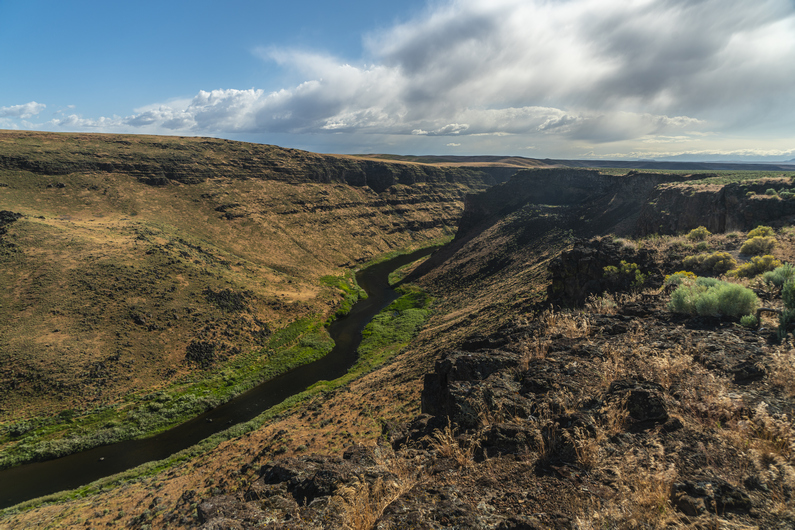
Soon I reached Three Forks and the scenery once again blew me away. Pretty Incredible landscape as I dropped down from Brown Ridge around Three Forks Dome. There’s a big network of roads here, as this is probably the single most popular spot in the Owyhees. There’s a hot spring here, and they always draw a crowd. However, I didn’t make it to the hot springs myself.
The road I was walking crosses the North Fork Owyhee River. Here, the water was calf deep. A quarter mile up the road, there’s a bridge that goes over the North Fork Owyhee River. It’s a pretty awesome looking canyon, and it’s clear more water is flowing through the North Fork than normal. There was some vegetation that looks like it would normally not be underwater. Today though, the Owyhee River USGS station at Rome was only showing 270 CFM, which is really not that high.
As I walked through the Three Forks area, I saw Mike’s truck parked here. His dogs ran up and greeted me, and I stopped by for a beer. It was 12:30 or so, and I had some time to hang out for a bit. Mike has a YouTube channel of his own called About The Journey, and he tried to conduct an interview with me the other day when we met at Anderson Crossing. However, he was having some technical issues with his GoPro, and what we recorded the other day was lost. So, I sat down again with him this afternoon for another crack at it.


I hung out with Mike until around 3:15. Now, it’s time to climb up out of the three Forks area onto the canyon above Owyhee River. My map shows cross-country hiking, so it was a surprise to see an old 4×4 road leading up the canyon. There were many trees here, junipers perhaps… the first trees I’d seen in a while. I was feeling great, and powered through the hike uphill, making quick work of the 1000ft climb. The road fades near the top, and it’s a couple hundred feet of off-trail to gain the rim.


The wind was whipping pretty hard by the time I made it up to the top. And the views were stunning! Owyhee Canyon is a majestic place. Along the rim, there’s an occasional lone tree that stands out. In fact, there’s a line of trees along the rim in certain places. Certainly, a microclimate exists here. Most likely, the wind’s moisture blows up from the canyon and allow these trees to exist along the rim. They are not found more than a few feet away from it.
Now, I tried to walk the rim as long as I can. The landscape everywhere but the canyon itself is an impossibly vast and open terrain. The vegetation here is a mix between Sagebrush and grasses, with a bunch of basalt boulders scattered along the ground as tripping hazards. The cloud cover is thick, the winds are whipping really hard. It certainly has an ominous feel to it, especially the way the grass moves in the wind.


The skies grow darker, and it’s pretty clear it’s going to rain. There has been light sprinkles here and there, I think the sky can hold out much longer. I stop and take the first acceptable campsite I can find around 7:30. Moments after setting up my tent, a moderate rain begins to fall. Man, is it a good feeling when you beat the rain!
It rains for an hour or two after sunset. And there actually was a sunset tonight. I was able to peak my head out of the tent and catch a glimpse. Red and orange skies, one final treat for the day.
ODT Day 37 Map

Day 38:
June 18th


I woke up this morning to full sun beating on my tent. The tall grass blowing in the light wind, wrestling against my tent, wakes me up. It looks like It’s going to be a nice day.
Today will be a mix of walking on dirt roads and cross-country hiking. There’s a well-maintained dirt road that roughly parallels Owyhee Canyon, but because the canyon twists and curves, the road is only sometimes close to the canyon. I’ll walk the road for now, as the canyon is a ways away.
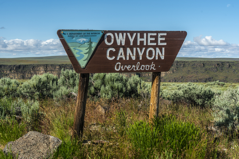
I walk the road to Owyhee Canyon overlook, and leave it here for a while I can walk the rim. Every time I see the canyon, it just takes my breath away. Incredible. Now, I hike the rim for a while before heading up over a hill and back to the road.


I stay on the road until I reach Lambing Camp Reservoir. I take a break here and then head up over a hill and drop down into Soldier Creek Canyon. There’s some water here, but also a bunch of cows. Not really drinkable water unless one is very desperate. You know, because of the cows. The climb out of the canyon affords a good view, though!


Back up on the rim, It’s no longer Sage Kansas. The landscape now is more of a, well, regular Kansas. It’s a sea of green grass, and it’s vast. Quite an incredible place to walk, really. Like hiking through that old Windows wallpaper background. The grass seemed to breathe with the wind, or perhaps, flowing like waves of water. Kind of a surreal moment.
As I drop down slightly into a canyon, the grass gives way to sage again. I meet up with another primitive road, and follow this for a mile or two.


When I leave the road, ODT route suggests that I walk the base of a small hill for a few miles. This doesn’t make any sense to me though, because It’s only a small 150 ft climb to the top, which looks like it would afford me a view of Owyhee Canyon. The walking doesn’t seem any easier on the bottom than it would be on the top, nor would it add any miles. So, I do a 5-minute walk to the top, and sure enough, there’s a view of the canyon.
First chance I get, I hike over to the edge of Owyhee Canyon. Of course, it’s just stunning. The cloud cover creates a real moody scene over the canyon, making for some great photos. Then I hike along the edge for a while, until the canyon veers away from my general trajectory. I definitely recommend this small alternate route, as an improvement over the original route. Do it!


I follow a ridge line downhill, come across the cow path, and it drops me down into a canyon. I walk through the canyon and meet up with a 4×4 road. This should mostly be the end of the xc hiking for today, although I still have too many miles left to town to truly believe that.
Soon, it’s time to stop and for a break. I found one of those tags that go through a cow’s ear, with a number on it. Surprisingly, this is the first one I’ve ever found. I think I’ll keep this one, just for the novelty of it.


From here, I think I have about 8.5 miles to Rome station, and it’s about 4:30. I have 2L of water left out of the 5 that I took with me yesterday afternoon, leaving Three Forks. I was conserving my water a little bit more, because I was thinking I was going to camp a few miles out of Rome tonight, and nearo into town tomorrow. But like always, when I get within striking distance of town, I can’t help but push in that same day. That means I’m no longer worried about conserving my water, so I can drink!
I hike on with a purpose now, hoping to reach Rome in time to get a cheeseburger before the grill closes at 8:00. To distract me though, the road I’m walking eventually veers very close to the edge of Owyhee Canyon. The edge is only 30 ft away now, and it’s very easy to stop frequently and see the canyon from new angles. And I take full advantage of this, stopping many times for photos and video.
When the road veers away from the canyon, my route has me doing a quarter mile xc hike to meet up with a different road. I walk through a field and struggle to find the road, but eventually stumble upon it. It’s here that I realize that my next turn is not really on a road, as the map shows, but it begins what appears to be a nearly 2 mile xc hike into town. Seriously? This is so like the ODT, to bushwhack your way into town. I was pretty pissed about this.
I can see that there is a very, very faint set of tire tracks that run parallel to a fence line. However, it’s through a bunch of cheat grass, which has been a real pain to walk through lately. Little bits of the grass, which are very sharp, stab my feet as they become embedded in my shoes. It can be pretty horrible to walk through for long distances. Not only this, but to descend the rim to the river on the other side, It looks like a bushwhack of a couple hundred feet as well.
I’ve got another idea. I can continue straight ahead on the road I’m currently on, instead of turning left along the fence line. This will take me to Highway 95, and will add 1 mile. I’m not worried that it will add one mile, because I’m pretty sure it will be just as fast as the official route. It should be faster hiking, with less crap in my shoes.
I reach Highway 95 and walk along the shoulder. The road curves and winds downhill, with a nice view over the Owyhee River. I crossed the bridge over the Owyhee River and marvel at its size here. It looks 10 times bigger than it did from the top of the rim.
I reach Rome Station at what I think is 7:30, having hiked 31.5 miles today. I’m surprised to see the store/grill closed. Inside the store I see a man, so I knock on the door. I tell him I’m an ODT hiker and looking for a tent site tonight, and a cabin tomorrow night, which I will split with Donny. He says they have a cabin available tonight and tomorrow night, 75 bucks a night. There are no showers otherwise, and with the 25 mile an hour winds right now, that cabin sounds pretty good. Sold!

For 75 bucks, I wasn’t expecting much. But when I opened the door to the cabin, I was pleasantly surprised. A hot shower Felt great, and I got started on my town chores… charging electronics, sink laundry etc.
ODT Day 38 Map

Day 39: Zero Day in Rome
June 19th
Donny arrived mid-morning, just in time for breakfast. And breakfast here at Rome station was excellent! Big omelettes, thick cut bacon, good hash browns. Seems like every little town in Oregon makes the best omelettes.
Not much to do today, except relax. We gorged ourselves with food and watched some TV in the cabin. Just one more section to go!
–> Continue reading Oregon Desert Trail Section 10: Rome to Lake Owyhee (91 miles)
Back to Oregon Desert Trail Thru Hiking Guide & Journal index
Related Images:
Oregon Desert Trail Section 8: Denio to McDermitt (2022 Thru Hike Journal)


Day 30: Red Mountain Wilderness Study Area
June 10th


After another delicious breakfast from the cafe, we had Dalton pick us up late morning to take us back to Cottonwood Road, where we will start the next section.
It was about noon when we started hiking. It’s 9 mi down Cottonwood Road before the climb starts. I see another bull snake within the first mile of hiking. I guess it’s snake season now. Still, no rattlers along the ODT.
Just before the climb begins, there’s a mile or two of cross-country hiking before meeting up with a road on the map. The xc exists to skirt around a private ranch property, which is pretty common on the ODT. While the xc hiking here is easy, because it’s so open, it’s a pain in the ass because many bits and pieces of the cheat grass get stuck in my shoes, socks and my one gaiter. They poke my skin like tiny needles with every step. Super annoying. It’s impossible to pull them all out too, some are just stuck in the shoes forever, it seems.
When I reached the spot where the 4×4 road was marked on the map, I could barely see it. This would be the beginning of another cross-country section, essentially. But as I hiked up Hill, the road Improved, along with the views. Now I enter the Red Mountain Wilderness Study Area, part of the Trout Creek Mountains.


I hiked over little windy pass, then Windy Pass itself. This is where the road ends. It’s a couple of miles of cross-country hiking from here, along no name creek.
The upper part of no name creek was nothing special. Some rolling hills and a bunch of grass. Easy xc hiking. But as I dropped lower in the canyon, the views improved. The canyon became a little narrower, and was flanked with some rocky outcrops. But still, rather green and lush. Interesting, and pleasant.


There was some minor to moderate bushwhacking along the creek bed. I occasionally found some water in the creek bed (No Name Creek), but really, not enough to draw from. There was also one small cattle pond. No thanks, I’ll pass.
I hiked along no name creek for a few miles before reaching a dirt road. I followed this uphill to no name spring. It’s a good size pond, With fairly clear water. I filtered 2L here, and took two more dirty liters with me to filter later. It was 8:00 now and I need to find a place to camp.
I planned on camping somewhere near the spring, But of course, at least a few hundred yards away from it. However, there was nothing flat nor clear. Ahead of me was a 1200 ft climb. I didn’t want to do this tonight, but I started heading uphill anyway, hoping I would find a flat spot along the road. I didn’t. In the end, I hiked the entire 1200 ft climb, up to 7400 ft, and didn’t see anywhere suitable to camp along the way.
At the top, I passed up a decent spot, determined to make it to Government Corral. I have no idea what’s here, but it’s marked on my map. One can only assume a corral has some land that’s clear-ish and flat-ish. I found a suitable spot along the road near the corral, just as it was getting dark. Well, I set up by head lamp, so it was dark. Just in time. I guess I’ll see what this campsite looks like in the morning.
ODT Day 30 Map

Day 31: Hiking the Trout Creek Mountains
June 11th


I woke up this morning to the sun on my tent. It was very relaxing. Started hiking at 7:45.
Past my campsite, I hiked through a few groves of aspens. The landscape was rolling hills, a few patches of snow off on top. There were occasional good views of the valleys and distant mountain ranges.
I stopped to filter some water from a trough before reaching Trout Creek, which was flowing pretty good. I took my shoes off to cross, and the water was COLD. There haven’t been many water crossings that required wet feet, so to me, it makes sense to take shoes off for crossings unless I know they will be unavoidably frequent.
Next I climbed up a road that follows alongside Trout Creek. This was another thousand foot climb. At the top, I was over 8,000 ft. Besides the Steens, this is the only other time I will reach 8k on the ODT. So far, the views weren’t that impressive here either.
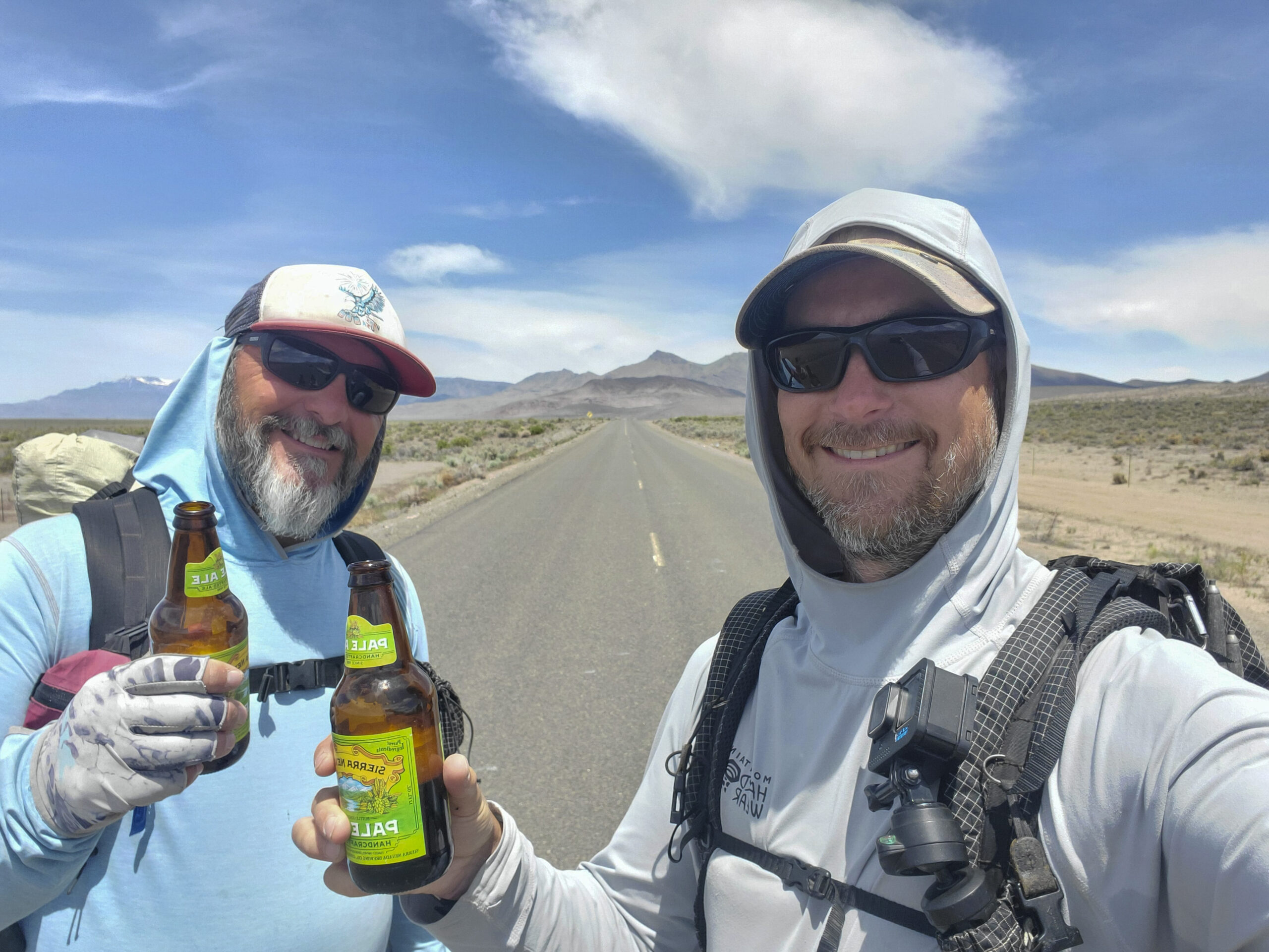
There were several miles of walking above 8k. I was surprised to see a couple of trucks coming up one of the roads. The last one In the convoy stopped and If I needed a beer. Of course! Score.
I walked another mile or so to a high point, where I’m taking a break to eat lunch and drink my Bud Light. It was getting super windy now. My tortillas were flapping around in the wind! Haha.


Next I drop down off the crest of the Trout Creek Mountains. Here, I hit the 500-mile mark on the ODT. Multiple groups of side by sides pass me In both directions. One of them stopped and me if I would like any fruit. That would be great! I scored a couple of apples and a handful of grapes. A nice fresh treat. His name was Ken, former owner of the Quinn River Market in McDermitt. He was very familiar with the ODT. Nice guy.
The scenery was getting better now, looking back at the Trout Creek Mountains and the way they transitioned into the lowlands below.
A couple of bike packers came up the hill as I was coming down. They weren’t doing the ODT, but instead, a couple hundred mile loop that starts and ends Frenchglen.
The next several miles were pleasant. Some decent distant views, and some interesting formations along the trail.


The next bunch of miles basically connect the Trout Creek Mountains with the Oregon Canyon Mountains. Unfortunately, they aren’t as scenic as some of the past few miles. There are several miles of sage and scrub land to cover here, across flat plains and some very small rolling hills. There was water at every marked water source: chicken spring, Fifteen Mile Creek, Gopher Spring, and log spring. There were also a lot of cows in the area.
I filtered water at log spring. From here, the route climbs up to nearly 8000ft again, and will be pretty exposed to the wind the next 6 miles or so. It’s 7:15, And I probably won’t have enough time to hike those six miles plus another 1.5 of cross-country hiking to drop down off the ridge. With a storm moving in tonight, I don’t want to be caught up on the ridge, so I decided to camp near the spring. Like, right next to it. This is bad camping etiquette, I know. But given the above factors, it’s my most attractive option.
Beautiful sunset tonight. I enjoy it, knowing that tomorrow morning I’ll wake up to rain.
ODT Day 31 Map

Day 32: Oregon Canyon Mountains
June 12th


Rain started around 1:30am, and the winds picked up after Sunrise. Well, it was hard to call it sunrise… when I opened my tent, all I could see was thick fog. Visibility was down to a few yards.
The rain this morning was pretty heavy, with high winds. But it came in waves. Every time the rain let up and I thought I could pack up camp, it started raining again. I’m generally not that motivated to pack up camp in the middle of a blowing rainstorm, and this morning was no exception. I drifted off to sleep again and again, wait for a break in the weather.
Sometime after 10am, I heard Donny’s voice. “Oh what a candy ass! You haven’t even left yet?”. Who are you calling candy ass, I’ve been waiting here since last night for you to catch up! While Donny got his water from the trough, I started packing up. Fine, I’ll hike today.
With Donny about 20 minutes ahead of me, I hit the trail and started walking into the clouds. It’s a 500-foot climb from camp to the top of the ridge. I could tell today was going to be miserable. And with the weather, I had to stow away my good camera, preventing me from capturing the likely-awesome landscapes that were obscured by clouds and rain.
As soon as I reached the top, it started raining. It wasn’t long before I was soaked to the bone and water was sloshing out of my shoes. I hadn’t expected so much rain on this hike, and thought I could get away with wind pants instead of rain pants. It’s worked for me on every other desert hike I’ve done. But this isn’t really a desert hike, despite the name.
I pass Donny, but it’s too cold to do anything other than keep walking as fast as possible. All of a sudden, the clouds break a little bit, and I can see how impressive the terrain is. However, my camera is packed away in my backpack in order to keep it dry. Even if it wasn’t, I was too cold and miserable to bother taking photos anyway. What a shame.
After reaching a high of 7860 ft, I take a road that contours south along a ridgeline. The brief lull in the weather quickly ends. Back to freezing rain. I hike fast, and the road fades. It’s pretty much a bushwhack now. I emerge to an open ridgeline, just as the thunder starts cracking. Great…
I reach the end of the ridgeline and look for my way down into Cottonwood Canyon. From here, it’s about 1.5 miles of xc hiking before I meet up with another dirt road… on the map. The weather begins to clear as I make my descent, and start pushing through wet sagebrush.


I reached the bottom of the canyon, and walk a cow path through Sagebrush along the creek. Everything is soaking wet. My shoes fill with water again as I brush up against the vegetation.
Finally, I reach the dirt road on my map that will lead me out of this canyon. It’s sunny for a moment, and allows me the time to stop and eat something. This would be the only time all day that I eat anything while hiking.


The views were excellent as I hike out of Cottonwood Canyon. I reached the top of the pass and get my first view into the valley to the east… upper Quinn River Valley, I believe. It’s big, vast, and looks like… more rain coming. Ugh.
I descend into the valley along what the map calls a road. Maybe it used to be a road 80 years ago, but today, it’s so faint I can barely follow it. It generally follows the path of Rock Creek.
Down out of the mountains, I hike around Mitchell Ranch. After following the fence line, I reach a dirt road that parallels a set of power lines running through the valley.
From here, it’s 12.25 miles into town. It’s 3:45, and it looks like I’ll be on roads the rest of the way, so I know I can make it tonight. I kick it into high gear and start knocking down some miles. Some wicked shelf clouds lurk about, which seem to chase me as I hike. Ominous.
I reached the highway, the Oregon/Nevada state line, at 6pm. It’s about 4 miles into town from here. I walk about two miles, and hear a truck coming up behind me. I stick my thumb out, and he stops. Interesting guy. He said he was about 18 beers deep, having just met up with his sister, whom he hadn’t seen in 15 years. He was driving about 25 mph in a 45, so I felt safe enough. Ha. I definitely had my seatbelt on though!
He said he had something for me, and offered a swig of some homemade booze… a family recipe. It’s been in his family 300 years, passed down to the eldest son of each generation. It was basically Ever clear mixed with apple mash and some other ingredients. Extremely smooth, and honestly, pretty damn good!
My ride dropped me off at the McDermitt gas grill and motel. It’s supposed to be a Rode way Inn, part of the choice hotels family. I walk into the gas station, and ask if I’m in the right place for the hotel. He says yes, and asked if I have a reservation. I said no, but how much for the night? He says 99 plus tax. I say, I see 85 on my choice hotels app. Will you match it, or should I book through the app? He says book through the app. Then he says, If I do that, it won’t show up in his system until tomorrow morning. I know this is not true, and call him out on it. But there’s nothing I can do, he’s the only hotel in town and that’s the game he wants to play.
Also, if I get the single room for tonight, and a double tomorrow when Donny arrives, he says I must check out at 11:00 and then would not be able to check into the double room until 3:00pm. What a douchebag. Seriously, this guy, real piece of work. Ultimately, I get a double room for the night, because Donny is coming tomorrow and we will split a room then. Not much choice unless I want to check out and then sit around side for 4 hours before I can check in again. There were multiple other things about the owner that made this one of the worst hotel stays I’ve ever had. Owner flat out refused to give me points for my stay when I asked him! Things like that.
To make matters worse, he refused to give me My Choice Hotel reward points. He says, maybe some other time. Really? Be some other time? How about right now! I later found out, he didn’t enter my hotel stay into his system, so Choice Hotels had no record of it when I gave them my “receipt.” Because he did not enter my stay in the system, Choice would not give me points either. This shady owner knew what he was doing. He’s scamming the system, basically doing things “off the book” and avoiding accountability for his douchebag actions. But there’s nothing I can do about it. There’s nowhere else to stay. I’m cold, wet and dirty, Just need a hot shower and a bed.
For dinner, I head over to the casino across the street. It’s basically the only place in town that has a restaurant serving hot food. It’s pretty basic and small portions, so I get both bacon cheeseburger and an order of chicken wings. The bartender had plenty of stories about things going on in town, including a renegade truck driver that was terrorizing town about a month ago. It didn’t sound real until she showed me the video. Some guy in a semi truck was driving around purposely smashing into vehicles. Most were parked, but then he hit one head-on along the main road. It was absolutely nuts! It took the cops an hour and a half to show up, and eventually charged him with attempted murder. So yeah, McDermitt Is an interesting town.
ODT Day 32 Map

Day 33: Zero Day in McDermitt
June 13th


There are a lot of oddities about this hotel room. The cold water won’t work at all on the sink. There’s a hole in the wall, stuffed with a rag to fill it. All the lights are fluorescent, and they flicker. General sleazy motel shit. Not surprised, given the sleazy, low-life scumbag owner that’s running the place. I bet this guy is friends with the owner of the Sands motel, down in Grants, New Mexico. Remember that, from my CDT thru hike? Put this guy up there with him. Motel wall of shame.
For breakfast, I head down to the Quinn River Market. I could have just gone to the convenience store that is attached to the motel, but I walked a little farther to another market. There’s no way in hell I’m giving that guy any more money than I have to. Everything in there is way overpriced, too.
Outside today, there is a massive Mormon cricket swarm descending on the town. I’ve seen another swarm in Central Nevada 2 years ago, but this one was far worse. It was impossible to step anywhere, without stepping on them. They pop when stepped on, and when cars drive by… pop, pop POP! Absolutely disgusting.
The scale of the swarm is hard to describe without photo or video. The entire wall of the subway was covered with crickets, perhaps 5000 or more. Business owners are outside sweeping them away with brooms. The entire ground seems to be moving. Sewers are clogged with piles of dead crickets. This smell almost makes me gag.
I pick up a few sausage biscuits from the market and use the microwave in the hotel. Donny shows up late morning, and we catch up on the events of the last 24 hours.
We spend the day doing the typical zero-day stuff… washing clothes, gear repair, grocery shopping. This was the first hotel we’ve had since Lakeview that had a TV, and we watched the reboot of MacGyver pretty much all day. No complaints.
–> Continue reading Oregon Desert Trail Section 9: McDermitt to Rome (117 miles)
Back to Oregon Desert Trail Thru Hiking Guide & Journal index
Related Images:
Oregon Desert Trail Section 7: Fields to Denio (2022 Thru Hike Journal)
Day 27: Hiking the Pueblo Mountains
June 7th


Donny and I were not in a hurry to leave Fields Station early this morning. We get breakfast, huge omelettes, and chat with the other travelers who stop in.
We hit the trail by noon, with 28 miles to Denio. 15 of these miles will be challenging xc hiking and bushwhacking though, so it won’t be a quick hike. For now, we walk a few miles of pavement.
Along the highway, a car stops and asks us if we need a beer. Well, sure! With no traffic in this area, he puts it in park in the middle of the paved highway, gets out and hands us each a beer. We chat for a few minutes, and learn he’s also doing some section hiking/biking on the ODT.
We enjoy our road beers along the hike to a dirt road, which will lead us up into the Pueblo Mountains. Now, it’s several miles of dirt road hiking along Sesena Creek.
We pass Roux Ranch, and get water from a little creek flowing from a spring. The mountains are becoming more scenic now. We follow a dirt road to a smaller 4×4 that takes us into the lower reaches of the Pueblos.
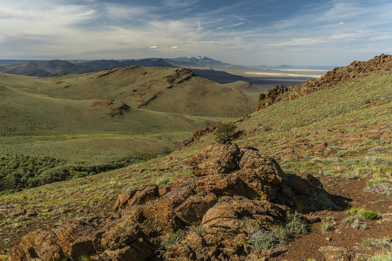
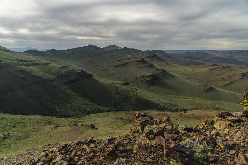
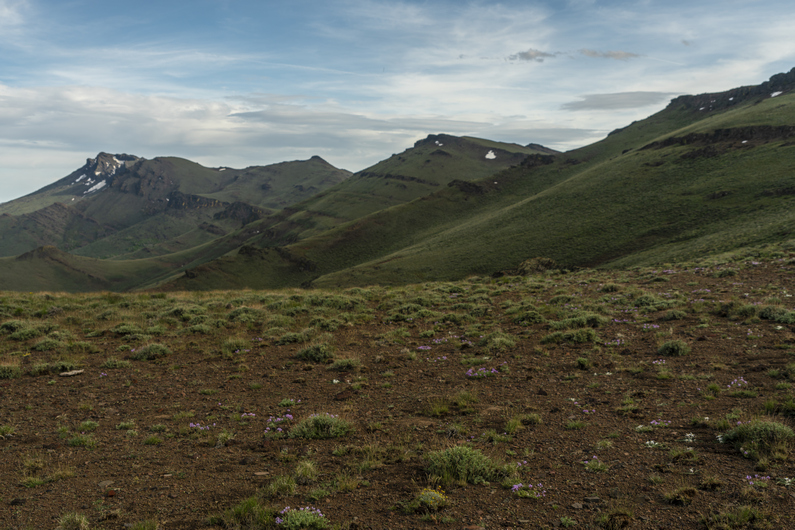
When the 4×4 road ends, the bushwhack begins. It’s thick here. We need to climb up about 1500ft now to gain the crest of the Pueblo Mountains.
The lower part of the climb was the worst. Once we climb out of the drainage, the vegetation thins, and the climb becomes easier. Not less steep, but at least, less thick.
There are several small saddles and ridges to climb over on the way up. I see a couple of arrowheads in the area. The views are getting better, overlooking the Alvord Desert and Alvord Lake in the distance, as well as the snow capped south Steens mountains.

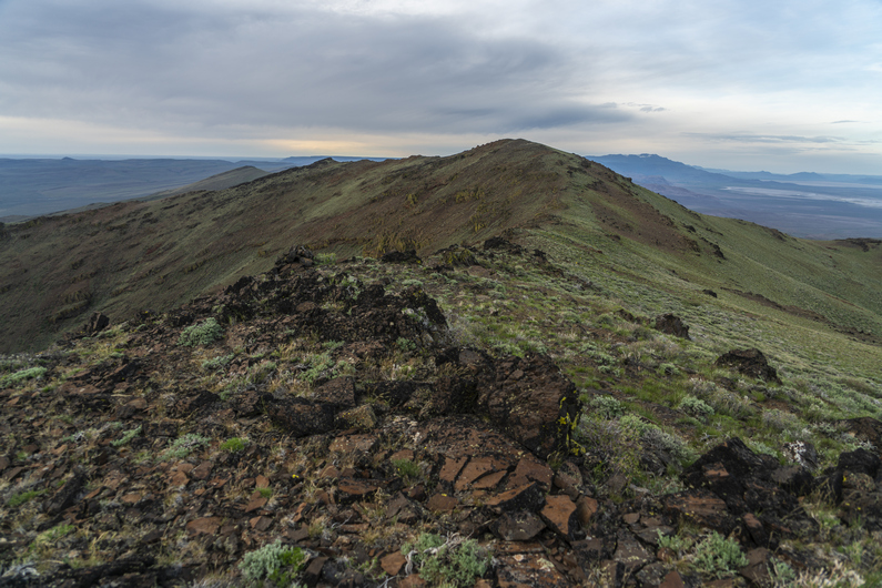
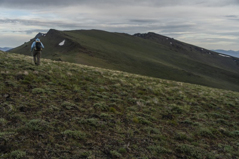


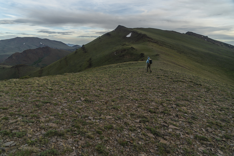
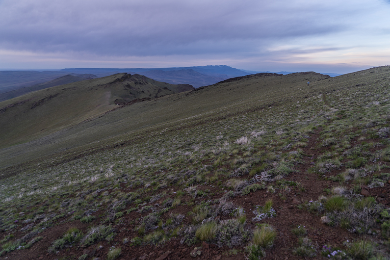
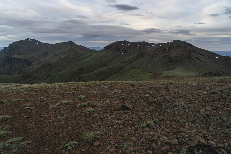
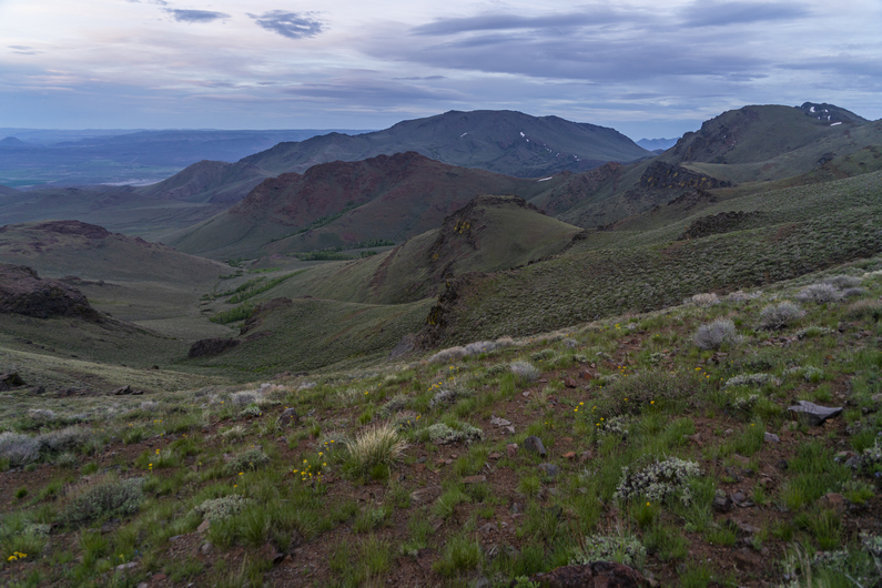
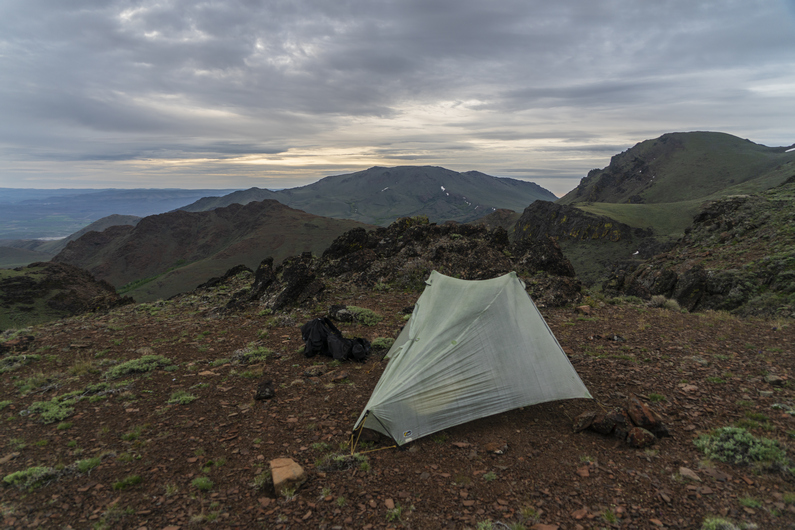
We reach the crest of the Pueblo Mountains sometime around 7pm. There’s no trail, but there are occasional faint game trails along certain ridges. Good views.
The hiking is not too hard here, along the first section of the ridge. Then we reach a section of thick bushwhacking among boulders on a hillside. We push past the thick stuff and emerge back into open terrain. We join a game trail and we’re back to good hiking along the ridgeline again.
It’s getting late now and we’re looking for a campsite. We hike the east side of peak 7878 towards Cold Spring, and find a good-looking spot up high on a ridge. Excellent views, and out of the wind. I get 3 of my tent stakes in, but a large rock under the soil prevents me from getting my final stake in. In fact, while trying to pound the stake in, the head snaps off. Oh crap, I’m screwed! I don’t have an extra. But thankfully, Donny does. Whew. But I still can’t pound it in due to the same rock. So, I use rocks to weigh down the stake, which is only 1 inch into the soil. This works, but I can’t get the pitch of the tent too tight.
Great view from camp. Probably the best campsite view of my ODT thru hike so far. I go to bed feeling good tonight.
ODT Day 27 Map

Day 28: Pueblo Mountains Bushwhack, Resupply in Denio
June 8th
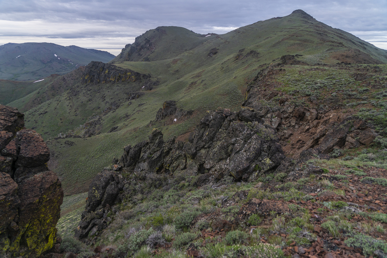
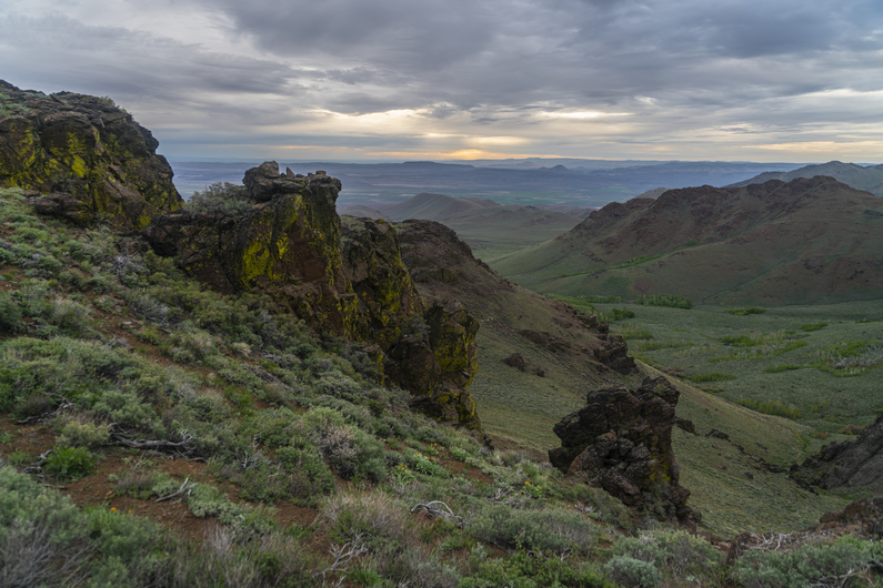
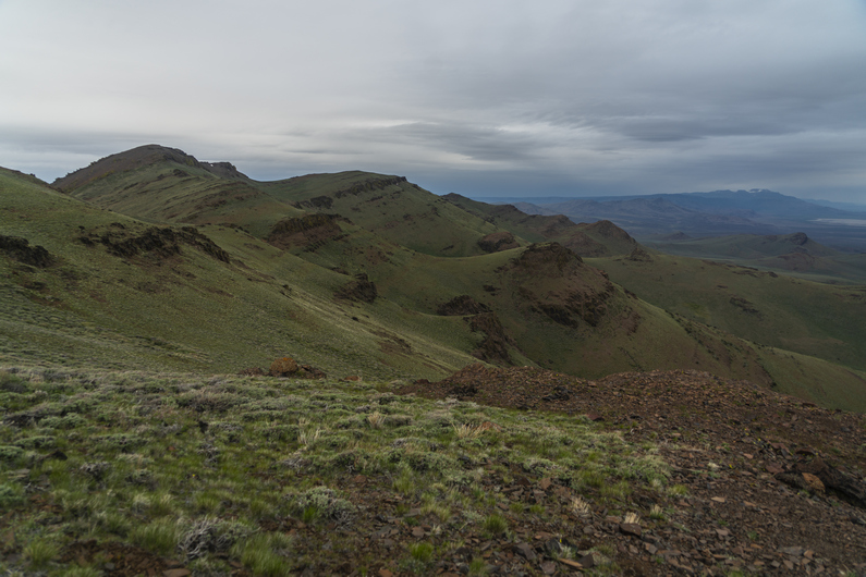
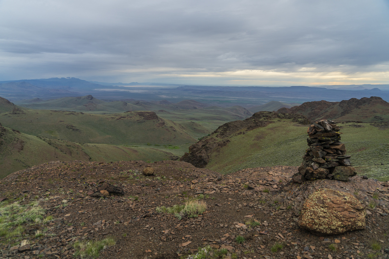

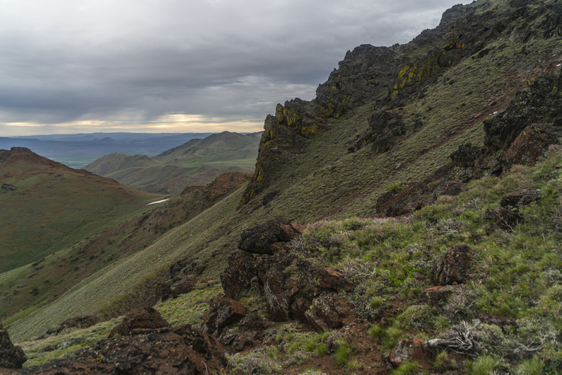


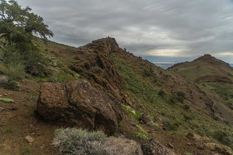
What began as a great campsite, turned out to be a long, awful night. The winds picked up, and my tent was flapping in the wind all night. Since I couldn’t pound in one of my tent stakes, and had to set rocks on it, I couldn’t put too much tension on the guy lines. The pitch was just too loose. I heard some sprinkles through the night. Even though I put my ear plugs in to mute the sound of the tent flapping in the wind, I hardly got 2 hours of sleep.
I woke to Donny’s voice at 5:30am, telling me he was going to hit the trail early. His tent was flapping in the wind too, making it impossible to sleep. I packed up then too, and started hiking by 6am.
The scenery was beautiful in this area of the Pueblo Mountains. Probably the most striking landscapes of the entire section. But, the bushwhacking would also start here, above Willow Creek Pockets and around peak 8060.
Next, the route traverses a steep slope covered with thick sagebrush. It’s a real pain, this bushwhack. I stop at a small saddle to eat breakfast, since I skipped it this morning. I was so tired of hearing the tent flapping, I just wanted to get moving.
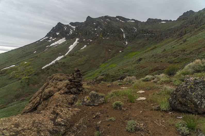
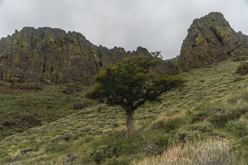
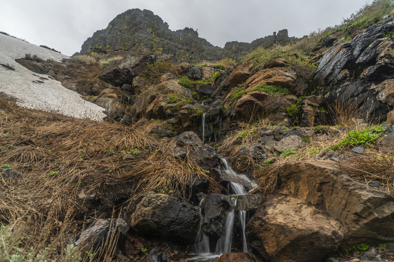
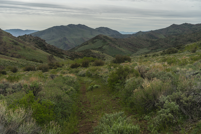

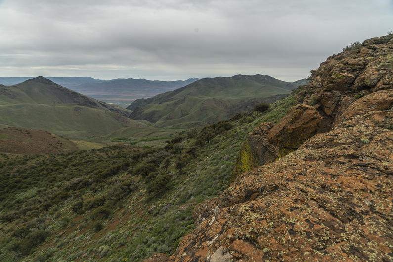
After my break, I cross a small creek. Here, I see the only patch of snow along this section.
The bushwhacking continues throughout much of the day. Especially on 2hrs of sleep, this zaps the motivation out of me, and really reduces my enthusiasm for this section. It’s really thick, and I can’t help but wonder why the route doesn’t just stay on top of the ridgeline. Sure it’d be more climbing, but it looks pretty walkable from the map and would surely be less bushwhacking. At least up there, it’d get big views for my effort. If I were to hike the ODT again, I would seriously consider giving the crest above me a go in this section.
The best views of this section come before Ten Cent Meadows. After this, the route drops down into Van Horn Creek. There’s an old 4×4 track here for a short while, but this fades when it’s time to climb out of this valley and over a ridge. However, I do find some cool rocks here, so this keeps me busy. Desert Rose can be found in abundance here, which is a type of Gypsum (or Baryte) where the mineral forms like the petals of a rose.
The climb out of van horn creek is tough. Mostly because of the soft sand. On the other side of the ridge, more of the same. Now, the route climbs above a rock face that runs across the upper basin of the valley. The route contours along the top of this rock face to a saddle.
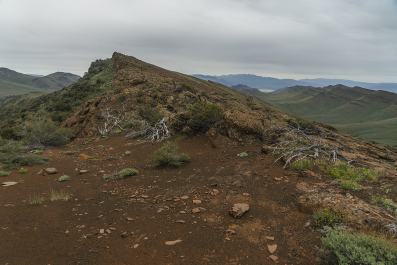

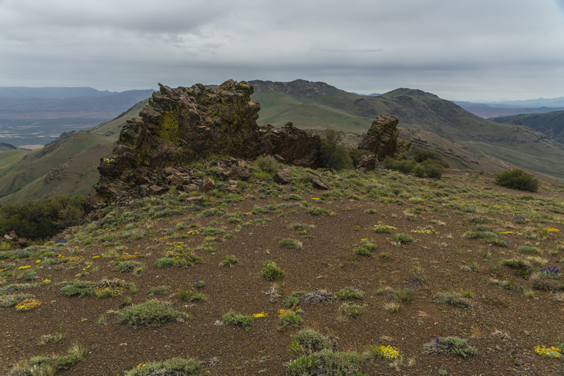
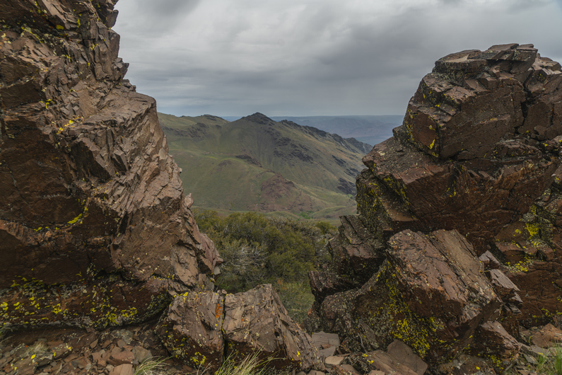
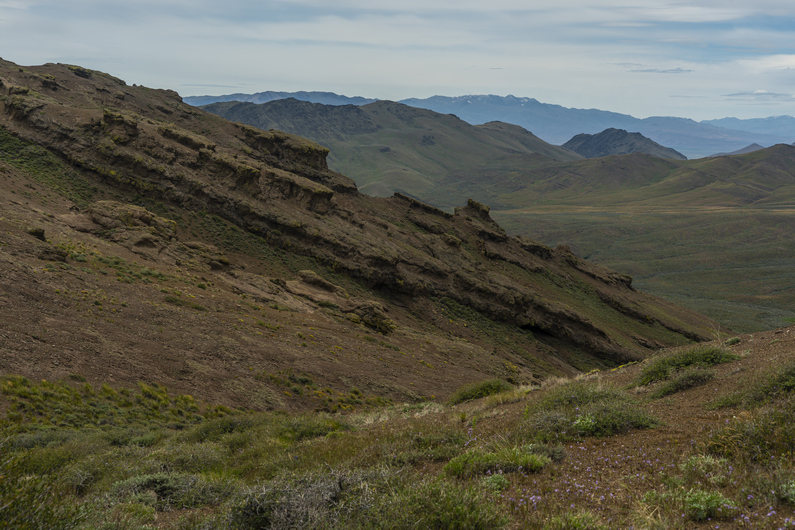
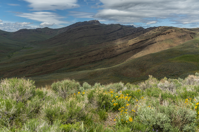
On top of the saddle, separating van horn basin from Denio basin, I see an opportunity to follow the ridgeline instead of dropping down into Denio Basin, per the official ODT route. Staying up on this ridge appears to be shorter, would have a better view, and would avoid a 500ft climb out of the basin that’s coming in a few miles. What’s the catch? Don’t know, but going to find out if there is one.
The ridge is pretty scenic, and had some really cool upheaval of rock along the crest. There is no bushwhacking here, just some small ups and downs.
Over a hill on the ridge, I see Donny. He didn’t take this ridge from the saddle, instead, he climbed up here from van horn basin. He had been way off track, and just hiking xc over ridges and drainages to get to this point.
We continue walking the ridge and reach a faint 4×4 road. We pass a 4×4 with a few guns strapped to the front. It doesn’t look like there’s anyone around, though. A mile later, we hear the 4×4 start, and approach our way. They guy driving it was surprised to see hikers here. He was out scouting for deer and chukar. We chatted for a few minutes, and he moved on.
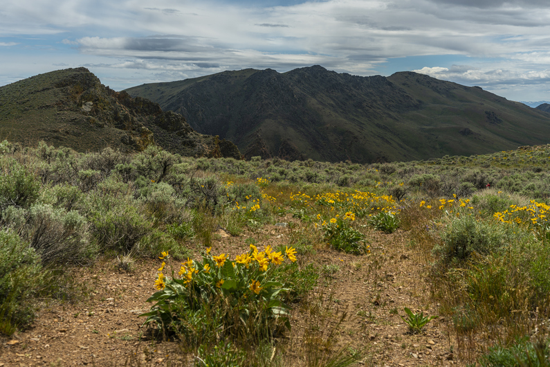
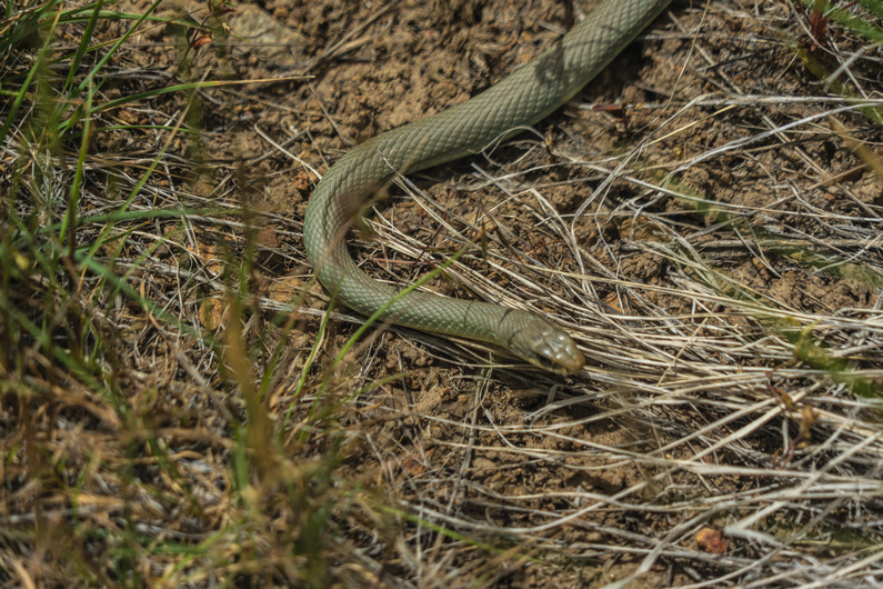
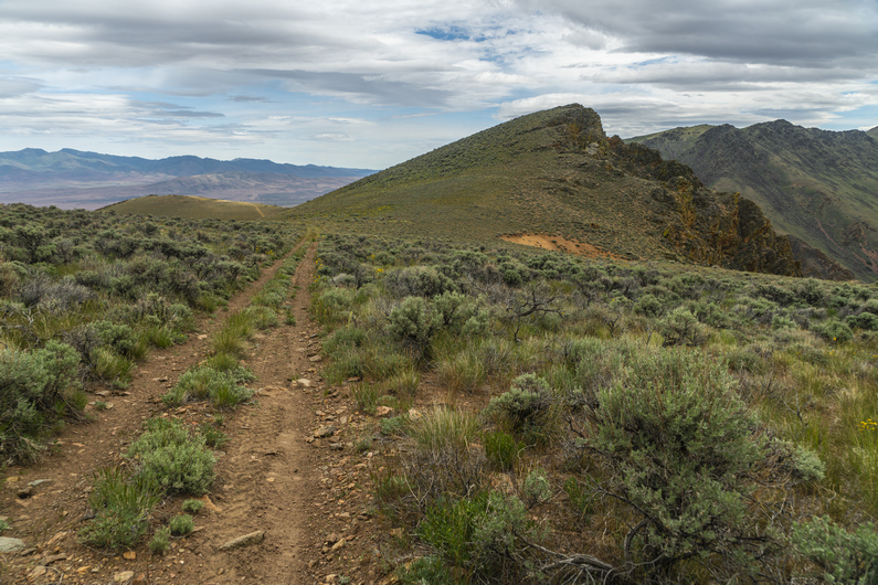


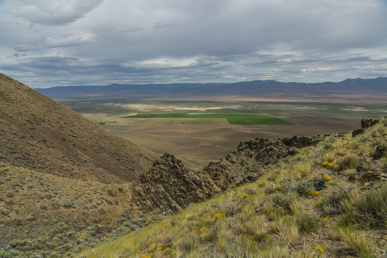
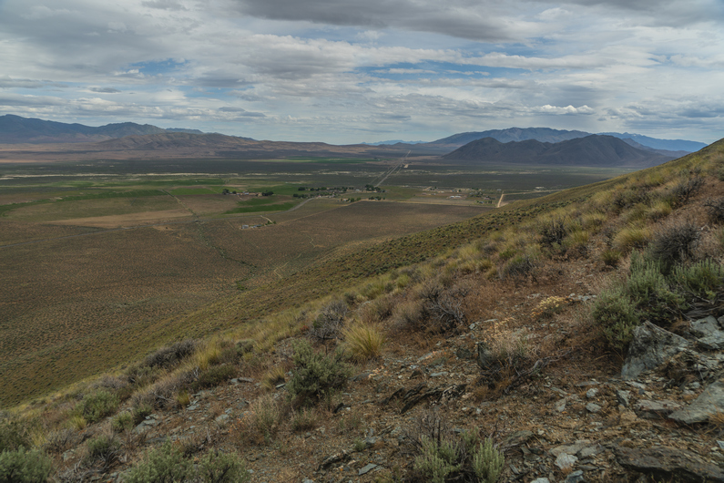
We dropped down off the ridge, then climbed up another 300 ft again. The views are pretty good now along this ridgeline. We are only about 3 miles from Denio at this point, even though town doesn’t seem close. It still feels like we are “out there” a ways.
We begin the descent down an unnamed canyon along an old 4×4 road. There are some old mining cabins at the top of the canyon. There’s some furniture inside that’s been eaten by rodents and animals, and has deteriorated into a scene from a horror movie. I’ve never seen an abandoned cabin like this one.
Past the cabins, the road fades out. Not only that, the canyon gets extremely steep. I guess it’s a bushwhack from here on out. The sagebrush grows pretty thick here.
We skirt the hillside for a while before ultimately dropping down to the Creek Bed at the of the bottom of the canyon. It’s walkable, but also extremely thick. I see three snakes in one hour, but none of them are rattlers. With only one gaiter, I’m getting a ton of grass and debris in my shoe now.
Towards the bottom of the canyon, we see a game trail that stays high and skirts around the hillside is it exits the canyon. It seems like a pretty good path at first, but it faded out as we rounded the corner. Should have stayed at the bottom. Now, we bushwhack down a fairly steep hill to get to the bottom, and meet up with a dirt road leading to the highway, which takes us to Denio. Technically the section ends here, but we need to hike a couple miles into town for resupply. These are bonus miles, now.
It’s 3:00 pm now, and we have a mile and a quarter before reaching the post office in Denio, which closes at 3:30. I throw my thumb out at the first vehicle that passes by, and thankfully, he stops to give us a ride to the post office.
We pick up our resupply boxes from the post office just before close, and head next door to the Diamond Inn Bar to get some food. We are the only people inside without cowboy hats. We may have been the only ones without spurs, too. A bunch of good ol’ boys. The bartender asks us what we’ll have to drink. Donny orders a Coors Light, which is what I would have ordered if I wasn’t so dehydrated. I’ve only drank about 1.5L water all day. So I just asked for water, for now. You should have seen the look on everyone’s face in the bar. Mostly a bunch of laughs, and the bartender smirks and says, “water? Ain’t never heard that one before. You mean like in a glass?” I sighed. “Yeah. Just water”. Them cowboys had a good ‘ol laugh about it.
We ordered some burgers and eventually started talking to a younger kid named Dalton that was working there. He agreed to give us a ride down to Denio Junction, where the hotel is. This saves us a 3.5 mile walk.
We get a room at the hote,l and quickly make some friends inside the store/cafe that’s attached to it. The new owners had just bought the place, and had moved from Missouri a few months ago. Very nice people.
ODT Day 28 Map

Day 29: Zero Day in Denio
June 9th
Coming off a long day of bushwhacking on only 2 hours of sleep, I crashed hard last night. I can’t remember the last time I slept so good In a hotel.
I had a zero-day in Frenchglen, only because I arrived in town a day sooner than Donny had. Lakeview was Donny’s last zero day, so we took a day off here. The hotel was supposed to be booked for this evening, and we had actually planned to keep hiking since we had no other options for a room, but there was a cancellation and we were able to get a room for the night.
One great thing about staying here at the hotel, is that breakfast at the Cafe next door is included in the price of the room. So, a $10 breakfast for free (each), kind of sweetens the deal. Additionally, bottled water and Coke products in the convenience store, which is part of the cafe, are also included in the price of the room. Bottomless cokes!
Dalton picked us up mid-afternoon and took us back to the post office. We were able to mail a few things out, and then went back to the Diamond Inn bar. We ordered some pizzas and drank some beers. It was a different crowd in here today, the cowboy gang must have been out roping cattle today or something.
As we walked into the bar, another hiker walked in. His name was TJ, and he was section hiking the ODT. We had some beers with him, before he took off. We also ran into the guy on the four-wheeler we had met yesterday afternoon on our way into town.
I then asked Dalton to give us a ride back to the hotel, and he said he could in a few minutes. However, The guy we met on the four-wheeler yesterday, Greg, was sitting there at the bar next to me as I asked Dalton for the ride. He said he’d give us a ride right now, and so we took it. It’s amazing how these things work out when you’re a hiker, in a small town.
–> Continue reading Oregon Desert Trail Section 8: Denio to McDermitt (72 miles)
Back to Oregon Desert Trail Thru Hiking Guide & Journal index
Related Images:
Oregon Desert Trail Section 6: Frenchglen to Fields (2022 Thru Hike Journal)
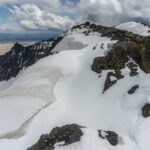
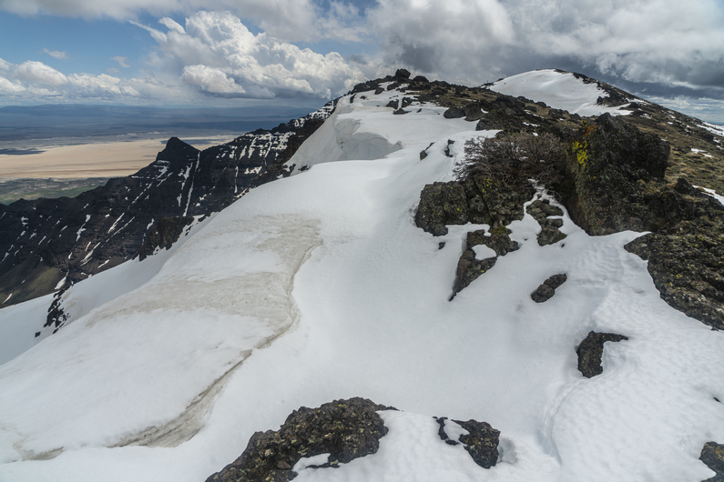
Day 24: Steens Mountains, High Water Alternate
June 4th
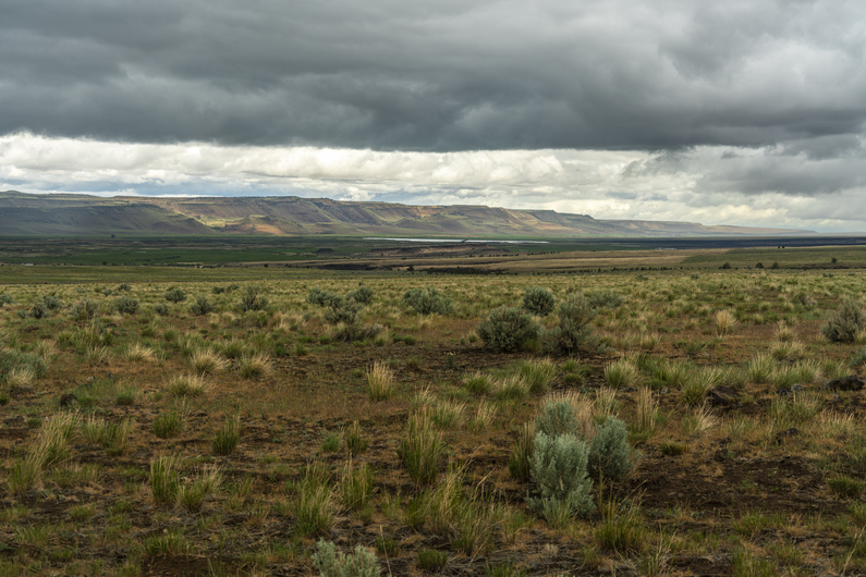
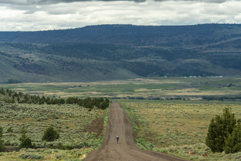

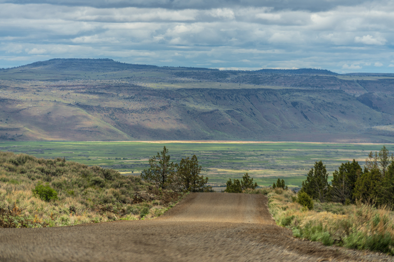

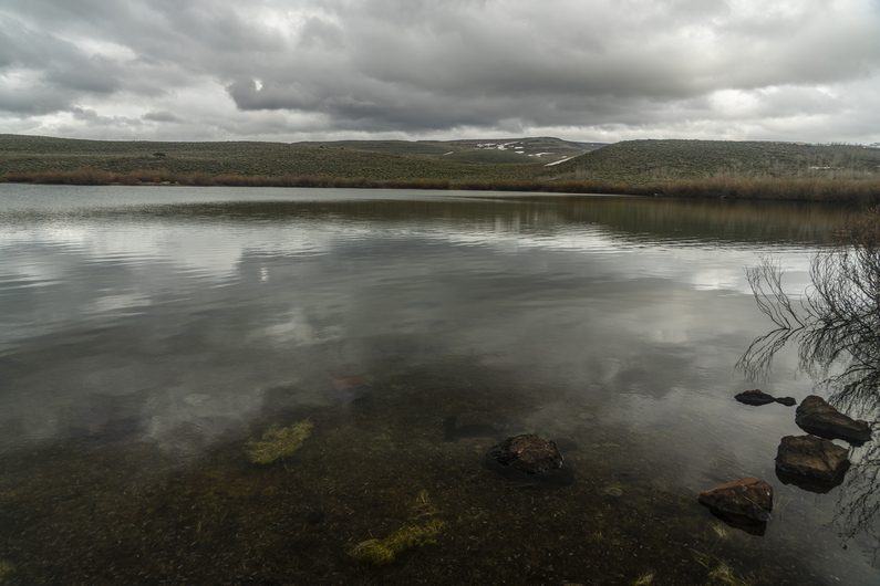
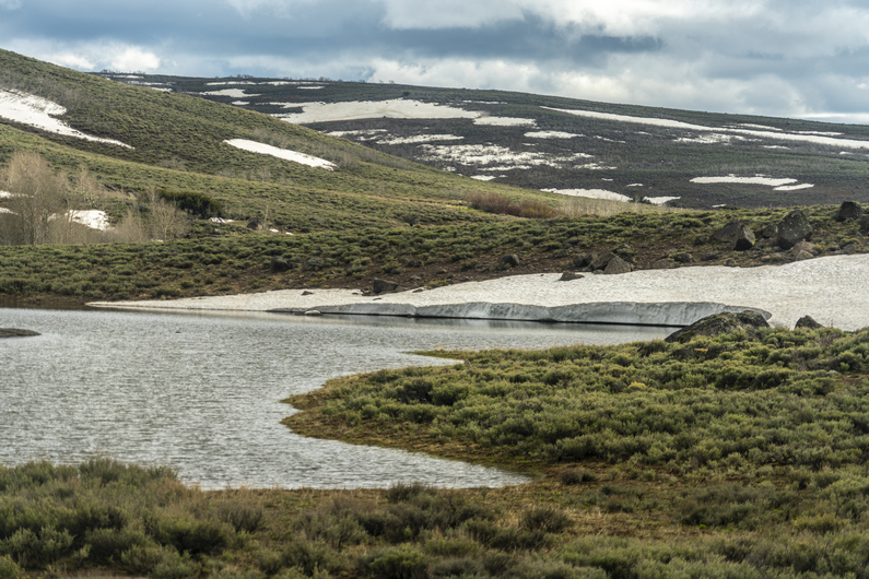
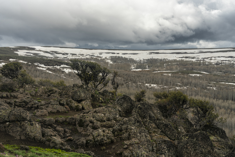
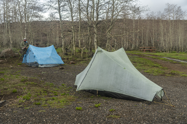
The weather was looking very nasty this morning. Dark clouds, high winds, and threatening to rain. Donny and I debated what to do. The rain stopped at 9, and was supposed to just be cloudy all day, until more rain comes around 7pm. Additionally, this lingering winter has held more snow in the Steens than anything else along this route. The temps have just reached the 70s last week, and the snow has been melting fast. This means high water crossings, some dangerous according to a recent report from another ODT hiker.
Heavy Teva had just left town 36 hours ago, and tells us he took a road up to the top, where there was snow, but nothing crazy. ONDA, who runs the ODT, also gave us some info on the route ahead, advising an alternate around Big Indian Creek and the water crossings there.
So, we have an alternate route lined up that will avoid the dangerous water crossings, still allow us to the high point. We’ll skip big Indian creek, unfortunately. We’ll hike the dirt road up to the top and rejoin the ODT route there before Steens Mountain summit.
The walk out of Frenchglen along our alternate is rather boring. It’s a long, flat looking plateau with sage and cows. The high country of the Steens is not visible at all from below. It’s a 5600ft climb to the top. Looking back across Blitzen Valley is really nice, though.
I make it to Fish Lake mid-afternoon. When Donny arrives, he takes a quick food break and we push on to Jackman campground, another 2 miles up the road. We pass a few small lakes, and “naughty girl meadow”. I’d love to know the story behind that name.
There’s more snow here at 7500′. Nothing really to walk through just yet, but it’s on the hillsides, especially the north facing slopes.
We reach Jackman campground around 5:30. It doesn’t make sense to go any higher tonight, as this appears to be the last spot along the route with trees until we go over the crest of the Steens and drop down the other side. We want the cover from the wind, and it’s supposed to rain all night. Plus, there are amenities here, like pit toilets, garbage cans (very surprised!), picnic tables and a water pump.
We set camp up by 6pm, very early by thru hiker standards. It’s raining by 8pm, so we are happy to have made the right call tonight.
ODT Day 24 Map
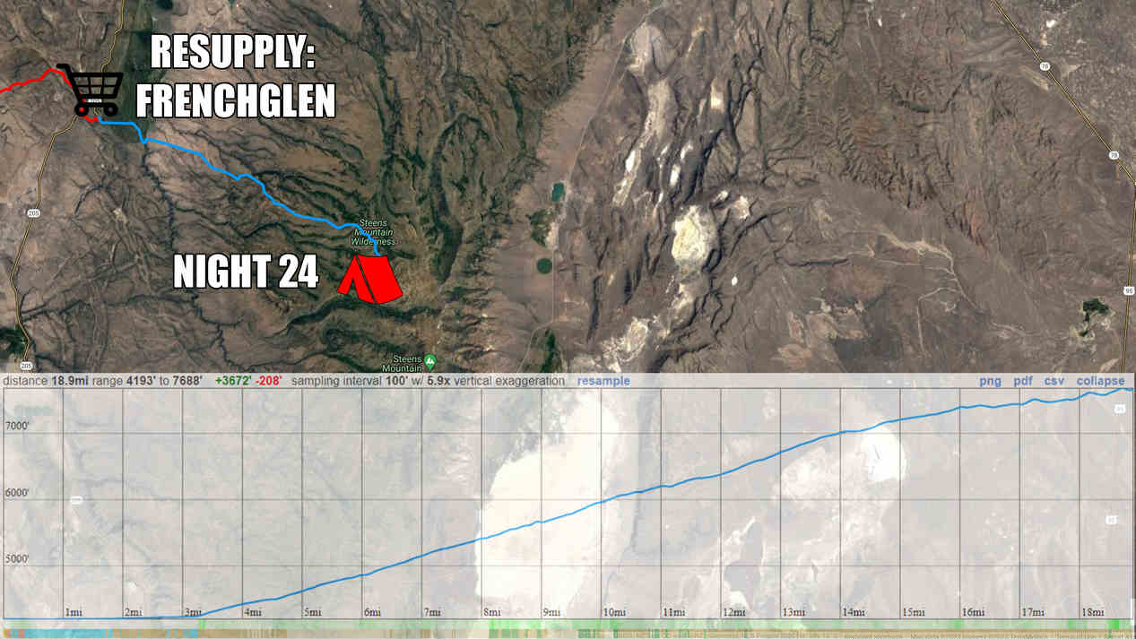
Day 25: Steens Mountain Summit, Wildhorse Canyon, Indian Canyon
June 5th

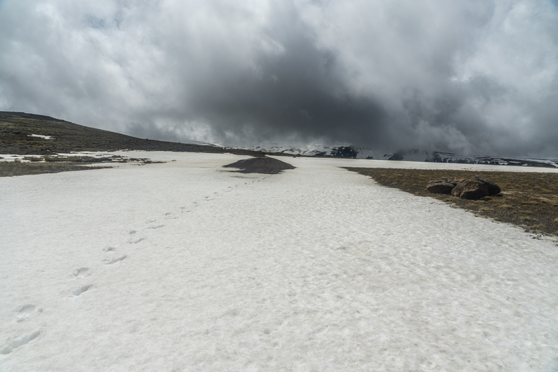


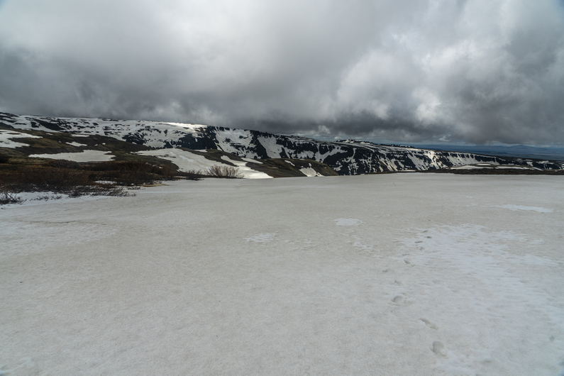

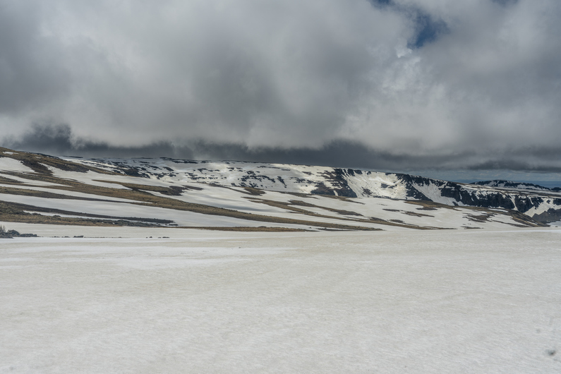
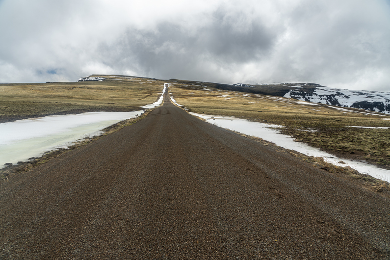
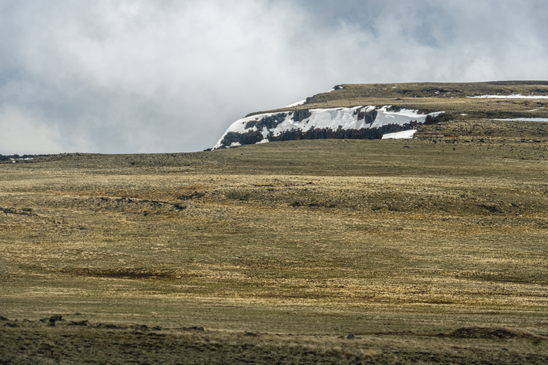
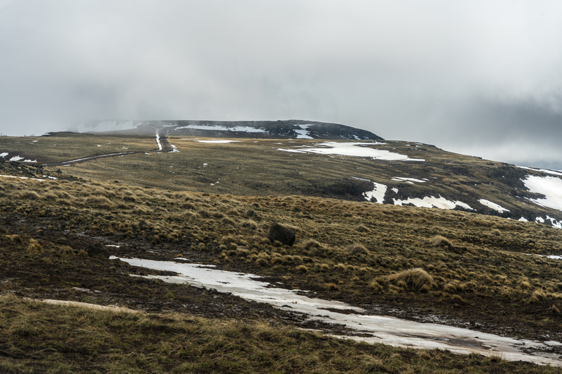
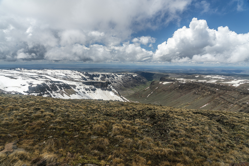
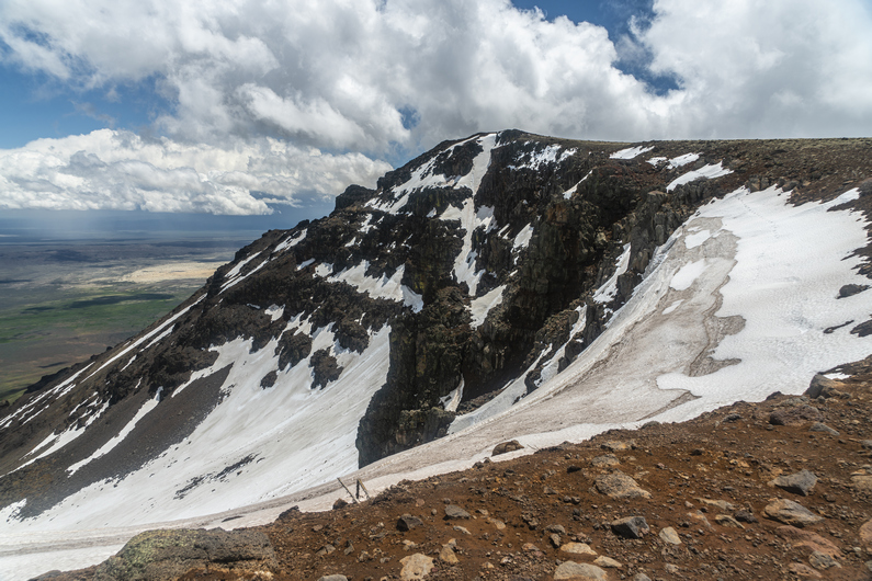

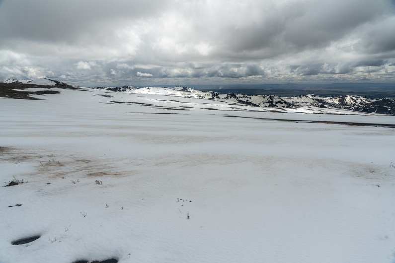
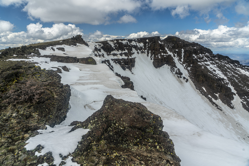

It literally rained all night. The wind was also whipping pretty hard, and blowing into my tent. Not only that, water was pooling up under my tent, and soaking through. Despite this, I was warm In my quilt, even though that had become damp. It was a fairly stressful night, between the wind and water.
The rain didn’t let up until 9:00 a.m. When I open my tent this morning, we were basically in the clouds. Much of my gear is wet, and my motivation level is low. Donny got a half hour head start on me, and I will try and play catch up this morning.
I continue walking the road uphill. It’s not long before I encounter my first patch of snow over the road. All the small creeks alongside the road are swollen with melt water.
Conditions rapidly deteriorate as I gain elevation. The stretches of snow become longer, and eventually, I begin to post hole. I see Donny’s footsteps, and they are full of water. I tried to take a different path, but it’s no use; my footsteps suffer the same fate. Here, I’m crossing a snow covered meadow, and it’s just filled with water. There is no avoiding it. My shoes are full of water now, and it’s icy cold.
In the distance ahead, I can see Donny. I assume he’s going to take a break, since it’s been a few hours now since we left, But he keeps going. I’m ready for a break though, so I try and take cover behind a rock. My tortillas are blowing away in the wind as I try and eat!
There are fast moving dark clouds everywhere on the horizon. Eventually, a few of them spit freezing rain at me. The road is near the edge of a huge cliff facing east, so I walk up to the edge. Wow! There’s a huge amount of snow just below the ridge line, and a massive. The winds are blowing 35 mph today, but up on this ridgeline, the gusts must be 60 mph. They catch me by surprise, and nearly blow me off my feet.
The road disappears under snow now. Out of frustration, I seek a route around it. This leads me to the top of a ridgeline. More amazing views, now overlooking the Alvord Desert.

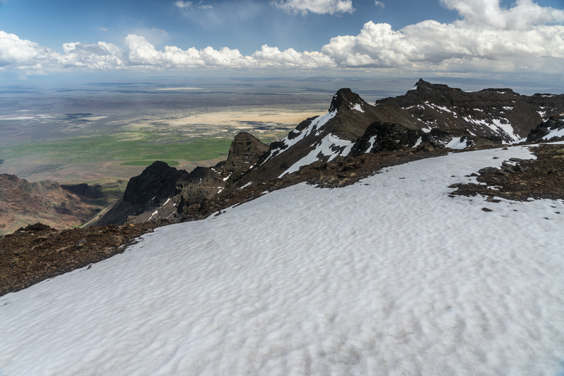
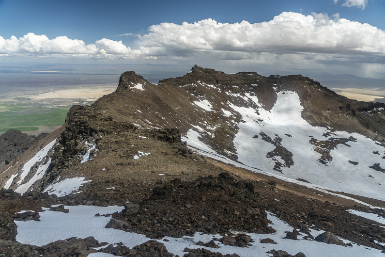
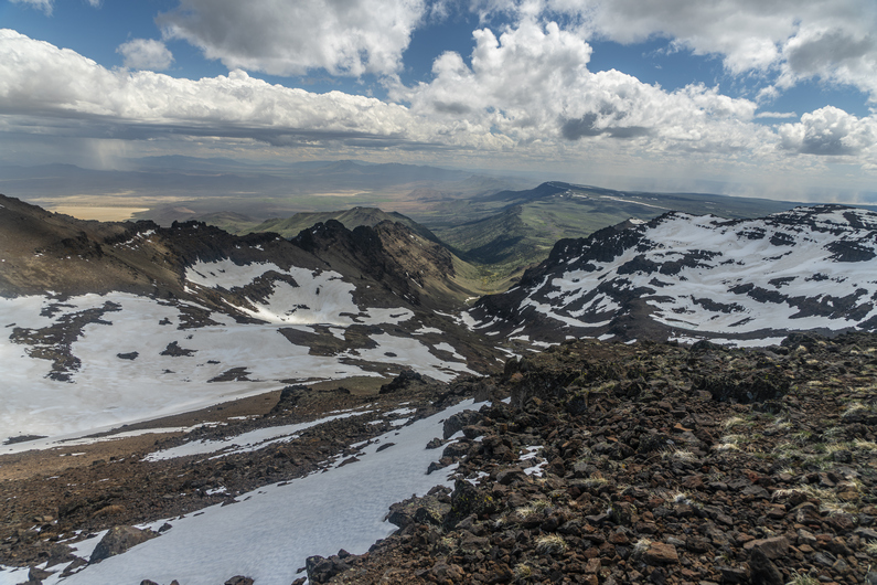
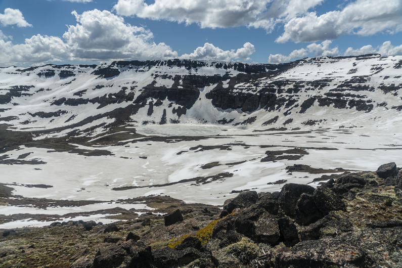
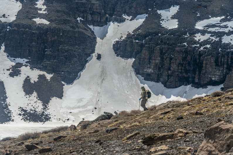

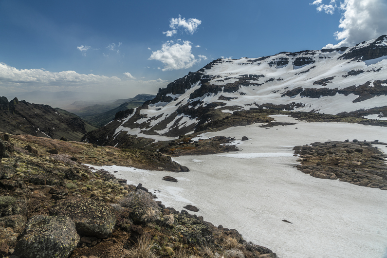
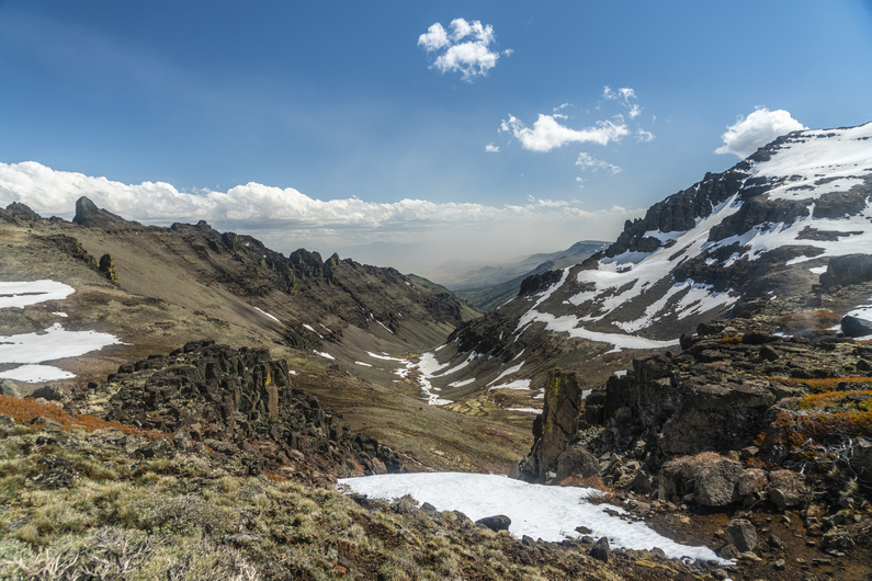

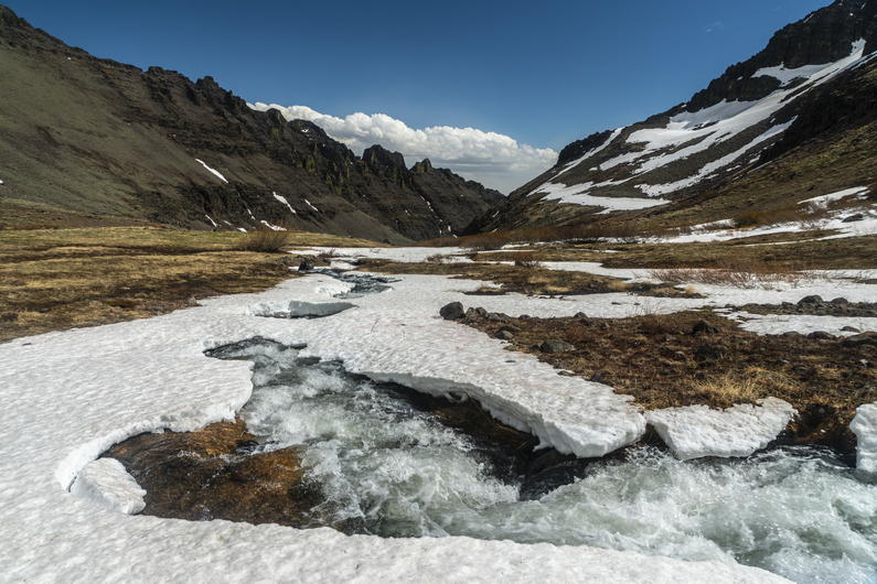

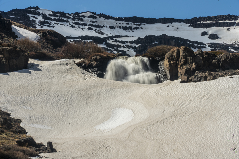

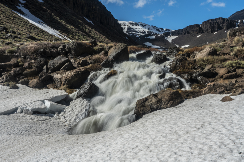

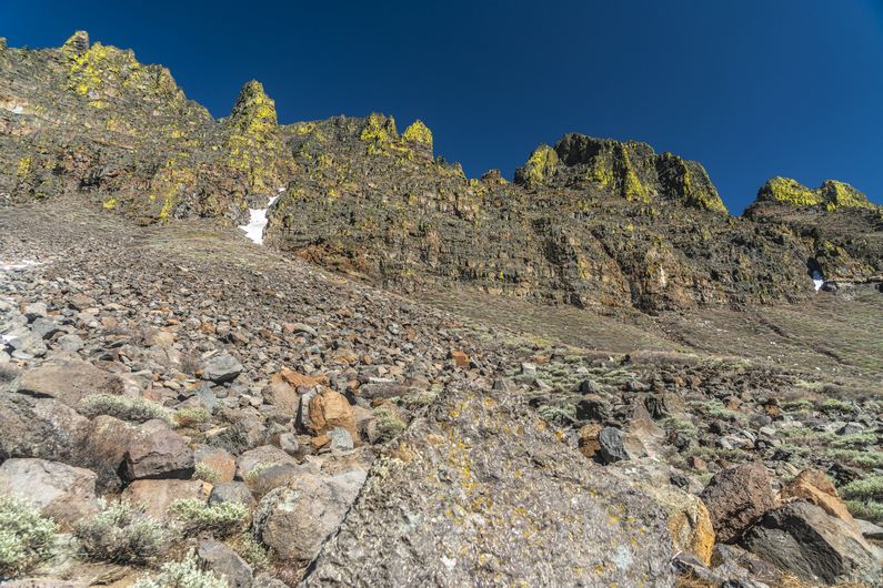


Eventually I reach the Radio Tower at the top of Steens Mountain, 9,733 ft. This is the highest point along the Oregon Desert Trail. The wiew down over Wild Horse Canyon is awesome. There’s a massive amount of snow in the upper basin, and Wild Horse Lake is completely frozen over. That’s where I’m headed next.
I stop for a quick break behind some of the radio equipment and eat some food. Then I look for a route down. This is one of those scenarios where It looks imposing from the top, but once you peek over the edge and start working your way down, the route looks very manageable. A few hundred yards below the summit, I see Donny taking a break in the boulders, and catch up to him.
We skirt the snowfields and take a route down to Wildhorse lake. We stand at the shore of the frozen lake, and watch water gush from the outlet. So much water!
Several waterfalls exist downstream from the lake. The wind blows so hard that some of the waterfalls is flowing up, instead of down!
The canyon walls are deep, steep and rugged. Many spires line the top. It’s an outstanding glacial canyon that seems out of place for the rest of Oregon. And it really is, that’s what makes the Steens unique.
Lower in the canyon, the bushwhacking starts. It’s a few miles of horribly thick sagebrush across increasingly steep slopes. Yuk.
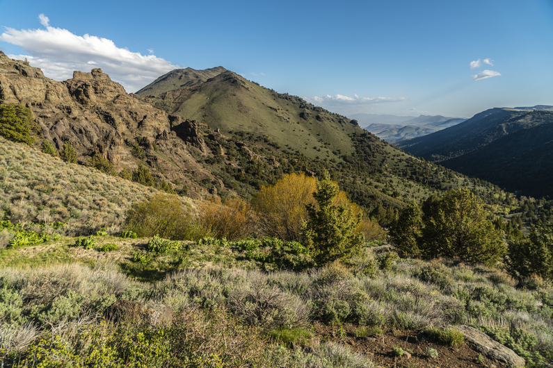


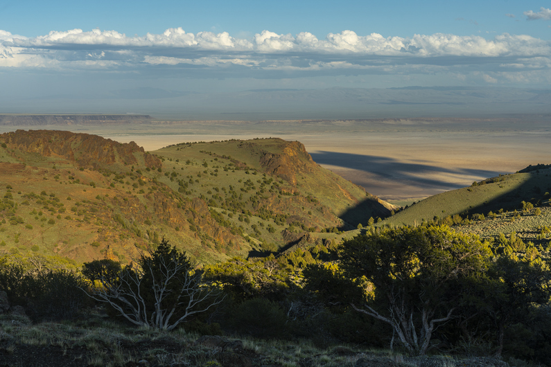
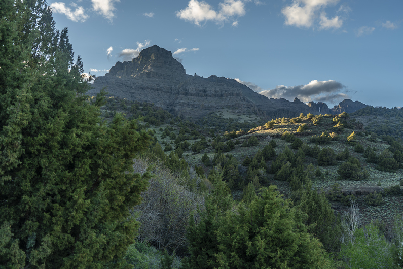
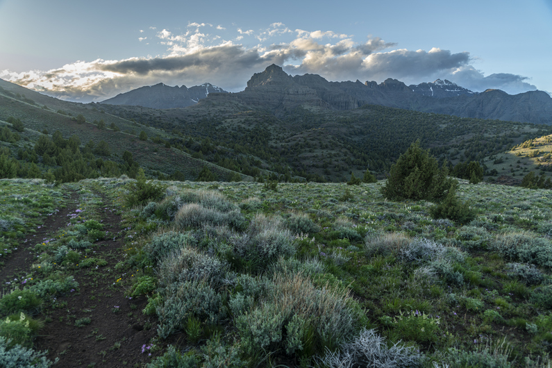

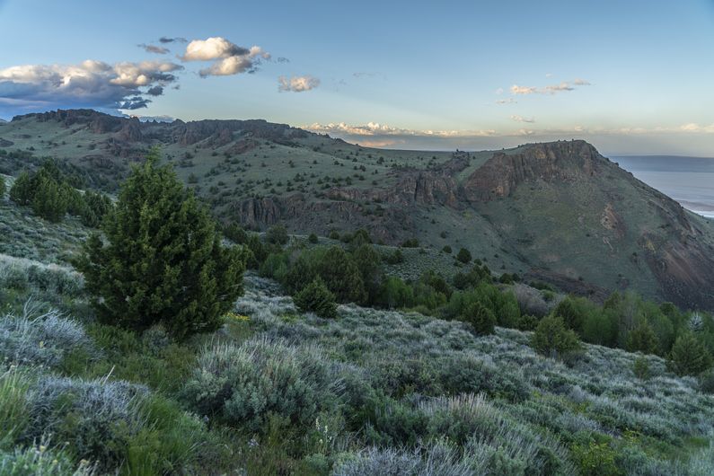
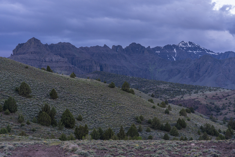

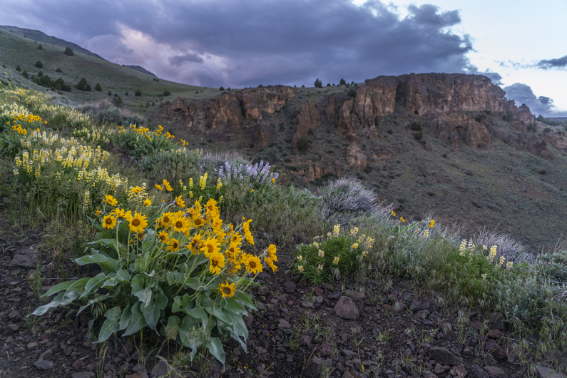
The route passes through some spires and hoodoos, and I find a chute up and over the ridge. Then I traverse a hillside leading up to a pass. A rock cairn marks the top. The wind is whipping here, I can barely stand.
I drop down into Indian Canyon on the other side of the pass. I filter some water from a small creek, and then stumble across an old 4×4 road. This is a pleasant surprise, the map shows the road much farther downhill, and I wasn’t expecting it here.
The hike through Indian Canyon is really nice. Every time I look behind me, I am more impressed by the view of the Steens. At times, I am reminded of Glacier National Park. And that’s not a bad thing at all!
The views over Alvord Desert are excellent as I descend the canyon. Many colorful wildflowers line the road. It’s getting late though, and I’m looking for a campsite. I shoot for a saddle, the last one before dropping down to the Alvord Desert. However, when I get there, I’m disappointed to learn there is nowhere to camp. So, I continue downhill.
It’s a steep road down, with nowhere to camp. Then I see a flat spot, and try to set up my tent. The high winds blow it over repeatedly as I set it up, and I am getting frustrated. So, I pack up my tent, and keep hiking downhill.
At the bottom of the hill, it’s full-on cow county. I find a subpar spot along a dirt road about 1/2 mile from the Alvord Hot Spring property, where it would cost $40/night to camp. No way!! I set up my tent by headlamp and finally call it a day. This was a long, difficult day.
ODT Day 25 Map
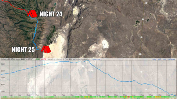
Day 26: Hiking the Alvord Desert
June 6th
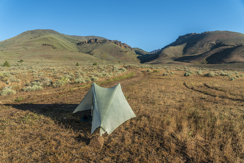
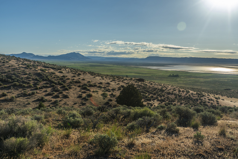


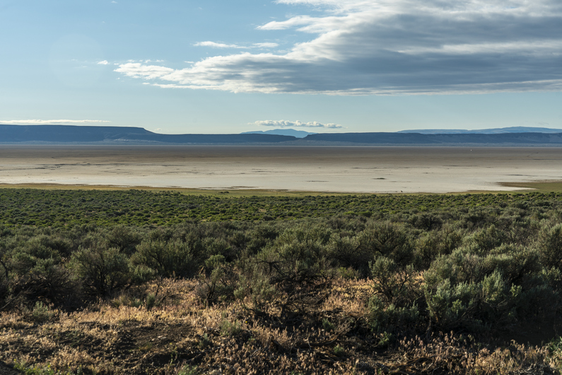


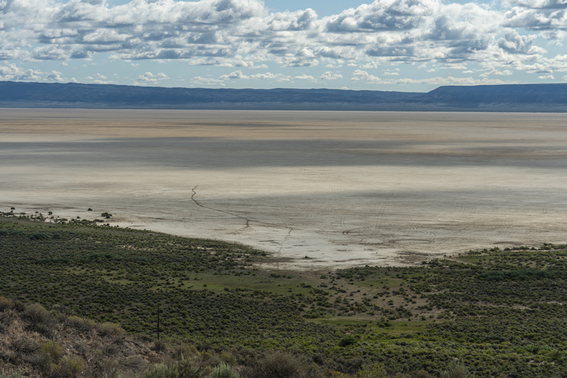
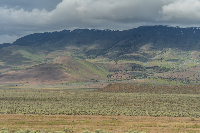
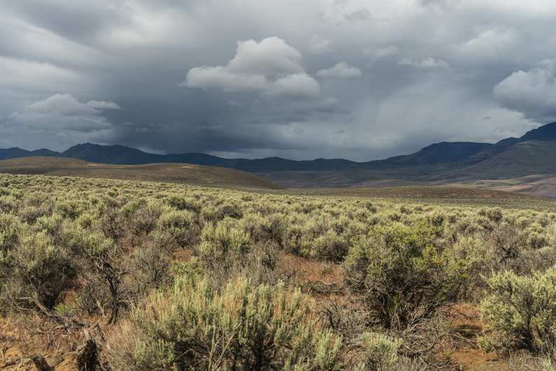
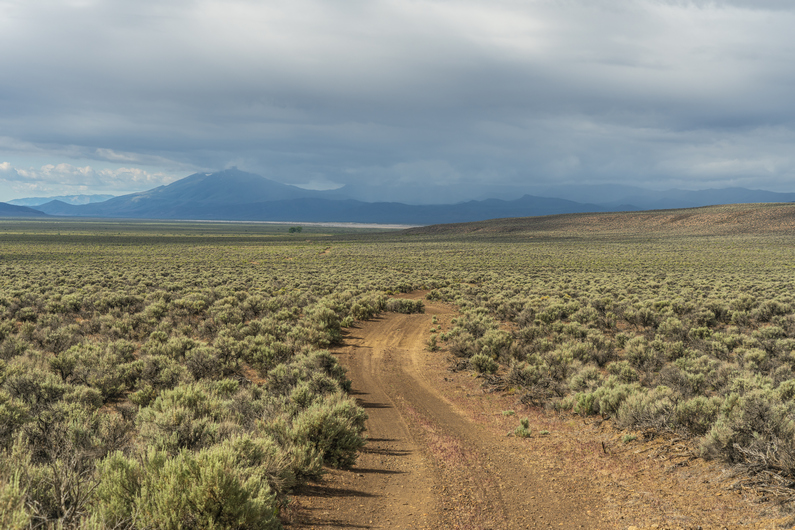
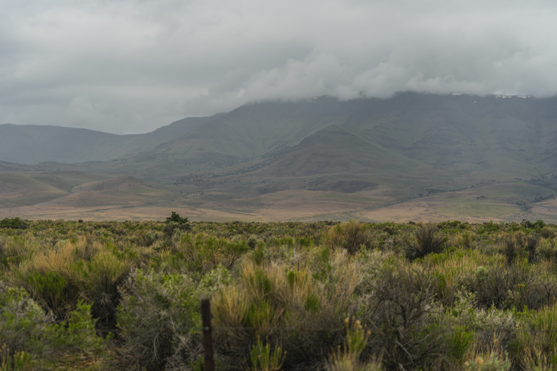


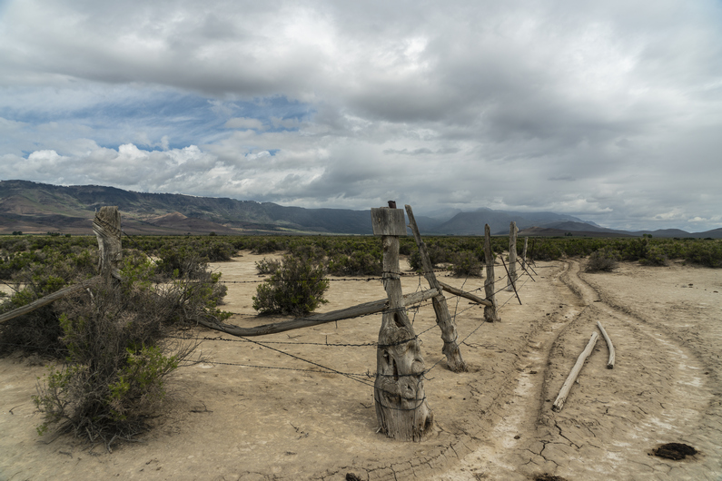
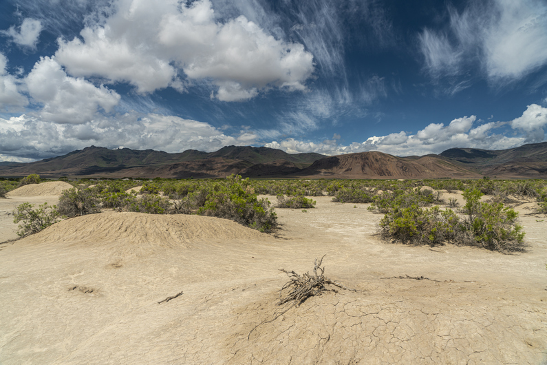

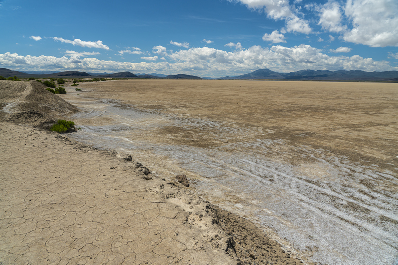
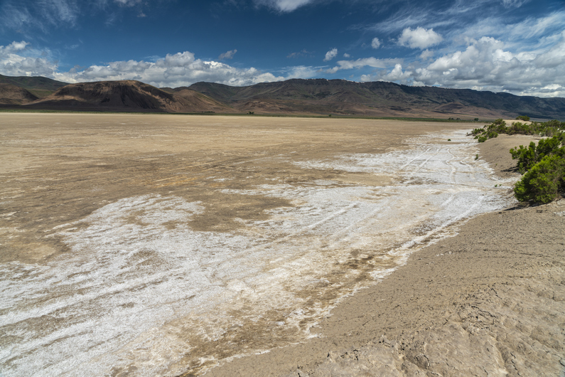
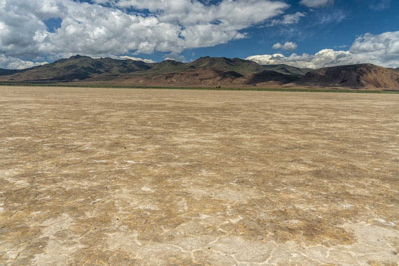
The cows moan like zombies and wake me up early this morning. I’m hiking by 6:45, probably a good thing since I have 25 miles to Fields. The cafe closes at 3:30, so I gotta hurry if I want a hot meal today. There’s a burger and milkshake waiting for me, but I gotta move!
I walk through the Alvord Hot Springs complex, and reach pavement. Behind me, the Steens look majestic with the clouds hugging the high peaks. Beautiful.
I get water from Frog Spring along the edge of the Alvord Desert playa. I continue south and hit some dirt roads, which I follow for miles along some ranch property. The skies darken and spit rain briefly, at odds with the weather forecast. Typical.
I reach Alvord Lake and walk the playa. The idea of hiking these dried lake beds was always a bit fascinating to me, but I don’t always trust the route will work out. I stay near the edge, with the memory of my Hart Lake crossing fresh in my mind from about a week ago. The playa proves to be solid, and a great walk.

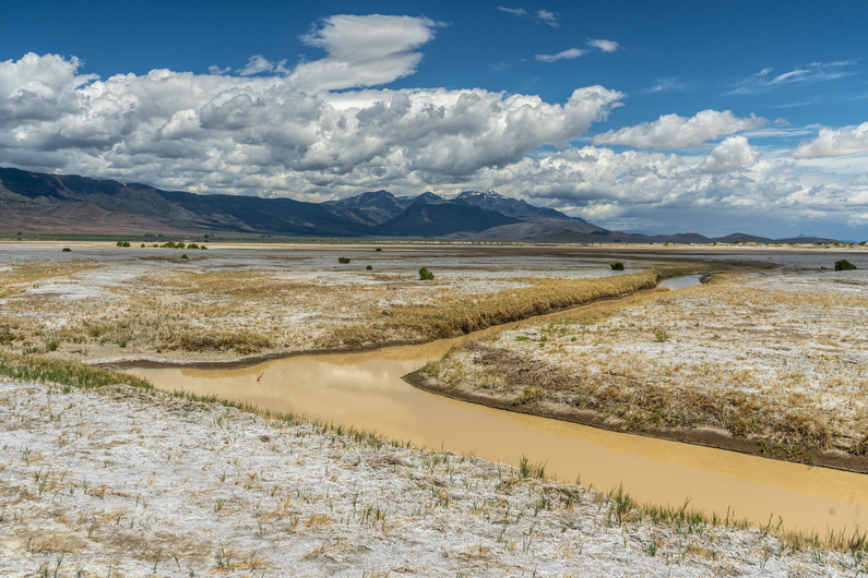
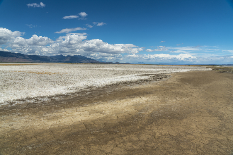

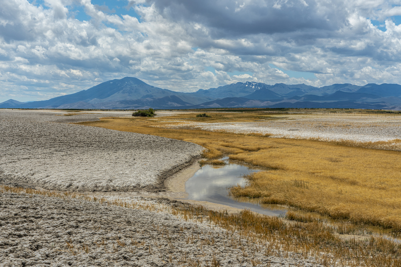
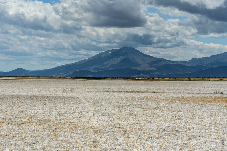

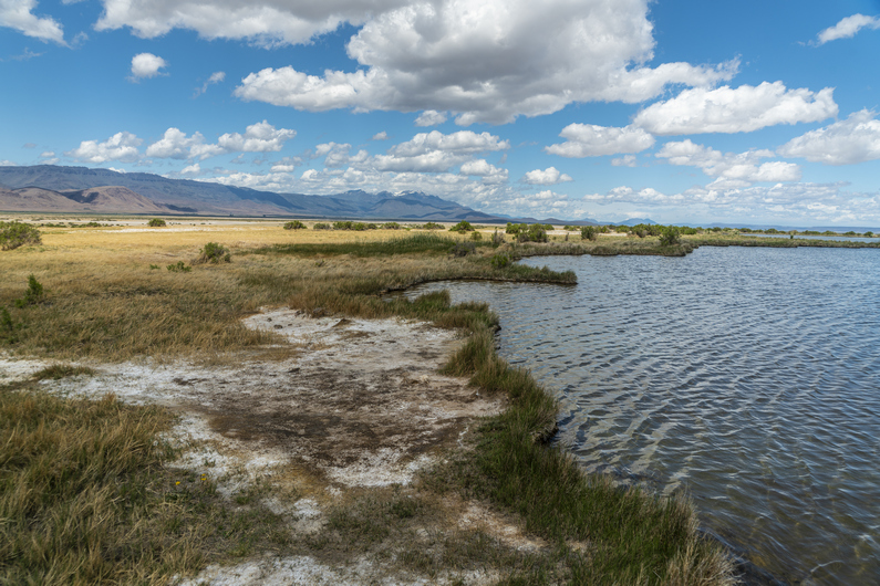
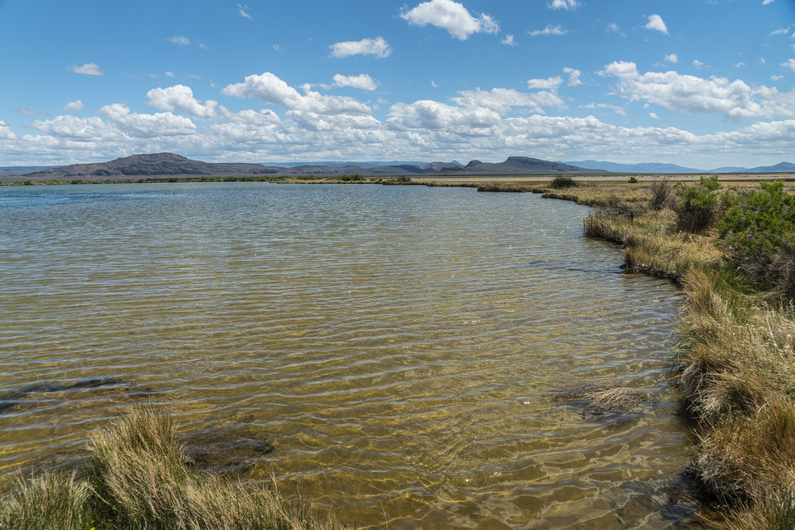
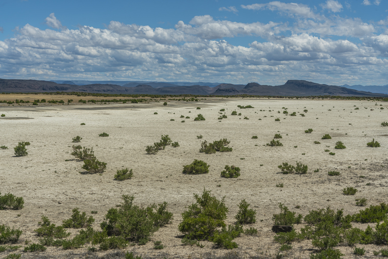
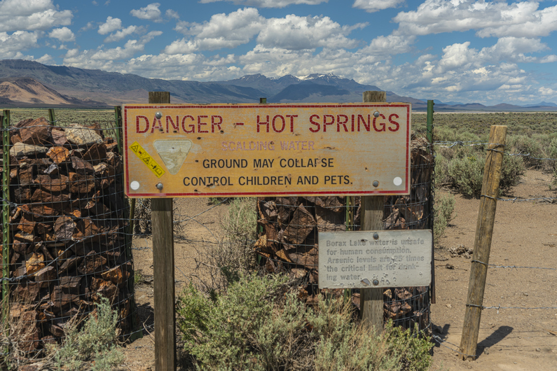
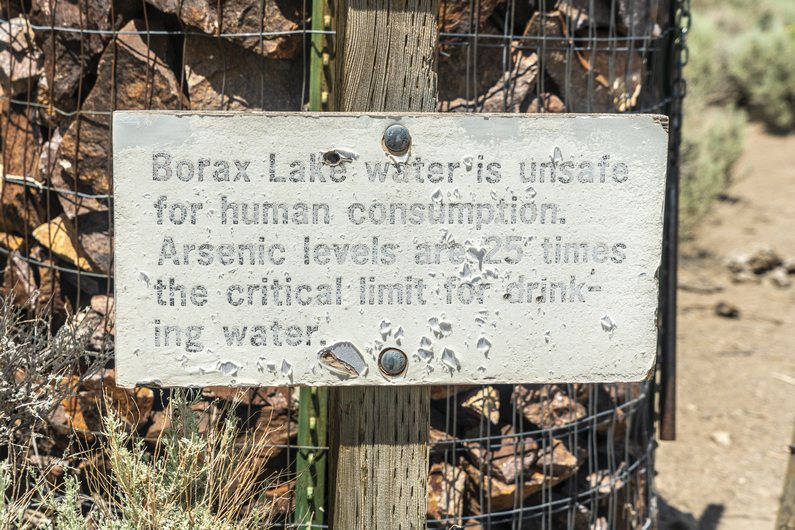
South of Alvord Lake, the enjoyment factor of the route deteriorates rapidly. No longer am I walking on flat, dried mud. Now, it’s looser and lumpier mud that’s softer, and covered with a white salty deposit. It’s similar to postholing through snow or walking through deep sand… slow, tedious and tiring.
In the middle of all this, I see a few wooden posts with red flags. Upon closer inspection, I see a film canister attached to the top. This is a mining claim marker. These posts are supposed to be on the four corners of a mining claim. Inside the film canister, there’s paperwork describing the mining claim belongs to Sierra Lithium LLC. This is a lithium deposit, presumably. But there is no mining going on here.
Continuing south, the route gets even worse. Now, there’s a lot of mud and water. It’s turning into a marsh. There are many braided channels and networks of water here, with no obvious way to go around them. It’s salty water and mud, which stings and irritates the skin. There are reeds knee-high, hiding more mud and salt brine. It’s an awful thing to walk through. And there is no reason for a human to be here, ever. I was truly dumbfounded that the ODT route purposely goes through here, when there are other options to avoid it… such as hiking across the Alvord Lake playa miles to the north. Too late for that.
With shoes full of nasty, foul smelling mud, I trudge through the remaining marsh lands. I stumbled out of the marsh and walk past a few pools of hot water. While I didn’t test the temperature, I could feel the heat from several feet away. I could only think how easy it would be to accidentally step into one of these while walking the route out of the marsh. Another reason I was shocked the ODT would go through this spot.
I reached a small dirt road and walked past borax lake, a “hot spring”. It’s a sizeable lake, and the water is just barely warm. However, it has 25x the safe level of arsenic for drinking or soaking. I didn’t know this at the time, and dipped my feet in the water with y shoes on to clean off all the horrible stinking mud. Not recommended, but I survived.
The slow hiking over the last few miles has threatened my ability to reach Fields before the cafe closes. Now, I have 6 miles to hike in 2 hours. No problem, but I’d like to get there 30 min before they close, just to be safe. So, I intermittently jog the rest of the way into town.
I make it to Fields at 3pm, plenty of time to get my burger and milkshake. It turns out, the grill is open to 4:15, not 3:30 as the ODT guide says. I wouldn’t have run those miles had I known this, which causes some sore feet and blisters on the tips of my toes. Especially after being wet and muddy!
I was planning on camping at Fields Station, which is free, but since I was covered in nasty, stinking mud, I got a room instead. Plus, I was feeling pretty wrecked, and was thankful to take a shower and the ability to clean my shoes and socks.
Donny made it to Fields at 9pm. I had ordered a burger and coke to-go for him, so he had this waiting for him when he arrived. What a pal, right?
ODT Day 26 Map
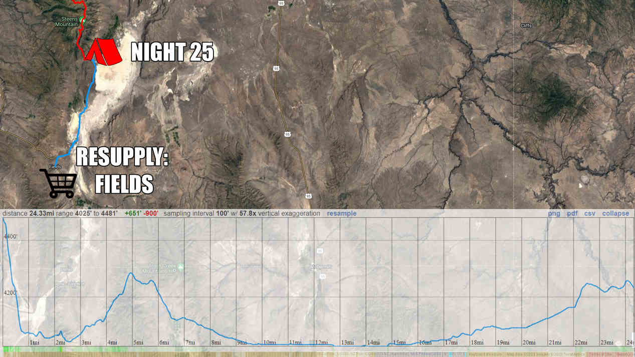
–> Continue reading Oregon Desert Trail Section 7: Fields to Denio (28 miles)
Back to Oregon Desert Trail Thru Hiking Guide & Journal index
Related Images:
Oregon Desert Trail Section 5: Plush to Frenchglen (2022 Thru Hike Journal)

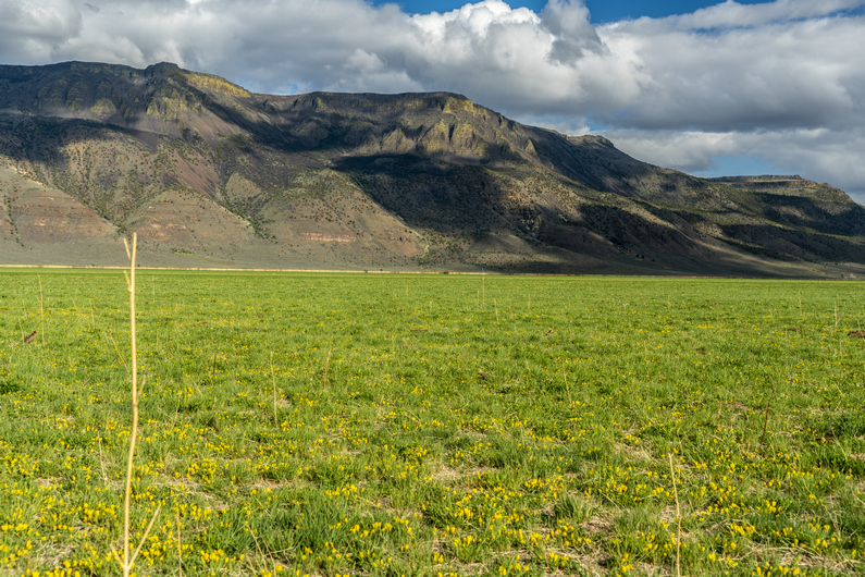
Day 18: Crossing Hart Lake
May 29th
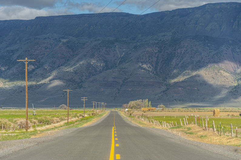
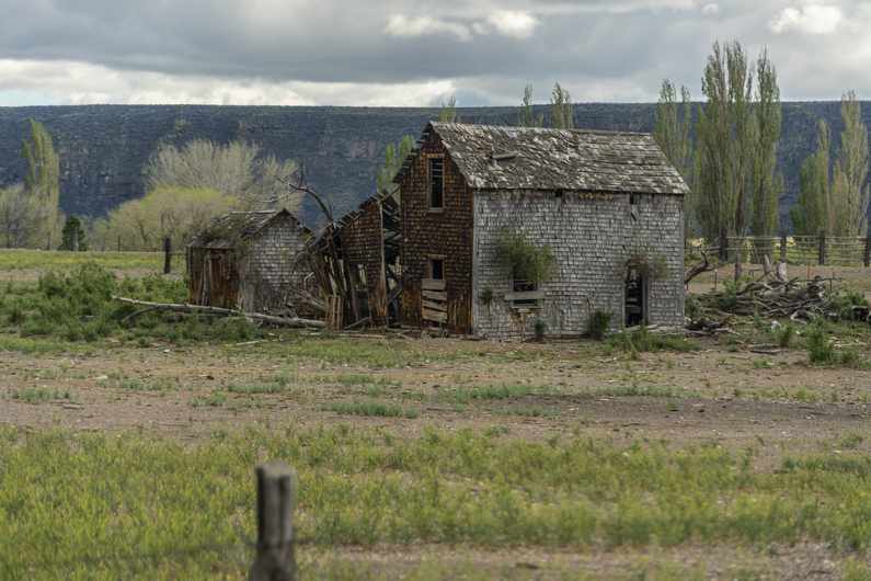
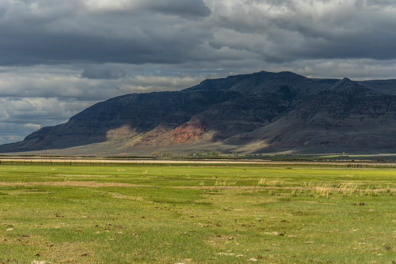
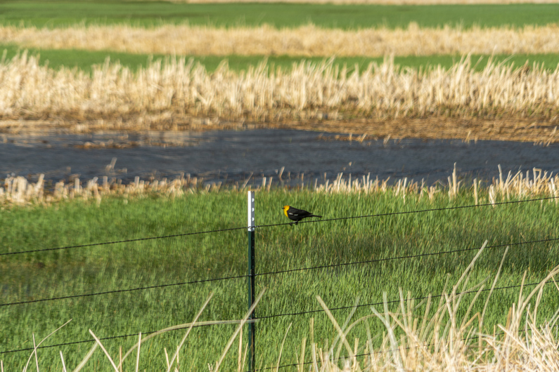
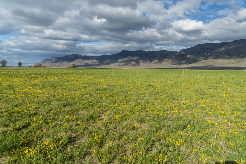
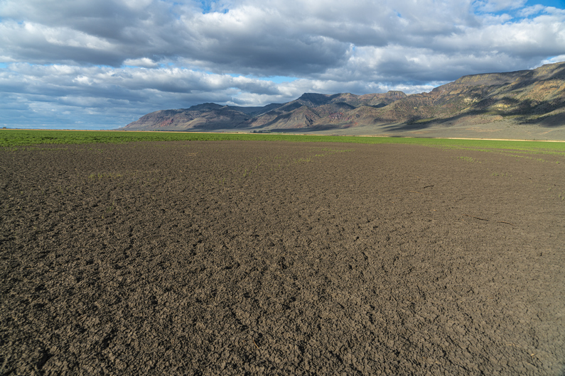

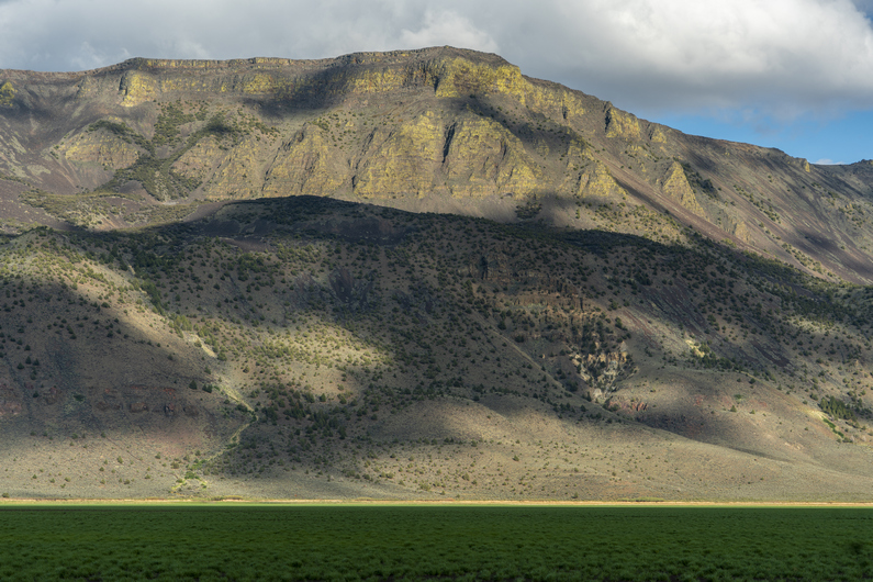


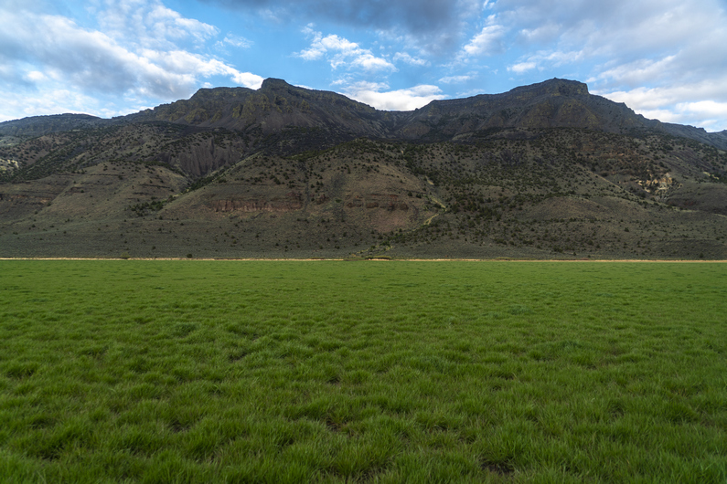
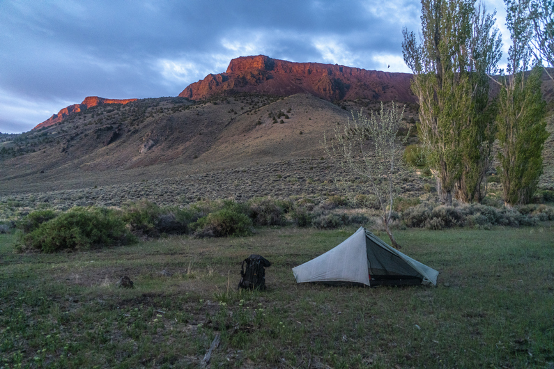
I left the Hart Mountain Store at 4:30pm. The first couple miles are on paved roads. With Hart Mountain as the backdrop, this is one road walk that’s tough to complain about.
Hart Lake is just one lake In a chain of lakes running through Warner Valley called Warner Lakes. When I reached the lake, I could see it was not what I was expecting. I thought it would dry mud or sand, but instead it was full of green grass.
As I neared Hart Lake, I ran into a guy named Alan who I met earlier today outside the Hart Mountain Store. He was out doing some section hiking on the ODT, and had been on the other side of Hart Lake and now driving back into town. He said it looked like we could cut across the lake to shave off a few miles, instead of road walking around it on the official ODT route. And that’s what it looked like to me as well. Sold, I’ll give it a shot.
The first bit of walking across Hart Lake was easy. Again, the backdrop of hart mountain was awesome. I chose a notch In the ridgeline on the other side of the lake to help keep my course as I hiked across it.
Towards the middle of the lake, it was becoming increasingly muddy, then pools of water. If it weren’t for yesterday’s rainstorm, or if it was the middle of summer, this plan probably would have worked out flawlessly. However, I had to backtrack towards dry ground and take a different route. Any time savings I would have realized have probably been wiped out by now. This is a perfect example of how the shortcut turns into the long cut.
I didn’t have to go back across the lake, though. I just had to backtrack to dry ground, then change my trajectory to the east more, instead of south. This route still cuts off miles from the original route, but one can’t angle too far south. Aim more for the east shore, north of the peninsula.
It was after 7:30 now when I reached the road on the east side of Hart Lake. Here, I took some time to clean the mud off the bottom of my shoes, clean my insoles and knock the loose dirt out of my socks. You know, like I do 10x a day on the ODT.
I hiked another mile or so before finding a pretty decent campsite nestled in the trees. I’m not going to find anything better than this, and I’m running out of daylight. Set up my tent, crawled into my quilt, and called it a day.
ODT Day 18 Map

Day 19: Hiking Up to Hart Mountain
May 30th

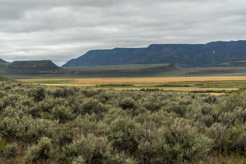


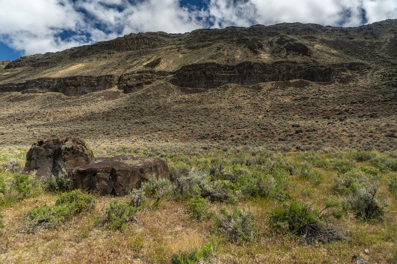
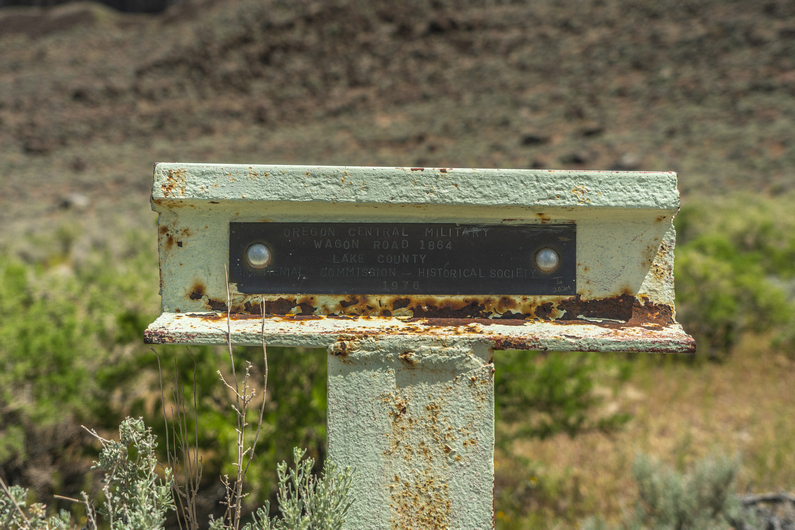
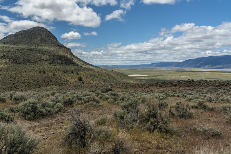


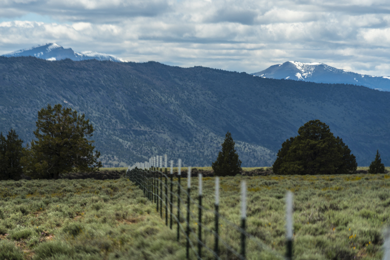
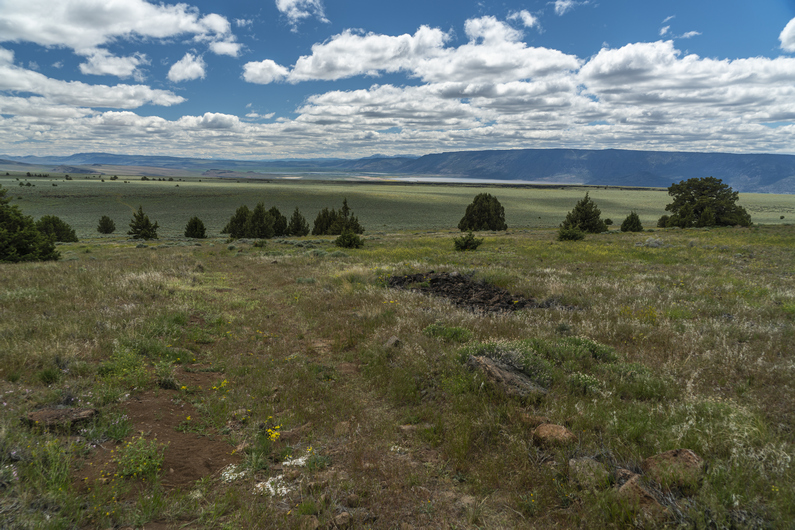

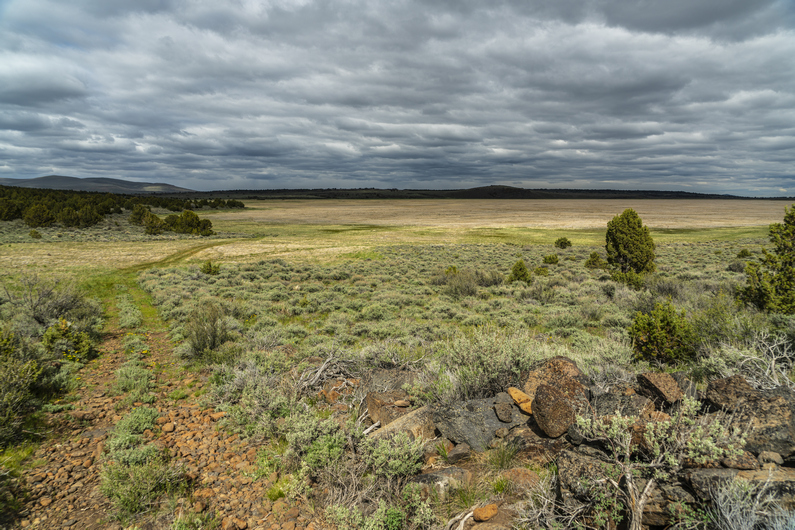


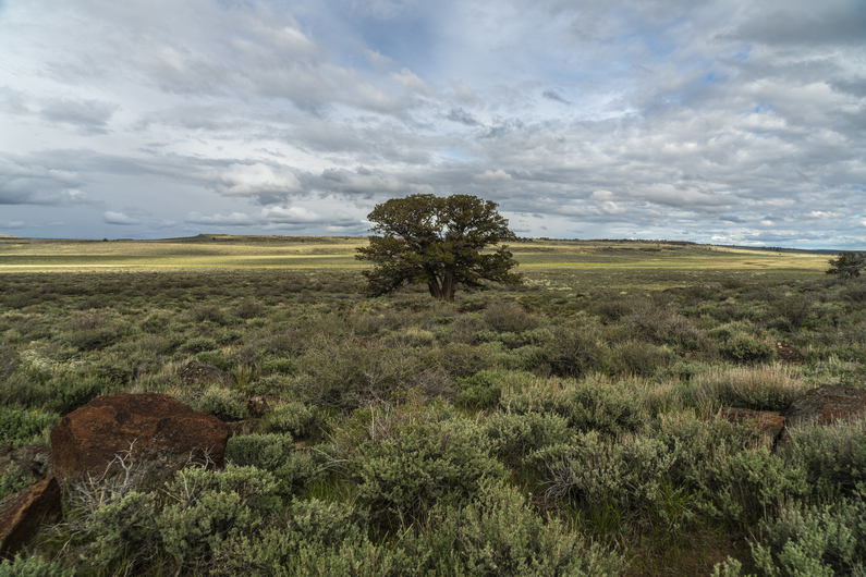
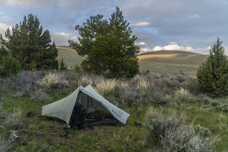
I was hoping to have the sun hit my tent this morning, but that didn’t happen. When I opened my tent, clouds were obscuring Hart Mountain. Another cold, windy and cloudy day. Lucky me.
I was pretty annoyed this morning with the persistent crappy weather that has been plaguing this region. This put me in a bad mood all day. By the time I packed up my tent, I couldn’t feel my fingers. It’s almost June. This is dumb.
I continued walking the dirt road around the shoreline of Hart Lake. I passed a gravestone from the Civil War era. A soldier who had died from wounds. This was pretty unexpected the way out here, far away from the battlefields of the Civil War.
It’s going to be a long hike up into the mountains today. The route follows a very rudimentary U-Shape, taking me roughly 11 miles in one direction, only to turn around and hike 11 miles back the other way. This was mostly necessary to gain the ridgeline of Hart mountain. I say mostly necessary, because I plotted out another route that I could have taken to cut off at least 6 miles. Of course, this would require some climbing up steep slopes, xc. I’ll have to get my eyes on that option when I get to the junction, later.
I reach an old homestead with a spring. I left Plush yesterday around 4:30 p.m. with 2L of water. I drank maybe half a liter of that to this point. Looking back, I should have got water here. Instead, I stop for some food and move on.
Behind this homestead is my potential shortcut route, near riffle canyon. It looks pretty feasible, but I opt to stay on the official Oregon Desert Trail route.
I follow the base of the mountains towards Fisher Canyon. The sun is coming out more now, and for the first time in a few days, I’m actually warm enough to wear shorts. At least, when I’m moving, It’s warm enough.
An old Oregon wagon road from the 1860s leads up Fisher Canyon. The views over Warner Valley and the dried Crump Lake are pretty nice.
Climbing out of Fisher Canyon, there’s a small rocky ridge to the north. The ODT route continues to go all the way around this, but If I Just climb up about 250 ft over a half mile, I can cut off a mile and a half. It’s an easy cross-country walk that takes 10 minutes, saving probably a half hour or so. And the latter half of the shortcut is on old, faded 4×4 roads. This one’s a no-brainer.
The views over Warner Valley from here were my favorite of the day. I stopped here for lunch. However, every time I stop, It’s just so cold. I put my pant legs back on, and add a few layers again.
Next I cross a valley on the west side of Wool Lake. Dry, of course. They all are. Nice hiking here.
I go up over a small ridge and drop down into another valley. I hike across this, up over a small pass, and drop down to a big flat. Here, I see my first pronghorn of the hike in the grasslands below.
Walking through Big Flat, I come across an old homestead. This one is a little more extensive than the one I saw this morning. Besides the main house, there are a few barns and other structures. The house itself had a fireplace, with a wood mantle inside. However, It was pretty dilapidated. Not only the typical holes in the walls and roof, but It was home to many birds nests and even some cows, who had been crapping In the bedroom. Won’t be staying here tonight.
Next, I encountered Warner Creek. I wasn’t sure if I could cross it without getting my feet wet, so I decided to stop here and filter water first. That way, if I do get my feet wet, I won’t be standing around water afterward, I’ll be moving and warming them up.
I was able to cross the stream by hopping across some soggy patches of grass. Whew. Just sitting there filtering water, I was chilled to the bone. The weather forecast for today was 50° in Plush. Add another 1500 to 2,000 ft And that drops to 40°. Then add 15 to 20 mile an hour winds and the lack of sunshine due to the constant clouds, well, you do the math. Weather math. That’s cold! And I’m pretty tired of it.
A few miles up, I encountered Box Creek. I had to take my shoes off to cross this one. No way am I going to get my shoes wet, just an hour and a half before camp. I don’t want to put on cold wet shoes in the morning. Plus, my feet were still pretty tender from walking all day in the rain 2 days ago. Sometimes you gotta make smart decisions.
Next, I passed Guano Creek and Post Meadow. It’s almost 7pm now. My stomach Is feeling a little upset, and I’m not feeling like hiking much farther. I find a camp spot away from the road with a good view, but a little exposed to the wind. I’m pretty tired and ready for camp, so I settle for a lumpy spot. With 25 miles hiked today, I feel pretty good about my progress. Still, I didn’t catch up to Heavy Teva or Donny. There’s always tomorrow. And it better be warmer, damn it!
ODT Day 19 Map
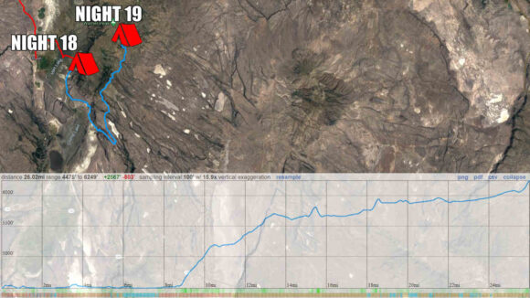
Day 20: Hart Mountain Hot Springs
May 31st

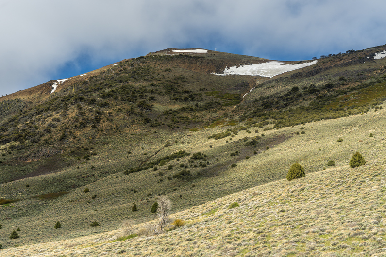
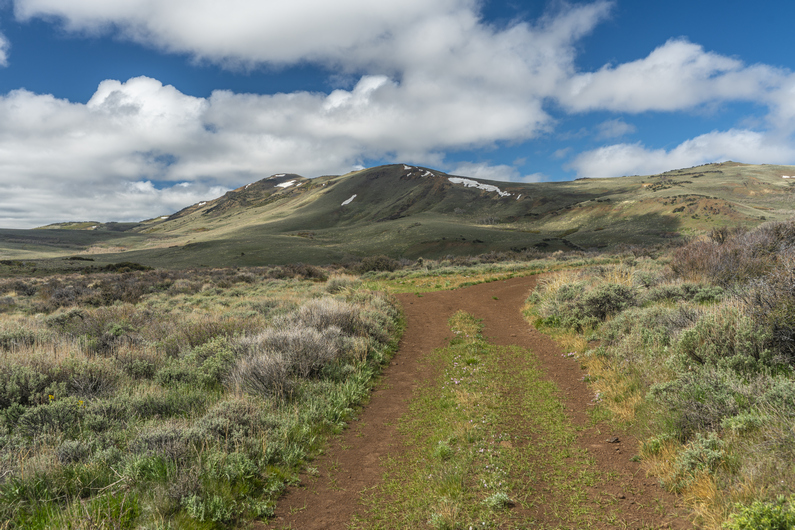
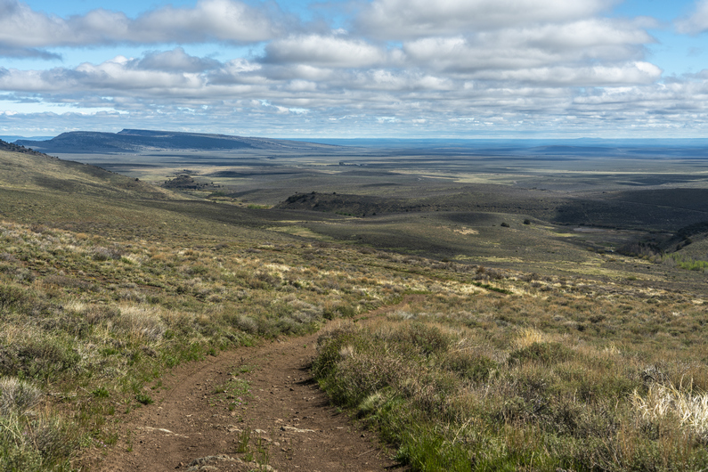
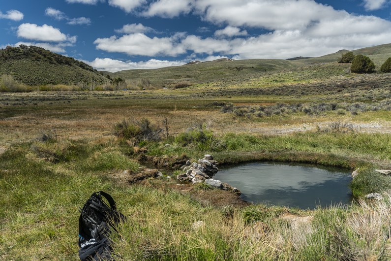
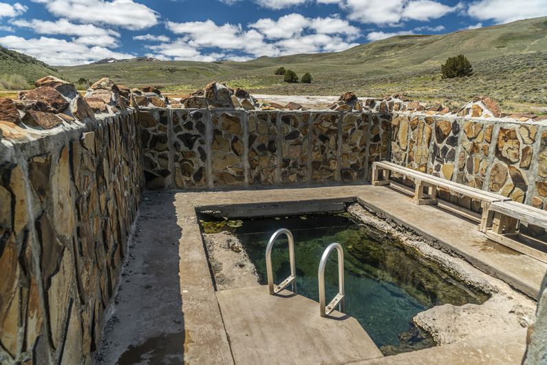
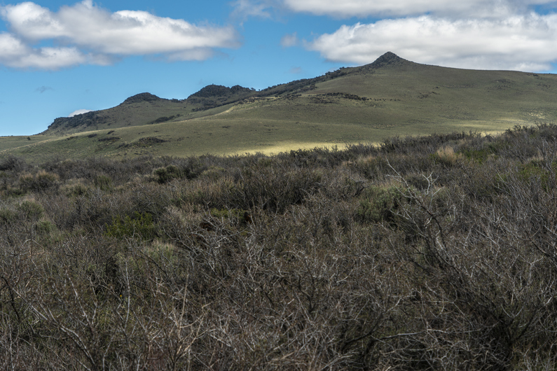
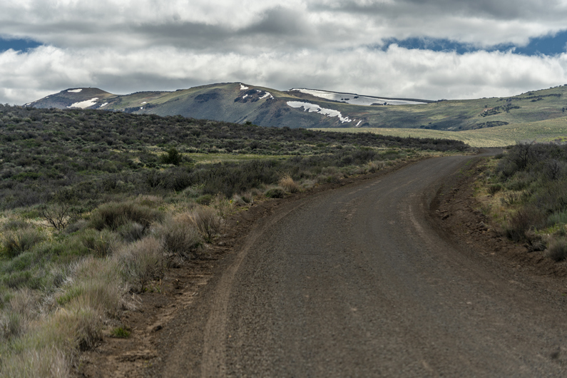

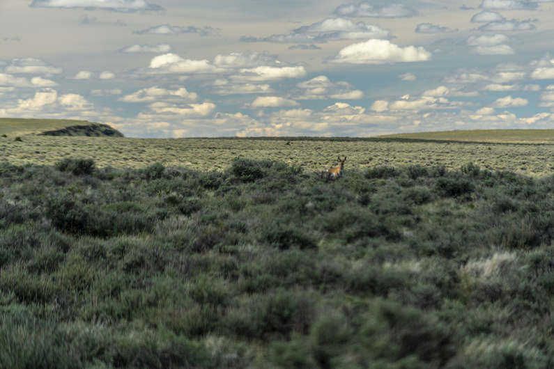


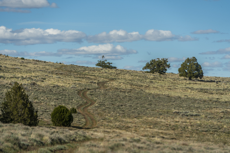

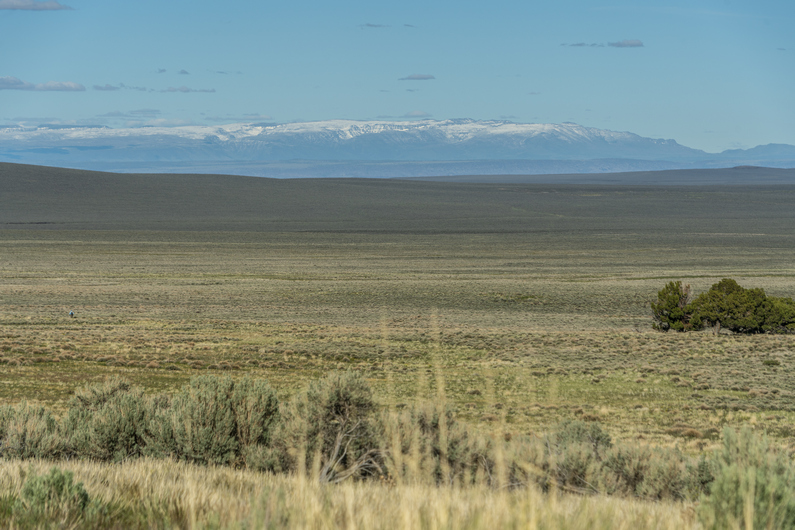


When I poked my head out of the tent this morning, I was disappointed to see that the sky was still cloudy. It did feel a bit warmer, though. I even had condensation in my tent, which was surprising considering the fact that I was up high on a hill and exposed to the wind.
Started hiked at 8:15. It’s been nice not feeling rushed to start any earlier. On the CDT, every day I felt the pressure to cover miles. But not here. What’s the hurry? To get 30 instead of 25? Seriously, who cares.
Hiked up Guano Creek after breaking camp. It was surprising to see pit toilets along the road, even if they were 50 years old. They were missing the doors, and even the walls. A toilet with a view, nice.
Reached the top of the pass, having climbed about 700ft. The views now were pretty so-so. In fact, ever since climbing out of fisher canyon, it’s been just ok. It makes me wish the ODT was routed along the top of Hart Mountain, instead of along the base of it. Surely, the views from the top would be impressive!
I descend the pass and hike a few miles to hot springs campground. There are about 5 vehicles here. I head over to the Hot Springs, and see Donny in one of the pools. It’s not long before I drop my pack and join him. This pool was pretty warm at first, but quickly becomes just the right temperature.
Donnt and I discussed the events of the previous day and a half, since I had last seen him in the Hart Mountain Store in Plush. It turns out, he camped about a half a mile up the road from where I camped last night. Heavy Teva had made it here to the Hot Springs Campground last night, and had taken off early this morning.
After soaking in this pool, we moved over to the main pool. This one had a cement wall around it, among several other improvements; cement ground around the pool, ladder, wooden bench etc. It was too deep to sit in, but just right to stand up in. Probably not as warm as the first one we soaked in, but still very nice.
A cool water creek flowed just outside the walls to this hot spring. I filtered water here, set up my solar panels in the sun to charge electronics, cleaned my socks, shoes and pant legs as these were all covered with dirt and mud. I ate lunch as I waited for this stuff to dry. After eating his lunch, Donny hit the trail again sometime after 12:30. I ended up staying until 2:00, as my shoes took a long time to dry.
I was in a great mood as I walked away from the hot springs campground. I’m clean, the temperature was perfect, and it was mostly sunny for the first time in days. It was a dirt road walk, but because of the above, It didn’t matter. I just felt good.
I reached the Hart Mountain Visitor Center around 3:30, and filled up 6L of water here. It’s 40 miles to the next water source, at Miller Place.
After leaving the visitor center, a large dirt road leads to a smaller dirt road, which eventually leads to an even smaller one. For the first time along this hike, I’m seeing a ton of Jasper on the ground now.
I’m walking the base of Poker Jim Ridge now. I stop for a quick dinner break at 5:00, about 15 minutes after I start walking again, I see Donny In the distance. It looks like he has stopped for a break. I catch up, and sit with him for a minute. We discussed the logistics of when we’ll reach Frenchglen for resupply. From the Visitor Center, it’s 63 miles to Frenchglen. We will probably knock off another 10 miles this evening. The route ahead looks flat and easy, along dirt roads. It also looks fairly boring. We are both thinking big mile days are possible here. It’s Tuesday evening, I’m thinking late Thursday, or at the worst, get into town early Friday morning and nearo.
I go ahead of Donny, and the road quickly fades from here as I reach Rock Creek. It’s a pretty crappy bushwhack through Sage brush and a ton of larger boulders strewn about in the soft sand. I gave up on the road and just started hiking cross-country.
The route along Rock Creek was not any better. In fact, it was probably worse, but there was no road to follow. It’s going to be off-trail hiking either way. The soft sand was terrible. There were also many burned log stumps barely sticking out of the sand to trip over. Miserable.
After hiking xc 2.5 mi along Rock Creek, I reach a dirt road. However, this ODT route does not take this road. It continues cross-country for another 5 mi. At this point, I have no interest in doing that. It looks like the road on the map meets back up with the ODT route again, but will add about 2 miles. At this point, I would rather hike an extra 2 mi then do any more xc hiking through that deep sand obstacle course.
I followed a very old and faded dirt road, which was mostly sand. The sun had just gone down below the horizon, and I had not seen anything even close to resembling an acceptable campsite. Just sage and sand. But then, alongside the road, I saw an area clear of sage. It was very flat and level, but had many rocks sticking out of compacted mud. It was very solid, not loose sand like everything else. So, time to dig out all the rocks and made myself a pretty good campsite. Good thing too, it was after 8:30 now and there wasn’t much daylight left. The final fading rays of sun colored the cloudless sky a beautiful pink hue. Desert sunsets are always special.
ODT Day 20 Map
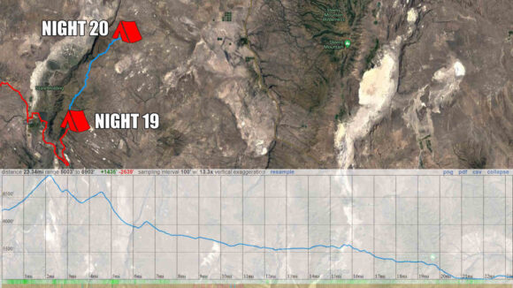
Day 21: 40-Mile Water Carry
June 1st
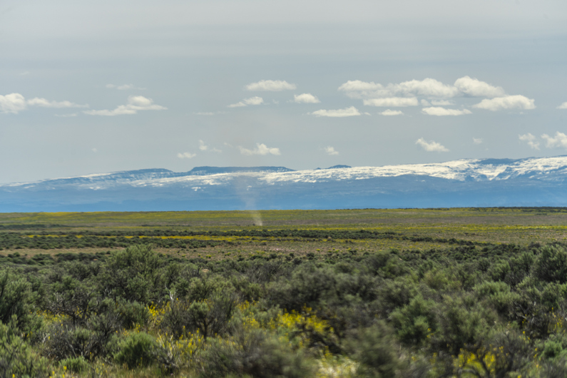
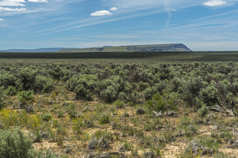
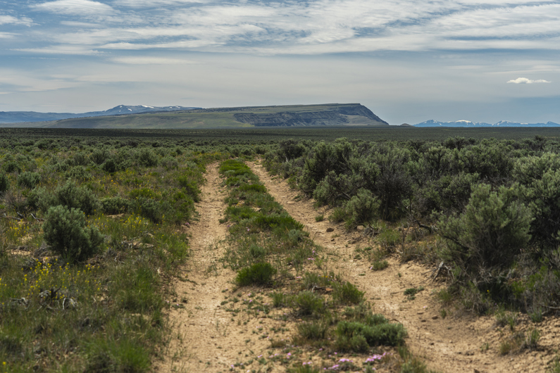


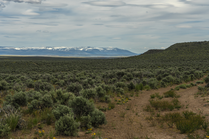
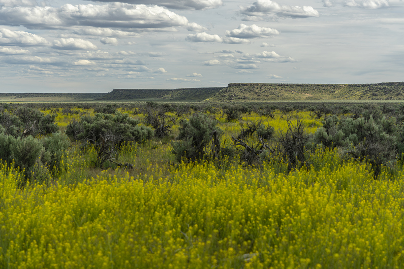
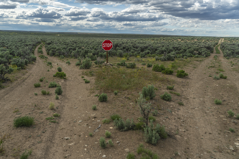
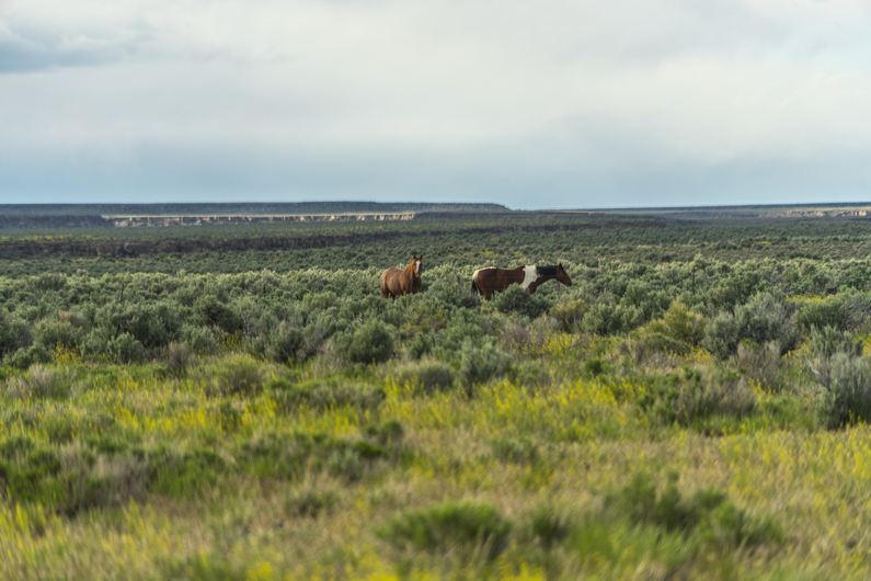


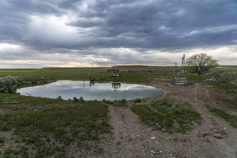

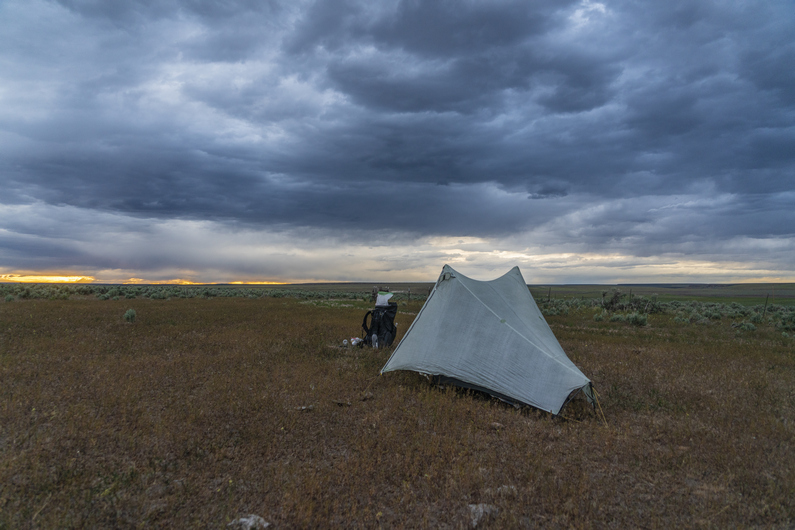

Woke up this morning and put shorts on right out of bed for the first time in a while on this hike. That’s what I like, waking up to shorts weather! I’m pretty sure I heard a wolf howling last night. I wouldn’t have believed they are in eastern Oregon, if it weren’t for the locals in Christmas Valley telling me they are here. And now to hear one for myself. That is cool.
This morning, I continued walking a very faded, but halfway decent 4×4 road. At the junction where I turn north, the road turned to shit. Figures, I’ll be on this one for 3.5 miles. It was all soft sand, and the road had pretty much faded away.
After meeting up with the official ODT route again, I was on another pretty crappy dirt road. There’s nothing but sagebrush around, It’s very flat and beyond a couple of distant landmarks. It was incredibly boring. It reminded me a lot of the great divide basin in Wyoming on the CDT, but with way shittier roads/route.
There was another road junction, where the road pretty much disappeared. Very frustrating to be looking at a road on the map, and then end up doing cross-country hiking when you get there. I was getting pretty frustrated with this section of the ODT. Everything after the Hart Mountain Visitor Center.
I went over a hill and saw Donny around noon. He was eating his mashed potatoes for lunch alongside the road. I sat down and joined him, and we swapped stories about how much we were hating this section. Endless sage, shitty deep sand xc hiking, no views of anything.
We hiked together for another 2 hours. I found a large obsidian Arrowhead in the road, or perhaps a knife; It was missing the tip and the base, so I couldn’t tell what it was for sure. It was about 5 in long though, a very good size.
We parted ways around 3:30. I wanted to knock down some miles today, so I put it in high gear. My goal is to reach Miller Place, the next water source and end of the 40-mile water carry. It’ll be close to a 30 mi day for me, by the time I reach it.
The rest of the afternoon was pretty uneventful. I jammed out to some music, put my head down, and thought about anything other than my current situation. These are the stretches of long distance hiking that people gloss over when recalling their adventure. The less than glorious times, the awful times. At least here, I had a pretty decent road to walk now.
I reached a random stop sign at a road junction. It’s been over 30 miles of hiking since I was last on a road that deserved a sign of any kind, and these roads didn’t look like they warranted signage either. It’s probably another 27 miles to Frenchglen from here, and Frenchglen only had a population of 12. Indeed, this stop sign seemed out of place, useless and downright comical.
Not far after the stop sign, I missed a turn. I kept going straight through this nearly impossible to open gate, which I just crawled under. When I looked back, there were two wild horses behind the gate. I’m surprised I didn’t see them while crawling under the gate, they must have been close. This is when I realized I shouldn’t be here at all. I had to backtrack and go through the same gate again. At least it allowed me to get pretty close to the horses.
It was 6:00 pm now, and I had a 6-mile slog ahead of me to Miller Place. The clouds were building behind me, and looks like rain. I pass Mud Spring Reservoir, which has plenty of water, but is best suited for the cows that were standing in it. I’ll wait for Miller Place.
I reached the abandoned homestead at Miller Place and saw a large pond. There’s also a windmill, Which now appeared to be powered by an electric pump. There was plenty of good clean water here, and I could access it via spigot. The ODT water chart says that Miller Place is privately owned, by Rock Creek Ranch, and the owners have given permission to draw water here.
I walk up a small hill and leave the Ranch Property. Immediately on the other side of the fence, I see a good campsite. Clear and flat. I’m pretty tired, and this looks good enough to me.
I set up my tent and filtered water. While getting situated in the tent, I noticed a tick on my leg. This is the first tick I’ve had the ODT. It was just crawling on me, it was not burrowing yet. I treated all my clothes with permethrin before the hike, but I had none of these clothes on inside the tent. Unfortunately, I’ve been having issues with the zippers on the mosquito netting of one side of my tent vestibule, and I have not been able to close that side of the tent along this hike. That means bugs can just crawl right into my tent. I tried using the pliers on my Gerber dime multi-tool to clamp down on the zipper pulls, but the tiny little pliers don’t have enough force. All I can really do Is lay my permethrin-treated clothes alongside the tent on the outside, below the zippers for the mosquito netting, to hopefully prevent any ticks from crawling inside while I sleep. If I can get any sleep now.
Glad to be done with this day. A lot of effort expended with very little to show for it. At least I’ll be able to reach town tomorrow. I’m ready for a zero-day.
ODT Day 21 Map
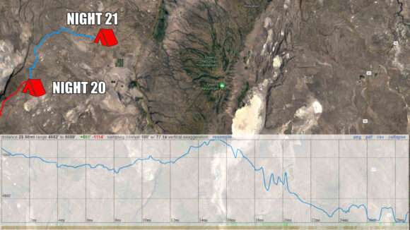
Day 22: Resupply in Frenchglen
June 2nd

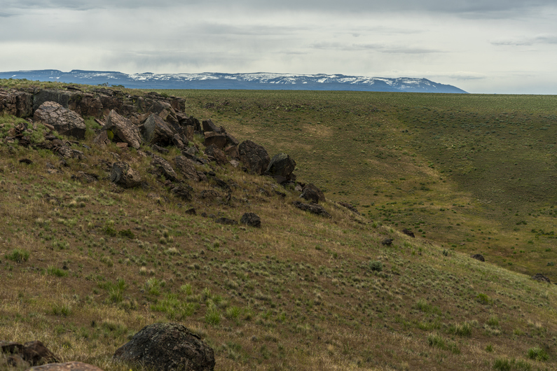


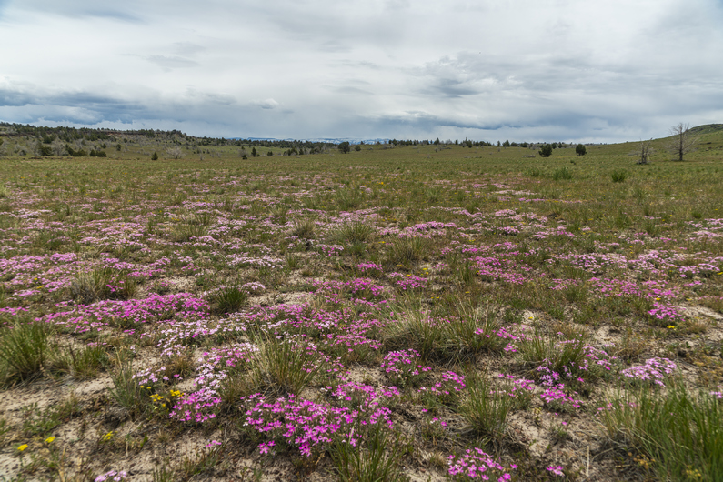
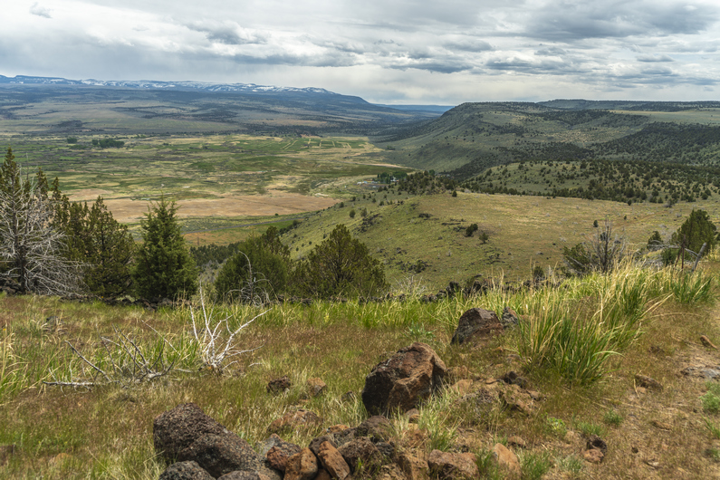
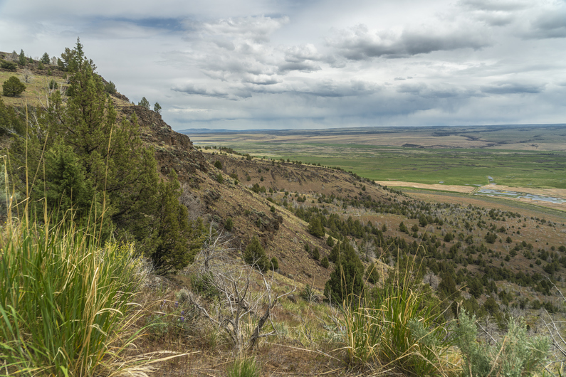


The cows were moaning like zombies just outside my tent after sunrise. Made it through the night with no ticks crawling inside my tent. Success.
I continued to hike a dirt road along some power lines. Mind-numbingly boring. It’ll be about 20 miles into town today. The faster I can hike this, the better.
I missed a turn-off for a cross-country segment, which resulted in more cross-country hiking to meet back up with the route. I had a couple of miles of deep sand and Sagebrush ahead of me. Furthermore, I was thinking it was going to be all dirt roads into Frenchglen today, So I was pretty annoyed with the xc. The cross-country segment was simply to avoid a private ranch. On the ODT, it seems like there’s always a ranch to walk around.
After hiking around the Ranch and meeting backup with another dirt road, I discovered a shortcut; follow the fence line east at waypoint 239, meet up with a road, follow this above Waterhole Canyon to waypoint 247. Looks to shave off about three and a half miles. Perfect.
There was a cow path along the fence line to follow, then I met up with a very solid dirt road. I walked this briefly before leaving it for a smaller dirt road. This road still was an easy walk, and it was becoming more scenic as well as I approached Frenchglen. My alternate route here stays high above Waterhole Canyon, which is fairly scenic on it’s own, but I think it would be worth hiking down in the canyon if I were to do it again. There looks to be a dirt road down there, roughly the same distance, and there looks to be a creek flowing though it.
I looked it down and saw a bull snake, or perhaps a gopher snake, slithering across the road. Non-poisonous, non-threatening. I took a moment to watch him slither through the purple flowers, sage and rocks. No, snakes don’t scare me.
The final 5 miles into town were increasingly scenic. Sagebrush gives way to grass, plains turn into rocky canyons and cliffs. Finally, over the last hill, the town of Frenchglen is in sight.
The views over Blitzen Valley and the Malhuer National Wildlife Refuge were really nice. Looking back at the cliffs that do down to the valley are equally impressive. The last few miles into Frenchglen were a really nice way to end this section, on a better note.
I hike into town, stop at the mercantile store forest for a cold drink, and to scope the food selection. Not too much, and no microwaveable foods or anything hot. Bummer.
Next, I stop at the Frenchglen Hotel and inquire about a room for the night. All booked, but the Drovers Inn had one room. $145 for the night, which is more than I want to spend. But they offer it to me for $120, and as whooped as I am, I take it.
I didn’t really want to spend $30 on pot roast dinner at the hotel, so I picked up some beers from the mercantile, as well as some junk food. A hiker trash dinner for sure. Got a hot shower, did sink laundry, and just relaxed. Ahhhh. Done with another section.
ODT Day 22 Map

Day 23: Zero Day in Frenchglen
June 3rd
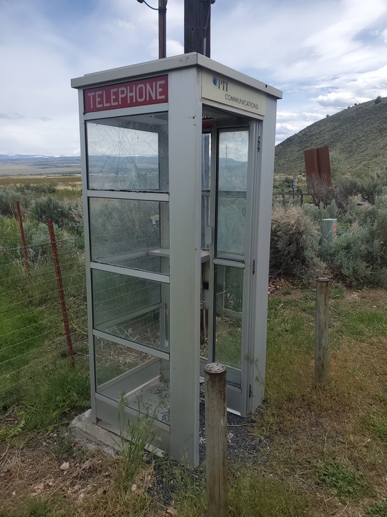
Donny got into town early morning, as I finished breakfast at the hotel; Delicious pancakes, bacon and sausage!
There were no rooms available tonight at the Frenchglen Hotel or the Drovers Inn, so we got a ride from a couple from Portland over to the Steens Mountain Resort, where we had sent our resupply boxes. It’s a RV park with tent sites and cabins. We got a cabin for the night, which was a great call vs tent camping, since it will rain tonight/ tomorrow morning.
I borrowed a pair of pliers from the owners to crimp down the zipper pulls on my tent, since they were not closing. This worked, and I fixed all the zippers on the outer fly and the inner mosquito netting. Awesome, a fully functional tent once again. Well, for a little while.
I also borrowed a needle and thread to repair a strap on my backpack. One of the shoulder straps was repeatedly coming loose, and needing constant adjustment. The strap material was wearing down and becoming too thin for the slider to keep it in place. So, I pulled the lower part of the strap in place, folded it over on itself, and sewed it together to prevent it from sliding. The upper strap can still allow full adjustment of the shoulder strap. This worked well, another easy fix.
–> Continue reading Oregon Desert Trail Section 6: Frenchglen to Fields (63 miles)
Back to Oregon Desert Trail Thru Hiking Guide & Journal index
Related Images:
Oregon Desert Trail Section 4: Lakeview to Plush (2022 Thru Hike Journal)


Day 16: Crooked Creek, Fremont NRT to Vee Lake
May 27th
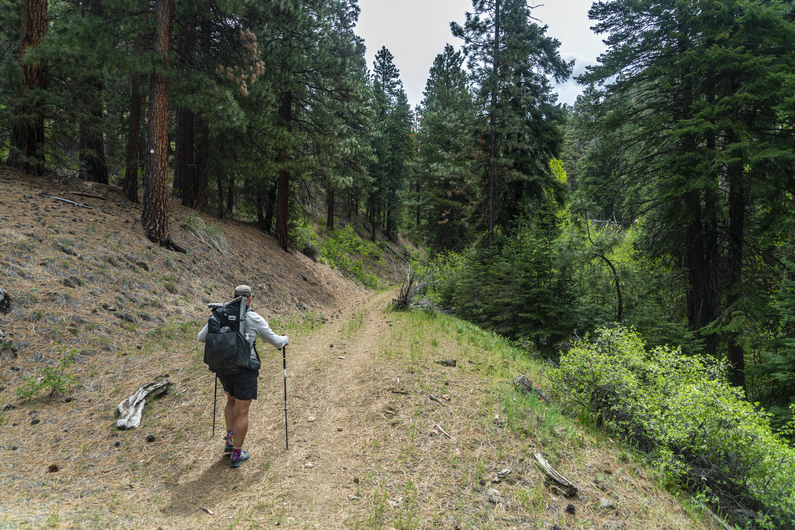
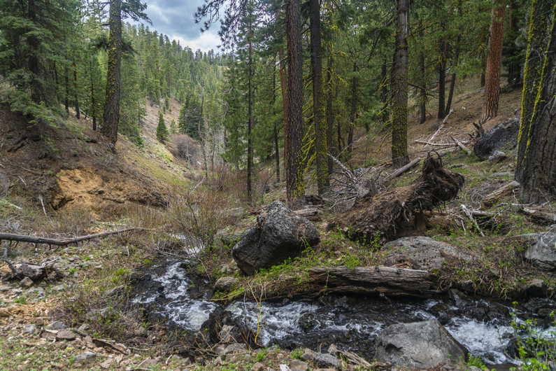

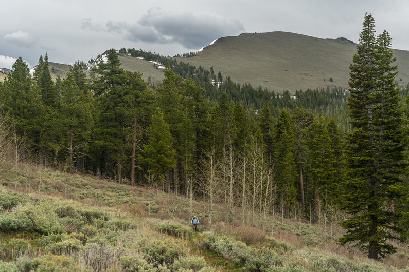
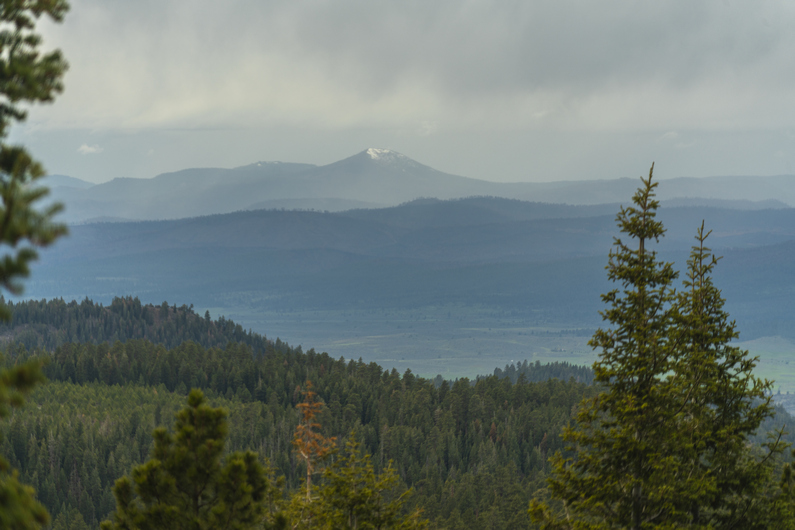
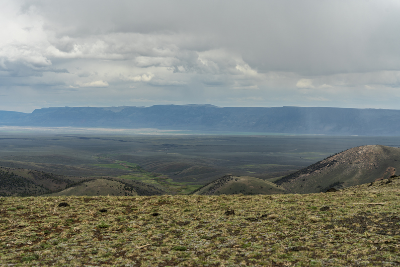
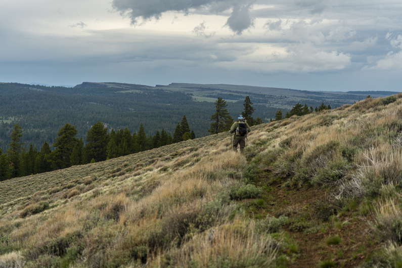
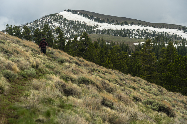
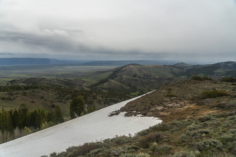

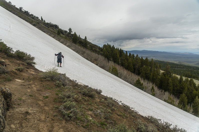
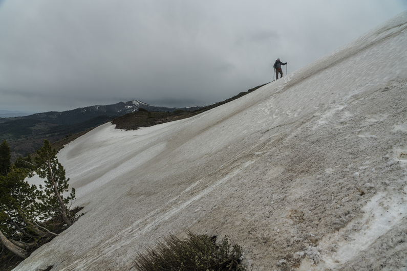
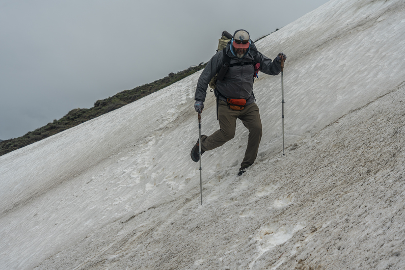

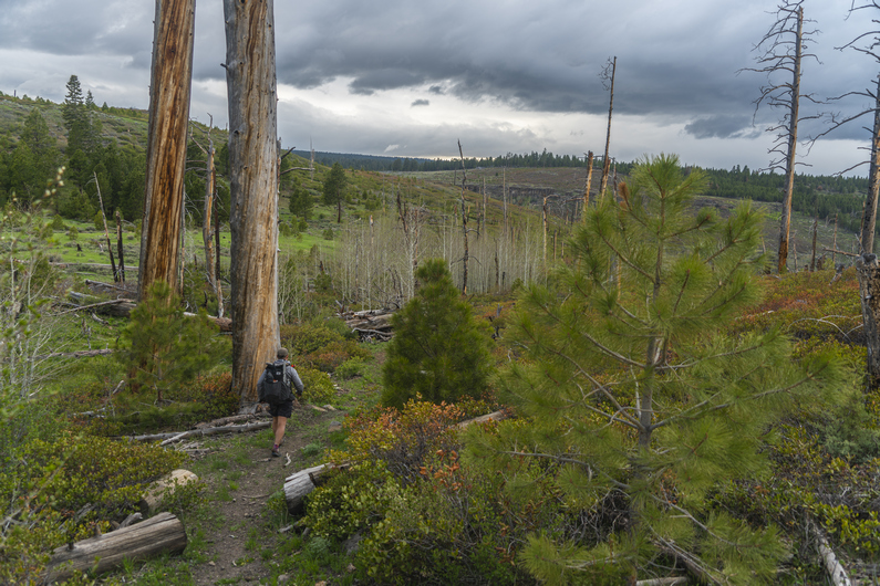
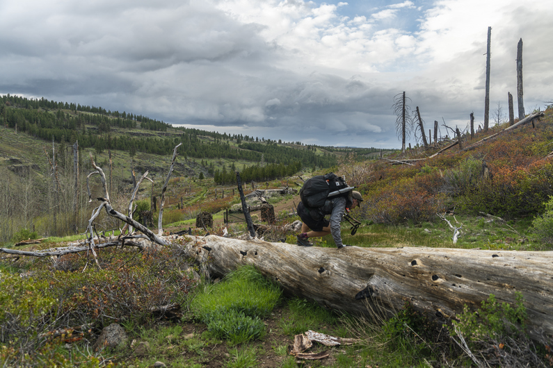
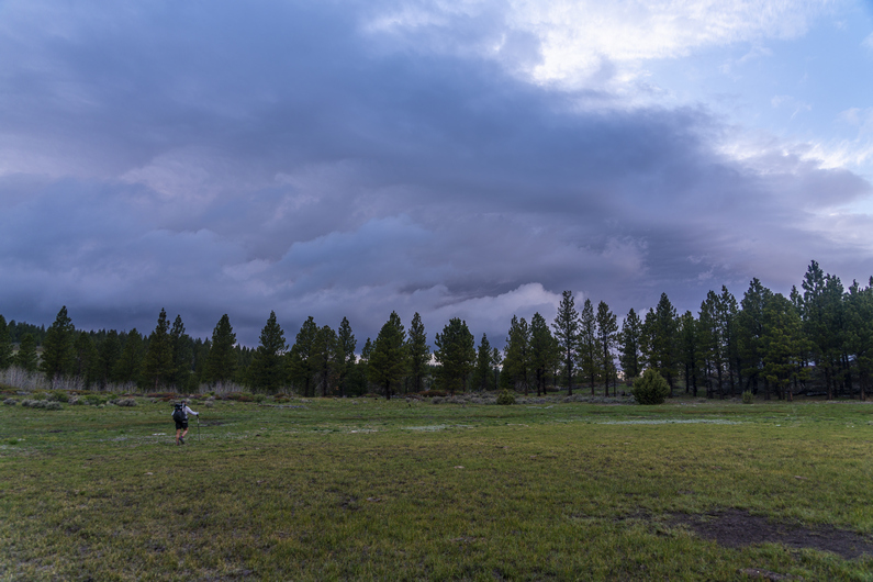
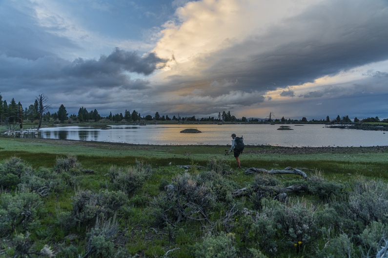
I didn’t make it to the post office yesterday afternoon before it closed, so I had to wait until 9:30 am to send out my resupply boxes to Frenchglen, Denio, and McDermitt. I probably could have gotten away with not sending a box to McDermitt, but I wasn’t sure if they would have my staple food items at the Quinn River Market, so I just sent a box anyway. I also sent home my 16-35 mm lens, my gloves I had planned to use for bushwhacking, and rocks I found from the last few sections.
Donny, heavy Teva and I left the hotel around 10am and began trying to hitch out of town, back to trail. It took about 15 minutes, and we got a ride to the Mill Trailhead area along highway 395.
We resumed our hike by following the Fremont National Recreation Trail up Crooked Creek. The creek was flowing strong, and the canyon was scenic. Some really nice rocky outcrops among large Ponderosa Pines. Nice stuff.
It’s a 3,000 ft climb to the top of the crest from here. It was a pretty nice hike, for a while. We crossed the creek a couple of times by jumping it, hopping rocks across, and walking logs.
As we gained elevation, we started seeing snow along the creek. Eventually, There were more downed trees and snow. Not the best combination. More work for sure, but at the same time, our pace slowed, and our heart rates dropped as a result of not climbing so rapidly. A decent trade-off, I suppose.
After passing Smith Fork trailhead, the snow and down-trees subside and we have a descent 4×4 road to hike. We began to get our first views of the crest of the mountains now as we emerge into the occasional clearing. Pretty nice so far, and it will only get better from here.
The trail skirts the west side of Twelvemile Peak. When we reach the north side, we get our first view East of the crest. Wow! The town of Plush and Warner Lakes are to the east, although not really in sight. The wind is whipping, and the clouds are threatening rain. It’s quite cold now, so we take shelter behind some rocks to put on an extra layer and take a quick food break.
We continue walking the ridge North. Excellent views, until we drop down Into the forest again. More snow patches to walk through, and some occasional mud.
Next we traverse the west side of McDowell Peak. The trail is good and the walk is easy. Finally, we have the biggest chunk of today’s climb done. We can just cruise on this trail, and enjoy the views, while they last.
The trail wraps around the north side of McDowell Peak, then drops to a saddle. From here, we traverse the south side of Crook Peak, Then, the east side. Here, there is a large section of snow on a very steep hillside. We weren’t really expecting this. None of us have microspikes, but this is the kind of place you would certainly use them. If one were to fall here, you would slide down at least 100 ft, more in spots. And the slide would be a fast one.
Heavy Teva went first. He kicked steps and took his time, but the last few feet were very icy. He slipped and fell, and slid down about 30 or 40 ft. Thankfully, the runoff was just into dirt, and he was alright.
It was my turn next. The first half is not bad, but the second half is steeper and icier. I took my time and I tried to kick deep and level steps. Made it. Lastly, It was Donny’s turn. He made it across no problem. Whew.
Now the trail drops in elevation, from 7400 ft to 5800 ft. This took us out of the wind and gave us some protection. We were back in the forest, where there are several small creeks flowing. Water has not been an issue in this section, that’s for sure.
As we drop below 6,000 ft, we enter a very impressive canyon, with Honey Creek flowing through it. This was an old forest fire burn area, but it was still very scenic. Around 5800 ft, we cross Honey Creek. It’s flowing strong, and instead of taking our shoes off to cross it, we look for another way. Not because it’s dangerous, but simply to avoid getting our feet wet. Heavy Teva and I spent some time bushwhacking a route across a downed log, and through some very heavy brush on the other side. This was a real pain, and we should have just done what Donny did; walk through it!
We climb out of the canyon, with excellent views along the way. We reach an old dirt road that contours around the canyon walls, and take a shortcut up and over the ridge. This one actually worked out well; normally they just end up being the “long cut”.
Finally, around 8pm, we reach Vee Lake. It’s not necessarily the most scenic lake on its own, as it looks man-made and is surrounded by cow shit. Still, with the dark rain clouds behind it and the sun trying it’s hardest to come out, the scene was beautiful. A campground is on the map here, too. This is where we were planning on camping tonight.
As we approached the campground, we could see a car parked here. In fact, several vehicles, and even a campfire. It also started sprinkling at this moment. We were disappointed to learn that the campground was completely full. It looked like one large group. This is Memorial Day weekend, so we shouldn’t have been surprised to see people here. What a bummer for us, though. During the middle of a regular week, it would probably be empty.
Donny knocked on the door of an RV and asked them if he could camp there outside in his tent. They said yes. However, Heavy Teva and I didn’t want to camp here. Not only because it’s awkward to just ask a stranger to share their campsite(right??), but they had generators running, and it looked like they’d be a party crowd, up all night. Instead, we both found campsites closer to the shore of Vee Lake, away from the campground itself.
I set up my tent as it sprinkled lightly. After getting all situated, the rain dissipated. However, that’s when the people in the campground cranked up their music. And of course, It was really crappy music. It also sounded like they have one song on repeat. What a bunch of tools. Glad to have some distance between them and my camp tonight, but it still required earplugs to drown out the constant and repetitive bass. Sigh. Happy Memorial Day.
ODT Day 16 Map
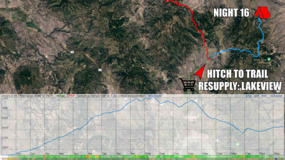
Day 17: Abert Rim & Miner’s Draw
May 28th


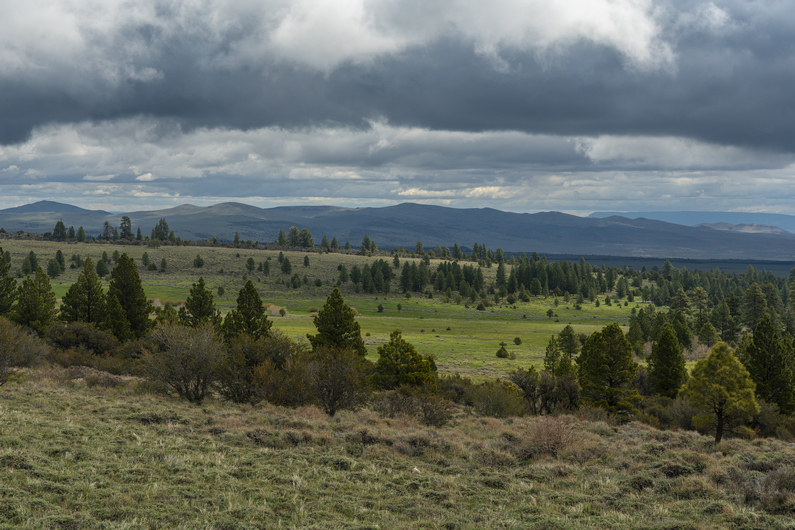


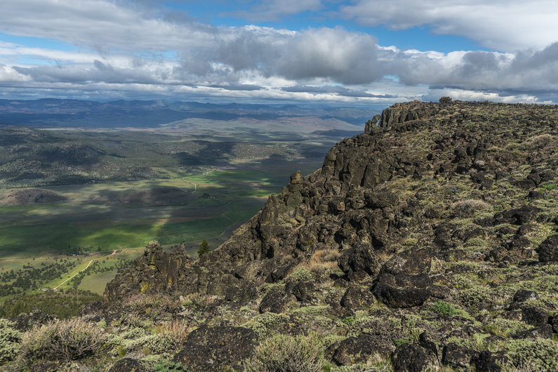
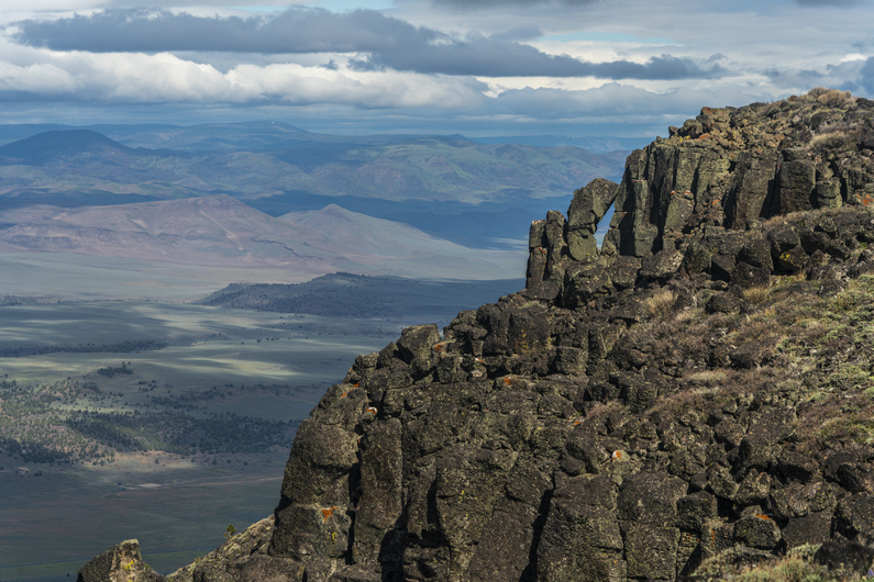
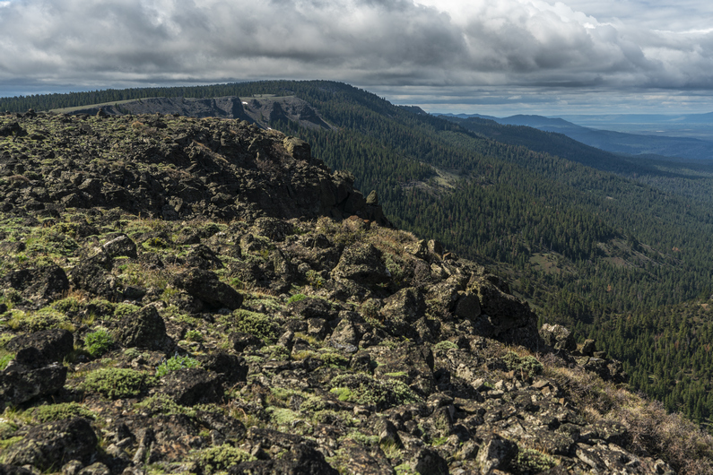
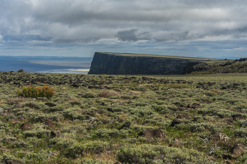


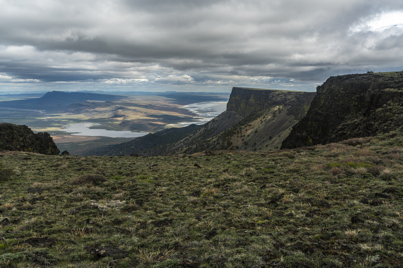
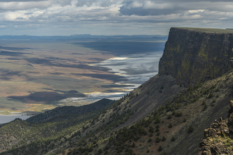
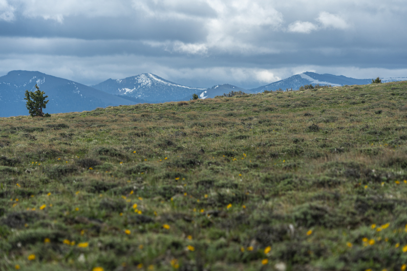
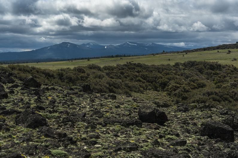


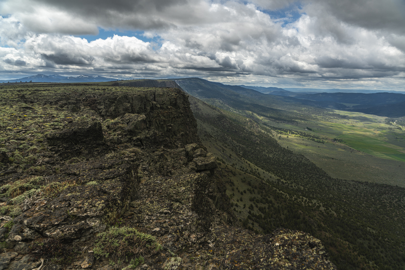

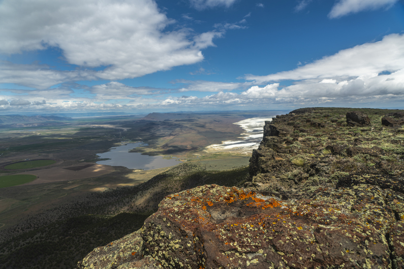
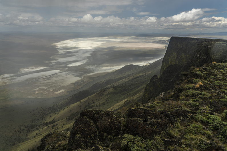

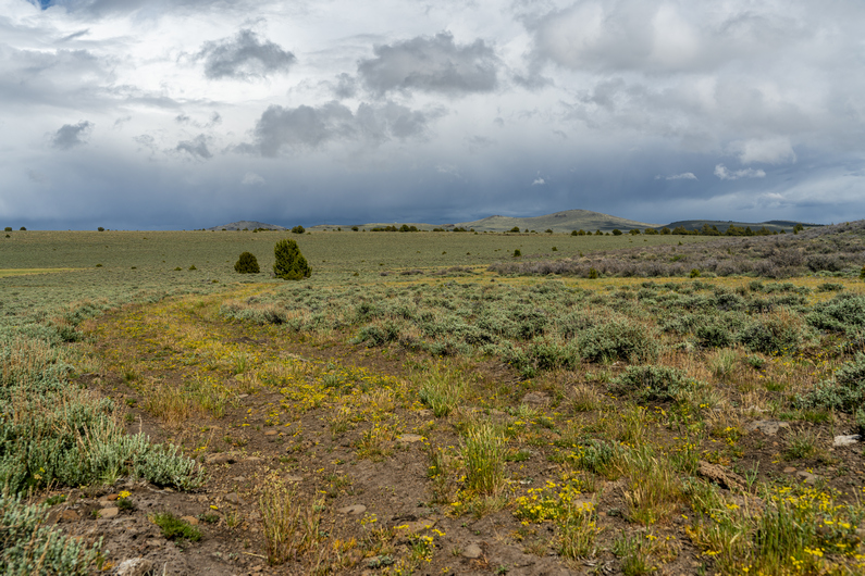
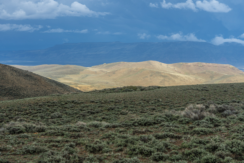
Woke at 6:45, with the sun shining on my tent. Nice. By the time I packed up, it was cloudy. Donny and Heavy Teva were both gone already. Hiking by 7:45.
Some dirt roads to walk, then I leave them for a xc section. It’s soggy, muddy and lots of downed trees.
Then, I reach white pine marsh. There’s a beaver dam here, and it’s challenging to cross without getting my feet wet. This time, I was successful. While I filtered two liters of water here, a couple of hunters in a side by side drove by. ORV traffic was pretty rare on the ODT, actually. And that’s not a bad thing at all.
Next I begin hiking up to Abert Rim. It’s all off trail now for the next 7 miles or so. It’s open and grassy, at first. In the distance, dark clouds obscure the top of snow capped peaks.
Soon enough, the climb gets harder. Not because of the grade, but because the ground is littered with rocks. Lots and lots of them to step over. Little did I know, this was just the beginning of the rocks.
At the top, the view was excellent. To the west, there’s a massive drop off overlooking the community of Valley Falls, which is basically just a few farms and ranches. The Chewuacan River and Crooked Creek flow through here, and the area is quite green.
This cliff face continues north for 20+ miles, although I won’t hike all of it. Lake Abert is north, and I’m curious to see how much water is in it. It’s been drying up over the last several years.
I hike as close to the edge as I can, infatuated with these views. As I progress forward, the view behind me provides a different perspective, seemingly more impressive as I go.
Rain clouds are moving into the valley below, and seem to be moving parallel to the Rim. So, I’m walking the edge, and alongside a moving rain cloud. This is nuts.
As I near Mule Benchmark, I get my first up close views of Abert Lake. It’s mostly dry now, but was much larger just a few years ago. The sands of the lake bed glow intensely, and I’m mesmerized by the view. This is my favorite spot on the Oregon Desert Trail, so far.
I leave mule benchmark and head down off the rim, to the east. It’s raining on and off now. I eventually reach a line of trees and brush, apparently with no way around them. After a short bushwhack, I’m through.
Now, I hike through a large open meadow, with nice views of the snow capped peaks of the Fremont National Forest to the south. It’s sunny for the moment, but more dark clouds on the horizon.
Another hiker that’s about 10 days ahead of us had posted on the ODT Facebook group warning of a “suicidal bushwhack” in the forest ahead. So, I take a road around this area. Here, a large convoy of 4×4 enthusiasts drive by. It takes several minutes for them to drive past me, there was that many of them. Looks to be the same people from Vee Lake campground, where we camped last night.
Now the rain starts again. The temperature drops 20 or 30° every time the rain falls. I walk a series of dirt roads, until the clouds break and the sun comes back. It’s 4 hours since I’ve stopped for a break or eaten, and now’s my chance. Time for a picnic. That’s essentially what we are as backpackers, professional picnickers. Think about it!
The next few miles are along dirt roads, through some open landscapes with rolling hills. I see Donny in the distance now, so I push ahead and catch up to him. We hike together for a mile or two, and catch up on the day’s events. He’d seen some pronghorn up on Abert Rim. Cool, I still haven’t seen any on this trip myself.
I look back behind us, and the sky is darker than it’s been all day. It looks pretty wicked, and it’s coming this way. I buzz ahead of Donny, hoping to knock out the final 4+ miles to Miner’s Draw, where we planned on camping today.
Moments later, it started raining again. The heaviest of the day. I went light on the rain gear for the ODT, with a Zpacks Vertice jacket and some Enlightened Equipment wind pants (just 1oz) for rain pants. I’m fairly soaked now, and cold. Nothing to do but keep hiking. Just as I approach a water trough, I see heavy Teva ahead. I need to draw water from this trough, even though it’s raining. So, I quickly fill my 2L platypus bladder and take it with me. I can filter it later this evening at camp, hopefully it won’t be raining then.
I had about 5 lb of mud on each shoe as I began the 500 ft climb up to the pass to Miner’s Draw. The rain began to subside, but it still don’t trust the weather today.
The view from the top of the pass above Miner’s Draw was great. Hart Mountain stands tall in the distance across the Valley, although the weather is obscuring a clear view of it.
Next, I dropped into Miner’s Draw. We are hoping there will be suitable camping here without having to descend too far down the canyon this evening. There is an old mine shaft marked on the map below the pass, and I was thinking this spot had some potential. Unfortunately, there was no mine shaft here anymore. It must have been filled in at some point. Plus, the ground was not level, and it was littered with cow shit. Pretty much the opposite of what I was hoping for.
As I was standing near the mine shaft, I saw heavy Teva come down the pass. We hiked down the draw and continued to scope out campsite options. We eventually found a spot just off the road, maybe 2 miles below the pass. Just as I got my tent up, it started raining again. I quickly threw my stuff in the tent and finished setting everything else up from inside. I rarely have to do this. It was a long day, having covered 27 or 28 miles. I was glad to get in my quilt tonight and warm up.
ODT Day 17 Map
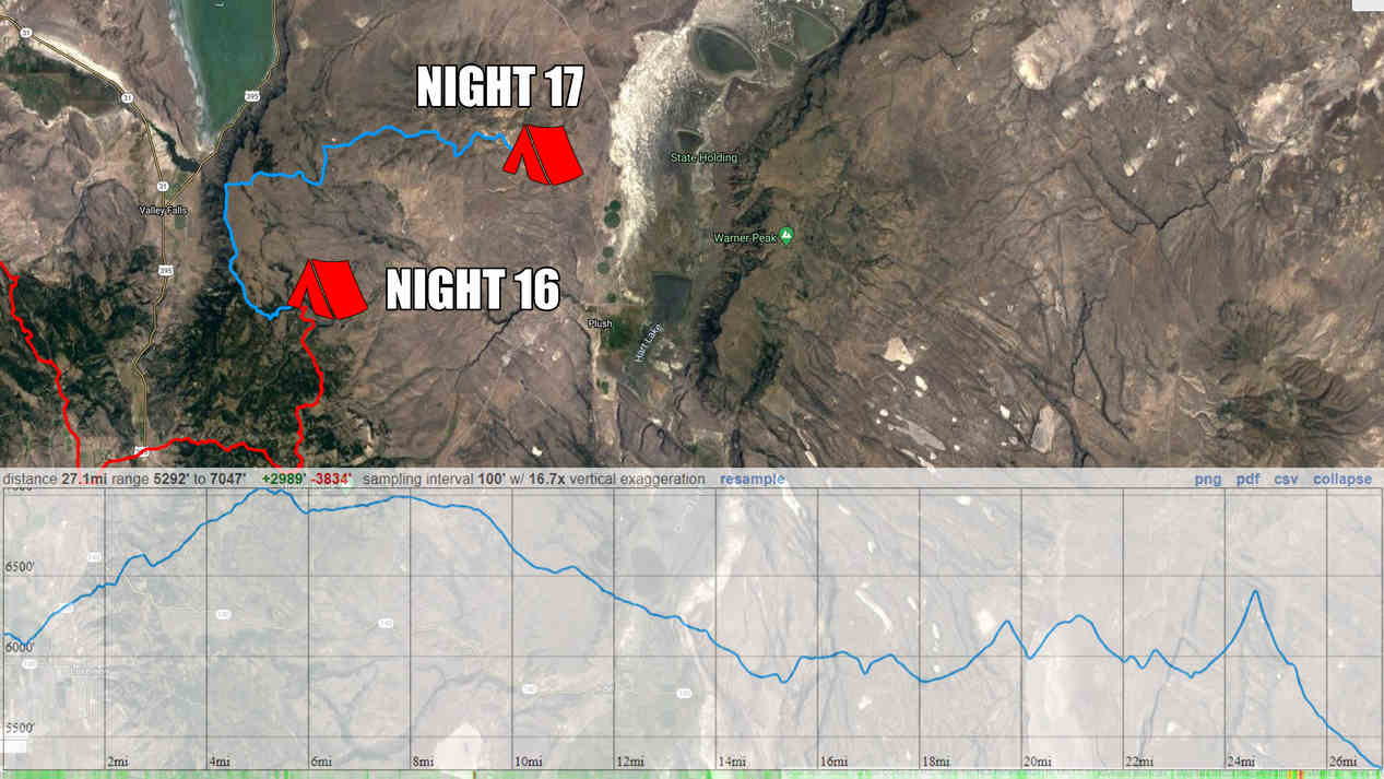
Day 18: Walk-In, Walk-Out Resupply in Plush
May 29th
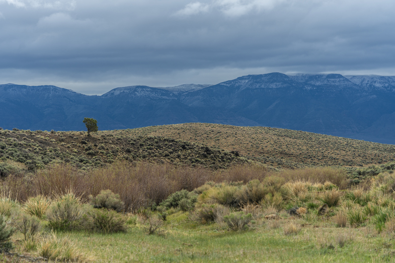
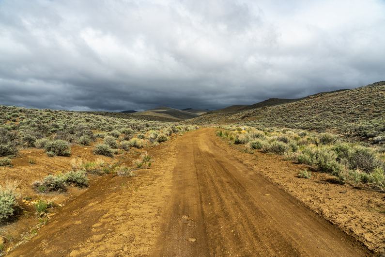

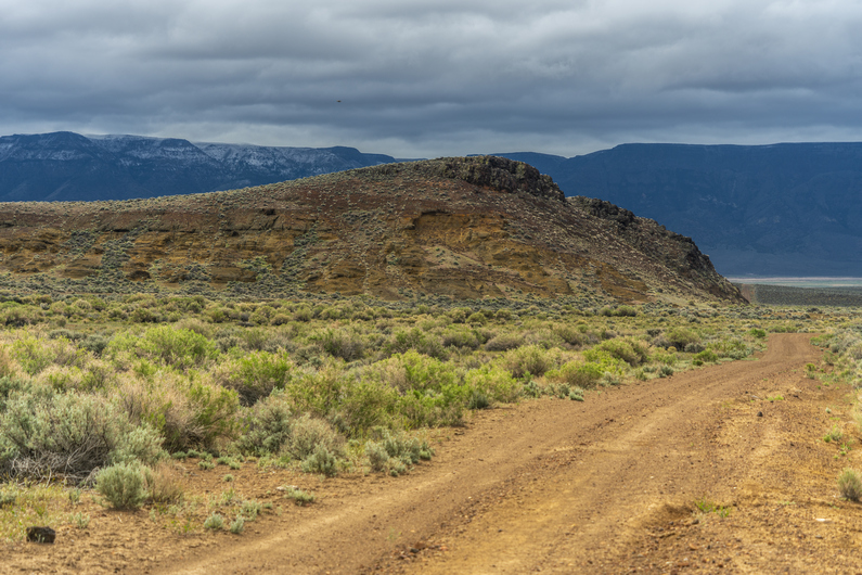
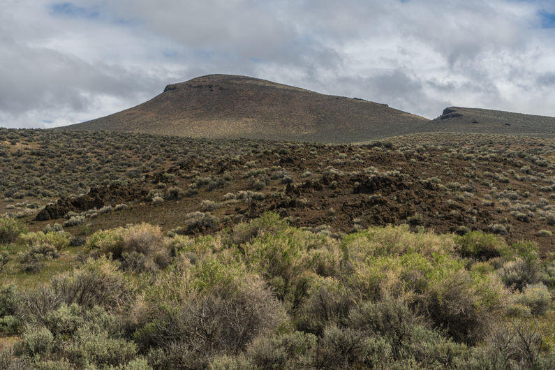

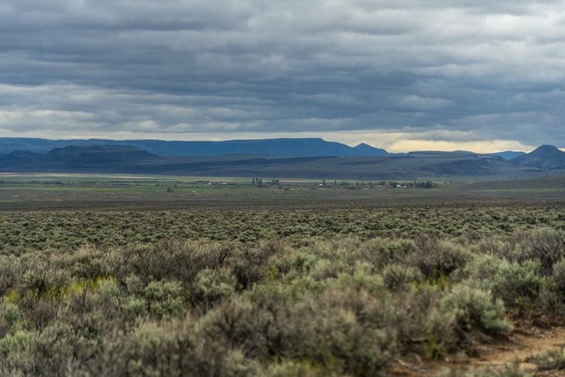
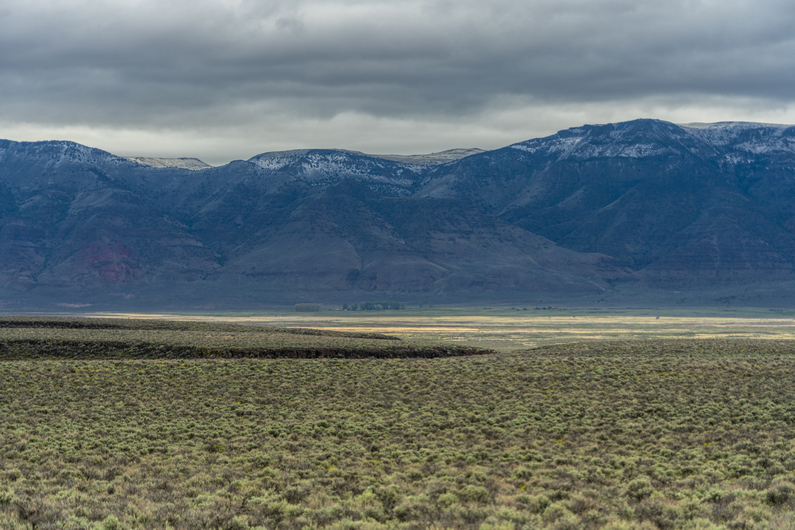

It rained on and off throughout the night. Eventually this turned to light snow, and I could hear it pelting my tent. Heavy Teva was camped nearby, and I could hear him breaking camp earlier than I cared to. It was cold and windy, and my shoes, socks and pants were all still wet. It was also still precipitating, a light rain snow mix. Yeah, I’ll wait a little bit for it to warm up before I get moving.
I broke camp at 8:45, with 9.5 miles to walk to get into Plush for resupply. This morning’s hike will be all down hill and all on good roads, so I know I’ll be able to make great time.
I was looking forward to walking miner’s draw, because of the opportunity to rock hound. A variety of interesting minerals here, including opal, Fosterite and Labradorite. However, It wasn’t really what I was expecting. I was hoping to be able to find these rocks as I walked, but that was not the case. And I didn’t really have the time or desire to poke around on the hillsides, given the cold and wet weather Additionally, when town is just hours away, the motivation to get out of the weather and get a hot meal are pretty great. Moving on.
I exit Miner’s Draw and enter Warner Valley. Plush can be seen In the distance now, about 5 miles away. Hart Mountain provides an imposing backdrop. There’s fresh snow on top from yesterday’s weather event. I’ll be headed up there soon, on the next section.
It was around 11:30am when I reached Plush. I walked into the Hart Mountain Store, where I saw Donny and Heavy Teva sitting at a table. First thing I did was grab a cold drink out of the cooler, and order a double bacon cheeseburger for lunch. I had only drank five liters of water during the last section, about 58 miles over 48 hours. I was feeling totally fine, but obviously thirsty.
We got our resupply boxes from the store, who graciously holds them for us ODT hikers, and began getting our food together for the next section. It’ll be 108 miles to Frenchglen from here.
We had planned on getting a cabin for the night, but everything was booked since it was Memorial Day weekend. This was a major blow, as it would have been really nice to get a hot shower and dry out. My feet were feeling kind of rough from being wet so long yesterday. I had some holes in my socks, so my feet were rubbing on the inside of my shoes in a weird way. They were also pretty tender from being wet and wrinkly all day. Oh well, we’ll have a chance to rest up in Frenchglen.
Heavy Teva left first, then Donny. I have more electronics to charge, so it took me longer. I didn’t leave until 4:30pm. But this allowed me to get a second lunch in!
**Day 18 Continues Here: ODT Section 5: Plush to Frenchglen
ODT Day 18 Map

–> Continue reading Oregon Desert Trail Section 5: Plush to Frenchglen (107 miles)
Back to Oregon Desert Trail Thru Hiking Guide & Journal index
Related Images:
Oregon Desert Trail Section 3: Paisley to Lakeview (2022 Thru Hike Journal)
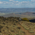
Day 12: Fremont National Recreation Trail
May 23rd
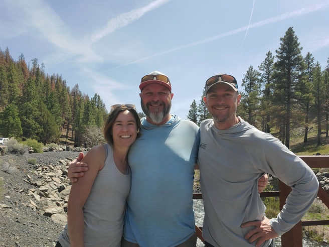


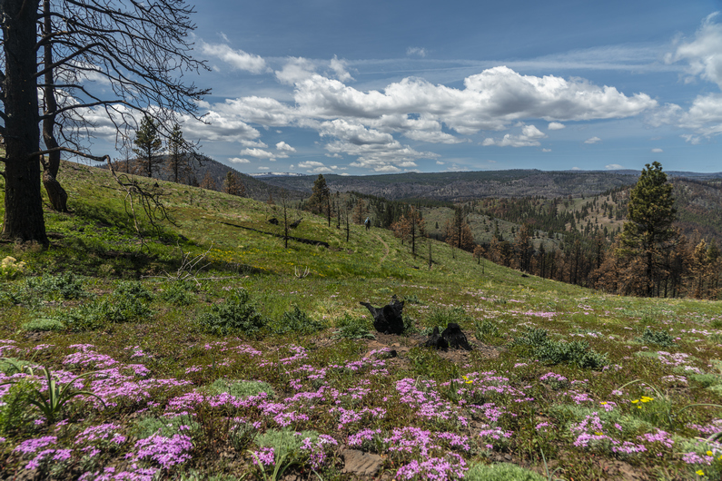


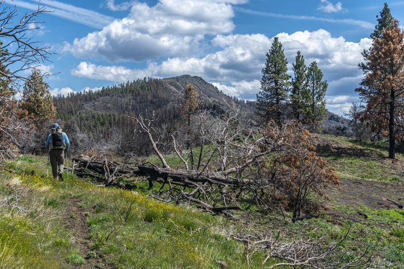
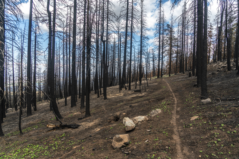
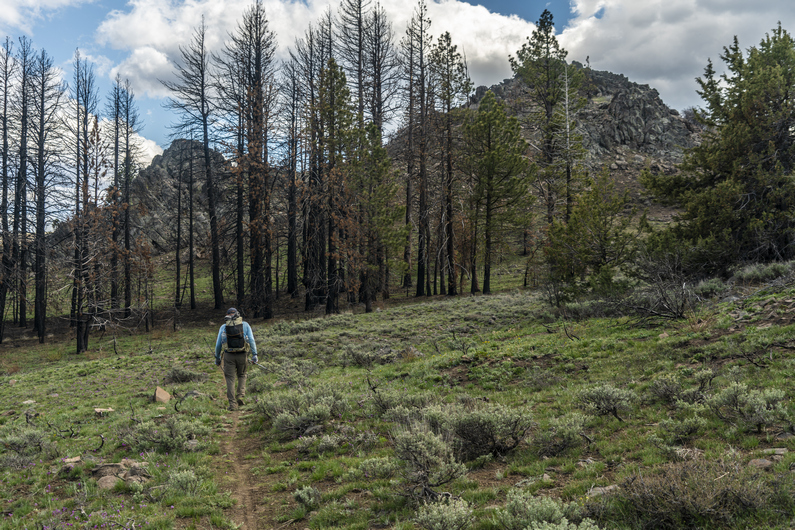
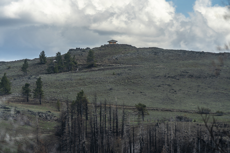


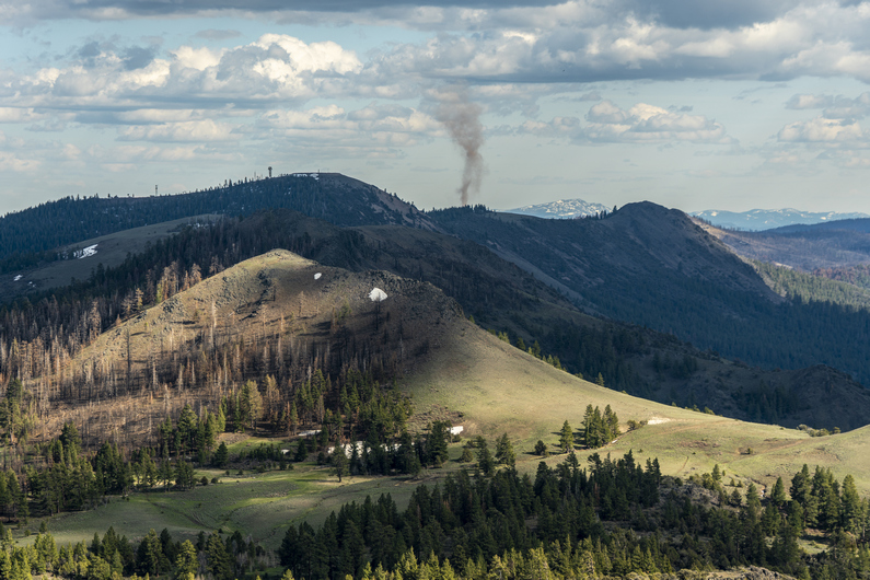
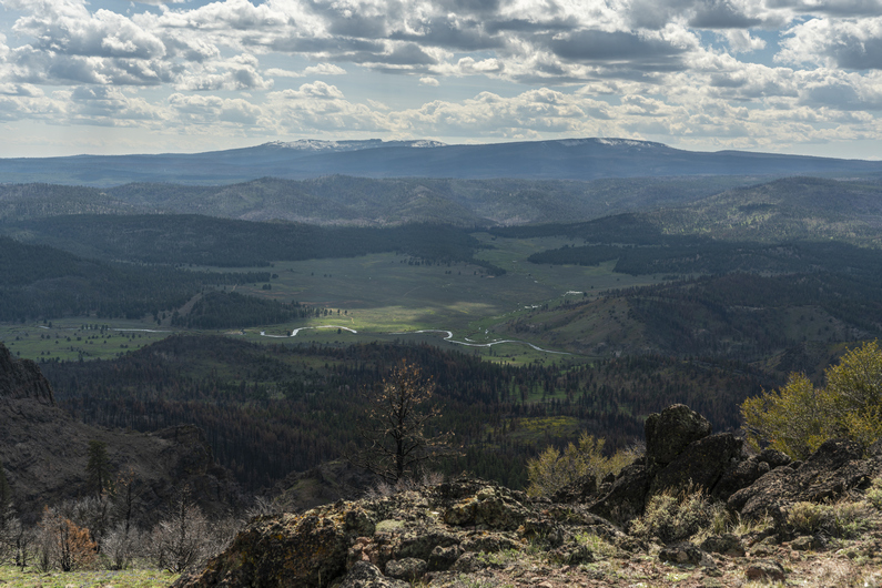
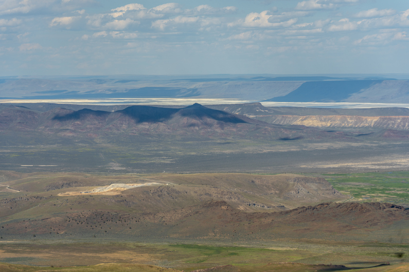


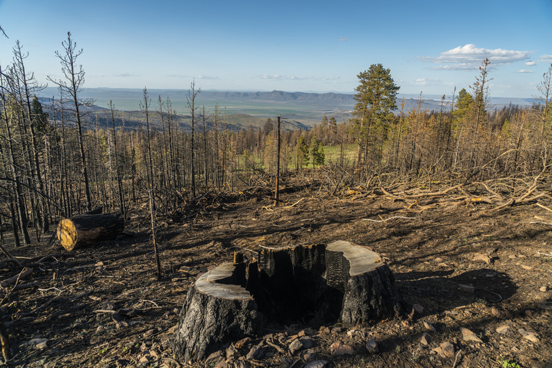
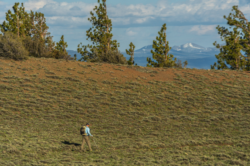


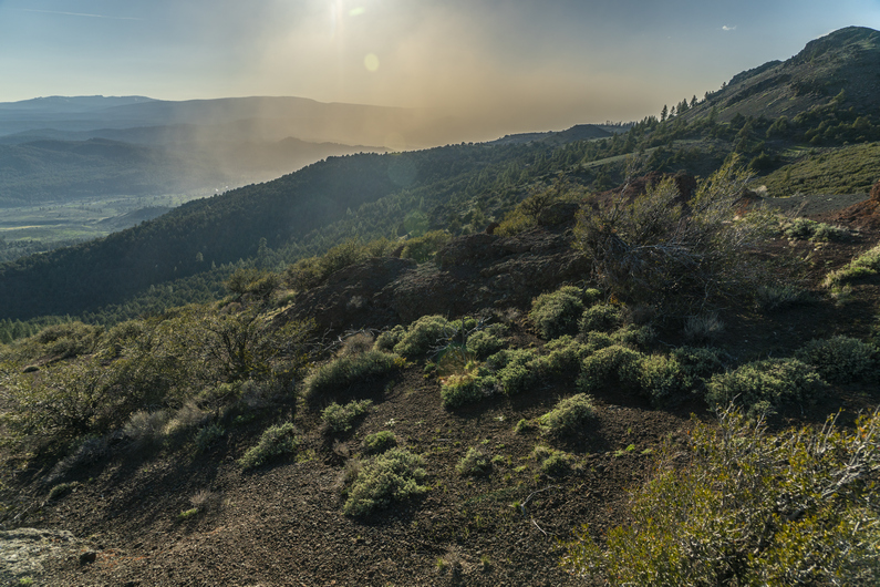

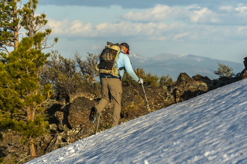
This morning was very relaxed. Melanie, who we met the night before at the Hot Springs, said she would drive us to Paisley this morning. We agreed on 9:30 a.m., and so We were not rushed to get ready.
After packing up, I sat out on the front porch. There are multiple cabins here on the Hot Springs Resort premises, as well as camping RV sites. I felt like it was 4th of July in northern Michigan, hanging out at a cabin on the lake. Only there’s no lake anymore!
Melanie picked us up and we drove back into Paisley. Donny mailed out his package at the post office, then we made a quick stop at the Paisley Mercantile for breakfast burritos before heading out of town along the Chewuacan River.
At the Chewuacan Crossing trailhead, we crossed the bridge over the Chewuacan River, and jumped on the Fremont national recreation trail. We’re now in the Fremont National Forest. First forest of the ODT!
What a difference a day of hiking makes! Everything is green, there are wildflowers instead of Sagebrush, and it’s a beautiful mountain landscape with pine trees. We hike on in high spirits.
Today we will gain 2700 ft in elevation, and so the majority of the hike is uphill. It’s well graded and a legitimate single track hiking trail. Easy walking and great scenery, despite walking through occasional forest fire burn areas. There was a lot of obsidian along the trail here.
Admittingly, I don’t know what these mountains are named. They are not named on the USGS maps, nor the US Forest Service maps. I did some research online, and can’t find any reference to a name given to the mountains were are hiking right now. Diablo Rim has a name, and that’s not as tall or prominent as these mountains. I’ve seen small hills, miniscule in size and scope in comparison, that were named. This baffles me.
We stay high above the Chewuacan River, and it’s a great view looking down upon it. Of course, I can’t resist calling it the Chewbacca River. And I don’t refrain from doing so.
After a few hours of hiking, we gain the ridge line and get our first view of the lookout tower at Morgan Butte near Avery pass. It’s still a couple miles away. We hike on through alternating patches of pine forest and burns areas, before emerging into a clearing along the ridge. Generally pretty good hiking through here.
When we reached the Lookout Tower at Morgan Butte (7234ft), it was obvious that It’s either still manned or has been manned very recently. In fact, it looked like they were doing repairs on it. We stopped here for a break. The views were awesome. We could see the dried lake bed at Summer Lake, where we woke up this morning. We could see Diablo Peak and the Diablo Rim running south, along with our route ahead along the Fremont National Recreation Trail. We could see Lake Albert to the south, and a commanding view of the Chewuacan River below. Good spot for a lookout tower.
Descending Morgan Butte, I found a ton of interesting rocks. Mostly of the agate variety, some with a neat banding. Some were green, which was interesting. There is some malachite found in the general region, so that must be it.
Near Myers Butte, I noticed a large cloud of dust moving into Chewaucan Valley, below. The winds had picked up and blown it in from the north, from Summer Lake. It was blocking the sun, and my view of the Chewuacan River below. Cool to see, but I hope the winds die down tonight when it’s time to camp.
The route stays high on the ridgeline to Round Mountain. Here, we see some of our first patches of snow along the hike. We kick steps to cross one snow, but mostly walk around them.
We got water from round mountain spring, and found camp just below round pass. On the way down to our campsite, I see a large pile of bear scat. It’s fresh too, only a few hours old. We find camp under some large Ponderosa Pines, their branches covered with green moss. Good protection from the wind.
ODT Day 12 Map

Day 13: Hiking The Forest Fire’s Aftermath
May 24th

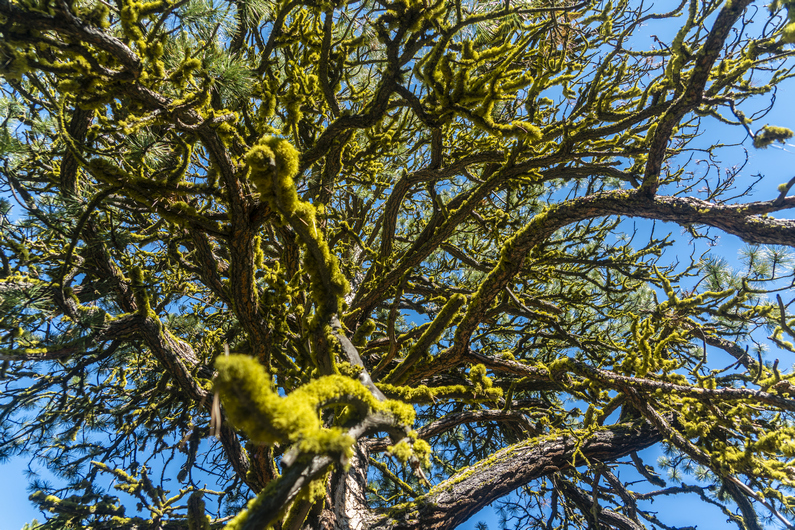
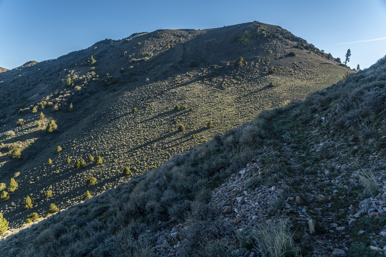


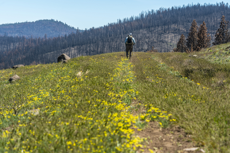
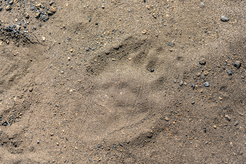
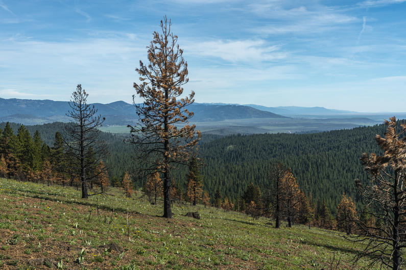
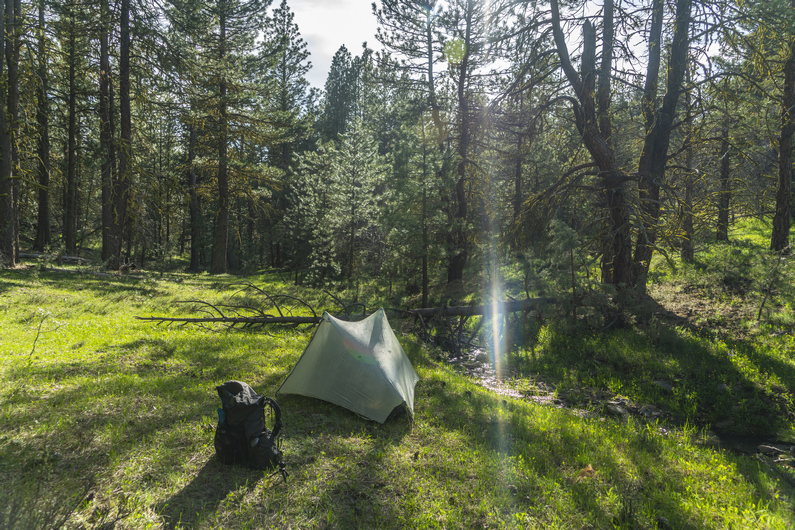
We started hiking around 7:45 this morning. The trail now crosses over to the west side of the mountains. Not far past round pass, we see some pretty nice campsites. These probably would have been the better choice over what we had found last night, if we had only known.
Next, we reached Moss Spring at Moss Pass. We stopped here for a break and to filter water. It looked like this area used to get a lot of traffic back in the day, since there was a pit toilet here and some pretty good campsites. However, it’s pretty clear It hasn’t been used in many years. Kind of a shame to see these kind of places falling into disrepair.
At moss pass, we continued hiking south Into a burn area. The next 15 mi or so would be pretty charred and barren. Not the most interesting hiking, but it is what it is.
We passed several creeks along the way. It’s been nice hiking along the Fremont National Recreation Trail, With water sources Generally only a few miles apart. Now we carry one to two liters, instead of the four to six we had been carrying in the desert. That’s a nice change.
After passing Counts Ranch, we took a break. About 7 mikes now to Fawn Creek, the next water and hopefully, good camping. Donny and I split up, and I went ahead. It’s nice hiking with someone, but it’s also nice to be able to hike at your own pace once in a while.
I was feeling good and strong, as well as motivated, and was on a mission to reach the creek as soon as possible. It would be nice to set up camp earlier in the day, and have someday light left to just relax. I put on some music and turned on the afterburners.
I reached Cox pass, which would have been excellent camping, if it weren’t for the fact it had no water. No worries, fawn creek is only 1.3 miles away. I made quick work of the dirt road walk and reached the creek at 5pm. I found some excellent camping along the creek among the trees. Best campsite of the ODT so far! I’m sure I’ll pay for it tomorrow morning with condensation, but what the hell.
Donny rolled in about an hour and 45 minutes later, having already stopped for a dinner break. By now I had camp set up, finished filtering water and had washed off all of the dirt and filth that accumulated on my body from walking in a dusty forest fire burn area all day. Having this creek just a few feet from camp was a real luxury. The sound of the babbling creek makes falling asleep quick work tonight.
ODT Day 13 Map

Day 14: Resupply in Lakeview
May 25th
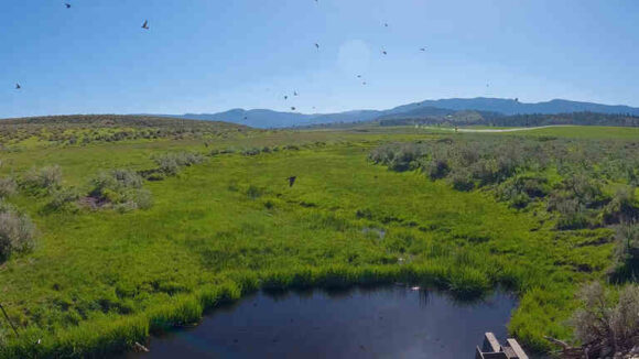
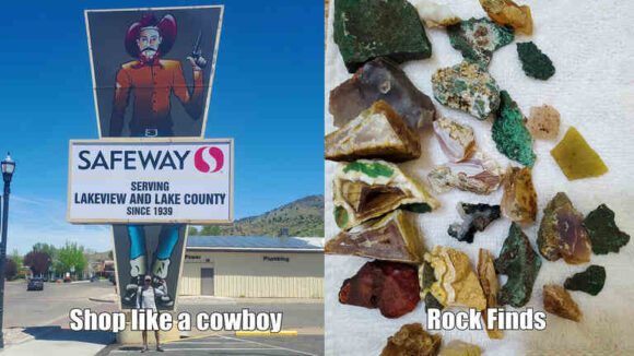


We started hiking around 8am. It’s a 5-mile dirt road walk to the main highway from here. The first mile was through public land and then the final four miles were on a public road through private ranch property. Nothing really notable happened this morning but we made good time to the highway.
We reached Highway 395, and it was time to hitch into Lakeview to resupply. After about 30 minutes, an older woman in a Prius stopped for us and drove us into town.
We got dropped off at the Safeway grocery store in Lakeview, then headed over to Jerry’s Diner for breakfast. A nice big omelet hit the spot! Then we headed over to our hotel to check in.
Today was spent washing clothes, charging electronics, and catching up on things.
We learned that another ODT hiker named Heavy Teva made it into town this afternoon as well, and we all met up at the Eagles Nest Bar for dinner and drinks. I saw the double bacon cheeseburger on the menu, and in classic thru hiker mode, I asked them to make it a triple. This thing was a beast! The prices were excellent, with two beers and this giant burger and fries, just under 20 bucks. Not bad!
ODT Day 14 Map

Day 15: Zero Day in Lakeview
May 26th
Since Lakeview is the last big town along the Oregon Desert Trail, I used the opportunity to not only do grocery shopping for the next section, but three other sections. I went to the post office and picked up a few flat rate boxes, went to the store and filled them up with food.
We met up with Heavy Teva again for lunch, and again for dinner. We ate at the Pizza Villa, which was Pretty good. I got a large pizza, knowing I wouldn’t eat it all. This will be perfect to pack out tomorrow when we hit the trail again. Trail pizza!
–> Continue reading Oregon Desert Trail Section 4: Lakeview to Plush (56 miles)
Back to Oregon Desert Trail Thru Hiking Guide & Journal index
Related Images:
Oregon Desert Trail Section 2: Christmas Valley to Paisley (2022 Thru Hike Journal)

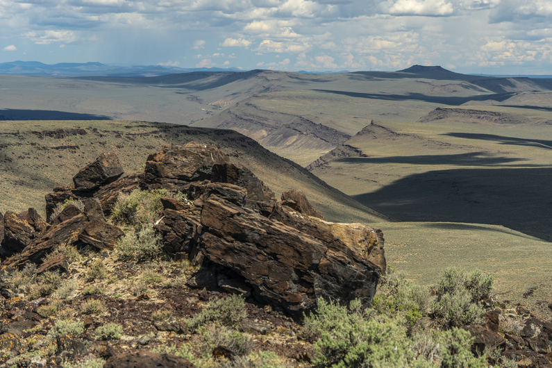
Day 9: Teaming Up With Donny
May 20th
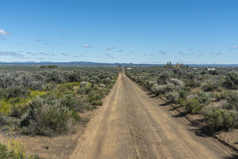
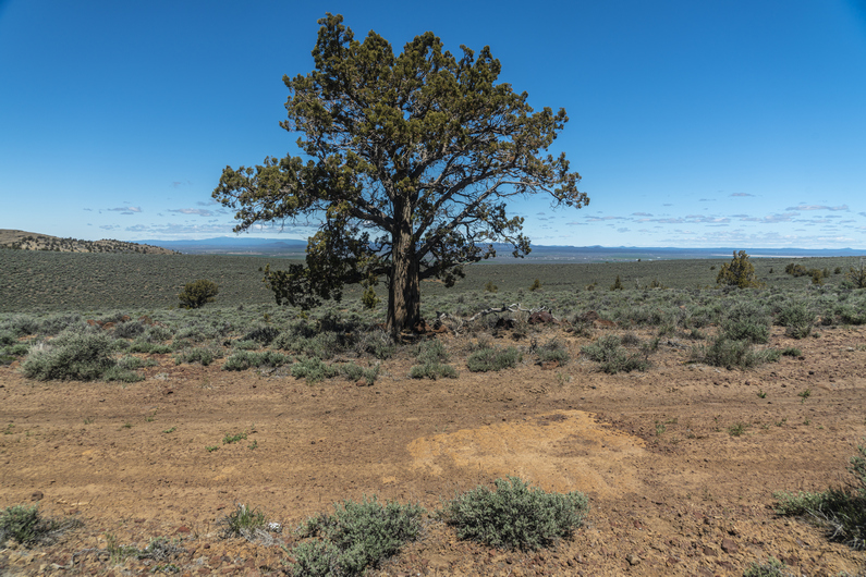
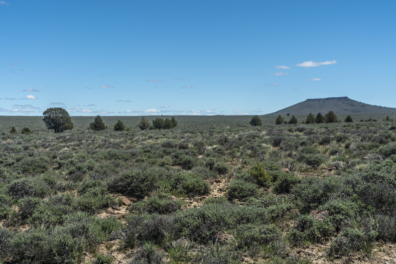
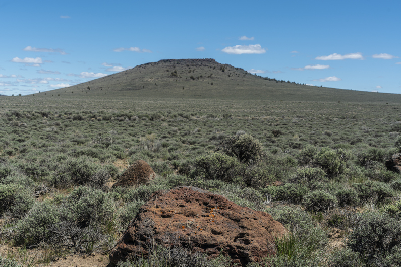


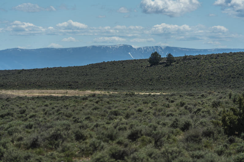
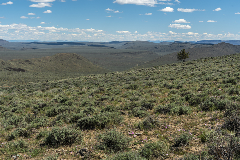


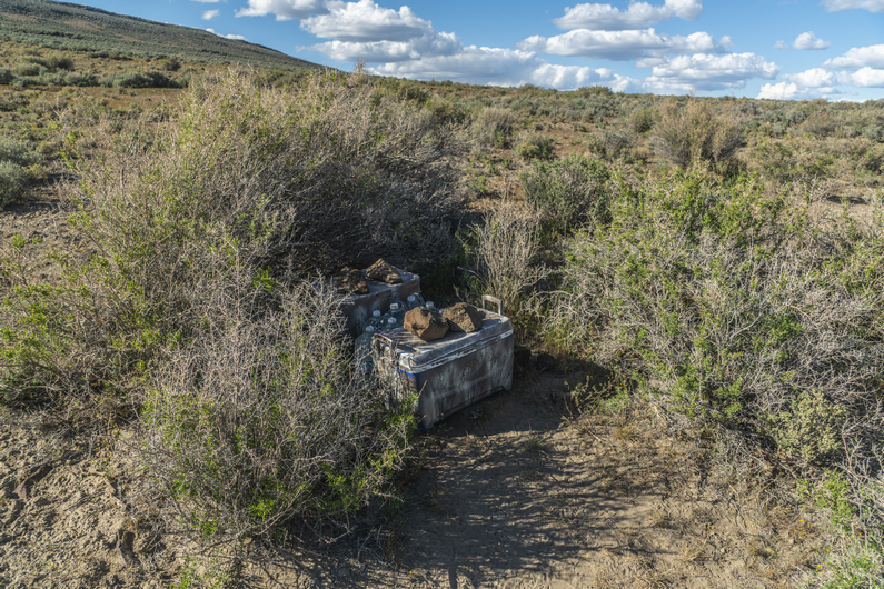
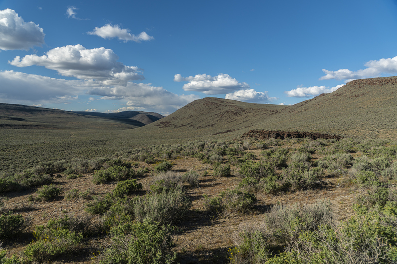

Donny and I were not in a hurry to get moving early in these cold temps, although today will rapidly warm up. We headed over to the fast break Chevron station for breakfast, and started hiking around 9:30.
We ran into another ODT hiker on the walk out of town. His name was “pine needle”. An older gentleman, currently driving around some of the towns, caching and such.
We followed a trail of over 200 shooter bottles of Fireball to a house along this road on the walk out of town. Truly incredible to see such an obvious trail of garbage lead to one house, but there you have it. Life’s hard on the streets of Christmas Valley.
After a few miles of pavement, we reached a dirt road and entered an area called the Black Hills. They didn’t look black, but they were hills.
The temperature is warming up now and it was quite pleasant, as long as we were moving. We gained a little bit of elevation and had an elevated view over Christmas Valley. Look at all those Santa worshipers down there!
We hiked a series of dirt roads to St Peter’s Lake, which was dry. The view started opening up from here, and we could see snow capped peaks In the distance, growing ever closer.
We hiked a series of dirt roads, taking a different route than what is suggested by the ODT. Our route looks more direct and eliminates a cross country segment, in an area that didn’t look all that scenic anyway from the map. We stopped for a break under some power lines, then continued down the valley.
We passed a guzzler, first I’ve seen in Oregon. There was water here, and it looked fairly decent. However, we didn’t need it.
A few miles later, we reached an ODT water cache, first of two this section. There were 29 gallons of water here in two coolers. We filled up water, ate dinner and moved on. Future ODT hikers, remember to pack out your water bottles from the cache, don’t leave the empties there.
Next we entered the Diablo Mountains Wilderness study area. The scenery was improving a little, and it felt like we were starting to get somewhere now.
We found a place to camp along a 4×4 road around 7:30. Not a bad spot.
ODT Day 9 Map

Day 10: Diablo Rim Ridgewalk
May 21st
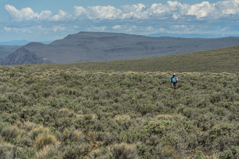
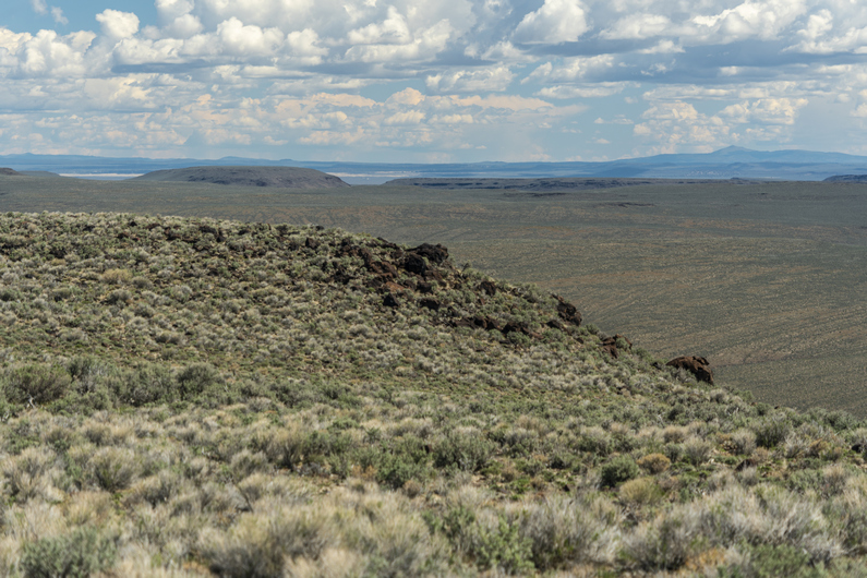


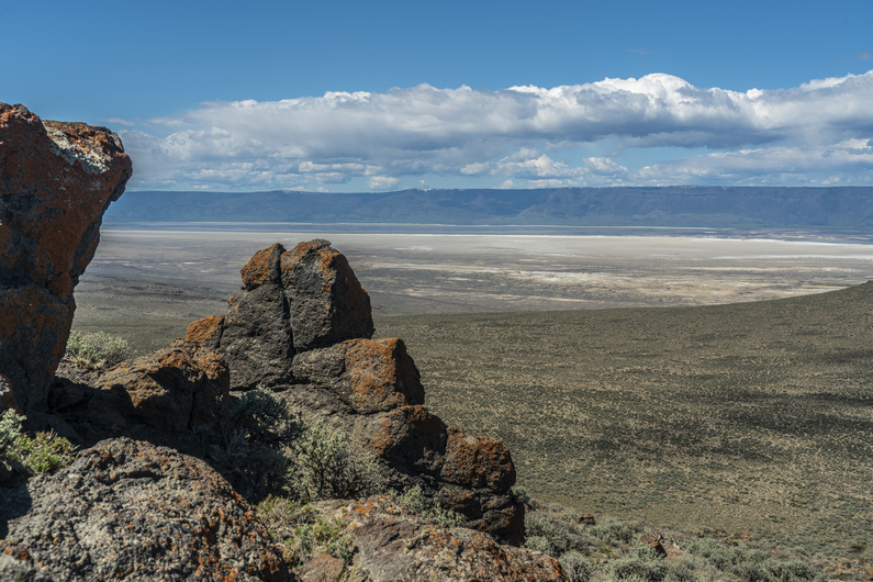
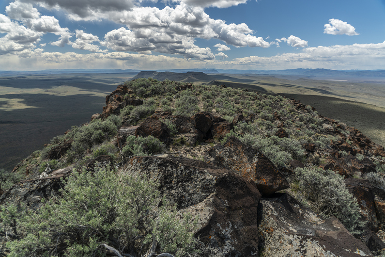

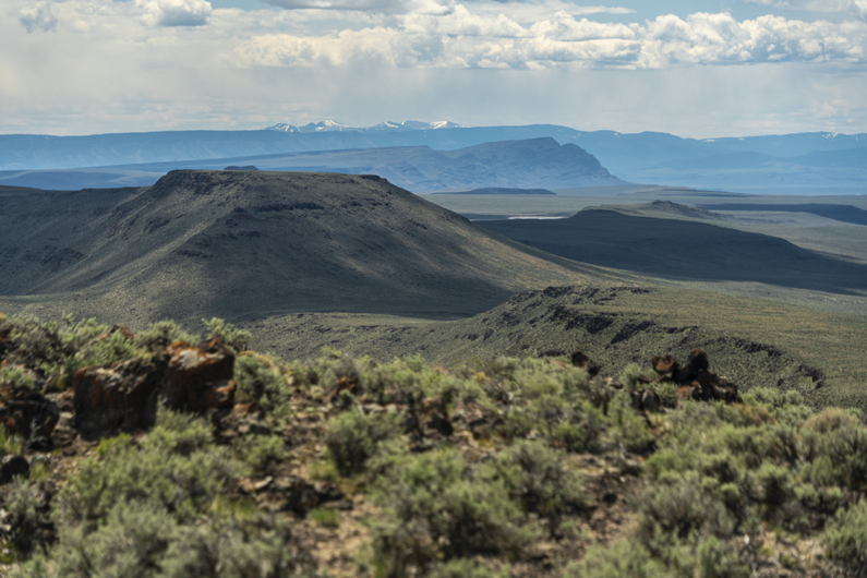
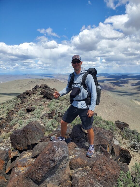
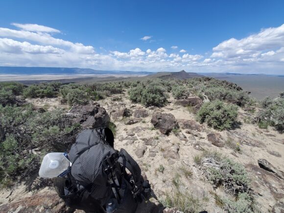
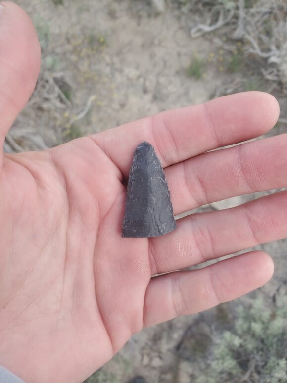

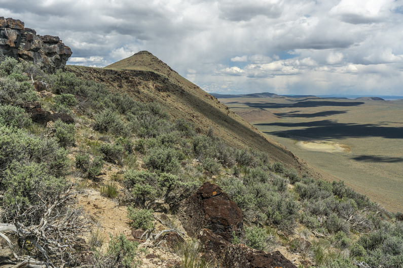

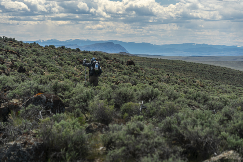
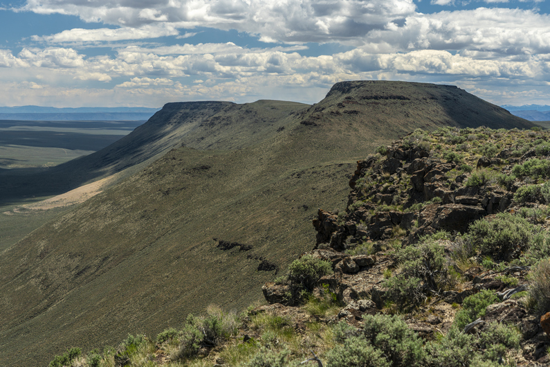
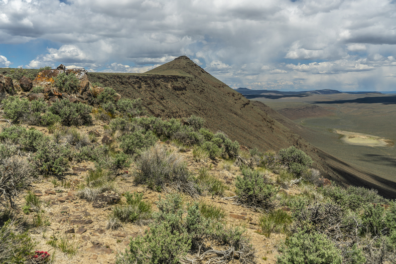

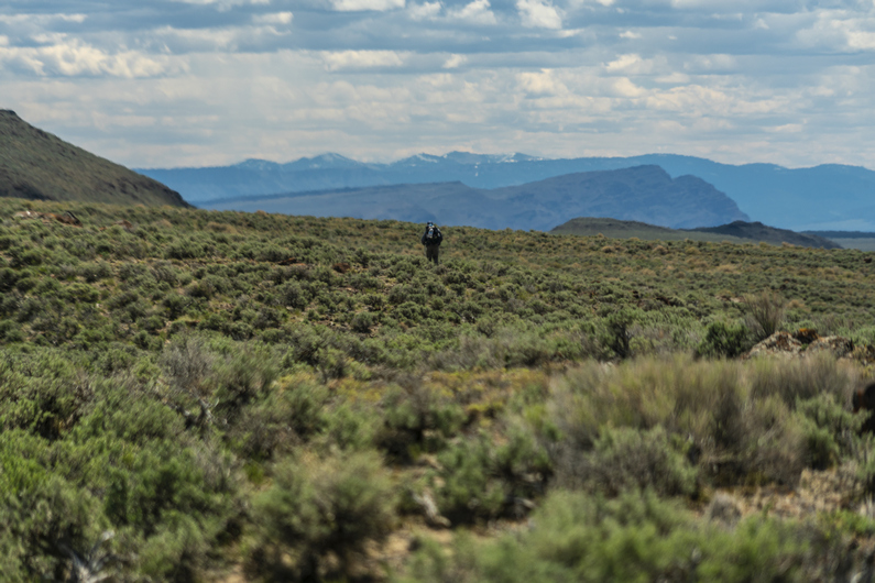
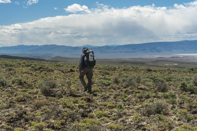

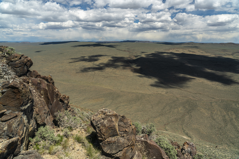

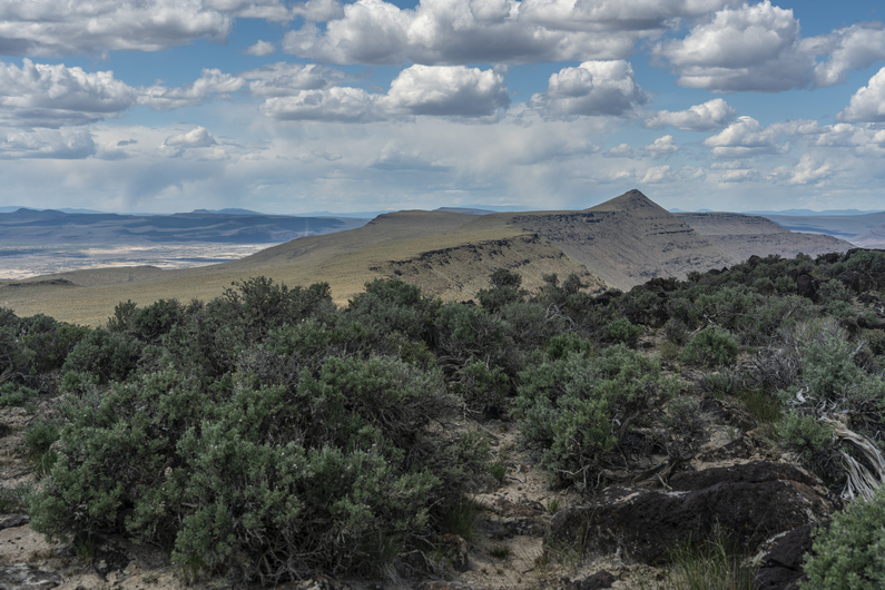
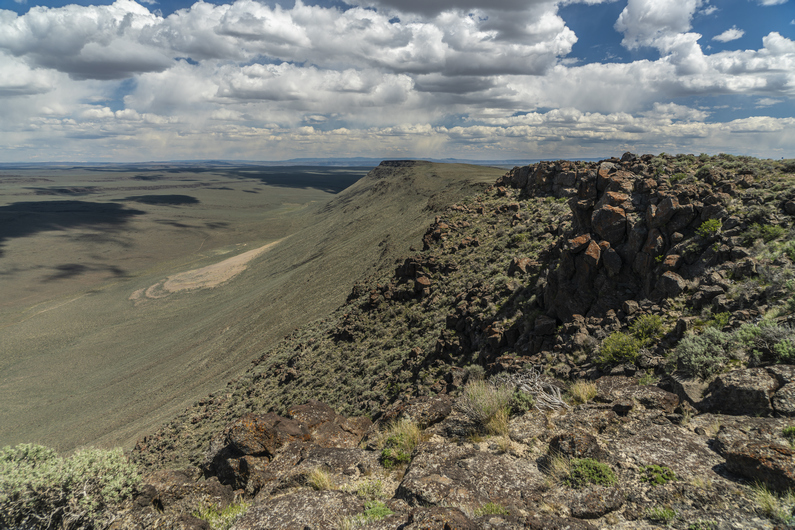
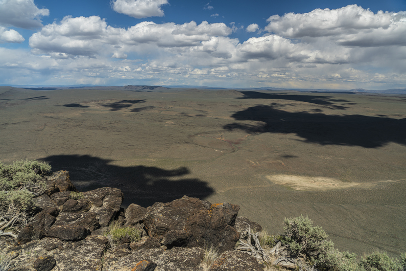
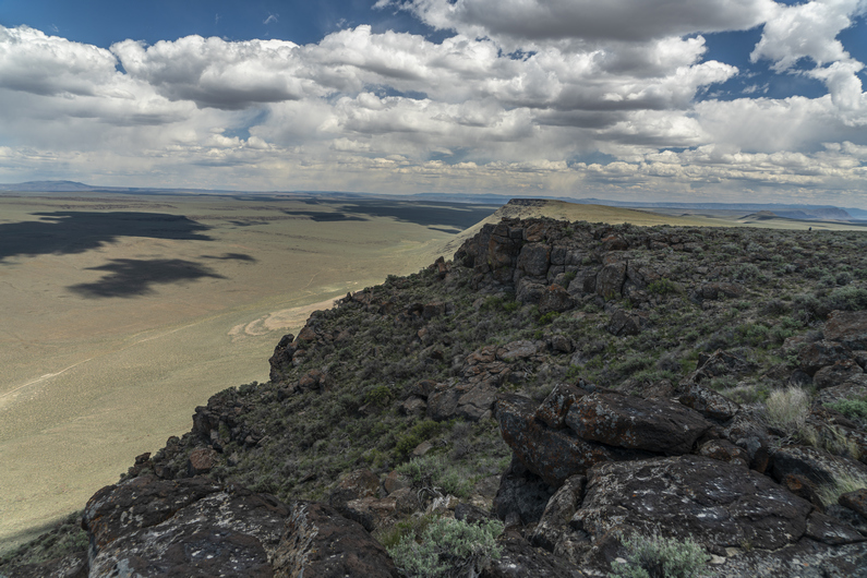
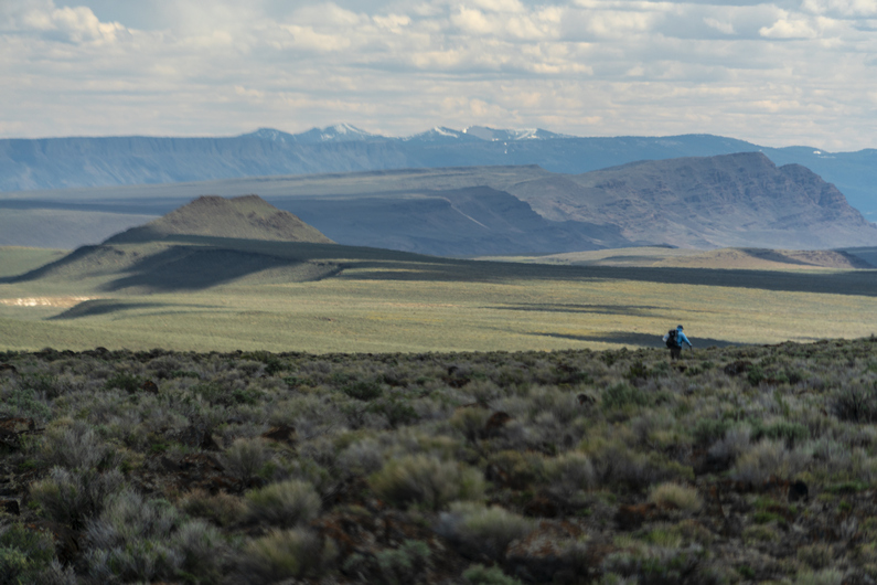
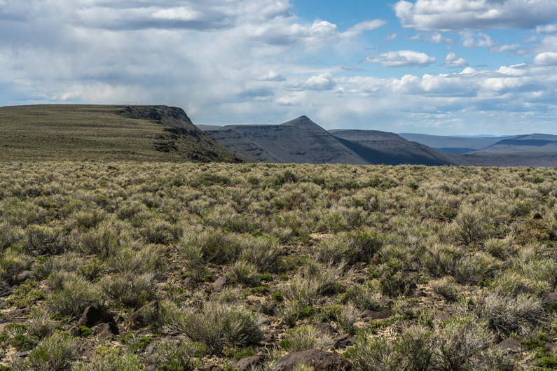
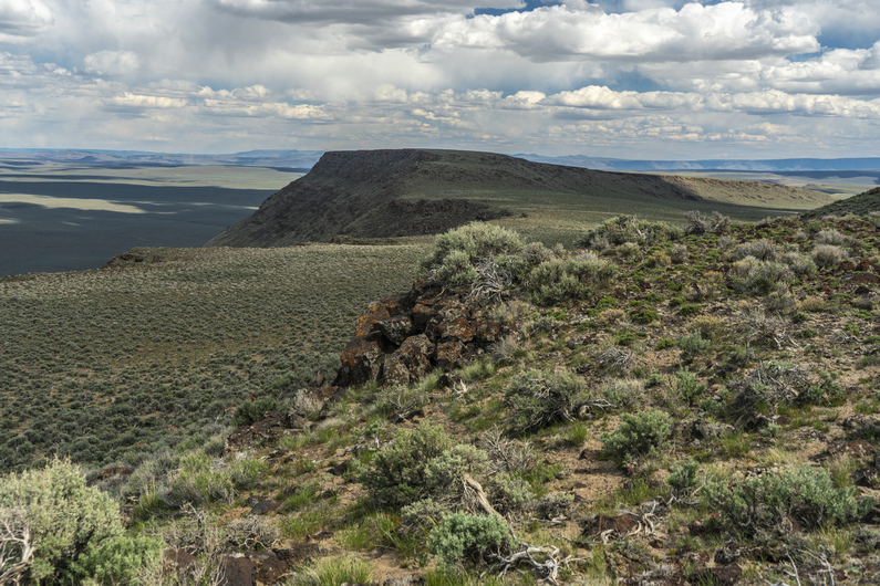
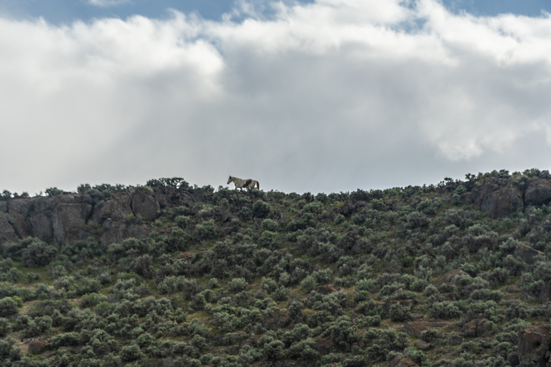
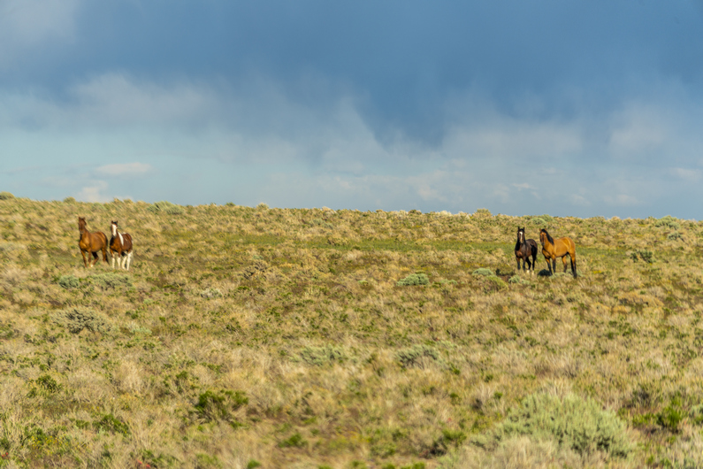

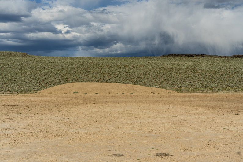
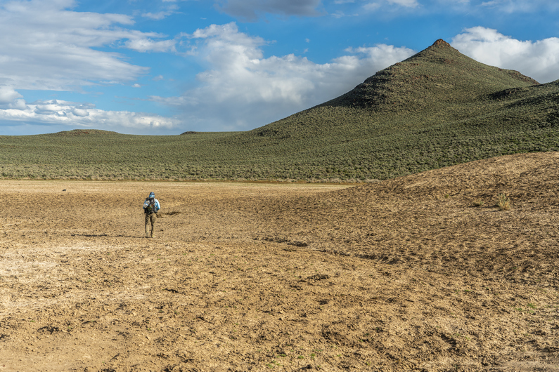

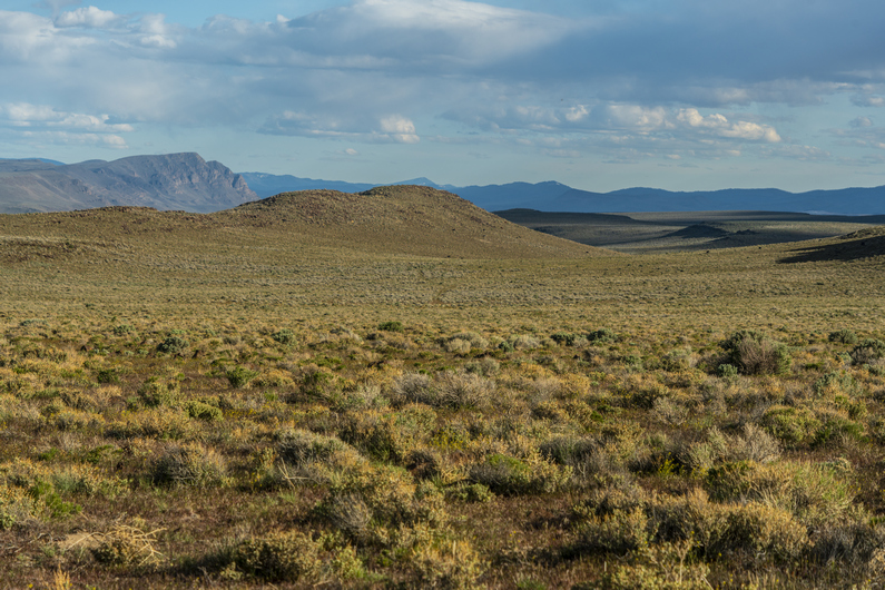
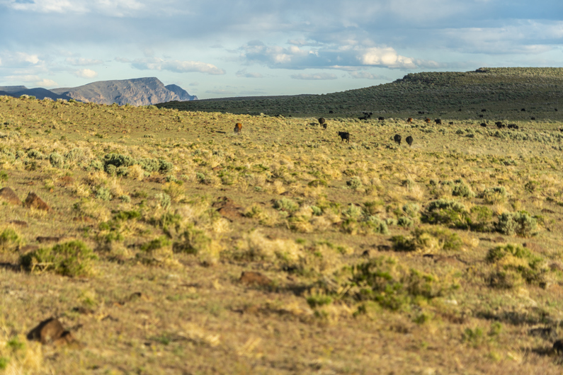
Slept warmer last night with my new sleeping bag liner. I was surprised it added as much warmth as it added. Still, I’d rather just have a quilt that keeps me warm on its own. Next time I’ll bring a warmer quilt.
Donny and I started walking around 8:30 this morning. We had camped at the base of the climb up to Diablo Rim, and now we have an 1100ft climb over the next few miles. Most of today will be cross county.
We gained a smaller ridgeline, which we hiked for a while as we approached Diablo Peak. Then it’s another climb to a higher ridgeline. The climb isn’t too steep or difficult here.
We gain the ridge and the views are getting good. Diablo Peak is ahead, and we pick a path to the top. The climb is short, but there are multiple false summits along the way. We reach the summit of Diablo Peak, high point of Diablo Rim, at 6147ft. Wow!! Awesome views over the Diablo Mountains Wilderness study area and Summer Lake, which is mostly dry. Outstanding.
We stopped here for lunch and soaked in the scenery. This view was time lapse worthy, with the billowing clouds all around. It looked like rain all around on the horizon, but clear above us. Perfect.
Next, we begin the descent down Diablo rim as the scenery continue to impress. This reminded me a lot of Central Nevada, my hike on the basin and range trail in 2020. Walking a ridge line overlooking a massive basin, and dried lake beds. Best views along the Oregon Desert Trail, thus far.
As far as cross country hiking goes, I found this walk to be fairly easy going. Sure, there were some rocks to step over, but there was no soft sand like the valleys below, and the sagebrush was generally not as thick.
I really enjoyed the hike along Diablo Rim. I felt like we were getting somewhere now. There were some snow capped peaks and ridges in the distance multiple directions.
Soon It was time to drop down off Diablo Rim. After doing so, I found an arrowhead made of a dull looking obsidian. Cool.
Next we joined an old 4×4 road. We’re still in Diablo Mountains Wilderness study area, where there’s no motorized traffic allowed. So these roads here are decades old, and nature is reclaiming them. It’s 6+ miles to the next water cache now.
In the distance we saw some animals, which we thought were cows at first. As we got closer, we could tell they were wild/feral horses. At first we saw one, then a few more, and eventually, we realized the herd totaled about 20. The alpha headed up to the top of the ridgeline, while the rest of the herd ran off through the sagebrush. These were the first horses we’ve seen on the ODT, and I have a feeling we’ll see many more.
Next, we passed a few water holes, which were man-made. They look like dry lake beds now, But there was water here. Ah, that’s what sustains all of these horses.
As we continued hiking, we saw a few more horses. Then we saw a few cows. Over the next hill, We got our first view of giant water hole. There were a ton of cows here, and they began to flee as we approached.
Our water cache is here, near the water hole. We found two coolers filled with 20+ gallons of water. I have 2.5L now, enough to get me into town tomorrow, another 14 miles.
We set up camp near the water cache. It was rather windy tonight and really, nowhere to get out of the wind. Hopefully it dies down soon.
ODT Day 10 Map

Day 11: Resupply in Paisley & Summer Lake
May 22nd
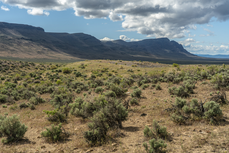
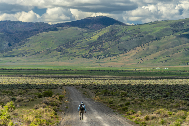
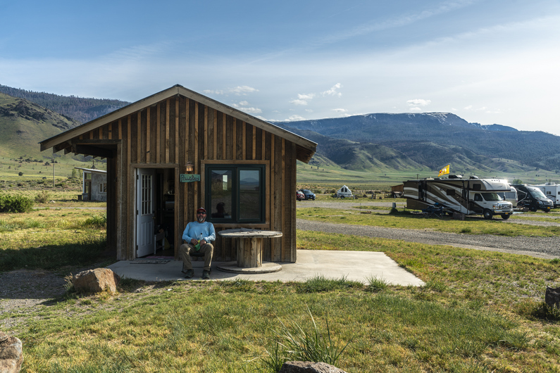
Started hiking at 7:30 this morning. It’s about 14 miles to Paisley, so we’ll reach town mid-day for resupply.
We hiked rocky old 4×4 road for a few miles, which led to a larger dirt road. Now we can really cover some miles. I found my first agate of the hike here along the road, but it was nothing special.
After exiting sand hollow canyon, we emerged into an open valley and the town of Paisley can be seen in the distance now. A rancher was driving out of the canyon and stopped to see if we needed a ride. I said no, we’ll be fine road walking the last 8 miles or so.
We reached town around noon, and stopped at the Sagerooms Motel. There was no office, we had to call a number on the door. No answer, left message. Time to eat lunch at the Pioneer Saloon while we wait.
The waitress told us the owner of the motel also owns the summer lake hot springs resort, about 6 miles away, and gave us their number. I got ahold of the owner and he informed us the motel was booked, but he could pick us up and take us to the Hot Springs Resort. Sweet.
We did our grocery shopping at the Paisley mercantile, ordered a pizza to go from the saloon for dinner, and the timing worked out perfectly; Duane (hot springs resort owner) picked us up just as we finished. We really lucked out, as the resort is booked into July, and typically requires a 2 night minimum. However, they had a last minute cancellation, and he was ok with letting us stay for one night.
After getting settled in at the cabin, we took a soak in the hot springs. There’s an indoor soaking pool, and a couple of outdoor pools. The water was nice, and it was a relaxing way to end our last section of hiking.
We met a girl named Melanie at the indoor pool, and she invited us over to her campsite (the hot springs resort also has rv and tent sites) later for a fire. However, she came by just before dark and said she was tired and going to bed. That’s how we felt, having covered about 14 miles today by noon. On the bright side, she offered to take us back to Paisley tomorrow morning, so we can continue our hike. Nice, one less thing to worry about in the morning.
ODT Day 11 Map

–> Continue reading Oregon Desert Trail Section 3: Paisley to Lakeview (51 miles)
Back to Oregon Desert Trail Thru Hiking Guide & Journal index
Related Images:
Oregon Desert Trail Section 1: Bend to Christmas Valley (2022 Thru Hike Journal)
I hiked the ODT eastbound in the spring of 2022. I completed the 739-mile hike in 43 days, which include 7 zero days. I started the ODT on May 12th at the Tumulus Trailhead and finished on June 23rd at Lake Owyhee.
This is my trail journal, with photos, from my ODT thru hike. Visit Oregon Desert Trail Thru Hike Guide & Tips for an overview of the ODT, and more about the logistics of hiking this route.
Day 0: Travel Day
May 11th
I was up late last night packing, and had to get up at 3am for my flight this morning. The ride to the airport was a white knuckle drive, dodging hundreds of deer alongside the road.
I flew from Traverse City to Chicago, had a 3-hour layover, flew to Phoenix and had a 5-hour layover there, and then flew to Redmond, Oregon. I met up with another ODT hiker named Kai at the airport, we’ll be starting this hike together. We got an Uber to our hotel in Bend, about 20 minutes away.
Checked in to a hotel around 8:30pm, or 11:30pm EST, where I came from. Long day on 3 hours of sleep, so I passed out early. Tomorrow, we hike!
Day 1: Oregon Badlands Wilderness
May 12th

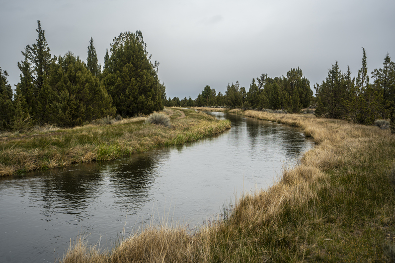

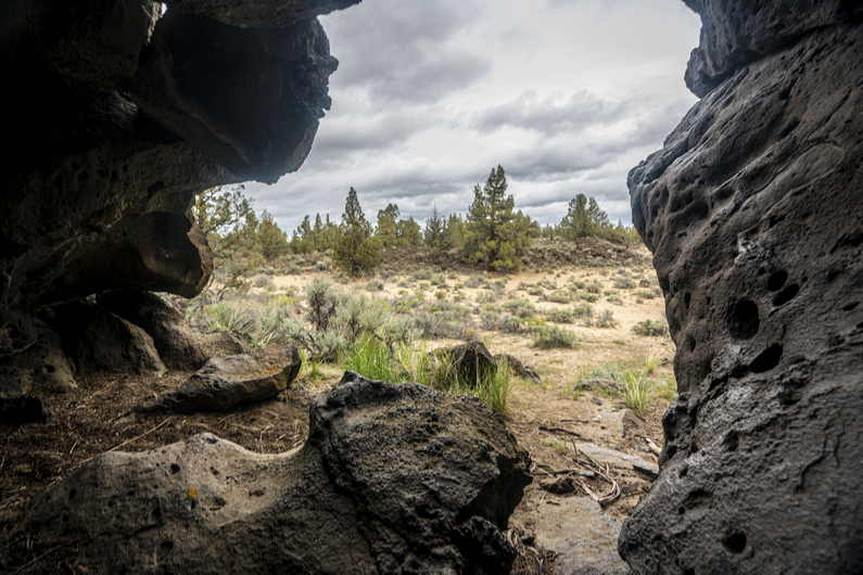

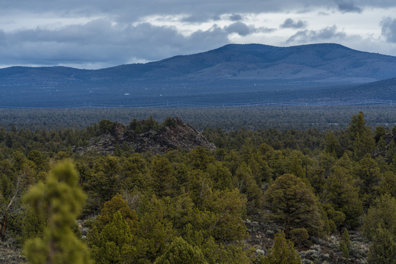
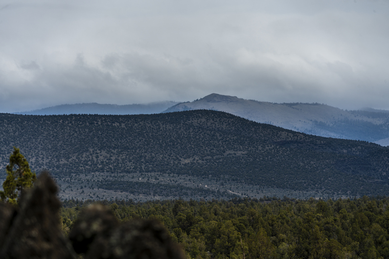
Woke up at 7:00 a.m., went to the grocery store, and packed up. Hit the post office to mail out a few things back home, then an Uber ride to the Tumulus Trailhead, the western terminus of the Oregon Desert Trail.
The ODT starts in the Oregon Badlands Wilderness. The Western Terminus is pretty underwhelming; mostly flat with small rolling hills that obstruct any possibility of a view, sagebrush, juniper trees and deep sand.
It’s been an unseasonably cold and wet spring In the Pacific Northwest, and we were feeling it today. The temperatures will be in the 50s For the next few days, overcast, windy with rain and the possibility of even some snow. The overnight low will be In the upper 20s tonight. This is why It’s not recommended to start The Oregon Desert Trail much earlier than mid-May.
Without much to see, first few miles went by pretty quick. I was expecting the Oregon Badlands Wilderness to be more like, well, Badlands. I guess the term has a different meaning here. This area was covered by an old lava flow, with outcrops of basalt all along the route. There were a few small “caves” along the way, but nothing very extensive.
We reached our first water cache about 10 miles in. Another ODT hiker Who started a few days before us had placed some water caches, and asked on the ODT Facebook group if anyone else needed water at these locations. Sure, won’t pass up the offer, especially since we didn’t plan on doing any caching of our own, without a car. The first 160 miles or so are very dry, and caching is pretty necessary to avoid huge water carries. From here, it’s another 20 miles to another water cache, so this really helps.
After topping off our water, we crossed the highway began hiking off-trail towards Horse Ridge. It was sprinkling again, as it had been on and off throughout the day. Kai’s pace was really slowing, his backpack giving him some issues. Mine felt great, so I offered to take 10 pounds off his back. This helped his shoulders a bit, but we were still moving pretty slow. He overpacked like crazy for this hike. I’m guessing he will be mailing some things back home after this first section. We didn’t start until noon today, So I wasn’t expecting much out of a half day. But the terrain was so easy, I was expecting more than 11-12 miles out of 7 hours of hiking.
We reached camp around 7pm. Not a great spot, just trying to get out of the wind. There was a lot of deep sand so I had to find heavy rocks to weigh down my tent stakes.
It’s good to have day 1 in the books. Tomorrow will feel like a thru hike, instead of that awkward feeling on day 1, where it’s just a shock to be out there. Day 1 is just a weird, awkward adjustment period for me.
ODT Day 1 Map

Day 2: Pine Mountain Observatory
May 13th
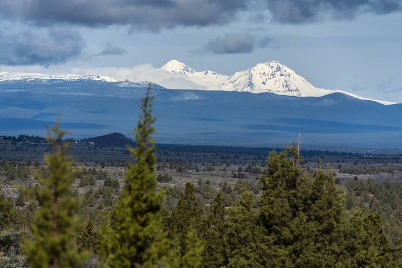
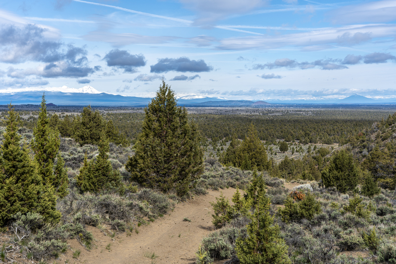
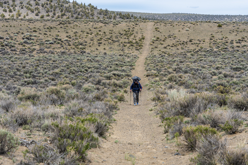
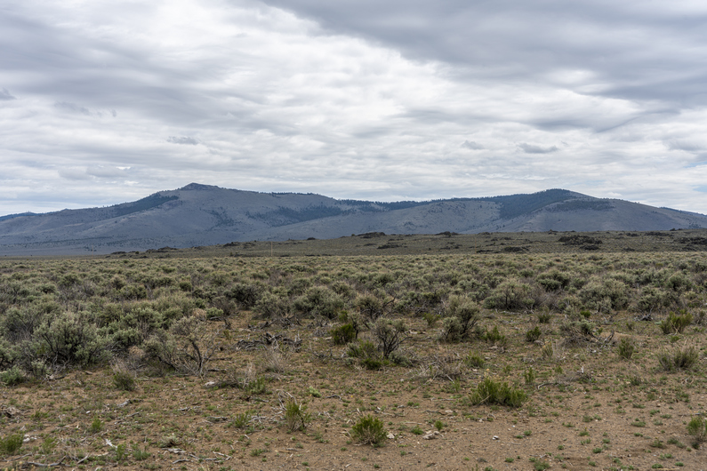

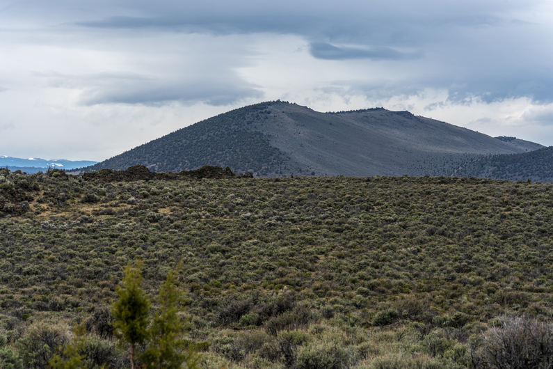
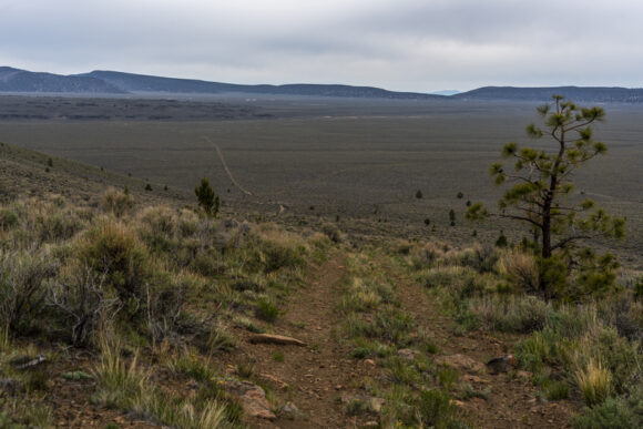
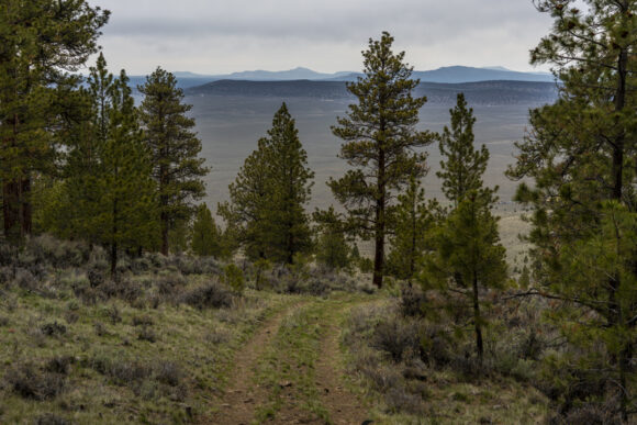
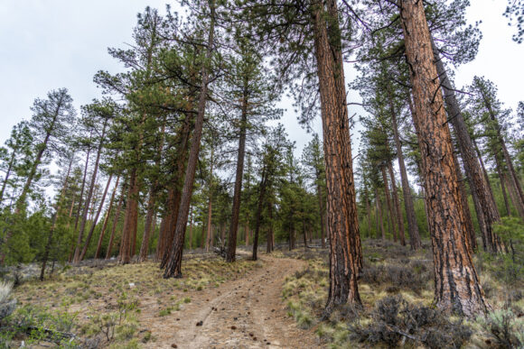
Woke up at 6:45, surprised to see the sun shining on my tent. Some sprinkles last night but nothing major. I was ready to go by 7:45, but Kai didn’t get packed until 8:45. He had a lot more gear to pack than I did!
We start today with a 600-ft climb. It’s mostly soft, deep sand, too. We Emerge to a flat plain, then had up a valley along Horse Ridge. It’s another 800ft climb from here. Behind us is the snow-capped peaks on the eastern edge of the Cascades. Very impressive.
We climb over Horse Ridge and down into Millican Valley. After a short break, we pass through our first herd of cows and hike towards a lonely dirt road cutting across the valley.
On the other side of the road, we begin our approach to Pine Mountain. Our pace is painfully slow now. Kai is having some trouble with his pack, hurting his hips and shoulders. I’m having a hard time walking half my pace, walking 2 minutes and waiting two minutes. So, I decide to go ahead and we’ll meet at the water cache at the top of Pine Mountain Observatory. I took about 8 pounds off his back to help lighten his load and make things easier on him.
It felt good to hike at my normal pace again, and I made quick work of the approach to Pine Mountain. Then, it’s a 2000ft climb to the top. The climb was steep and quickly wore me out. The second half of the climb was tough. Near the top, I entered a pine forest, first along the ODT.
When I reached the ridge line, the terrain flattened out. Finally. Now I could just walk again. Still 2.5 miles to go.
I reached the pine mountain observatory around 6pm, and retrieved my water cache, left by another ODT hiker who started a week ago. There’s a free campground here too, so this is the obvious spot to camp tonight.
I set up my tent and beat the rain, jumped in my sleeping bag and got warm again. However, I got a text from Kai saying he’s had a bit of a tragedy back home, on top of the pack issues he’s been having. His feet are killing him and he’s barely crawling along. He says it’s unlikely make it before dark. Crap. I have his headlamp, along the things he gave me to lighten his pack. Reluctantly, I offered to hike back down to him and take his pack, slackpack him to the top. So that’s what I did. Got dressed again and headed back out.
Kai was about 100ft from the top of the big climb when I reached him. He was barely moving. I took his pack and we knocked out the last of the climb, emerging onto a more gentle road. We hiked on into the darkness, reaching camp around 9:15pm.
I hadn’t eaten since about 2pm, but wasn’t hungry at all. I should be. Drank one sip of water and just went to bed. The extra 5 miles to go back down to Kai put me somewhere around 23 miles on the day.
ODT Day 2 Map

Day 3: Hiking Solo, Again
May 14th
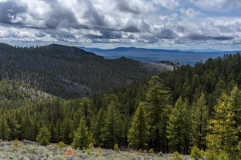
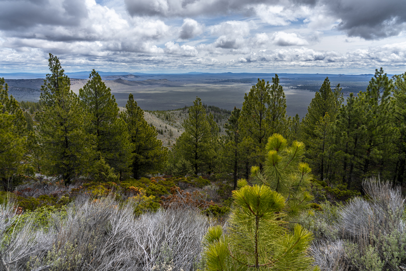
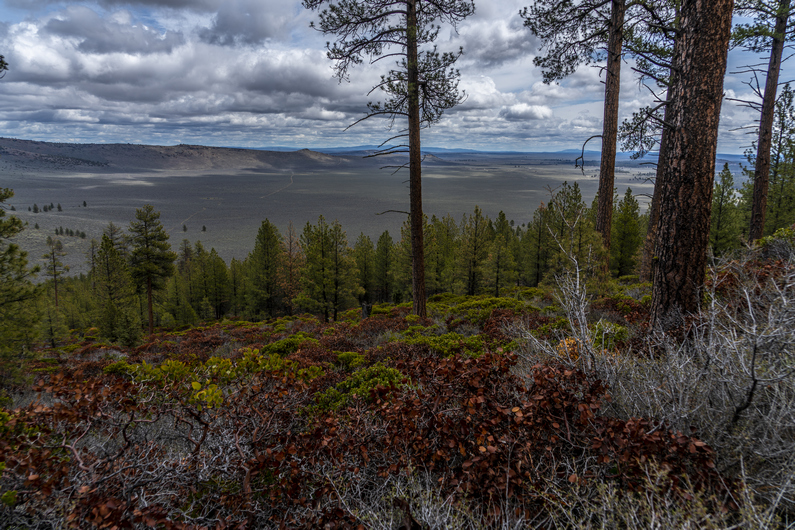


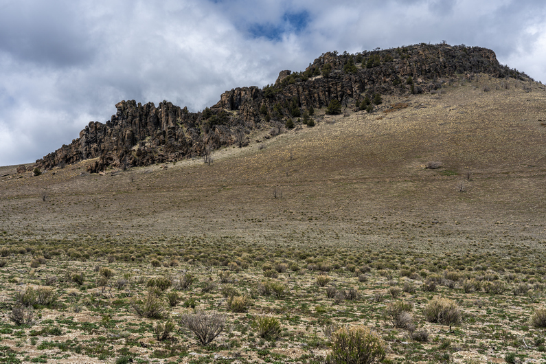
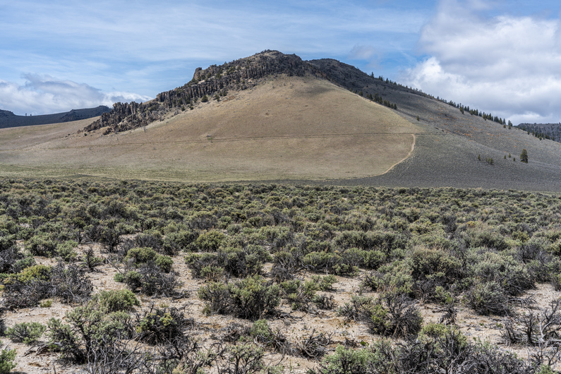

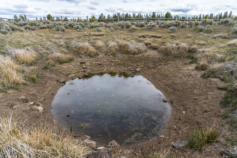

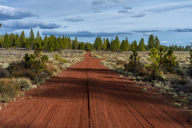
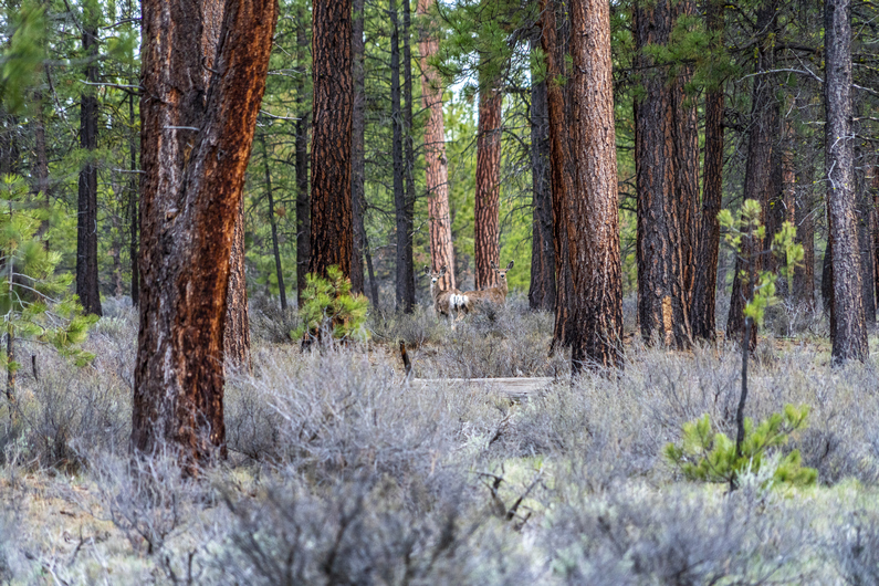

It rained fairly hard overnight. And, it rained well into mid-morning. I’m always slow to get up when it’s raining. I don’t typically hike in wet climates, I’m more of a desert guy. Besides, I’m not concerned about covering big miles either on day 3. Having done minimal pre-hike training before coming out here, I had already planned on 20 miles per day max for this first section.
Kai made the difficult decision this morning get off trail this morning. There was a very small amount of traffic coming through the top of Pine Mountain, but instead of relying on a hitch, I set up a ride for him. I had been talking to Donny, who’s starting the ODT tomorrow, and will be up at Pine Mountain today to cache water. I sent him a message and asked if he could take Kai back to Bend after dropping off his water heater, and he said no problem.
Kai and I said our goodbyes, and I started walking at 11:45. A really late start, but the terrain ahead looks pretty easy and I’m still hoping to get 20 miles in today. Once again, I find myself In that familiar state; Alone.
The walk down off Pine Mountain was pretty nice, with some pretty massive views over Kotzman Basin and Beyond. On the way down, There were a few groups of people going up On dirt bikes, razors and 4×4 trucks.
Now I’m down on the flat valley floor, and the walking is very easy. The view back up to Pine Mountain was pretty nice from below. After walking through Kotzman Basin, I enter a bit of a forest on my way to Pumice Flat.
Next I hike past an electrical substation, and then reach Sand Spring. I have this one marked as reliable. Sure enough, there’s some water here. But it’s a typical desert water source… Not the greatest. It had a yellow tint to it, even after filtering it. I took 5L to my next water source, 32 miles away.
The route ahead really reminded me of New Mexico on the CDT. Volcanic rock and road walks, with a mixture of Forest and Desert Scrubland. The only real difference is the Sagebrush here an Oregon. This gave me deja vu all day long.
Now, the route passes by a bunch of volcanic buttes. Red scoria rock is everywhere, and the red rocks make for attractive backroads as they contrast against the sagebrush that surrounds them. Scoria Is pretty much the same as pumice but darker. There’s lots of pumice around, too.
South of Plot Butte, I came across a couple of troughs filled with water. One of these was not on the map, nor was it indicated by a waypoint on the ODT water sources. The water was pretty murky though, and probably not any better than what I filtered from Sand Spring.
I saw my first deer of the trip as I hiked through Watkins Flat. It was early evening now and I wanted to at least reach Quarter Butte, an hours’ walk away. I saw two more deer near Quarter Butte, but I didn’t see any campsites here. Another 10 minutes down the road and I found a spot that will work. Nothing special, but some good tree cover.
I hiked 20-21 miles today, not bad for 7.5 hours including breaks. My feet are a little sore, but I’m feeling good about my pace thus far. Before coming out here, I really wasn’t sure what to expect with the ODT in terms of miles per day. This is the first long route I’ve done since the CDT that was an existing route, not one that I created from scratch. I’m used to bushwhacking, climbing up and down pour-offs and doing a lot of scrambling. I know the ODT is supposed to be 1/3 off trail, but I highly doubt it will compare to the routes I am used to doing. I was shooting for 20 mile days out here on the ODT, but once I get my trail legs, I feel like 25 mile days may be more realistic, even with the off trail miles. But we’ll see.
ODT Day 3 Map

Day 4: Volcanic Plains of Squaw Ridge Lava Bed WSA
May 15th
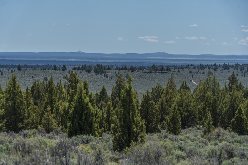
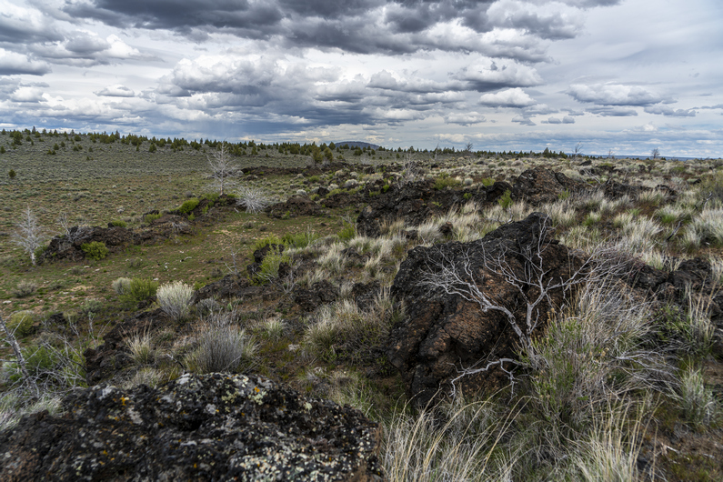
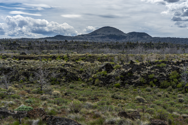
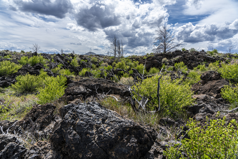
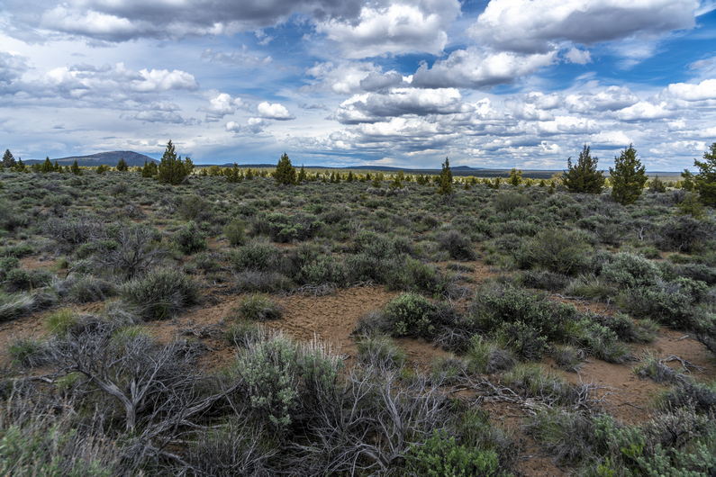

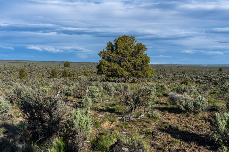
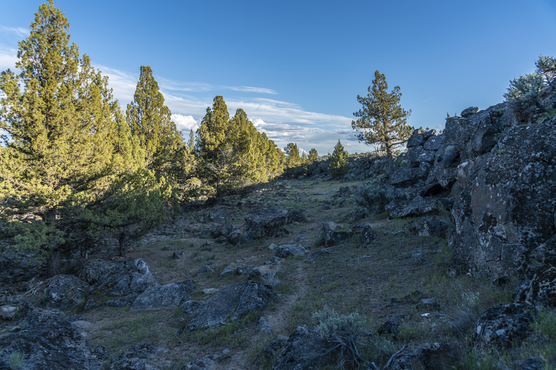
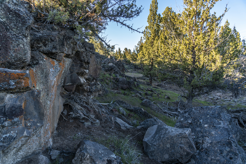
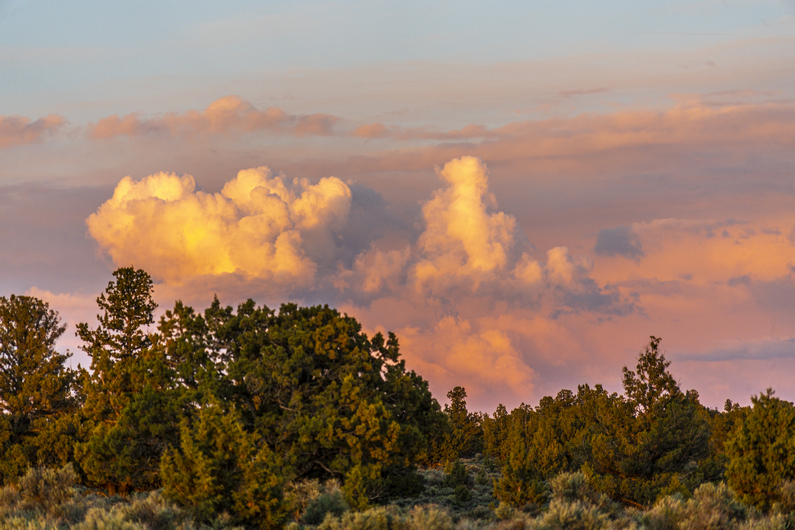
I took my time getting up today. I usually like to start the first section of a long hike with lower mile days, best to avoid injury. So really, I’m not looking to do more than 20 miles a day yet. And I was able to do that from noon on yesterday, So I don’t feel the pressure to get moving at the crack of dawn. A lazy morning like this is a bit of a luxury. I don’t remember many of them in the past on trail.
I started walking around 9:45. More of the same to start the day; Pine forest and sagebrush. It’s much warmer today, it’ll be in the mid ’70s. That’s 20° warmer than day 1. It was actually sunny too, and I was in a pretty good mood as a result. Funny how that works.
The route emerges from the forest and into an expanse of flat sagebrush plains with some occasional hills lining the horizon. What a wild, empty place! However, it really wasn’t all that scenic or interesting. So far, it’s just been a lot of road walks… some nice, some a little dull.
Eventually, it’s time to head off trail towards the Squaw Ridge Lava Bed Wilderness. It was maybe a mile and a half of walking through scattered Sage and Juniper. Again, not all that interesting. I did find lot of obsidian in this area though.
I reached the lava beds, and it was a little less interesting than I was hoping for. Granted, I was following the ODT route around the lava beds, instead of through it. To traverse the lava beds would surely be more difficult, but I’m confident it would be slightly more interesting. There should be some caves and potentially even lava tubes, but one must be committed to hike through this type of landscape.
There’s a dirt road that circles the perimeter of the lava bed, and that’s what I followed, as per the ODT official route. This led me to a fence line, which I followed around a private ranch.
Next, It’s a 7 mile cross-country trek across a huge expanse of sagebrush and Juniper trees, through deep sand. It looks pretty horrible from the get-go. In fact, only a few yards in, I begin to question if the route even goes through this area. But it’s just a matter of trudging through the sand for a few hours, with little distant views or much of interest along the way. Sigh.
The 7 miles was probably at least 8 After weaving in and out of the sagebrush. Near the end of the XC segment is a small gorge with Peters Creek running through it. The creek is dry, but the gorge is fairly interesting, for the 3 minutes it takes to traverse it.
After a few grueling hours, I reached a dirt road. My salvation. After bitching about the road walks earlier, I have a new appreciation for them. I’m thankful to have this one after all that terrible, deep sand.
I followed the road for about a mile and a half before reaching peters creek campground. There are water spigots here, and I wasted no time chugging the first bottle I filled. With 30 miles to go before I reach Christmas Valley for resupply, I filled all six of my bottles. This is the last water for the section (or so I thought). I also took the opportunity to wash up a bit, which felt amazing.
I left the campground and continued hiking, hoping to get another mile in or so dark. The dirt road I was following didn’t offer much for campsites, with the only clearings alongside the road occupied by ant hills. Finally, I found a spot next to a juniper tree alongside the road. With nearly 24 miles on the day, I’m pretty whooped and not all that picky. This was more miles than I wanted to do on my first section, but sometimes it works out that way.
ODT Day 4 Map

Day 5: Lost Forest Sand Dunes
May 16th
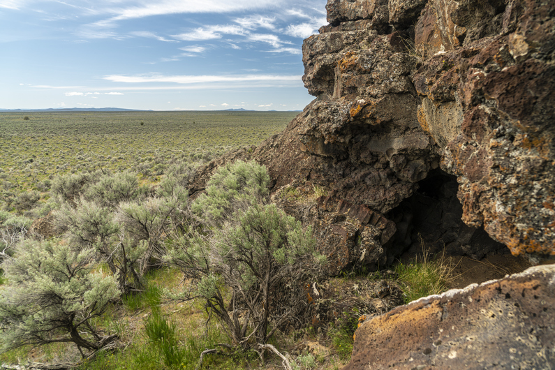
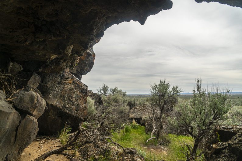

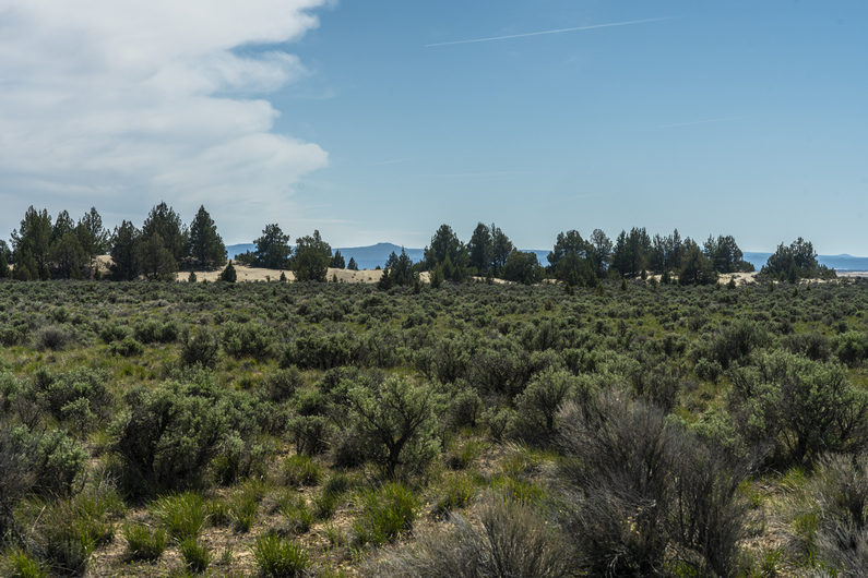


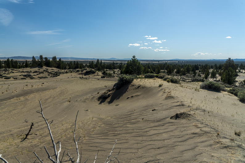

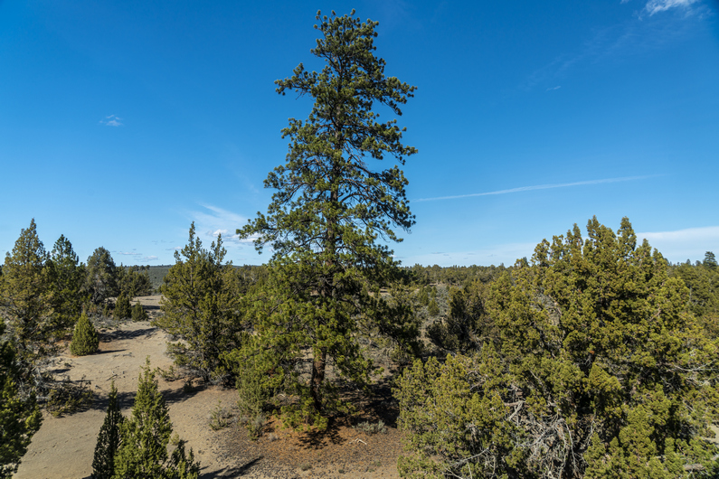

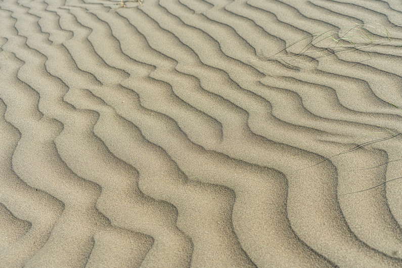
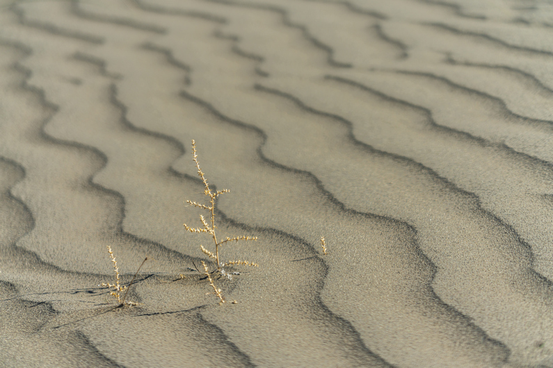

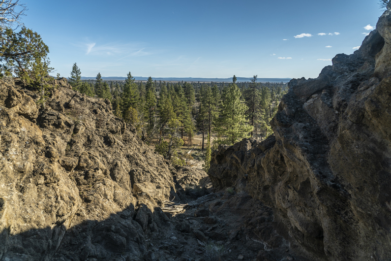
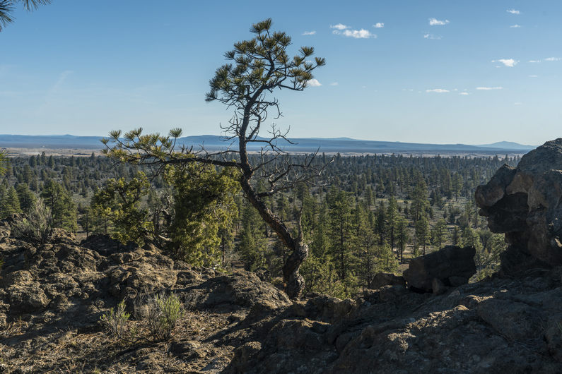
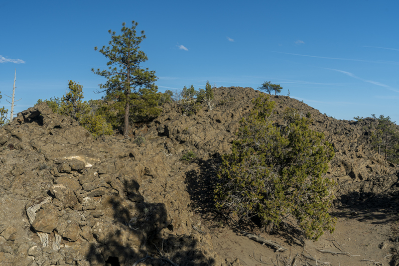

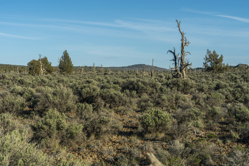

I opened my tent to a sea of sagebrush, pretty bland. The sky was overcast today as well, which somehow makes the landscape look even more plain.
Alright, back to walking this dirt road. I normally take more pictures, but there just wasn’t anything worth turning the camera on for. I walked a series of dirt roads for 2 hours, then I took a break. From here, I could see sand dunes in the distance at the edge of the Lost Forest Research Natural Area. That is where I’m headed next.
I continued walking the dirt road to Mean Rock Well, as it’s marked on the map. There was water here in a trough, actually water in multiple troughs. Water clarity looked pretty good too. But with five liters on my back, I just don’t need it.
Moving on from the well, I followed a cow path along a fence line towards a small ridge. This little ridge was only 40 feet tall or so, but it ran for a few miles.
As I got closer, I could see what looked like small caves in the rock. So, I went in for a closer look. There were indeed a few small caves here, more like rock overhangs. Lots of animals nesting in here. There was room to have a fire, and there was a small hole in one side of the wall of the cave that would have been perfect to create airflow, preventing smoke from billowing up inside. But I won’t be camping here, I’m just admiring the potential.
Next I entered the Lost Forest Research Natural Area. Here, there’s a stand of ancient ponderosa pines separated from the nearest contiguous forest by about 40 miles of arid desert. The forest covers about 9,000 acres, and has sand dunes on the outer edge. So that’s pretty interesting, it’s like an island of trees.
As I entered the forest, I could see a large sand dune in the distance. I decided to climb up to the top and check it out. Tough to climb in the deep sand, and my shoes filled up almost instantly. I’m glad I did, it was probably the most interesting thing I did all day. Pretty unique, really. The dunes weren’t tall, but it provided me a view of the lost forest as well as christmas valley.
Next I walked through Lost Forest. There is an old dirt road that runs through here. There weren’t many trees along the road, they were set a ways back from it. In the early 1900s, this region saw a boom in homesteaders. They came here to the Lost Forest forward to build their homes as well as heat them. My guess is, they did their logging alongside the road and didn’t venture any farther into the forest than needed. By the 1920s and 30s, an extended drought forced many to abandon their homesteads. This may have saved the forest from complete depletion.
It’s been said that only 1% of the lost forest is covered by juniper trees, the rest being ponderosa pines. However, the juniper trees that do grow here are big. In fact, the largest western juniper tree in the state of Oregon can be found here, measured at 68 ft tall.
Next I headed cross country towards Sand Rock, a prominent outcrop in an otherwise flat expanse of forest. It’s pretty rugged up close. I climbed up to the top to get a view. While not very tall, Sand Rock still towers above all else around and provides an expansive vista over the surrounding landscape.
After hiking around sand rock, it was time for a 1.5 mi cross country trek. This one didn’t look too appealing, with a lot of thick sage ahead. Deep sand, too. I had to empty out my shoes again at the end of it, as I’ve done multiple times already today. I’ve done a lot of desert hiking, and deep sand is typically just in the washes or perhaps the lowest parts of a valley. So far, it just seems like it’s everywhere in here in the Oregon Desert.
Unfortunately on this hike, I’ve been plagued by a wicked case of ass chafing. This is something I occasionally get at the beginning of a hike. Sweaty butt cheeks running together and getting rubbed raw. It’s horrible! This is the kind of stuff they don’t tell you about hiking. Typically though, this goes away after the first section. I just need a zero day in town and I’ll be good to go.
I followed a dirt road for another hour before finding camp. Nothing special, just a clear, flat spot alongside the road. I really felt like I was on the CDT in the Great Divide Basin in Wyoming here. Deja vu, indeed. The sun dipped below a nearby Ridge, and the coyotes began to howl. Another day in the books.
ODT Day 5 Map

Day 6: Resupply in Christmas Valley
May 17th

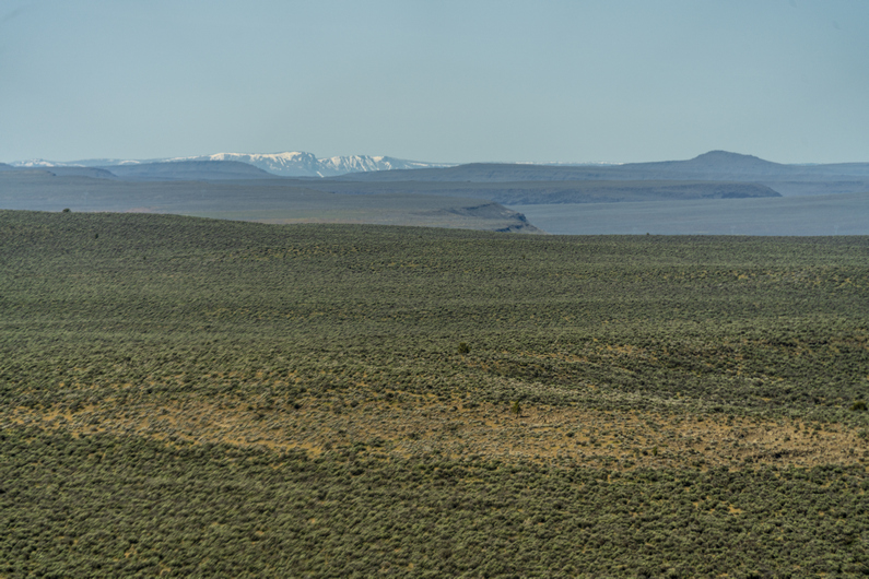

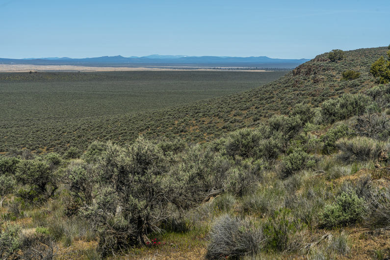

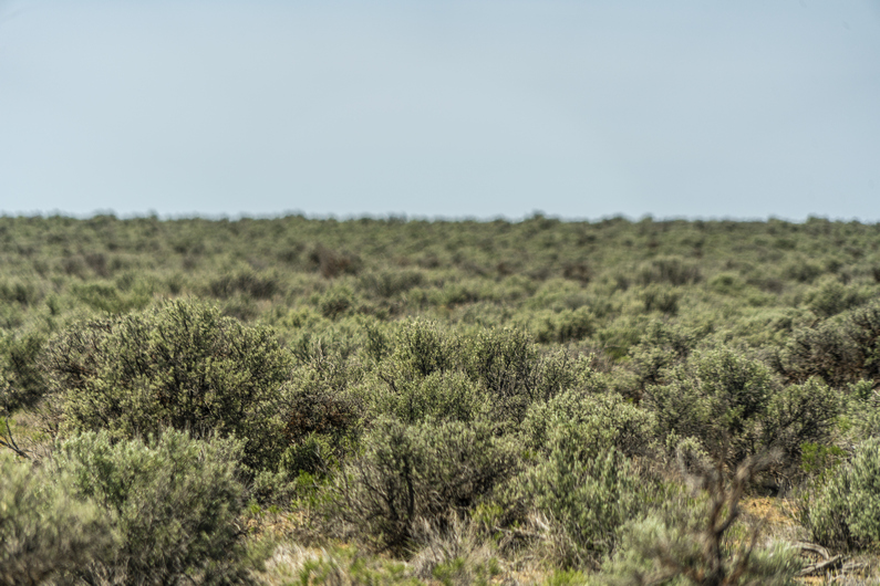

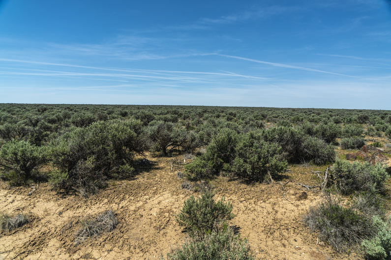
I was feeling good this morning, knowing I’ll reach Christmas Valley this afternoon for my first resupply. Hit the trail (ok, dirt road) and started working on the 9 miles I thought I had left. I had planned to walk a series of dirt roads to the highway, to avoid some rater uninteresting looking cross country hiking. However, I’d soon learn this plan is fraught with holes.
I reached a spot on my map where there was supposed to be a road junction, but nature had reclaimed the old road, if it ever existed. I couldn’t see it at all. That sucks, this would have been my most direct route to the highway. I’m not going to needlessly bushwhack all the sagebrush here for 9 miles, so I stayed on the dirt road to the top of a ridgeline.
This road faded too, and now I was hiking cross-country. I had a bit of a distant view from this small ridge, then dropped down into the valley on the other side. I couldn’t believe how many roads on the map don’t exist on the ground here. Then, I followed a very faint dirt road for several miles. Not scenic or interesting, at all.
This morning turned into a struggle to stay motivated. Well to be honest, large chunks of the scenery in this first section to Xmas Valley has been rather dull. But this was no surprise to me, as I’ve heard this about the first 100+ miles from previous ODT hikers. Specifically, I watched Arno’s ODT video series on youtube before my hike, and he was ready to quit by the time he got to Xmas Valley. But in the end, he stuck with it, and was glad he did. And I will do the same.
Eventually, I reached a larger dirt road, an actual road that can be driven. Followed this to another road, then walked this a few miles to the main highway.
There was very little traffic along Christmas Valley Rd, and what little traffic there was here had no interest in stopping for me as I tried to Hitch about 25 miles into Christmas Valley. Eventually, after about 2 hours, I got my ride from a local rancher, and I hopped into the bed of his pickup.
We drove a mile down the road and saw another hiker just as he reached the hwy. My ride asked if we should turn around and pick him up too. Of course! So we did, and he had already continued walking on the other side of the hwy, making no attempt to Hitch. Hmm. His name was Horsepower, and he said he was not stopping at Xmas valley as he still had too much food from the beginning. I didn’t know anyone skipped xmas valley, but if anyone could/ would, it sounds like it would be him. The name sounded familiar; Horsepower had hike a Calendar year triple crown last year, which is the AT, PCT and CDT all in one year. What a beast. Alright, carry on then!
Got into Christmas Valley and ate lunch at the Fast Break Chevron station. Got a room at the desert inn and entered relax mode. Yeah, I was ready for this.
ODT Day 6 Map

Day 7: Zero Day in Christmas Valley
May 18th
Caught up on town chores, a few small gear repairs etc.
I have been freezing my ass off so far at night inn my Hammock Gear Burrow 40 quilt, the old version with the horizontal baffles. The down migrates to the side, leaving no insulation on top of me. Some cold nights ahead, including a 20 degree overnight low. I need to figure something out to stay warmer.
I’ve never used one, but I was thinking of picking up a sleeping bag liner to add a few extra degrees of warmth. Of course, There’s nowhere to buy anything like that in town. The ODT guidebook mentioned a community bus That runs between Christmas Valley and Bend, So I called and made an appointment for a ride tomorrow. I’ll buy one at REI.
Also, by taking another zero day tomorrow, this will allow another ODT hiker named Donny to catch up with me. We can split a double room, and then hike out the next morning together. So this plan is starting to look very appealing.
Day 8: 2nd Zero in Christmas Valley
May 19th
Donny reached town in the morning, got a double room I moved all of my gear over. Shortly after, my bus ride was here to take me to Bend. Great timing.
It was almost a 2-hour bus ride Bend. I was able to buy a sleeping bag liner from REI, is well as exchange a pair of darn tough socks. Score. Additionally, I was able to stop at Safeway grocery store a bunch of food items that aren’t available in Christmas Valley. Double score.
It was snowing when I got back to Christmas Valley last afternoon. it was still really windy, and very cold. Just 20 degrees tonight, and so another night in the hotel didn’t sound too bad.
–> Continue reading Oregon Desert Trail Section 2: Christmas Valley to Paisley (54 miles)
Back to Oregon Desert Trail Thru Hiking Guide & Journal index


