Continental Divide Trail – Lander to Dubois Hike Overview

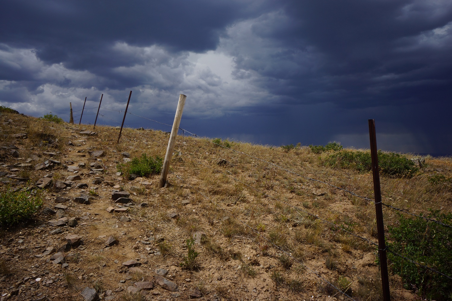
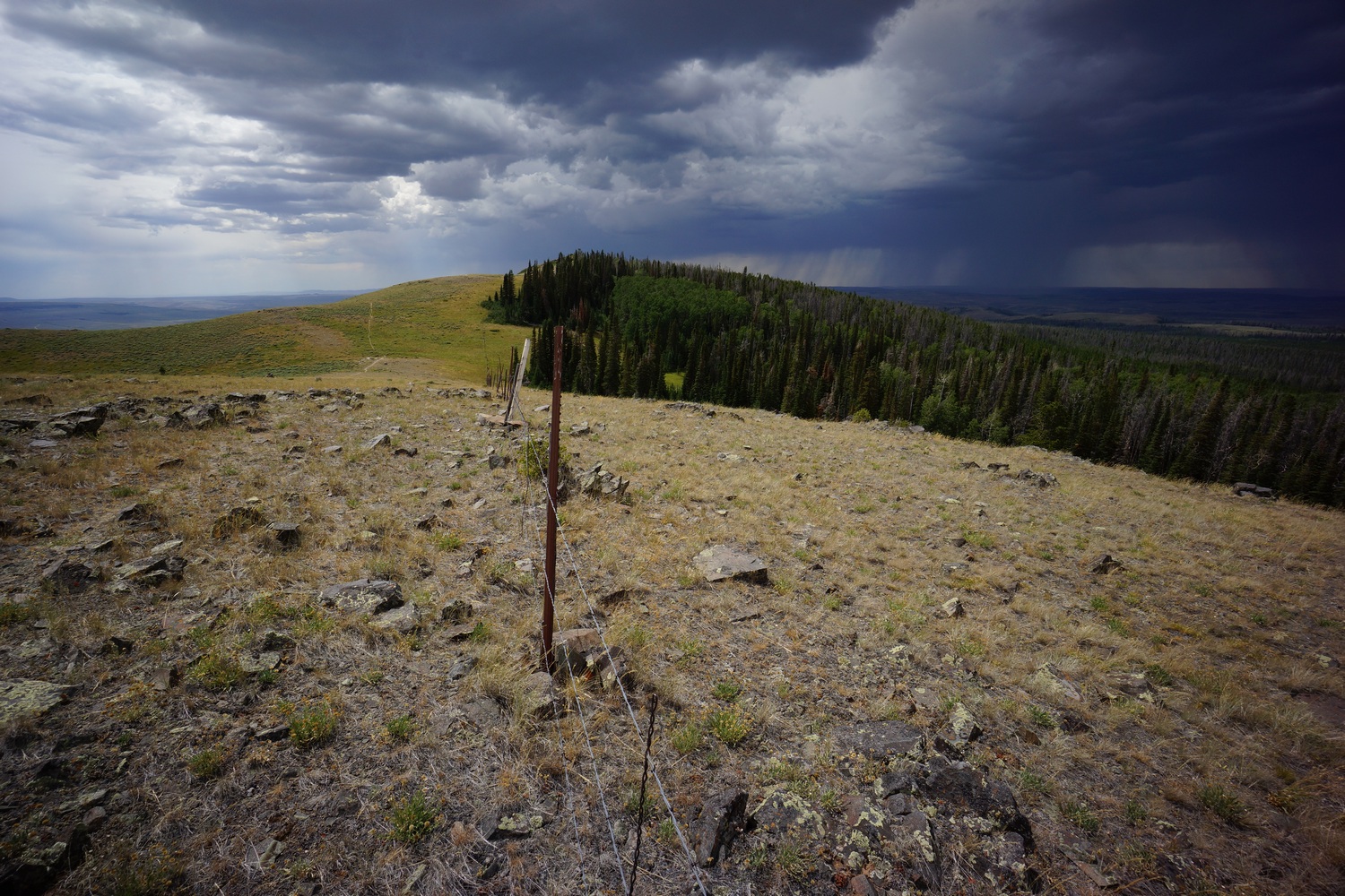
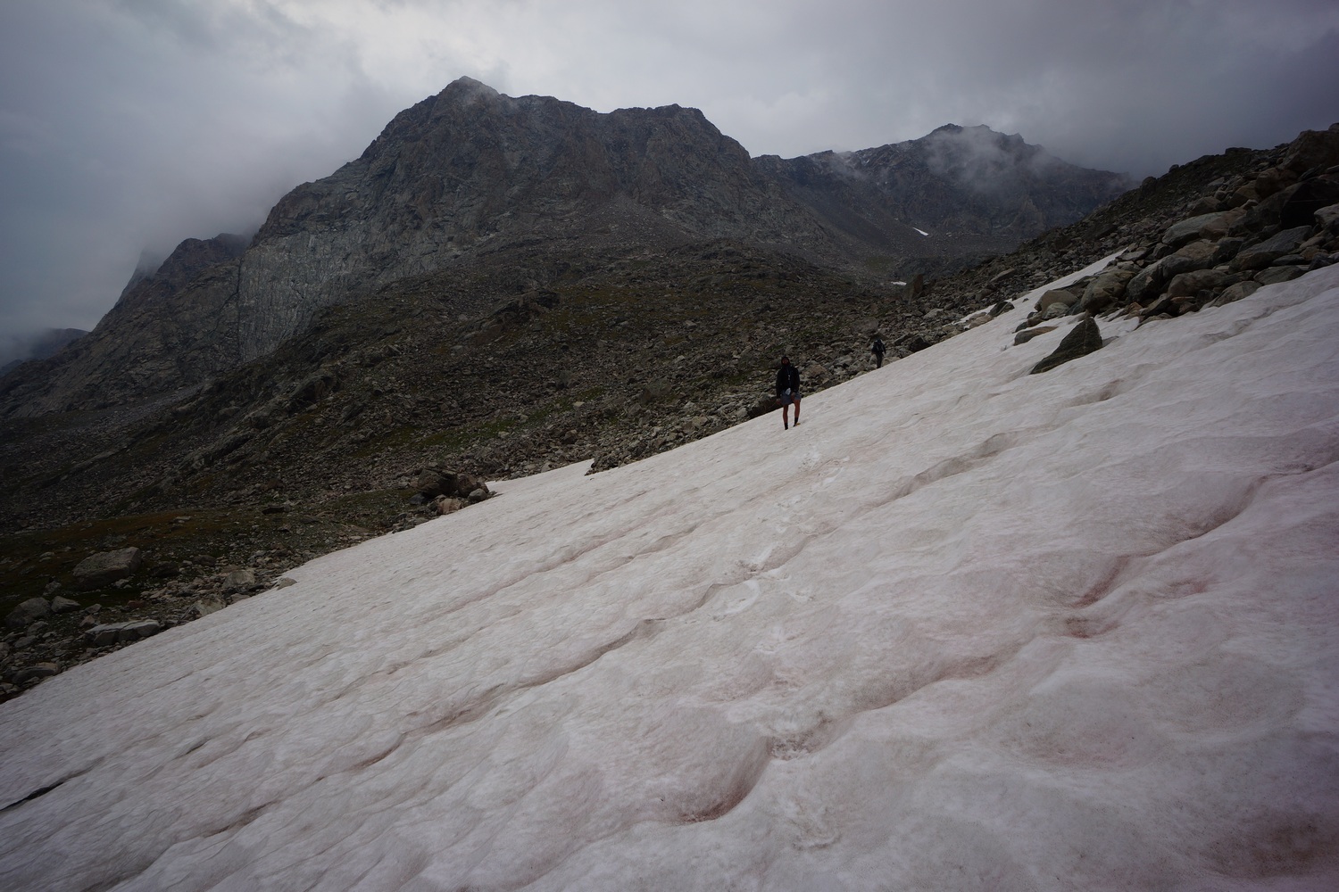
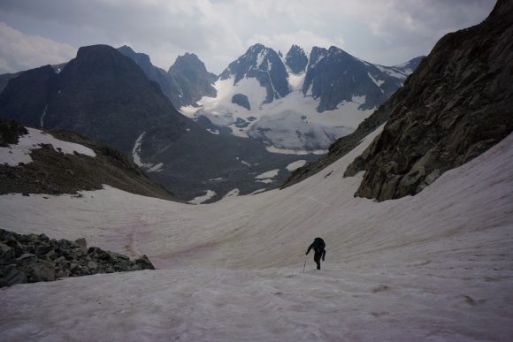
The first 30 or so miles are a lead up from the lowlands of the great divide basin desert into the high country of the Wind River Range. The next 120 miles were the most challenging, beautiful and amazing outdoor experience of my life. I had more adventure in these 10 days then the rest of the entire CDT combined. Jagged peaks, frozen lakes, glaciers, crevasses, abundant wildflowers, miles of boulders and snowfields, mountain lions, big horn sheep, steep snow traverses, scrambling and climbing, milky glacier fed rivers, and almost NOBODY to share it with. Additionally, the majority of this route is off-trail. In my opinion, the Wind River Range offers the best high alpine backpacking experience in the continental US.
In the southern Winds, we left the official CDT and began the 450+ mile alternate route I created. My route, now affectionately known as the “Famous Route”, takes a much higher route through the Winds and into Dubois, then back through the Winds and cross country through the Gros Ventre Wilderness and into Jackson. Next, we’ll hike west across Jackson Hole and hike the Teton Crest Trail north into Flagg Ranch. Finally, we’ll enter Yellowstone through the South Entrance and hike the Bechler area to Old Faithful where we’ll reconnect with the official CDT route.
Sunday July 29th – CDT Day 100
Slept to about 8am. Spent the morning getting food and gear together, and didn’t leave until after 11am.

Hopeful, Katie and I hiked down the main strip in Lander to hitch. We got a ride after 20 minutes from a guy named Eli. He dropped us off right where I had left off yesterday morning. Another guy was there at this gate on his way out, having just dropped off a couple of CDT hikers himself. Tim Green from South pass city. Nice guy.

We set off into the wind river range around 1pm today. It was a great feeling to finally be here again but I wasn’t feeling the best. Still worn out from the basin, and the egg casserole I had for breakfast wasn’t agreeing with me.
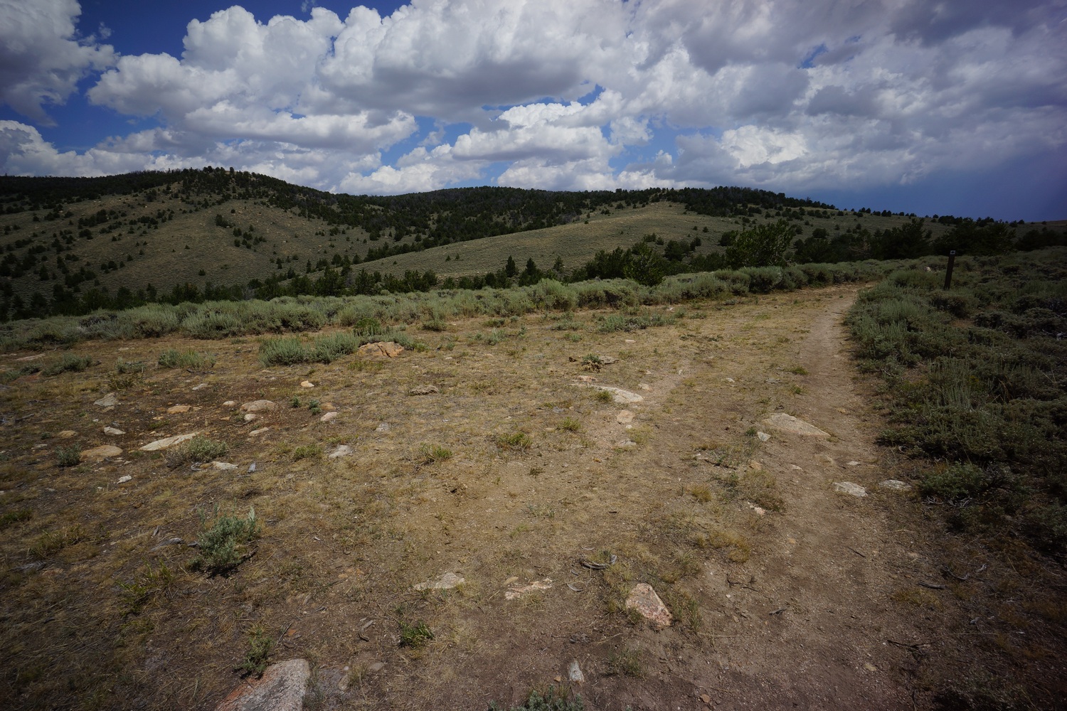
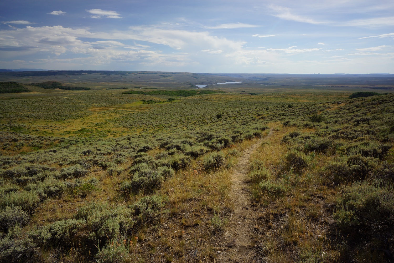
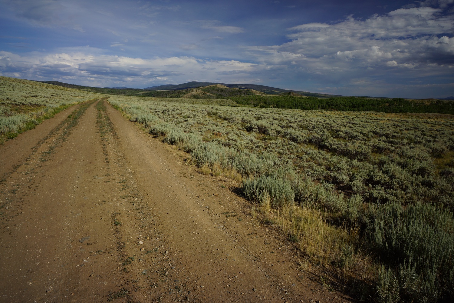
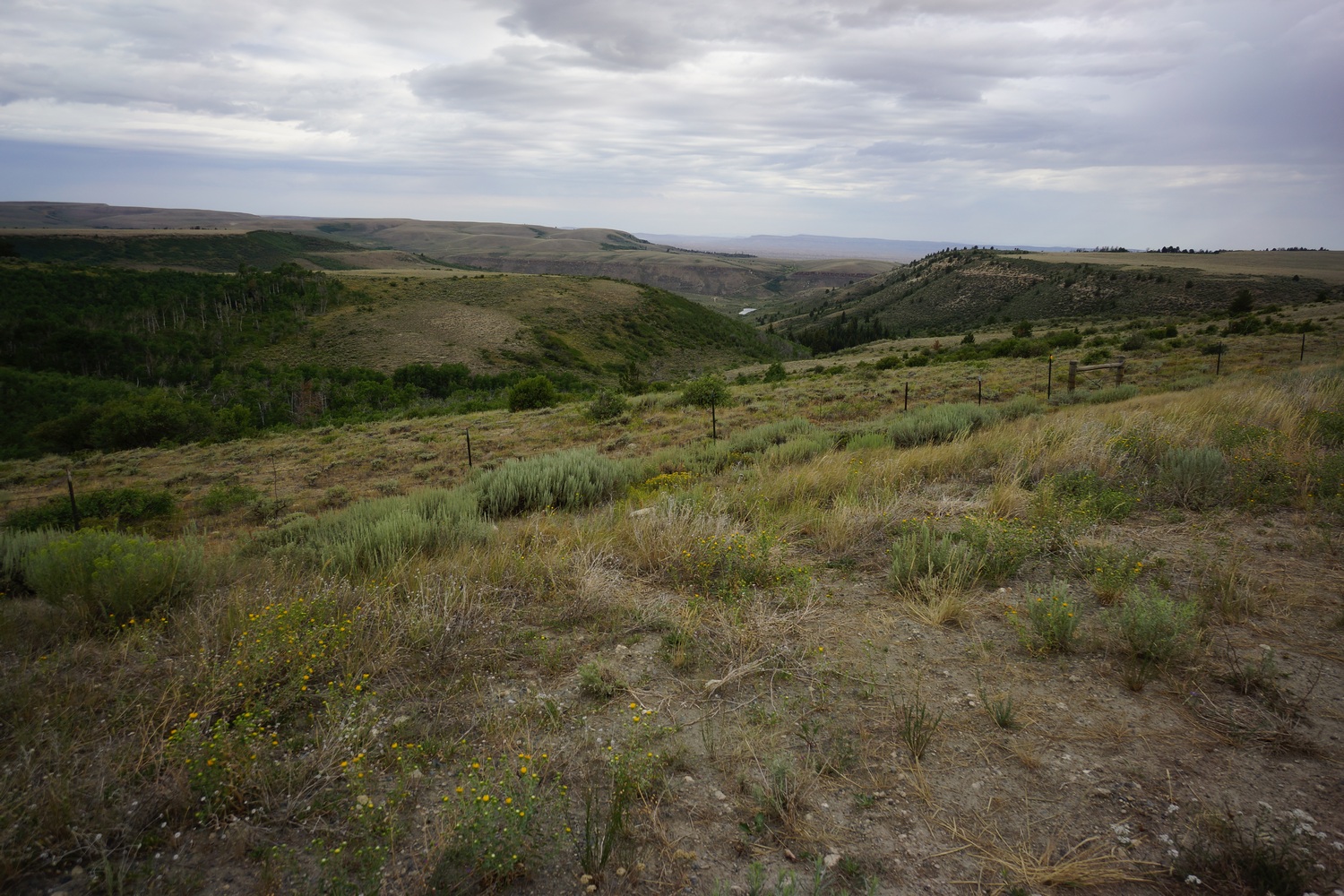
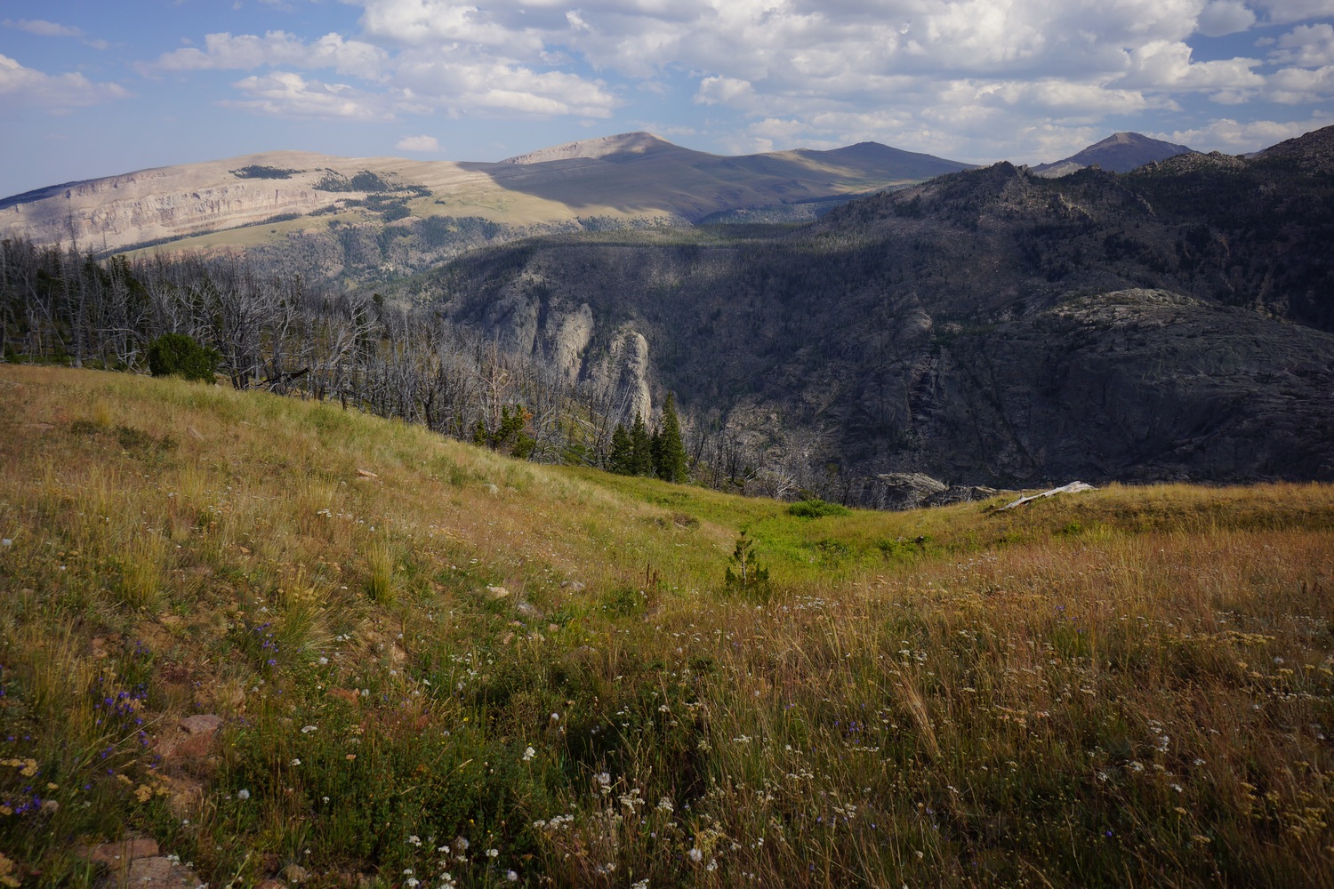
Today’s hike was an easy one on dirt roads and some trail. Little elevation gain. The landscape is now hills and forest, with Rocky outcroppings dotting the meadows. Looking back to the south, the basin is still clearly visible. Easily identifiable by the lack of trees.
Late this afternoon we bumped into Alex and Ariel, two CDT hikers from Missouri. We took a break together and chatted for a bit. They mentioned a campsite a little ways up and we decided to go for that tonight.


The 5 of us set off for the evening’s hike. Pretty country with mountains in the distance beyond the meadows.
The campsite was decent. Near a river and flat. Wind died down at sunset and it was a good night.
Miles – 14
Total Miles – 1664
Rain – no
Sleep – Backcountry, tent
Animals – none
Monday July 30th – CDT Day 101
Got up at 6:45. Still wishing I could sleep more to recover from the basin.

Started hiking at 7:45. The views kept getting better as the Morning progressed. Passed a couple of nice streams and rivers.
Now we have a 2000′ climb ahead of us. The grade was decent so it wasn’t bad at first.

At the top of the climb, there was a great view of little Sandy lake.
Stopped for lunch along little Sandy creek. This is also where the cirque of the towers alternate begins.
After lunch we started hiking the alternate. Mostly through forest. Some steep sections of trail, mostly short though.

Unnamed lake
We stopped at this unnamed lake this afternoon because it was so damn impressive. Favorite lake on trail so far. Jagged peaks make a great backdrop. Katie and hopeful went for a swim while I relaxed along the shoreline.

The trail was hard to follow after this. We thought it stayed high on a hillside above a valley, but eventually we saw a trail below. A short scramble had us down on flat and open ground, much easier walking.

This area, along little Sandy creek, was absolutely incredible. We were all in awe and took our time stumbling through here staring at the canyon walls. This is only the beginning of the treasures that lie ahead in the winds. I know this, but Katie and Hopeful are oblivious.

We ran into a NOLS group this evening, a fairly common sight here in the winds. We pressed on another mile or so to treeline and found a couple of campsites with a great view.
Tomorrow will be a tough day with 3 passes, and cirque of the towers.
Miles – 21
Total Miles – 1685
Rain – no
Sleep – Backcountry, tent
Animals – deer
Tuesday July 31st – CDT Day 102


Started hiking around 8am. Up to the top of a pass, which leads to temple lake. Just below the base of the pass was a beautiful lake, again with no name on my maps. The mountains surrounding the lake were very impressive as well.


Great views going up the pass. Knots was hiking up the pass at the same time, and didn’t stop at the up. We never saw him again today.


Going down the pass towards temple lake was incredible! Temple peak was a massive sheer rock face, which towers over the lake and valley below. We were all in awe.


First bit of hiking around the upper lake was slow. Boulders, snow pack, ups and downs over an occasional use trail. Stunning scenery though!


The trail improved as we headed downhill. Now the cirque of the towers could be seen ahead, especially Pingora. Very enjoyable section.

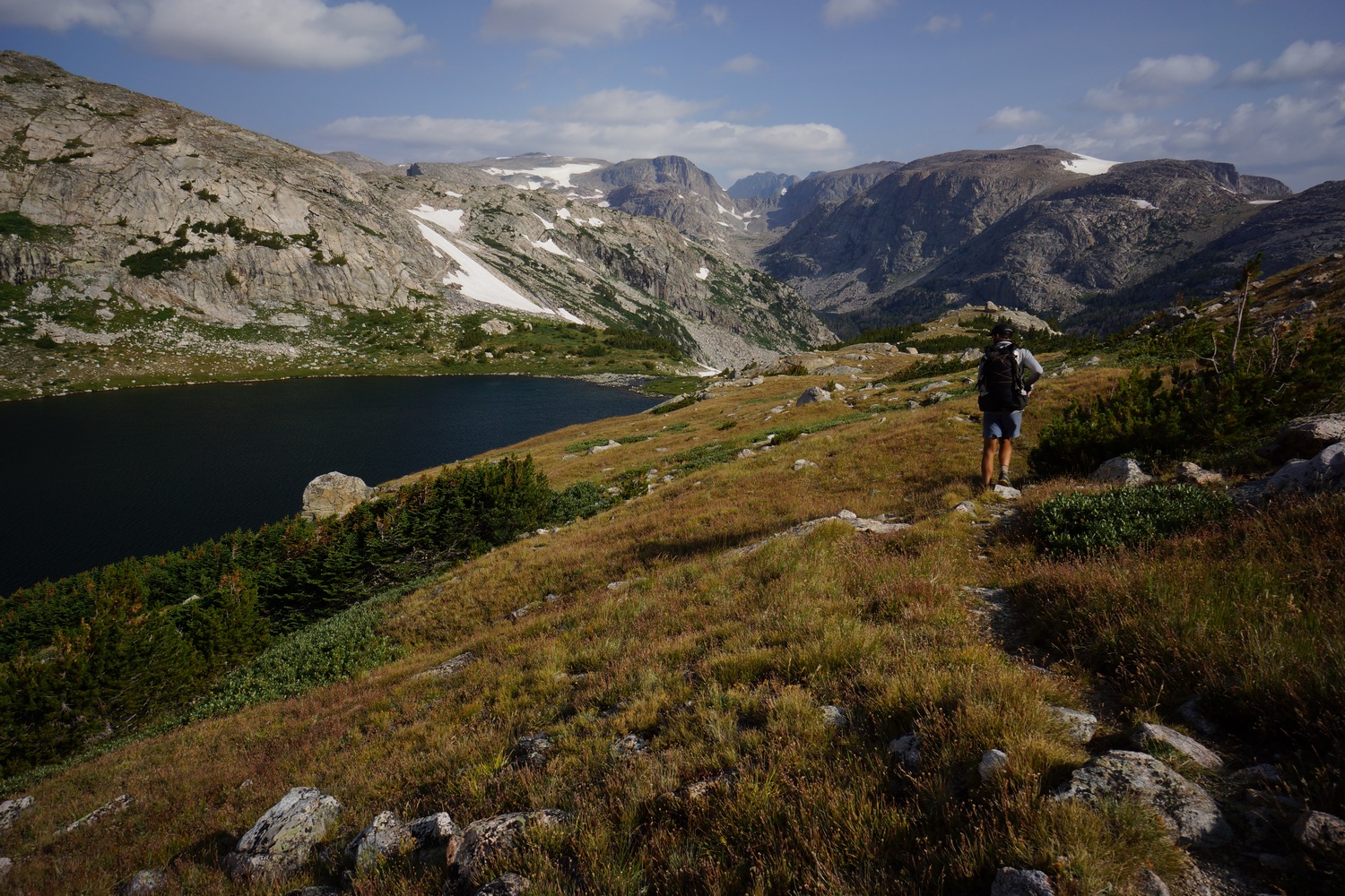
Big Sandy lake was much nicer this time. When I was here in 2014 on my wind river high route, there was a storm and I couldn’t fully appreciate the area. Lots of people around here too. Big Sandy trailhead is only a few miles away, which is probably the busiest trailhead in the winds.
The trail going up to Jackass pass starts out steep. At least I found the trail… In 2014, I Bushwhacked down the creek since I could not find a path to follow. It was rough!


Again, amazing views hiking up to Jackass pass. Lots of wildflowers and pointy mountains everywhere. Fairytale land, really.


Even though we found the trail from big Sandy lake going up, it eventually turns into a scramble up boulders. It was the heat of the day and really wearing us out.


There’s a legit trail every now and then, but often it was just a matter of hiking uphill. Below the top of Jackass pass were some of the best views of the cirque of the towers area in my opinion. These mountains just blow Colorado away. Unimaginable beauty. The kind of place you imagine in some exotic country.


We stopped for a much needed break at the top of Jackass pass. We sat here for a while looking down at lonesome lake and the whole cirque. Great spot.

Easy hike down to lonesome lake. Took another break here for water and to cook dinner.

Next we headed up Texas pass. It was really steep for the first 500ft, a little better in the middle section. More awesome views, but getting cloudy. Looks like potential rain. In 2014, low clouds engulfed all the peaks in the cirque of the towers, so it was really nice to be able to see this place in its entirety. However, we needed to get over this pass in case the weather turns.

Near the top of the pass was a long chute of snow. Same as 2014, and I was here in late August then. Not too bad going up.
Made great time to the top, and it was much easier than anticipated. Jackass pass was much harder. This was the third pass we Climbed today.

More awesome views looking down on Texas lake in the new valley. However, it was really steep going down. There was a path weaving through a Boulder field, but it consisted of fine dirt and pebbles. This made slipping a frequent hazard. We all slipped and fell a few times. Pretty treacherous.
It started sprinkling just before we reached the bottom of the Boulder field. Put on rain gear and continued. The rocks were really slippery now.
The rain quickly subsided as we traversed Texas lake. Stopped here for a break so I could address my rumbling stomach.
The next lake in the chain was Barren Lake. Another beautiful spot. Great views in both directions.


Billy’s lake was next. This lake had a sandy beach which just added to its beauty.

The sun was setting and creating a pink hue to round out the back drop. Gorgeous. We hiked down to an area just north of shadow lake. We saw a Llama grazing in the field, which was odd. It had a saddle and was probably part of a pack Llama team, but no other Llamas or people could be seen in the area. We ended up camping here in the area though.
What a great day. Easily the most scenic day on the CDT for me, and I believe Hopeful and Katie agree. They were in awe of the winds, and I’m really glad to see how much they’re enjoying it. We only hiked 16 miles though, humbling as a CDT hiker.
Time for bed, gotta recharge for another tough day ahead.
Miles – 16
Total Miles – 1701
Rain – sprinkles
Sleep – Backcountry, tent
Animals – marmot, Llama, deer
Wednesday August 1st – CDT Day 103
Hiking by 7:45am. Lots of mosquitoes this morning.

A few river Crossings this morning, but able to hop rocks and keep the feet dry. Nice views looking at the back side of the cirque behind us.


Reached the trail junction where the cirque of the towers CDT alternate splits off from our route. Hiked past skull lake, mays lake and then pyramid lakes. Mays and pyramid were beautiful!

The trail ends on the map at pyramid lake. From here it’s cross country hiking for a while. There was a decent use trail in spots but most of the time you just find your own way. There was a very scenic unnamed pond above pyramid lake as well.


We crested the top of the saddle above the east fork River. This was just as impressive as I remembered it. A long wall of imposing peaks. Very cool.


Now we climb up raid peak pass. Snow patches and Boulder fields make up the route, but it wasn’t too difficult or steep. Time consuming on the boulders though.
After a quick break on the top of the pass, we moved on. It looked like rain clouds building so we hurried over to the saddle where we drop down to Bonneville lake.

The route down to Bonneville lake looked a bit scary from the top, but looked doable once we approached it. It was steep and had some butt sliding going on, but we made it down to the Crux. Hopeful went down first, and as Katie headed down she kicked loose a tennis ball sized rock. We yelled “rock!!” down to hopeful who thankfully knew what to do… Tuck into the mountain and cover your head. The rock hit the back of his calf but he was ok. Whew! This was a tense moment. I dislodged a larger rock that just missed Katie later on. Dangerous decent to say the least.


We took a break above Bonneville lake and monitored the rain clouds. The view was incredible! Some of our favorites so far.


The hike around Bonneville lake wasn’t too hard and was beautiful. We really enjoyed this part and took our time. Hopeful and I tried glissading down a slope that ended up being too flat to go the whole way down. Still fun.
Next we hiked the pass leading from Bonneville lake to Lee lake. Bonneville pass? Not sure of the name. Great views going up.

At the top of the pass was some of the most beautiful mountains I’d ever seen. As I crested the top of the pass, covered in snow, towering peaks became larger. The sun shined just behind. This was a magical moment that words or even pictures can’t describe.
Hopeful and I had another shot at glissading with all the snow on the pass. This time we picked up a little speed, and it was quite fun. Safe runoff so no worries.


We headed over to a ridge to check out a potential campsite. Instead of traversing a steep snow field, we chose to glissade down then walk up. Great choice, fun had by all.

Although we decided not to camp here, the views from this ridge were insane. Below the towering Pronghorn Peak lies Donna lake, which was still partially frozen. Huge chunks of ice were floating in the lake. Just so cool! Where the hell am I, Patagonia??

We headed down the ridge to look for camp. Some of the best views so far of the winds, and thus, the entire CDT.
We found camp around 8:45pm. Got all our camp chores done just in time for a thunderstorm to roll in at bedtime. Heavy rain and lots of lightning. Haven’t had one in a while, and at least I’m in bed now.
Miles – 16
Total Miles – 1717
Rain – yes, heavy thunderstorms after 10pm
Sleep – Backcountry, tent
Animals – marmot, pica
Thursday August 2nd – CDT Day 104
After retreating to my tent last night, the rain started. Lots of thunder, lightning and heavy downpours. This persisted for a while, maybe two hours.


I was slow to get up this morning with everything wet. I’m glad I wasn’t the only one. Storm clouds were building this morning as well, but they quickly dissipated after we started hiking. Hit the trail after 8am.


It was a soggy hike around middle fork lake but a beautiful one. Our feet got wet crossing a river without ample rocks to hop, and our clothes were wet from the willows. The route around the lake basically goes through a cascading waterfall. Lots of wildflowers, putting our FPH numbers off the charts… Since we were covering so few miles, we decided to rate our progress in flowers per hour instead of miles per hour.


Next was some off trail hiking. Over a small saddle, into a scenic little valley and up another hill. Ran into mold and mildew, who joined us for a while. This would have been a pretty confusing area to hike without a GPS, as the land features were small and not so prominent.


The halls lake area was beautiful. It seemed much more impressive than my 2014 visit. The weather was a little better than last time and I am going in the opposite direction, which gives a whole different perspective. Stopped along the lake for lunch with mold and mildew.

After halls lake we were basically off trail. Awesome views, great hiking.


Europe canyon was cool. Steep decent. Lots of wildflowers around the lake. Lots of boulders too.

Next we climbed a small pass to long lake. Really spectacular views here.


Took a break around Long lake. Progress is slow when things are so beautiful. Also, the terrain is really tough. It was wearing us out. Up here, the ground is seldom flat and grassy, but usually super rocky or piles of boulders.

Past long lake, the clouds started to darken. They were the most menacing looking clouds I’d seen in awhile. Rain looked inevitable. Katie and hopeful had their tents set up before I could find a spot, so when the rain started I jumped into hopefuls tent to wait it out.

Waited for about an hour before the storm let up. I then found a spot of my own and watched a beautiful sunset over glacier lake.
Miles – 13
Total Miles – 1730
Rain – yes, heavy thunderstorms 7pm
Sleep – Backcountry, tent
Animals – none
Friday August 3rd – CDT Day 105


Woke up at 6, hiking by 7. Everything around glacier lake was wet, not only from last nights rain but it was soggy and swamp like. Just like I remembered from 2014.

Hiked up to Hay pass. Everything here, and all along this route, seems more impressive this time around. Maybe because I’ve already hiked 1700+ miles and this blows everything else away. Maybe I’m in better shape and not in zombie mode like 2014. Either way, it’s just beautiful around every corner.


The view of Dennis lake from Hay pass was incredible. Now we descend to the Golden lakes area. This too was a sight to be seen. A chain of lakes surrounded by green, nestled in a tight little valley.


Down at Golden lake, we took a break. Then we moved on past Louise lake and then upper golden lake. Again, just awesome. Streams, waterfalls, blue lakes and great camping.


Lake 10787


North of Golden Lakes, we hiked past Lake 10787 and an unnamed lake, just south of Douglas Peak. It’s not on the map, but I believe the pass is called Douglas Pass. Again, very scenic. I mean, what isn’t in the Winds?


Then we dropped down to camp lake. Stopped for another break then moved on. More water Crossings. Many today. In fact, I got my feet wet on probably 8 separate occasions.


Hiked over a hump separating camp lake from another lake. This unnamed lake was crazy beautiful. We crossed the stream at it’s mouth to the lake, and discovered there was basically a stream flowing into the lake and out of it at the same spot. We stopped to filter water here.


Next we climbed a steep rocky slab slope along mini cascading waterfalls. We called this waterfall pass. Quite an interesting place to be, I don’t recall another spot like it on the CDT. This took us up to the Alpine lakes area.

Hopeful realizing what the Alpine Lakes area is all about


Ledge work. This is where we jumped in the lake and walked around the cliffs

The route around the lowest alpine Lake starts out steep. Had to jump in the lake and walk along a cliff in knee deep water to get around one spot. Tough work in the boulder fields to work around this lake. But, this is only the beginning. Having been through here before, I knew how difficult the route around Alpine Lakes is.


Walking around the SW corner of the lower Alpine Lake was again, gorgeous. This is about as easy as the hiking gets around the Alpine Lakes, although still a rocky mess.


Next was a large snow field to cross. One part was rather steep and if you fell, you could slide right into the icy lake. However, ridiculously beautiful scenery!

Dark clouds overhead and few campsites ahead past the lower Alpine Lake. No way we’d make it over alpine pass tonight, and no where to camp along the upper alpine lake. I know this from prior experience. Just boulders, ledges, snow and ice. We decided to make camp at 6:45pm on the peninsula that jets out into the lower alpine lake, where i camped on my hike here in 2014. Good call!
Miles – 15
Total Miles – 1745
Rain – no
Sleep – Backcountry, tent
Animals – none
Saturday August 4th – CDT Day 106
A little windy last night. Woke at 5am, hiking by 6am.


Worked our way around the middle alpine lake. This one is not too bad compared to the upper and lower lakes. Nowhere to camp though, and the team was happy with the call made last night to camp where we did.

Do not try this at home

Crossed a river running under the snow before reaching the upper alpine lake. Huge icebergs are floating along the western shore. Hopeful hopped two floating icebergs to reach the main one, which had footprints on it. Katie and I were skeptical, so he ran the length of the iceberg/lake to scope the exit. Nothing good, scrap the iceberg idea.


This was a tough spot back in 2014 when I came from the opposite direction through here. With no shortcut across the iceberg, we headed up and over a notch in the rocks. We should have tried the low route, Because this became a long ordeal.


Now we had a large snowfield to cross. So much snow! However, the snow is easier to walk on than a sea of boulders, so that’s preferable if the angle isn’t too steep.

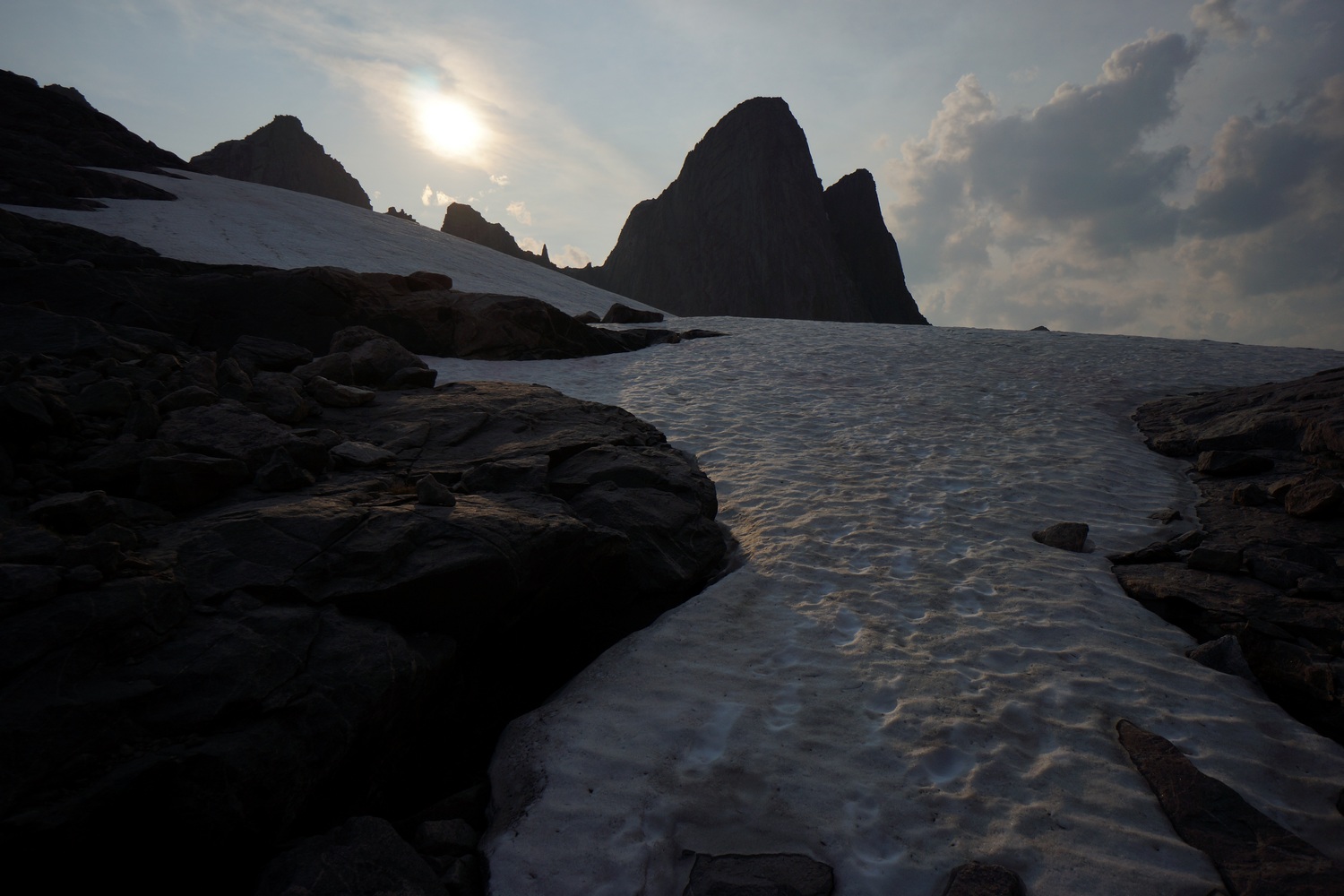
Two couples caught up to us as we put on our micro spikes to tackle the ascent of alpine pass. They were former CDT hikers themselves. The pass was completely covered in snow and steep. Hopeful went first and kicked steps. We angled up to a Rocky outcrop where we took a short break.


View south from Alpine Pass
The final push up alpine pass was wild. Steep and slippery. Everyone else took the Boulder field once near the top, but I just went straight up the snow field. It was awesome! Steep, but fun.

Indian Pass in the center, Knife Point Glacier below
Coming down into a new valley now, finally out of alpine lakes area. Tons of snow here. The entire upper basin was filed with snow and glaciers, specifically, knife point glacier and bull lake glacier. Very impressive. We descended boulders for a while until we reached a snowfield. We glissaded the rest of the way down. This is always fun!


Took a snow filled valley down hill. Then we entered a prehistoric looking Valley filled with a maze of streams. Crossed downstream where the channels of water had converged into one.

Then we hiked over a pass leading into another valley. Lots of wildflowers here, very nice.


The next area we entered was north fork bull lake creek. Super long name, I know. Huge impressive peaks, lots of snow. The river was this milky blue green turquoise color, so beautiful. This was one of my favorite places so far.

Crossing North Fork Bull Lake Creek


Crossed the river and made camp partially up the climb to blaurock pass. It was 6:45pm, not enough time to make it over the pass and down safely the other side to find camp there. So again, we stopped early. Only 12 miles today. Beautiful views from camp though!
Miles – 12
Total Miles – 1757
Rain – no
Sleep – Backcountry, tent
Animals – none
Sunday August 5th – CDT Day 107
Start hiking at 6am. The sun never came up though, it was obscured by clouds today. These clouds looked like trouble, too.

Almost immediately after leaving camp, we found ourselves in a massive boulder field that leads up to Blaurock Pass. These were some pretty big boulders, with big gaps in between. Tough to work your way through. To make matters worse, it was beginning to snow. This made the boulder field even more treacherous, as the rock was now slippery too.


Whiteout conditions pose a serious threat for us at the top of Blaurock Pass
The snowfall became heavier as we climbed higher. It wasn’t long before the conditions had deteriorated severely, and we found ourselves in a complete whiteout. There were less big boulders to contend with now, and mostly just snowpack. On top of the pass, we could see nothing. On the other side, the topo map appeared to be steeper. Going down in these conditions seemed like a poor idea, but we had no cover either. We considered waiting it out under an emergency blanket. As we discussed our options, the snow began to clear up and visibility improved. Good thing, because this moment was one that had the three of us pretty worried.


Going down the north side of Blaurock pass wasn’t as bad as we anticipated. The grade was steep but the mountainside was littered with scree and not big boulders. Much better to work with, but still not easy. The weather improved as we dropped in elevation.


After losing more elevation, we stepped off the snow and scree fields and onto a grassy hill. Around this time, the clouds cleared momentarily and the sun shined through. The surrounding mountains became visible and knocked our socks off. This place has an otherworldly feel to it. The kind of stuff people dream up, but never see in real life.
The weather changed rapidly throughout the rest of the day. From sunny to storm clouds and back to sunny all within 10 minutes. Get used to it.


We continued downhill, traversing a couple more snow fields along the way.


Once we reached Dinwoody Creek on the map, we followed this uphill again towards Dinwoody Glacier. The small ponds here were an intense turquoise blue color, due to all the minerals in the water. Water like this always had a way of mesmerizing me.


Dinwoody Glacier
Above the mesmerizing turquoise ponds lies a massive boulder field, which likely would have been covered by Dinwoody Glacier only decades ago. It probably would have made walking through this area easier had it been glacial ice and not boulders.


Next we began the climb up West Sentinel Pass. The best route appeared to be a high one in the snow above a bowl. We began the traverse along a steep snow slope, kicking in steps as we went. The closer we got to the top of the pass, the more steep it became. In an instant, Jay had slipped and slid 150′ down the snow into the bowl. Fortunately, the slide was not a dangerous one with boulders or a cliff below. Moments later, I too slipped and fell down into the bowl. Poor Katie was left alone up there, and decided to glissade down herself. It’s a bit easier when it’s on purpose.

On top of West Sentinel Pass

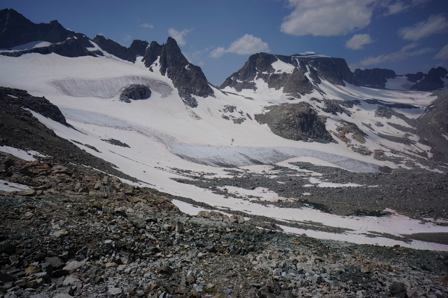
The three of us took a more direct route up the pass this time, no issues. At the top of West Sentinel Pass, we entered Gannett Glacier. This was the largest glacier we’ve been on yet, covering the entire upper basin we were standing in. Massive.


Hiking across Gannett Glacier

Straddling a crevasse on Gannett Glacier
We worked our way across the glacier until we encountered some melt out. Going down straight down would just mean more water, and the map shows crevasses here. We decided to go up and around the melt out, and then back down. Still, this had us weaving in and out of crevasse territory. We encountered several crevasses, mostly smaller ones. Down in a gully below us, only an unintentional glissade away, we could hear the roar of water flowing under the snow.

Gannett Glacier terminus
After dropping in elevation, we reached the terminus of the glacier. This is quite an interesting place to be. Much of this ice is dirty ice, a mix with mud and debris. The ground below the terminus is freshly exposed for the first time in potentially thousands of years. I wanted to search for interesting rocks, if only I had more time. It started raining around this time, and we continued downhill in search of cover where we could take a break. The clouds had really moved in fast.
By the time we reached Gannett Creek, the rain had subsided and it was sunny again. No cover but we stopped here for our break.

We worked our way up Gannett Creek, which was more like a series of ponds and small lakes with an occasional stream in between. Beautiful color.


We continued uphill through a sea of rocks until we reached a snowfield above an icy pond. We thought about traversing the slopes above it, but the team was not up for it without an ice axe after this afternoon’s slip down West Sentinel Pass. Instead, we dropped down to the pond and found a narrow spot to hop boulders across. We followed the other side of the pond until we were clear of the pond, then continued the ascent up an unnamed pass NE of Bastion Peak.

From the top of the pass there was a good view of Bastion Peak behind us, and Grasshopper Glacier to the north. The closer we got to Grasshopper, the more prominent the terminus of the glacier was. A wall of ice at least 50′ tall marked the edge. And that’s where we need to go tomorrow!
We found a place to camp near the temrinus of Grasshopper Glacier. The ground was a fine sand/silt, a little wet and soft. It seemed this area was usually covered in snow and or ice, and only recently exposed. Not the ideal campsite, but a unique one for sure.
Miles – 12
Total Miles – 1769
Rain – 2″ snow, complete whiteout. Rain, hail
Sleep – Backcountry, tent
Animals – pronghorn sheep?, marmot
Monday August 6th – CDT Day 108
Hiking at 6am. Cold night, Frost inside tent.

Grasshopper Glacier terminus

Walked up to the edge of grasshopper glacier. The terminus of the glacier must be 60+ feet tall. Never seen anything like that up close. Hiked up the glacier to the snowpack, uphill for a while.


Huge snow fields. Just massive. Easy walking too!


Hiked up to the Continental Divide. Followed the ridge for a while, fairly easy walking.

Iceberg and Baker Lakes

Iceberg Lake

Reached baker lake and iceberg lake. The latter was really cool. Another tall glacial terminus. Lots of icebergs too!


Next we Climbed uphill and followed the Divide for a while.

Reached a saddle a mile before downs mountain. On the map, We saw what looked like a route down to our end point the glacier trailhead. Skirted the mountainside along the least steep terrain the topo showed. This looked easier than the Ley alternate coming down from the summit of downs mountain.


We spent 5 hours working our way down a series of ledges and steep boulders on the mountainside that ended at a really steep snowfield. This appeared to be steeper than we could safely cross, but I went down for a closer look. I attempted to take the first step off the boulders and onto the snow, but the angle was so steep that step kicking may not cut it. Right then, Katie and Hopeful said they weren’t going to follow me even if I go for it, due to the danger of it. I stopped and assessed the situation and they were right. The runoff below is boulders or a cliff. Without ice axes, it would just be stupid. Reluctantly, we turned around and headed back uphill to find another way.


Back at the saddle we started from, we headed up the ridge to downs mountain. We weren’t going to be able to drop down into the valley we saw this earlier from here though. Instead, we’ll have to continue many miles north and take a completely different route. Awesome views from the climb up Downs mountain though. Lots of boulders, hard work and sometimes sketchy. We were already rationing food for the last several days, and nearly out. We planned on getting to the trailhead tonight, but that’s not gonna happen now.


Tired and hungry, we worked our way around the west side of downs mountain instead of doing the climbing up it. Lots of boulders either way. Mentally exhausting. Saw some big horn sheep on the ridge above us, that was cool. Basically right on top of Downs Mountain.

Continental Glacier

Hiking across Continental Glacier

At the saddle after Downs, we set foot on Continental glacier. It’s all snowpack up here. Absolutely enormous!
Hiked to 8pm. We descended the glacier instead of staying high above it on a ridge to find camp. Cleared rocks in a debris field for campsites. Dinner was 1 granola Bar. Can’t wait for town tomorrow, I hope we finally make it.
Miles – 15
Total Miles – 1784
Rain – no
Sleep – Backcountry, tent
Animals – big horn sheep
Tuesday August 7th – CDT Day 109

Another cold night sleeping in a debris field next to a glacier. Woke at 6, didn’t start hiking until almost 8am.
Today is our 10th day in the winds. We ate the last of our food for breakfast, which was basically starvation rations to begin with. We only planned on 7 days of food.


Walked over some boulders and back down to Continental glacier. Hiked on the glacier since it was much easier travel than rocks and boulders.


Walked up shale mountain next. Fairly easy walking, for the winds anyways.


Crossed a large snow field with a collapsed section where a stream runs underneath. Some crevasses as well.


Made it to the top of the pass that leads down to the ross lakes area. Really steep. Took a break at the top, couldn’t see much of a way down. For the record, I don’t think this is really a pass at all. Just a possible route down for those willing.


Found a ridge to follow down. Walked down a snowy slope to a patch of boulders. Another snow slope below the boulders, but this one was steep. Hopeful went first, no micro spikes, and slipped. He slid about 40 feet and crashed into a large Boulder. He turned at the last moment and his backpack took the brunt of the impact, but still hit his ankle. Fortunately he was alright.
Although the slide down was scary, it was really the only good looking way to continue downhill. I kicked some super deep steps with my spikes on and made it down safely. Katie went last and also made it safely.

Down on the valley floor, we filtered water from a steam. Just downhill, I saw 2 mountain lions standing in some large boulders. Side profile, tail curled up in the air. Big cats. They saw and heard us, and ran off. These were the first mountain lions I’d ever seen.
Next we went through a section of blown down trees in thick brush. Kinda where the mountain lions were. I tripped a few times and cut my hand. Pain in the ass. Would be nice to have some calories in my stomach.

Ross Lake
Climbed over one last hill before mostly heading downhill. Awesome view of Ross lakes from here.


Picked up a trail at the bottom of the hill. You don’t know how good it felt to reach this trail! Now it’s time to haul ass to the trailhead. We were just empty shells now, running on a couple hundred calories and less than 2 liters of water all day. Hopeful hiked the day on 12 M&Ms. Running serious deficits that cannot be sustained.
Reached the trailhead around 6pm and luckily ran into a guy named Stephen. He was headed back to Dubois and so he had no problem giving us a lift. He also had a couple of ice cold beers for us, which tasted amazing! Keystone Light never tasted so good.
We ate at the noon Rock pizza place in Dubois with our new friend Stephen. Pizza and wings really hit the spot! Got a room at the black bear inn which was very hiker friendly. I think we all went to bed with an enormous sense of satisfaction having just completed the greatest adventure of our lives. I know I did.
Miles – 17
Total Miles – 1801
Rain – no
Sleep – hotel
Animals – 2 mountain lions, marmots
Wednesday August 8th – CDT Day 110 (zero day)
Slept in today which felt amazing! Ate breakfast and got started on town chores.
Picked up packages at the longhorn ranch, which we intended on staying at. However, the allure of a hotel was much too great. The ranch was kind enough to give us the packages at no charge, even though I offered to pay a reasonable fee for the service.

Did laundry, ate at the cowboy Cafe (2 entrées), and backed up photos and GoPro videos.
Thursday August 9th – CDT Day 111 (zero day)
Hurried to pack up and get ready to hike. However, it was obvious I had too much to do today, and we could all use a little more rest. So the decision was made to stay another day. This gave me all the time I needed to check off items on my to-do list, like sending in a couple pairs of Darn Tough socks for warranty, etc.


The motel we were staying at was the Black Bear Inn. Super hiker friendly. They had a river flowing through the property and there was a sweet patio setup down by the water… BBQ grills, tables, hammocks, christmas lights. Bumped into a few other hikers today in town and invited them over to grill out with us and drink some beers. We made grilled cheese sandwhiches and italian sausages. So naturally, we combined them… yum!
Back on trail tomorrow.