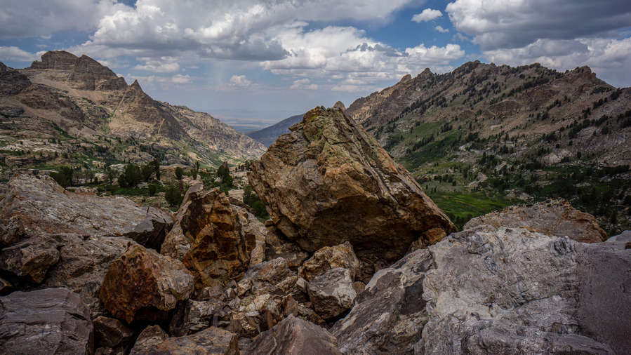
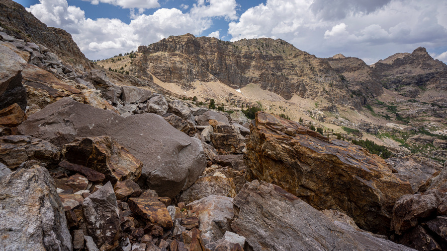
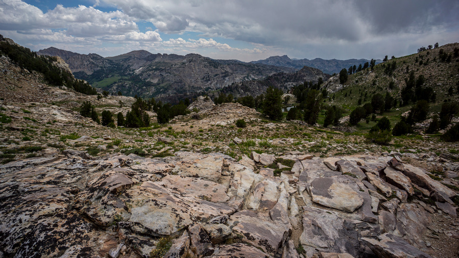
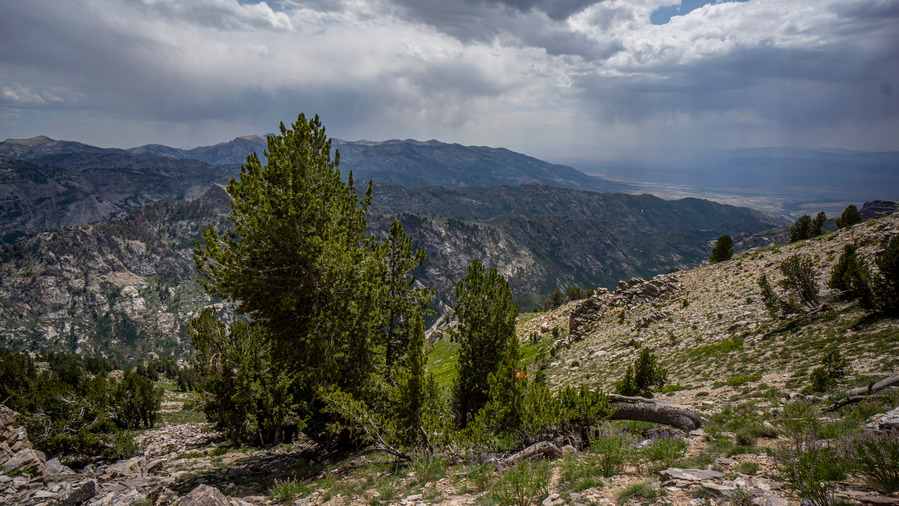
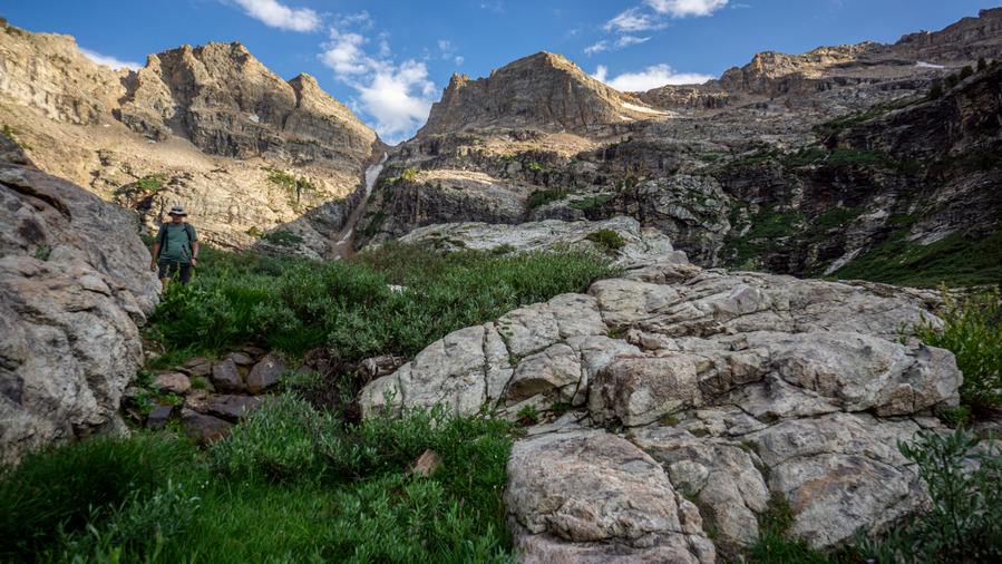
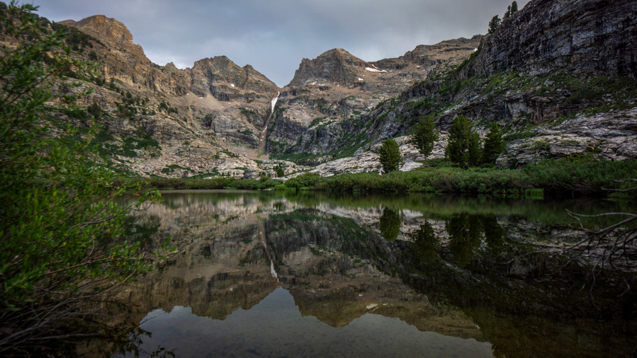
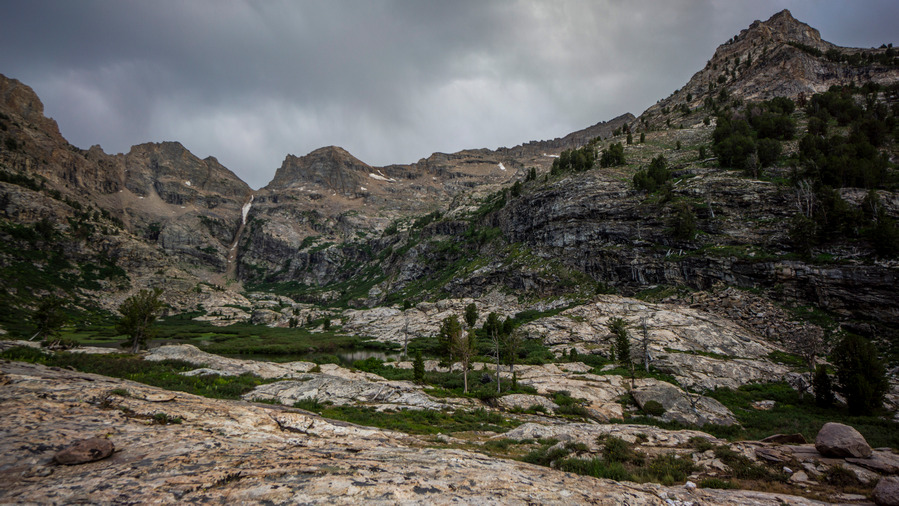
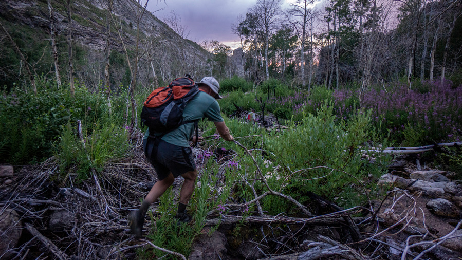
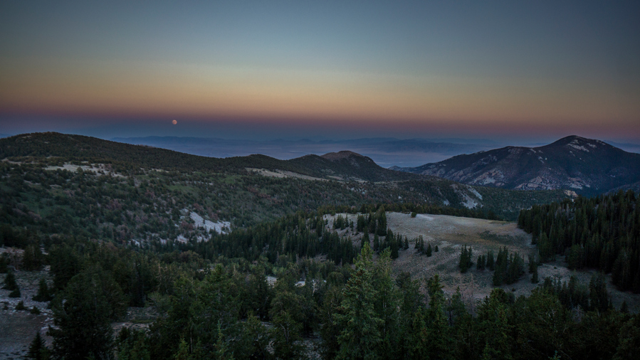
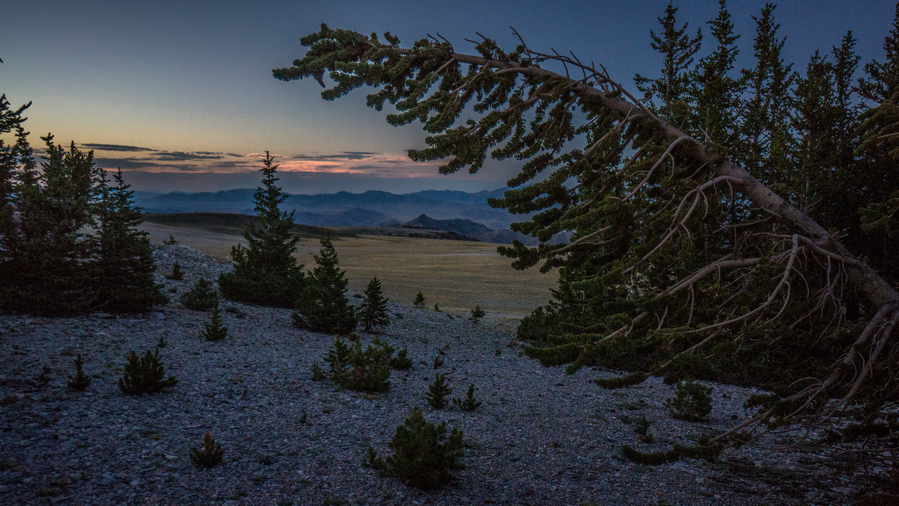
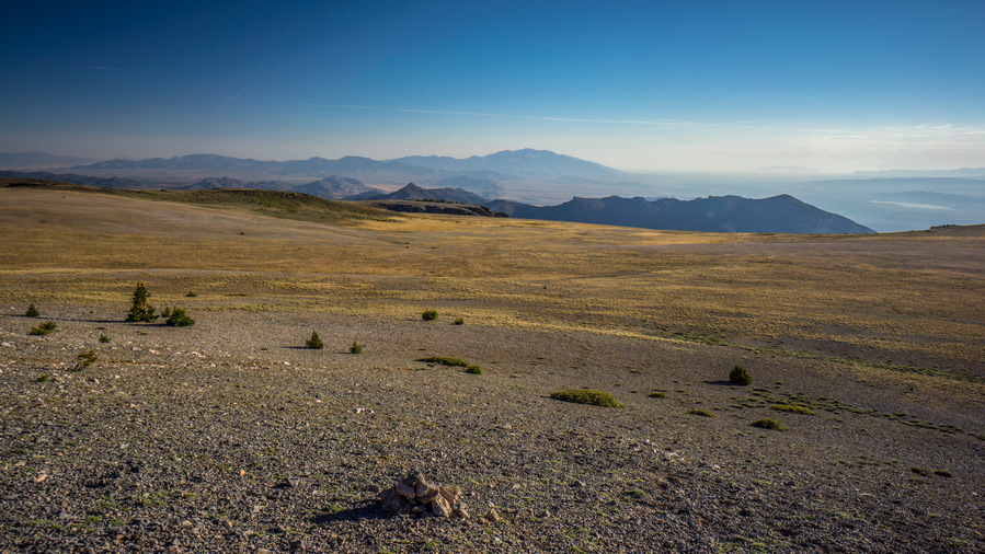
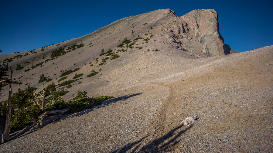
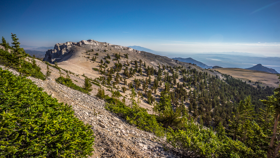
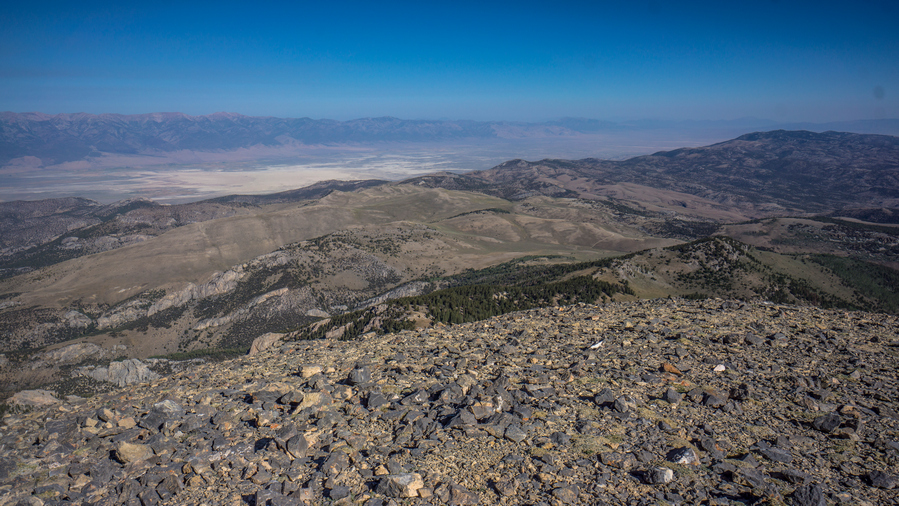
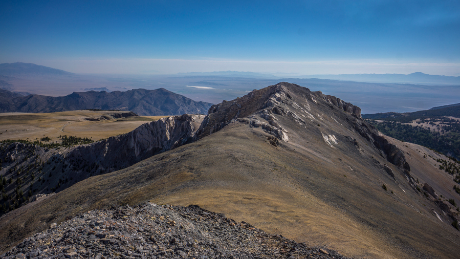
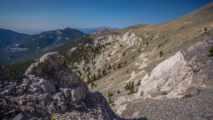
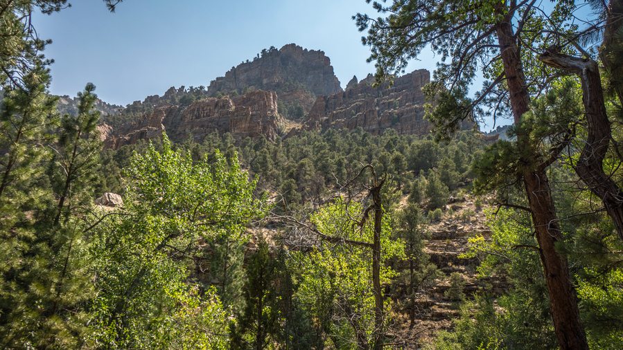
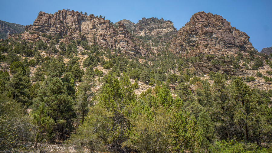
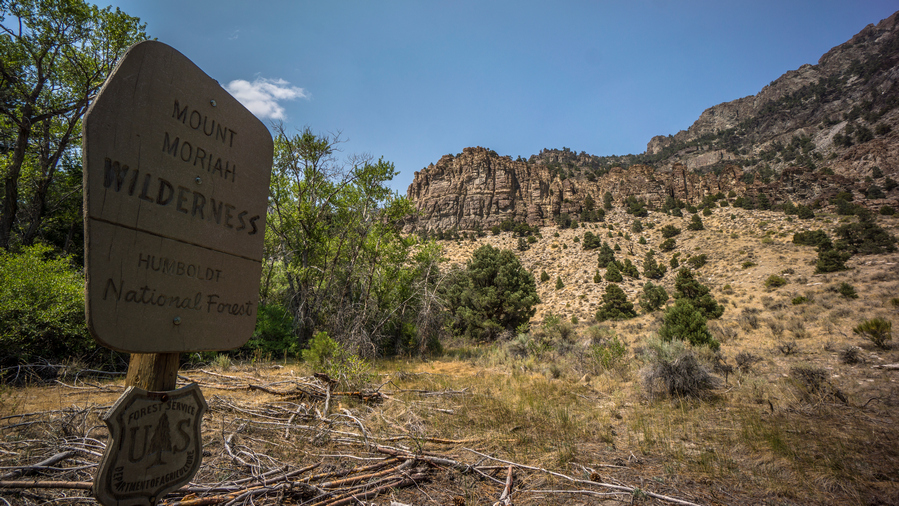
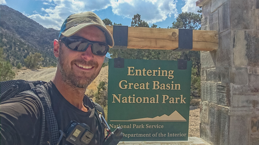
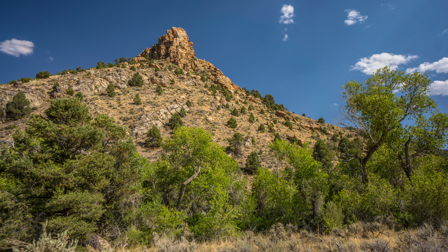
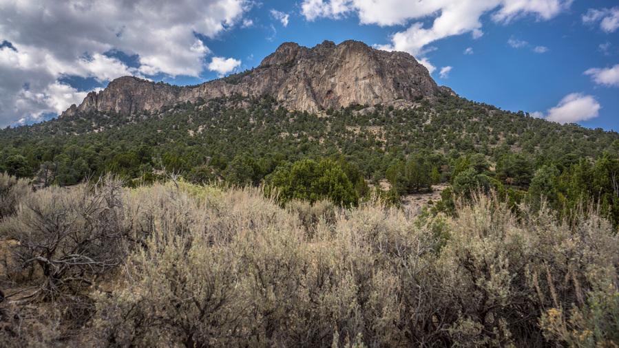
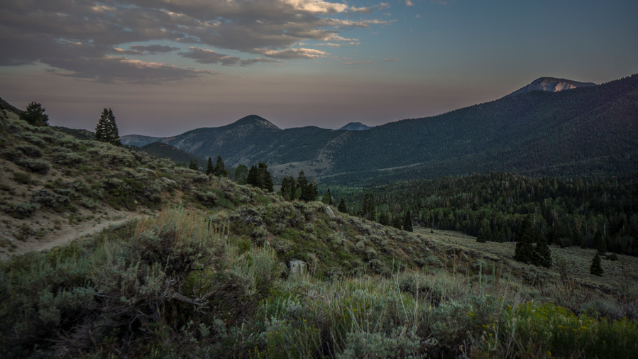
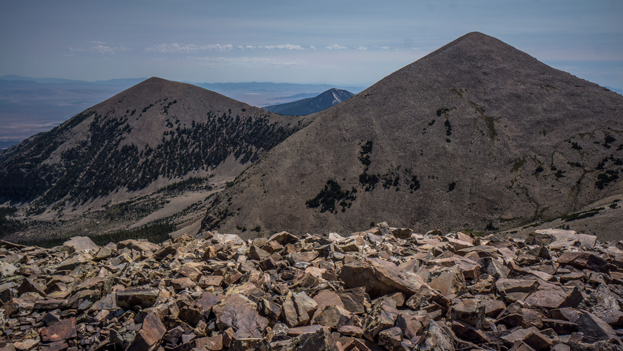
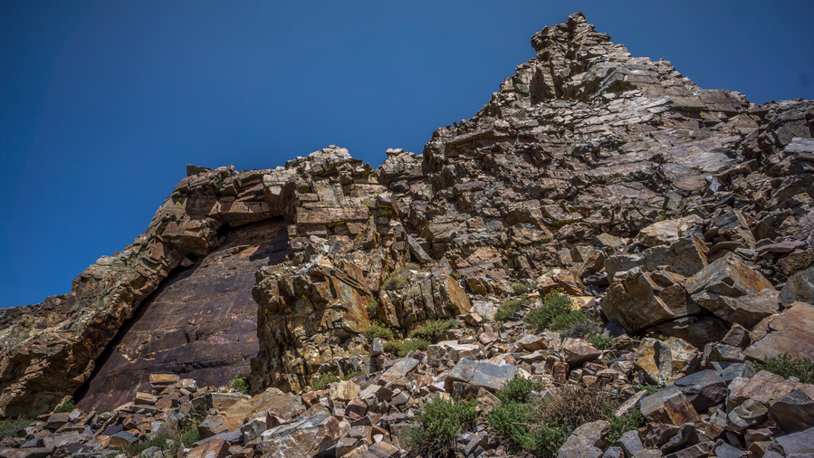
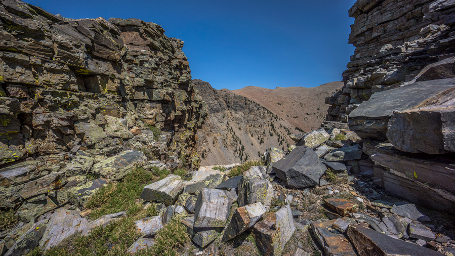
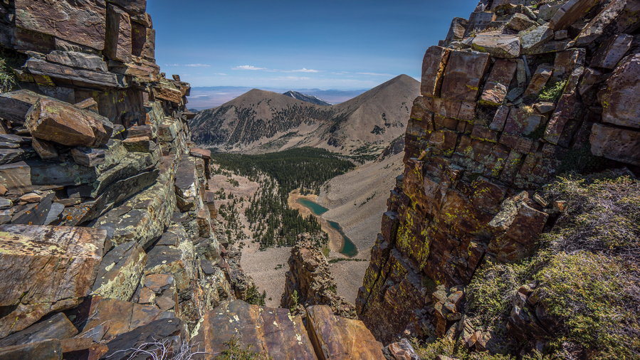
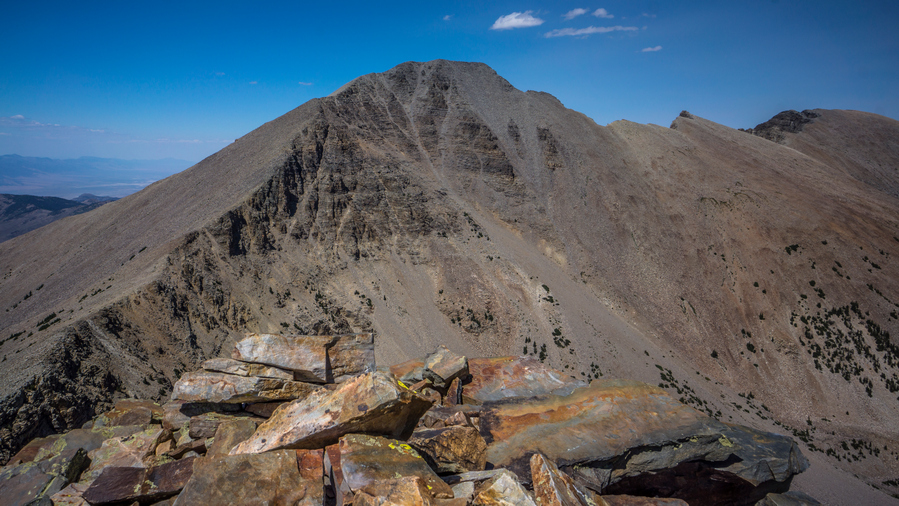
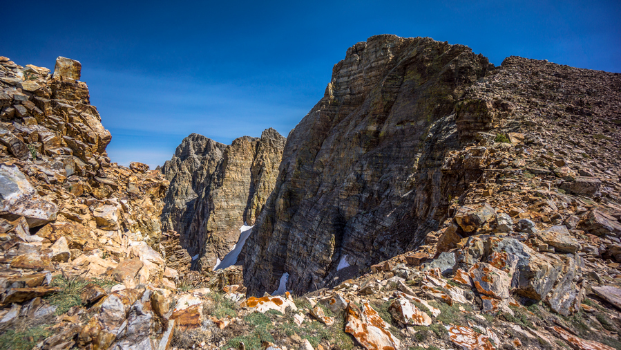
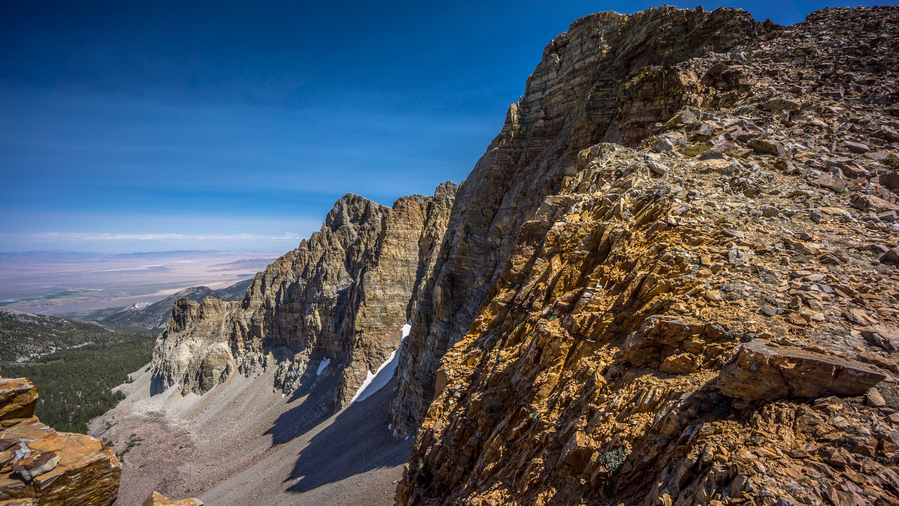
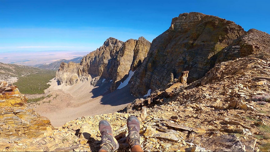
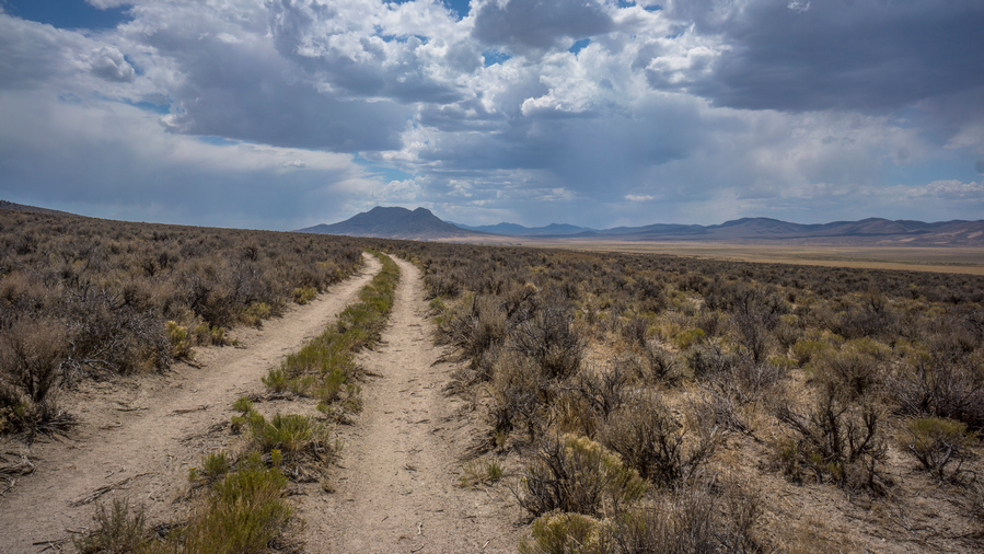
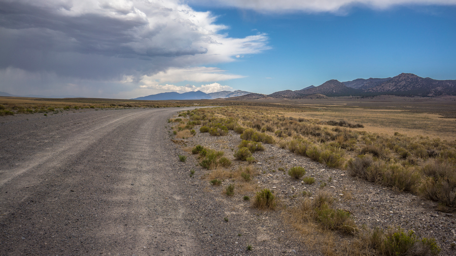
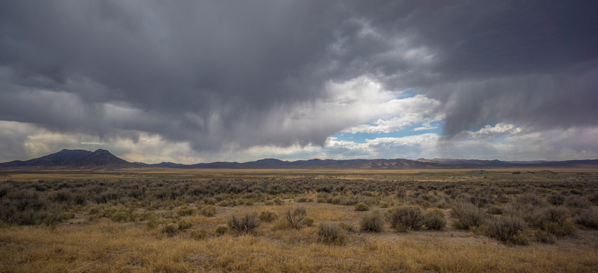
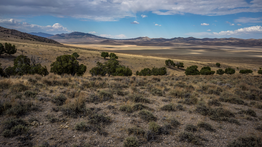
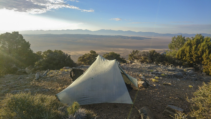
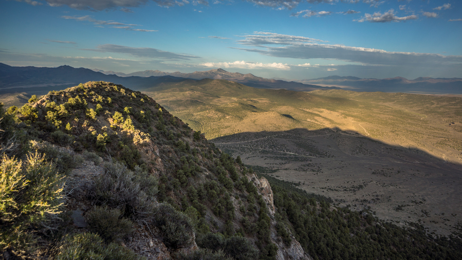
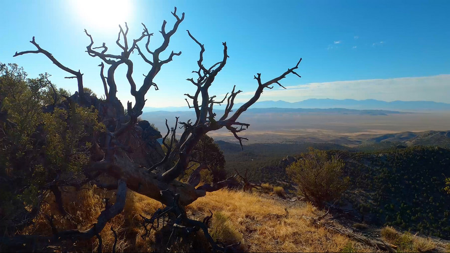
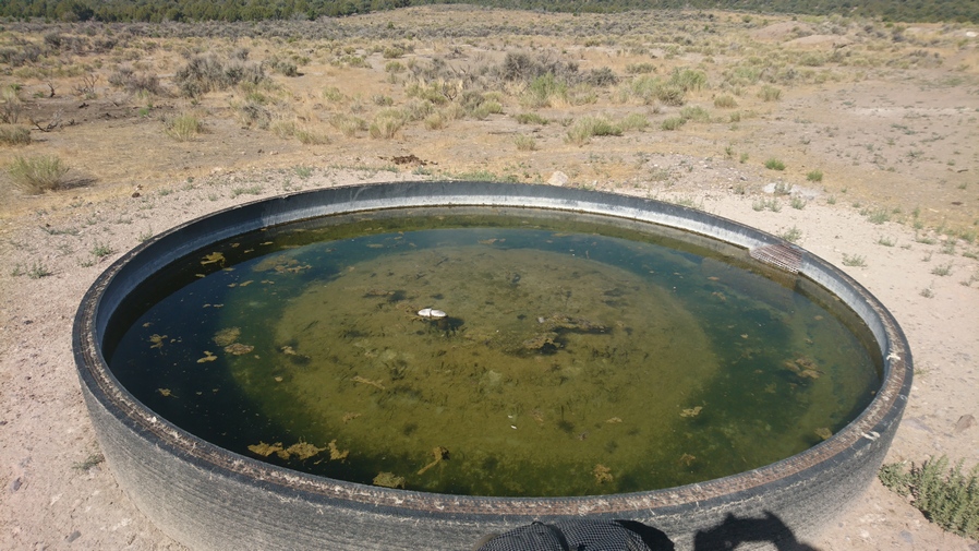
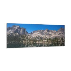
There are no fees or permits required to hike in the Ruby Mountains. Thomas Canyon and Terraces Campgrounds are available in Lamoille Canyon to camp the night before/after your hike, or simply pull off the road and camp in the National Forest land. You should also be able to camp in a van/camper at the trailhead for one night, there was nobody there to check or bother us. Spring Creek is the nearest anything, and 30 minutes away is Elko which is a big town for Nevada.
This hike is a route that I wanted to do on my 2020 Basin and Range Trail thru hike, but wasn’t able to fit in, logistically. My route along section 6 of the BRT ended at Roads End Trailhead in upper Lamoille Canyon. The route we will hike here is a route that connects upper Lamoille Canyon with Seitz Canyon, leading to the Powerhouse Trailhead in lower Lamoille Canyon. This route should be very scenic, and will offer a spectacular finish to an already great section of the BRT. The Ruby Crest Trail was nice, but I have a feeling this will be nicer.
This route is almost entirely off-trail. There were only a few sections of this route, like in Seitz Canyon, where a trail is marked on the map. On the ground though, it barely existed. Just a fading trail that hasn’t seen maintenance in decades. In other words, most of this route is off-trail, and there is some bushwhacking involved… mostly in Seitz Canyon. With that said, it’s an awesome route that is challenging, rewarding and gets you off the beaten path in the Rubies. The Ruby Crest Trail gets most of the traffic in the Rubies, but there are many other great spots here, such as Echo Lake.
This hike can be done a long day hike, but it would be best to split this hike up into two days, camping at Echo Lake. There are multiple excellent campsites along Echo Lake.
Three final things:
Beware of the private land at the entrance to Seitz Canyon. That’s why the route goes along the hillside at the end to reach Powerhouse Trailhead. There is an active ranch here with a few homes.
This hike can be done as a day hike, but it may take all day, as it did for us. Make sure to bring a headlamp, just in case. We wish we did…
Water is abundant, you won’t hike more than a few miles without it.
July 17th, 2021 – Ruby Mountains, NV High Route Hike Lamoille Canyon to Seitz Canyon
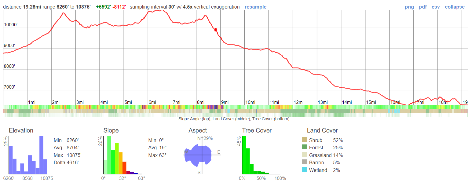
Miles Hiked – 19.28
Elevation Gain – 5,592′
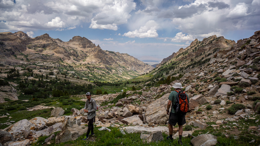
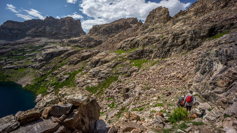
Sam, Ken and I above Echo Lake
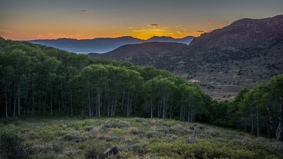
My friends Sam and Ken (2020 CDT thru hikers) will join me for this hike. Last night, we slept off the road in National Forest Land near Camp Lamoille at the entrance to Right Fork Lamoille Creek Canyon. Descent spot, good views of Lamoille Canyon especially at sunset.
In the morning, We drove Ken’s Explorer down to the Powerhouse Trailhead in lower Lamoille Canyon, then drove my van up to Roads End Trailhead in upper Lamoille Canyon. We’ll walk back to Ken’s Explorer today, and then he’ll drive me back up to Roads End to get my van.
Wildflowers in Lamoille Canyon
We left the trailhead around 8am following a trail up Lamoille Canyon. Soon enough, we realized this one was taking us up to Dollar Lake instead of Lamoille Lake. We began hiking off-trail sooner than anticipated, and headed for a horse trail that runs higher up the hillside in the canyon. I know this, because that’s the route I hiked down from Liberty Pass last year on my BRT thru hike.
The off-trail stuff here was mostly our fault for not taking the horse trail in the first place. I should have known better. Now, we spent some time walking through tall bushes and grasses, thankfully not crazy thick.
Hiking the horse trail up Lamoille Canyon
We hit the horse trail and followed that a ways uphill. We stopped for a quick break at the spot where we leave the horse trail and begin out hike uphill to our off-trail pass below Snow Lake Peak, leading over to Thomas Canyon.
Sam had just flown to the US from England a few weeks ago, and had bought some cheapo Walmart shirt to hike in for the summer. It was a long sleeved, collared shirt, the kind your cheap dad might wear when he’s forced to dress up. Ok, me too. I joked with Sam about this, and the need for a tie to complete the ensemble. After all, it looked like he was here for a business interview. Well, from the waist up, anyways.
Thankfully not like this the whole way
View over upper Lamoille Canyon
Nearing the top of the pass
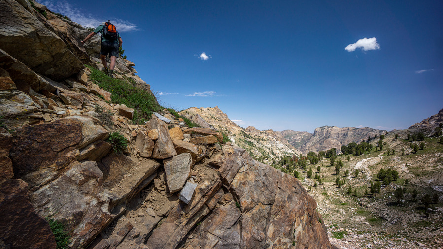
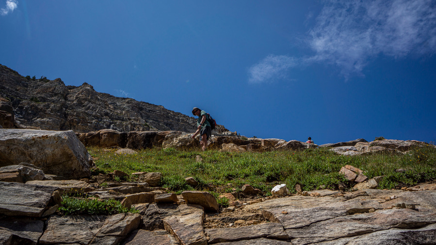
The route up to the pass was steep and had us winded, but it was an easy walk. No bushwhacking, no huge extended boulder fields, it was mostly just a steep incline.
View of Snow Lake Peak from unnamed pass
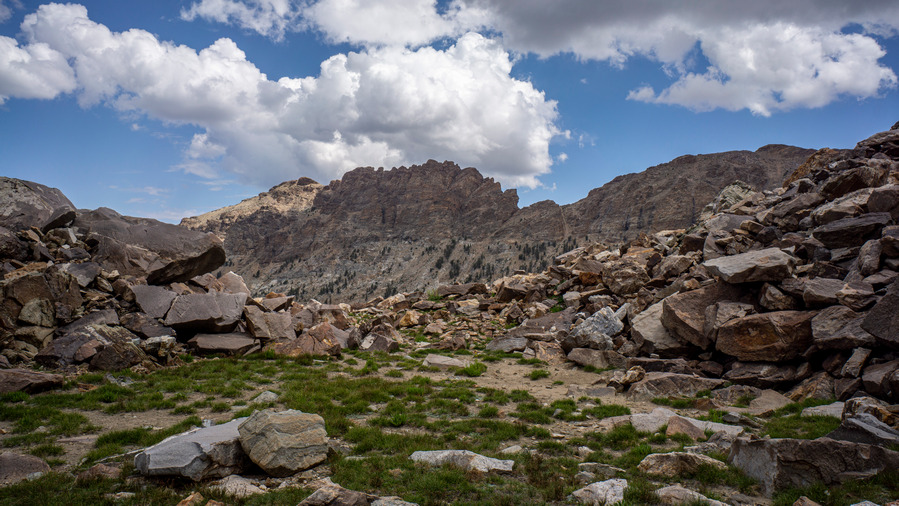
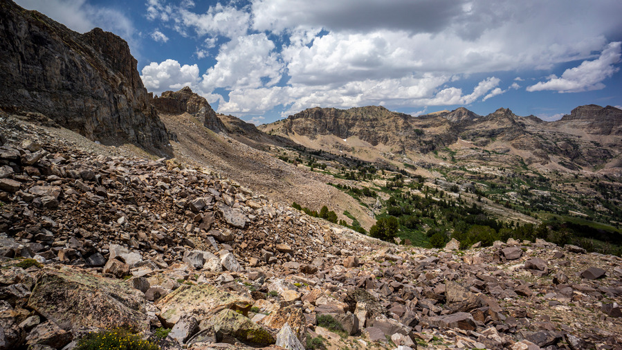
At the top of the pass, we enjoyed great views down into Lamoille Canyon and Thomas Canyon. To the south was Snow Lake Peak. The Snow Lake Peak was eroding was very obvious, and we joked that the Forest Service needed to come out here and “repair” these crumbling mountains. “A few more years and we won’t even have a Snow Lake Mountain”. Ha!
Full House Peak and Thomas Canyon
We stopped for a break on the pass, soaked in the excellent views and scouted our next move. The plan was to stay high up on the ridgeline and contour around the mountainside towards Mt Fitzgerald. It looked kinda steep though, and we contemplated taking a route a bit lower, meaning more elevation gain and climbing.
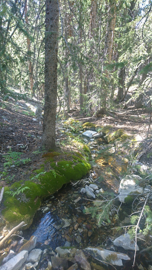
Water flowing in upper Thomas Canyon
Snow Lake Peak
View down Thomas Canyon to Thomas Peak
The descent form the pass into Thomas Canyon was steep, but short. Below the pass, a green and grassy patch of land with water flowing through it. A nice hike here.
Finding our way around the mountainside
Ken above on our route uphill
Next we climbed back up in elevation some to reach our desired contouring line. This was intermittently hard/easy. We’d be climbing up steep, loose rock and boulders one minute, then walking short sections of flat, easy going terrain. All with great views of Thomas Canyon, though.
Boulders.
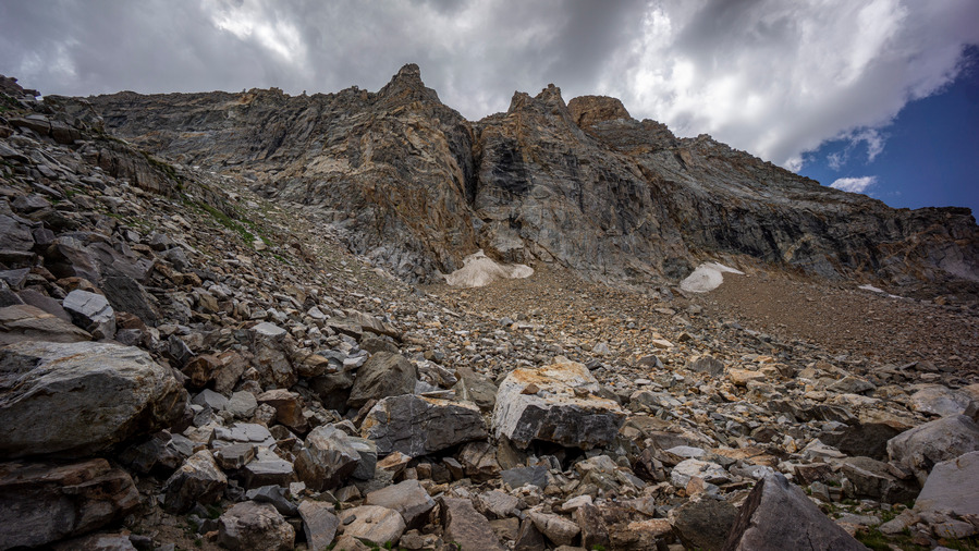
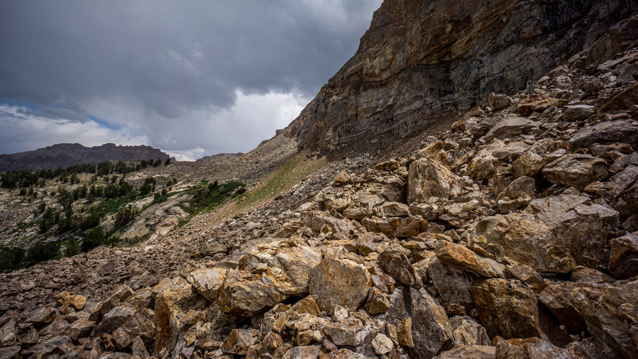
When we rounded the northwest-facing ridge before Mt Fitzgerald, we were met with an entire mountainside filled with boulders. Not what I like to see, but Sam loves the stuff. It was a big view though over Thomas Canyon. It was very green down below, but we were well above that, in the boulders.
A fine gulch
Upper Thomas Canyon views
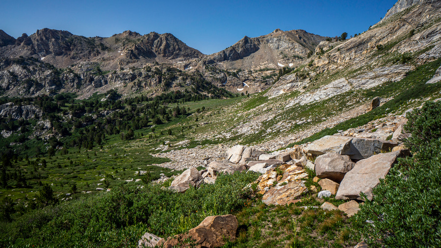
Outstanding scenery in upper Thomas Canyon
The mountain scenery here was very impressive. The hiking here is more akin to a Sierra High Route or Wind River Range High Route. We are surrounded by towering mountain peaks and rock faces, in a sea of boulders. Slow going, but worth it.
Hiking below Mt Fitzgerald
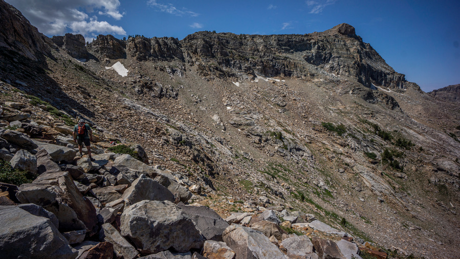
Directly below Mt Fitzgerald was an imposing place to be. The peak towered above us, as we worked our line around the base of it. Even through the boulder fields along the slopes, we routinely cross trickles of water and small streams. There is no shortage of water here.
Ken hiking the boulder field
View across Right Fork Lamoille Creek Canyon to Mt Gilbert
Sam and Ken hiking into upper Right Fork Lamoille Creek Canyon
After Mt Fitzgerald, we went up and over a ridgeline separating Thomas Canyon with Right Fork Lamoille Canyon. The same excellent scenery extends into this canyon as well. Superb views here.
I came across a pile of a few boulders that had some minerals that caught my eye. I’ve been seeing a lot of large books of mica around, but that was it until now. Here though, in upper Thomas Canyon below Mt Fitzgerald, I found garnets. They were embedded in the host rock though, and I couldn’t do much with them without tools to extract them. Still, a cool find. Fun fact, the early explorers who first passed through the Rubies named them the Ruby Mountains because they thought these garnets were actually rubies. And now, I can see why.
The route we’ve traversed so far
Right Fork Lamoille Creek Canyon
Right Fork Lamoille Canyon continued to impress us the entire route around its upper slopes. We have been walking mostly on boulders for quite some time now, though, and it’s tiring.
View from the pass
View west to No Echo Knob and the ridgeline we’re about to walk
Eventually, we reached a saddle in between peaks 10,528′ and 10,882′, at the top of Right Fork Lamoille Canyon. The wind was really picking up now. We followed the ridgeline towards No Echo Knob.
Sam and Right Fork Lamoille Creek Canyon
View west, Ruby Mountains and Lamoille Valley
Cool ridgeline
Along the way up to the ridgeline, we enjoyed excellent views of the Ruby Mountains. There were some sheer cliffs to stand at the edge of overlooking Right Fork Lamoille Canyon. It looked like the potential for rain now, although nothing directly nearby threatening us at the moment.
Sam on top of the ridge
View of the ridgewalk ahead of us
Looking back at what we’ve traversed so far
At the top of the ridge leading to No Echo Knob was perhaps some of the best distant views of the day. It was our most proper ridgewalk of the day, as well. The views were just stunning in every direction. A truly magical place.
Sam and Ken hiking the ridge to No Echo Knob
View over Right Fork Lamoille Canyon
Sam and Ken on No Echo Knob
We summited No Echo Knob, high point of the ridge. It was here that Sam, hiking for the first time in Nevada, realized the hidden gem that he’d stumbled upon. “Why is it that so few people visit this place”, he wondered. Nevermind why, we have it to ourselves today.
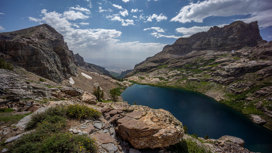
First views of Echo Lake. Wow!
Sam and Ken above Echo Lake
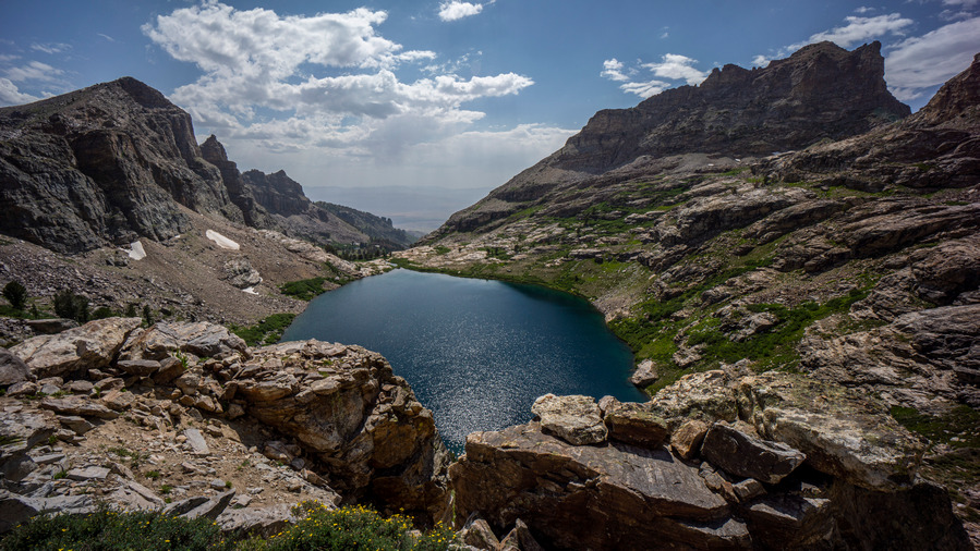
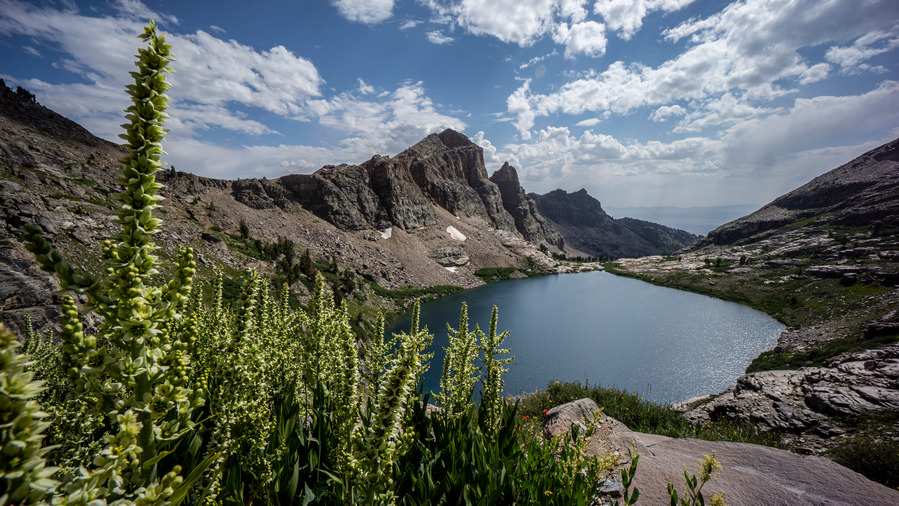
The descent form No Echo Knob to Echo Lake was outstanding. Echo Lake is hard to ignore; it’s surrounded by a tall, steep cirque of mountains, and the lake itself is a deep blue color. It’s large and looks to be deep. It certainly commands your attention, and respect.
A pretty good route can be seen ahead
Our original plan was to drop down to the lake to traverse around it’s east shore, but from our elevated position, we saw a better route. We’ll stay higher above the shoreline, and contour around the lake. This way, we minimize our total elevation gain traversing around it. There looks to be a route we can follow, but who knows. Let’s try it!
Hiking around Echo lake
The entire hike around Echo Lake was stunning. The views were constantly changing, with seemingly better and better angles and lighting. The hike itself wasn’t too hard. There was no real path to follow, but it was easy to pick from numerous lines that traverse the east side of the lake.
Looking down Echo Canyon above Echo Lake
Echo Lake
The views from the extreme east side of Echo Lake were probably the most impressive to me. Here, the lake looks the biggest, and one has a great view down Echo Canyon. Lining Echo Canyon is Mt Silliman, peak 11,330, and Echo Box Peak. These peaks, and the ridgelines leading up to them, form huge, towering walls above Echo Lake, making this the beautiful place that it is.
Climbing up to the pass
Echo Canyon
We stopped along a small creek for a break. There was a great camp spot here, overlooking Echo Lake. If only we were camping!
Echo Lake and Echo Box Peak
After the break, we continued traversing around Echo Lake. Of course, we had to stop and test the echo properties of Echo Canyon at some point. The echo is indeed impressive! We also took the time to test out our skiing skills on some of the snow slopes. I made a successful run down a hundred feet or so, which is always fun to do in shoes.
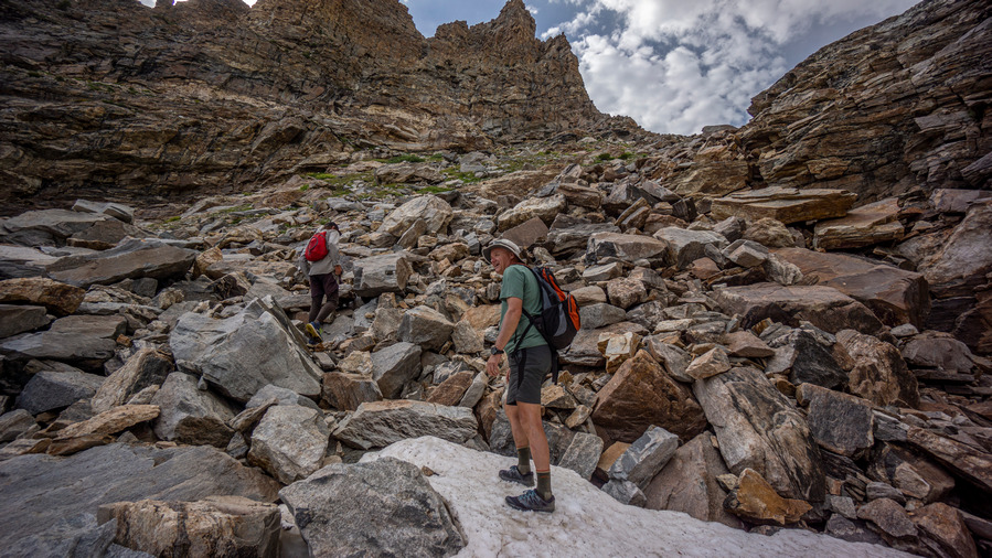
Ken and Sam ascending the pass below Mt Silliman
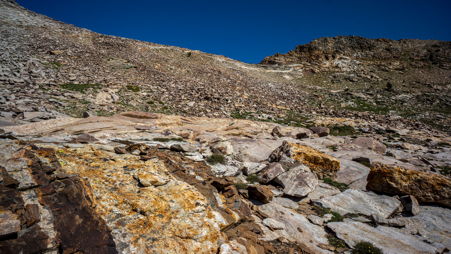
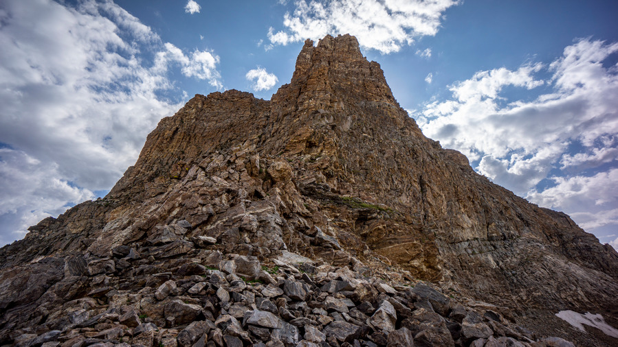
After contouring around Echo Lake, it was time to head up to a pass below Mt Silliman. From here, it was a climb of about 350′ to the top. It was a very manageable climb up boulders, and we made quick work of this one.
View into Seitz Canyon
Mt Silliman
Echo Box Peak from pass
At the top of the pass, we had our first view into Seitz Canyon. Nice, but the north face of Echo Box Peak on the Echo Canyon side was more impressive.
Now for the route down into Seitz Canyon. Our plan was to contour around the north face of Mt Silliman and work our way down a diagonal line Seitz Lake below, avoiding the steep and narrow Seitz Canyon route which is more direct. I thought it would be best to avoid Seitz Canyon when planning this route from home, based on the slope angle shading/steepness of the grade, but now that we’re here, it does indeed look doable. Sam, Ken and I discussed our options, and we settled on the direct route down Seitz Canyon.
First we need to work down to the snowfield
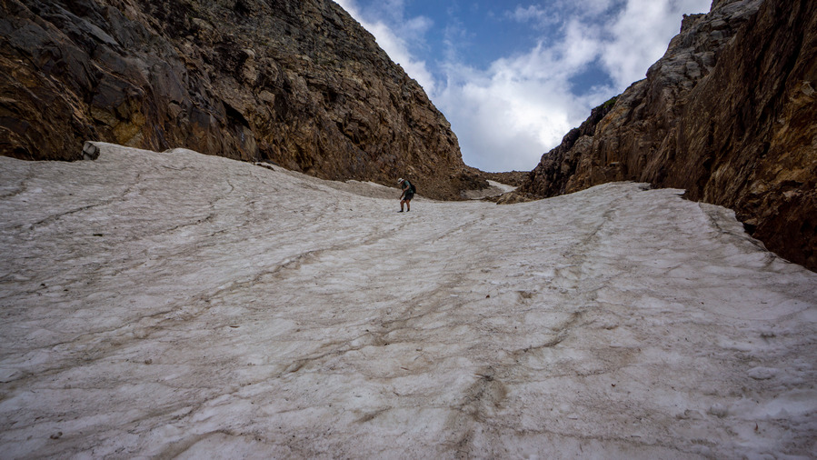
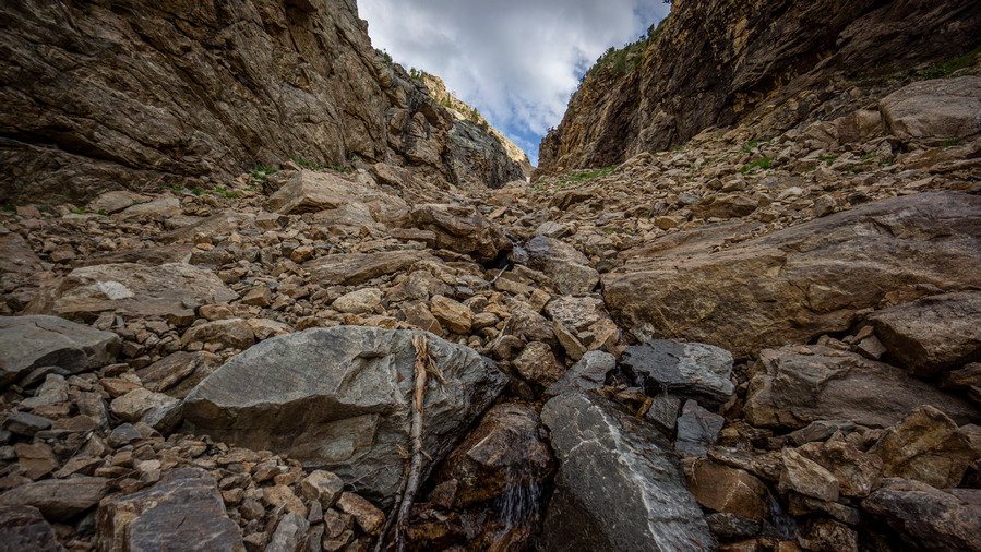
So from the top of the pass, it’s 1400ft down this steep, narrow chute filled with snow, ice and boulders. We traversed a sketchy section of loose boulders just to get down to the snow field in the center of the canyon. Past the boulders, we take our first footsteps in the snow. The slope angle is steep, seemingly close to 45 at times. Sam went first, kicking steps on his way down. I went next, and Ken at the top.
Ken making his way down
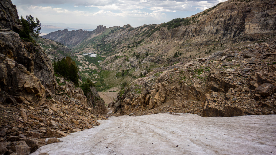
View down Seitz Canyon
The snow was mostly soft enough to kick steps in. Ken and I had the advantage of using Sam’s steps to walk down into, without expending as much energy as Sam. However, it was still slow and tedious. I took out a trekking pole for the first time today, almost never using them anymore, except to support my tent. But here, a trekking pole was great to have. I used my upper hand to balance myself in the snow as I hiked down, which makes your hand quite cold soon enough. So then, I’d switch sides, putting my opposite leg first as the leading leg, giving my other hand a chance to warm up again. Yeah, didn’t think of bringing gloves for this hike. Nor micro spikes or ice axe, but having them here would have been nice.
Ken descending Seitz Canyon
No way around it, it was slow going down Seitz Canyon. Descending the snow field was enough to get your heart rate up a bit, but also not feel overly worried about the dangers of falling. Maybe that’s just my confidence in the snow. Either way, this slope was not glissade-able… safely.
Nearing the bottom of the second snow field
There were two sets of snow fields in the chute. The upper one was the steepest. There was a short section of boulders separating the two snow fields, and then it was on to descend the lower one. Sam was below and hollered up that it was icier than above. Ken, having hiked with Sam on the CDT in 2020, joked that Sam doesn’t kick great steps anyways. It was fun to see the dynamic between these two, it was the first time I hiked with them together.
View back up the boulder chute we’ve been climbing down
Sam near the bottom of Seitz Canyon. The end is in sight!
Past the second snow field, we were roughly halfway down the chute. It’s all steep boulders here now, and I wondered which I would rather have; the boulders, or the snow. I say, the snow.
Bottom of Seitz Canyon. Glad to be out of this one!
Flat ,open ground!
View back at the chute we came down
We took a break near the bottom of Seitz Canyon, and I ate a snack. I hadn’t eaten in several hours, and really needed the boost. I was indeed feeling better now. We exited Seitz Canyon on a bit of a high, looking back at the increasingly crazier looking chute we had descended. I let out a loud scream into the canyon, which had an incredible echo to it with a delay of a few seconds.
Can’t stop looking back at that view!
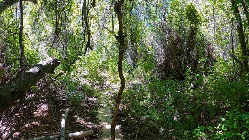
As we covered distance downhill now and entered a flat, open valley above Seitz Lake, we entered a new phase of the hike… bushwhacking. There will be a lot of it in Seitz Canyon, unfortunately. The upper section of the canyon is thick and wet. The views looking back were outstanding, though!
Seitz Lake
Seitz Canyon and Ruby Dome
The bushwhacking continued to Seitz Lake. There really wasn’t any good access to Seitz Lake, surprisingly. The shoreline was thick with vegetation. The view sure was nice looking across the lake and up the canyon, though. We assumed the trail would become more obvious downhill from here, but that was wishful thinking.
The most perfect sunset
Below the lake, we continued to be fooled into thinking we had stumbled on the trail every time we came across the slightest hint of a beaten path. However, the setting sun created an extremely pleasant sunset this evening. We had a few sprinkles briefly, but the cloud cover provided the backdrop for those oranges and reds.
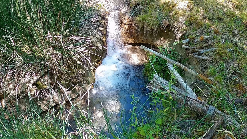
We came across a good sized waterfall around the 8200′ mark as we continued to hunt for the trail. We’re right on it according to the map, but we see nothing 95% of the time. It’s a steep descent down the hillside in thick brush. We reach the creek below and stumble upon a ribbon on a tree. You can tell the forest has been cleared out a litter wider in places, but that it’s overgrown for decades without maintenance.
Bushes, as far as the eye can see, just begging to be whacked
The trail fades in and out and we continue to doubt our ability to stay on whatever the trail is supposed to be. We continue to surprise ourselves though, and routinely see signs that we are on the right path, even if the path is now gone. We saw more ribbons on the trees, scattered randomly along the way, but it’s still a bushwhack.
Ken fighting the brush in the creek bed
We hit a creek bed that we followed for a while, which was dry. However, it was full of tress, plants and debris that made this an obstacle course.
Losing light now, Ken stumbles in the thick brush and falls. He’s alright, but a symbol of how were are all feeling… tired. After a helping hand, he’s up and at it again.
Day turns into night as we continue hiking down the canyon. Sam and I have our phones for light, and Ken also has a headlamp. So, one headlamp for the 3 of us. We hit a slightly better path lower down in the canyon, then some type of 4×4 road.
Now we reach the lower reaches of Seitz Canyon, or Rabbit Canyon as the map now marks it here. This is where the private property begins. Following the road out into the valley means walking through private property. There is a ranch here too, and the road goes right behind a couple of homes. So, to avoid them you must contour around the hills above the private property. Fortunately, in the lower reaches of the canyon here, it’s not thick and green, it’s drier and more barren. Open and easier to walk. Still, it’s dark now.
Pick your poison here… walk the hillsides in the dark or drop down to the private property after passing by the homes and walk a nice road out to Lamoille Canyon. I won’t tell you what to do. Just be aware of the property lines, is all. Use the caltopo app and turn on the public lands layer.
We reached Lamoille Canyon sometime around 10:30pm, having hiked a solid two hours in the dark. That’s a 14.5 hour day of hiking for us. It was a very dark night, too. We could barely see Ken’s Explorer until we where right up on it at the Powerhouse Trailhead.
Ken drove us up to the Roads End Trailhead, and we slept in our vehicles for the night. What a killer hike!!
Lamoille to Seitz Canyon Route Verified As New Leg of the Basin and Range Trail
The route we hiked today was challenging, but repeatable. It was not technical nor was there any real exposure. There is plenty of water, excellent camping and outstanding views. Plan to bushwhack Seitz Canyon, though.
So, I am happy to report that the hike we did today will become the new “standard route” for the Basin and Range Trail to end Section 6. The alternate route would be to hike down Lamoille Canyon, or simply hitch down. The route we hiked today was easily equal to the scenery along the Ruby Crest Trail, if not greater. And not only greater scenery, but far more rewarding. Anyone can hike the well-manicured Ruby Crest Trail, but the off-trail stuff we did today provides a greater adventure in my book. The standard BRT route will still hit the Ruby Crest Trail in it’s entirety (except the final mile or two to Roads end trailhead in upper Lamoille Canyon), and so this new route will only enhance the Basin and Range Trail hiking experience.
In addition to this trail journal, I also filmed my Basin and Range Trail thru hike. I’ve produced a detailed series (11+ hours runtime) documenting this thru hike adventure, the product of over 1,000 hours of video editing. I highly recommending watching the Basin and Range Trail vlog series for an in-depth look at thru-hiking the Great Basin and central Nevada.
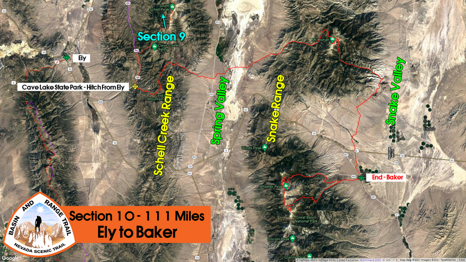
Basin and Range Trail Thru Hike Section 10 Journal
Day 63 – August 2nd: Deerhead Canyon, Mt Moriah Wilderness, The Table, Snake Range
Terri called me at 7:30am and asked if I was ready. I said no, I was sleeping because you said you wouldn’t be here till 9. I said give me a half hour and I’m ready.
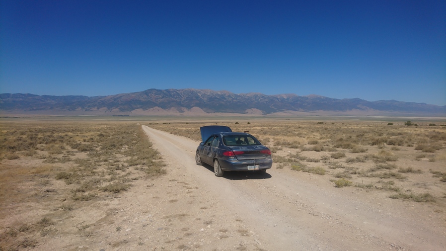
Terri and her boyfriend Ronnie picked me up from the Motel 6 parking lot, right outside my door. She was driving a really shitty Ford Escort from the 90s. I guess Raj had bought her the car, I guess you got to do what you got to do to get people to work for you at the motel in a small town. The trunk was held down with bungee cords, there was a big gash in one of the side doors that prevented the window from operating properly, no AC, shocks were completely gone and it leaked oil. But hey, it only needs to get me an hour away!
We stopped at McDonald’s for breakfast, then the Love’s station for gas and oil, as well as drinks. I filled up her gas tank, which was only 15 bucks. We agreed on a hundred bucks for the ride, not bad for 2 hours of work on her end.
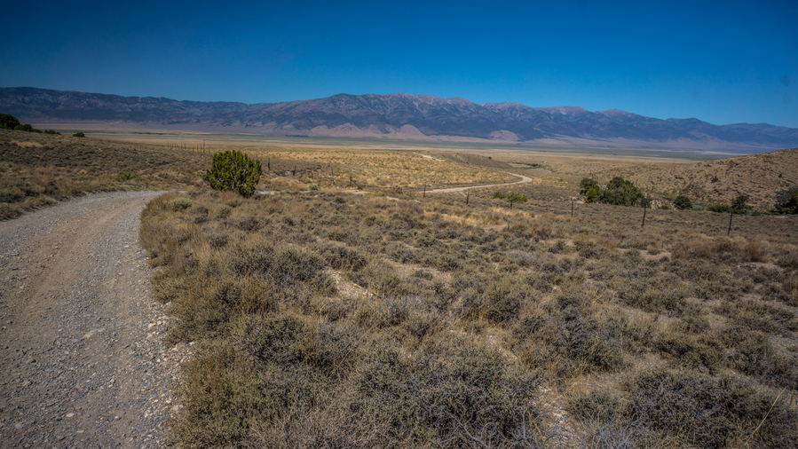
The drive was pretty slow, Terri is a slow driver, have to nurse that car I guess so it doesn’t blow up. Decent drive, got to see some different country and a view of Spring Valley, Mount Moriah and Wheeler Peak.
Once we turned on to White Pine County Road 36, the dirt road going into Spring Valley, the going was pretty slow. The dirt road itself was in great shape, but Terri’s car was not. With no struts, she was going like 7 miles an hour the whole way. Still the dirt road section was pretty slow. Lots of windmills in Spring Valley. This is somewhat unusual for Nevada, I have not seen this yet.
Shuttle ride to Snake Range
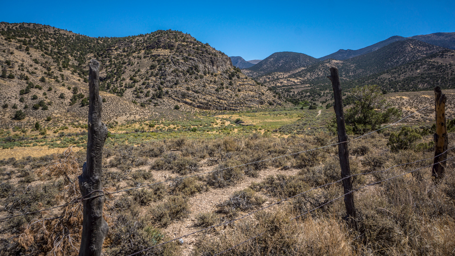
It was even slower when we turned onto the next dirt road that let us to Deerhead Canyon. Eventually, we reached a cattle guard along and open fence line. There was a spot to turn around here, so I said this is good enough. They were a bit apprehensive to drop me off in the middle of nowhere, in this kind of heat, but I assured them I’ll be alright. I paid her the $100, they checked their oil, and they were on their way. Alone again, for the final section.
There was indeed a ranch, or at least some type of home, down in the ditch along the road. I was glad to see that the road was not blocked by no trespassing signs, this public Road went through private land and allowed me to access the public land on the other side. This is not always possible in Nevada, so this was a big win for me.
View across Spring Valley to Schell Creek Range
View up Deerhead Canyon
I began the hike up Deerhead Canyon. Before long, I found a spot that had flowing water. Good flow to it actually. This was good, I didn’t have to worry about water today. However, there were signs of cows, and this became more of an issue as I progressed up the canyon.
The canyon is becoming more impressive as I gain elevation
The canyon itself became more green and Lush the higher I went. At first, it was just a Thicket along the creek, but the road was so good that it was no problem. I saw one Sagebrush Bush that was 8 to 9 feet tall, perhaps the largest I have seen on the Basin and Range Trail.
Game trail remains where the road ends
There are several side Canyons that intersect Negro Creek in Deerhead Canyon. Eventually, after a junction with another Canyon, the road pretty much died out. All of the sudden, it was a thick bush whack through thorn bushes long the creek. Then I found a way around it, and the trail was a little better. But it was a trail now, not a road.
Jungle-like hike in Deerhead Canyon
A hidden jungle in the Nevada wilderness
Buskwhacking through thorn bushes
A little further Upstream was where things got really bad. I’m wondering if I missed the main Trail, because the bushwhacking was so bad that I thought the trail was going to fade out completely. Along the creek it was like a jungle. Green, Lush, Vines hanging from the trees. Several Creek Crossings, lots of mud and muddy fields, and at times the trail itself was a flowing Creek. My backpack would catch on everything, all of the branches. This was a major pain, but eventually I emerged into a small field where things cleared out a bit and a better Trail existed.
Interesting rock formations now
Those vertical towers, behind the trees!
Really cool rock formations in Deerhead Canyon
Now, the canyon was lined with interesting rock formations. A lot of Flat Rock stacked on each other. These would tower over the Canyon in interesting ways. Fingers, crags, spires. Even saw a small cave, but I could not reach it without doing some climbing. This was a cool area.
The trail itself did have some maintenance done to it in a few random sections. There were cut logs here and there. There is also a lot of cow shit. It was clear to me that the Rancher at the head of the canyon had done the maintenance himself, so that his cows could reach the high country and Graze there.
One of several creek crossings
Very small waterfall
Difficult route up Deerhead Canyon, but a beautiful hike
The route up Deerhead Canyon continues to intermittently have some path to follow, while crossing the creek and a few small waterfalls, casacdes.
Today was supposed to be 101 degrees in Baker. It was certainly hot, but I felt hotter a few days ago on a climb in the Shell Creek range. I was pleased at how well I was handling the heat today. I took the opportunity to dunk my head in the water every chance I could. Didn’t drink as much water as I thought, though. Typical for me.
Upper Deerhead Canyon
Last water before the climb up to Mt Moriah
Last time the trail crosses the creek, I stopped in the shade to filter two liters of water. One to chug, one to take with me. This gives me 5L to carry. This is enough to get up to the table, Summit Mount Moriah, and come down into Henry’s Creek where I know there’s water.
The route up Deerhead Canyon
Awesome cliffs and rock formations now in upper Deerhead Canyon
The trail almost completely disappeared now as I was in the upper reaches of the canyon. All That Remains is a faint cow Trail through the Sagebrush, and eventually, Aspen. The grade of the trail got a bit steeper here as well, which got me breathing hard for the first time today. The rest of the trail Downstream from here was pretty well graded.
Once at the top of Deerhead Canyon, there is a 4×4 road
Break spot in the aspens
Made it out of the canyon around 5pm. I immediately hit a dirt road, which I was thankful for. Now I have a good road to follow. It was mostly wide open Hills now, slightly rolling, with patches of Aspen here and there. I walked a ways down the road before finding a spot to take a break in the shade and eat.
After a quick break I continued on the dirt road. While walking up this road, a side-by-side was coming down. It was two guys, probably in their 30s, all dressed up and camo. I asked if they were out scouting for Elk, they said no, chasing cows. Well just as fun, I said. They asked what I was doing, and I told them this was day 63 for me on a long-distance hike through Nevada. They made a quick joke about being like a mountain goat, said alright have a good evening, and left.
Mt Moriah view from trail in Big Creek Canyon
View northeast to Snake Valley, into Utah
Next I entered the Mt. Moriah Wilderness, proper. There was a sign here for a Trail, Big Creek Trail I think. It said the table, 2 miles. I could see Mount Moriah very well now, the back side of it, the rugged side.
The rugged backside of Mt Moriah
Bristlecone Pine Trees
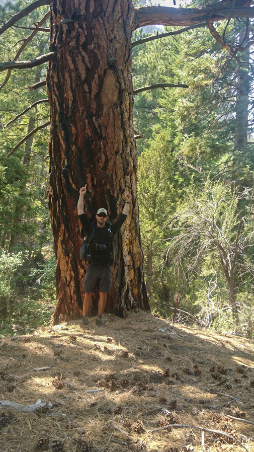
Look at the size of this tree!
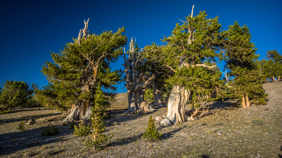
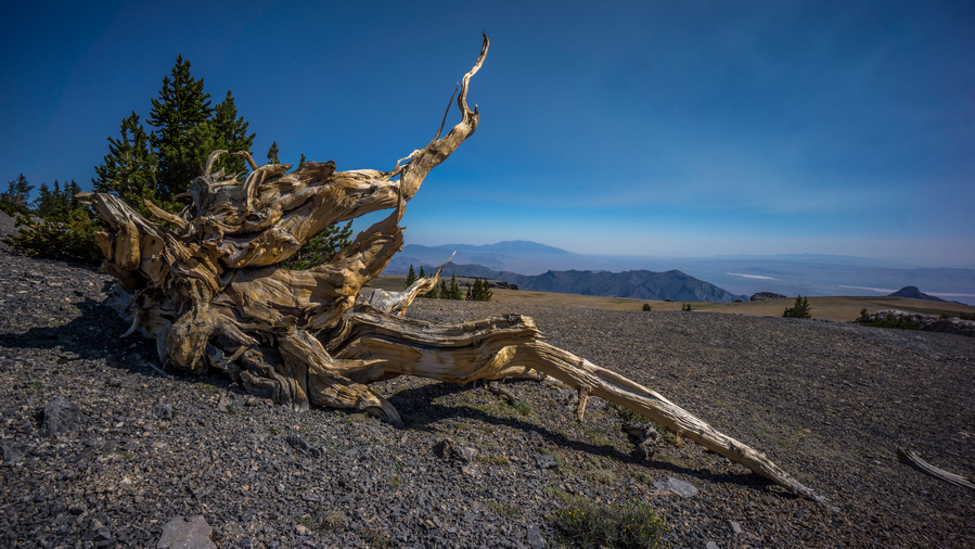
The trail climbs up out of Big Creek Canyon to a a flat plateau at 11,000ft called “The Table”. Near the top of the climb, there is a stand of bristlecone pine trees. These trees were huge! Bristlecone pines are the oldest living organisms on Earth. These trees can live to be over 4900 years old! One was massive, its trunk was wider than the width of my arms extended. Next to it was a tree I called the T-Rex. Big, fat and tall, but with two stubby little branches on the sides like T-Rex arms.
It was 5:30 now, and I had hopes of reaching the table by 6:30 or so and setting up camp. If I could do that, I had a shot at Summit in Mount Moriah this evening. The plan would be to make a base camp, then I could run up the mountain with minimum weight on my back.
Hiking up to The Table
The climb up to the table really wore me out. I had already climbed about 4000 ft today, but this was all on fairly well graded terrain. Now, the trail was extremely steep, and I had 1200 ft elevation gain to go. Found a spring that wasn’t on the map, just like I did in the upper reaches of Deerhead Canyon.
View of Mt Moriah on The Table
Hiking The Table at sunset
Farther along the table, The terrain becomes flat and open, with patches of trees. Great view of Mount Moriah from here. There were several good campsites, but I was intent on camping wherever the climbers Trail up to the summit meets this trail. That way, when I’m done climbing the peak in the morning, I don’t have to backtrack to my campsite. It was 7pm now and I had decided not to go for the summit. Clearly, I didn’t have the time to do it.
Shadows of the last trees
View out into Utah
At one point the trail emerges from the last patch of trees and out into a very open and flat area. Hard to believe I was at 11,000 ft. From here, I could see into snake Valley and into Utah. It looked pretty desolate. But, there’s Beauty in desolation, and this was a perfect example.
Even though the terrain was now flat and open, there was still a bit of a Ridge or High Point on the horizon, even if it was not that much higher than everything else. On top of this high point was a bull elk. Then I noticed another Elk next to him in the shadows. As I moved closer, they ran away. It was around this point when I noticed the first cairn leading up the Ridgeline to Mount Moriah. I found the climbers Trail, so now it’s time to look for a campsite.
View of Mt Morah from camp. The summit is hidden from view
View into Snake Valley and Utah
A mesmerizing sight, watching the full moon rise over a massive, desolate landscape
Fortunately I didn’t have to look long. I climbed up the Ridgeline a short ways to a patch of trees, and found a small Rockwall that someone had built to block the wind. I didn’t set up my Camp behind this Rockwall, because the wind was blowing in a different direction, but I still was able to find a pretty good spot here.
Excellent view from camp tonight with a full moon
View from camp
Excellent views to the east out into Utah, as this campsite sits on a bit of a High Point along the Ridgeline. The moon was full, or almost full now, and just starting to rise from the horizon. I set up my GoPro for a time lapse while I set up my tent.
I was hoping to be able to Summit mount Moriah today since its my birthday, that would have been a memorable moment. Oh well, I’ll bag it tomorrow morning. I’m pretty tired now anyways, and was actually feeling a bit short of breath coming up the climb to the table. A night of rest will be good.
Day 64 – August 3rd: Mt Moriah Summit, Snake Range, Hendry’s Creek, Snake Valley
Left camp around 6:45am to climb Mount Moriah. Pack was very light, only carried 2L water, toilet paper, camera, GoPro and GPS. In fact it was awkward carrying the pack without any weight in it, it didn’t sit right on me and the water in my side pockets moved around a lot.
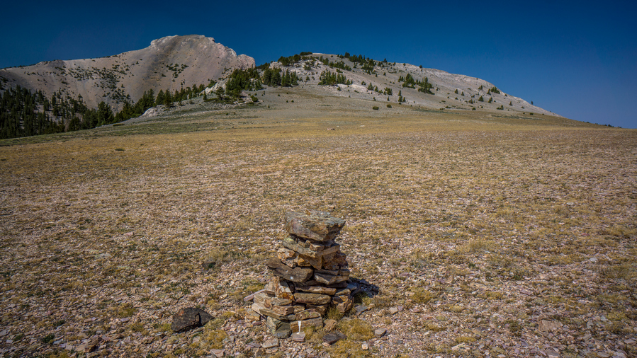
Small pile of rocks marking the social trail to the summit of Mt Moriah
Hiking up to Mt Moriah
Went back to the area where the cairns marked the climbers trail for Mt Moriah. Down below on the table, I saw 4 Bighorn sheep. At least, that’s what I think they were. They were too far to tell for sure.
The route up to Mt Moriah
A good trail exists in spots
After a little climbing, the trail goes to the left of a ridge. From here, it goes to a saddle between the ridge I skirted around another prominent High Point. Great views of this high point, the same one that I could see from my camp. One would think it was Mount Moriah itself, but the summit is hidden from view behind this.
View northwest to Spring Valley and Schell Creek Range
Awesome views from the saddle below Mt Moriah
At the saddle, I took a little time to explore the small High Point. This gave great views of the backside of Moriah, which was basically sheer Cliffs. Then I continued on the trail around the high point. Eventually reached an area where I had my first view of Mount Moriah proper. It did not look impressive at all, at least not compared to the high point that I skirted around.
Looking back at the route I’ve hiked so far along the ridgeline
View down Hendry’s Creek, where I’ll be hiking later today
The route up to the summit wasn’t exactly straightforward, though. From the trail, I chose to leave it and go straight up a steep and loose Hillside. It looked like the trail went around to the south side of Moriah, maybe there was another route up that way. Maybe the trail I was on was just a game Trail. Either way, I made my way up to the saddle just below the summit, and then eventually the summit itself.
Mt Moriah summit view. The flat plateau below is the area I hiked last night called The Table. If it wasn’t obvious why last night, it certainly is from this perspective
Summit view south to Wheeler Peak and Greta Basin National Park. My end point is in sight now!
Mt Moriah Summit view west over Spring Valley to Schell Creek Range
Standing tall on the summit of Mt Moriah, 12,067′
Great views from The Summit of Mt Moriah at 12,067. Forest fire smoke rolling in from California, so everything was a bit hazy. It’s always nice to have a crystal clear view, but with the angle of the early morning sun, the haze added a mystical vibe to the view. Found the summit register, which was basically full. I wrote on the back. It had just been climbed about a week ago. I had cell phone service on the top, but it was going in and out. Quasi-4G.
Cool ridgeline views coming down from Mt Moriah summit
Hiking across the rocky slopes on the descent from Mt Moriah
Good views all around on the Mt Moriah summit hike
The hike back down from Mt Moriah was quick and mostly easy. There was a bit of scree sliding to do, which I actually enjoy. Dig your heels in and slide!
Made my way back down to camp. Packed everything up and started hiking around 10am. It was a weird feeling getting such a late start on the actual hike of the day. I don’t typically make a base camp to bag a peak in the middle of a hike, its usually either along the route or it isn’t.
View of Mt Moriah from the trail dropping down into Hendry’s Creek
I went back down to the trail that ran across the table, and followed that to the Hendry’s Creek Trail. There was a sign marking the trail, an obvious path and lots of carins. I was hopeful that it this would continue all the way down through the end of the canyon and out to Snake Valley, but that’s a lot to ask for.
Upper Hendry’s Creek views
The upper reaches of Hendry’s Creek canyon were okay. There was no water yet, but a bit of a view of the surrounding Cirque. Besides that, it was not all that interesting.
Spring forming a flowing creek in upper Hendry’s Creek Canyon
Soon the trail drops down off of the hill sides and into the bottom of the canyon. Almost immediately, I found a spring creating a small Creek. From here on out, I would have water almost all the way down to the mouth of the canyon.
Hiking trail through a nice forest in Hendry’s Creek
Hiking the Hendry’s Creek Trail through stand of aspens
Immediately Downstream of the spring, the trees grew thicker and provided shade. There was a nice Trail through the forest. When the creek got large enough, I stopped to filter water and eat some food.
Hendry’s Creek flowing throughout the hike down the canyon
Rock formations beginning to pop up throughout the canyon
The upper reaches of Henry’s creek where Pleasant in the sense that I had a solid Trail to walk, it was going downhill, and I was in shade. Also along a nice water source. Some of the pools in the Creek had trout in them. Passed a clearing in the forest that had a cooler just sitting out. I opened it up to find a large rock inside, that was it. Okay then.
Majestic view in Hendry’s Creek Canyon
Towering rockwalls line Hendry’s Creek
Around the middle section of Hendry’s Creek canyon, the rock formations and sheer Cliffs began to command attention. When the tree cover subsided for a moment, the canyon walls were there to impress. And big time! I found myself in awe of the canyon walls, now with a smile on my face and walking slower. Taking more pictures, and filling my GoPro SD card quicker. Looking up at some of the cliffs, they must have been 1000 ft straight up. Looking up into a side Canyon, there would be layers of Cliffs that had haze in between them from the incoming forest fire smoke. Pretty cool looking, actually.
Huge pine tree!
There were some extremely large pine trees along the trail as well. The trunks of these were as wide as I could stretch my arms horizontally. I really like this Trail. I began to reflect on my Basin and Range Trail thru-hike as a whole, as the miles and days count down.
Big views in Hendry’s Creek Canyon
Good views as the trail drops lower in Hendry’s Creek
Leaving the Mt Moriah Wilderness
As I got lower in the canyon, the water in the creek dried up. This had me worried, but then a few hundred feet down Trail, there was water again. And then a few hundred feet later, it was gone. So next time I saw water, I made sure to stop and fill up. It was mostly flowing after that.
Hiking Lower Hendry’s Creek Trail
An imposing rockwall
Massive landforms line the canyon walls on the hike out of Hendry’s Creek Canyon
The very lower section of Hendry’s Creek canyon was interesting. It was mostly open now, and becoming much less green. But the Canyon walls were still impressive, they just had a different style to them. Some of them resemble more typical desert rock formations, while on the other side of the canyon there were still a few lingering sheer cliffs. It was an impressive view up the canyons. Water was still flowing too. I passed a very large group of chukars. Thinking this was the last time I was crossing the creek, I took my shirt off and washed it in the water, mostly for the purpose of cooling off.
Looking back up Hendry Creek Canyon
Much more desert-like, barren landforms here as Hendry’s Creek Canyon opens up
Excellent hiking in lower Hendry’s Creek
Junction of Hendry’s Creek and South Fork Hendry’s Creek
The lower segment of Hendry’s Creek Canyon continued to impress. Definitely drier and more barren looking, but a different kind of beautiful.
Desolate views into Snake Valley. The forest fire smoke doesn’t help any
As I reached the mouth of the canyon, things looked extremely dry and desolate now. There was a junction in the road, and I took a turn heading towards Great Basin National Park. Now, I would skirt the hillside for several miles, going up over a few hills and small passes. First, I follow some roads up the Hill, where the road disappears. I side-hilled over to a ridge/pass. I marveled at just how desolate it felt now, such a far cry from the beautiful Canyon only a few miles away.
Fenceline above “The Cove”
View of Wheeler Peak beyond “Gun Sight Pass”
Now I dropped down into an area marked on the map as the Cove. There were a series of roads weaving in and out of here, an old Quarry of sorts. And the distance, I could see the pass I wanted to go over. It looked like a gun sight, and in the distance be on the gun sight was Wheeler Peak, standing out among the haze. Something about this stood out to me. My final destination lies straight ahead, through this gun sight pass, in the mysterious haze. It was beautiful. It was symbolic.
Awesome views of the Mt Moriah Wilderness from The Cove
At first when I dropped down into the Cove, it was not that scenic. However, the Final Approach up to the pass, the gun sight, was very beautiful. The peaks of the Snake Range to the north now show their true character. They were tall, Jagged and imposing. In the foreground was fields of golden grass. I really enjoyed the walk up this pass, it felt like a cross between Goshute valley and, well, I don’t know, someplace with Majestic mountains. With the sun setting behind them, it was just really nice.
Descending Gun Sight Pass to what appears to be a water source in the valley below
Eventually I crested gun sight pass. Wheeler Peak showed itself on my last few steps up to the pass. The same Peaks I had been admiring to the north remained, but now I could also see Wheeler Peak and the rest of the Great Basin National Park Ridgeline. Additionally, I could see a patch of green below the pass. I had nothing on my map marking a spring or any water source here, but that’s sure what it looks like from here. Better check it out.
This spring wasn’t marked on my map. What a nice surprise. Good water, too!
Water overflowing from this trough
When I dropped down off the pass, sure enough, there was a spring among the green. It was a round metal trough with a hole in it, and water squirting out like a faucet. There was a lot of algae in the water, but the water itself was crystal clear. Additionally, there was a wooden sign here that said Craig spring. This was a really great find. My original plan was to leave the road and walk up Hill a ways to a guzzler. This would have been at least a 200 ft climb up the hill. So this spring saved me time and hassle of seeking out the guzzler, which surely would have been a lesser quality water source. Ate dinner here, filtered several liters, chugged a few, and washed up a bit. It was now closer to 7pm, and the sun and finally gone down behind the mountains and cooled off. Today was forecast to be 99 degrees in Baker, so it was a hot day and this was a welcome relief.
Nice hike this evening along the base of the MT Moriah Wilderness, overlooking Snake Valley
From here I followed a road that basically skirted the hillside for a couple miles. I overlooked snake Valley as the sun went down. Forest fire smoke lingered in the air. My feet were feeling a bit sore actually, mostly in a way that resemble them being wet and being rubbed raw. However, my feet really weren’t wet today.
It was a surreal feeling walking towards Wheeler Peak on my hike this evening. The end point of my entire 2+ month long thru-hike of Nevada is now in plain sight. On one hand, I am ready to be done. I don’t want to do any more climbing, no more bushwhacking, I just want to rest. But on the other hand, I’m not looking forward to piecing together some sort of meaningful life again when I return from this hike. Out here, I have meaning and purpose, but back at home, I always feel like Im just living life in-between adventures.
A spring coming right of out the road!
As I made a turn onto another dirt road, I saw a spring that was flowing right out of the center of the road. I have never seen anything like this. The pool was probably about 15 inches in diameter, and deep enough to dip a bottle into easily. Crystal Clear water, a great source actually! Just a strange place for it, in the middle of a dirt road.
Camping in the shadows of Wheeler Peak and Great Basin National Park
Now around 8pm, the sun was fading. There were many spots to camp alongside the road, so I just chose a random clearing. There were more lights down in the valley than I thought. The Moon Rose to the east, it was full and extremely red looking. Probably thank the forest fire smoke for that. I called it the Super Ultra Mega Ultimate Harvest Vampire Blood Moon, like all the ridiculous names they give full moons on the Weather Channel.
Hot night, don’t even need sleeping bag. Hope I can sleep.
Day 65 – August 4th: Snake Range, Snake Valley, Baker, Snake Creek, Great Basin National Park
Morning views from camp in Snake Valley
Woke 6am. Hot night. Must have been tired, slept like a rock.
Following this 4×4 road out of the mountains
Hiking towards Baker. Wheeler Peak in the distance
Its a road walk into Baker now, mostly along some old 4×4 roads to begin the morning.
While planning the BRT route, I came across a GPX file marking a bunch of old plane crash sites across Nevada. I plotted these out over my route and if they are close enough, will investigate the marker to see if there is anything there. This morning was one of those opportunities. I headed a few miles cross-country to a waypoint I marked for an old plane crash site from the 60s. When I reached the coordinates, there were no signs of anything here. No debris, no physical evidence of a crash, nothing.
Hiking the powerlines
Cobrarod, eh? Sounds pretty badass. Found these tags on the powerline posts
Silver Creek Reservoir
Followed road along some powerlines thinking it was the correct road, but apparently it wasn’t. Took me at least a mile out of the way to Silver creek reservoir.
At one point this morning, my GoPro fell off a fence post and cracked the screen protector. At least, I hoped only the screen protector was cracked, and not the lens behind it. However, since I will be walking through the town of Baker today, I figured Id just stop at the post office, get my bounce box, and slap on a new screen protector that I keep on hand for just such an occasion. Otherwise, I wondered if a hairline crack would be visible on the footage taken now with the GoPro.
Crossing Hwy 50/6
The walk into Baker seemed like it took forever. It didn’t look far away, but man did it drag on. Crossed hwy 50\6,then another 4 miles into town.
Baker is a very small town. In fact, its downright pathetic for a National Park gateway city. The population is only 58. Baker has one motel, an rv park, no breakfast places, no lunch places, and only one place to eat dinner, on certain days of the week, which is operated by the motel. Baker is so small, the gas station here doesn’t even have a convenience store attached. You can only pay at the pump. The Stargazer Motel offers a small selection of snacks, but is only open in the late afternoon for like 4 hours, on certain days of the week. You cant just go to the store and buy something simple like a Pepsi in Baker. Crazy, for the closest own to a National Park. That ought to give you an idea of how little visitation Great Basin National Park gets, if the closest town isn’t even large enough to support such basic services.
Stopped in the great basin National Park visitor center on my hike into Baker, bought a couple stickers. Did the free Backcountry camping reservation, even though its not technically required. Believe it or not, the visitation is so low in Great Basin National Park that there is no permit required for backcountry camping. You can just drive there, park, and hike overnight without doing anything else. In a National park!! This sums up my experience hiking in Nevada.
While waiting for the post office to open I saw this flyer on the bulletin board
Stopped at the Post Office when I reached Baker. Closed till noon, and the post master was 10min late returning from lunch. Picked up my bounce box, she said I need to pay the 21 bucks again if I open it, even if I just grab something out of it. Asked where to eat, but there was nowhere in town that’s open. Just the coffee place next door, a small food cart.
Coffee shack thing has picnic tables and shade. Got an Italian soda and ate my own food while I opened the bounce box and put on the new Gopro screen protector. Charge batts with remaining juice in 20000 mAh pack, will put that back in BB. Put stickers and rocks in BB. Will try to leave BB with a motel before leaving town today so I don’t have to pay for postage again. Today is Tuesday, and will try to finish Thursday night.
Walked across the street to Stargazers Motel, with bounce box in tow. The office wasn’t open for another half hour, but since the UPS truck was there making a delivery, the door was open and I talked to the owner. I recognized the owner, I just saw her in the post office picking up her mail from a PO box. I asked if they had any rooms available for Thursday night, and they had one. 78 bucks, no fridge or microwave. Whatever, it’s not like there’s a convenience store to buy things from anyway! I said sure let’s do it. They also had a restaurant that was only open Thursday through Sunday, 4 to 8pm. Man the hours people work in small towns. Can’t blame them, but on the other hand, it’s super inconvenient when you happen to be there outside of those hours. I’m just lucky I will be there for dinner, because I’m going to want to eat after finishing this hike! I also asked if I could leave my bounce box there with them until Thursday, and they said no problem. And finally, I asked for a couple of liters of water to take with me.
I started walking down the road out of Baker to continue south. I’m trying to reach Snake Creek, the canyon that will take me to Johnson lake, my route up to the high country. Somewhere in Baker was the lowest point along my route here through Snake Valley, roughly 5,200. From here, Ill be climbing to over 13,000, and that’s without all of the ups and downs in-between. A 7,800 climb, in this heat, sounds daunting.
Enter Snake Creek Canyon
It was mid afternoon now when I reached Snake Creek and began the hike up to Johnson Lake. Its 2000ft to Johnson Lake, mostly along a road that leads up the canyon. Also interesting to note, Mt Moriah was part of the Snake Range. The Snake Range actually continues south of Hwy 50/6 into Great Basin National Park. Great Basin NP and the Mt Moriah area look like completely different mountain ranges, but apparently, they are part of the same range.
So now I have about 48 hours left on the Basin and Range Trail. This kind of hit me all of the sudden, realizing it after I made my hotel reservation. Realistically, I’ll get back into Baker mid-afternoon. Wow, only 48 hours to go! I feel like I should have some profound Revelations, some deep and meaningful thoughts about the whole adventure as it comes to an end. But, for some reason my mind is just blank. A bit like the CDT in a way, not what I was expecting at the end. But I still have 48 hours to go. 48 hours to reflect, Ponder and look back on this experience. Tomorrow will be my last full day… That thought just hit me as well!
The lower reaches of the canyon consisted of a rearing station, I guess this is like a fish hatchery. Up the road from this was some private property for about a half a mile. This parcel of private property seemed to be pretty adamant about no trespassing. His gate had numerous no trespassing signs, including a handwritten sign that said “there is nothing on this property worth losing your life for”. Looking into the property, it look like some sort of compound. Like a polygamist compound, or maybe just some loony prepper.
Entering Great Basin National Park
Father up the canyon, after the private property ended, there was a sign that said entering Great Basin National Park. Around here, was the first time you could access the stream that flows along the road, Snake Creek. I stopped to take my shirt off and wash it in the water, and put on a cold shirt. You wouldn’t believe how much of a difference this makes, it really takes the heat down a few notches. And of course, dunked my head a bit and tried to cool off.
Views while hiking up Snake Creek Canyon
Views form Snake Creek
I saw several deer on the way up to Canyon. A few at a time, and different places. There were some spots that had rock formations that were similar to Hendry’s Creek or Deerhead Canyon of the Mt Moriah area, but overall, the canyon was not that interesting. It was a bit disappointing, actually. But then again, its just the lower reaches of the canyon, and many canyons don’t get good until the upper reaches. Every so often, there were pit toilet bathrooms and a couple of campsites along the road. National Park has funding for all this, but not enough to take care of the horrible washboard road here. The only thing that sucks more than walking on a washboard Road is driving on one.
The high country is in sight
While Snake Creek was flowing in the lower potion of the canyon, it Was dry now in the middle section. The stream began to flow again as I approached the lower Campground, Eagle Peak or Eagle Pass, something like that. This wasn’t the campground at the end of the road, but about 2 miles before that.
When I reached the end of the road, there was a pit toilet and Trailhead parking. You could park here and walk into a couple of campsites they were nearby. I stopped here at the trailhead parking lot to eat dinner. The national park has these nice little stone walls that are about a foot and a half tall, perfect to sit on. But pretty useless otherwise! Again, would rather have a non-washboard road than a little decorative wall. I felt like I’d covered a lot of ground today, but still wanted to make more progress. After all, it was only 6:30 or so now after dinner.
The Johnson Lake Trail starts here from the trailhead. It’s 3.9 miles and 2600 elevation gain to Johnson Lake, which is just below the crest of the Snake Range here in Great Basin National Park. I doubt I would make it tonight, but at least want to put a dent in that elevation gain. Tomorrow is going to have enough climbing already.
Views uphill from the trailhead
After leaving the trailhead, the trail passes through one of those walk-in campsites, which had a few people camping here. The two guys that were camped there were walking in right behind me. Up the trail, past the walk-in campsite, was a wooden bridge over the creek. I thought about it, and this might be the first bridge that I’ve come across on the Basin and range Trail.
At the creek with the bridge, I stopped to filter one liter of water. While I set up my gravity system, I washed my socks and my legs with my wash rag. Looking over at my water filter, It was clear that something was wrong, it was leaking too much. I removed the filter from the platypus bag and noticed that my gasket was messed up. That was from putting the water filter on upside down last night, when I was hot and tired. Stupid mistake. Now the gasket is all chewed up. Fortunately, I have a couple of extras. So it was no big deal to swap it out with a new one. I just felt a little dumb for doing that.
Sunset over Snake Creek
Upstream, I saw a couple more deer. Some nice Aspens alongside the trail. Eventually the trail weaves in and out and emerges in an open spot. For the first time today, I felt like I was in the high country. Still had a ways to go, though. Not all that much to say about I tonight’s hike, it wasn’t that interesting overall, compared to a lot of other places I’ve been along this route. The trails are well maintained, all of the downed logs have been cleared. But a lot of the time it just felt like I was walking through a forest with no view and climbing uphill quite a bit.
Found a spot to camp just before 8pm. A really good spot Actually, about a hundred feet off Trail, with a perfect area of flat ground that has already been cleared.
Left pinky toe has been sore all day. Looks like maybe a small blister on the inside, but really, more than that, something to do with the callus on the bottom of the toe and some rubbing issues there. Overall pretty tired. Just two more nights to go!
Day 66 – August 5th: Great Basin National Park, Snake Range, Johnson Lake, Great Basin NP High Route Traverse, Wheeler Peak Summit
Campsite below Johnson Lake
Have been feeling a bit more tired than normal last few nights. Slept pretty good. Felt a little rough when I woke up, but fine once I start moving. Rough in the sense that I just feel overall tired and worn out. Today is my last full day of hiking on the Basin and Range Trail.
Cabin down at the mill site. There are more buildings uphill
Still another 1200 ft to climb up to Johnson like. Passed the Johnson Lake Mill, where tungsten ore was sent down from mines near the lake for processing in the early 1900s. The trail was steep and Rocky. I could hear a creek flowing near the Johnson Mill.
My thought was, today was going to be tough with a lot of climbing but since there were so few miles to cover, that I would have plenty of time, making it a somewhat leisurely day. I was in a really good mood this morning. However, I’m struggling to make sense of my emotions on this last full day of hiking. My mind is all over the place.
Johnson Lake Cabin
The most intact cabin at Johnson Lake
At Johnson Lake, there were several cabins. Some in better condition than others. Lots of Rusty cans, bottles, random mining equipment like Transmissions, gear shafts and Motors, rusty old barrels, fuel canisters.
Hiking up to Johnson Lake
Johnson Lake
Johnson Lake reflection
Reflection on Johnson Lake
I stopped along the shores of Johnson Lake to filter some water. I could hear voices somewhere, assuming they were up on the Ridgeline above the lake, but I couldn’t see anyone. I knew there was someone camping here based on the trail register at the trailhead last night. I could hear a tent rustling in the wind over in the trees, didn’t know if there was anyone there right now though. While I was filtering water, a guy walked up and started filtering water about 50 ft away from me. I asked him where he was going today, he said Wheeler Peak and then down to the Trailhead below wheeler. That’s what I’m doing too, I said. He had a very small and light day pack. He said he was just going to chug some water and take one liter with him for the whole way. Wow, that’s it?
An old trolly, with the cable still intact
Climbing the pass above Johnson Lake
I started the climb up to the pass above Johnson Lake. A little ways up, there was a metal cable running from one part of the mountain up to a higher part of the mountain with a little trolley on it. A relic of the old Johnson mine. Nice view looking down on Johnson Lake. The lake is pretty small, but hey, it’s a lake, in Nevada. What more can you ask for?
Last view of Johnson Lake and Snake Creek
View of the Great Basin National Park Ridgeline to Wheeler Peak
Made it to the top of the pass. Walking away from Johnson Lake, there were some cairns that led down to Baker Lake. In the distance, an imposing Ridgeline Loomed. Baker Peak and Wheeler Peak, along with the unnamed high points in between them. I took the trail down to Baker Lake to the point where it was about even with the saddle I was heading for, and then I was off Trail for most of the rest of the day from there.
Johnson Lake is below the pass in the center, Pyramid Peak is to the left
Pyramid Peak
Climbing up the boulders
Once I reached the saddle, it was pretty much just a boulder field. I was hoping this was just a temporary thing, but this was pretty much consistent with the rest of the day. Definitely a bit more intense than I had anticipated. I’m glad I had more than just one liter of water on me!
The route across the ridgeline
View south along the ridgeline
It was extremely slow going. Very slow. I assumed there would be a path around some of these unnamed high points, like a horse Trail or social trail. But since it was just a giant Boulder field, there was nothing. I was forced to mostly stay on the Ridgeline proper, which meant more elevation gain. And it was as slow as you could imagine moving through a giant field of Boulders. Reminiscent of the Wind River range high route, or perhaps the Sierras.
Rugged ridgeline hiking ahead
Working my way along the ridgeline
Moving around the first High Point was slow. After I dropped down to a saddle in between the first and second High Point, I got a good look at the second high point, which was basically the back wall of the cirque of Baker Lake. It was extremely Jagged looking, a collection of spires and hoodoos. It didn’t really look possible to walk that Ridgeline, so I took a path below it, skirting the mountain side. Here it was a steep field of boulders. Many of them moved under my feet. It was slow, tedious, and frightening at times.
An interesting looking rockwall
Jagged ridgeline above Baker Lake
Eventually I made my way up to the top of the Ridgeline, tired of skirting the hillside through steep boulders. To my surprise, it was easier walking up here then it was down below. Additionally, the views were spectacular!
Ledge jetting out over Baker Lake
What an awesome ridgewalk! Baker Lake below
On the Baker Lake side of the crest, massive sheer cliffs dropped down what looked like a thousand feet. The Ridgeline was segmented, little inlets and valleys, massive death chutes, that looked like a gun sight. They were too many of these to count. They required a little bit of work to go around them, but they were so darn impressive. The entire ridgeline above Baker Lake was outstanding.
Baker Lake seen from a “window”, one of many along the ridgeline
Life was a bit more pleasant now that I am walking the Jagged Ridgeline, even though it’s still tedious in slow going. At least I had amazing views to make it all worthwhile. Talk about saving some of the best scenery on the entire Basin and Range Trail for last. That’s exactly how today felt, I was just blown away by The Incredible landscapes. What a way to end my BRT thru-hike, with a Great Basin National Park high route across the rugged crest of the Snake Range.
View west across Spring Valley and the Schell Creek Range
Views south along the ridgeline
In between Baker Lake and Baker Peak, the hiking was a little easier. Here, it was just a walk along talus, with no steep slopes to contend with.
The ascent to Baker Peak
Baker Peak view southeast over the Snake Range, Snake Valley and Ferguson Desert
Next I began the Ascent of Baker Peak. It was less steep, so it made hiking on the boulders a bit easier. But it was still a boulder walk. Everything was today, all the way up to Wheeler Peak. Once at the top of Baker, I enjoyed excellent views in all directions. At 12,305, Baker Peak is the 4th highest mountain in Nevada.
Wheeler Peak
Now I had a clear view of Wheeler Peak, and the Ridgeline leading up to it. The path ahead looked very steep, and needed to find a way down to the Ridgeline.
Ridgeline to Wheeler Peak
Baker Peak north face
Outstanding views along the north face of Baker Peak
It was steep coming down the Ridgeline from Baker Peaks north side. Once I dropped down in elevation some, then it was time to skirt around to the Ridgeline. This was perhaps one of the most impressive segments of trail today in terms of pure Scenic Beauty. Looking back at Baker, it was just so damn impressive. A massive vertical rock face. A couple of them actually, dominated The View to the South. I couldn’t stop looking back.
Killer lunch break spot
Gotta soak in this view, it will all be over tomorrow!
I ended up taking a break here to eat some food. Sat right up on top of the fridge, and dangled my feet over the edge. The north face of Baker Peak is said to be one of the tallest vertical rockwalls in the entire Great Basin, perhaps only second to its neighbor to the north, Wheeler Peak. Seems like good spot to sit for a minute.
Ridgeline to Wheeler Peak. Awesome!
Excellent hiking along the ridgeline
I really enjoyed this Ridgeline. Eventually, I reached the saddle, the low point between Baker Peak and Wheeler Peak, and began the 1200 ft Ascent up to Wheeler.
View of Baker Peak from climb to Wheeler Peak
South face ridgeline hike to the summit of Wheeler Peak
The Climb to Wheeler Peak wasn’t too bad, in the sense that the boulders were mostly pretty secure, didn’t move too much. There really wasn’t a path per se, but at times I felt like there were little patches of grass in between the boulders that made it seem like that was the right way to go.
Wheeler Peak summit view south
Reached the summit of Wheeler Peak around 5pm. At 13,065′, Wheeler Peak is the 2nd tallest peak in Nevada. The highest peak in Nevada is Boundary Peak, and it’s right on the border or California and Nevada. Since Boundary Peak straddles two states, does it only “half count” as the tallest in Nevada? Wheeler Peak may be 2nd tallest, but it’s the highest point on the Basin and Range Trail.
Jeff Davis Peak
Summit view south to Baker Peak, Pyramid Peak and the rest of the Snake Range
View north along the Snake Range, and Mt Moriah
High point of the Basin and Range Trail, 13,065′
I took my time on the summit of Wheeler Peak. I looked over the Great Basin, straddling two states here, soaking in the view. It was a pretty hazy day, still feeling the effects of the California wildfires in the form of forest fire smoke. This created that layered effect on the distant mountain ranges. I thought about my first distant views when I first started this hike, and saw Wheel Peak in the distance for the first time. I could see it from 100 miles away, in the Grant Range, and 140 miles away, in the Hot Creek range on Morey Peak. I thought about how looking out into the Nevada Wilderness meant mystery, in the beginning. Now, I look out and I see memories. That’s the reward of an arduous journey such as a thru-hike. To be able to look back on all that one has seen, endured, accomplished and gain a new perspective. To turn the unknown into the known. Mysteries to Memories.
Descending the trail down the ridgeline on the north face of Wheeler Peak
Time to descend Wheeler Peak
Wheeler & Jeff Davis Peaks
Headed down off Wheeler Peak, the wind was picking up now. There was a trail to follow now, which helped me make much better time. Even so, the trail was not great, in the sense that it was basically still all rocks. It was just a path through the rocks.
Good trail now to pas above Stella Lake
Wheeler and Jeff Davis Peaks from below
Dropping down to Stella Lake, view back up to Wheeler and Jeff Davis Peaks
Made it to the pass above Stella Lake. Excellent view of wheeler from here. Started down the trail around 7pm. So many deer this evening, probably around 12.
Stella Lake
Stella Lake was beautiful, great view of Wheeler Peak from the lake. However, no good campsites. Really, no pre-made campsites anywhere along the lake. I was really surprised by this. I found a spot under a tree, a small clearing, that had three rocks in the center. Didn’t think anything of it at the time, but when I moved the rocks to set up my tent, of course there was toilet paper under them. There was nowhere else to camp, so I pretty much had to camp here anyway. The tp looked older, and I made sure to put some dirt over it so that it doesn’t come in contact with my Tyvek. I’m camping here.
Day 67 – August 6th: Stella Lake, Snake Range, Great Basin National Park, Lehman Creek
Couldn’t sleep last night. Wind was howling, but I was protected and so was Stella lake. But still, the sounds of the wind kept me up. Used ear plugs after mid night, that helped, and I was able to sleep a little. Besides the wind, I had a million thoughts on my mind with the end of the hike upon me, and I’m not sure how much sleep I would have gotten on a calm night.
Packed up and left camp, unsure with how to deal with the last day of the hike. My head was a mess, I could barely think straight. I want to be done, but I’m not ready to be done.
Theresa Lake
I walked around Stella Lake to Theresa Lake, which was clearly very low on water. I wondered how many more years Stella Lake would even be around. I could have hiked over to Rock Glacier, adding another 1.5 miles each way, but I didn’t. I regret it now. Rock Glacier is the only remaining glacier in Nevada, which sits below Wheeler Peak. Its only 2 acres, so this too will be gone in a matter of years.
Below Theresa Lake, the trail is a well-beaten pathway, totally unlike anything else along the Basin and Range Trail. Soon, I passed through the Bristlecone/Alpine Lake Trailhead. This is the main access point for the Wheeler Peak area. It was here I learned that Stella Lake was a day use only area, and no overnight camping was allowed. Ooops. The rangers at the visitor center neglected to mention that to me when I mentioned my route, and this information was not readily posted in many areas. Oh well, at least I can say I practice leave no trace principles.
Below the trailhead, a short trail leads to the Wheeler Peak campground. It was closed for the season as they did improvements, adding some large cement structures for fire pits and picnic areas. Man, this kind of camping really loses its appeal after spending so much time camping in the backcountry.
Below Wheeler Peak Campground, a good trail leads downhill for a few miles. It winds through forest, along a babbling creek, and through some meadows that look up at Wheeler Peak. Not bad! All of the sudden, I could see the transition in vegetation from the typical lush mountain environment to a drier, more desert-like one.
Last views of the Snake Range
Final road walk into Baker to end my BRT thru hike
Almost into town…
Eventually I hit the lower Wheeler Peak Campground, and it was a paved road walk into Baker from here. And I didn’t even mind this one. It gave me the time I needed to come to terms with the end of my great basin thru-hike journey.
An awkward and forced celebration to the end of my Basin and Range Trail thru hike
Only about two miles from town now, I stopped in the middle of this lonely road to try and eek out some type of meager celebration, because I feel obligated to do something to recognize the significance of the moment. I let out a few screams of joy in the middle of the road, dropped to my knees and kissed the paved along the yellow line. What else can I really do? Unlike the CDT, the start and end points of this hike are arbitrary and meaningless. There are no monuments to mark the start or the end. The end point here is just so underwhelming. For me though, the summit of Wheeler Peak was my symbolic end point. I just need to reach the physical end point now, the town of Baker.
I walked the final two miles or so into Baker, reaching town early afternoon. The town is empty, so little here. I walked over to the Stargazer motel, and waited a couple hours for it to open, at 3pm. I checked in, got a shower, and headed over to the little restaurant they operate, attached to the motel. It was actually quite good food!
Post hike food meal
At the motel, there was this really nice, but super creepy looking cat roaming around
I stayed the night here in the motel and got a ride out of Baker the next day from Marlene, whom I met in the Rubies a few weeks prior. She drove me to Reno, I flew home to Michigan, and just like that, my Basin and Range Trail thru hike was a fading memory. Its funny how quickly these memories fade, too.
My takeaway from my Basin and Range Trail thru hike is that there is only right now, and to spend less time thinking about the past. You cant live life in the past, you can only live life NOW.
I think the one thing that makes ending this hike a little easier for me is not to think of it as the end of the greatest adventure of my life, but a stepping stone to an even greater one. No, I am not done, this is only the beginning for me.
In addition to this trail journal, I also filmed my Basin and Range Trail thru hike. I’ve produced a detailed series (11+ hours runtime) documenting this thru hike adventure, the product of over 1,000 hours of video editing. I highly recommending watching the Basin and Range Trail vlog series for an in-depth look at thru-hiking the Great Basin and central Nevada.
Basin and Rage Trail Thru Hike Section 9 Journal
Day 56 – July 26th: Antelope Valley, Southern Goshute Range, Kinsley Range, Gold Mine, Antelope Peak
Like most nights in town, I was up later than I would be if I were camping. I was up until 11:30 or so last night going over the next section of the route, posting a few pictures to facebook and catching up with emails, bills and friends. Therefore, I didn’t get up until almost 8am this morning.
Walking out of Wendover, south along US 93 Alt
Breakfast was two bananas, muffin and a sausage egg and cheese biscuit. Packed up and walked out the hotel around 9:30. Had to walk about a mile and a half to the junction with US 93 alternate, and then walked another mile South out of town. There was a lot of traffic that was driving about 1/2 mile to a mile south of town and then turning into a couple of businesses. So, I had to get south of that to eliminate all of the town traffic.
The hiker version of this sign should read, “130 Miles to Next Cheeseburger”
Once I walked past the edge of town, there was almost no traffic. There was maybe three cars that went by, and none of them stopped. It’s always hard to get a ride from town into the middle of nowhere, versus the other way around. I stopped at a road sign that said next gas 130 miles, thinking this would be a good place to thumb it.
I didn’t try to hitch for too long before giving up and calling a taxi. I was eager to get started walking, and didn’t feel like waiting around all day. There was only one taxi service in town, and they charged me 80 bucks. He was there within 5 minutes to pick me up and I was at my destination before I knew it.
The taxi driver was used to drive a snow plow for NDOT, but he rolled it a few years ago and got seriously injured. Broke his back, had glass stuck in his face. Gnarly. He rolled it almost right where I needed to be dropped off, so he knew exactly where it was. Whitehorse Pass, as its marked on the map. The lady on the phone when I called and said I needed a ride to the southern end of the Goshute range had no idea what I was talking about, haha. You know, that mountain range that forms the skyline of the town you live in. That one. You don’t know the name?
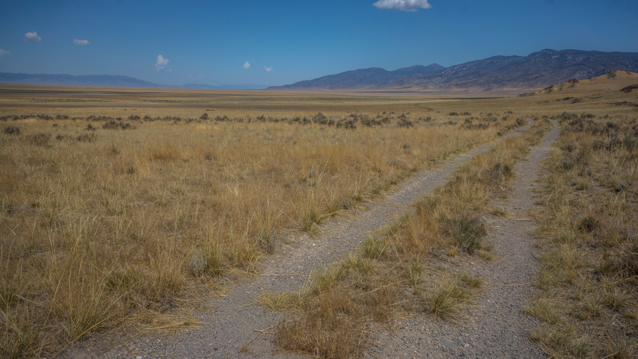
Antelope Valley
I had planned on walking the east side of Whitehorse Mountain, the high point of the extreme southern end of the Goshute Range, which lies just south of US 93 Alt. On the ride here though, it didn’t look all that appealing. He dropped me off right where I got my ride into town, which was closer to the west side of the range. This was shorter, and more scenic. This made more sense, so I walked the west side instead, changing my plans on the fly. I love the flexibility offered when making your own route. I’ll hike where my eyes and my heart takes me, not confined to a trail or even a route I planned from home.
South of Whitehorse Pass
Extreme southern end of the Goshutes
A Sea of Gold!
I was really digging the walk-through Antelope Valley, just as I had before I got my ride into town at the end of the last section. Normally, the start and end points of a section are not that exciting. But here, I actually enjoyed the beginning of this section.
View north, where I’ve come from
Massive views hiking Antelope Valley
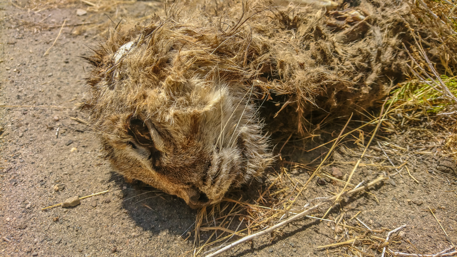
Dead bobcat
I found a dead bobcat along the road. First time I’ve ever seen a bobcat. I’d prefer to see a live one, but this is a start.
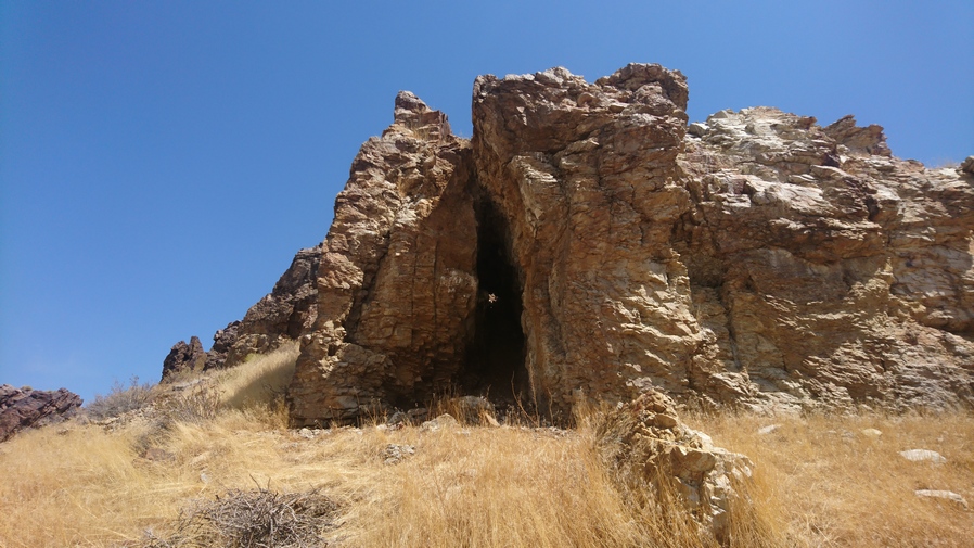
Small cave. Better check it out
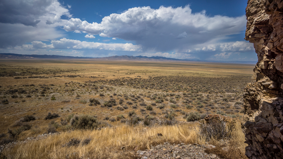
Antelope Valley from small cave
Antelope Valley
Nearly right next to the Bobcat, up the hill was a small cave. This was more of a tall but narrow style cave, and you could see right through the back side of it. through a small opening. Interesting. It sure was a cool view out over the massive Antelope Valley.
First view of the Kinsley Range, center
It didn’t take long to walk around the Whitehorse mountains. A couple of hours. I could see the Kinsley mountains now, and in between the two mountain ranges was a bit of a gravel pit. As I look back to the north, the skies were getting pretty dark. It looks like some rain with falling, and a low Thunder could be heard in the distance.
Clouds approaching
Dark clouds rolling in through Antelope Valley. I am the highest thing around
The north side of the Kinsley mountains looked a bit steep and more rugged than I thought. My plan was to climb up to the Ridgeline here and walk the whole thing. However, dark clouds were building and taking over the sky in my immediate area. I saw bolts of lightning on the Leading Edge of the rain clouds, not that far away from me. Then moments later, a very strong bolt of lightning struck the Ridgeline that I had planned on walking. There was almost no time in between the lightning bolt in the Thunder, which was extremely loud. I’m glad I’m down on the road, but I still feel exposed, being basically the tallest thing around down in this valley.
Hiking towards the Kinsley Range
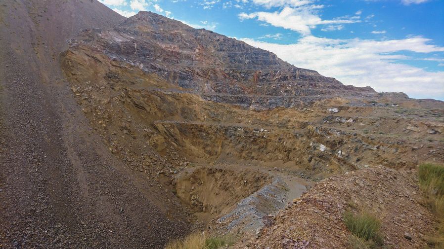
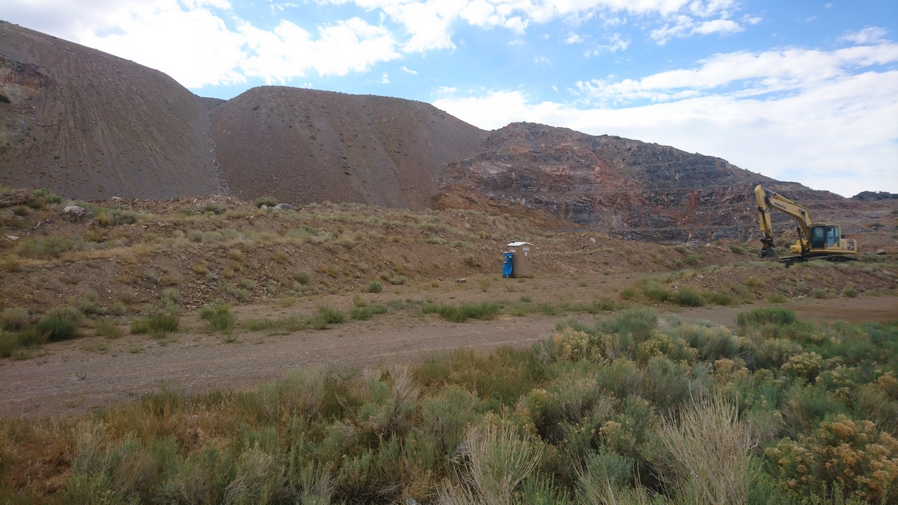
I walked around the East Side of the Kinsley mountains now, hoping the rain and thunderstorms will clear. The Kinsley Mountains aren’t known for much, but right in the center of the mountain range there is a gold mine. It has change hands a few times in the last few years and I was told it was not currently in operation. Good news for me, because I want to walk through it. I have also been told it there is a water source at the gold mine location somewhere, on the east side.
Excellent views across Antelope Valley
When I first saw the tailings from the gold mine, I left the road I was walking and hiked off Trail to the entrance, trying to save time and distance. I saw about seven or eight
ses. Pretty nice view of Antelope Valley now as I gained a little elevation and looked back.
Hiking up a pile of tailings to enter the gold mine
This pit was massive!
I walked up alongside a pile of tailings, instead of taking the main road into the mine. I wish I would have taken the main road, at least then I could have seen if there was a water source. Instead, when I got to the top of the tailings, I reached a road and ended up walking down hill a bit. These are where the large pit mines are, as well as the excavator. I saw an antelope here as well.
At the Kinsley Gold Mine
No Beber? But I must!
Alongside the two large open pits were an excavator and a Porta-Potty. Next to the porta potty was a station to wash your hands. It was a big blue plastic thing. There were soap dispensers and paper towels. There was a foot pedal you could push that would draw water out of the tank and pump it up so that you could wash your hands with it. Written on the station where the words, not for drinking, and in Spanish, no beber. But I have a water filter, and I must beber. I only filtered 1 liter, mainly because I didn’t want to carry more than 4 and my pack was already heavy. Plus the water taste is a bit funky, even though I filtered it. A chemical-type taste.
Nice chunk of Wonderstone. I’ll look for a smaller piece to keep
After I got my water, I continue to head up Hill, to the crest. This became a bit of a confusing network of roads. It’s not too confusing if you just want to follow the main road, but I could see the road I wanted to follow up the hillside to the crest and I couldn’t figure out how to get to it for a while. I kind of wasted a lot of time here. I did find a couple good pieces of Wonder Stone on the ground, though.
The gold mine operations extend to the crest of the Kinsley Range
View east over the Antelope Range. Beyond that, the amps marks this area as “badlands”
View northwest over Kinsley Draw and into Antelope Valley
Crest of the Kinsley Range, view north
Eventually got to my road that leads up to the crest. This road was barely a road, but it was a pretty decent substitute for a trail. It was very slanted into the hillside, not really an angle which you would drive a vehicle across. I followed this road until it ended at the crest of the Kinsley Range. On the other side was an actual hiking trail, and I saw one cairn. Interesting.
View southeast over Antelope Valley from the Kinsley Range
View from the Kinsley Range
The Ridge was pretty pleasant. Not too thick with vegetation, fairly easy to walk actually. I began to head south, towards Antelope Peak. One Small Knob obstructing my view. This was off Trail now, but still easy.
Views from the crest of the Kinsley Range
I found a couple of pretty good campsites along the Ridgeline before you reach Antelope Peak, high point of the Kinsley Range. However, it was only 7:20, and I was confident I could make it up and over given the conditions. So I went for it.
Easy hiking to the summit of Antelope Peak
It was a pretty short ascent up Antelope Peak. There was a Rocky Ridgeline, not quite a knife Edge but close. It was a nice and easy scramble up to the top with no problems. On the summit, there was a Summit register in an old ammo box. This is the first Summit register I’ve seen in Nevada! There were only five other entries in it dating back to 2003. Beautiful views on the summit just as the sun was going down.
Antelope Peak (7,881′), Kinsley Range High Point, Summit view at sunset
The Summit of Antelope Peak (7780) has some flat areas and will make a good place to camp for the night. Camping on a Summit, woohoo! Only problem is, my tent Stakes only go into the ground about 1 inch. So, I had to set really heavy rocks on them. Good thing its not windy tonight.
Day 57 – July 27th: Antelope Peak, Antelope Valley, Antelope Range, Becky Peak Wilderness
Campsite on the summit of Antelope Peak
View north along the crest of the Kinsley Range
Slept great last night. Woke up at 6am on the dot. Nice to wake up on a mountain peak! Thankfully there was no wind last night. There isna’t any one landform here that is stunning, but this area has a simple beauty to it that’s hard to ignore.
View southwest from Kinsley Range
Hiking down off the southern end of the Kinsley Range
View from the southern end of the Kinsleys
Now to work my way down the Ridgeline off of the Kinsley mountains. At first it going was pretty easy. The vegetation wasn’t too thick. There were many times where I crested a small saddle, only to be presented with basically the exact same view. Towards the bottom of the Ridgeline, the going got a little bit tougher. It was a bit more cliffy, and eventually I abandoned the ridge for a side Canyon that had a dirt road. It was a little out of the way, but worth it.
Don’t mind if I do
A tire full of water. It’s New Mexico on the Continental Divide Trail all over again
When I reached the road at the end of the Kinsley mountains, Kinsley spring was there. This was on private land, but there is a public road that goes through it. The sign on the gate says, private property – enter at your own risk. It doesn’t say do not enter, or no trespassing. It said, enter. At your own risk. Permission granted in my book. Kinsley spring was actually pretty decent. It was a large tire filled with water, but the water wasn’t too green or thick with algae. Pretty clear. This one reminded me of my time thru-hiking the CDT in New Mexico.
From here I had a choice to walk through the Antelope mountains or around them. These are more like Hills. Low, wooded Hills, with a dirt road going through. It was about the same distance either way, and looks like only a thousand foot of elevation gain or so, so I went for the Antelope mountains route.
Hiking the Antelope Range. Not much to see here
It was mid-morning now, and I could tell something different was going on with the weather today. The sky was cloudy already, which was unusual. In June, it was just blue skies everyday with no clouds. For the last couple weeks, it would be blue skies in the morning, then white puffy clouds in the afternoon that could form thunderstorms. But today, it was just a random Patchwork of gray clouds.
A herd of wild/feral horses
The Antelope mountains were a pretty boring range. Not any more interesting than it looked from Kinsley spring. Just some run-of-the-mill low Woodland scrub. A couple areas that had been burned by a fire. A couple of nasty Springs, ruined by cows. Saw a herd of about 6 or 7 antelope in a burn area. In one clearing, I saw a herd of about 20 horses and right next to them, a little bit higher on another Hill, a herd of another 15+ horses.
I felt like the first half of the Antelope mountains went by pretty quick, and I didn’t mind them so much. But the second half seems like it dragged on. The climb up to the last saddle seemed slow, and I began to doubt my estimate of 1000 foot elevation gain for this whole range.
Dirt road in the Antelope Range
Dark clouds over the Antelope Range
View into Steptoe Valley as I hike out of the Antelope Range
Once I dropped down the last saddle out of the Antelope mountains, I got a view of Steptoe Valley and the Cherry Creek range. With the storm clouds in the distance and random rays of sunlight shining on the mountains, it was pretty pleasant.
Flat Spring. I should have filled up water here
I checked my phone and I was surprised to see 4G service here once again. The clouds began to clear up and it was mostly sunny overhead. I took a break under a juniper tree for lunch, and this provided a good amount of shade. More storm clouds were moving in, but these looked like they would pass to the north. It was sunny now where I was, and quite hot. There was a spring here, flat spring, that was on the map I had missed this one in my planning and research, and it wasn’t marked as a potential water source. I was surprised to see another big tire here full of crystal clear water. I should have filled up here, but I kept going.
Cress Spring. No thanks
Then I passed Cress spring, another spring that was marked on the map but one that I had not marked as a way point. This one was nasty! A cow shit swamp, I wouldn’t drink this one unless I was about to die.
Hiking a dirt road at the base of the Antelope Range
This one survived
I made pretty good progress through this next section. It was really hot now, and for some reason this motivated me to walk fast. Probably to get to the next water source, which seemed very far away. I didn’t see anything for water ahead until I reach Becky Peak. Passed through a good sized burn area. The burn line stops abruptly on one side of a 4×4 road, leading me to believe it was a controlled burn. Just a guess, I suppose it could also have ended abruptly as the road is a natural break line for the firefighters to protect.
This poor guy had all sorts of issues
While walking the dirt road, I came across a young horse. The mother was nowhere to be found. This guy was walking face-first into a small tree, almost as if you couldn’t see it or as if he was stuck. But I didn’t see anything that was holding him there, he was just constantly trying to walk into it. I cautiously approached, and he didn’t back away. I reached out and touched his back, at first he twitched, but then, he calmed and let me pet him. I wasn’t sure if he needed help or what. His eyes looked pretty red, I wondered if he had an eye injury or if he was just blind or something. Then he started trying to walk under a few branches but was getting stuck. I tried to break the branches, and a combination of him pushing on the branches and me pulling on them did the trick. Success, freed the little guy. I tried to give him some water, by dumping it on his head. But he didn’t get it, I was hoping he would open his mouth and go for the water. Oh well, I didn’t have much to spare anyway. I am pretty sure this guy was going to die soon one way or another.
Beck Peak, northern end of the Schell Creek Range
After passing the horse, I walked to a junction in the road. I went right, heading west now, towards Becky Peak and the Schell Creek range. I was getting pretty tired now, hadn’t had a break in a while and pushed through all that hot weather.
Dark clouds building over the Beck Peak Wilderness
Dark clouds were building again over the Schell Creek range. I checked the weather on my phone and there was quite a bit of activity coming from the south, in waves.
Rain is coming, I can smell it now
I reached an area of private property again, but like earlier in the day, there was a sign that said enter at your own risk. Since this is the shortest and most direct route, also likely has water, that’s the route I’m taking! When I entered the private property, I could see several hundred domestic sheep on the other side of the canyon, and these guys were on the move. I thought for sure I would run into a sheep herder, but I didn’t see anyone.
As I worked my way up Sampson Creek, it began to rain. There was some water flowing down the creek in spots, particularly up stream, but it didn’t look appealing. I kept following an uphill until I reach the source a metal lid propped up by rocks that topped off a tank underground. Water was coming up from this tank and spilling over the top. The Rocks keep the animals away. This was a nice feature, I was able to get my bottle into the tank collect crystal clear water. However, it decided to rain at this moment. It has been 4 hours since I took my last break, and I was almost out of water. I was hungry, thirsty and tired. I really needed this break, especially since the next section has me going uphill to Becky Peak, a big elevation gain.
Hiking along Sampson Creek to Becky Peak
After the break, I finished walking through the segment of private property and entered public land again. I saw more horses and more pronghorn. I saw horses scattered throughout the day actually, too many times to count. At one point while walking the road to Becky Peak, I could hear the clip-clop of horses running. It was getting louder and louder, and eventually they emerged from the trees, running right at me. They were about 10 yards away or so and as soon as they saw me they change course and ran away from me.
Small pond along Sampson Creek. It’s pretty nasty, follow it upstream to its source instead
I began the final ascent up to Becky Peak on a dirt road along Sampson Creek. This looks to be about 1,700 feet elevation gain. There’s a sizeable pond along Sampson Creek at the base of the climb, but I’d follow it uphill to its source if I needed water. But I don’t. As I neared a junction, I decided to stop for the night. The clouds continued to build above Becky Peak and I did not want to be camping high up on the ridge line tonight. So I stopped lower in the canyon than I normally would have. It was only 7:30, early for me.
Storm clouds behind my Tarptent Notch Li. Batten down the hatches, it’s gonna get windy
Set up my tent and got a few time-lapses going of the sunset and building clouds behind my tent and Becky Peak. Then it started to rain. It was quite windy at times, but largely my fault cuz I set up the tent in a manner that catches the wind. I continued to hear rainfall on my tent for a few hours tonight as I tried to sleep.
Day 58 – July 28th: Becky Peak, Becky Peak Wilderness, Schell Creek Range
Looking back at the 4×4 road up Sampson Creek to the Becky Peak Wilderness
I started the morning off with a climb up to camp spring. It was another couple hundred ft from my campsite. At the top of the climb was a sign welcoming you to the Becky Peak Wilderness. It lists Becky peek at 9859 ft but my map says 10002ft. That is quite a large discrepancy. I wonder which is right. I prefer the version that is 10k!
Camp Spring view
I’ll filter from the other trough
Shortly after I came across camp spring. There were two troughs, one of them was overflowing and feeding a pond. The pond was held back by sandbags and rocks, and then flow downhill. One of the troughs had two dead Chipmunks in it. Better filter from the other one. Otherwise, the water looked crystal clear.
Rigged up a string to the top of the platy bag, and now I have a gravity feed system
My sawyer filter has been filtering pretty slow. I’ve back flushed it, and its still slow. The whole process of filtering water takes a long time now. Also, when I filter a liter of water, I want to chug a liter while I’m filtering more water. So I finally made a bit of a gravity system. The bottom of the platypus bag has a couple of guides for cutouts, so I poked a hole in these with my knife and used my spare guy line to run a string through the holes that I just punctured, and tied a series of knots behind it. Now I can hang this from a tree or post, and let it filter while I do other things, like drink the previous liter of water I just filtered, or wash my socks.
The approach to Becky Peak
Next I climbed up the northeast side of the Ridgeline leaving to Becky Peak. It looks deep from far away, and when I got right up close to it, it still look pretty steep. Steep, but very manageable. It was mostly loose dirt and rock, but not loose enough to where it was a one step forward two steps back kind of deal.
While working my way up the Mountain, I came across my second rattlesnake of the trip. Much like the last one, it was hiding under a rock in the shade on a slope below a Summit, near 10k feet. I was probably 7 or 8 feet away when I heard his rattle. Thankfully they give a warning.
View north along the Schell Creek Range on the climb to the summit of Beaky Peak
As I neared the summit, I could hear the sheep dogs and the sheep, and see two trucks in the valley far below. Just below the Summit of Becky Peak, there was a mangled pile of metal. It was pretty obvious what it was, as I had seen these before… Basically a weather station. At least, it collects rainwater. I had seen one of these in Soldier Creek in the Rubies, and elsewhere. I believe it was USGS. This one was laying on the ground, with the top instrumentation part separate from the post.
Becky Peak summit view, south
View west across Steptoe Valley, to the Cherry Creek Range
View east to Antelope Valley and the Antelope Range
The Summit of Becky Peak was pretty nice. Great view of the Cherry Creek range across Steptoe Valley. On the other side, the Antelope range continues south, and remains unimpressive. There was a Summit register on this peak as well. There was no more paper to be signed, so I added a small piece from my junk drawer bag. There were 13 summits in the past 2 years, and one of them was last week! I was not expecting that.
Becky Peak ridgeline view south
Schell Creek Range
Next I continue South long the crest of the Schell Creek Range, through the Becky Peak Wilderness. I thought the best views of the Becky Peak area where here, descending the summit and hiking south along the ridge. Pretty easy-going at first. A good mix of horse trails and overall easy terrain. I enjoyed massive sweeping views of the Schell Creek range to the South. Also, I think I can see Wheel Peak in Great Basin National Park now, far off in the distance. That’s basically my end point for this hike, so that’s a significant landmark for me.
Route down from Becky Peak
After following horse trails around a high point, it was time to head down a Ridgeline. This was more of the slow off-trail stuff I was used to. It took a while getting to the Ridgeline, having to side Hill my way there. Once on the Ridgeline itself, it was a mixture of small rocks, the kind packed into the dirt, and small trees. Fortunately not too bad of a Bushwhack.
Need to hike through this stuff…
Made it down to a saddle separating the Ridgeline I came down and another tall peak, another 800 or 1000 foot climb or so. I really didn’t want to climb up that peak, so I took horse trails around the mountain side instead. In this case, I probably should have just gone up and over. There was a lot of Sagebrush to walk through, and the horse trails were intermittent at times. In following the horse trails around the Mountainside, I had to still go up over a small pass. This one was heavily wooded when I got to the other side. It looks like the best way forward was to Contour around the hillside to Dolan Trap spring.
Off Trail hiking to link up with road at Dolan Trap Spring
The off-trail hiking along the steep hillside proved to be quite a pain in the ass. The ground beneath my feet was very loose… Loose dirt, loose rocks on fairly steep terrain. I fell a couple of times. I worked my way around the mountain at this elevation for a while, before reaching a Ridgeline that suffered a forest fire. I continued to contour around the mountain through the burn area over to the spring.
Break spot at Dolan Trap Spring (dry)
Dolan Trap spring was dry, as my notes said it would be. But there were two large pipes or tanks here, and they provided shade. This will be my lunch spot.
I’ll be shooting for the pass on the right
Hiking up and over this unnamed pass
After lunch I headed uphill a couple hundred feet to another pass. I was on an old dirt road now, even though I’m in the wilderness, old Roads sometimes still exist. This one was being reclaimed back to Nature. I followed the road down from the pass into a valley, and then up Dry Canyon towards another pass. This one would be another thousand or 1200 ft elevation gain.
Views south from unnamed pass. North Lovell Peak on the left
At the top of this pass were some pretty great views. Looking South I could see North Lovell Peak and “The Nipple”.
Steptoe Valley and the Cherry Creek Range
Steptoe Valley Panorama
Steptoe Valley view from Schell Creek Range
There was a short section of side-hilling, and following horse paths, before I could reach back up with another road on a ridge. Pretty great views all around here in every direction. Very enjoyable walk.
View south to my route
This route drops lower into the valley and swings buy a couple of springs on the map, but takes me slightly out of the way from where I need to go. I reached the first spring, which was dry. My route had me going off Trail, side hilling through a bunch of Sagebrush. No thanks! I’m done with that, if I can avoid it. Instead, I followed the road downhill about a mile and losing about 400 ft, and then another mile and 400 ft uphill around a big Knoll. Probably roughly the same amount of time and definitely worth avoiding the hassle of the off-trail traverse.
Hiking up to the saddle below north Lovell Peak
Cooley Cabin
Take a quick snack break under the shade of a tree, one of few trees around. Continued uphill through the canyon that will lead me over the pass, just below the nipple. Good views, pretty wide open. The other reaches of this Canyon had water, just below Cooley cabin. I stopped here to filter a couple liters of water, cool off and wash some of my clothes.
View north, the where I’ve come from
View from the pass
It was another couple hundred feet uphill to reach the pass after my water break. At the top of the pass, I was surprised at the quality of the views. There were some limestone rock formations at the top of the pass that were nice, but more than that, looking further to the south the rock formations along the Ridgeline with Lovell Peak where excellent. Reminded me of the Goshute mountains, and the Egans.
Descending into McMaughn Canyon
Awesome limestone cliffs in upper McMaughn Canyon
With the big climb of the day done, the sun below the rest of the ridge, it was an enjoyable walk the rest of the evening down McMaughn Canyon. The limestone cliffs along the eastern side of McMaughn Canyon where very appealing, and I wished I could hike closer to them for a better view.
They were a couple of decent places to camp in the upper reaches of the canyon, but as I got lower, it was just low Sagebrush. It was getting dark and I was looking for a spot. My map had a spot called McIntosh Place marked. Apparently, this was an Old Homestead. This was overgrown and did not provide a suitable campsite either. Fortunately, just down the road I found an open spot alongside the road, a few feet away, just a clearing in the dirt. Works for me!
Day 59 – July 29th: Schellbourne Pass, Schell Creek Range, Ranger Trail
I slept for about an hour last night before I heard an animal about 20 ft away. I turned on my headlamp and saw something scurrying away from a tree, about the size of a raccoon. Not really sure what it was. I didn’t really sleep that well after that. A couple hours later, I heard some horses walking down the road that I was camped alongside.
CR-18, road to Schellbourne Pass
From my campsite, I was less than a mile from CR-18, a paved road that cuts through the Schell Creek Range and goes over Schellbourne Pass. From there I made my way down to the road that I had planned on Crossing through Shellbourne Ranch on. Unfortunately, this was a private Ranch entryway with a sign that said keep out. I was in a good mood until I saw this. There’s public land on the other side, but no way to access it due to this Ranch.
So now I need to figure out another way to get into the mountains from here. The only thing I could come up with was a walk up and over Shellbourne pass to another road that was about four or five miles out of the way. No choice, so I started walking uphill.
Route up to Basin Spring
Basin Spring. Lots of horse activity here
It was a few miles of road walking to go over Shellbourne Pass and reach an old 4×4 road leading up into the mountains. I started walking up the road, and made it to Basin spring, where I stopped to filter water. This was a clearing with a spring tickling downhill, the grass all trampled by horses. The water looked pretty gross. I had no way to collect from the source. Instead, I went slightly downhill, where the water was flowing out of a stagnant pond. I was able to fill up my water bottle from the water flowing off of a 10 inch waterfall. It looks clear, and my water filter will take care of the rest.
I’ll shoot for the saddle in the center to gain the crest of the Schell Creek Range again
Back up on the crest again, south of Schellbourne Pass
Crest of the Schell Creek Range
Now I had to climb a steep 4×4 Road up to the crest of the Schell Creek range. I was really sweating and working to make my way up this one. I thought I was at the top, but it was a false Summit. So, more climbing to go. Finally at the top, I took a break in a patch of trees. The shade felt great, and I ate lunch.
Massive views over Steptoe Valley. The Cherry Creek Range has ended, and now, the Egan Range runs parallel to the Schell Creek Range to the west
Schell Creek ridgeline
The trail drops a bit to a saddle, then climbs up higher once again. I could tell today was going to be a lot of work. Although there might be a lot of climbing, at least it’s easy hiking, for the most part.
Single track trail
View north along the ridgeline, where I’ve come from
Hiking the east side of the crest now
While hiking up the next pass, the 4×4 road I was on turned into a single track trail. Nice! I followed this uphill and dropped down into the next Valley. Here, I saw several rock cairns too. Excellent Trail, well maintained.
Excellent section of hiking on an actual hiking trail
Antelope Valley panorama. Becky Peak left, Antelope Range right
Views south along the ridgeline
The trail skirts the hillside now for a mile or two, avoiding climbing up and over another high point. Sounds good to me! The trail stays on the East Side of the Range and provided excellent views… I could see North to Becky Peak, and south to what was likely the snake range, Mount Moriah. I could see where the Antelope range ends, as well as Spring valley.
The trail passes by a spring now, this one was a nice surprise because I hadn’t had it marked on my map. Water was flowing out of a pipe, easy to collect from. I didn’t need any water at this time, not to filter anyways. So I filled up my water bottle and dumped it over my head. This felt great!
The trail goes through that heavily forested mountainside next
Schell Creek Ridgeline and Antelope Valley
Good trail remains along the ridgeline
Next the trail passes through a heavily wooded Hillside. This was a real pain in the ass section, because the trail seemed like it kept climbing forever. Steep trail, too.
Hiking the ridgeline on good trail
Steptoe Valley
Excellent hiking, great views over Steptoe Valley
Next the Trail emerges on a high open Ridgeline. Moving on, the trail drops down significantly in elevation. Excellent views. About 100 ft down the hill below the road was an old truck, which lay in ruins. Apparently the truck drove off the road and rolled down hill.
Outcrops of limestone along the Schell Creek Range mountainside
I enjoyed good views of increasingly more impressive limestone cliffs along the crest of the Schell Creek Range, now visible as I see it from a new angle.
The heat is getting to me today
I reached a point where the trail was supposed to skirt the hillside, but there was no trail or road. Instead, it dropped down another 400 ft or so. Then it was another thousand foot climb. It was probably 4:30pm now, and I was in direct sunlight. This was perhaps the hardest part of the day for me, and if I am honest, one of the lowest points I can remember on the whole Basin and range trail. I felt completely overwhelmed, being so extremely tired, exhausted and hot, and having so much further to go. With my pack on I sat down on the Steep 4×4 Road and debated what to do. I looked at my map, considering heading down hill and looking for alternate routes to avoid all this climbing. But there really weren’t any good routes, and somehow I mustered the strength to keep going. It helped that the sun went behind a cloud for a solid 20 minutes, while a slight breeze was in the air.
Hiking towards Ruby Creek
After this pass, the trail goes up on another Ridgeline. From here the trail drops down to Ruby Creek, my next water source.
Ruby Creek
Down at Ruby Creek, I found a very small trickle of a stream, and had to hunt for a spot to collect from. There was a lot of green alongside a Dry Creek bed, and I went up stream until I found a willow Thicket that produced water. Then, I had to get my trowel and dig out a pool to collect from. Fortunately there was shade here, so I was able to sit and relax while the pool filled and the murky water dissipated.
Cabin near Ruby Mine
Roof leak? Try rocks and dirt.
Then the trail climbs uphill again for another 800 ft. It passes Ruby mine, which had two old cabins. I saw no rubies, and no interesting rocks. I don’t poke around all that long, either. I saw 4 deer around here, though.
The Ranger Trail
The Ranger Trail snakes its way across the crest of the Schell Creek Range
After this, there was a series of random Ridge lines, but the trail more less stays at an even elevation with climbs no more than 200 ft, and well graded. There was even a couple of signs that marked the ranger Trail along the road. From this point on, the evening was really nice.
View south to the High Schells Wilderness
Sunset in the Schell Creek Range
Full moon behind Schell Creek Ridgeline
The sun had gone down behind the ridge, the temperature had cooled, and the lighting was just magical. Some really excellent hiking here. Beautiful views, Jagged Peaks to the South. All I could think about was how awesome this hiking was, and how much work I had to put in to just be able to have one hour of nice hiking in a day. 12 hours of extremely hot hiking, lots of climbing and filled with bugs… All for one hour of good hiking. And somehow, its worth it in the end.
Brilliant sunset this evening
It was around 8pm and I was looking for a campsite. I got really lucky and found a nice open field along the road with many places to camp, and a small stream about 50 yards away. For once, a good campsite that didn’t require a lot of work, at the right time. I was really thankful for this tonight.
Day 60 – July 30th: Schell Creek Range, Duck Creek Valley, Cave Lake State Park Fishing, Timber Creek CG
Heard something walking pretty close to camp last night, sounded like horses. Yelled out at them, and like always, nothing happened of it.
The Ranger Trail above Fitzhugh Creek
Hiking the Ranger Trail south
The views started out pretty good today, the Jagged Ridge towering above the ranger trail makes sure of that. Passed By a small spring, a trickle of water flowing through a patch of Aspen trees. Past another spring father up the trail, at least I believe it was a spring, as it was green and there were cows standing around it. Saw some sort of weather station in a field. This one was definitely functional and intact.
View west to Steptoe Valley and the Egan Range
At the beginning of the big climb of the day, while I was walking uphill, I saw a guy coming down hill. And he had two dogs. I waved, and said good morning. He said hi back, in a thick Spanish accent. Around the same time, I first started hearing sheep, and I realized he was a sheep herder. Sure enough, I saw his horse right up the hill, and down into the next Valley, a couple hundred sheep. Bah. Bahhh!
Pretty nice views going up this pass. This would be the last good views of the day, at least from a high Point. On the other side, my enemy… poof dirt. The trail dips down into a large Aspen tree patch. I could see the sheep herders camp in the woods, an old school looking canvas tent, coolers, bails of hay for his horse.
Trail disappears descending into North Creek. The High Schells Wilderness looms on the horizon now
Next I went up over a very small saddle. On the other side, the trail was pretty faint. It drops down into North Creek. I lost the trail for a little bit, and feared a terrible bush whack down this steep Canyon. Eventually I picked up on the trail again, thankfully. It led me to a small wooded area with a creek flowing through it. Perfect, shade trees and some good water to drink. Break time.
Brief bushwhack to find the Ranger Trail again
The trail was thick and overgrown sometimes, but it eventually led me to a road. It’s funny how I feel about roads now, having done so much bushwhacking. I don’t mind them as much now, at least, in short increments.
It was really hot now, but a decently enjoyable experience walking down the canyon. It must have experienced a recent burn, I can still smell it in the air and see all of the burnt Sagebrush. With the valley opening up now, and a view to the south of the Schell Creek range, I debated my options. The plan was to follow the Ranger trail along the hillside to bird Campground. But last night I decided after looking at maps that I could actually follow the Ranger trail to timber creek Campground, which meant I could stay off the high Ridgeline before North Schell peak for longer. But now that I could see the next few miles of my route, which appear to skirt the hillside of the high shells, it didn’t look too appealing. It kind of reminded me of the Lamoille Canyon to Soldier Creek hike in the Rubies. Is it worth the effort? I also considered walking around the entire Ranger Trail completely by going through Duck Valley, which would mean a road walk. This probably would be faster, and certainly less elevation gain, and didn’t look like I would be missing too much on the scenery front. Certainly more miles, though. So I was considering this.
Saw a guy and his wife on a side-by-side, a two-person vehicle. They were going uphill as I was coming down. After passing them, I realized I was supposed to make a turn where they did to stay on the ranger trail. I didn’t really feel like going back up hill. So this made my decision easy, I’m taking the low route through Duck Creek Valley to Timber Creek Campground. Timber Creek is the preferred way to access North Schell peak.
Duck Creek Valley view of Schell Creek Ridgeline
Walked down a pretty uneventful Canyon along North Creek, until reaching a residential area. Eventually reached the main Highway running North and south through Duck Creek Valley. I believe this was Highway 486. This was a paved Road. 10 vehicles drove by in the opposite direction, only 1 the way I want to go.
Finally, a jeep driving the opposite direction stopped even though I didn’t have my thumb out. They asked if I need a ride, I said yeah but the way you just came from, to timber creek campground. They said that’s where they were camped. They said sure we’ll give you a ride there. Then they said, were on our way to go fishing, you want to join? I said sure!
Dave the Gold Miner
Introductions, Dave and Donna from Cali. Dave is out here to do some gold mining. Waiting to hear from a friend on a location to do some dredging. So, he’s just exploring in the mean time.
So, in a matter of moments, I go from hiking to the timber creek campground to on the way to a small lake to go fishing. How random is that? We drove into Ely, bought worms. I bought a huge box of chicken and fries from the gas station. Hungry! Lady at the gas station had never fished Bassett lake, where we were going. She suggested cave lake instead (where I was ultimately planning to end this section at). So that’s where we headed.
Cave Lake
My new pal Dave
Getting my line wet. Had a few bites, but no takers
Cave Lake was beautiful. Water levels were low, like everything out here. Nice water color, a vibrant turquoise blue. Dave had some tiny fishing poles, like for ice fishing. They felt like kids equipment. I used a gold kastmaster, had some follows and bites but didn’t catch anything.
Sat under a tree on a picnic table in the shade. We discussed rocks, mining and treasure. Dave said he was going to pan/dredge/high bank for gold tomorrow and I was welcome to join. Always wanted to look for gold, with someone who knows what they are doing. I’m in!
Drove back through Ely and hit the gas station for beer, ice, supplies, then drove back to the campground. Sat around camp and listened to music on Bluetooth speaker.
Dave had a generator, which powered a small TV ,and we watched some horrible old van Damme movie, Black eagle. Wow. It was after dark and he had the generator running, and the TV up pretty loud. It was clear he lacked the proper camping etiquette, but I didn’t want to be the one to scold him.
After I went to bed he watched another movie, and had the generator running. He had some sort of bright light on throughout the night. I just put in my earplugs and zonked.
Day 61 – July 31st: Timber Creek Campground, Zero Day in Ely, NV
Got up after 8am. Dave and Donna were already up, tending to the fire pit. I could hear it crackle from my tent. They made corned beef hash for breakfast, cooked on a pan over the fire.
After breakfast we started to load up the Jeep with the mining equipment he thought we would need for today. The plan was to take samples from several different Creek beds and see what we found. Then concentrate on any Creek that showed promise. The Jeep was so filled with garbage, but they refused to clean it out. I was trying to be helpful, every time I grabbed something to throw out, he would say, oh we need that, there’s an email address or a password written on it. And sure enough, there was. But there was lots of other things that could be thrown out, instead, we had to squeeze in between tools, equipment, cooler, and garbage.
We left the campground and started driving down the dirt road back towards the main Highway in Duck Creek Valley. On the way out, we past the pay station where one pays the nightly fee. Dave noticed that it said fee station, and said, oh, we were supposed to pay for this campground? I found it a little hard to believe that he was camped here for several days and had not noticed this already, let alone on the first day. None-the-less, he balked at the 35 per night fee for the double campsite he had occupied. In his defense, this was really steep, especially compared to the $8 a night for a single site. So now, Dave and Donna decided that the best course of action was to head back to the campsite, pack everything up, and leave. So, back to the campsite we went.
We packed everything up quickly and This of course made the Jeep and the trailer even more jam-packed. Dave figured that he could just camp for free on National Forest land, which is true. So that was his plan now. I should have just parted ways with him here, while I was still at Timber Creek, so I could do the North Schell to South Schell Peak Traverse and finish this section as planned, but I was still enticed by the Prospect of gold mining.
Now we drove into Ely so Dave could buy a gold detector from the sports store. Donna and I waited outside while he went in and tried to purchase it. However, his debit card was declined. So he came back outside and spent a good while on the phone with Bank of America trying to straighten it out. The only thing is, Dave is not very tech savvy. He is 55 and Donna is 60, and they are both pot heads to boot. His bank tried to send him an email, and he was having serious trouble retrieving it on his phone. To complicate the matter, he bought like 4 new phones, and was never really sure which one he was using. In the end, the lady on the phone verified his identity in some other way. For whatever reason, the transaction still did not go through.
Now Dave was trying to find a Bank of America Branch location to physically drive to. The lady on the phone told him there was one that was 100 miles away. I looked on Google Maps, and could not find anything closer than Vegas, 4 hours away. Dave never bothered to ask which town the Bank of America was in, but now he was set on driving 100 miles to a Bank of America branch to try and pull out money, to then come back and buy the gold detector. It was already 1pm At this point the day was shot from my perspective. Since they are not going back to the Timber Creek Campground, where I would need to go to continue my hike, and I am already in Ely, where I am looking to end my hike, it just made sense to have him drop me off at a motel while I was here.
Of course I was disappointed that I could not do the Schell Creek Ridgeline Traverse, but at the same time, I’m more concerned about the logistics of ending the route next week at Great Basin National Park. I had sent my bounce box to the post office in Baker, which is only open Monday through Friday and they close at 3pm. So if I get there on the weekend, I would have to wait until Monday to get my box. This normally wouldn’t be too much of a problem, but I am also trying to set up a ride out of Baker to a major city where I could catch a plane home. Marlene, who I met in the Rubies and lives in Reno, offered to drive 5 hours each way to Great Basin National Park and pick me up. Finishing by Friday at 3pm would be best for her schedule, so that’s my new goal. Getting dropped off in Ely now almost ensures that I will Make that goal. Had I not done that, that timeline wouldn’t have worked.
So, Dave dropped me off at the Motel 6, where I stayed before I started the hike. While checking in, I asked Raj, the owner or manager, if he knew of anyone that could drive me out to the middle of nowhere so I can start the 10th and final section of the Basin and Range Trail. There was no taxi service in town, Uber or anything. To my surprise, he immediately had someone in mind. He gave me Terri’s number, whom works here as well. Great!
First thing I did was order an extra large meat lovers Pizza from Hometown Pizza, with a 2 liter of Coke, delivered. I took a shower in the meantime, and then Pigged out. Gotta feed the hiker hunger.
Didn’t really accomplish much the rest of the day. Typical stuff, wash some clothes, charge batteries and made some phone calls. Called Dad and had him send a box to Baker containing a laundry bag that I used to protect my backpack when I check it at the airport, my small Osprey backpack that I use for my carry-on so I can put my camera gear in it, as well as a pair of clothes to wear. I called Terri in the evening and left a message. She got back to me later in the evening by text and we began to discuss plans to take me out to my starting point for the next Section.
Day 62 – August 1st (Zero day)
I Started looking at the next section and made some route modifications. I had planned on walking the Ridgeline south of Mount Moriah, but that would have meant a crappy bushwhack down into Hendry’s Creek. So I modified the route to Make a base camp below Mount Moriah and then Summit it, then come back the way I came and down into Henry’s Creek. This will still be faster. Also, the route going up to Wheeler Peak did not look realistic. I checked the satellite view and it was up a couple thousand feet through trees. No way! So, I created another alternate route that goes around the east side of Great Basin National Park, up a different Creek than I had planned, up to the Ridgeline by Mount Washington, cutting off Mount Lincoln, and making my way over to Wheeler Peak. This would save the best for last, and also allow for a hike down to Stella Lake. But, I’ll walk though the town of Baker once on my way into Great Basin, forming a little loop as I return to Baker to complete the Basin and Range Trail.
Also, I had to figure out where I wanted Terri to drop me off. The original plan was Cave Lake State Park, but that would mean going up in over the Schell Creek range, which I’ve already pretty much written off at this point. That would also mean a walk across Spring Valley, in 101 degree heat. So, I made the decision to knock off another 25 miles and have her drop me off at the entrance of Deerhead Canyon, along negro Creek, below Mount Moriah.
Watch my Basin and Range Trail Movie on Amazon Prime
"His breathing is measured as he narrates his journey, describing the personal allure of the great outdoors, the difference between mere hobby and real passion. He discourses on his own mortality, about getting too old to have such adventures, and striking your own path in life while you still can." - John Glionna, Las Vegas Review-Journal article on the Basin and Range Trail
Watch Pioneering Nevada's Basin and Range Trail on other Streaming Services: Tubi, Xumo, Telus and Filmocracy
Like what you see? Patreon is a service that allows you to provide monthly financial support to your favorite content creators. For your monthly pledge, at various tier levels starting at $5, you receive perks and benefits in return. For example, early access to youtube videos, stickers, t-shirt, behind the scenes info on my new thru hiking route creations, special thank you card and more! Your monthly pledge helps me bring you more quality hiking and outdoor adventure videos, trail guides and content. Thanks for your support... you ROCK!😊
Archives
DIY Van Build
Check out my AWESOME DIY stealth camper van build project!