Eagles Nest Wilderness (Gore Mountains), CO – 4 Day, 25 Mile Hike July 2017
Eagles Nest Wilderness, CO – Gore Mountains 4 Day Backpacking Trip July 2017
View All Eagles Nest Wilderness Photos | Watch the Eagles Nest Wilderness Hike Video On Youtube
- Park Administration – US Forest Service – White River National Forest
- Fees & Permits – No fees to access the Eagles Nest Wilderness. Register at trailhead (although I didn’t see where!)
- Trailhead – Gore Creek Trailhead
- Length Of Time Hiked – 4 days, 3 nights
- Miles Hiked – 25
- Route Difficulty – 7.5
- Fires Allowed – Yes
- Scenic Beauty – 9
- Solitude – 7, less within 4-5 miles of trailhead
Eagles Nest Wilderness Pre-Hike Planning Notes
Gore Mountains Weather Forecast
– https://www.mountain-forecast.com/peaks/Buffalo-Mountain/forecasts/3894
Gore Mountains Road & Trail Condition Reports
– https://www.fs.usda.gov/Internet/FSE_DOCUMENTS/fseprd542981.pdf
The Eagles Nest Wilderness is a 133,496 acre tract of land located within the White River National Forest. The Gore Mountains are the backbone of this wilderness area. It’s right off I-70, giving you the impression that it’s going to be a popular, well known hiking destination, but it’s not. Apparently, this area doesn’t get much use in comparison to other Colorado backpacking hotspots. One reason for this is the fact that there are no 14ers in the Gore Mountains. Don’t let the lack of notoriety fool you, as the Gore Mountains are definitely a hidden gem.
The first thing you need to realize about hiking the Gore Mountains is that it’s a rugged place with a lot of steep terrain. Because of this, many of the valleys are “dead ends” for the average hiker, and some are completely unpassable by all except the most skilled climbers. Stringing together a long hiking route that stays high is pretty difficult here. To make long loops, you either have to be OK with spending a lot of time in the lower valleys or be a really good climber.
Access to the Eagles Nest Wilderness is said to be easier on the west side near Vail. See this map for trailhead locations in the Eagles Nest Wilderness. I parked at the Gore Creek trailhead, 2.3 miles east of Exit #180 off I-70 on Bighorn Road. This road to this trailhead is completely paved, so you can access it in any vehicle. Watch out for all the bikers on the road, there’s a tons of ’em here. Coloradans are probably used to seeing this many cyclists, but here in southeast Michigan the only people riding bicycles on the road are doing so because they have a DUI! The Gore Creek trailhead was pretty packed but many of them were bikers, not hikers.
Nearby towns of Vail, Silverthorne and Frisco should have everything you need for last minute stops. Also note that you can get a shower after your hike for $5 at the Silverthorne Rec Center if needed. The address for the Silverthorne Rec Center is 430 Rainbow Dr, Silverthorne, CO 80498.
Eagles Nest Wilderness Backpacking Maps
[sgpx gpx=”/wp-content/uploads/gpx/EaglesNestWilderenssJuly2017.gpx”]Download GPX file of this hike
Here’s my caltopo map of the route I hiked:
Day 1 – Saturday July 8th, 2017
Miles Hiked – 6.54
Elevation Gain – 3058′
Route Hiked – Gore Creek Trailhead to Gore Lake
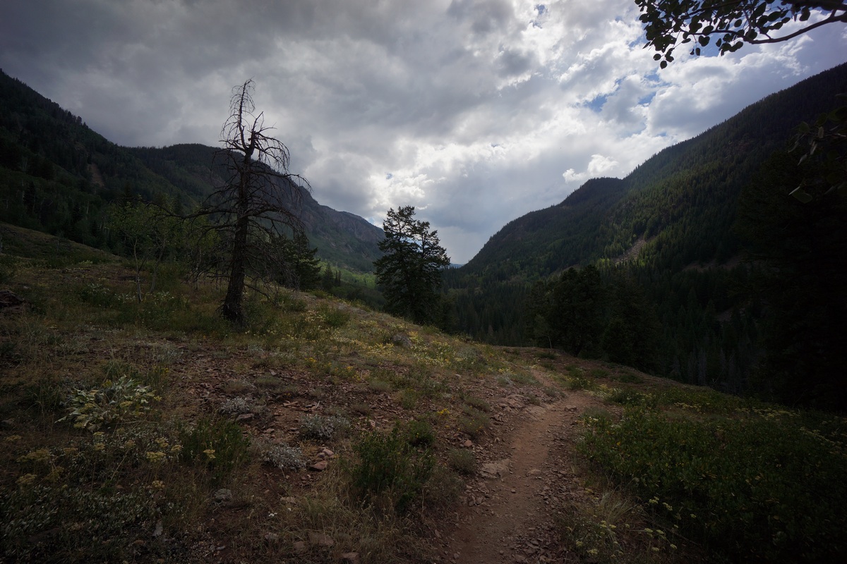
I started my hike at the Gore Creek trailhead (8688′ elevation) around 10:15 am, just in time for a few clouds to start brewing. The trail immediately begins to climb after leaving the trailhead. The trail itself is pretty well maintained here. There’s a sign marking the entry to the Eagles Nest Wilderness after about 1 mile. Once you pass the sign, the trail goes over the top of a small hill where you lose sight of I-70. The sound from the road is also gone, and replaced with that of Gore Creek. The trail winds through a few patches of aspens before the evergreens become the dominate tree with increased elevation.
The crowds of people started to thin out about two miles from the trailhead. Most of the people on the trail were older folks, and seemed to be locals coming out to get a few miles in for exercise. I stopped along a slow bend in Gore Creek after an hour to eat a little food. I didn’t see any fish, but it looked like there would be potential if one were to walk the bank looking for deeper holes.
There were few sweeping views of the valley, and the trail only occasionally swings alongside Gore Creek. The trail maintains a pretty manageable incline much of the way to the intersection with Gore Lake trail, with occasional steeper bursts. I passed a guy who said he’d just seen a large bear at the intersection, which I arrived at about 10 minutes later. No bear, fine with me.
At the intersection of Gore Creek trail & Gore Lake trail, the elevation is 10,180′. AT this point, the elevation gain is roughly 1800′ (with the ups and downs of the trail) over 4.15 miles. Now on the Gore Creek trail, I’ll climb 600’+ in about a half mile. There’s a little view of the valley below after gaining a little elevation. The trail then overlooks a creek, although don’t believe it’s the main creek flowing out of Gore Lake. I saw my first patch of snow around 10,700′.
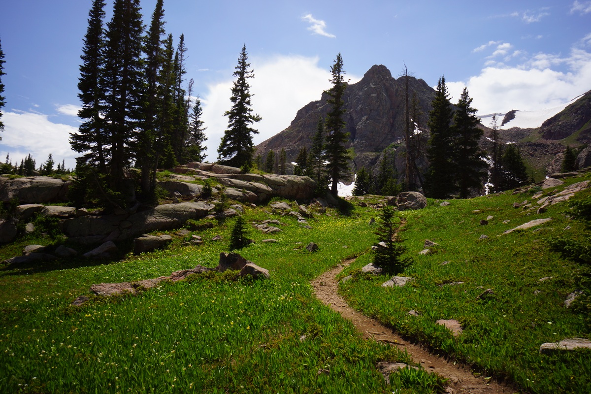
At the top of the 600′ push I was rewarded with a nice meadow. It was flat, open and green, the first of the hike. It sprinkled a little now, but not heavy enough to be a bother. The views were definitely improving now. In the meadow, jagged peaks and snow capped mountain sides loom in the distance. There were some small patches of colorful flowers here and there, still a ways off from peak bloom though.
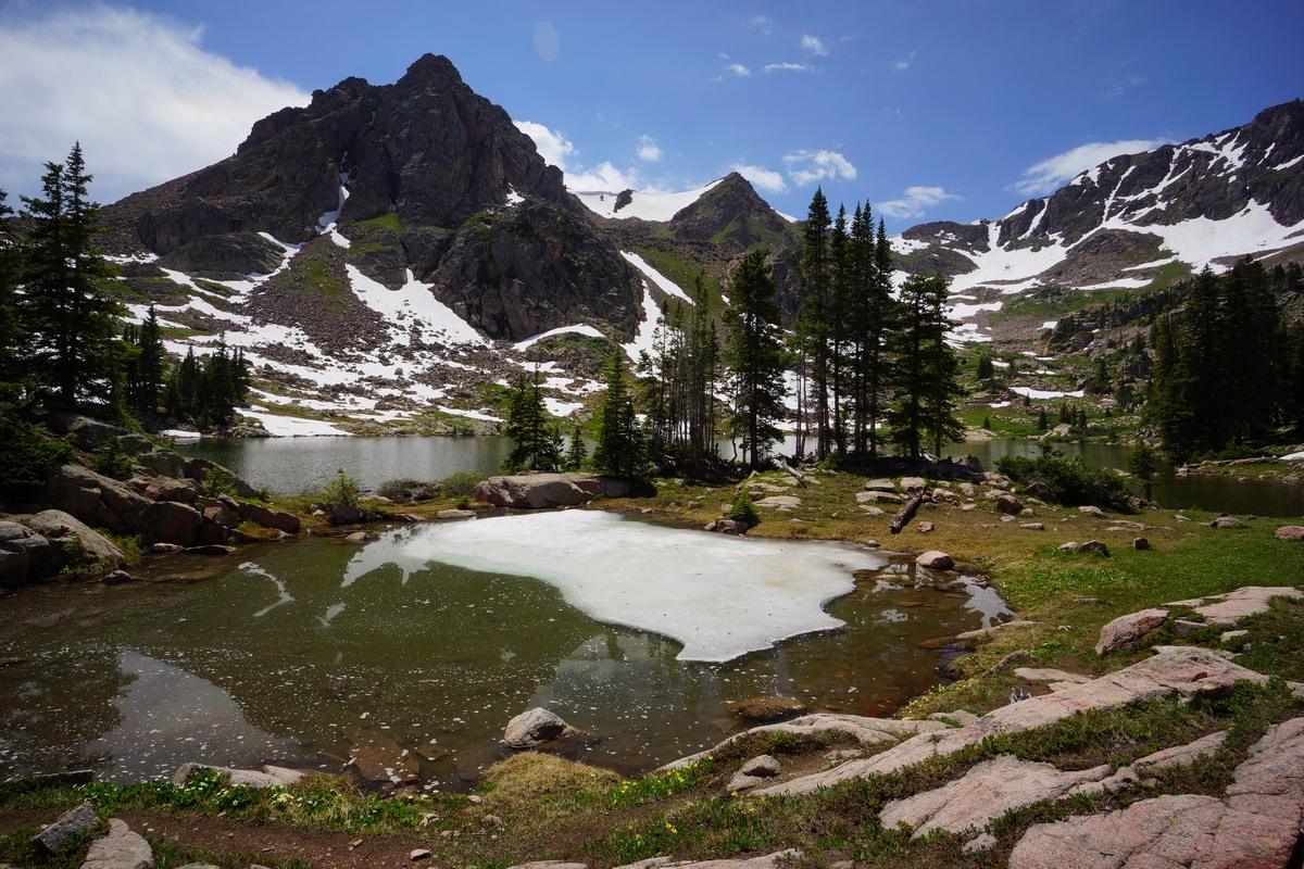
After passing through the meadow, the trail then climbs another 500′ in .6 mile along the final stretch to Gore Lake. I enjoyed the final approach to the lake, where your view of a nearby peak is hidden and then revealed as you crest the top of the final slope. A somewhat “dramatic” way to arrive at such a beautiful lake!


