Leadore to Darby – CDT Thru Hike 2018
Continental Divide Trail – Leadore to Darby Hike Overview
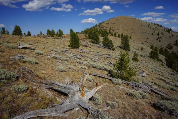
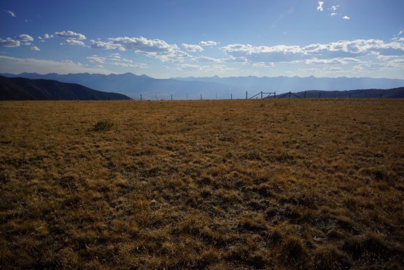
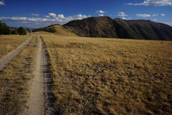
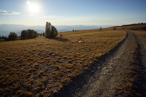
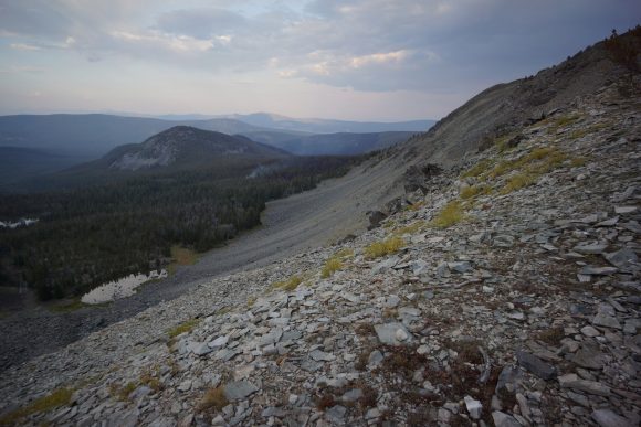
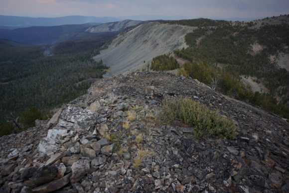
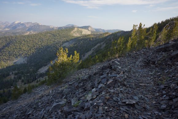
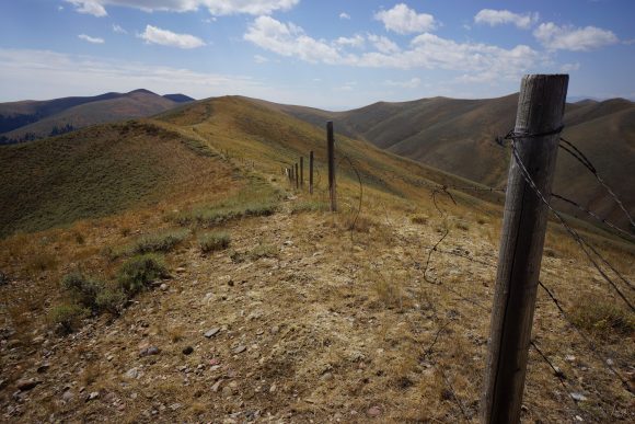
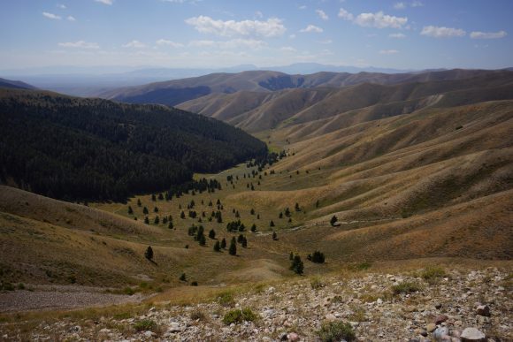
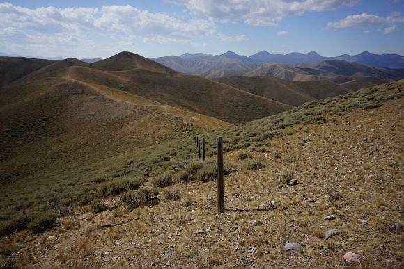
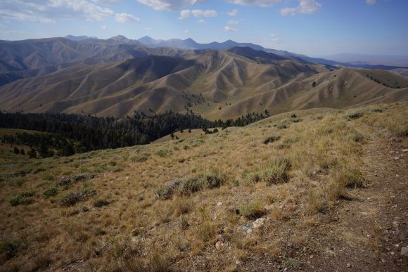
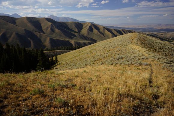
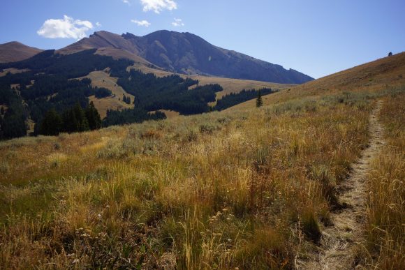
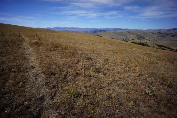
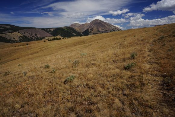
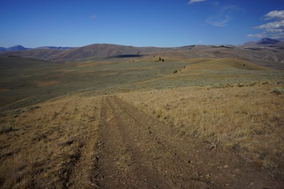
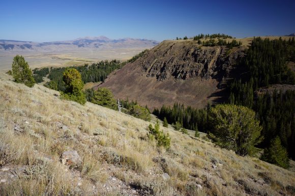
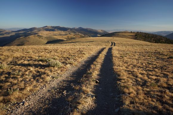
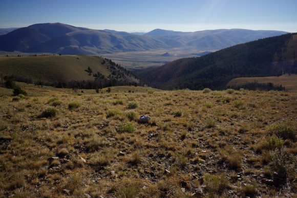
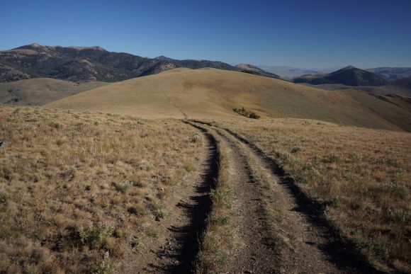
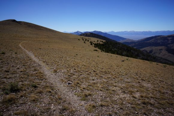
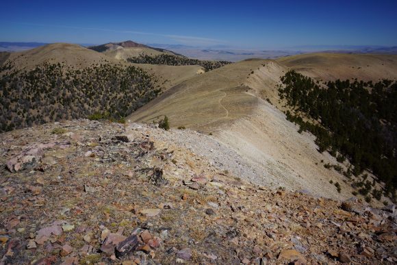
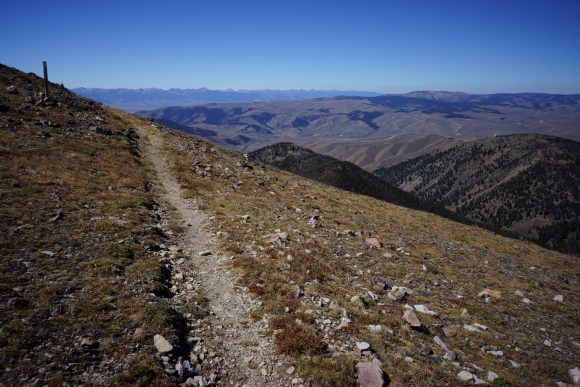
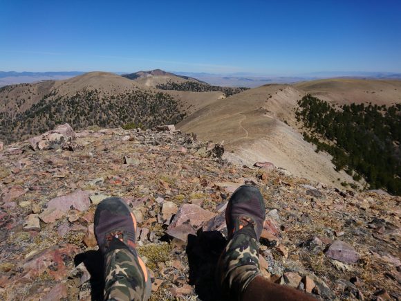
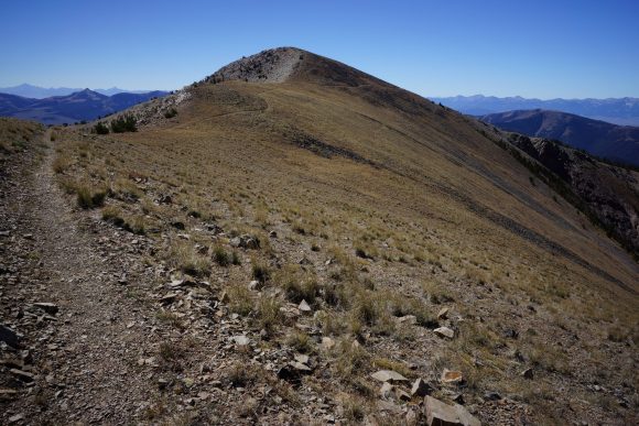
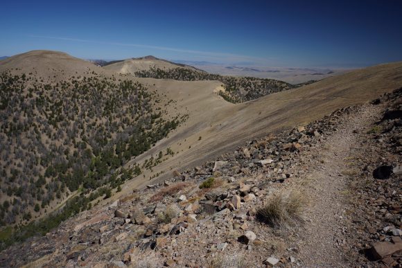
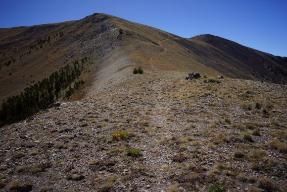
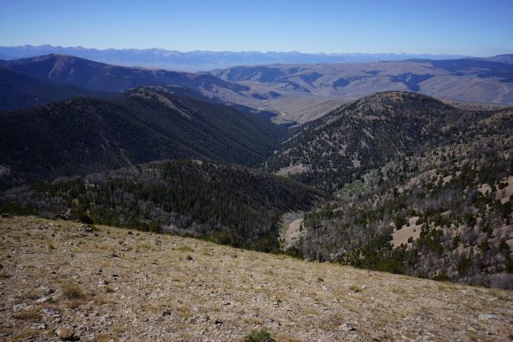
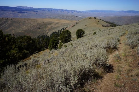
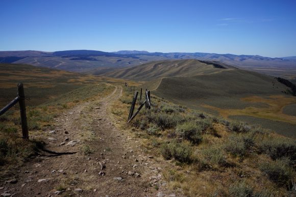
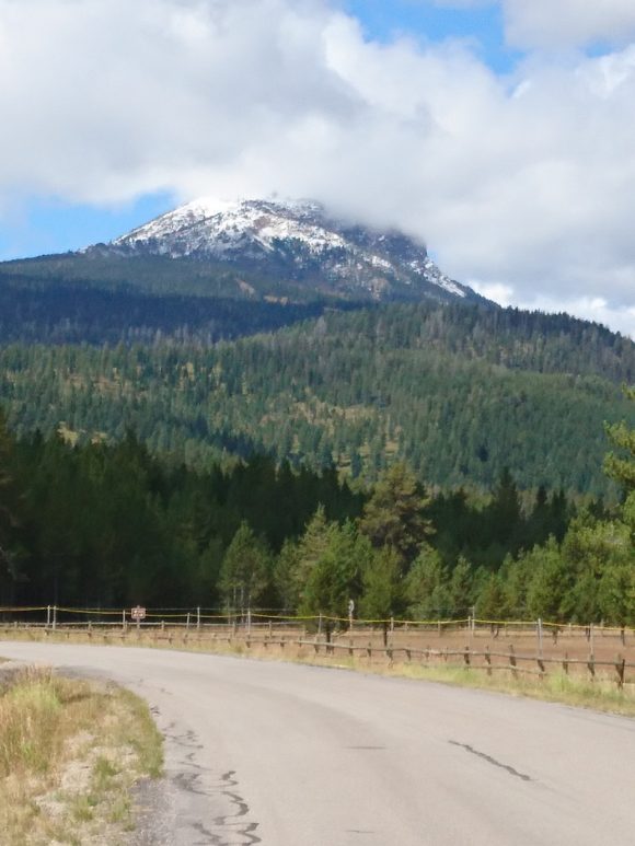
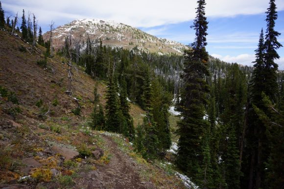
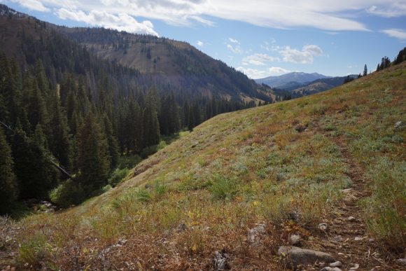
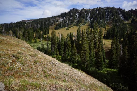
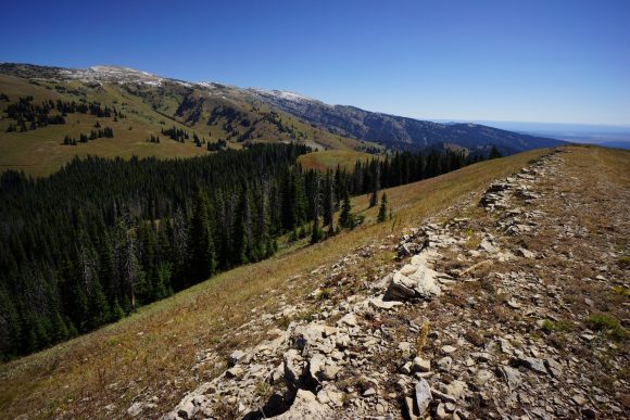
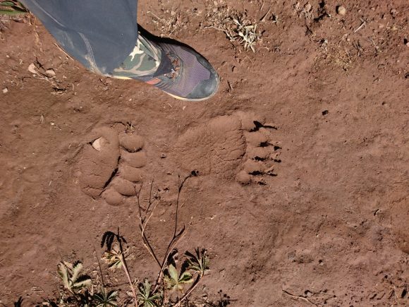
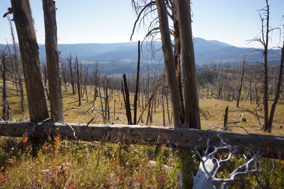
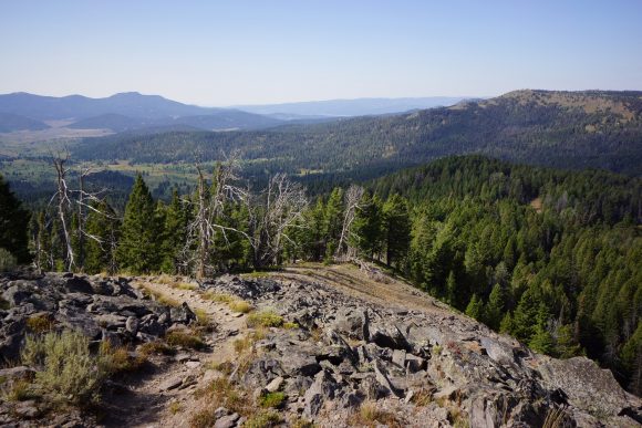
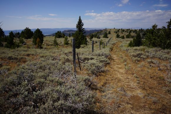
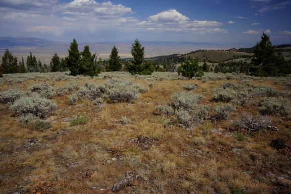
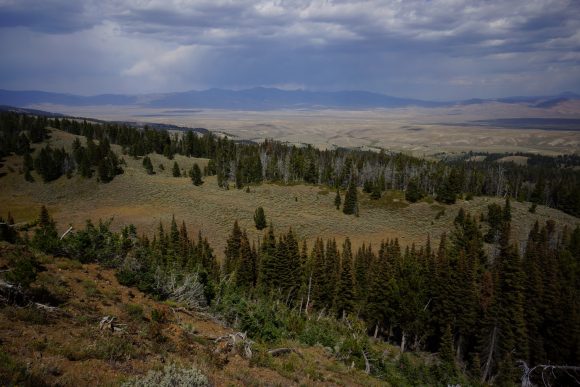
The hike north out of Leadore continued to offer some good ridgeline views, although not as frequent or quite as impressive as the Lima to Leadore section. However, it was forest fires dominated the theme of this stretch. Small and large plumes of forest fire smoke could be seen in many directions, and I was often quite close. I even walked over some active flames. I later found out the forest service closed the trail I was on again only hours after they gave me the go-ahead. I also encountered a momma bear and her two cubs. There was a lot of climbing in this section, with no day under 4200′.
Tuesday September 4th – CDT Day 137
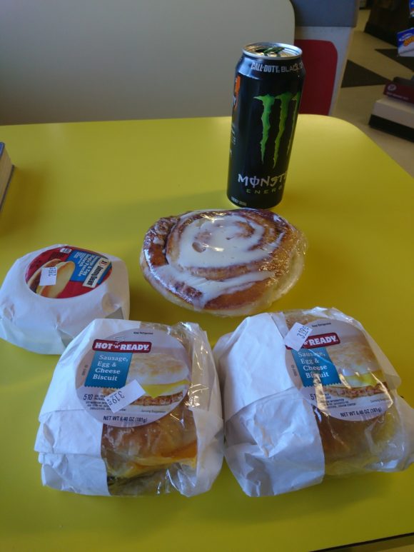
I was going to eat at the silver dollar restaurant again for breakfast but they were closed at 8:30am. I headed to the stage stop instead and picked up some sausage egg and cheese biscuits, cinnamon roll and a monster… A 2200 calorie breakfast for this hungry hiker!
While browsing the CDT hiker registry/log maintained by the Stage Stop, I came across Cookie and Paul’s entry from 2008. This was cool to me because I must have watched Cookie and Paul’s video of their CDT hike a hundred times over the past 6 years. It’s very detailed in showing what a hiker can expect to see and encounter on the Continental Divide Trail, and might be my biggest inspiration for choosing to hike the CDT. This definitely made me pause for a moment as I realized the significance of this. Also, we were both here September 4th which makes me feel better about my pace. Still, I’m basically the caboose on this CDT train. I’m not aware of any other NOBOs behind me.
After breakfast I went to the ranger station to get some info on the fires. As it turns out, all of the closures for the goldstone fire have been lifted. That means no super long reroute for me! Now I could go back to the stage Stop & buy my groceries knowing how many miles I need to hike over how many days. Then I went to the post office to mail back some things.
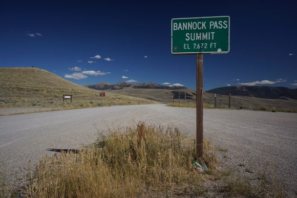
I checked out around 11:30am and had Sam drive me back up to Bannock pass. It was closer to 12:30 by the time I started hiking today.
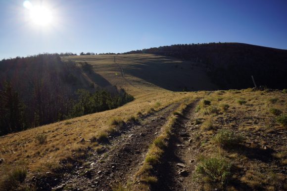
First few miles where nothing special. The trail heads up hill through Forest along the Idaho/Montana border. Occasional cow activity.
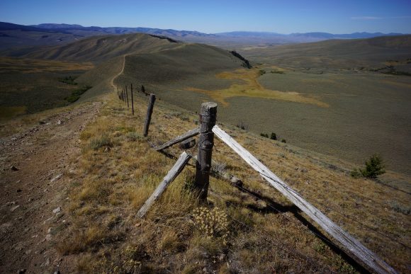
Nice views of a rolling Valley below. Then more uphill climbing. Then down, then Uphill, then down again and repeat.
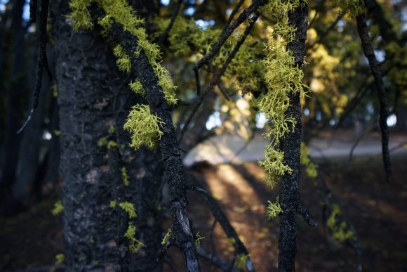
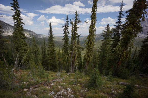
Hiked through this pine forest that was filled with trees where the lower branches had a very bright green moss. It looked like a whole forest of moss, pretty neat.
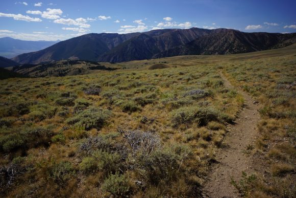
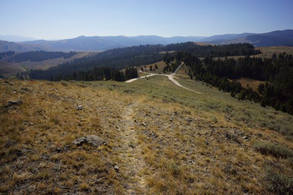
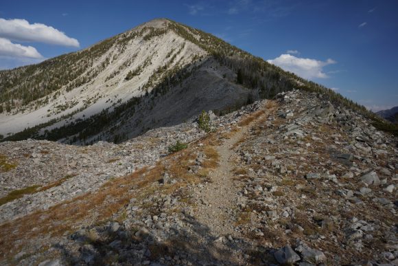
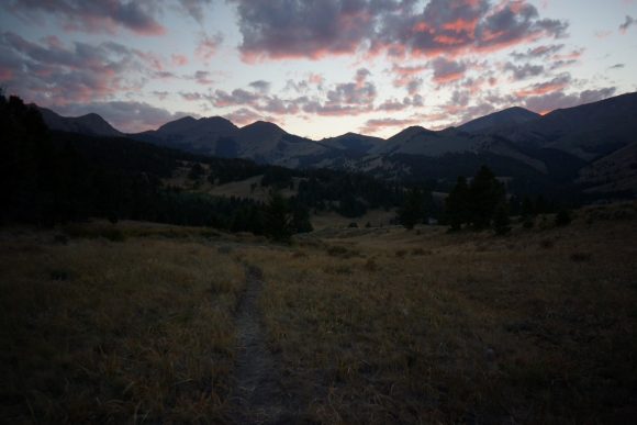
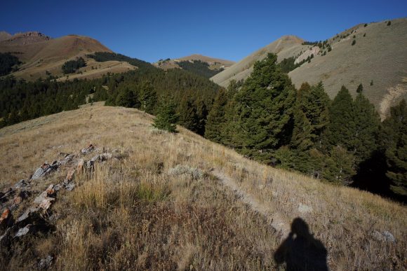
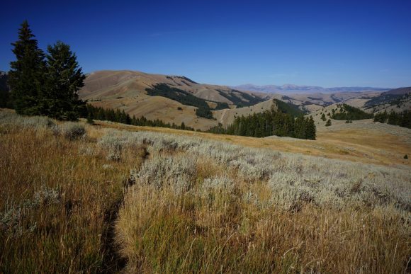
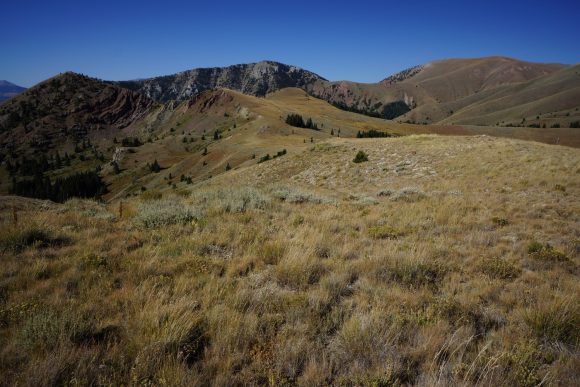
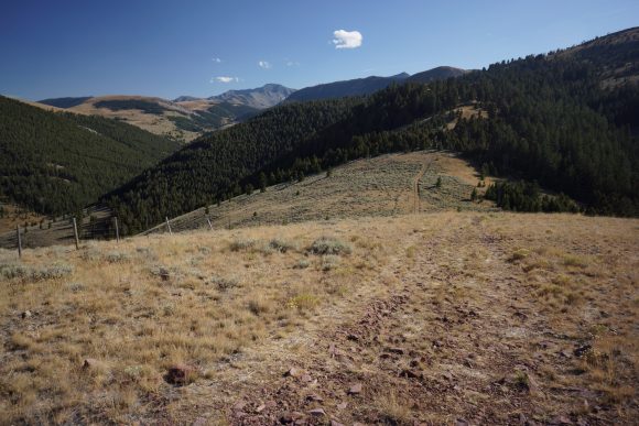
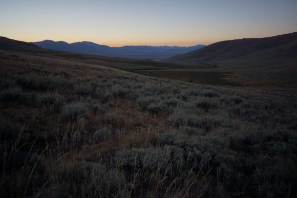
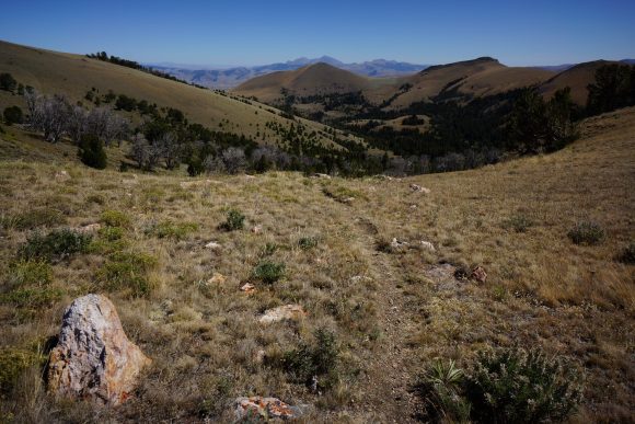
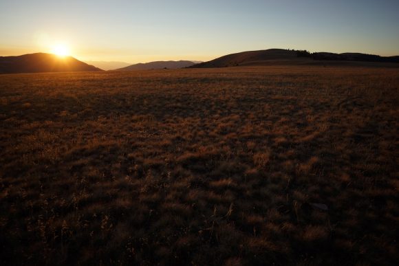
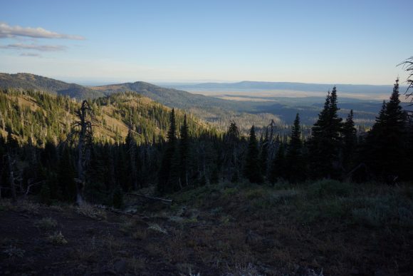
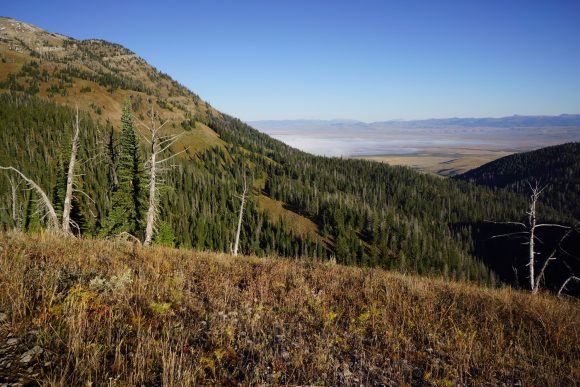
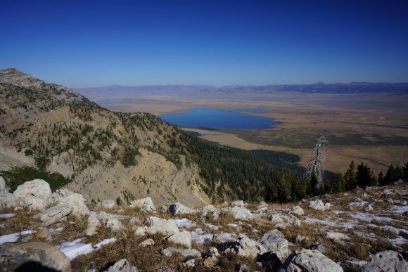
Later the trail goes up on a ridge with a good open view of the mountains in the distance across the valley below. The valley that leadore and salmon and other cities are in, running parallel to the Divide. Early evening time it was beautiful with the setting Sun.
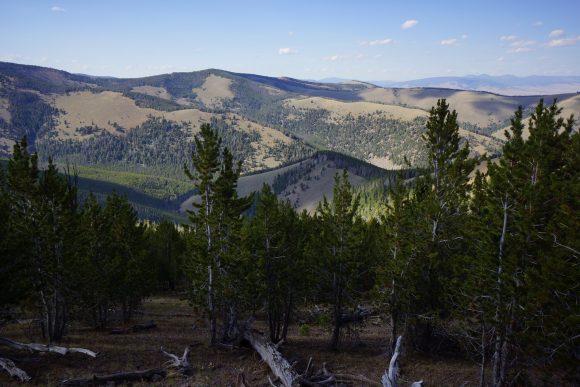
I saw some smoke from a fire that was not all that far away. At the closest it looked like it was only over one or two more ridges, but my view was obstructed by trees.
I made camp in a gully about 6 miles south of Lemhi pass. It was about 8:45, and pretty close to dark. I Cowboy camped again under some really bright stars.
Miles – 22
Total Miles – 2321
Rain – no
Sleep -Backcountry, cowboy camp
Animals – elk, bald eagle
Wednesday September 5th – CDT Day 138
Last night wasn’t too cold. Started hiking at 7:20.
Not much to see on this mornings hike. Made it to Lemhi pass around 10am. From here, it’s a quarter mile walk to Sacagawea Memorial. There is a spring here that feeds Trail Creek. Trail Creek is essentially the headwaters of the Missouri River. Lewis and Clark passed through here on their expedition. And this is where I will fill my water to last me the rest of the day. So glad I have a 3L water capacity again as well!
Leaving the spring I bumped into a local. I told him about the fire I saw last night and he wasn’t aware of it. He said he was going to call it in.
Leaving Lemhi pass the trail climbs up hill steeply for a while. When it flattened out for a bit, I could cover some ground. It was not scenic either, so I ended up covering 9 miles in 3 hours. A pretty solid pace for me in this terrain.
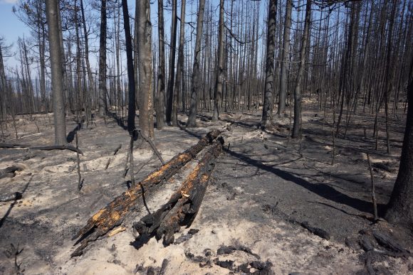
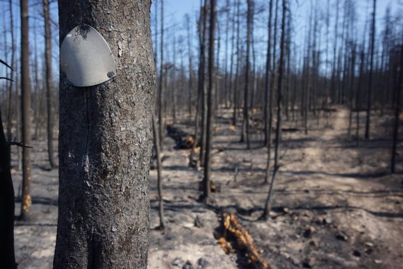
Later in the afternoon I began to come across burn areas. Some random spotty burns and some widespread areas. Only a week ago this was on fire. Most everything was out, but some areas were smoldering and some were even on fire still. I stepped over a couple of burning logs along the trail, isolated pockets of fire from rogue embers.
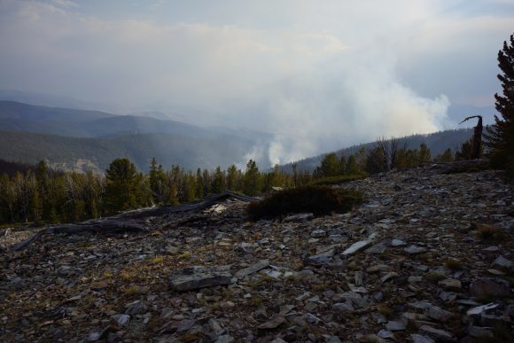
There were few good views today. Almost the whole day was spent in the forest with no distant view. The forested open up at one point and there was a large amount of smoke coming off the closest Ridgeline to me, just downhill. Not that far at all. Fortunately the smoke is blowing the other way. Otherwise, I might not have been able to pass through here. It was that thick.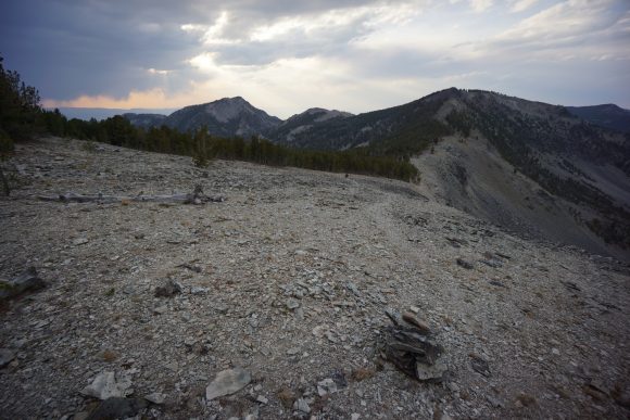
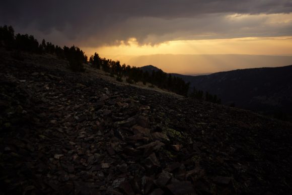
The final climb before Goldstone pass did offer some good mountain views. However, the weather was turning. Dark clouds building to the west and moving my way. Rain could be seen across the valley, in front of a beautiful orange sunset as the backdrop.
Made it down to Goldstone pass. Not even 8pm yet, I set up camp here due to impending rain. Sure enough, sprinkles as I set my tent up. I got it all together just in time, jumped in the tent as heavier rain began to fall. Looks like I’ll get water tomorrow morning instead, not doing that tonight.
Miles – 28
Total Miles – 2349
Rain – yes
Sleep – Backcountry, tent
Animals – deer
Thursday September 6th – CDT Day 139
I walked about a quarter mile down the road to a spring on the map. It was pretty shallow but I made it work. Filled my dirty water bag and headed up hill. Filtered this water while I broke down camp and hit the trail around 8:15.
Trail goes uphill then drops down into a new basin briefly before climbing a pass. Not really super scenic today overall, mostly just walking in the woods with no view of anything. The next several hours will be like the above, as the trail detours around some really steep terrain on the divide.
After first lunch I tried to pick up the pace on the now flat and easy trail. I made a conscious effort to keep up a 4mph pace and really knocked out some miles.
One section of trail south of miners Lake trailhead had some new switch backs that weren’t on the map. The old route pretty much goes straight down. This one zigzags wildly across the mountainside adding one to two more miles that I wasn’t planning on doing today.
Next up is a 2000′ climb. I was hoping to get it all done today but realistically, setting up at one of the top lakes just below the divide is a good way to go as well. I still have to filter water, been running all day on only three liters and almost out.
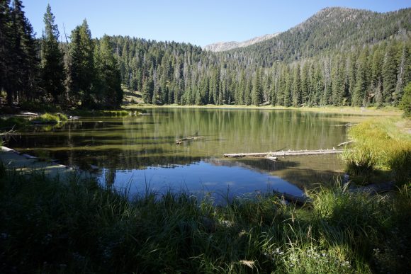
Just before reaching the highest Lake in the chain, I drew some water from the outlet. Carried this with me as I searched the area for a campsite. Filtered water as I set up camp along a small Lake. I got a few sprinkles after setting up my tent but nothing major.
Miles – 31
Total Miles – 2380
Rain – no
Sleep – Backcountry, tent
Animals – deer, Ptarmigan?
Friday September 7th – CDT Day 140
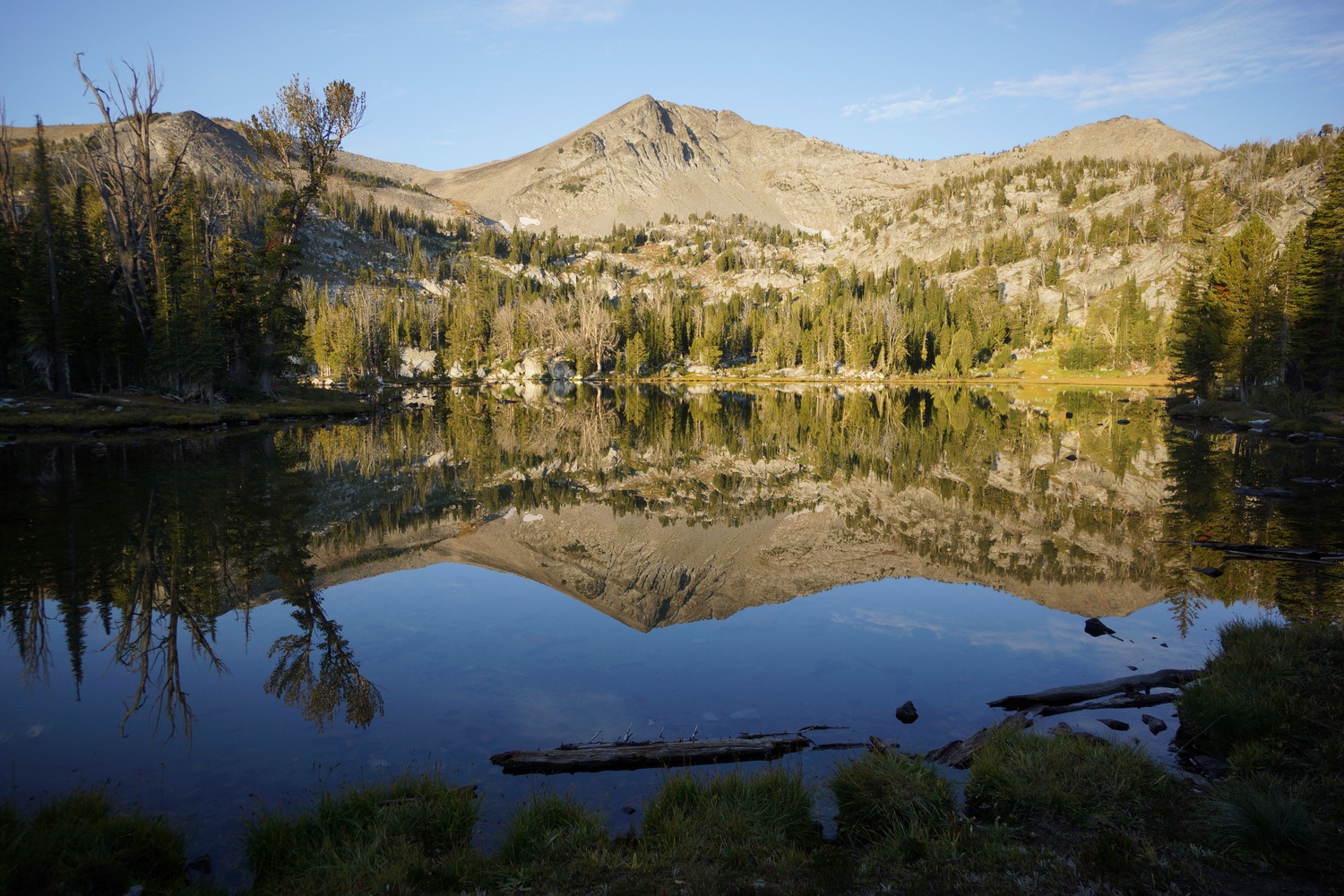
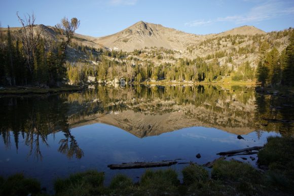
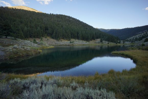
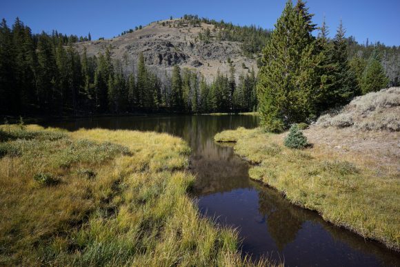
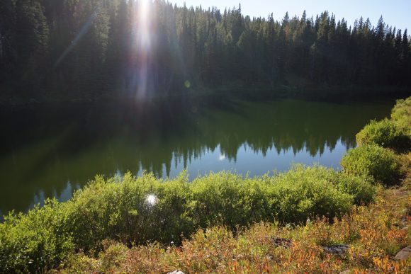
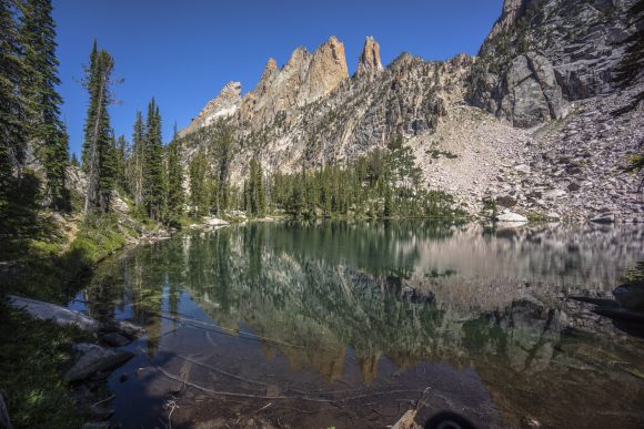
The reflection this morning on the Lake was incredible. Very reminiscent of Colorado.
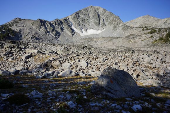
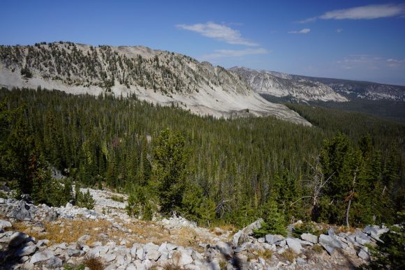
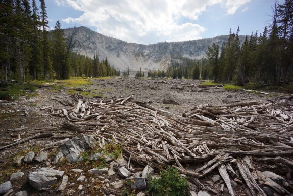
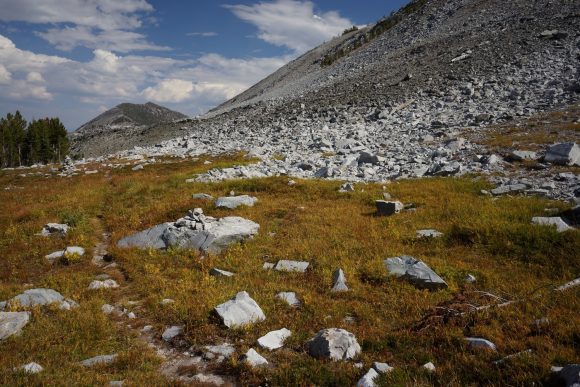
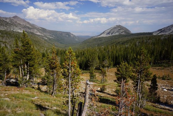
Finished the 2000′ climb I was unable to complete last night. I crested the pass and laid eyes on another new valley. This one was filled with lots of green pine trees, which would later obscure my view. Some big boulders and nice scenery in the upper basin.
Went over another pass with a nice view. Wow, this is a pretty big valley.
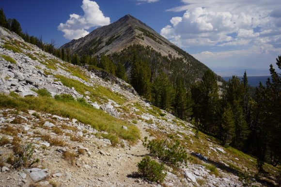
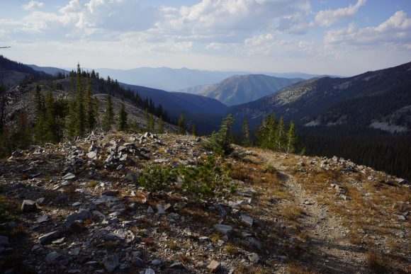
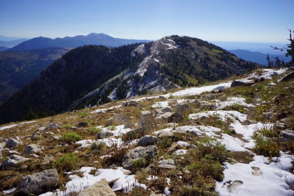
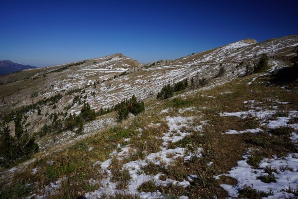
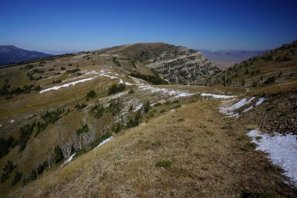
The trail manages to stay slightly higher than treeline offering better views. The trail then follows a scenic ridgeline with some of the best views of the day.
I took a break to filter water and eat food near a stream around 4:30pm. When I was packing up and getting ready to leave, I heard a weird noise behind me. I turned around and saw two black bear Cubs climbing a tree only 50 feet away. I grabbed my bear spray and started looking for the mother bear. I yelled “yo bear” and the mama bears head popped up from behind a fallen tree. I yelled again causing the mama bear to turn around and run up the hill. The Cubs were still in the tree, mama bear abandoned them. After short while the Cubs climbed down the tree and ran uphill to their mama. That was really cool to see so close.
After the bear encounter it was a 3000′ descent into a valley. I mostly zoned out and zombied along the trail. At one point a squirrel fell out of a tree a couple feet in front of me. He landed in the dirt, but bounced up and ran away quickly. I got a little chuckle out of this, as I nearly had a squirrel fall on my head. Later I saw a couple of big Elk off in the forest.
When I reached the area I had planned on camping at, I didn’t see any good campsites so I kept moving along the trail. Problem is, next two miles are a 1500′ climb through a narrow Gulch. There’s not going to be anywhere to camp here. It was also dark now, so I was hiking by headlamp. I made great time going uphill but was really pushing myself now.
Made it to the top of the climb around 9pm and found some good camp spots. Cowboy camped under the stars. Really tired, and really looking forward to town tomorrow!
Miles – 29
Total Miles – 2409
Rain – no
Sleep – Backcountry, cowboy camp
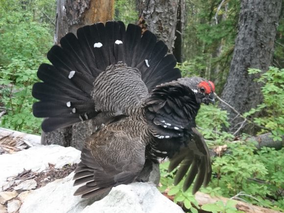
Animals – deer, spruce grouse, elk, 3 black bear
Saturday September 8th – CDT Day 141
Intermittent clouds and stars last night had me a little worried about the possibility of rain, but there was none. Warm night, warm morning. Nice for once.
Hiked a few miles to big hole pass. I saw some elk hunters on the way. At the pass, I walked a hundred yards downhill to a piped to spring to get my days water.
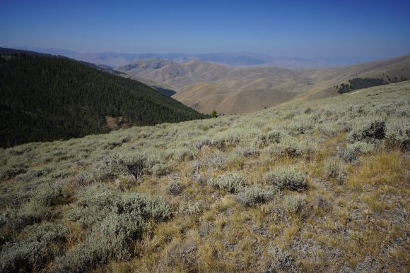
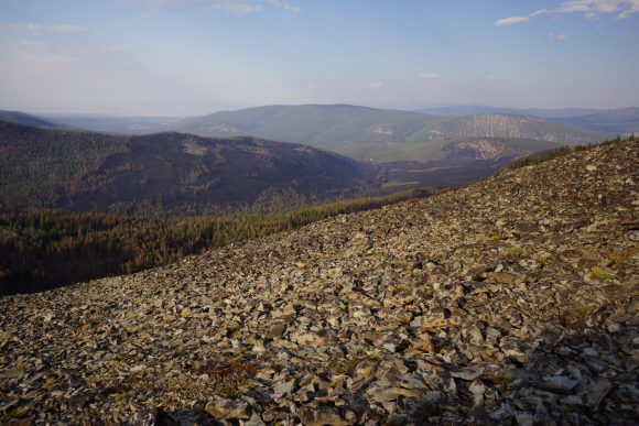
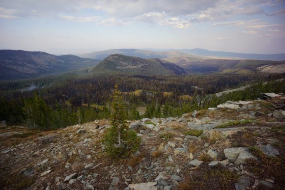
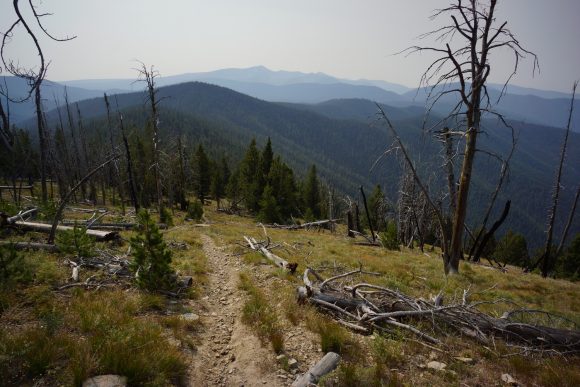
More of the same terrain… Hiking up and down Ridgelines with little or no view. When there was a view, the smoke and haze prevented distant views with any clarity. However, the haze created a pleasant scene with layers and layers of mountains on the horizon.
The last several miles of hiking follows a dirt road. There were many people cutting firewood here.
At Chief Joseph pass, I stuck out my thumb and began the process of hitching into town. There wasn’t a whole lot of traffic going the direction I needed, but after about 30 minutes the 5th or so vehicle that passed by stopped. It was a small RV driven buy a nice guy named Pete. He was kinda enough to take me to the Travellers Rest RV park where I had planned on staying.
All of the motel rooms in Darby where booked this weekend, including the cabins at Travellers Rest. This is due to the filming of the Kevin Costner series Yellowstone here in Darby. The only available option for me was a tent site. Not ideal, but at least it’s cheap.
I had five boxes waiting for me in the office at Travellers Rest… Bounce box, box of Resupply items from dad, new Salomon shoes sent from the rep I met in Yellowstone, new Brooks insoles for my Cascadia shoes, and new Patagonia boxers.
Like most days I get into town knowing I will zero the next day, I didn’t do much. I setup my tent and headed up to the little blue joint restaurant for dinner. I got chicken strips, fries and a small pizza. Both were amazing, really really good food that seemed out of place for a town like this.
With a full belly it was time to get some sleep. It certainly wasn’t a comfy bed, but rest is rest. At the Travellers Rest.
Miles – 21
Total Miles – 2430
Rain – no
Sleep – rv park, tent
Animals – none
Sunday September 9th – CDT Day 142 (zero day)
Breakfast this morning was the other half of last night’s dinner. Portions were huge at the little blue joint.
I got started on all my town chores by late morning. I had a little table set up in the shade with an extension cord running out to it to power my laptop and portable hard drive, and began backing up all my photos and video. Opened all my packages, Resupplied my bounce box, Resupplied things in my backpack from my bounce box, etc.
Mary, one of the owners of Travellers Rest, said that the bunkhouse was now open tonight if I wanted to get a bed. Yes, absolutely! I broke down my tent and moved all my gear indoors. Once I got inside, I realized how tired I was. I laid down and took a half a half-assed nap for about an hour.
I headed up to the little blue joint again for dinner. Got a burger and it was delicious! Headed back to Travellers Rest to knockout a few more chores before bed. Mostly, dealing with my bounce box and figuring out where to send it next and plans for the rest of the trail.
Lima to Leadore – CDT Thru Hike 2018
Continental Divide Trail – Lima to Leadore Hike Overview
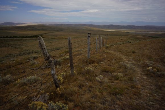
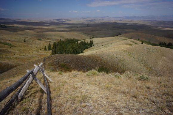
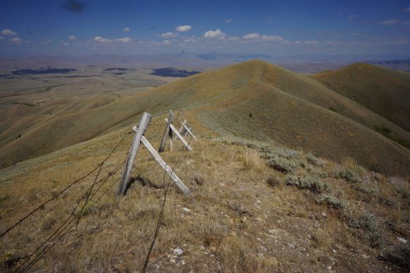
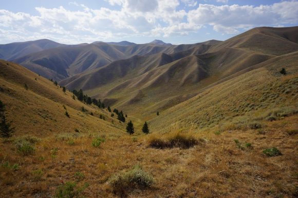
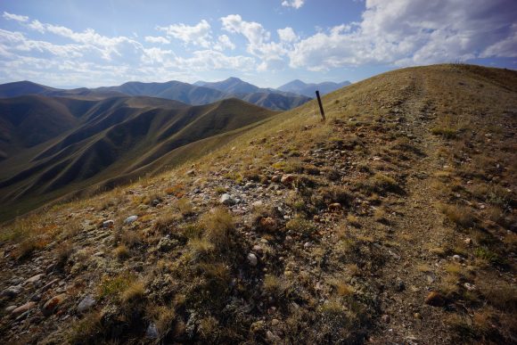
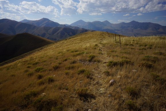
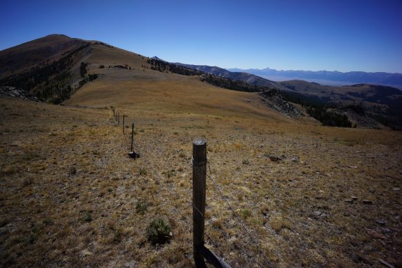
The hike from Lima to Leadore was probably my favorite section of the CDT in Montana/Idaho. This is how I envisioned more of the state would be. The trail is often up on a ridge with a fence separating Idaho from Montana, and there’s big views all around. The vast seas of golden colored rolling hills convey a subtle yet powerful message of beauty. Other times, seemingly endless mountain ranges dominate distant views across a massive valley. Walking on the divide in the dwindling alpenglow proved to be some of the most memorable moments for me.
Friday August 31st – CDT Day 133
Got a ride back to the trail at 9am. Mike had his friend Bob give me a ride. Bob is from Canada and was passing through the area, and ended up staying several weeks at the motel. Great guy. He mentioned that most hikers get dropped off 3 miles past where I got picked up at to avoid a dirt road walk along the highway. He said I was only the second person he dropped off that requested to be dropped off at the same place they were picked up from. Everyone else had no problem skipping the 3 Mile Road walk. That’s just crazy to me how many people out here are skipping sections of Trail because they find it boring or whatever. I guess I’m one of the few, one of the proud… continuous footsteps the whole way.
Did that 3 road walk in my sleep. Actually, I made use of the LTE signal and ordered some new boxers. Mine are falling apart.
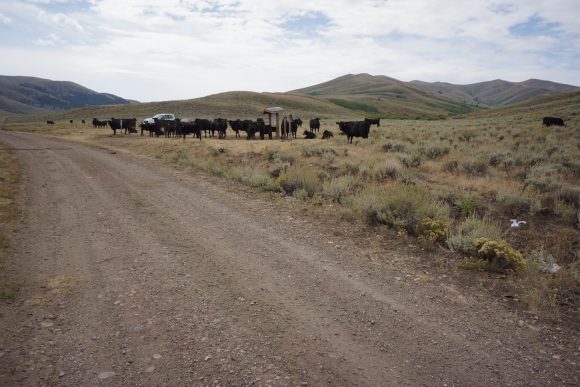
After the 3 mile road walk along I-15, the road turns into the mountains. It’s another 5 or so miles to the trailhead, which was guarded by cows. Damn, it’s new Mexico all over again.
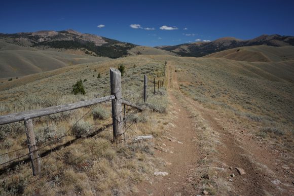
Off the dirt road and now on trail, it climbs and climbs. It follows the divide which is once again the Idaho/Montana border. I already like these views better than the last section.
There was an amazing amount of annoying gnats and mosquitoes up on the ridge in spots. It looks like the land here is used for sheep grazing in spots.
Although the trail stays high most of the day now, it still includes a lot of PUDs, or pointless ups and downs. It’s also really dry and no water. I did see two southbounders named turtle and willow as well as a couple of elk hunters.
Eventually the trail drops down into a valley. I lost the trail here and ended up on a cow path. It led me to a stream where I filtered water. Perfect, because I’d been going all day on 1.5L. I was also really hungry, only stopped once for a snack today. Didn’t want to eat much without the water. Had a quick snack with my water and moved on out was 6:30pm now and only a few miles to a trailhead with good camping, so I pushed on.
I arrived at the trailhead around 8:30pm. There were several car campers here. I set up by the creek under some evergreens, and promptly chowed down dinner. I was pretty tired and went to bed immediately after.
Miles – 27
Total Miles – 2224
Rain – no
Sleep – Backcountry, cowboy camp
Animals – none
Saturday September 1st – CDT Day 134
Woke at 7. Cold morning. Took a while to get going. Left camp at 8:30.
Like always, it’s a big climb first thing in the morning. 1500′ for this one.
Over the pass, life gets a little easier with a down hill trending path for a few miles. Nice views. Passed a couple of elk hunters on horseback. Today is season opener, lots of hunters out.
I lost the trail a couple times today. The trail is so faint, or literally non-existent at times, and it just it happens. Typical for the CDT, really.
Reached a dirt road that I followed for about 5 miles. A guy in a van drove by and stopped to talk to me. Super nice guy, his name was John. He asked if I needed anything, and I replied a Gatorade if you have it. Not only for the the Gatorade but I could use the extra container. I’m only carrying 2 liters of water and it’s been dry enough at times to warrant a third liter. Anyways, John had a cold Powerade in the cooler for me which was greatly appreciated! I used this bottle the rest of the trail.
A few miles up the road, I bumped into another guy sitting in his truck. His son is out Elk hunting and he was just waiting there for him to finish for the day. His name was Fred, an illustrator for several outdoor magazines. His son writes articles for the same magazines, fly fishing and hunting. I really envy people that get to do what they love for work.
Eventually I jumped off road and back onto a trail. I follow this couple more miles before reaching deadman lake. This was a pretty spot! Great campsite here, but I wanted to put in a couple more miles. Story of my life on the CDT.
Leaving deadman Lake, I had a choice. I could take a longer route on trail that zigzags around, or cut off a few miles by taking a dirt road. Being in the situation I am, in a hurry to reach Canada in 30 days. Obviously I took the dirt road.
Bumped into a few more hunters just as the Sun went down. We walked together a little ways on the dirt road as I searched for a campsite. They offered to let me stay with them, another two miles down the road, but it was already dark and to be honest I didn’t want to be up late bullshitting with them. I snagged the first flat spot I saw.
Stars are bright and milky way is super visible. Wow!
Miles – 27
Total Miles – 2251
Rain – no
Sleep – Backcountry, cowboy camp
Animals – none
Sunday September 2nd – CDT Day 135
Woke up to the sound of a truck driving by around 6:45. Last night was pretty cold. It was even colder because I hadn’t fluffed up my quilt. Usually I shake it in such a way that the down settles where it will be on top of me and very little underneath me, where I am already warm from my sleeping pad. I won’t forget tonight!
I followed the dirt road I was on yesterday down into a valley below, and headed across it. There were tons of hunting camps here.
It was a couple miles of dirt road walking before it transitions into trail. The trail had been trending uphill for much of the morning and early afternoon. Lots of elevation gain today, very tiring.
After lunch it became very scenic. Lots of Ridge walking with huge views in all directions. Really nice walking. I saw a pronghorn running through the golden grass on one of these ridges as well. Haven’t seen one since Wyoming. The great Divide Basin desert come to think of it.
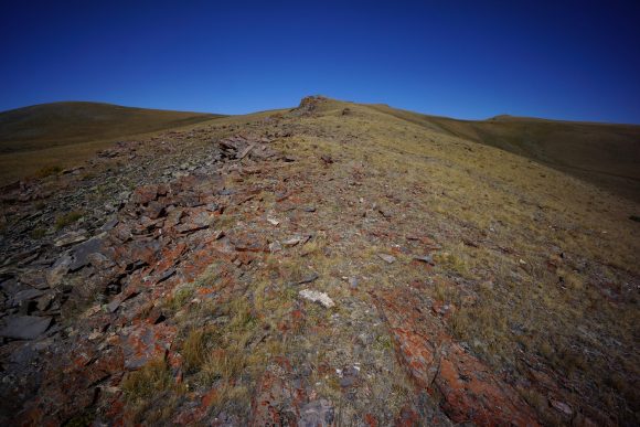
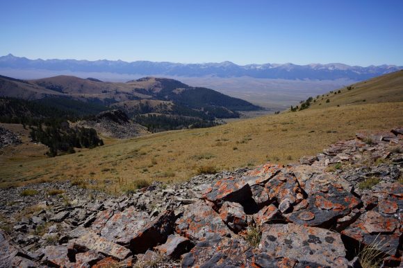
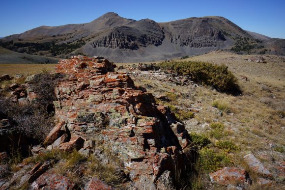
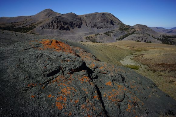
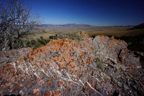
Interesting red rock and red lichen on a black rock backdrop caught the eye.
Eventually the trail drops down from the divide and follows a drainage downhill. Descending this Valley was beautiful.
It’s a couple more miles of walking over ridges and long the base of the hills before reaching Morrison Lake. I stopped here to filter water and eat dinner. Really pretty Lake.
I had about 4 and a half miles left to hike at this point in order to leave myself with a 20 mile day tomorrow. This way I can get into town late afternoon or early evening. Most of this will be uphill. The climb was steepest just above Morrison lake. After that, it was more manageable and about 2 miles to the top of the Divide.
Really nice walking this evening up on the divide. The Sun was setting and provided beautiful skies in all directions. There needs to be more of this!
Set up camp on one of the saddles along the ridge. Just downhill and near a couple trees. Minimal cover, but very calm night. Perfect to cowboy camp under the stars again.
Miles – 27
Total Miles – 2278
Rain – no
Sleep – Backcountry, cowboy camp
Animals – pronghorn
Monday September 3rd – CDT Day 136
Another nice night sleeping out under the stars. But chattering of the squirrels and birds woke me up around 6:30 today. No problem, I want to get to Bannock pass as early as possible to increase my chances of getting a hitch. That is, if I don’t get cell phone signal. If I do, I will call Sam at the leadore inn and get a ride that way.
This morning’s hike was a nice one along the divide. Exposed, good views and Pleasant. Ups and downs, but smaller ones.
The big climb for today that I was dreading was up Elk Mountain. However, it wasn’t too bad. Other hikers have said you could call Sam at the leadore Inn from here with decent signal. I was not that lucky. Nothing. I did stop and eat lunch up here though, great view.
More enjoyable walking coming down from Elk Mountain. The trail follows Ridgelines and skirts the hillside of others. Most of the big climbs are now out of the way.
The rest of the afternoon was spent walking Ridgelines downhill towards Bannock pass. The Idaho/Montana section of trail is almost always on a ridge. Good stuff, But hard work.
Made it to Bannock pass at 4:15. As I was hiking down to the pass, I saw several cars drive by. This gave me hope. I also noticed a fire burning a couple miles away from the pass that I hadn’t noticed while hiking the trail. Yikes.
There was very little traffic on Bannock pass. It took 2 hours, but I did get a hitch. Super nice woman named Laura, a local out cutting firewood in the forest. She dropped me off at the leadore Inn.
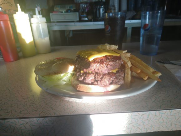
I spoke with Sam, the owner, as I checked in. Nice guy. The motel itself is four rooms in the backyard of Sam’s house. Took a shower and then headed out to the silver dollar restaurant for dinner. Of course I ordered something like ” whatever you’re biggest burger is, double it”. The waitress usually gets a kick out of it, especially when I put it down no problem. And this was no exception.
I was going to check out the stage stops food selection, but apparently they close at 6. It’ll have to wait till morning. Nothing to do but go back to my room. I spent the rest of the evening doing internet things on my phone and relaxing on a nice comfy bed. It feels incredible to be off my feet.
Miles – 21
Total Miles – 2299
Rain – no
Sleep – hotel
Animals – none
Macks Inn to Lima – CDT Thru Hike 2018
Continental Divide Trail – Macks Inn to Lima Hike Overview
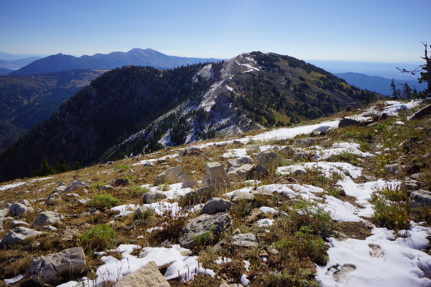
After leaving Macks Inn, the route follows roads nearly to the summit of Sawtelle Peak. It snowed up here yesterday, so it’s wet and muddy. It’s a bushwhack down a quiet little valley to rejoin with the official CDT. After this, the trail is often high on a ridgeline. The views are good but not terribly photogenic. There’s a massive valley here to the south, which was carved by past eruptions of the hotspot/super volcano presently located under Yellowstone. From here, The Tetons can be seen 60+ miles away! Lots of bear activity in this area as well. Near Lima, the fence line that represents the Idaho/Montana border becomes a frequent sight.
Tuesday August 28th – CDT Day 130
Walked down to the macks inn post office this morning to mail my bounce box and a few items back home. The post office didn’t open until 10, and it was a two-mile walk each way. By the time I got back to the hotel, packed up, made some last-minute phone calls and checked out it was almost noon.
The first 10 miles were on a road leading to Sawtelle Peak. The peak had some snow from yesterday’s storm. First snow of the season. I need to hurry my ass to Canada.
Eventually a trail splits off from the road just below the summit of Sawtelle Peak. The trail here was covered in snow and mud. Everything was soggy and slippery. It was a little slow going. I believe this is the first time I actually walked on a trail while hiking the Mack’s Inn alternate. I was beginning to think it was 100% road walk.
After a while the trail drops in elevation below the snow line. This is also roughly where I crossed into Montana for the first time. The trail becomes much more faint here and difficult to follow.
I followed the trail for a few miles along the north side of a small Creek. Pretty little canyon.
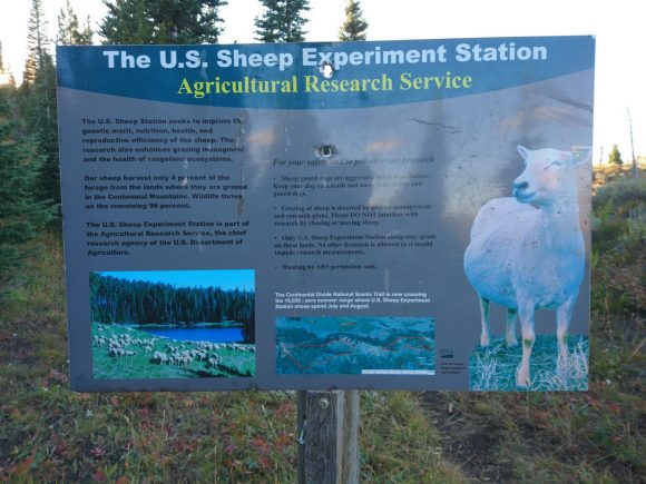
After a few miles the trail reconnects with the CDT again. The trail is much better now and is actually blazed. It also starts climbing uphill to the United States sheep experiment Station. Gotta love it.
The temperature dropped quickly this evening. I stopped to filter some water just before 8pm and walked on looking for a campsite. I found a nice spot with a circle of trees around 8:15.
Cowboy camped Under the Stars tonight. Cold night but warm in my sleeping bag.
Miles – 21
Total Miles – 2146
Rain – no
Sleep – Backcountry, Cowboy camp
Animals – deer
Wednesday August 29th – CDT Day 131
Last night was nice. Calm, bright stars and then a nearly full moon. Got up at 7 and started hiking around 7:45.
The trail starts climbing immediately. It reaches a high point of 9600 ft. Up here, there’s a little snow left. Mostly on the trail it seemed. Anywhere it wasn’t snowy was really muddy and slippery. The kind that cakes up on your shoes.
Landscape is nice but not spectacular. It consists of rolling ridges, occasional mountain peaks and patches of forest. The grass is mostly brown, which dominates distant views.
Saw some really huge grizzly bear prints in the mud. I’m glad it had already gone the other way. I saw these tracks on and off for a couple of miles.
I finally felt the temperature warm up a bit late morning. I had also dropped down in elevation.
This afternoons hike passed through the targhee national Forest and was uneventful overall.
Found a spot to camp under a tree just before 8pm with 30 miles on the day.
Miles – 30
Total Miles – 2176
Rain – no
Sleep – Backcountry, Cowboy camp
Animals – deer
Thursday August 30th – CDT Day 132
Woke at 7 and Hit the trail around 7:45.
Another climb this morning right away. I reached the top of a ridge with a decent view. However, the views just don’t compare to Wyoming or Colorado.
Filtered water at rock spring, the only decent water source on my route today.
The trail crossed at road at the Idaho/Montana border. Here there were a couple of cows chilling. Great, back to the cows.
Now the trail goes uphill steeply along a fence line representing the state border. This climb was a bitch! At the top, the fence line follows a breezy ridge. I filled this to a tree on the high point she I stopped for lunch. I also had lte here. Called the mountain view motel to arrange a ride into town but no answer. Left a message and moved on.
The trail continues to stay high on a ridge for a while. Decent views. Desolate looking brown mountains in the distance beyond a large open valley. Nice, but didn’t blow you away. Ugh, nothing will ever compare to the winds.
Walked some dirt roads for a few miles with on and off cell service. And cows, don’t forget the cows. Dark skies in one direction, but consistent sunny skies above me. Called the motel a few more times but no answer.
I arrived at interstate 15 at 4pm. I stopped for a quick snack and as I got up to walk onto the highway, Mike from the motel called back. He said he’d come get me right now. Perfect timing!
I got a room at the mountain view motel and took a shower. Then I headed up to the peat steak house for some grub.
On the way back to the motel, I stopped at the Mobil station to buy food. This gas station is the only place in town for “groceries”. I made due with the selection and headed back to the motel to pack up. Heading back on trail at 9am tomorrow.
Miles – 21
Total Miles – 2197
Rain – no
Sleep – hotel
Animals – deer
Old Faithful to Macks Inn – CDT Thru Hike 2018
Continental Divide Trail – Old Faithful to Macks Inn Hike Overview
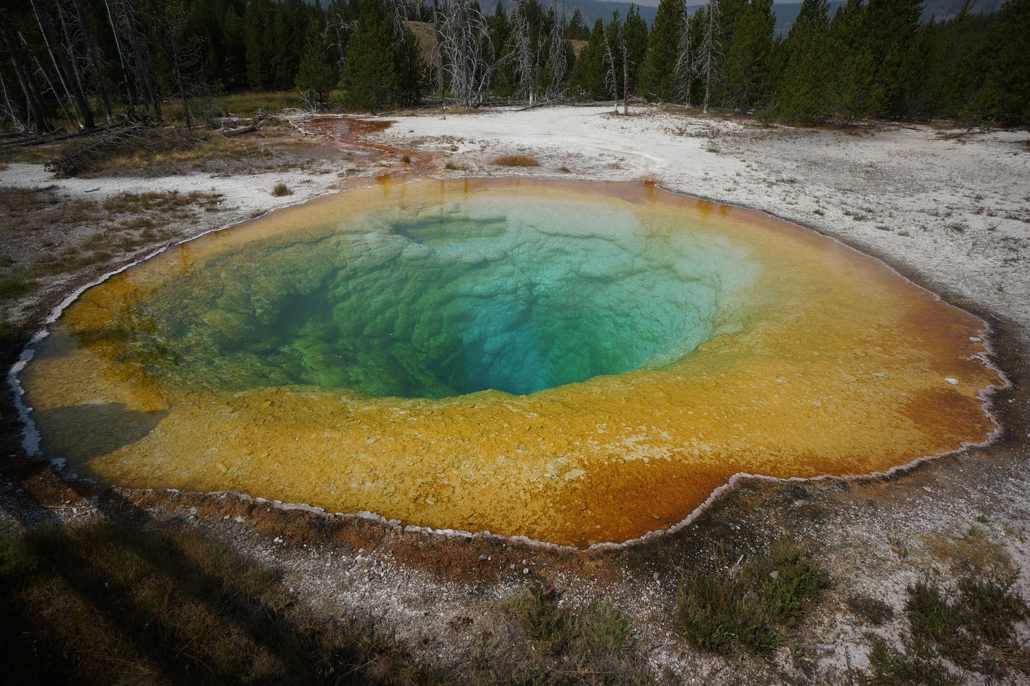
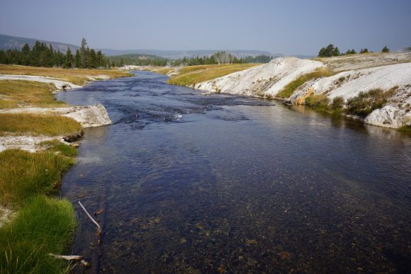
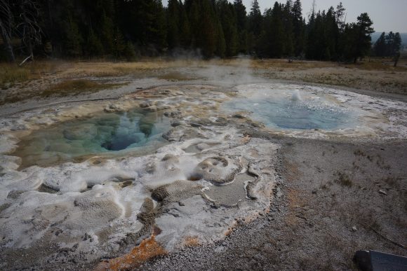
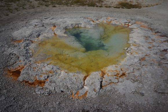
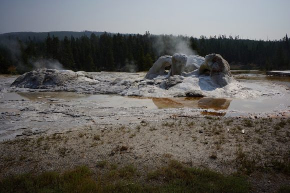
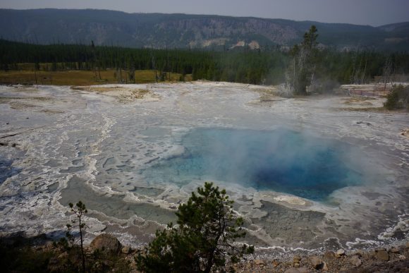
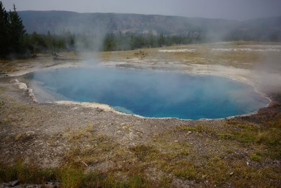
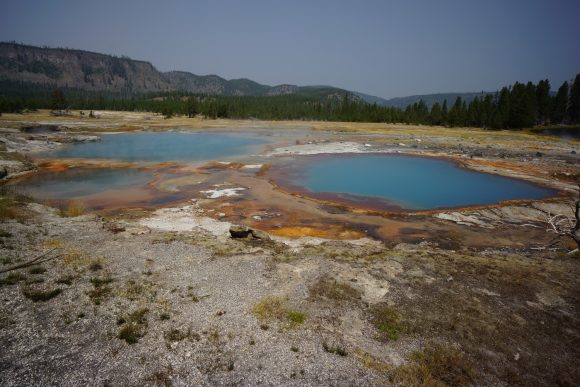
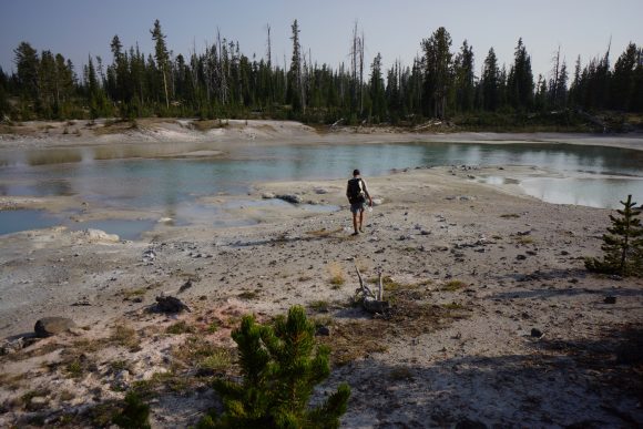
Back on the official CDT, the trail leaves Old Faithful via a boardwalk through some really cool geothermal features. Mostly, colorful pools and hot springs. Not the kind you soak in though, the melt your skin off kind. After leaving the boardwalk and hitting trail, we left the hoards of tourists behind for good. The trail passes by a lake and some undeveloped geothermal features just before we cross into Idaho. From here to Macks Inn, the trail is rather unremarkable. I did, however, see a bear for the first time since the Gila here.
Saturday August 25th – CDT Day 127
Got the all you can eat breakfast buffet at old Faithful Inn. Katie and hopeful joined. We talked about our routes going forward and it looks like we’ll be going 3 separate ways after crossing into Idaho. I will be following the Idaho/Montana border, the official CDT. Katie and Hopeful will each be doing some variant of the Big Sky cutoff route. This will save time and allow them some extra days to reach Canada before winter.
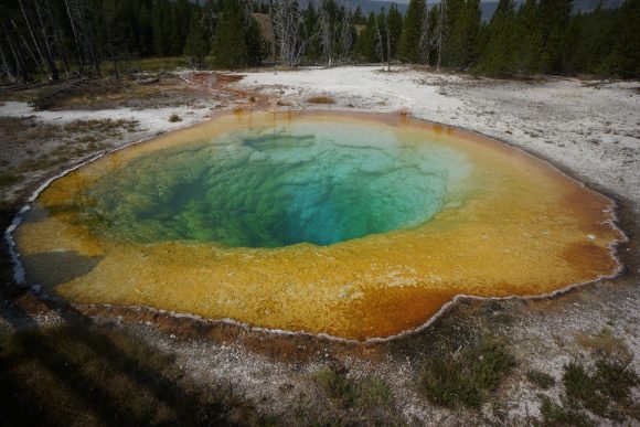
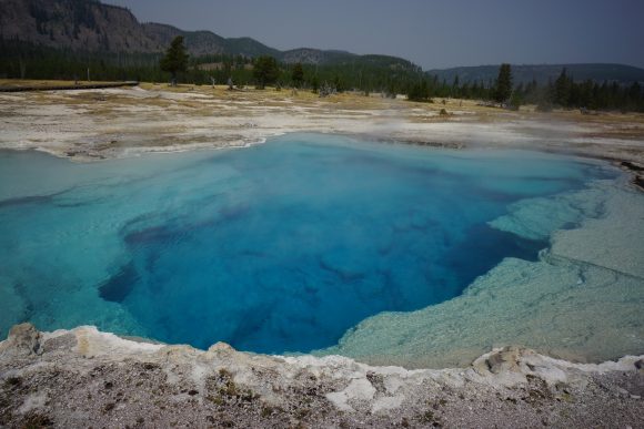
The trail leaving old Faithful passes by many geysers, colorful pools, springs and other geothermal features. Touristy, but really neat. This area is called upper geyser basin.
My favorite pool here was Morning Glory. I somehow missed it on my last visit to Yellowstone and it was nice to finally see it.
The CDT then passes through biscuit basin. More geysers and colorful pools. Past the boardwalk, the CDT continues on into the woods. Now the day’s hiking really begins.
After an uphill climb, the trail levels out. Easy hiking for a while. Ran into two women clearing trees from the trail who worked for the nps. They were kind enough to let us borrow their saw to use as a prop in a picture we asked them to take of the 3 of us.
Reached summit lake and saw old scout here taking a break. We did the same to filter water for the upcoming dry stretch.
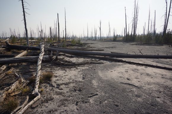
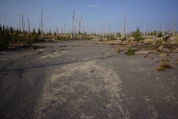
The next section was a mix of burned trees and healthy forest. Passed by a couple more hot springs and geothermal features just off the trail. The sulpher smell gave them away and pushed us in the right direction.
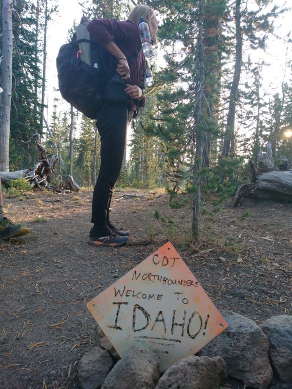
Crossed into Idaho around 7:15pm. The border was just a couple of rocks lined up across the trail with a metal Blaze sign reading “welcome to Idaho”.
Hiked a couple more miles to get out of the Yellowstone National Park boundary. Camped a few tenths of a mile past the boundary and had a small fire. This will be my last night together with Katie and hopeful.
Miles – 21
Total Miles – 2103
Rain – no
Sleep – Backcountry, tent
Animals – deer
Sunday August 26th – CDT Day 128
Had some rain from about 4am on. Fortunately, it cleared up as we were waking up at 7am.
We hiked together for another 4 miles before our routes split off. It was a sad moment to leave my friends behind. We had a good run, almost a month together and around 450+ miles. The last month has been the greatest adventure of my life and I was very fortunate to have been able to share that time with Katie and Hopeful.
I pressed on, alone. The Trail followed some degree of dirt road for the rest of the day. In the beginning, the roads were pretty rough and had large berms and pits built into them to prevent Motor Vehicles from using them. However, they were a real annoyance to walk around too.
It was late morning and I needed water. One of the only water sources in the area was Latham spring. It had a side Trail leading down to it from the dirt road I was following. I got about 30 feet away from the spring and scared off a black bear. Medium size, alone. He scampered up the hill and I proceeded to draw my water from the same Source he was drinking from.
The rest of the day was a boring road walk. The roads eventually got wider, flatter and more trafficked. A couple of ATVs went by, then a few cars. Passed by some summer homes, then reached a paved Road. I followed this to hwy 20 where macks inn and island park is located.
Arrived at the Sawtelle Mountain Resort around 3pm. The room was pricey, but I have my bounce box here I need to deal with and with the forecasted cold weather and rain tomorrow, I really don’t want to have to do that in my tent in their Campground.
When I checked in and ask for my boxes, they had not gone up to the post office recently, so they were not there. The woman at the front desk said she’d pick them up in the morning on her way into work. Bummer, I wanted my box tonight. Oh well, tomorrow is a good day to take a zero and avoid some nasty weather. I just don’t have too many Zeros left I can take to reach Canada by October 1st, my goal.
I ate at Connie’s next door. Great Burgers here! It’d be tough to beat that burger at Flagg Ranch but this was up there.
Plotted out the rest of my towns, mileage and days for the rest of the hike on a piece of paper. 840 miles left, 34 days to October 1st. I plan on two more zeros in the towns of Darby and Lincoln. These will be my last two bounce box stops as well. The Revenant was on TV and made for a great background movie to all the planning.
Miles – 22
Total Miles – 2125
Rain – no
Sleep – hotel
Animals – black bear
Monday August 27th – CDT Day 129 (zero day)
The skies were cloudy and it rained on and off this morning. Much colder outside.
Resupplied at the Robin’s Roost grocery store across the street.
Spent the afternoon backing up photo and video, and going through my bounce box. It rained much of the afternoon and evening. This is really great news for all the wildfires burning in the area. Specifically, the Goldestone Fire that has closed a section of the CDT between Leadore and Darby. Hopefully this isn’t an issue when I get there.
Sawtooth Wilderness, ID High Route – 8 Day Solo Hike Aug 2017
Sawtooth Wilderness High Route – 8 Day Solo Hike August 2017
View All Sawtooth Wilderness Photos | Watch the Sawtooth Wilderness Hike Video On Youtube
- Park Administration – National Forest Service
- Fees & Permits – No fees to access the Sawtooth Wilderness. You need a permit which is FREE. Permits are available via self-registration at the trailheads.
- Trailhead – Tin Cup Trailhead at Pettit Lake
- Length Of Time Hiked – 8 Days, 7 NIghts
- Miles Hiked – 67
- Route Difficulty – On marked trails, 6. Off trail sections, 9
- Fires Allowed – Yes, on a fire pan or fire blanket. Campfires are not allowed: Off-trail from July 1st through Labor Day. In the following drainages: Alice/Twin Lakes, Toxaway/Farley Lakes, Goat Creek (tributary of the South Fork of the Payette River), or Alpine Creek. Within 200 yards of Sawtooth Lake, Goat Lake and Alpine Lake near Iron Creek, Alpine and Saddleback Lakes in the Redfish drainage, and Scenic Lakes.
- Scenic Beauty – 9
- Solitude – 4 on Trail, 9 Off Trail
Sawtooth Wilderness Pre-Hike Planning Notes
Actually, the route I set out to hike was much longer, closer to 90 miles and over 25k feet of elevation gain. Averaging 8517′ over 89 miles, I called it “The Ultimate Sawtooths High Route”. Over 50 miles of the 89 mile route was off trail. A route like this would have a lot higher chance for successful completion if one had firsthand knowledge of what to expect in key sections. I didn’t have that luxury though, this will be my first visit to the Sawtooths, and first to the sate of Idaho. I will be sharing more info on the Ultimate Sawtooths High Route later on.
My goal with the route was to to stay as high as possible, while hitting as many of the places I could that were on my “must see” list. As far as planning a hike goes in the Sawtooths, you’ll find information from scattered sources online but there is no dedicated forum or “go-to” resource for the Sawtooths. I gathered what info I could about my route between trip reports and pictures, google earth, and studying the topo maps to create the route.
Sawtooth Wilderness Weather Forecasts
For weather in the Sawtooth Wilderness, I was using mountain-forecast.com for Mount Cramer:
https://www.mountain-forecast.com/peaks/Mount-Cramer/forecasts/2500
Sawtooth Wilderness Backpacking Maps & Route Information
Here’s my caltopo map I used to plan my route:
Download GPX file of this hike
Day 1 – Friday August 18th, 2017
Miles Hiked – 6.35
Elevation Gain – 2090′
Route Hiked – Pettit Lake to Alice Lake
The road to Pettit Lake from ID-75 was well graded and in great shape for a dirt road. I was driving a Chevy Cruze, and wouldn’t hesitate to take the smallest car. High clearance not need whatsoever. I arrived at the Tin Cup Trailhead (located at Pettit Lake) around 6pm, and man was it packed. I was able to find a spot, but there were’t many left if any at all. I changed clothes and did my final packing, and was on the trail at 6:30pm.
My destination tonight is Alice Lake, hopefully. I have 2.5 hours of daylight max to work with, better get moving. I quickly passed several groups of hikers, walked past the lake and hit the Wilderness Boundary sign. Here is where you self register for your permit.
The trail is mostly forested for the first few miles. Eventually, it emerges into a couple of open areas where boulders and talus have spilled down the slopes above. Hiking is still easy through these sections because this is such a well traveled trail, and in great shape. Once the first set of switchbacks are encountered, roughly half the way there to Alice, you start to get some nice elevated views. The Sun was already going down fast at this point.
The hike to Alice Lake was pretty nice for a day 1 hike. Normally, the trail taking you to the high country is in a low valley, long and rather uneventful. I would say the trail to Alice Lake is much more interesting, and if nothing else, shorter than many of the approach hikes I’m used to.
Right before I reached Alice Lake is a couple of small ponds, with great views and lots of people already camped there. Farther up the trail, at Alice Lake proper, I was again out of luck finding a campsite in a prime location such as the outlet. With the Sun fading quickly I hurried on farther along the lake. The trail starts to climb above the lake offering no viable campsites.
Towards the center of the lake, at a point where the trail had veered farther from the water, I found a place to hang my hammock. Not the most scenic spot, but who cares, it was already time to bust out the headlamp. Nothin’ to see here tonight. No need to use the tarp over my hammock, skies are looking clear and will remain so for the next couple of days according to the weather forecast.
I arrived at camp around 9pm, and after setting up headed to bed at 10. I’ve got a long week ahead of me!

