Ruby Mountains, NV: High Route Hike Lamoille Canyon to Seitz Canyon
Ruby Mountains, NV – High Route Hike Lamoille Canyon to Seitz Canyon
- Hike Location – Ruby Mountains, Nevada – Ruby Mountains Wilderness
- Land Administration – Humboldt National Forest
- Hike Type – Point to Point
- Fees & Permits – No fees or permits needed
- Start Trailhead – Roads End
- End Trailhead – Powerhouse
- Length Of Time Hiked – 14.5 hours
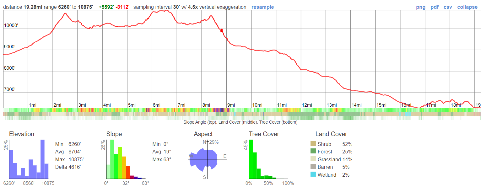
- Miles Hiked – 19.28
- Route Difficulty – 8
- Scenic Beauty – 9
- Solitude – 9
Video: Ruby Mountains, NV – High Route Hike Lamoille Canyon to Seitz Canyon
Ruby Mountains Hike Maps
Here’s the caltopo map of the Lamoille to Seitz Canyon High Route Hike:
Download GPX file for the Lamoille to Seitz Canyon High Route Hike
Pre-Hike Planning Notes
There are no fees or permits required to hike in the Ruby Mountains. Thomas Canyon and Terraces Campgrounds are available in Lamoille Canyon to camp the night before/after your hike, or simply pull off the road and camp in the National Forest land. You should also be able to camp in a van/camper at the trailhead for one night, there was nobody there to check or bother us. Spring Creek is the nearest anything, and 30 minutes away is Elko which is a big town for Nevada.
This hike is a route that I wanted to do on my 2020 Basin and Range Trail thru hike, but wasn’t able to fit in, logistically. My route along section 6 of the BRT ended at Roads End Trailhead in upper Lamoille Canyon. The route we will hike here is a route that connects upper Lamoille Canyon with Seitz Canyon, leading to the Powerhouse Trailhead in lower Lamoille Canyon. This route should be very scenic, and will offer a spectacular finish to an already great section of the BRT. The Ruby Crest Trail was nice, but I have a feeling this will be nicer.
This route is almost entirely off-trail. There were only a few sections of this route, like in Seitz Canyon, where a trail is marked on the map. On the ground though, it barely existed. Just a fading trail that hasn’t seen maintenance in decades. In other words, most of this route is off-trail, and there is some bushwhacking involved… mostly in Seitz Canyon. With that said, it’s an awesome route that is challenging, rewarding and gets you off the beaten path in the Rubies. The Ruby Crest Trail gets most of the traffic in the Rubies, but there are many other great spots here, such as Echo Lake.
This hike can be done a long day hike, but it would be best to split this hike up into two days, camping at Echo Lake. There are multiple excellent campsites along Echo Lake.
Three final things:
- Beware of the private land at the entrance to Seitz Canyon. That’s why the route goes along the hillside at the end to reach Powerhouse Trailhead. There is an active ranch here with a few homes.
- This hike can be done as a day hike, but it may take all day, as it did for us. Make sure to bring a headlamp, just in case. We wish we did…
- Water is abundant, you won’t hike more than a few miles without it.
July 17th, 2021 – Ruby Mountains, NV High Route Hike Lamoille Canyon to Seitz Canyon
Miles Hiked – 19.28
Elevation Gain – 5,592′
My friends Sam and Ken (2020 CDT thru hikers) will join me for this hike. Last night, we slept off the road in National Forest Land near Camp Lamoille at the entrance to Right Fork Lamoille Creek Canyon. Descent spot, good views of Lamoille Canyon especially at sunset.
In the morning, We drove Ken’s Explorer down to the Powerhouse Trailhead in lower Lamoille Canyon, then drove my van up to Roads End Trailhead in upper Lamoille Canyon. We’ll walk back to Ken’s Explorer today, and then he’ll drive me back up to Roads End to get my van.
We left the trailhead around 8am following a trail up Lamoille Canyon. Soon enough, we realized this one was taking us up to Dollar Lake instead of Lamoille Lake. We began hiking off-trail sooner than anticipated, and headed for a horse trail that runs higher up the hillside in the canyon. I know this, because that’s the route I hiked down from Liberty Pass last year on my BRT thru hike.
The off-trail stuff here was mostly our fault for not taking the horse trail in the first place. I should have known better. Now, we spent some time walking through tall bushes and grasses, thankfully not crazy thick.
We hit the horse trail and followed that a ways uphill. We stopped for a quick break at the spot where we leave the horse trail and begin out hike uphill to our off-trail pass below Snow Lake Peak, leading over to Thomas Canyon.
Sam had just flown to the US from England a few weeks ago, and had bought some cheapo Walmart shirt to hike in for the summer. It was a long sleeved, collared shirt, the kind your cheap dad might wear when he’s forced to dress up. Ok, me too. I joked with Sam about this, and the need for a tie to complete the ensemble. After all, it looked like he was here for a business interview. Well, from the waist up, anyways.
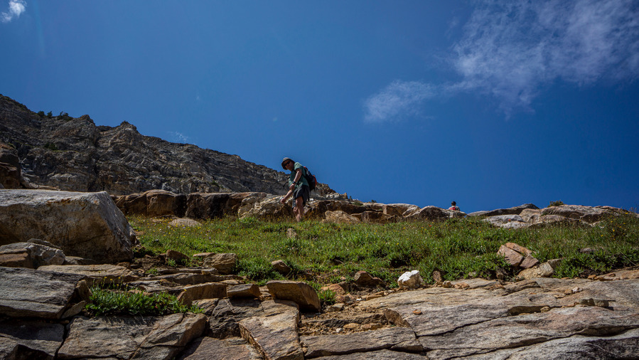
The route up to the pass was steep and had us winded, but it was an easy walk. No bushwhacking, no huge extended boulder fields, it was mostly just a steep incline.
At the top of the pass, we enjoyed great views down into Lamoille Canyon and Thomas Canyon. To the south was Snow Lake Peak. The Snow Lake Peak was eroding was very obvious, and we joked that the Forest Service needed to come out here and “repair” these crumbling mountains. “A few more years and we won’t even have a Snow Lake Mountain”. Ha!
We stopped for a break on the pass, soaked in the excellent views and scouted our next move. The plan was to stay high up on the ridgeline and contour around the mountainside towards Mt Fitzgerald. It looked kinda steep though, and we contemplated taking a route a bit lower, meaning more elevation gain and climbing.
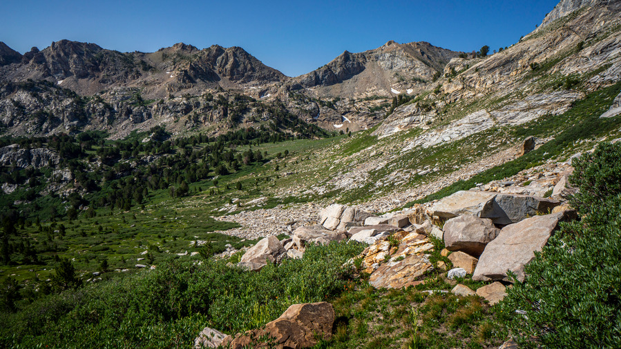
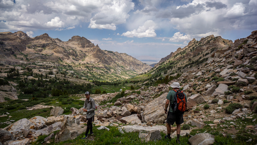
The descent form the pass into Thomas Canyon was steep, but short. Below the pass, a green and grassy patch of land with water flowing through it. A nice hike here.
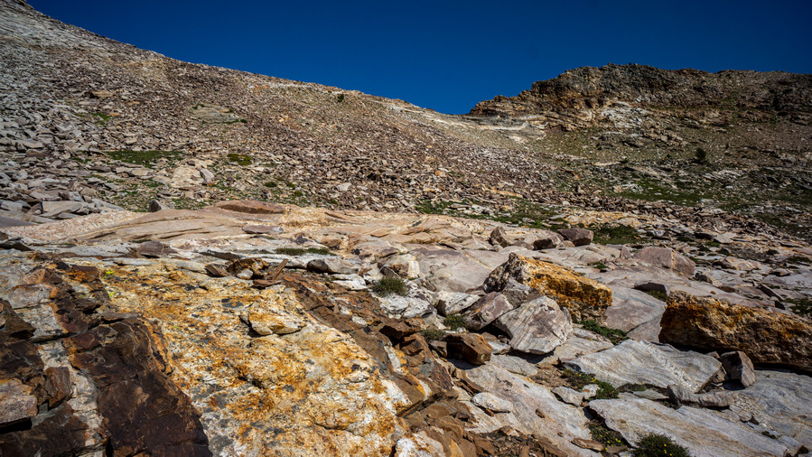
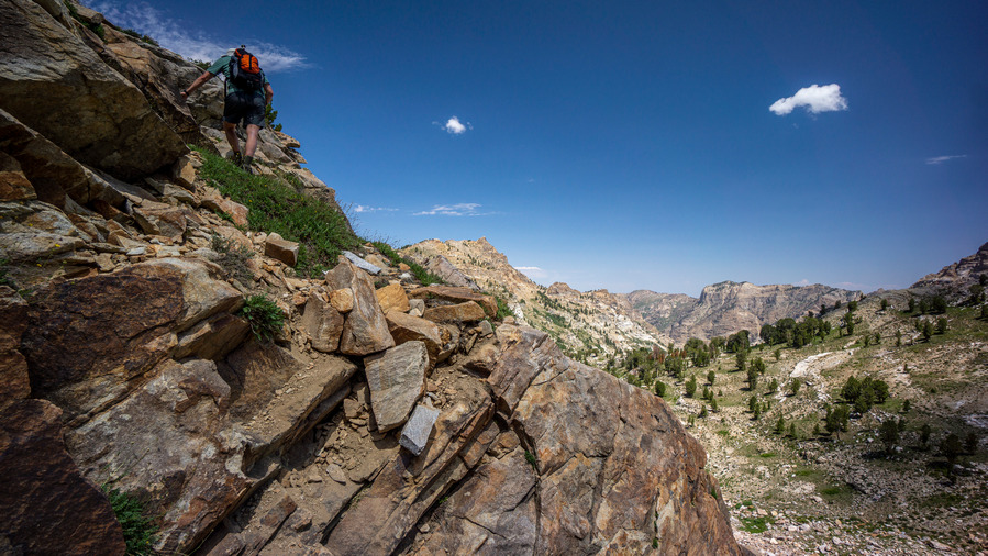
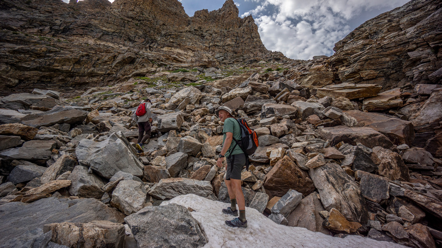
Next we climbed back up in elevation some to reach our desired contouring line. This was intermittently hard/easy. We’d be climbing up steep, loose rock and boulders one minute, then walking short sections of flat, easy going terrain. All with great views of Thomas Canyon, though.
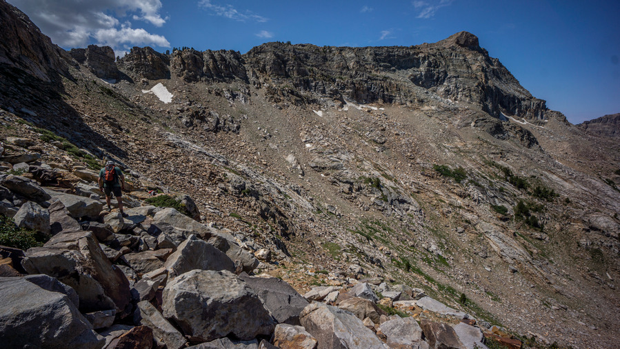
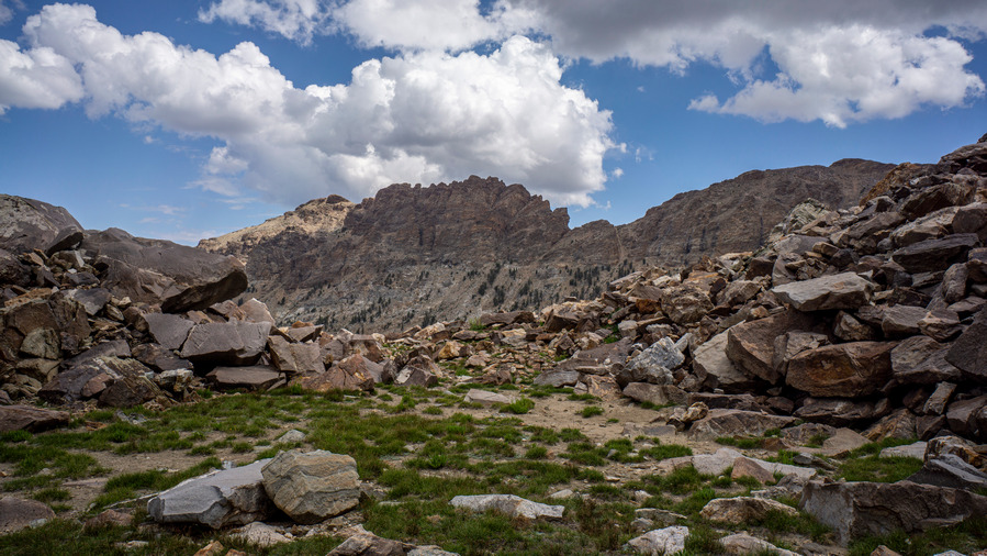
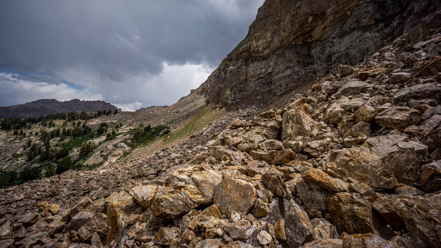
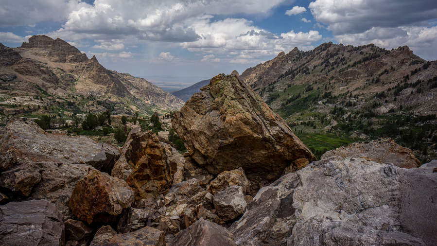
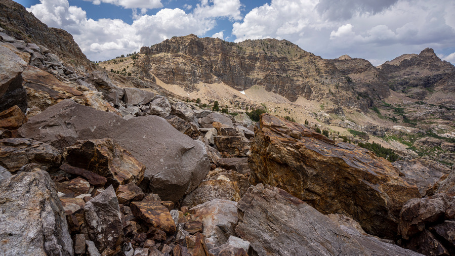
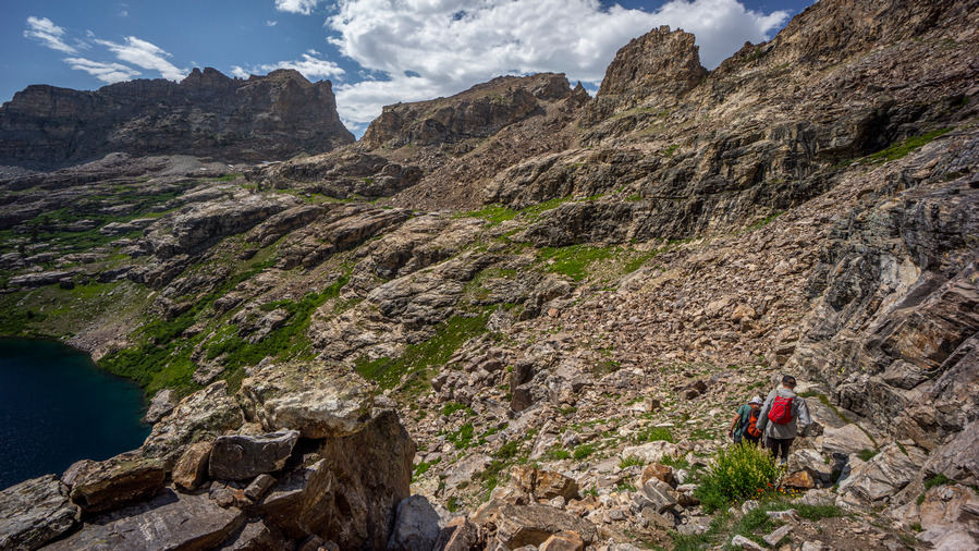
When we rounded the northwest-facing ridge before Mt Fitzgerald, we were met with an entire mountainside filled with boulders. Not what I like to see, but Sam loves the stuff. It was a big view though over Thomas Canyon. It was very green down below, but we were well above that, in the boulders.
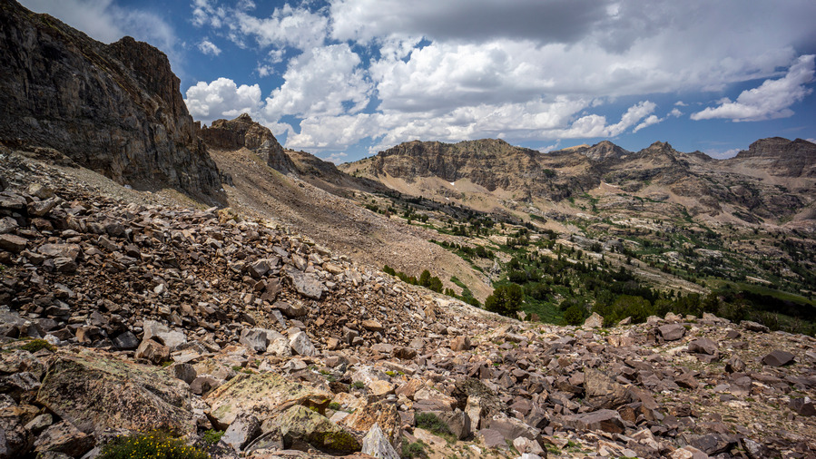
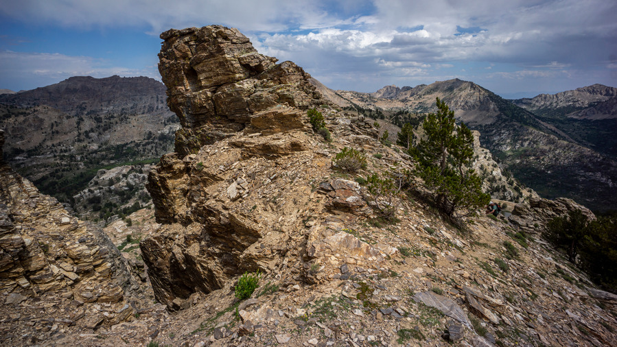
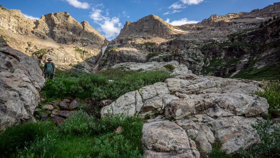
The mountain scenery here was very impressive. The hiking here is more akin to a Sierra High Route or Wind River Range High Route. We are surrounded by towering mountain peaks and rock faces, in a sea of boulders. Slow going, but worth it.
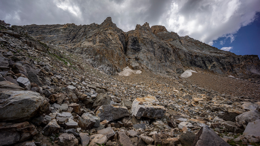
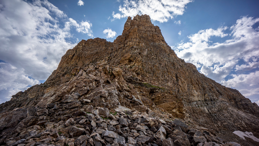
Directly below Mt Fitzgerald was an imposing place to be. The peak towered above us, as we worked our line around the base of it. Even through the boulder fields along the slopes, we routinely cross trickles of water and small streams. There is no shortage of water here.
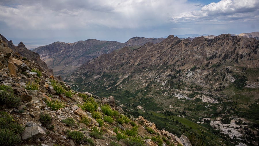
After Mt Fitzgerald, we went up and over a ridgeline separating Thomas Canyon with Right Fork Lamoille Canyon. The same excellent scenery extends into this canyon as well. Superb views here.
I came across a pile of a few boulders that had some minerals that caught my eye. I’ve been seeing a lot of large books of mica around, but that was it until now. Here though, in upper Thomas Canyon below Mt Fitzgerald, I found garnets. They were embedded in the host rock though, and I couldn’t do much with them without tools to extract them. Still, a cool find. Fun fact, the early explorers who first passed through the Rubies named them the Ruby Mountains because they thought these garnets were actually rubies. And now, I can see why.
Right Fork Lamoille Canyon continued to impress us the entire route around its upper slopes. We have been walking mostly on boulders for quite some time now, though, and it’s tiring.
Eventually, we reached a saddle in between peaks 10,528′ and 10,882′, at the top of Right Fork Lamoille Canyon. The wind was really picking up now. We followed the ridgeline towards No Echo Knob.
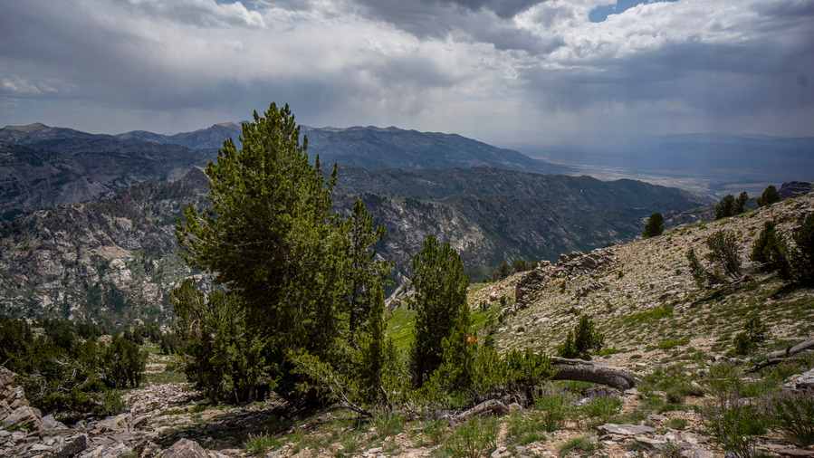
Along the way up to the ridgeline, we enjoyed excellent views of the Ruby Mountains. There were some sheer cliffs to stand at the edge of overlooking Right Fork Lamoille Canyon. It looked like the potential for rain now, although nothing directly nearby threatening us at the moment.
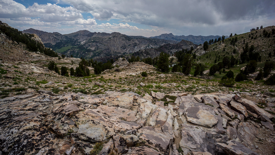
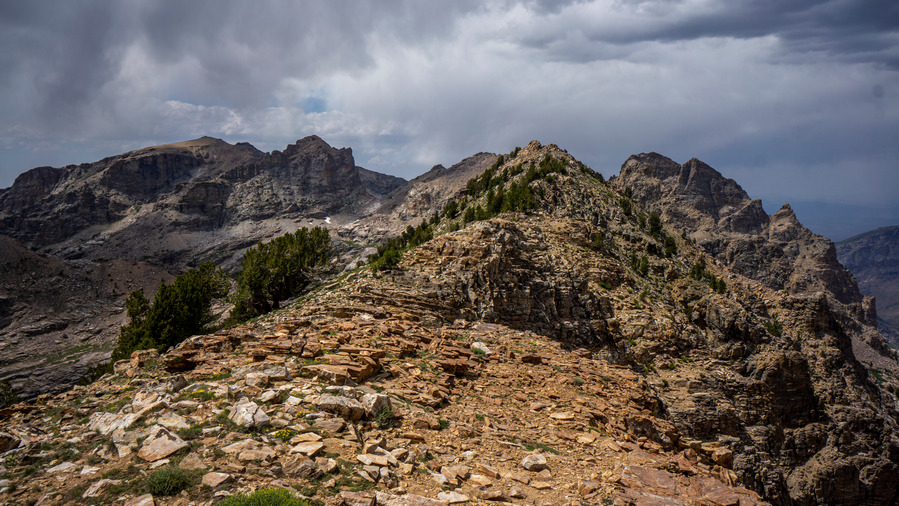
At the top of the ridge leading to No Echo Knob was perhaps some of the best distant views of the day. It was our most proper ridgewalk of the day, as well. The views were just stunning in every direction. A truly magical place.
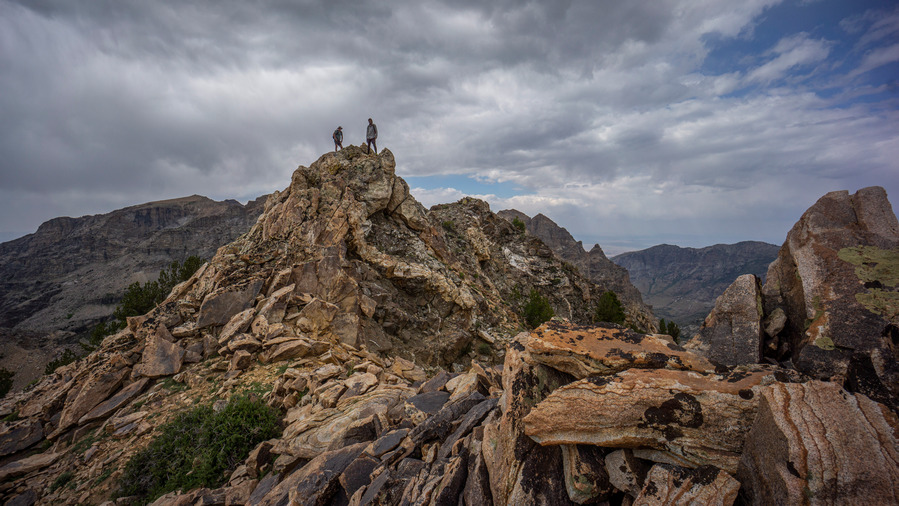
We summited No Echo Knob, high point of the ridge. It was here that Sam, hiking for the first time in Nevada, realized the hidden gem that he’d stumbled upon. “Why is it that so few people visit this place”, he wondered. Nevermind why, we have it to ourselves today.
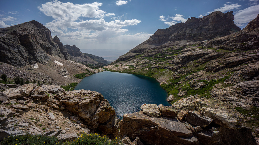
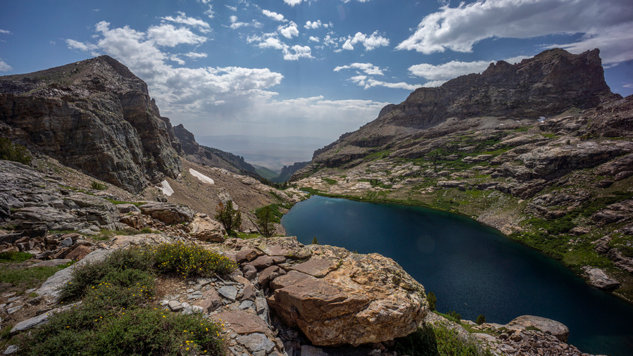
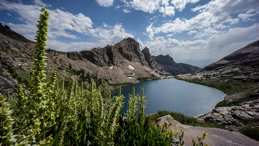
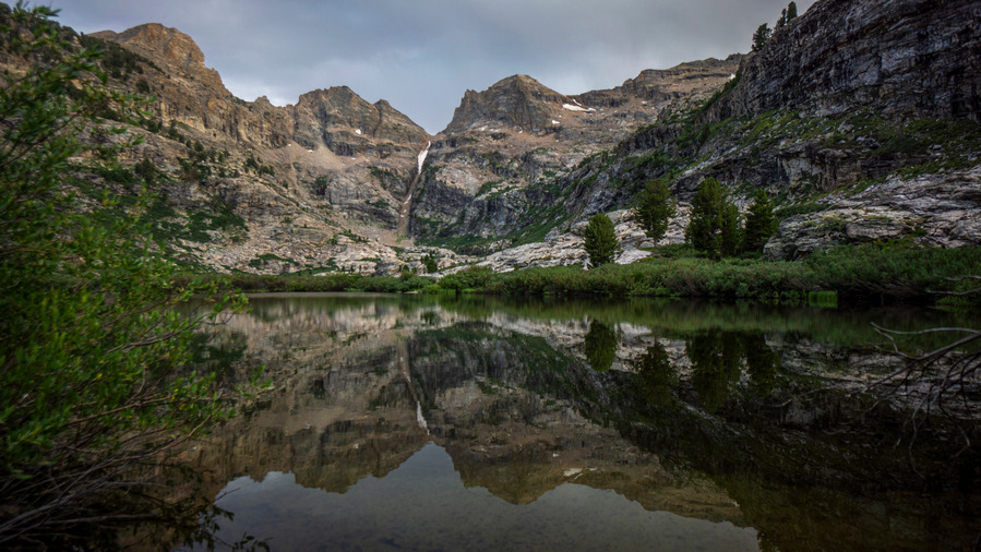
The descent form No Echo Knob to Echo Lake was outstanding. Echo Lake is hard to ignore; it’s surrounded by a tall, steep cirque of mountains, and the lake itself is a deep blue color. It’s large and looks to be deep. It certainly commands your attention, and respect.
Our original plan was to drop down to the lake to traverse around it’s east shore, but from our elevated position, we saw a better route. We’ll stay higher above the shoreline, and contour around the lake. This way, we minimize our total elevation gain traversing around it. There looks to be a route we can follow, but who knows. Let’s try it!
The entire hike around Echo Lake was stunning. The views were constantly changing, with seemingly better and better angles and lighting. The hike itself wasn’t too hard. There was no real path to follow, but it was easy to pick from numerous lines that traverse the east side of the lake.
The views from the extreme east side of Echo Lake were probably the most impressive to me. Here, the lake looks the biggest, and one has a great view down Echo Canyon. Lining Echo Canyon is Mt Silliman, peak 11,330, and Echo Box Peak. These peaks, and the ridgelines leading up to them, form huge, towering walls above Echo Lake, making this the beautiful place that it is.
We stopped along a small creek for a break. There was a great camp spot here, overlooking Echo Lake. If only we were camping!
After the break, we continued traversing around Echo Lake. Of course, we had to stop and test the echo properties of Echo Canyon at some point. The echo is indeed impressive! We also took the time to test out our skiing skills on some of the snow slopes. I made a successful run down a hundred feet or so, which is always fun to do in shoes.
After contouring around Echo Lake, it was time to head up to a pass below Mt Silliman. From here, it was a climb of about 350′ to the top. It was a very manageable climb up boulders, and we made quick work of this one.
At the top of the pass, we had our first view into Seitz Canyon. Nice, but the north face of Echo Box Peak on the Echo Canyon side was more impressive.
Now for the route down into Seitz Canyon. Our plan was to contour around the north face of Mt Silliman and work our way down a diagonal line Seitz Lake below, avoiding the steep and narrow Seitz Canyon route which is more direct. I thought it would be best to avoid Seitz Canyon when planning this route from home, based on the slope angle shading/steepness of the grade, but now that we’re here, it does indeed look doable. Sam, Ken and I discussed our options, and we settled on the direct route down Seitz Canyon.
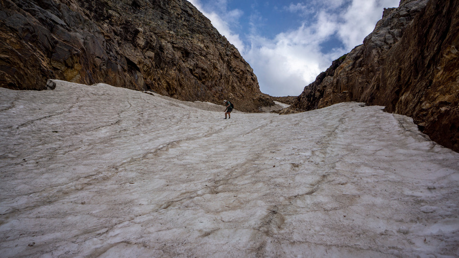
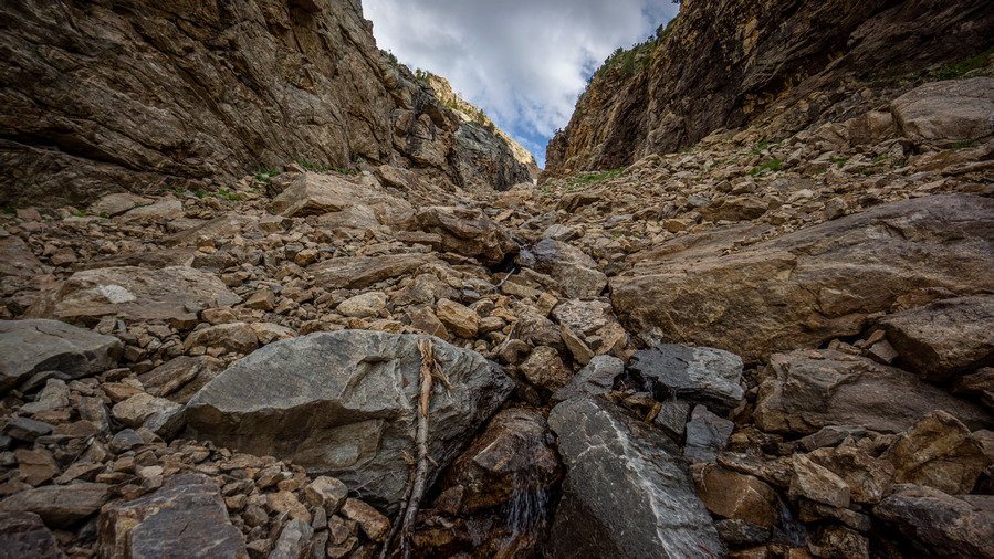
So from the top of the pass, it’s 1400ft down this steep, narrow chute filled with snow, ice and boulders. We traversed a sketchy section of loose boulders just to get down to the snow field in the center of the canyon. Past the boulders, we take our first footsteps in the snow. The slope angle is steep, seemingly close to 45 at times. Sam went first, kicking steps on his way down. I went next, and Ken at the top.
The snow was mostly soft enough to kick steps in. Ken and I had the advantage of using Sam’s steps to walk down into, without expending as much energy as Sam. However, it was still slow and tedious. I took out a trekking pole for the first time today, almost never using them anymore, except to support my tent. But here, a trekking pole was great to have. I used my upper hand to balance myself in the snow as I hiked down, which makes your hand quite cold soon enough. So then, I’d switch sides, putting my opposite leg first as the leading leg, giving my other hand a chance to warm up again. Yeah, didn’t think of bringing gloves for this hike. Nor micro spikes or ice axe, but having them here would have been nice.
No way around it, it was slow going down Seitz Canyon. Descending the snow field was enough to get your heart rate up a bit, but also not feel overly worried about the dangers of falling. Maybe that’s just my confidence in the snow. Either way, this slope was not glissade-able… safely.
There were two sets of snow fields in the chute. The upper one was the steepest. There was a short section of boulders separating the two snow fields, and then it was on to descend the lower one. Sam was below and hollered up that it was icier than above. Ken, having hiked with Sam on the CDT in 2020, joked that Sam doesn’t kick great steps anyways. It was fun to see the dynamic between these two, it was the first time I hiked with them together.
Past the second snow field, we were roughly halfway down the chute. It’s all steep boulders here now, and I wondered which I would rather have; the boulders, or the snow. I say, the snow.
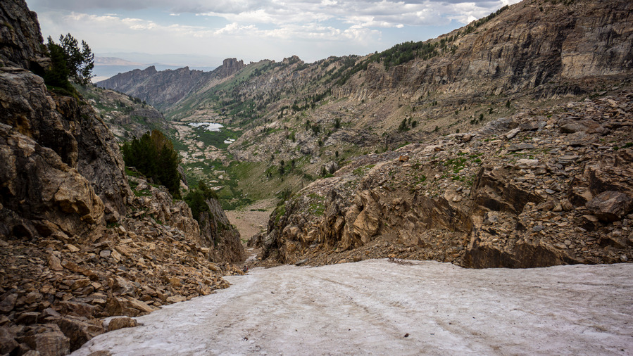
We took a break near the bottom of Seitz Canyon, and I ate a snack. I hadn’t eaten in several hours, and really needed the boost. I was indeed feeling better now. We exited Seitz Canyon on a bit of a high, looking back at the increasingly crazier looking chute we had descended. I let out a loud scream into the canyon, which had an incredible echo to it with a delay of a few seconds.
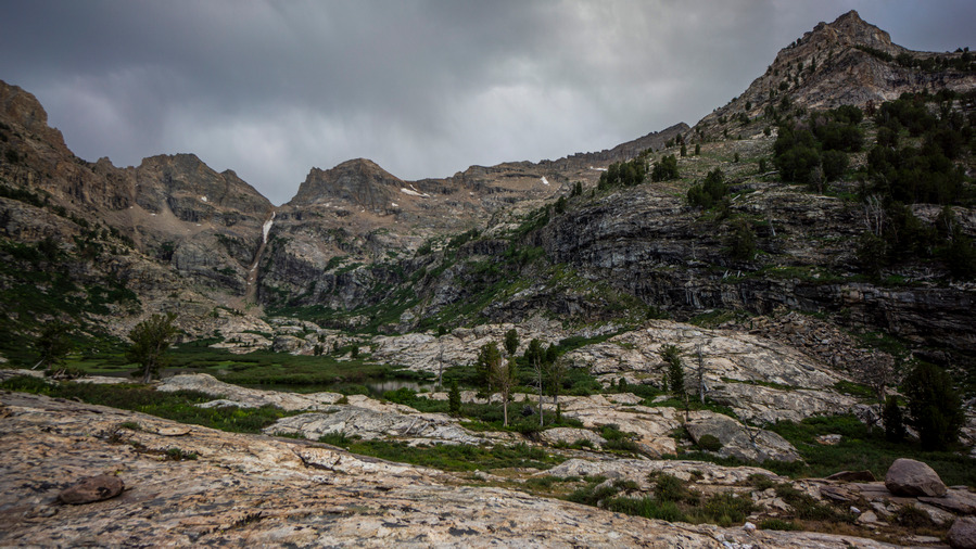
As we covered distance downhill now and entered a flat, open valley above Seitz Lake, we entered a new phase of the hike… bushwhacking. There will be a lot of it in Seitz Canyon, unfortunately. The upper section of the canyon is thick and wet. The views looking back were outstanding, though!
The bushwhacking continued to Seitz Lake. There really wasn’t any good access to Seitz Lake, surprisingly. The shoreline was thick with vegetation. The view sure was nice looking across the lake and up the canyon, though. We assumed the trail would become more obvious downhill from here, but that was wishful thinking.
Below the lake, we continued to be fooled into thinking we had stumbled on the trail every time we came across the slightest hint of a beaten path. However, the setting sun created an extremely pleasant sunset this evening. We had a few sprinkles briefly, but the cloud cover provided the backdrop for those oranges and reds.
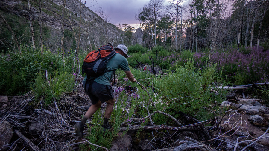
We came across a good sized waterfall around the 8200′ mark as we continued to hunt for the trail. We’re right on it according to the map, but we see nothing 95% of the time. It’s a steep descent down the hillside in thick brush. We reach the creek below and stumble upon a ribbon on a tree. You can tell the forest has been cleared out a litter wider in places, but that it’s overgrown for decades without maintenance.
The trail fades in and out and we continue to doubt our ability to stay on whatever the trail is supposed to be. We continue to surprise ourselves though, and routinely see signs that we are on the right path, even if the path is now gone. We saw more ribbons on the trees, scattered randomly along the way, but it’s still a bushwhack.
We hit a creek bed that we followed for a while, which was dry. However, it was full of tress, plants and debris that made this an obstacle course.
Losing light now, Ken stumbles in the thick brush and falls. He’s alright, but a symbol of how were are all feeling… tired. After a helping hand, he’s up and at it again.
Day turns into night as we continue hiking down the canyon. Sam and I have our phones for light, and Ken also has a headlamp. So, one headlamp for the 3 of us. We hit a slightly better path lower down in the canyon, then some type of 4×4 road.
Now we reach the lower reaches of Seitz Canyon, or Rabbit Canyon as the map now marks it here. This is where the private property begins. Following the road out into the valley means walking through private property. There is a ranch here too, and the road goes right behind a couple of homes. So, to avoid them you must contour around the hills above the private property. Fortunately, in the lower reaches of the canyon here, it’s not thick and green, it’s drier and more barren. Open and easier to walk. Still, it’s dark now.
Pick your poison here… walk the hillsides in the dark or drop down to the private property after passing by the homes and walk a nice road out to Lamoille Canyon. I won’t tell you what to do. Just be aware of the property lines, is all. Use the caltopo app and turn on the public lands layer.
We reached Lamoille Canyon sometime around 10:30pm, having hiked a solid two hours in the dark. That’s a 14.5 hour day of hiking for us. It was a very dark night, too. We could barely see Ken’s Explorer until we where right up on it at the Powerhouse Trailhead.
Ken drove us up to the Roads End Trailhead, and we slept in our vehicles for the night. What a killer hike!!
Lamoille to Seitz Canyon Route Verified As New Leg of the Basin and Range Trail
The route we hiked today was challenging, but repeatable. It was not technical nor was there any real exposure. There is plenty of water, excellent camping and outstanding views. Plan to bushwhack Seitz Canyon, though.
So, I am happy to report that the hike we did today will become the new “standard route” for the Basin and Range Trail to end Section 6. The alternate route would be to hike down Lamoille Canyon, or simply hitch down. The route we hiked today was easily equal to the scenery along the Ruby Crest Trail, if not greater. And not only greater scenery, but far more rewarding. Anyone can hike the well-manicured Ruby Crest Trail, but the off-trail stuff we did today provides a greater adventure in my book. The standard BRT route will still hit the Ruby Crest Trail in it’s entirety (except the final mile or two to Roads end trailhead in upper Lamoille Canyon), and so this new route will only enhance the Basin and Range Trail hiking experience.






























Leave a Reply