Mojave-Sonoran Trail Thru Hike 2021 – Section 3: Callville Bay to Boulder City

Mojave-Sonoran Trail Thru Hike 2021 – Section 3: Callville Bay to Boulder City
Mojave-Sonoran Trail Section 3 Map
Mojave Sonoran Trail Thru-Hike Section 3 – Callville Bay to Boulder City, 40 Miles
The above map only represents represents section 3 of 9 on the MST. For a more detailed map and general route info, see the Mojave-Sonoran Trail Guide page.
Mojave-Sonoran Trail Section 3 Journal
NOTE: When I hiked the Mojave-Sonoran Trail in 2021, the only section of the route I skipped was a 30 mile segment at the send of section 3. I went back to re-hike section 3 in it’s entirety in March 2022 and took a better route than my first attempt. Here, I’ll provide my journal entries and photos for BOTH my first attempt (Nov 21) and second attempt (Mar 22). Section 4 of the journal entries will continue the chronological presentation of this route as it was hiked in 2021.
Section 3, First Attempt – Nov 2021
Day 10 – November 12th
Miles: 11 (half day)
Animals Seen: 3 bighorn sheep
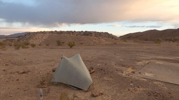
The wind picked up shortly after I laid my head down to rest last night. It was only 10 or 15 mile an hour wind gusts, but this was enough to blow the tent over in the soft soil. It would be foolish of me to have not anticipated this possibility, and I had already put a few rocks on top of my tent Stakes. I just didn’t use heavy enough rocks. I had to get up and search for larger ones, and build cairns on top of each stake. This did the trick.
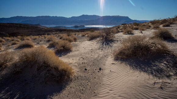
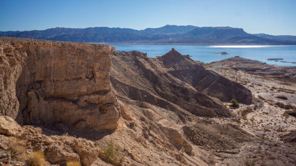
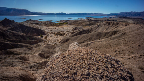
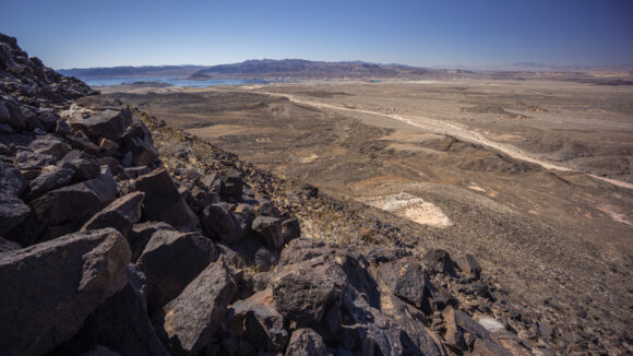
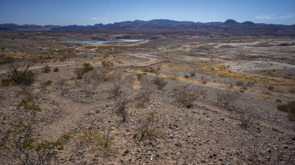
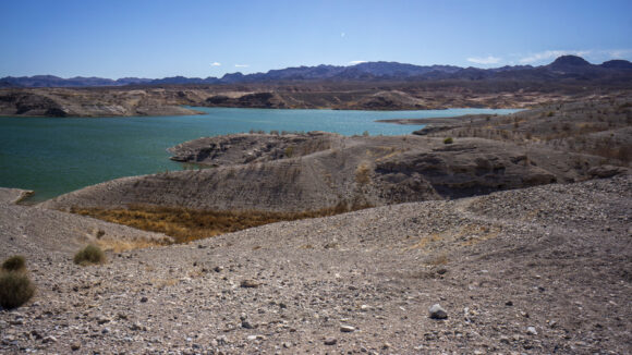
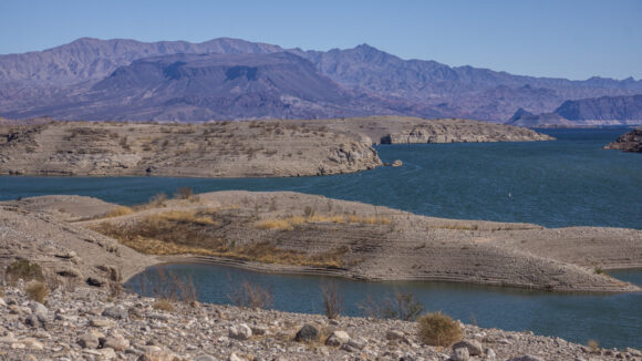
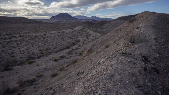
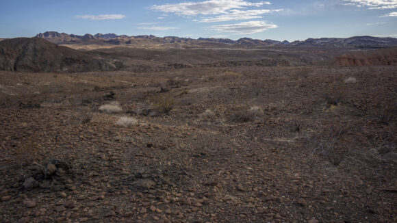
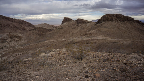
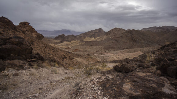
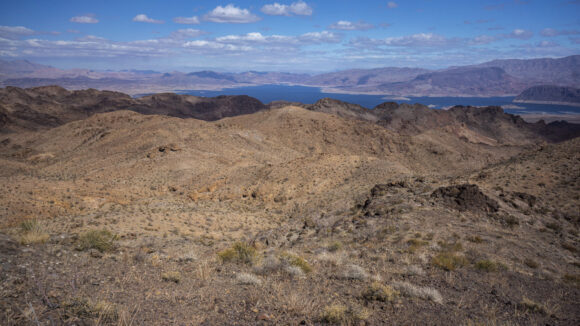
I got going at the usual time, around 6:30. I climbed back up to the Ridgeline I dipped down from the night before. The landscape ahead of me was daunting; a series of washes that must be crossed, not followed. Repetitive and rather dull. Lake Mead is clearly in sight now, no longer hidden by tall Peaks or great distances.
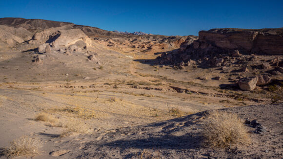
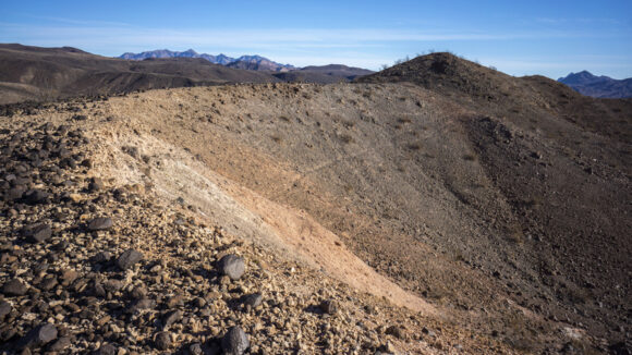
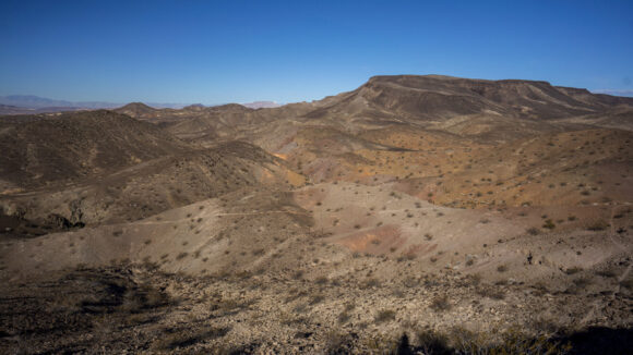
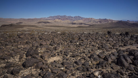
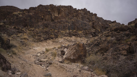
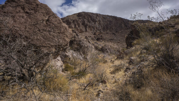
Most of this area consists of soft soil littered with volcanic rock, mostly basalt. As I progressed Westward, the basalt lessened, and it was mostly just softer sand. I dropped down into one wash that was pretty cool, and made me wish I was walking more of these. But again, I am just crossing them, not following them. I saw one bighorn sheep run out of one of these washes as I made my way into it.
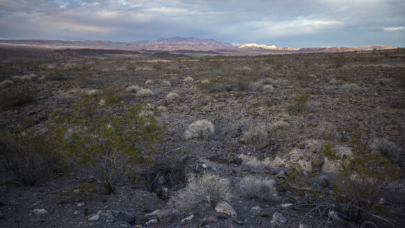
I probably should have stayed closer to the route I planned, but in the moment I decided to just walk Westward, wherever I felt like at the moment. For some reason, I thought I might be better off taking a route that stays closer to the Shoreline. When the terrain wasn’t cliffs, this worked well enough in the Jimbilnan wilderness. Unfortunately, on this side of Lake Mead it was much sand year, with a lot more vegetation. In other words, it was a nightmare.
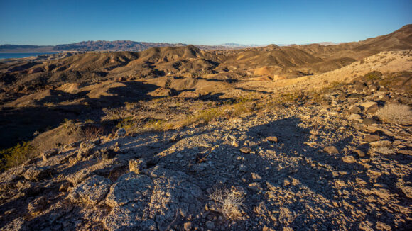
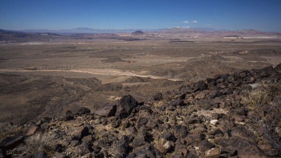
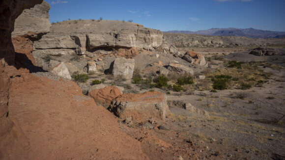
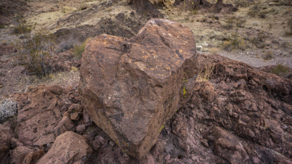
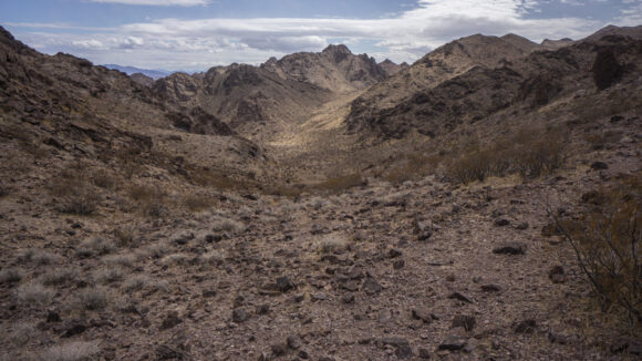
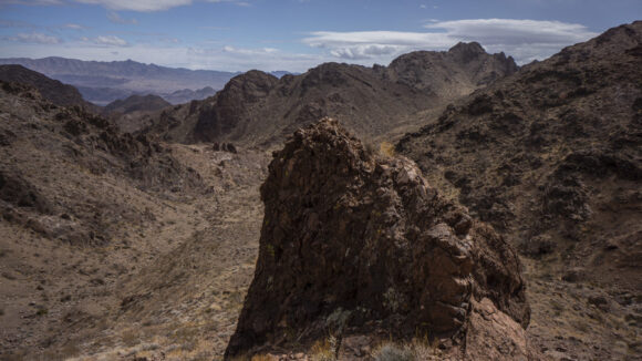
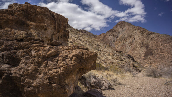
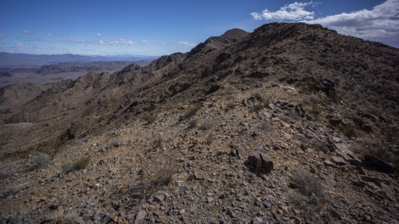
In between the deep sand and some subpar miles, there were a couple of ridges and overlooks which were pretty cool. There were some interesting rocks up here too on one of these ridges.
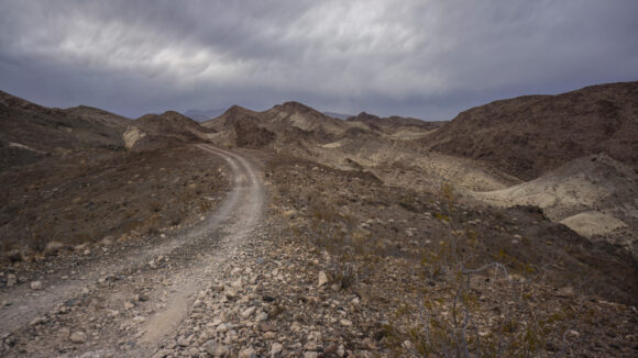
I trudged through a few more miles of crappy terrain, both bad to walk and less than scenic. I reached boxcar Cove, and now there were a series of dirt roads leading in random directions, along with a plethora of car campers. Even the roads were crappy, deep and loose gravel. Today’s walk was really becoming a sufferfest.
Ultimately, I made the decision to just walk one of the dirt roads up to North Shore Drive. This is the main paved road that runs through Lake Mead National Recreation Area. I was really not happy with this section at all, and didn’t feel like I needed to prove to myself that I could walk through it. Perhaps with a little bit more time and research, I could have come up with a better route. But for now, there’s no reason to walk through this section, other than pure stubbornness.
As soon as I hit North Shore Drive, a vehicle was pulling out, in the direction I wanted to go. I put my thumb out to Hitch, and hopped in their pickup truck bed. I didn’t really have a plan yet, this all happened so fast. Really, I should have just gotten a ride to the point where Northshore Drive Meats Lakeshore Drive at Las Vegas wash, but on a whim, I said Boulder City. So that’s where they took me, to the Road leading to the marina, about 3 miles out of town.
I started walking the three miles into Boulder City, and walked about a mile before getting a hitch into town. Hungry and thirsty, I made my way to Jack In The Box for lunch. Then, I walked over to the El Rancho Motel, where my bounce box was waiting for me. Unfortunately, they were booked up when I got there. I grabbed my bounce box can hit the street.
I walked into a few more motels, but none of them had any vacancy. So then it was time to Google motels in Boulder City, and I started making calls. The quality in about 2 miles out of town, right where I came from, was the only one that had any availability this evening. I made my reservation and walked the two miles to the hotel.
I spent most of the afternoon and evening battling a wicked food coma from lunch, and pretty much just zoned out. This is somewhat typical of me, after spending few days exerting yourself out in the heat, once you reach the comfort the indoors, and air conditioning, the body just seems to have a way of saying “I’m done”. Prior to this, I was feeling great, not weak, worn-down or hindered in any way.
Day 11 – November 13th
Zero day
Now it’s time to figure out my next move. Besides the fact that I skipped about 30 Mi of this 40 Mi section, I had a lot of other logistical things to work out. Firstly, Boulder City is fairly isolated from the rest of Las Vegas, and without a car, I pretty much need to rely on Uber. There weren’t any Uber cars available yesterday, but this morning it seemed they were. So, I ubered in to Henderson to Walmart and bought a new Sawyer filter. Then I grabbed lunch, since there’s nothing nearby my hotel. This means I won’t have to walk 4 miles round trip into Boulder City later, or order delivery.
I had my bounce box sent to Boulder City, so now it’s time to back up all of my photos and video footage since the beginning of the hike. That way I can clear my memory cards for the next couple of sections.
One major downside of using a bounce box is that the post office needs to be open in order to mail it back out. Thus, arriving in town on the weekend means that I will need to stay until Monday so I can mail it out again. In this case, that means three nights in a hotel, and for some reason it’s really busy this weekend in Boulder City. After taxes, $175 a night at a hotel really adds up. This is definitely not the cheapest way to do a thru-hike, but there are few good options when one is committed to documenting the journey. The other is to just have a shitload of memory cards, which is starting to look like my next investment to avoid relying on a bounce box.
Day 12 – November 14th
Zero day
I did very little today outside of the hotel room. I backed up all of my photos and videos, sewed up a pocket I have on the shoulder strap of my backpack that holds my GoPro, ordered a new set of gloves for climbing and bushwhacking, and a slew of other logistical chores to make sure this hike run smoothly. Very uneventful, but also, very productive and very necessary.
Tomorrow I will head out for the next section, 65 ish miles to Searchlight. I will say that I never seem to sleep that well the night before I leave for another section. My mind races, worrying about all of the things I might have forgotten, and second-guessing my route. Tonight was no different.
Section 3, Second Attempt – Mar 2022
March 9th 2022
Miles: 22.7
Animal Seen: None
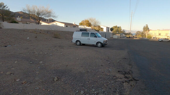
I was camping in my camper Van about 20 minutes South of Boulder City this morning. I had a couple of miles of driving down a rough dirt road before reaching the highway. I stopped at McDonald’s for breakfast, and then drove over to the Quality Inn. I stayed Here last November when I finished my 1st attempt at section 3. Today though, I will just park in the parking lot somewhere and hope it’s fine to leave overnight. Better than leaving it at a trailhead, I’ve heard some horror stories about break-ins in the Vegas area. From here, the Uber ride I scheduled Yesterday for 7 AM Today arrived on time. My plan is coming together. Not bad, considering I threw this plan together the day before.
My Uber ride dropped me off at Callville Bay campground, where section 3 of the Mojave Sonoran trail begins. I began hiking at 7:30 and headed up a familiar looking Mundane Hillside along the road.
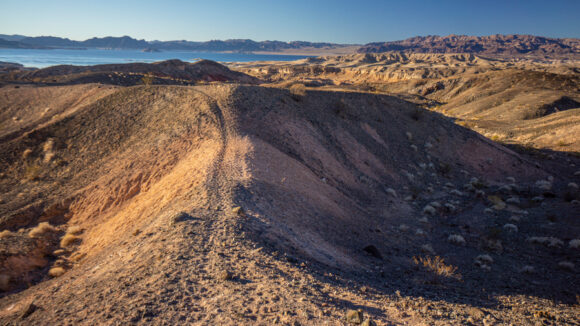
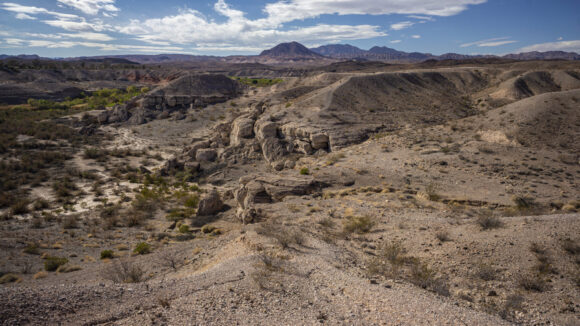
Before long, I was overlooking my campsite from my 1st attempt at section 3 Down in a colorful wash. There’s a network of small ridges, seemingly running every which way. Every ridge has a game trail along its crest, making for relatively easy walking. Lake Mead glimmers in the sun light, spot a mile away.
I follow a series of ridgelines as long as I can, until I need to Change course and Cross a few of them. Small undulations, but Frequent. Fortunately, the terrain is not too steep here.
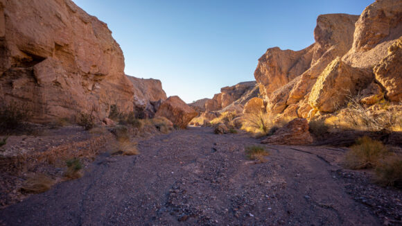
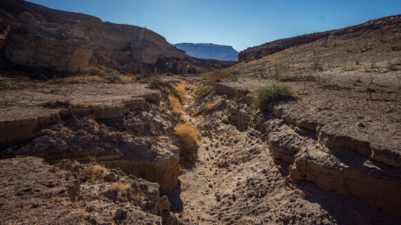
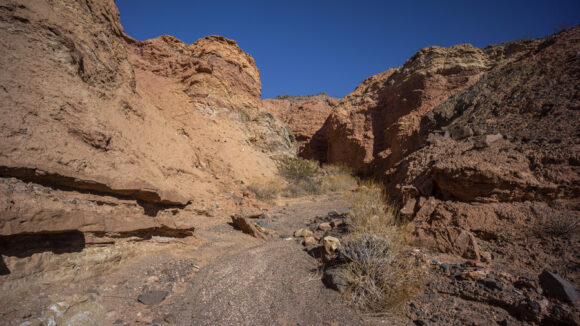
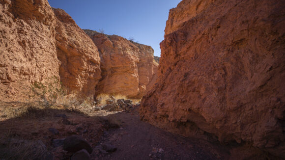
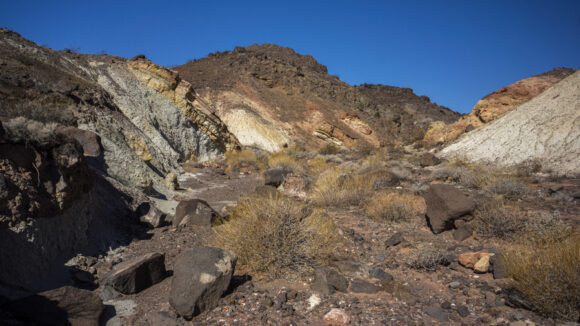
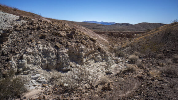
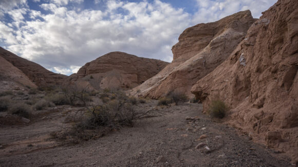
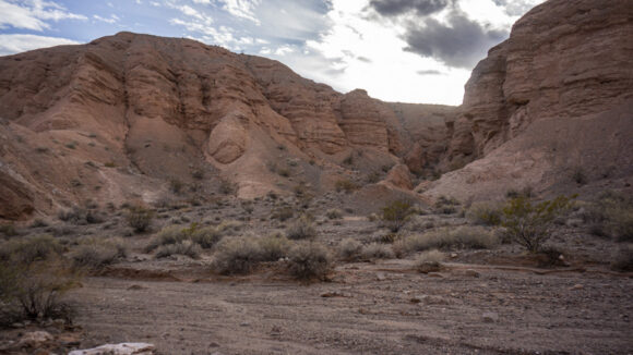
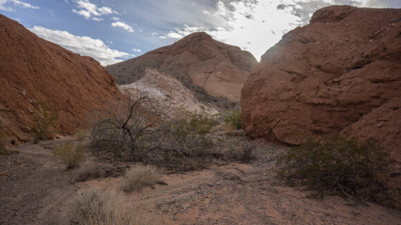
Soon I dropped down into a deep and colorful wash. It’s not that deep really, but the deepest in this general area. I was here in November on my first attempt, but I’ll be taking a different route this time, up the canyon instead of down. I remember this canyon being really impressive on my last visit, and so exploring farther up is good with me.
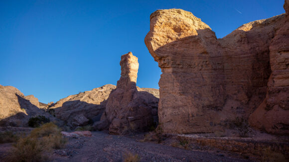
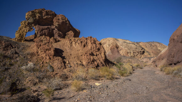
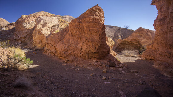
So now follow this wash uphill to the base of black Mesa, which I’ll climb later this morning. For now, around every turn the scenery confined to impress. Red and orange sedimentary rocks along the wash carved by the flow of water. Really cool.
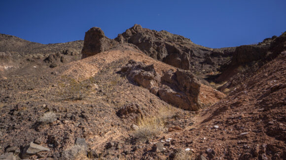
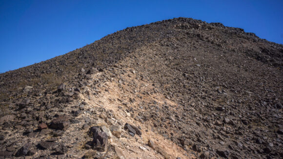
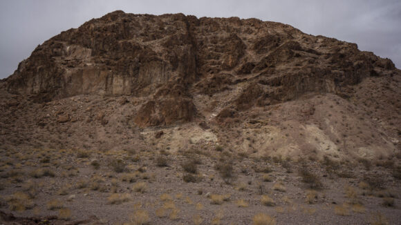
Near the top of the Wash, I got my 1st view of black Mesa up close. It was a sea of boulders along the slopes, With no path to follow. Up we go.
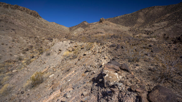
The climb up was 700′ total. However, it really didn’t seem that bad. The slopes are steep but quite manageable, especially considering the very stable rocks and boulders that line the hillsides.
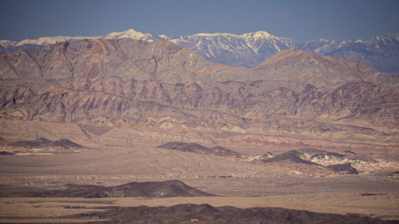
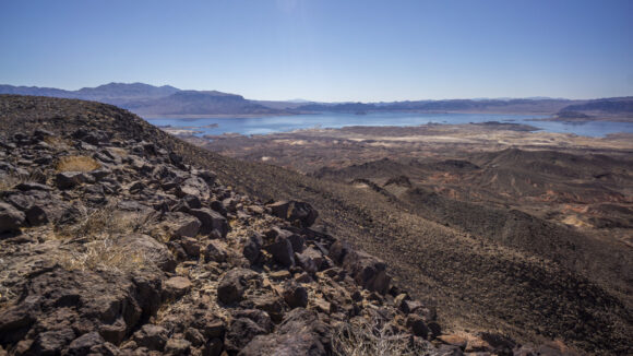
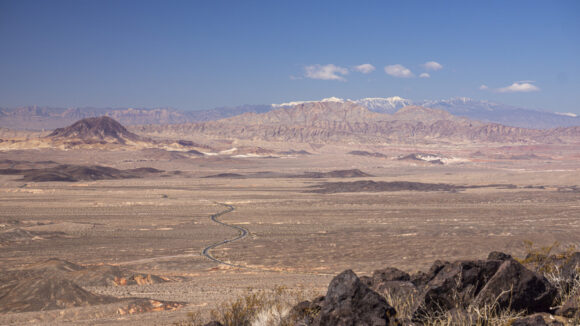
I made quick work of the climb and gained the summit. Because it’s a Mesa, the summit was barely distinguishable, but marked with a small pile of rocks. There was no summit register here. Good views though, especially West towards the Spring Mountains. It had recently snowed at higher elevations, and at 11900′, and its peaks were snowcapped. A beautiful sight in the desert, and from a comfortable 70゚down here at 2200′ elevation. This is the desert rat’s preferred way to enjoy snow, from a distance.
Walked the top of the Mesa for a short ways before finding a different route down. The descent was steeper than the ascent, but at least here there the rocks and boulders were very stable. Soon enough I was down and walking the wash below.
I only followed the wash briefly, then it was time to head up-and-over a series of parallel ridges to make my way to NorthShore road. The ridges were very small, but there was like 10 of them. I could see vehicles on the road in the distance, growing closer.
Next, I had a roadwalk of about a mile on Northshore road. In doing so, I will bypass a lot of the soft sand and crappy hiking that had me frustrated on my first attempt at section 3. This, along with the good scenery, made the road walk much more palatable.
Next I walked a long dirt road that led to government wash Campground on lake Mead. Few of the roads here go in the direction that I would like them to go, but this one took the perfect trajectory. I made quick work of this walk and appreciated the ability to start covering some ground.
Closer to lake Mead, a sea of RV campers lies ahead at an area called Government Wash. All of this would have been under water in the past, but now the “camping are” just keeps moving with the shoreline. So, there’s plenty of spots here to camp, if that’s your thing.
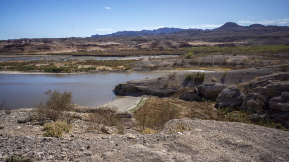
This is the extreme Western end of lake Mead, and currently where Las Vegas wash dumps into lake Mead proper. The spot where Las Vegas wash meets lake Mead is constantly changing based on the water levels of lake Mead. It would have been several miles upstream when the lake was deeper. I enjoyed the views of the lake and especially looking back East towards black Mesa, which I had walked I had walked just an hour and a half earlier.
After leaving the last of the campers behind at Government Wash, it was time to head cross country again. Here, a series of a series of ridges and washes run perpendicular to Las Vegas wash. I want to hike parallel Las Vegas wash, meaning I need to go up-and-over every single one of them. And here, they were larger ups and downs.
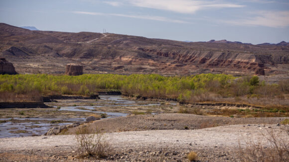
Alongside my route, there were occasional pond and pools of water that appeared to be separated from the main body of Las Vegas Wash. Protected little “beaches”. Nearby, large areas of cracked mud, evidence of a once higher water level. Some of the cracks in between the mud were 18″ deep!
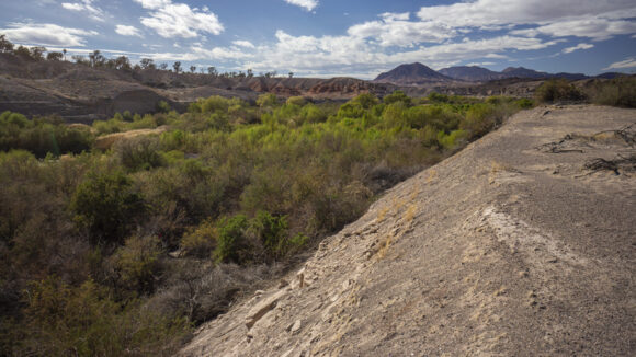
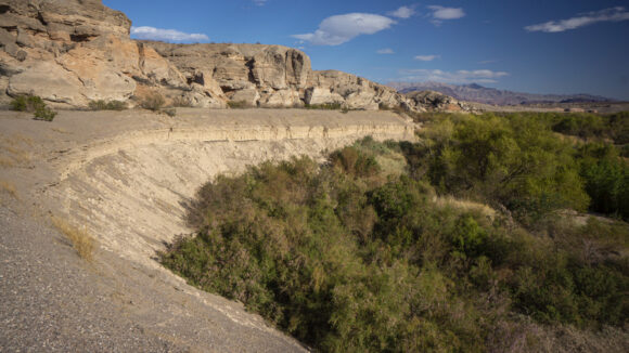
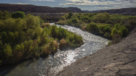
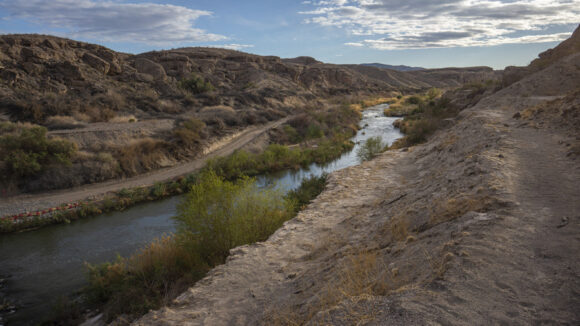
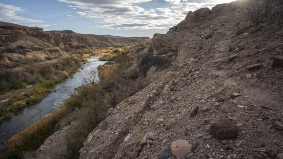
After a couple of big ridges, things flattened out a bit. I’m now running parallel to Las Vegas wash and separated from it by dense brush. Fortunately, there is a route that stays high above the thicket, and provides an elevated view above the river. I could see upstream, and it looked like this route continues along a very narrow shelf at the base of some sedimentary cliffs. I Can tell it’s going to be very scenic, too. I instantly took a liking to this section.
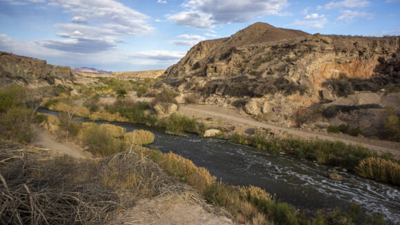
I walked along the edges of steep drop offs, maybe 50′ above the river. The sound of the roaring water was really nice. Certainly, unique along the Mojave Sonoran trail route. Indeed, it’s wet and lush here, and it’s beautiful with the desert back drop.
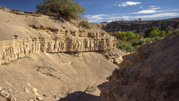
Eventually, I need to leave the River to avoid a deep Canyon that intersects it. This means I need to hike up stream along a wash, this one was named gypsum wash, in order to bypass it. I hiked up and over a series of small ridges and washes to start on my westerly course.
It was a steep climb Out of the wash, but when I got to the top of the ridgeline, I was surprised to see it drop off much steeper on the other side. Fortunately, I had the option to walk the ridge line for a while until I reached a spot where only needed to descend a few feet from the ridge to reach the wash below. And, I got a scenic ridge walk out of the deal.
It was a bit of an open desert walk here to the next Canyon. This one, I’ll need to drop down into from above. It was pretty steep, but fortunately the soil was very soft, and allowed me to really dig my heels in on the way down. This makes extremely steep terrain very manageable.
Next, I dropped down into a wash with some cool red and orange rock. These type of washes, as colorful as they are, always seem to peak my interest. Even the smaller ones such as this.
Now down in a new Canyon, I found this one to be very impressive as well. I followed this down to the river again, where the trail continues to skirt Alongside the river, and elevated above it. Eventually, I reached a newly cut road into the hillside, witch which continues on the other side of the river. It appears this will be the site of a new bridge that that extends the wetlands trail to both sides of the wash. Cool. Only I’m above the road and it’s a very steep hillside. The soil looked pretty loose, so I went for it. It was a bit harder than I thought, and I ended up sliding all the way down. Thankfully it was only about 20′. However, I ended up with some road rash on my hand as it slid across the dirt.
Finally, I reached a spot where I could easily access the water in Las Vegas wash. This is the 1st time I could say this since government wash. I took the opportunity to wash off my hands, giving the dirt out of My open wounds. I also washed up my face and hair a little bit. Refreshing.
Next I reached the parking lot for the wetlands trail head. There was a fence around it and it said that it was closed. It looked like they were building a parking lot here, and a paved (perhaps?) pathway that leads down to the river and to the bridge that will eventually span it. This is right along Northshore rd, Which I now have the pleasure of walking for about 3.5 miles.
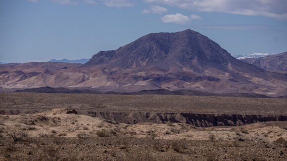
The roadwalk wasn’t too bad. Looking back to the East, some dark clouds were sitting above the muddy mountains. They looked Quite impressive from here.
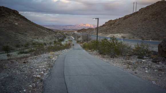
This paved pathway is the River Mountains Loop, which encircles the River Mountain Range. Tomorrow, I’ll hike through the range, not around it!
After about an hour along the road, I reached The spot where I had stashed a gallon of water in the bushes yesterday. It was still there. Sweet. It was Getting dark though, so I didn’t have time to distribute it amongst my water bottles. for now, I threw it in my backpack and continued hiking.
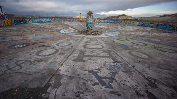
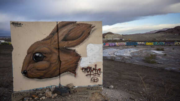
Next I entered the Three kids mine, and abandoned manganese mine from the World War I era. Clearly this place gets a lot of traffic, being so close to Vegas. Some pretty interesting graffiti though! I didn’t really have time to explore any of this though, the daylight was fading fast and I needed to look for a place to camp.
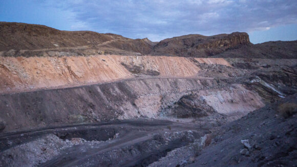
I continued uphill across the mine complex and reached one of the 2 open pit mines. I found a spot to camp That had a little cover from the wind. It was dark enough that I needed my head lamp to help me as I set up my tent. In the distance, I could see it’s pretty much the entire Las Vegas Valley, including the strip. I’m glad to be far away from it though. It’s an expensive and hectic place.
I got about almost 23 miles in today. I haven’t hiked more than 7 or 8 miles in a day since I completed the Mojave Sonoran trail route 2.5 months ago. Since then, I’ve been hiking about 4 days a week, often with a decent amount of elevation gain. I’ve mostly been exploring abandoned mines this Winter as I tour the Southwest in my camper Van. These roads are usually Too rough to drive, which leaves me with a couple of miles of hiking in order to reach them. So I feel like that’s kept me in decent shape since then. However, that’s nothing like hiking 20 miles a day. I’m feeling pretty tired, and it sure does feel good to lie down.
March 10th, 2022
Miles: 17.25
Animals Seen: 3+ Big Horn Sheep
Throughout the night there were various sounds in the distance… dirt bikes, loud cars, planes flying directly overhead. I didn’t sleep well at all. Sometime around 5 AM, sprinkles started hitting my tent.
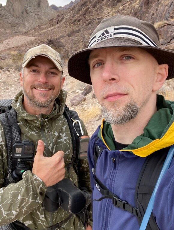
I woke up at 6 and quickly packed up my things. This morning, I’ll meet up with one of my youtube subscribers named Kai, who had recently watched my Basin and Range Trail series and was interested in joining for some hiking. I welcomed the opportunity to have a partner here, even if it’s only half a day as he must work later in the afternoon.
Kai has done some thru hiking on the Appalachian Trail and is going to be setting out on the Pacific Northwest Trail this summer. He also has a custom route he’s working on that will form a big loop around Clark County (Las Vegas), and I think that’s pretty awesome!
I walked back down to the lower part of the mine complex that I hiked by last night, and Kai was just coming up the hill. Perfect timing. After some quick introductions, we started exploring the Three Kids Mine.
Now with some daylight, we got a better look at the part of this complex they call the “Wheel of Misfortune”. There are several round cement structures that have been spray painted to resemble the wheel from wheel of fortune. Only instead of listing dollar amounts, most say $0. Pretty weird, but kinda cool.
There was a lot of abandoned concrete structures here, all painted with strange and entertaining graffiti. We could have easily spent more time here, but after 15 minutes we left the mine for a dirt road.
After leaving the mine, the terrain quickly becomes more rugged and the vibe turns surprisingly remote and isolated. Of course, roads are not that far away, but the lack of public access to this area likely keeps it fairly lightly trafficked compared to other public lands in that hug the metropolitan Las Vegas area.
The weather this morning was very overcast, and the threat of rain remained. Distant dumps of rain could be seen as the clouds clip the tops of nearby peaks and ridges. The dark clouds created a different mood that was less common along the rest of my MST hike, since every day was usually just blue bird skies.
Kai hiked with me for about 3 hours before turning around and heading back to his car so he could get to work later. It was great to hike with someone new, it really changes the dynamic of these hikes when you have someone to talk to and share the experience with.
Shortly after Kai and I parted ways, I saw a bighorn sheep. This was my first in the River Mountains. Cool.
Soon enough, it was time to leave the dirt road and start my cross country trek across the River Mountains. My goal is to bag the high point and walk the ridge for a bit, before dropping down on the west side of the crest, just north of Boulder City. Hiking here was pretty manageable, for now.
Good scenery thus far throughout the River Mountains. I have been surprised with this range, and wasn’t expecting much because it was so close to Vegas, I suppose. There are no signs of trash, ammo casings, or footprints back here. Rally cool.
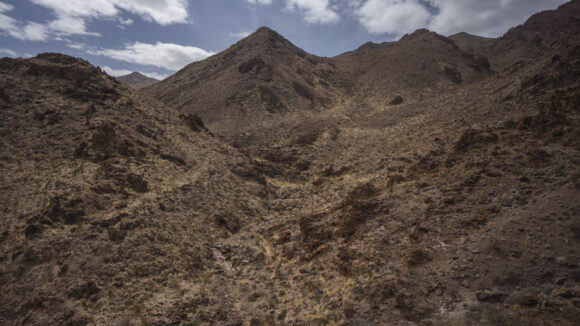
Most of the landforms here are unnamed. I walked up a large valley north of peak 3465’, which provided easy walking and pretty good views.
Soon enough, the canyon narrows a bit and the brush becomes thicker. I’m now climbing up the canyon east of peak 3465’, and it’s a little more rugged. Great views, though.
The clouds are clearing up now, but the winds are whipping today. 40 MPH gusts at times. Still, the sun lifts the mood, and the climb continues regardless. I reach a small pass, where I need to go around a large hill in front of me. Left or right, but which way loses the least amount of elevation? The steepest route, of course. And that’s what I chose.
The route to the ridgeline seems to take forever. There are many ridges and drainages to traverse, many side canyons to choose from. And when they are smaller, they can make navigation a little trickier, since none of the landforms are very distinct.
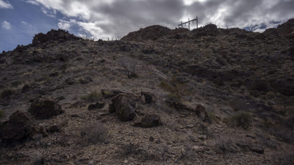
Some power poles mark the canyon leading to the crest of the River Mountains. The final 300ft up to the ridgeline is a little steep, but no biggie.
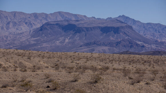
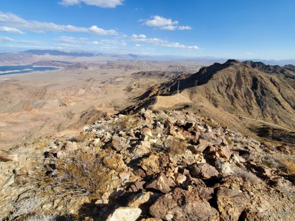
Once on the crest of the River Mountains, there’s a view west to metro Vegas, although somewhat obscured by hills, and the unobscured view east over Lake Mead. Wow! To me, this section is all about rounding the western side of Lake Mead, where the route begins its southerly trajectory. This is the section that ties it all together, the north Lake Mead region to the southern Colorado River corridor. This view was very meaningful to me in that way, to see where I’ve come from, and all of the work involved to trek all the way around this massive Lake, to string this route together.
I continued up the ridgeline to peak 3502’. The views from each of the small peaks along the ridgeline all offer the same basic view. It’s a good one, though. The wind is blowing me off my feet now, especially when a rogue gust comes out of nowhere.
At the top of River Mountain’s high point, 3789’, there’s a summit register and it’s full of entries. This peak gets a lot more traffic than I would have assumed from the route up, but then again, I took an unconventional approach. The wind was so strong that I didn’t spend a whole lot of time up here. It also killed my camera battery, and it was only cell phone photos after this today.
Continuing north along the ridge, I quickly came to a ridgeline that leads down to a saddle with a 4×4 road leading up to the top, and some power lines. This must be where most people approach the River Mountains high point from.
I walked the rough road down the canyon and out into an open valley west of the Black Mountain. It’s about 2 miles across it to the base of my next climb, a road leading out of the valley and back up to the crest.
I followed a winding dirt road up a mountain with a radio facility at the top. Only a few miles from Boulder City now.

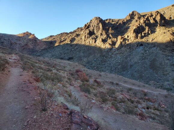
Looking down on an actual hiking trail! Boulder City lies at the entrance to this canyon at the bottom
Once I reach the top of the crest again, I see a vehicle parked at the top. This is a trailhead that leads to several different trails, one of which I will have the luxury of following downhill for a couple of miles. One of the few times I will encounter a marked hiking trail on this entire route.
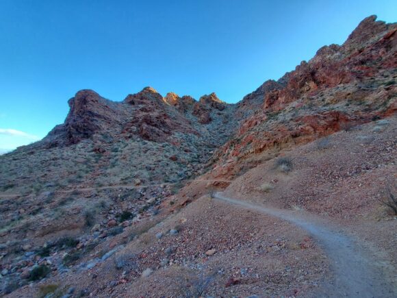
I drop down into the unnamed canyon leading southwest towards Bounder City. The views are outstanding! I was not expecting this, although when I look at the maps, it’s not hard to believe. The map shows gratuitous amounts of steep terrain, which is a sure recipe for a beautiful landscape in any environment.
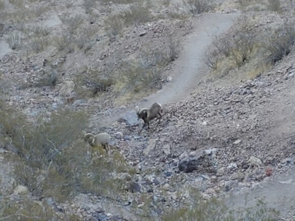
As I hiked down the switchbacks, I encountered a couple more bighorn sheep. These guys weren’t afraid at all, they just sort of walked a few feet away and turned their backs on me. Must be slightly used to seeing humans here, only a couple miles from Boulder City now.
After exiting the canyon, it opens up to Boulder City. I walk the outskirts, and enter a residential area of high end homes, and weave in and out of the power line corridors to make my way back to the Quality Inn hotel where I parked my van yesterday morning.
I was relieved to see my van still there in the parking lot, and not towed. I took a chance that nobody would notice it for a night, rather than leaving it at a trailhead where it’s an easy target. Not today, thieves.
It was really nice coming back to my van after the hike, and knowing I wouldn’t need to spend any money on a hotel. I drove to Railroad Pass a few miles away, got a shower at the truck stop, a burger from the fast food place, and parked in the casino lot to spend the night.
I was really glad I went back and re-hiked section 3. My initial impression of this section was that it was merely a connector, and being so close to Vegas, that it wouldn’t be all that interesting. While it was definitely not one of the highlights of the route, it certainly exceeded my expectations for scenery, remoteness, and overall enjoyment.

