Mojave-Sonoran Trail Thru Hike 2021 – Section 4: Boulder City to Searchlight
Mojave-Sonoran Trail Thru Hike 2021 – Section 4: Boulder City to Searchlight
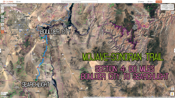
Mojave-Sonoran Trail Section 4 Map
Mojave Sonoran Trail Thru-Hike Section 4 – Boulder City to Searchlight, 80 Miles
The above map only represents represents section 4 of 9 on the MST. For a more detailed map and general route info, see the Mojave-Sonoran Trail Guide page.
Mojave-Sonoran Trail Section 4 Journal
Day 13 – November 15th
Miles: 12.5 (half day)
No animals seen
Left the hotel around 7:30 am. First I went to the post office and got there around 8 am, when I thought it opened. However, it opened at 9 am. So now, I walk to the UPS Store to return a MicroSD card I ordered on eBay that was faulty. Then I got breakfast at Jack in the Box. Well, actually lunch, since they serve burgers during breakfast time, and I had already eaten a breakfast at 6:30 a.m.
Then I walked back to the post office and mailed out my bounce box to a hotel in Lake Havasu City. I also mailed home some extra gear that I didn’t need and some rocks that I found from the previous sections. This freed up some room in my backpack, now I can make a run to the grocery store and buy food for the next section, as well as some staple items to send to Searchlight, my next stop. All they have there is a gas station, so they don’t sell things like tortillas cheese and pepperoni.
After doing my grocery shopping, I went back to the post office and mailed out some of the food that I bought to Searchlight. On the way to the post office, I passed an older couple sitting on the patio of a restaurant along the main strip in Boulder City. They saw me walk back and forth a couple of times across town and was curious what I was up to. I told them about the hike, and we had a really nice chat for about 20 minutes. Bob and candy were their names. Bob said, I want to give you something, and reached into his wallet and pulled out some cash. Immediately, I tried to decline, as I really don’t need it. However, he insisted, saying that he would really like to help out and that he is lucky to be in a position to do so. Reluctantly, I accepted the $20 dollar bill. I always feel awkward receiving gifts from people. I’m so incredibly thankful that someone would bestow a gift upon me of any kind. This really made my morning. And yet another reminder of the kind and generous folks I always seem to meet along the way on these long-distance hikes.
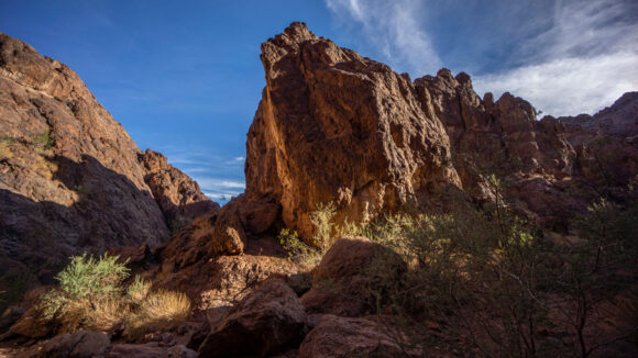
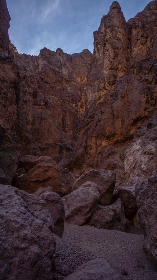
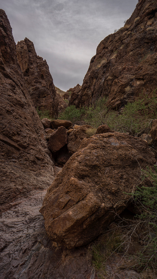
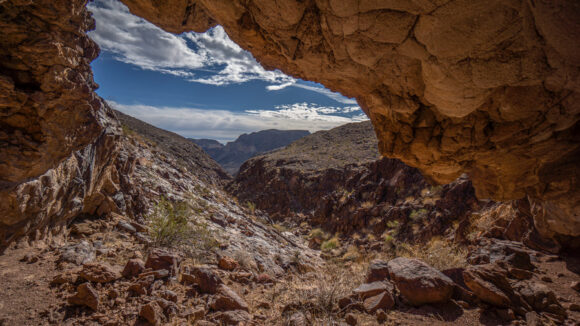
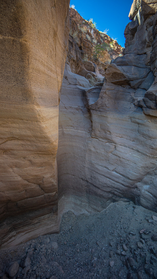
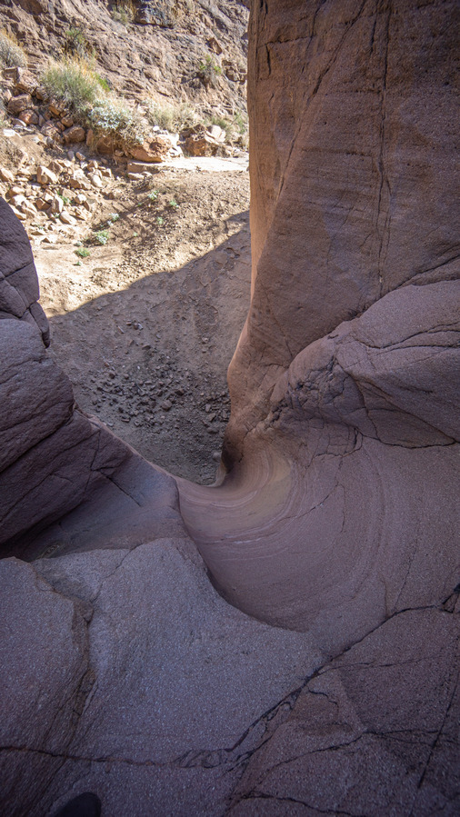
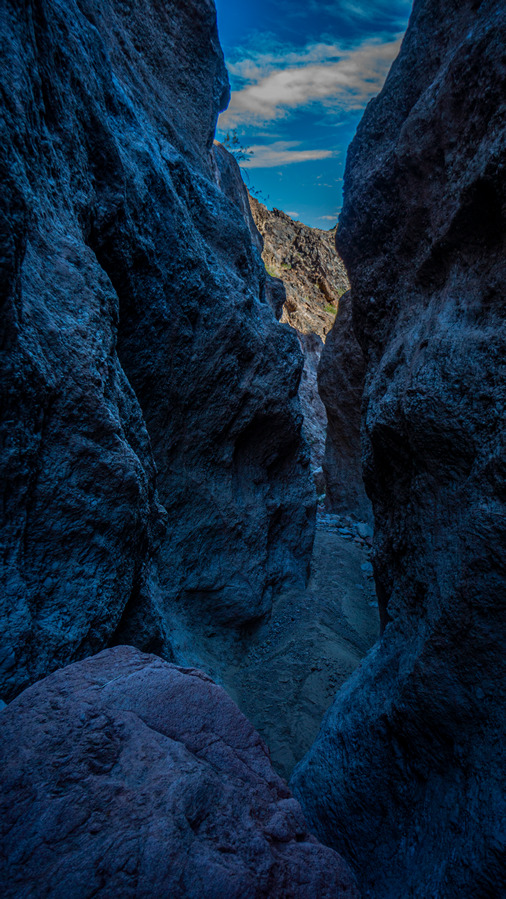
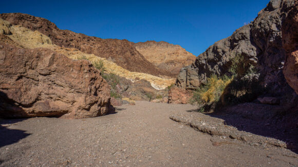
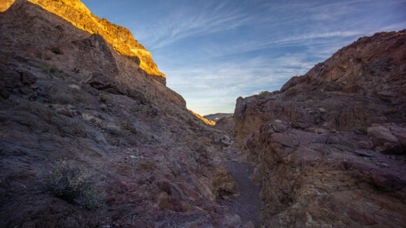
I walked out of town, taking my last steps off pavement at the end of a subdivision and on to dirt, back into the desert. Within a few hundred yards, I was down in a really cool little red slot canyon, but this faded out pretty quickly.
My next destination is Gold Strike Hot Springs, and the route there basically follows a bunch of power lines. Not just one set of them though, various networks of large power lines and substations. After all, the Hoover Dam is right around the corner. The entire area is just littered with infrastructure related to the power grid.
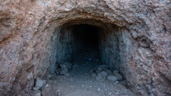
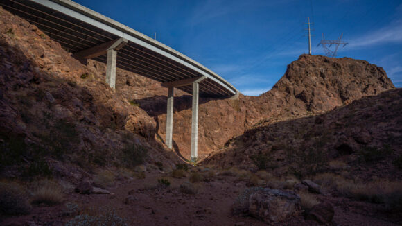
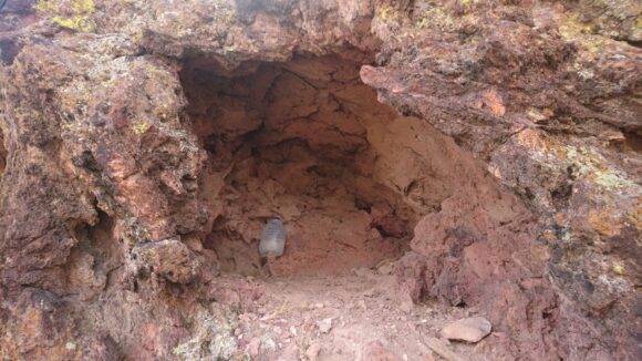
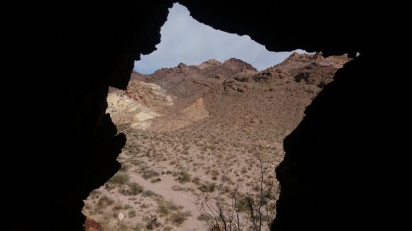
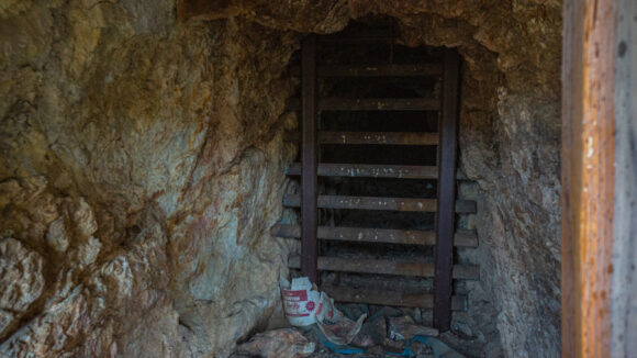
I walked under Interstate 11 and continued through the power line the District of Southern Nevada. About the only interesting thing I saw here, besides the great view of Lake Mead in the distance, was an old mine. A horizontal mine shaft tunneled into a hillside, pretty easy to access. So of course I went in. At the entrance was a pile of clothes and a little bit of garbage. It appeared that a homeless person might call this home, at least at some point.
I spent about 15 minutes exploring the mine. Probably a gold mine, as the host Rock had thin quartz veins, and was very crumbly. One didn’t even need a rock hammer here, you could just grab the Rock and pull it off the wall. Alas, I found no gold, and no quartz worth keeping.
Eventually I reached the Gold Strike Hot Springs trailhead, right along the interstate. There were probably 15 or so Vehicles parked here. There really isn’t a trial here to follow per se, but it’s the obvious wash leading down the canyon. Does it count as a “trail”?
One interesting thing about this area is all at the helicopter traffic. At first I thought it was something to do with Hoover Dam, maybe some sort of national security thing. But then I remembered, helicopter tours. It was usually one helicopter every 10 minutes or so, along the same route. But at times, it seems like there was 10 helicopters per minute, almost as if they were in some sort of helicopter traffic jam. Pretty annoying after a while!
I saw about 25 people coming in and out of the Canyon today. For some reason I was expecting more. They were spaced apart quite a bit as well. One couple who is carrying a crying baby! That was surprising, since there were many areas where you needed your hands and feet to climbing scramble.
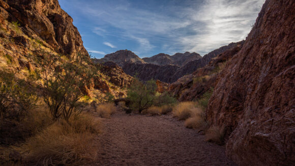
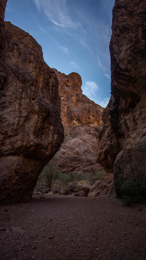
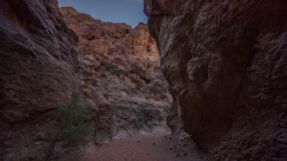
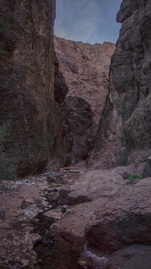
The middle part of the canyon began to really impress. Not unlike the Canyons I’ve already hiked on this route, and so it was a great walk. But of course, each canyon has it’s own “feel”, and for that reason, these kind of walks never get old.
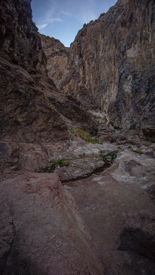
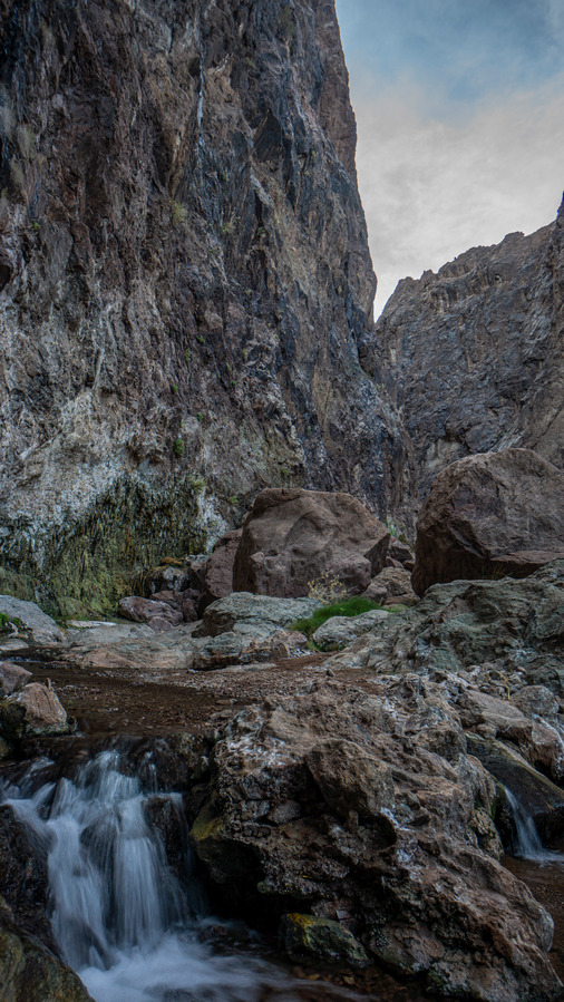
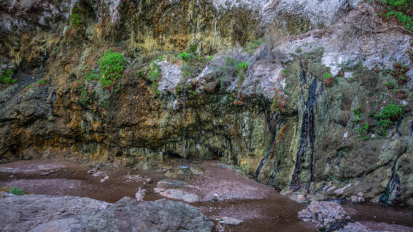
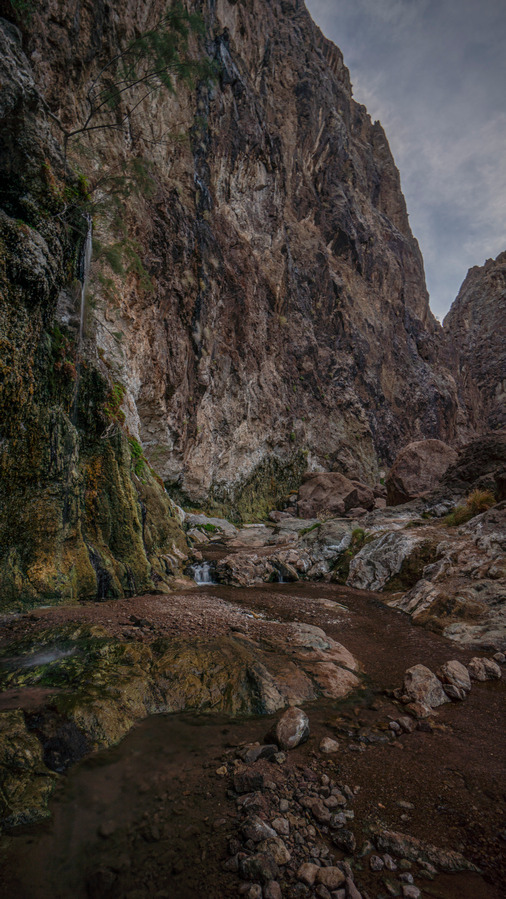
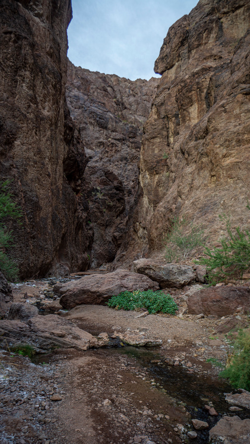
Towards the lower portion of the canyon, there was some trickling water now coming out of the ground. It was warm, as expected. Then the Steep walls of the canyon became Lush with green vegetation and dripping water. There were small waterfalls pouring off the canyon wall and a babbling Creek at times with small Cascades. It was here that I realized how incredible this place was. A true Oasis, a special place. I would say a Hidden Gem, but it’s no longer hidden. Very well known to the public. A once-hidden gem, we’ll say. But still, quite an incredible place.
I gave up on trying to keep my feet dry at this point. I had already slipped down a Rock and gotten them wet, so now I just walked through the creek. The water was warm though, and quite Pleasant to walk through. There were all sorts of colorful mineral deposits accumulating on the cliff walls here as result of the water continuously dripping.
Farther down, there was a small waterfall pouring out of the canyon wall, about 20ft up. Not much more than a trickle, but for a desert as dry as this, it’s not hard to appreciate this water for what it is… an oasis.
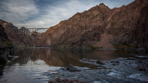
There were three people in the mean soaking pool of Gold Strike Hot Springs when I reached it around 4 pm. I walked right by and just a few 100 ft later, I reached the Colorado River. It was pretty shallow at this point, but just being here along the river in this deep Canyon was awe-inspiring. There were some flat Sandy spots right where the creek meets the Colorado River, and found a spot to set up my tent. What a campsite!
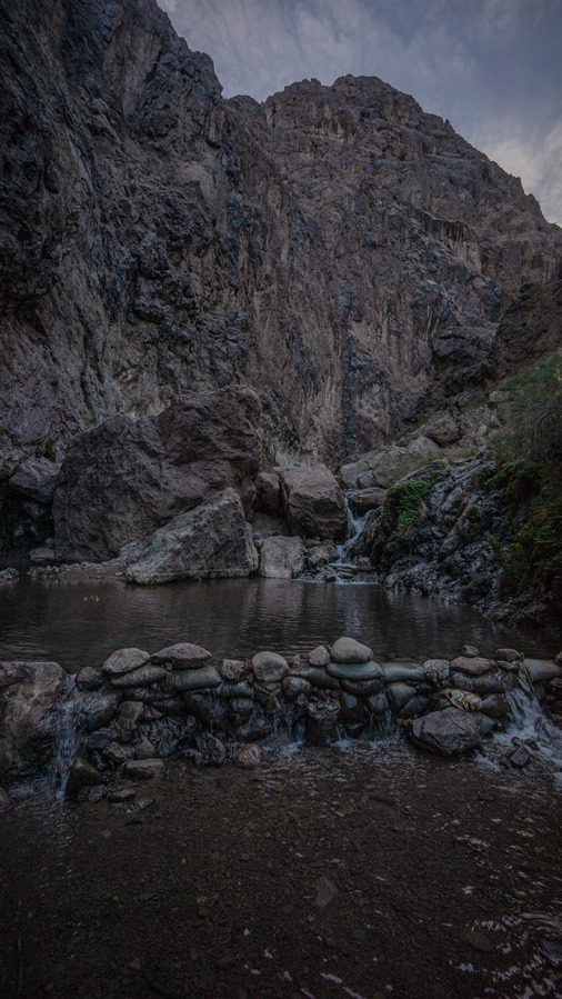
After setting up my tent I went back to the main soaking pool of the hot spring. I had it all to myself now, and it was time to get in and have a soak. The main part of the pool was pretty shallow, but there was a very small, Maybe 5 ft in diameter, circular pool below a cascading waterfall. It doesn’t look like much, but it was dug out to be about 4 ft deep, with some sitting rocks inside. Perfect, absolutely perfect! I couldn’t help but laugh out loud, song things like “yeah right” and “no way”. A place this amazing along a desert hike like I’m doing is not to be taken for granted.
For all the work and effort it takes to get to a place like this, I only spent about 15 minutes here. Daylight was swindling, and I wanted to get back to my campsite and get dry before Darkness fell. With no one around, I didn’t think twice about just getting naked and drying off with my shirt, which I hoped would dry overnight, while I slept in my base layer top. Of course, as I was finishing drying up, I looked back above the waterfall and saw a person approaching. I can’t be sure if they saw me or not, but after they rounded a boulder I was dressed again.
The couple that walked by with down to the Colorado River, as I was walking back to my tent. It was now moments before darkness, and they began to walk back uphill. I said hello, and the woman asked if it was possible to have a boat pick them up. I couldn’t help but chuckle a little, saying that this was probably not going to happen unless it’s a true emergency. I asked if they had headlamps, and they did not. I was beginning to worry a little bit about their safety now. They have cell phones with a light oh, so they won’t be completely in the dark, but it’s certainly going to be a challenging walk, with 1000 feet of elevation gain, in the dark, following a specific path uphill that requires climbing and sometimes with the aid of ropes that are in place, left by previous hikers. They said they would be fine, and I hope they are. I told them if they get into any trouble, I am down here camping for the night and while I don’t have an extra tent or sleeping bag or anything, maybe there’s some way I could help, in an emergency.
Before going to bed, I noticed that the water level of the Colorado River had risen since I arrived, only two and a half hours earlier. This is a bit disconcerning considering my tent is only 50 ft away from it. I’m only about one mile below the Hoover Dam, so if anything, the water level should be lower at night. This is because electricity usage is higher during the day, thus more water must be sent through in order to meet the electricity demands. I highly doubt it will end up being an issue, but still, I don’t have as many things strewn about tonight, pretty much everything is packed away in my backpack and ready to go in case I wake up floating in my tent.
Day 14 – November 16th
Miles: 17.1
Animals Seen: Tarantula, Desert tortoise
Everything worked out the water level with Colorado River last night, I didn’t float away. I began filtering water while I broke down camp. This was going to be one of the longest water carries of the route, about 30 miles. This wouldn’t be a big deal on a normal thru-hike, but since this all off trail and through some rugged canyons with a lot of climbing, this is two days of hiking. I took 8L with me, after chugging 2.
From here, I need to go back up the canyon. There is no way to follow the shoreline of the Colorado River here. I knew this going into it, I just wanted to hit Gold Strike Hot Spring even if it meant an out-and-back. Going up the canyon this morning seemed to be quicker than going down.
I didn’t see anyone else on my way out of the canyon this morning until I reached beside Canyon I was about to take to exit Gold Strike Hot Springs area and make my way over to Boy Scout Canyon. A guy here waved me over to show me a tarantula. Pretty cool, first one on this trip!
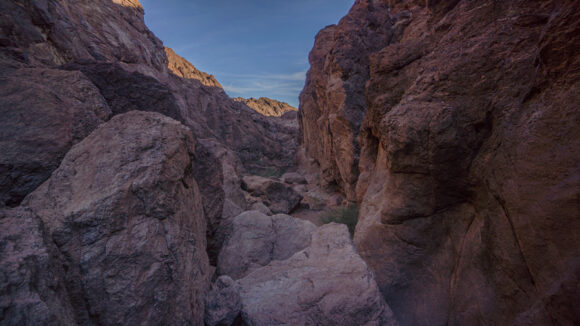
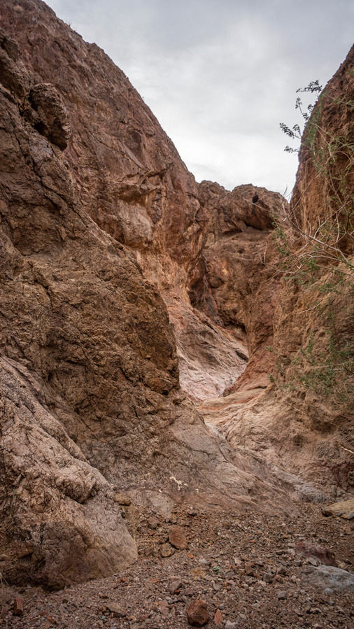
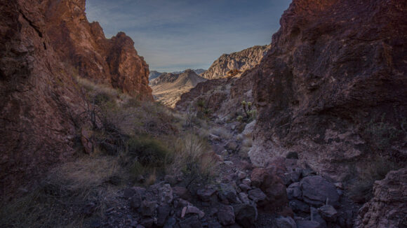
The next several hours were a challenge. A lot of the same terrain I’ve already traversed, deep Canyons with a lot of pour offs, boulders to climb, etc. Very slow. Beautiful Canyon though and very impressive.
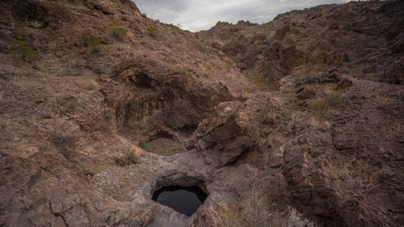
I saw several potholes of water as I walked my way up the washes. One was fairly large, depth unknown. Because of the Steep and slick rock around it, there were almost certainly dead animals in it. This is not the kind you’d want to fall into. As much as I wanted to feel hopeful about the water situation moving forward, I knew this Canyon was nothing more than an anomaly. Much of the time, I will be high up on a Ridgeline, with almost zero chance of water.
There have been many dry waterfalls to climb over along this route. Far too many to count. I reach one this morning, about a 15 or 20 ft climb, that got my heart rate going. The hand and foot holds were decent, but the rock was slick. Additionally, my camera that hangs off my chest was getting in the way, I needed to hug the rock a little bit closer and couldn’t. I was barely holding on, and felt like I was slipping. With one final push, somewhat a leap of faith, I crested the top of the pour off. I let out a cry of victory at the top of this one.
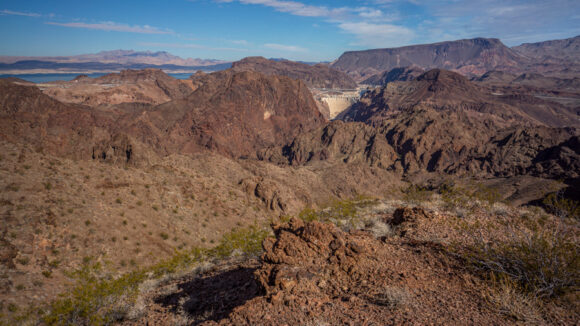
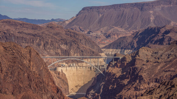
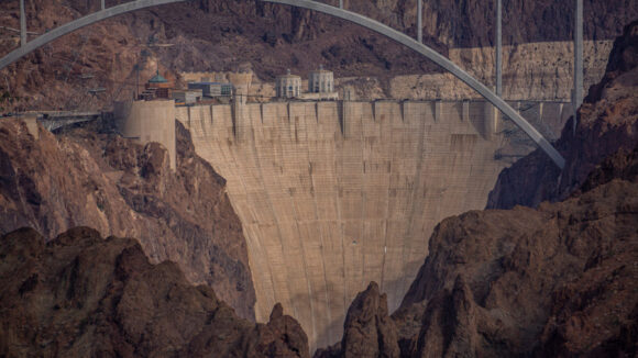
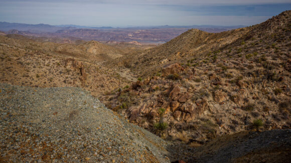
After a couple hours of working my way up hill, I looked back and could see the Hoover Dam. Pretty cool! What a unique vantage point over this iconic landmark, and without any crowds.
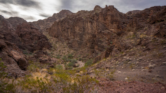
Next I worked my way around Gold Strike Mountain. This is where I enter the Black Canyon Wilderness. Home to the picturesque and rugged Eldorado Mountains, this wilderness unit is a maze of peaks and side canyons with vertical cliffs extending to the edge of the Colorado River. Much of the terrain was formed by volcanism.
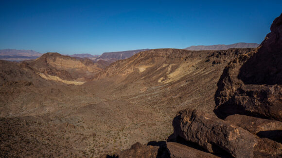
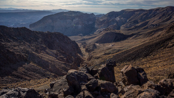
After skirting Gold Strike Mountain, I found myself overlooking a deep and rugged canyon filled with black (basalt) boulders. Imposing, for sure. But after a moment, I see my line down and get to work.
Like all of the other washes, there were countless dry waterfalls to work around, in between steep sections of boulders and some Thorn bushes. I saw a couple of bighorn sheep skeletons down here, as well as earlier in the morning. I slipped and fell a couple of times, but no major damage done.
Next I entered the main wash that leads into Boy Scout Canyon. I would have loved to check this one out, but there was a 350 ft rappel needed to progress down the canyon. There was a class three option to avoidant the rappel, but honestly, I just didn’t have the time to go down this Canyon considering it would be an out-and-back. So I headed up the wash instead. This was an easy walk for about a mile before it was time to leave it for more off Trail hiking.
After leaving the wash, it’s an 800ft climb to the ridge. The route was straightforward and not too difficult.
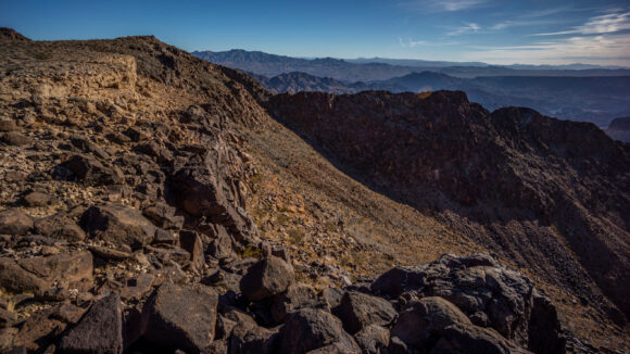
The climb up to the Ridgeline the Black Canyon Wilderness was not all that difficult. I made good time, and found myself on top with an excellent View by around 1 pm. It was great to be out of the Canyons and up high again with a distant view.
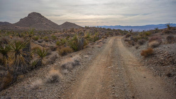
The walking here was a lot easier than down in the washes. Eventually, I hit a four-by-four road that I followed for about a mile. This led me to an excellent Overlook off the Colorado River and the Beautiful Canyons that surround it. However, this is where the road ends. I needed to backtrack now to a spot where I could continue along my Southern trajectory.
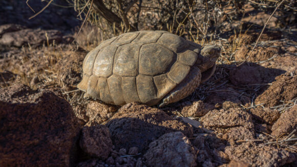
I left the trail again and stayed high on a small Ridgeline above a wash. At some point, I needed to cross the wash though. When I dropped down into the wash, I heard a hissing sound. I was startled, and immediately thought it was a snake. But when I looked down, I was surprised to see a desert tortoise. I have seen a few shells, but This was the first live one I had ever seen. These guys are pretty rare, actually.
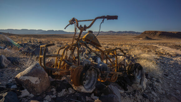
After crossing the wash, I met up with another dirt road. I’ll follow this one for another mile or so before I leave it. There were remnants of an old 4×4 road here too, though, from a time before this land was designated as wilderness. In time, nature will take this road back and it will be gone forever. For now, it gives me a path to follow, and I am not complaining about that right now.
Of course, the dirt road eventually ended and I was off Trail Again. By this time, I had about one hour of daylight left. I was approaching the high point of the Black Canyon Wilderness, and debated whether or not I should go for it. In the distance I could see power lines running across the landscape. This would likely be my best chance of finding a campsite for the evening, as I have not seen many other options recently. I figured it would take me about 1 hour to bag the Summit and then get down to the power lines.
It took me about 30 minutes to get to the High Point. I made it in one solid push, with no break. I was very hungry and thirsty at this point, and felt like I was running on fumes. I didn’t spend more than 2 minutes on the summit, snapping a few pictures and then began walking the Ridgeline down.
The Ridgeline leading downhill looked a little bit more challenging than the route I took up, however, it was pretty easy. It was also much shorter. It only took me 15 minutes to descend from the summit down to the saddle where the power lines were.
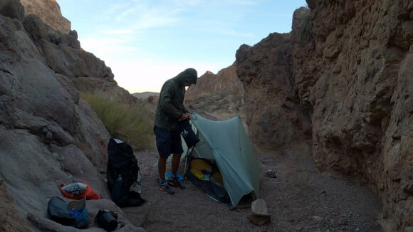
I found a flat spot to camp pretty close to the dirt road that runs along the power lines. With 15 minutes of light left, I didn’t waste any time setting up my tent. I was feeling slightly dizzy from the lack of food and water, and all of the exertion from this afternoon. It had been several hours since I had eaten, but I really needed to cover some miles. After all, my next water source is quite a distance away.
There’s almost no chance of reaching my water cache by tomorrow evening, but I should get within Striking Distance for the following morning. Of course, the terrain ahead is going to be tough, and there’s no way of telling how long it will actually take. There are two Springs ahead along my route, but both are likely to be dry.
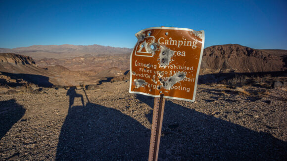
Around 7pm, a vehicle pulled up where I was camped. His headlights eliminated my tent, and he should have had no problem seeing a human being here. The Jeep pulled out enough to parking area where I was camped and continued down the road. Shortly thereafter, I heard a bunch of gunshots. This continued for about two hours. I figured this guy would be camping down there, but he left around 9pm. Now driving back out on the road he came in on, he passed me again. Only this time, he slammed on the brakes about a hundred feet past my tent, put it in reverse and proceeded to drive (rapidly) right up to within 20 feet of my tent, headlights on me. What the hell? I know the guy has a gun, but there’s not much I can do other than shine him with my head lamp. So that’s what I did, and thankfully he turned around and left. But seriously, what was that all about? Shit.
It’s now 9pm and I haven’t gotten any sleep yet. I dozed off for a little while, but then around midnight, another vehicle pulled in to the area I was camping. I immediately shined him with my head lamp, and he drove away, down the road to the same place as the first guy. It sounded like he fired off a couple rounds as well, but it was only a few, not an all night event like the other guy. There is a gun range only a few miles away, I’m guessing these guys like to have a few beers and shoot at rocks or whatever in the middle of the night after the gun range closes. How annoying. Anyhow, I didn’t hear anything from this guy anymore and I was able to get some sleep for the rest of the night.
Day 15 – November 17th
Mile: 17.5
Animals Seen: Tarantula
When I woke up this morning I noticed a Gatorade bottle, half full, sitting on the ground nearby. Considering I was short on water, and being the dirty piece of hiker trash I am, I inspected the bottle and ultimately drank it. Electrolytes, it’s what I crave.
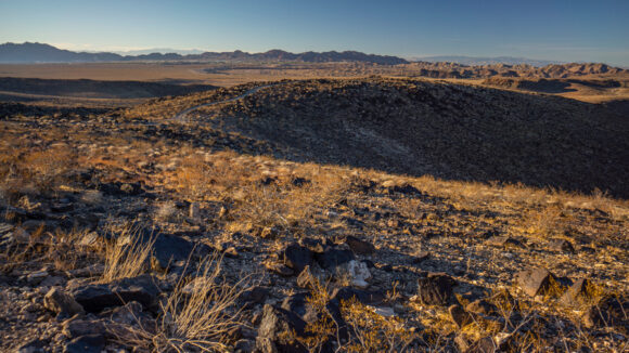
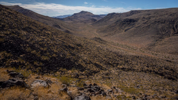
The road I camped along last night was the dividing line between the black Canyon Wilderness and the Eldorado Wilderness. Now, I continued south into the Eldorado Wilderness. I briefly walked a wash before beginning to climb up to the ridge line. Lots of scattered basalt and volcanic rock here.
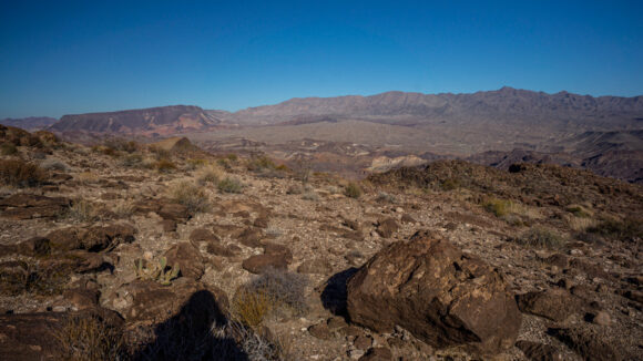
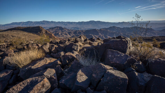
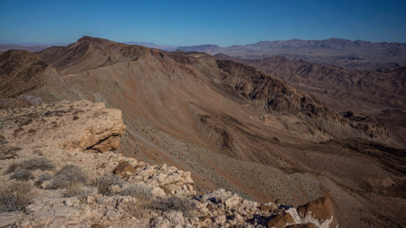
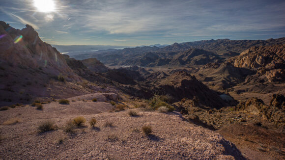
To the east, 2500ft below, lies the Colorado River. There is usually no view of it from the crest of the Eldorado Mountains though, unfortunately.
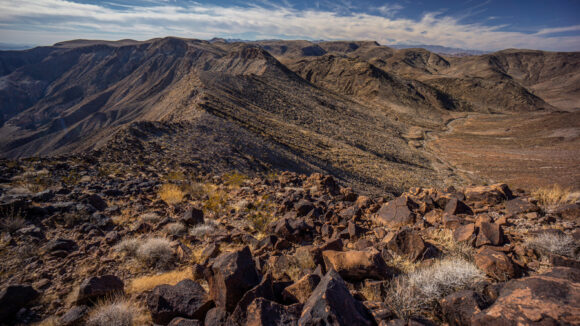
I found this part of the Eldorado Mountains to be pretty plain and barren looking. Despite this, it was rugged and impressive. Usually it’s one of the other. The terrain below the crest to the east, leading to the Colorado River, commands respect, but little about it usually stands out and immediately grabs your attention.
It was around here that I noticed the helicopter traffic that plagued the Hoover Dam area has pretty much stopped. Cool. It was much more quiet now, less plane traffic too. Just silence, solitude and big views now.
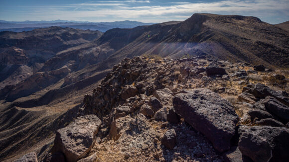
View north along the crest of the Eldorado Mountains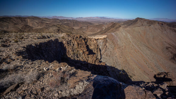
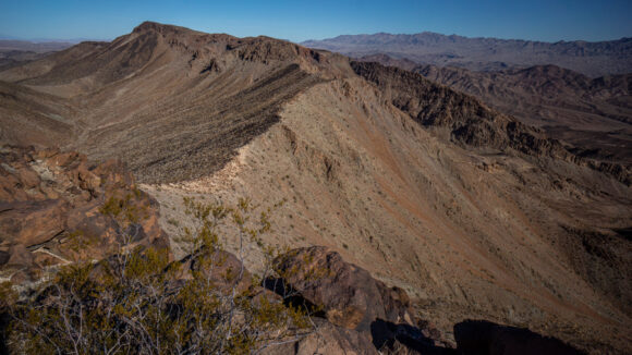
I walked this ridgeline for a couple hours. The best views were towards the south, shortly before I jumped down off the ridge. Here, there was a bit of a knife edge to walk along the ridge. This was perhaps one of the more scenic spots I’d seen this morning, and so I figured it was a good place for a break.
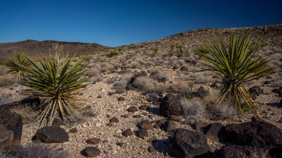
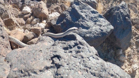
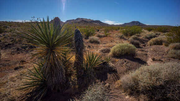
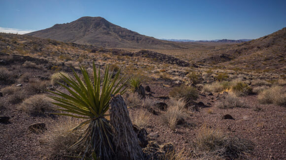
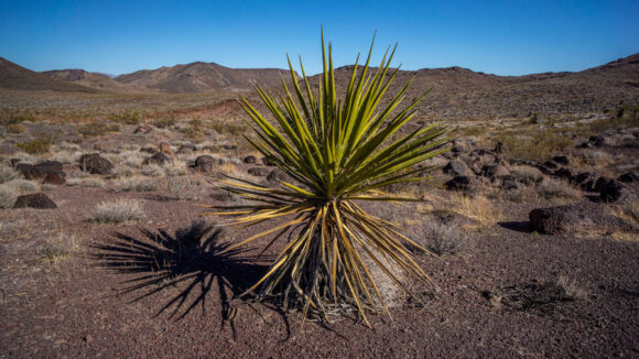
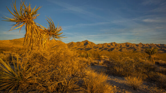
I skirted west of peak 3125 and began working my way down the ridge. To do that, there was a somewhat flat stretch on a shelf to walk before the final drop into a wash a few hundred feet down. It was here that I saw my first Mojave Yucca plant. I was surprised I hadn’t already seen many more, but I really don’t remember seeing any north of Lake Mead. I also saw the only snake of my entire hike here. Non poisonous, just basking in the sun. Cool.
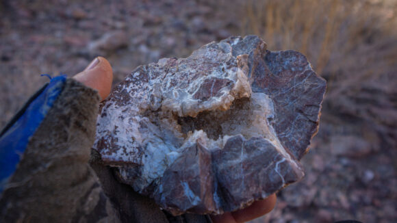
As I descended the ridge, I began to notice more interesting rocks… Clusters of druzy quartz and a few pieces of chalcedony. Now I found myself at the bottom of a canyon, walking a very easy wash. What a nice relief. However, the scenery was pretty bland.
I weaved in and out of the wilderness boundary, walking an occasional 4×4 road. Then, it was cross country hiking again.
I debated whether or not to climb up hill and see if there was water at forlorn hop hope spring ultimately, I did check it out, and it was dry, as expected. The name kinds gives it away.
Next I went over a small pass, and the views improved. I was begging to real like the was some sort of transition in Landscapes now, which I was expecting as the hike progresses from the Mojave Desert Environment to the Sonoran Desert.
After cresting another small Hill, I dropped down into an unnamed canyon that will lead me to the larger Oak Creek Canyon. The views improved massively as I entered this canyon. Wow!
Down in this wash, the shadows began to creep over the canyon walls. My water cache near Nelson ghost town is a few miles away now, but I am beginning to doubt I’ll reach it tonight. I filled up with 8L yesterday morning, and my supply of water is now running low.
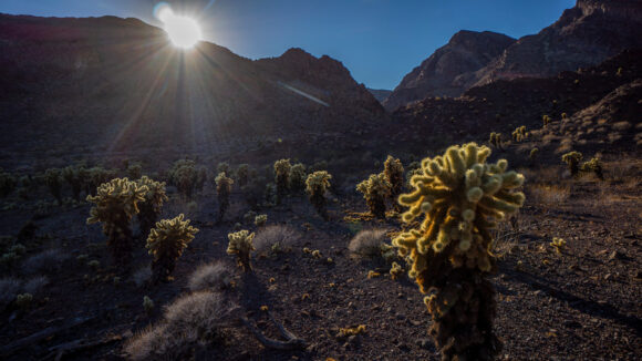
The canyon dumps me out into upper Lonesome Wash. Here, I encountered a sea of teddy bear cholla cactus. Careful… this stuff is brutal! Now, I’ll follow Lonesome Wash uphill to Oak Creek Canyon.
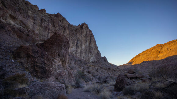
Next, I entered Oak Creek Canyon. It looks impressive on the map, with some deep and narrow sections. And that’s just what it was… big cliffs walls, and just a cool place to walk.
It was clear I wasn’t going to reach the water cache tonight, but I will make it fairly close. I was feeling really tired now. Probably from the lack of sleep last night.
The upper reaches of the canyon became more difficult, just as the sun was going down. With 30 minutes of daylight left, I was climbing boulders and small pour offs again. I found a pretty nice spot though protected by rock walls on three sides, on a nice bed of gravel. This will do!
Update on the water situation, I drank 4L today, plus the half liter of Gatorade. No regrets on that Gatorade. That leaves me with a liter in the morning, and that will get me about 2 miles, over some tough terrain, to my water cache.
Day 16 – November 18th
Miles: 18
Animals Seen: Jack rabbit
Slept great last night. Barely woke up at all, and even with a solid 10 hours of sleep, didn’t want to get out of my tent this morning. But that’s fairly typical of me, I’ve never been a morning person.
I reached the top of the Canyon I had been walking Shortly after breaking camp. I found some cool druzy quartz specimens on a hillside.
Next it was time to Crest the top of the pass. On the other side is Nelson ghost town, and my water cache. However, the descent looked steep and loose. This also marks the southern end of the Eldorado Wilderness, and now I enter BLM land.
The descent was not as bad as it looked from the top, but was still slow going. There were some really interesting rocks in some of these washes. I found chalcedony, quartz, and some really cool nodules that I’m not sure about. Farther downhill, I saw a couple of these nodules that were broken open and filled with quartz crystals, basically geodes. Great stuff, I hope to return here someday to do a dedicated rock hounding trip.
Finally down in the wash, I found my water cache. It was still there, and so I got to work distributing the one gallon jug amongst my four one liter bottles. I was a bit disappointed though when I took my first swig, as the water had a pretty awful after taste of chemicals and plastic. Yuk.
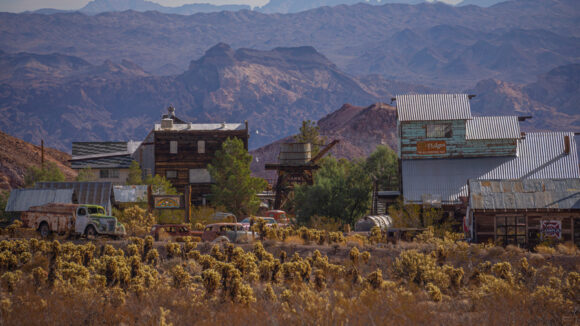
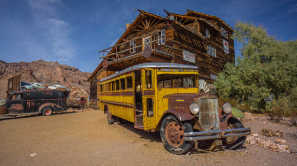
Next I approached The Nelson Ghost Town. There are several old wooden buildings here decorated with old cars, equipment and route 66 style decor. It’s owned by a family that runs it as a tourist attraction, giving tours of the nearby mines and the ghost town itself.
I walked in the main building which operates as a check-in point for visitors. Inside was a woman sitting down on a chair and reading. I asked if they had any Cold drinks, and she pointed me to a refrigerator with Gatorade and sodas. She quoted me a price and I dropped my backpack to retrieve my wallet, which is typically buried pretty deep in the pack considering it doesn’t get much use on trail. She asked where I had come from, and I told her about my hike as I rummaged through my backpack looking for my wallet. She said don’t worry about it, the drinks are on us. How kind! Almost immediately, a couple walked in and paid a small entry fee to roam the town. They handed the woman a $20 bill and said keep the change. Essentially, they bought my drinks. Funny how these things work.
They have a bar set up in the main room of the old storefront and I sat down on one of the bar stools, charging with the woman for a while. Then the owner and his sons walked in and sat down. We conversed for a while, and it turns out the old man did a bit of hiking back in his heyday. In 1976, he walked from bad water in Death Valley to Mount Whitney, the route today we refer to as the lowest to highest route. He recalls temperatures of 119, with overnight lows of 94. He had ambitions for other long walks, but then started his family.
Before I got too comfortable, I got up and left Nelson to keep walking. After a short paved roadwalk, I left this for a dirt road that would cut across the mountains and take me to Eldorado Valley. There were some elevated views above the Colorado River, with Arizona as a backdrop. Lovely.
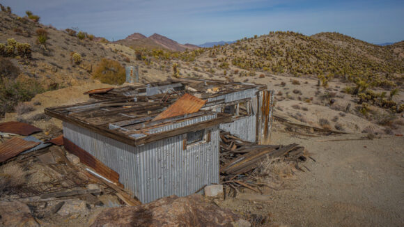
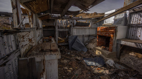
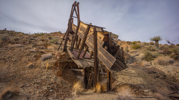
I came across an old cabin that had been used by miners, basically living next to their claim. It said “gladiator Corp” on the outside, which was full of bullet holes at this point. The roof had caved in and the inside was in shambles. There were a couple of bunk beds set up, and interestingly enough, they were covered with cholla balls. A bed of nightmares. There were a couple of cholla balls on the ground as well inside the cabin, and I accidentally kicked one with a footstep that embedded it into the ankle of my other foot. The pain was sharp, and any movement caused further anguish. Outside of the cabin, I dropped my pack and pulled out my Gerber dime multi-tool, and utilized my pliers. You cannot simply use your hands for removing these. There were so many needles of this one ball stuck in my ankle that pulling on the needles on the other side of the ball with my pliers just meant that the needles broke off. I eventually dislodged it, and walked away with a reminder that I didn’t really need, to respect the cholla.
Farther up the dirt road, I came across the Belmont Phoenix mine. Wide variety of minerals were mined here, including gold, silver, copper, zinc, pyrite, chalcopyrite, etc. There were a couple of cabins here as well, One of them newer and in decent condition. The hardwood floors inside were intact and the walls had drywall.
The mine itself was blocked off, both the vertical shaft and the horizontal tunnels into the mountain. It’s always a bummer to see these tunnels gated off like this, preventing people like me from getting inside and exploring them.
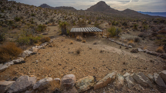
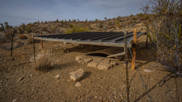
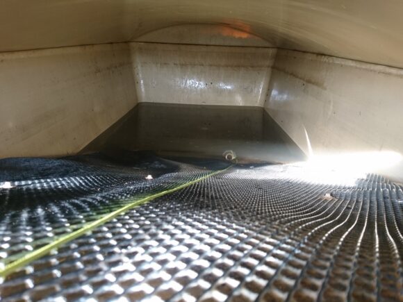
The road eventually dumped me out into Eldorado Valley. Here, I had a water source marked, a small game guzzler. I found the guzzler, and now it was a matter of how to get the water out of it. This particular kind features a tank that is mostly buried in the dirt with an opening about 18 inches high, and a ramp that leads down to the water inside the tank. Their appeared to be six inches of water or less. The ramp itself was about 6 feet from the top down to the water level, and so there is no way to just scoop it out.
I anticipated a scenario like this, and brought a length of string for just such an occasion. I tied the string around the mouth of my wide-mouth Gatorade bottle, and put a few small rocks inside the bottle to give it some weight. Without the rocks, the bottle would simply float on the water and water would not enter the mouth. Even still, it took several tries to perfect my technique, to chuck the bottle into the water in such a way where the rocks would not be at the bottom of the bottle, causing the mouth to tilt up out of the water.
I was able to pull up a few Gatorade bottles worth of water before crappy knot I tied came loose, I lost my Gatorade bottle inside the depths of the guzzler. I found the longest branch I could from a nearby shrub and use that to fish out my Gatorade bottle. I was lucky to get it back. I tied a better knot and continue to draw enough water to fill my two liter platypus bag. Quite a bit of effort to filter two liters of water, but sometimes this is the reality of the desert.
It was now decision time once again on how best to proceed along this route. My planned route has me doing a continuous ridge walk of the Ireteba Peaks, this off trail Traverse will be very slow. I need to reach the post office by 3:45 PM tomorrow in Searchlight, before it closes. If I do the ridge walk, I won’t reach Searchlight at all tomorrow, let alone before 3:45. Additionally, that would mean I would probably have to camp up on top of the ridge tonight. With all of these things combined, I decided a lower route would be best. I’ll take a route through Eldorado Valley, consisting of dirt roads and cross country hiking.
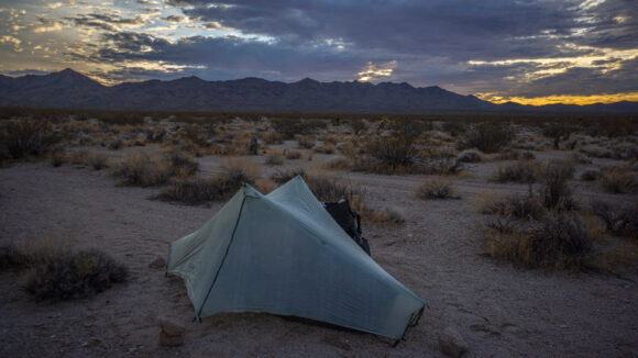
I walked a sandy wash til sunset, which was quite nice here in this huge and empty valley. I found a great spot for my tent, flat and clear. One big reason I’ve been setting up my tent before the last several nights, as opposed to cowboy camping, is that the nights have been cooler. The tent really cuts down on the wind and makes very much warmer sleeping experience. I only have a 40-degree bag for this hike, So the little extra things to stay warm really make a difference.
Day 17 – November 19th
Miles: 14.6 (half day)
Animals Seen: No animals
Woke up this morning to large birds squawking and buzzing my tent. They must have been large, the sound of their wings flapping was quite loud. It was a cold night. I put on my pant legs for the first time along this route as I got going. The clouds obscured the sun for a while, making it feel colder.
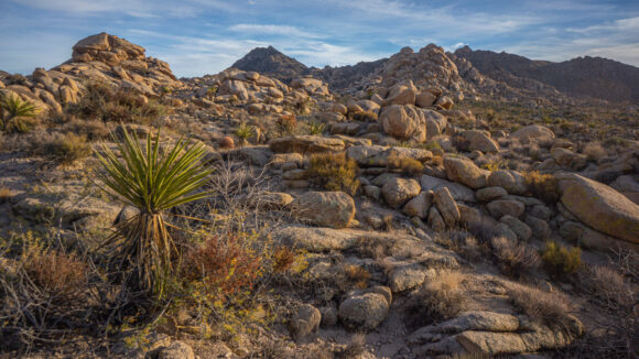
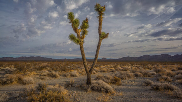
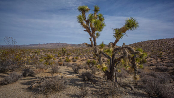
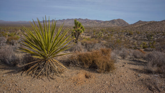
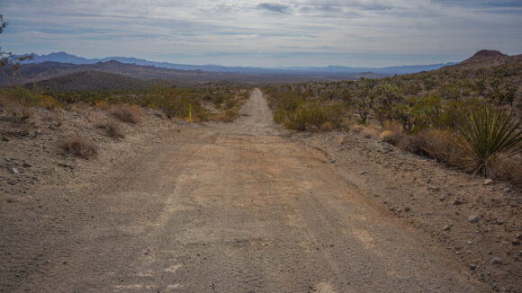
I continued walking dirt roads, making good time. One road followed power lines for several miles. It was here that I saw my first Joshua Tree of the entire hike. Then, a few more. Eventually, the entire landscape was a Joshua Tree “forest”. These are generally confined to the Mojave Desert. After searchlight, I’ve only got another 60 miles or so of Nevada left, and then I cross into Arizona. While the boundaries of the Mojave and Sonoran deserts are not exact, a rough dividing line is the California/Arizona border, just south of the southern tip of Nevada, which I am fast approaching.
Today’s walk was rather dull, otherwise. I saw a few mining prospects and mines that had been filled in, but nothing interesting.
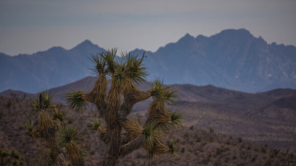
Spirit Mountain in the distance. I’ll climb this on the next section. It’s the highest point along the Mojave Sonoran Trail
I hit some areas of private peppery along my route into Searchlight, which requires a small detour. I followed an underground gas pipeline for the last few miles into town.
The town of searchlight is extremely depressing. There are few homes, most are trailers patched up with garbage. There is garbage everywhere in the street, much like the last few miles of desert walking into town.
My first stop in town was the El Rey motel, which had no vacancy. Damn. This was the place I had planned on staying at. I tried calling them last with my limited cell phone signal, but there was no answer.
So, I headed over to the other motel in town, the By Motel. This place was interesting. Some shady looking characters outside the motel asked “can I help you” in a tone that made me wonder who they thought I was. They did have availability, but it was cash only. Seems legit. With no other hotels in town, I went to the ATM and pulled out $60, and did the deal. No extra fees either, and I’m not complaining. So I handed my money over this crackhead looking guy working there, like an older, dirtier and more inbred version of Charlie Sheen in the movie “ferris buellers day off”.
The room looked surprisingly decent at first glance, but it had many issues, oddities and quirks. First, there was no door knob on the door, just a little handle to pull it shut and an old school key lock. The need sheets looked dirty(and definitely loose debris on the sheets), the floor was tile and made crunchy noises from all the dirt as I walked across it, and all the furniture looked worn and filthy. The shower had no curtain. The shower was tile, and had a large sunken area where water collected. The water barely trickled out of the shower head, not even enough pressure to wash away dirt that was washed off my dirty hiker trash body. The shower tile was dirty. There was no light above the sink, outside the bathroom. The bed Das a full mattress on a twin frame, overlapping or and hanging off. Under the bed I found another dead bolt lock from the last time they changed the locks. There is no wifi. The TV turns on but the cable box does nothing, and its missing buttons. There is no garbage can in the room. There was no soap, I had to ask for it. The heater /ac unit wouldn’t turn on. I could go on, but you get the picture. Funny thing is, as a hiker who just spent 4 days out in the desert without a shower, my standards are so low that none of this upsets me, it’s simply comical.
Outside the motel, there are a couple of abandoned vehicles, and a few more that are missing bumpers and generally looking like a junkyard puked it out. There were trailers full of garbage bags in the parking lot. But perhaps best of all, I could almost constantly hear someone screaming, in an extremely frantic and shrill voice, “I’m going to kill you!! I swear to God I’m going to f’ing kill you!” Not in a joking manner, either. I was waiting for gunshots or screaming at any moment.
The funny thing is, this hotel has a 4.4 out of 5 rating on Google reviews. It’s clear all of the reviews are fake when reading them. They all praised management, and one even said “they serve great food”.
I had been considering taking a zero day in searchlight, but this motel was my motivation to get my chores done and leave in the morning. At the post office, I mailed home rocks from this section and picked up two packages from general delivery; a new pair of shoes and foods I mailed from Boulder city. Searchlight only had gas station convenience stores, so I mailed my staple items here; Tortillas, cheese sticks, pepperoni and pure cooked bacon. I ate lunch at McDonald’s, bought some food from the convenience store, and took care of the rest of my chores.
Looking ahead at the next section, I made some adjustments to the route, bypassing a suicidal ridgewalk I had apparently planned, for something more realistic. I figure 3 days to bullhead city, my first town stop in Arizona. I’ll be looking forward to taking a zero here at a real motel, hopefully.


