Mojave Sonoran Trail Updates 2026
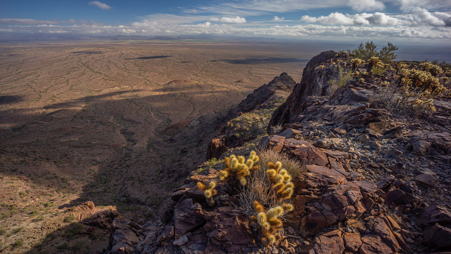
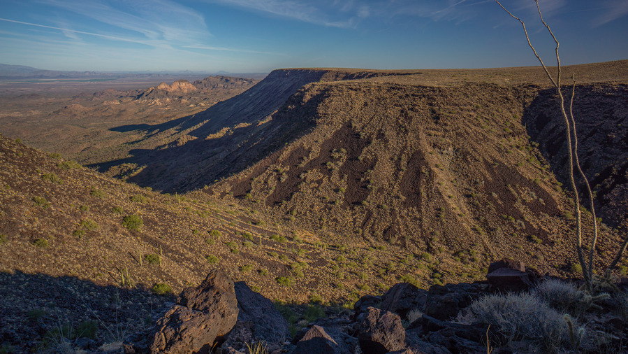
View over Renegras Plains, New Water Mountains, Section 9
It’s been nearly 5 years since I created, and first hiked, the Mojave Sonoran Trail. Since then, the route has seen a steady increase in interest, with several successful completions now by other thru hikers. With increased activity and use comes an increase in new information that future hikers should be aware of. The biggest changes are the addition of a water chart, some refinement of the route and the mapset, and the addition of Brenda, AZ as a resupply option.
NEW!! Water Chart for the Mojave Sonoran Trail
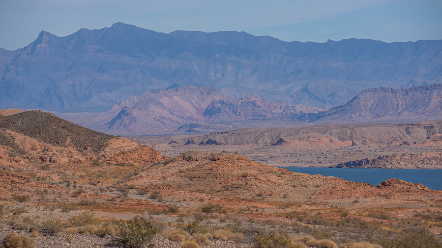
Lake Mead, Section 2
Now that a few hikers have had the chance to hike the MST, over the course of several years with varying water conditions, a water chart is available. The updated water chart now includes field observations of the water sources along the route from thru hikers in 2021, 2024 and 2026. Big thanks to Buck30 for creating the chart, and for his detailed field observations of the water sources he encountered on his Jan/Feb 2026 hike!
Download your own copy of the Mojave Sonoran Trail Water Chart
Route Refinement & Reroutes
Updated Mojave Sonoran Trail route on caltopo. Once you’ve opened this link in caltopo, click “Export” from the top left column under Map Objects to download your own copy of the route that you can edit or upload to your GPS. Choose GPX if you’ll send the file directly to your GPS or cell phone, choose GeoJSON if you’ll upload it into your own caltopo account and do some editing. GeoJSON retains all the custom colored icons, etc while GPX will strip them and revert them all to default colors.
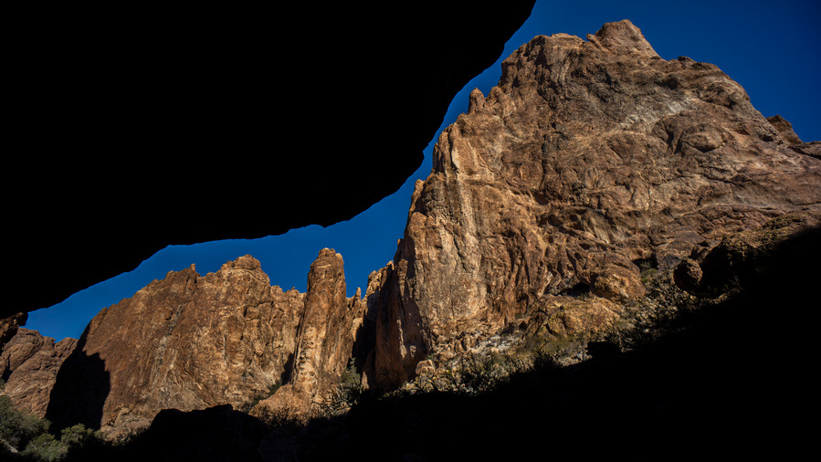
Mt Nutt Wilderness, Section 6. Narrow canyons such as these caused inaccuracies and exaggerations of my original recorded GPX track
The tracks I recorded on my original 2021 hike included a lot of extra exploration, backtracking, peak bagging etc. Not to mention the “bouncing effect” of a GPS in a deep or narrow canyon, where the position jumps around creating a scattered mess of impossibly unrealistic tracks. Big thanks to Buck30 for spearheading the effort to clean up these tracks into the more polished version I’ve linked to above.
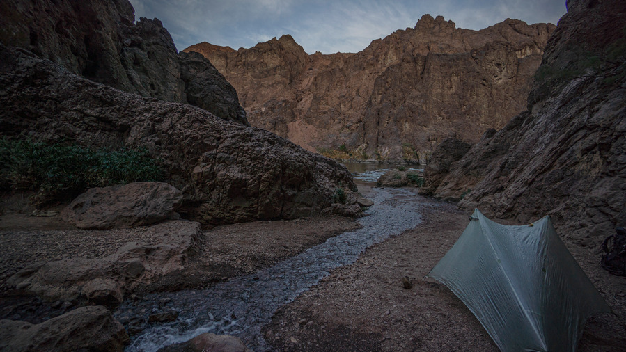
Camp near Gold Strike Hot Spring, an out-and-back alt in Section 4
I’ve also changed the route to make all “out and back” hikes their own alternate route, instead of just including them as the main route. This shaves miles off the main route in many places, making each section “shorter”. You should really consider hiking most of these out and back alts, which are usually fairly short, as they often contain highlights of the section.
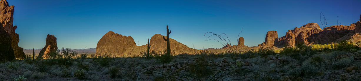
Kofa Wilderness, Section 9
Also note the addition of a new folder “B30 Alternates” in the official MST caltopo map. Some of Buck30’s alternate routes became part of the official route, as mentioned below in the changelog, and others that did not become part of the official route are presented to you here in this folder.
Route Change Log (Sobo Direction)
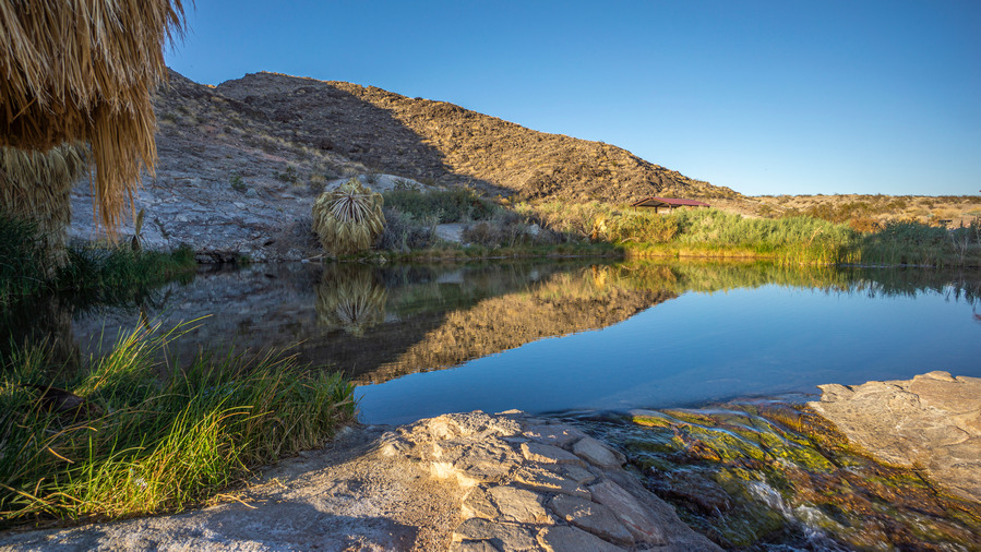
Rogers Spring, Section 1
Section 1 – After Rogers Spring, moved route off paved Northshore Rd making a more direct route to Echo Bay. Buck30 hiked this route in Jan 2026 and says “I took this alternate to Echo Bay, its a bit of wash and then remote powerline/jeep roads. It gets you off the pavement 3 miles early and is a fine route.” My original route explored a very steep canyon farther west of Roger’s Spring, as I was looking for a route through the Muddy Mountains if I had come up and over the ridge at Fire Alcove. The canyon proved to be too difficult and this route became the obvious choice moving forward.
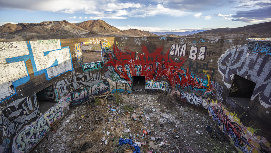
Three Kids Mine, Section 3, March 2022 before housing development leveled all this
Section 3 – Route modified to bypass new development at the site of the old Three Kids Mine, which WAS an interesting, eclectic stop along the route. This new route cuts off about a mile, is more direct and easier. RIP Three Kids.
Section 5 – Minor change to the way the route leaves town. More direct, cuts off about a half mile. Hardly worth mentioning.
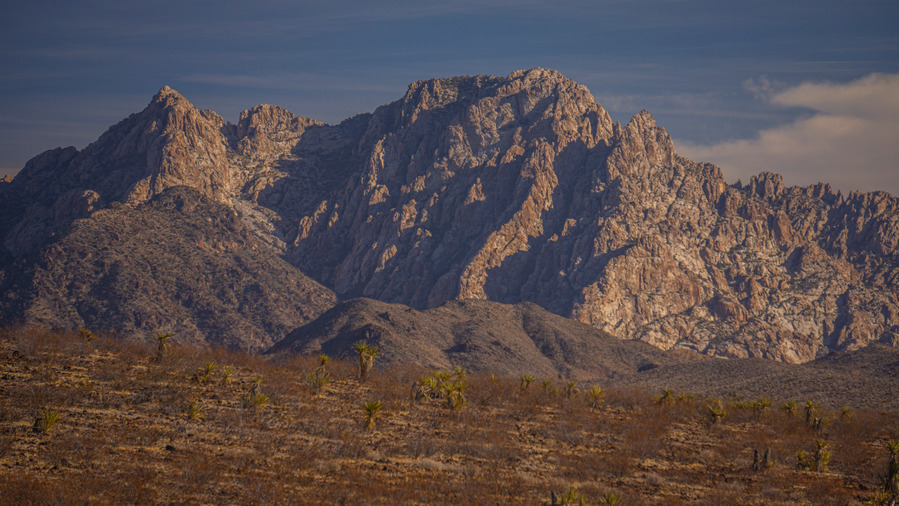
Spirit Mountain, Section 5
Section 5 – A minor change to the end of this section provides some big benefits. The old route crossed over David Dam and required either a hitch into Bullhead, or a couple miles of hiking, to the north end of town. Then one would need to hitch back and continue on a pretty uneventful hike through a wash for a couple miles at the beginning of Section 6. The new route, as hiked by Buck30 in Feb 2026, heads south along the Colorado River at the Sportsman Paradise Campground and takes the hiker right into Laughlin, NV. Here there are dirt cheap casino hotels and fast food restaurants. The downside is the grocery stores are all in Bullhead City, several miles south of Laughlin on the opposite side of the Colorado River. Nonetheless, Laughlin as a resupply point seems like an enticing option compared to the sprawled out town of Bullhead City.
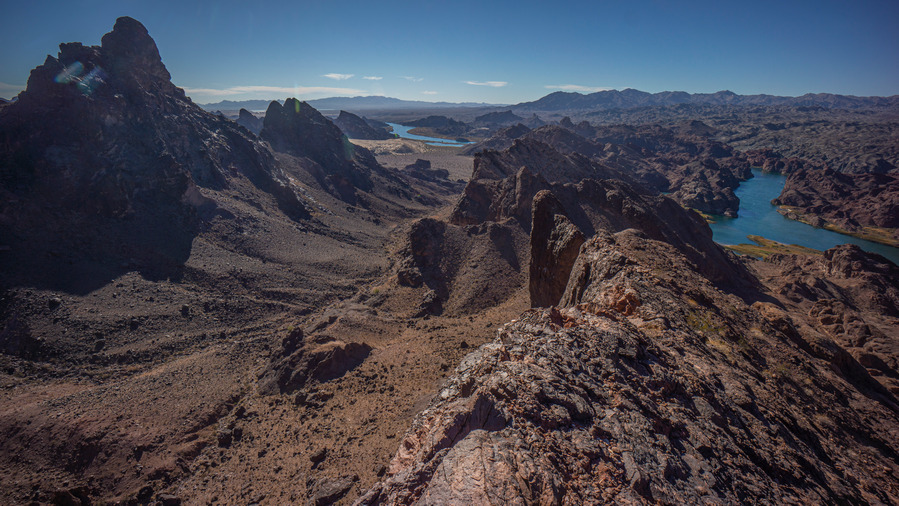
Havasu Wilderness, Section 6
Section 6 – Buck30’s Feb 2026 route out of Laughlin/Bullhead City will become the official route here. Basically, it follows a route south of AZ68 now, instead of north of the highway. It’s nearly 2 miles shorter, avoids private property, and is much more straightforward and direct now, following only the coincidentally named Buck Wash Rd (named after Buck30 I presume!) to Thumb Butte, where it rejoins the old route.
The Brenda, AZ Resupply Option
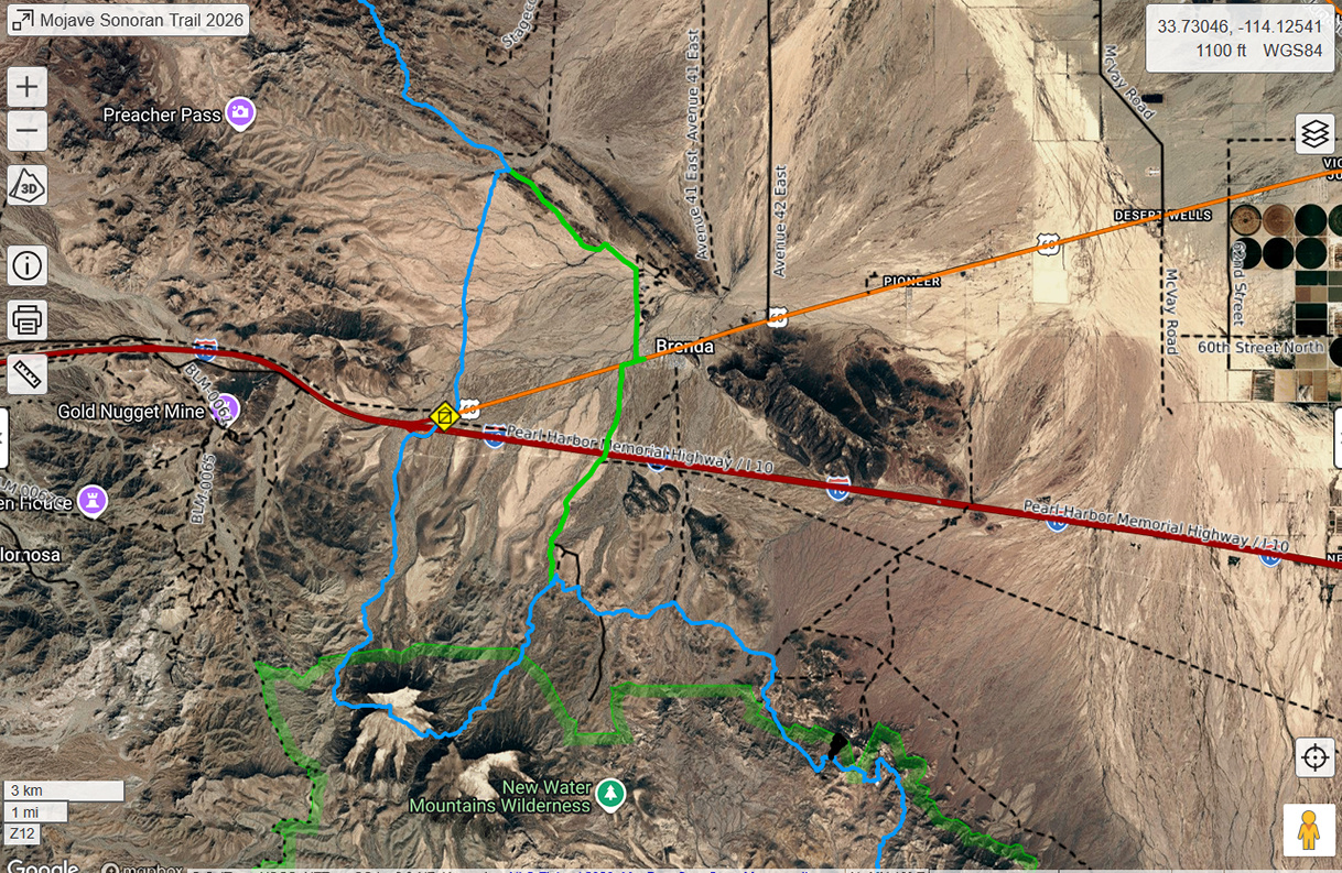
Blue is the official MST Route, green route is Buck30’s Brenda resupply route
At the end of section 8, I hitched into Quartzsite to resupply for the final section. Alternatively, Buck30 resupplied in Brenda, a small RV community 3.75 miles East of the spot along hwy 60 where I hitched. Brenda has a small convenience store(Buckaroo’s) and a restaurant. They did have an Amazon locker until recently, however it’s currently marked as temporarily closed. Water should be available, as there are several hundred RVs here. You could probably arrange to have a package held by calling the store, but this is completely unconfirmed. There may or may not be a place to spend the night, you could always ask the folks at Buckaroo’s if there is a trailer to rent.
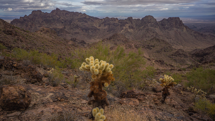
Plamosa Mountains, Section 8. About 7 miles north of hwy 60/Brenda
If you choose to resupply in Brenda, you can just hike in without the need for hitching. This route can be found in the B30 Alternates folder of the MST caltopo map. Also note that Buck30’s route south out of Brenda cuts off the rather brutal hike up and down Black Mesa. This is probably the way to go for most hikers.
Black Mesa, southern Plomosa Mountains, Section 9
Choose to resupply in Brenda over Quartzsite if you are ok with a very limited selection of food from Buckaroo’s Market, want to avoid hitching, and looking for an easier overall route. Choose Quartzite if you need a hotel, more food selection or other town conveniences, and don’t mind a tough hitch.