Description
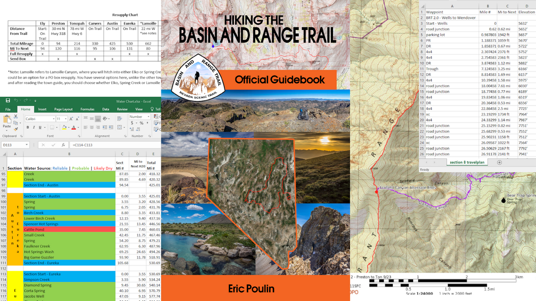
If you are considering a hike of some or all of the Basin and Range Trail, this official planning kit is the most comprehensive resource available.
The Complete Basin and Range Trail Planning Kit Includes:
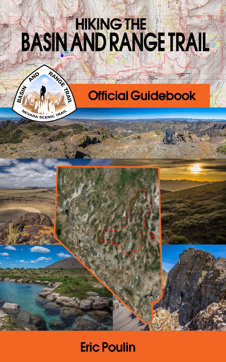
- The official Basin and Range Trail Guidebook: Everything you need to know about hiking the BRT, including towns & resupply, detailed walkthroughs of each section, logistics, general info and tips regarding the route
- 1:24k PDF Topo Map Set: USGS maps with shaded overlay marking the route, water sources and waypoints
- GPX files for Tracks & Waypoints: Tracks for standard route & alternates, waypoints for water, campsites and points of interest
- Water Chart Excel Spreadsheet: Each water source color-coded by probability of having water, with notes and comments on each source
- Waypoint Excel Spreadsheet: Waypoints for navigation and water sources in an excel file for quick reference. Plan with this, keep on your phone in the field for reference
- Access to ALL future updates to the above information for FREE, for LIFE
Basin and Range Trail Official Guidebook:
The Basin and Range Trail guidebook provides all of the information you need to plan a hike of any length along the BRT. Everything you need to know about the seasonality of a thru hike attempt, resupply strategies, type of hiking and terrain encountered and much more is covered in detail here in this guidebook.
A list of some of the major topics covered in the guidebook:
- Resupply & Town Guide
- Trail Guide For Each Section
- Alternate Routes
- Mapping & Navigation
- Introduction to Hiking Nevada
- Climate & Weather
- Seasonality & Timing of a Thru Hike Attempt
- Safety Concerns
- Skills & Experience Needed
- Permits & Regulations
- Finding Water
- Camping
- Hitching
- Gear Needed
- Wild Life
- Bushwhacking & Off-Trail Hiking
- Books & Websites for Additional Planning
- And MUCH More!
Basin and Range Trail GPX Files:
This is the single most important resource of the entire package. You can use the GPX file to import into your favorite mapping platform, such as caltopo, and modify the route to fit your needs. You can create and print an updated PDF map set if you modify the route, and most importantly, you can use the supplied GPX file to navigate with in the field using your GPS or your smart phone, providing you have downloaded the necessary map tiles to use offline. This works extremely well!
- Standard Basin and Range Trail route
- Alternate routes
Waypoints:
- Water sources, color coded by probability of having water, with notes for each
- Resupply points
- Navigational waypoints: turn by turn waypoints (except where hiking cross country) indicating when surface type changes between paved road, dirt road, 4×4 road, single track trail and cross country hiking
Basin and Range Trail PDF Topo Map Set:
The Basin and Range Trail PDF map set uses USGS maps at a 1:24k scale, and uses a shaded overlay to enhance terrain features on the map. The map set includes all navigational waypoint markers, indicating when the surface type changes, from 4×4 road to cross country hiking, from cross country hiking to a single track trail, etc. Water sources also also displayed on the PDF map set, and they are color coded for a quick and easy way to determine how reliable the next water source is. All waypoints and tracks are labeled on the map. Boundaries for National Forest lands, Wilderness and Wilderness Study Areas are also displayed on the map. These maps are ready for you to print out, or simply add them to your phone to use in the field for navigation.
*Note: Use the included Waypoint Excel Spreadsheet for a quick reference to all the waypoints along the route.
Basin and Range Trail Water Chart:
The Basin and Range Trail water chart provides a fast and easy way to reference over 190 water sources along the route. This excel spreadsheet is broken down by section, and lists each water source in order they are encountered along the trail. Each water source has a mileage for the current section as well as a trip total mileage. Water sources are color coded, so you can quickly look at the chart and determine the likelihood of finding water at any given water source. Each water source is label as visited or not, so you can be sure that the info you are reading is verified or based solely on research. Notes for each water source are given to provide further details on the source… how to locate it, how good or bad the access is and how easy it is to collect from, water quality etc.
Basin and Range Trail Waypoints Excel Spreadsheet:
A waypoint excel spreadsheet is included for each of the 10 sections along the Basin and Range Trail. Each waypoint lists the mile # for that section, miles to next waypoint, elevation for that waypoint, the elevation gain or loss for that leg, leg time, total time, bearing and coordinates. The waypoint excel spreadsheet is meant to be a supplement to the PDF map set and the GPX file. Keep this spreadsheet on your phone and quickly refer to it in the field as needed.
NOTE: Currently, there are some accuracy issues with the mile markers for the waypoints in the waypoint excel sheet. The mileage in between points should be accurate, but the mile marker for that waypoint (the Mile # column) has some accuracy issues due to the limitations of the service used to using to create these sheets. In the meantime, these sheets are still being offered as part of the package because of the value they still provide; an easy to view list of the waypoints, elevation, coordinates etc.
File Size:
The Complete Planning Kit is roughly 170MB. Much of the size of this package comes from the PDF Map Set, with each of the sections producing a 15-25MB PDF.
Updates:
Your purchase includes updates to the above information for FREE and for LIFE. This is perfect for those who are planning a trip several years in advance, and wish to have access to the latest information as it becomes available. Updates will be sent out via email to all buyers with a new download link upon release of a new version of any of the pieces of the Complete Planning Kit.


Leave a Reply