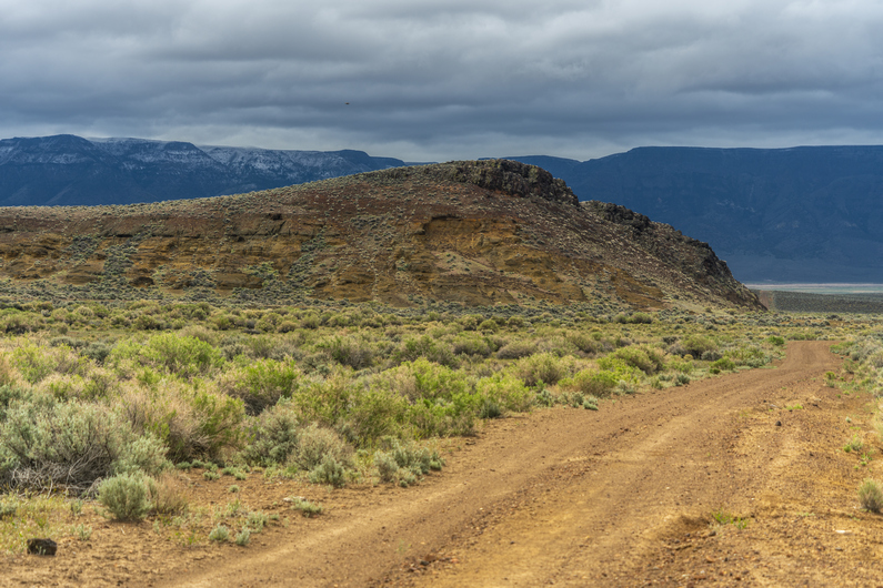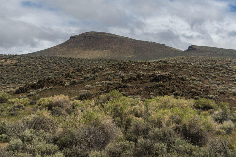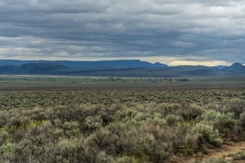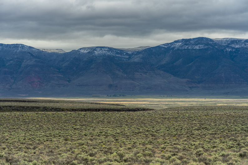
Creating new thru-hiking routes & guides, hiking videos, outdoor documentaries, backpacking trip reports, trail journals, photos and more!

Latest

Oregon Desert Trail Section 5: Plush to Frenchglen (2022 Thru Hike Journal)

Day 18: Crossing Hart Lake

May 29th
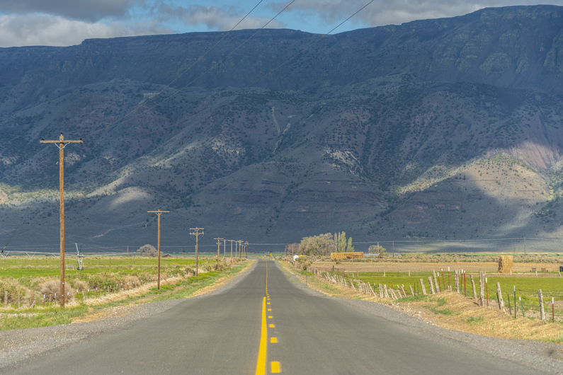
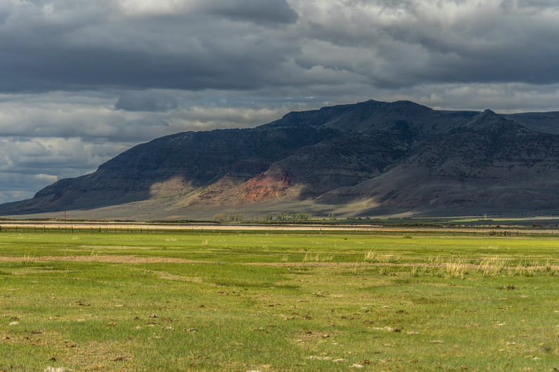
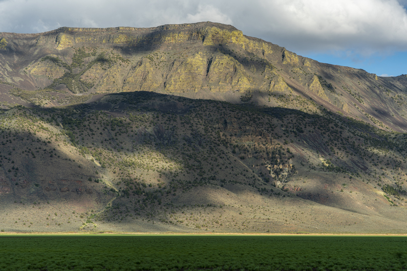
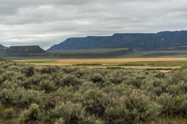
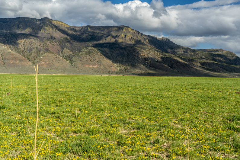
I left the Hart Mountain Store at 4:30pm. The first couple miles are on paved roads. With Hart Mountain as the backdrop, this is one road walk that’s tough to complain about.

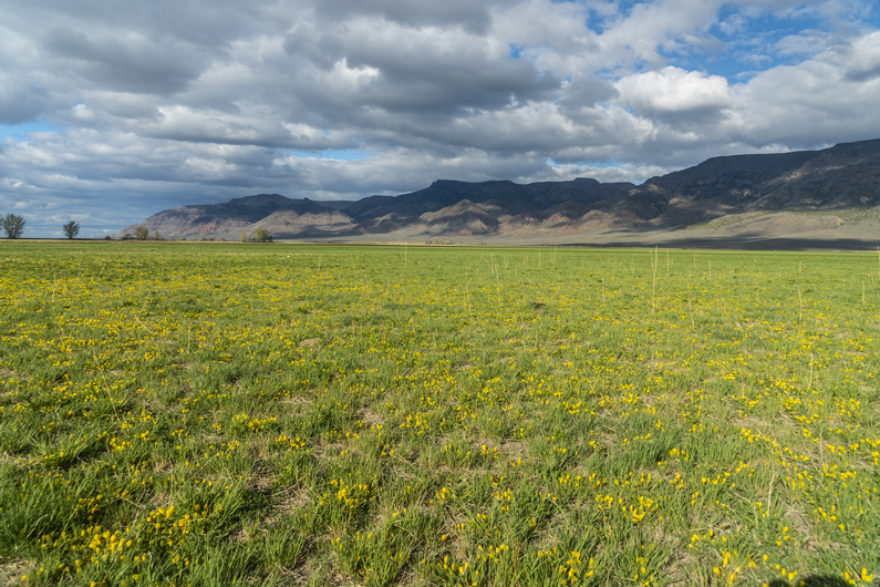
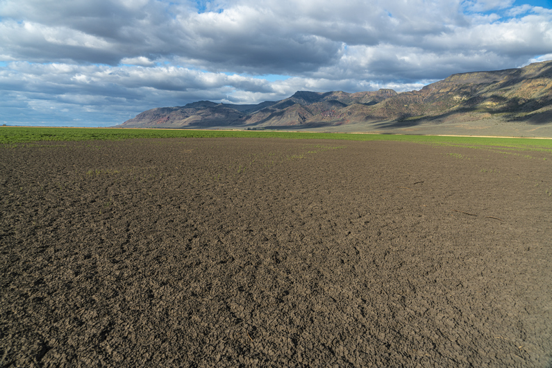
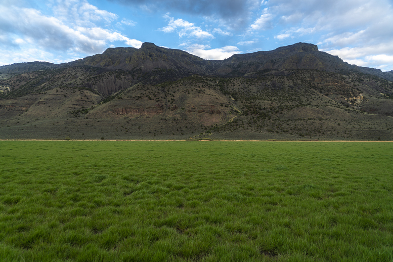
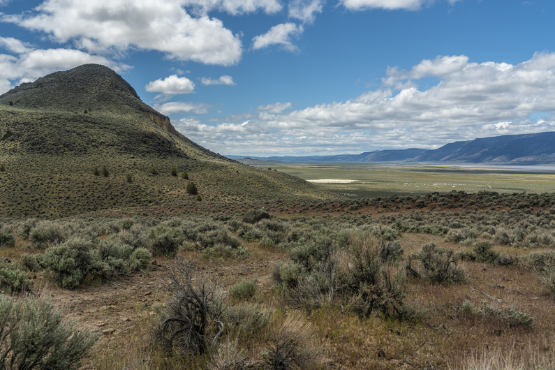
Hart Lake is just one lake In a chain of lakes running through Warner Valley called Warner Lakes. When I reached the lake, I could see it was not what I was expecting. I thought it would dry mud or sand, but instead it was full of green grass.

As I neared Hart Lake, I ran into a guy named Alan who I met earlier today outside the Hart Mountain Store. He was out doing some section hiking on the ODT, and had been on the other side of Hart Lake and now driving back into town. He said it looked like we could cut across the lake to shave off a few miles, instead of road walking around it on the official ODT route. And that’s what it looked like to me as well. Sold, I’ll give it a shot.

The first bit of walking across Hart Lake was easy. Again, the backdrop of hart mountain was awesome. I chose a notch In the ridgeline on the other side of the lake to help keep my course as I hiked across it.

Towards the middle of the lake, it was becoming increasingly muddy, then pools of water. If it weren’t for yesterday’s rainstorm, or if it was the middle of summer, this plan probably would have worked out flawlessly. However, I had to backtrack towards dry ground and take a different route. Any time savings I would have realized have probably been wiped out by now. This is a perfect example of how the shortcut turns into the long cut.

I didn’t have to go back across the lake, though. I just had to backtrack to dry ground, then change my trajectory to the east more, instead of south. This route still cuts off miles from the original route, but one can’t angle too far south. Aim more for the east shore, north of the peninsula.

It was after 7:30 now when I reached the road on the east side of Hart Lake. Here, I took some time to clean the mud off the bottom of my shoes, clean my insoles and knock the loose dirt out of my socks. You know, like I do 10x a day on the ODT.

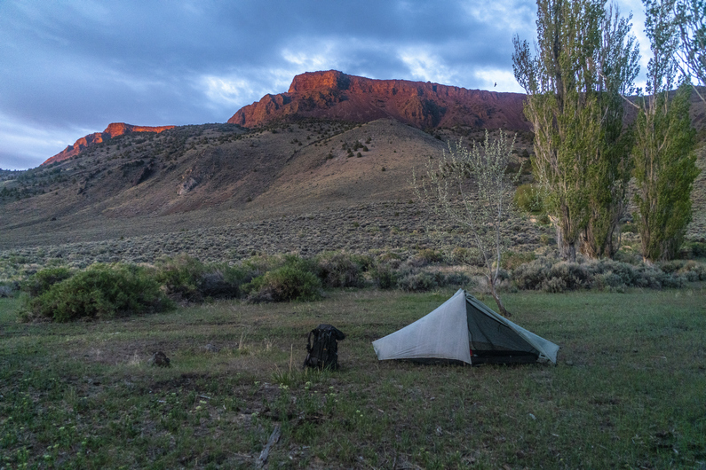
I hiked another mile or so before finding a pretty decent campsite nestled in the trees. I’m not going to find anything better than this, and I’m running out of daylight. Set up my tent, crawled into my quilt, and called it a day.

ODT Day 18 Map

Day 19: Hiking Up to Hart Mountain

May 30th

I was hoping to have the sun hit my tent this morning, but that didn’t happen. When I opened my tent, clouds were obscuring Hart Mountain. Another cold, windy and cloudy day. Lucky me.

I was pretty annoyed this morning with the persistent crappy weather that has been plaguing this region. This put me in a bad mood all day. By the time I packed up my tent, I couldn’t feel my fingers. It’s almost June. This is dumb.

I continued walking the dirt road around the shoreline of Hart Lake. I passed a gravestone from the Civil War era. A soldier who had died from wounds. This was pretty unexpected the way out here, far away from the battlefields of the Civil War.

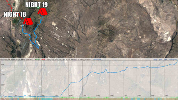
It’s going to be a long hike up into the mountains today. The route follows a very rudimentary U-Shape, taking me roughly 11 miles in one direction, only to turn around and hike 11 miles back the other way. This was mostly necessary to gain the ridgeline of Hart mountain. I say mostly necessary, because I plotted out another route that I could have taken to cut off at least 6 miles. Of course, this would require some climbing up steep slopes, xc. I’ll have to get my eyes on that option when I get to the junction, later.

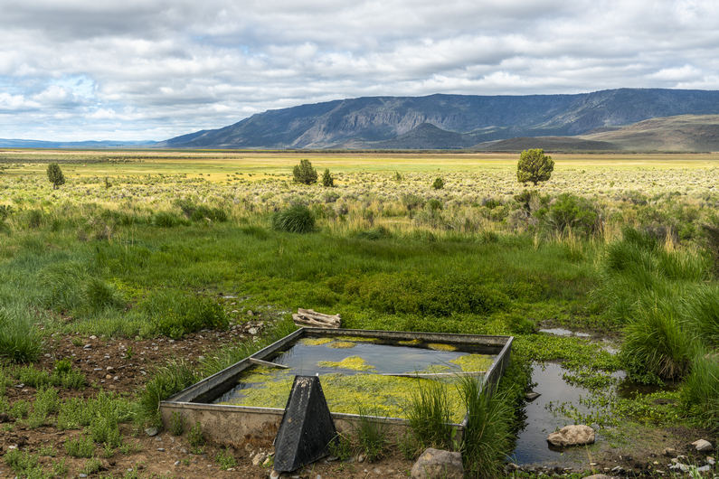
I reach an old homestead with a spring. I left Plush yesterday around 4:30 p.m. with 2L of water. I drank maybe half a liter of that to this point. Looking back, I should have got water here. Instead, I stop for some food and move on.

Behind this homestead is my potential shortcut route, near riffle canyon. It looks pretty feasible, but I opt to stay on the official Oregon Desert Trail route.

I follow the base of the mountains towards Fisher Canyon. The sun is coming out more now, and for the first time in a few days, I’m actually warm enough to wear shorts. At least, when I’m moving, It’s warm enough.

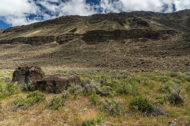
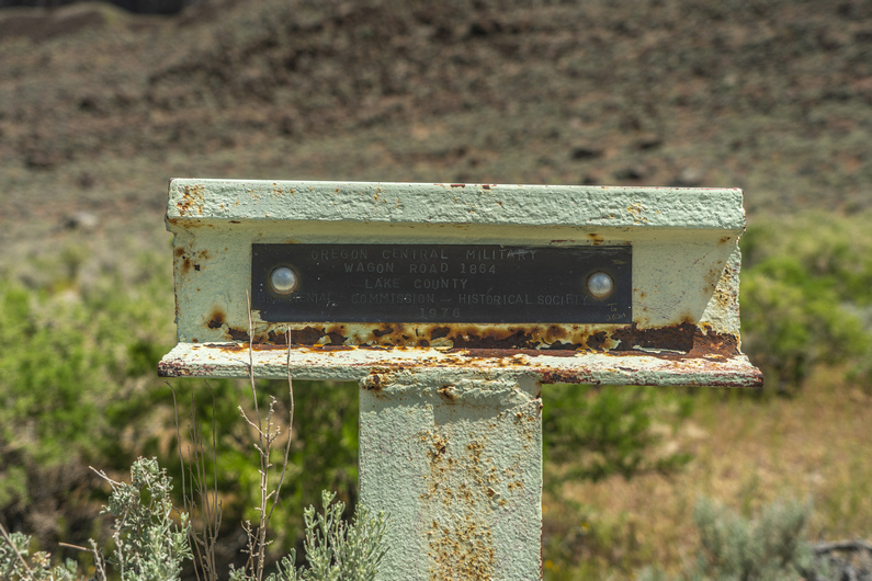
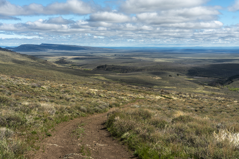
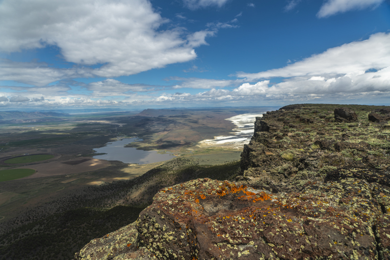
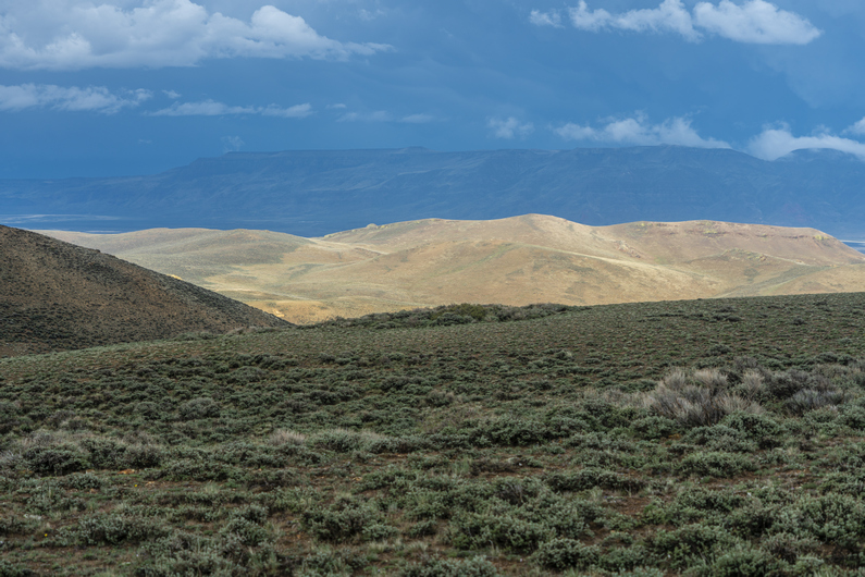
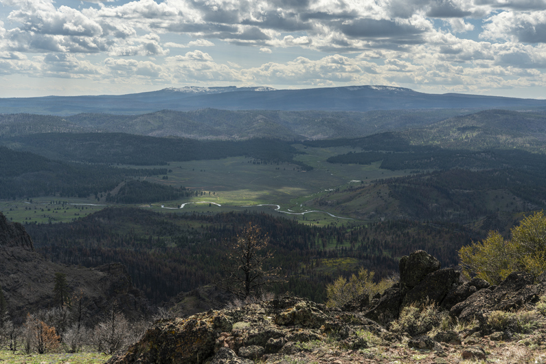
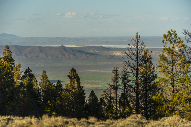
An old Oregon wagon road from the 1860s leads up Fisher Canyon. The views over Warner Valley and the dried Crump Lake are pretty nice.

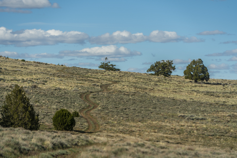
Climbing out of Fisher Canyon, there’s a small rocky ridge to the north. The ODT route continues to go all the way around this, but If I Just climb up about 250 ft over a half mile, I can cut off a mile and a half. It’s an easy cross-country walk that takes 10 minutes, saving probably a half hour or so. And the latter half of the shortcut is on old, faded 4×4 roads. This one’s a no-brainer.

The views over Warner Valley from here were my favorite of the day. I stopped here for lunch. However, every time I stop, It’s just so cold. I put my pant legs back on, and add a few layers again.

Next I cross a valley on the west side of Wool Lake. Dry, of course. They all are. Nice hiking here.

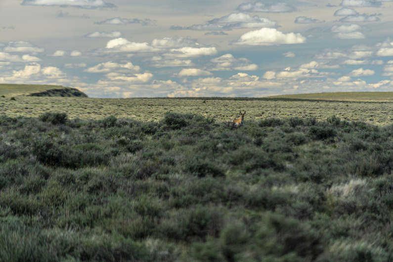
I go up over a small ridge and drop down into another valley. I hike across this, up over a small pass, and drop down to a big flat. Here, I see my first pronghorn of the hike in the grasslands below.

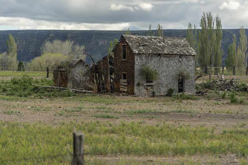
Walking through Big Flat, I come across an old homestead. This one is a little more extensive than the one I saw this morning. Besides the main house, there are a few barns and other structures. The house itself had a fireplace, with a wood mantle inside. However, It was pretty dilapidated. Not only the typical holes in the walls and roof, but It was home to many birds nests and even some cows, who had been crapping In the bedroom. Won’t be staying here tonight.

Next, I encountered Warner Creek. I wasn’t sure if I could cross it without getting my feet wet, so I decided to stop here and filter water first. That way, if I do get my feet wet, I won’t be standing around water afterward, I’ll be moving and warming them up.

I was able to cross the stream by hopping across some soggy patches of grass. Whew. Just sitting there filtering water, I was chilled to the bone. The weather forecast for today was 50° in Plush. Add another 1500 to 2,000 ft And that drops to 40°. Then add 15 to 20 mile an hour winds and the lack of sunshine due to the constant clouds, well, you do the math. Weather math. That’s cold! And I’m pretty tired of it.

A few miles up, I encountered Box Creek. I had to take my shoes off to cross this one. No way am I going to get my shoes wet, just an hour and a half before camp. I don’t want to put on cold wet shoes in the morning. Plus, my feet were still pretty tender from walking all day in the rain 2 days ago. Sometimes you gotta make smart decisions.

Next, I passed Guano Creek and Post Meadow. It’s almost 7pm now. My stomach Is feeling a little upset, and I’m not feeling like hiking much farther. I find a camp spot away from the road with a good view, but a little exposed to the wind. I’m pretty tired and ready for camp, so I settle for a lumpy spot. With 25 miles hiked today, I feel pretty good about my progress. Still, I didn’t catch up to Heavy Teva or Donny. There’s always tomorrow. And it better be warmer, damn it!

ODT Day 19 Map
Day 20: Hart Mountain Hot Springs

May 31st

When I poked my head out of the tent this morning, I was disappointed to see that the sky was still cloudy. It did feel a bit warmer, though. I even had condensation in my tent, which was surprising considering the fact that I was up high on a hill and exposed to the wind.

Started hiked at 8:15. It’s been nice not feeling rushed to start any earlier. On the CDT, every day I felt the pressure to cover miles. But not here. What’s the hurry? To get 30 instead of 25? Seriously, who cares.

Hiked up Guano Creek after breaking camp. It was surprising to see pit toilets along the road, even if they were 50 years old. They were missing the doors, and even the walls. A toilet with a view, nice.

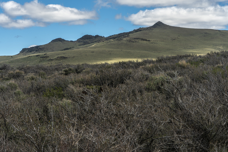
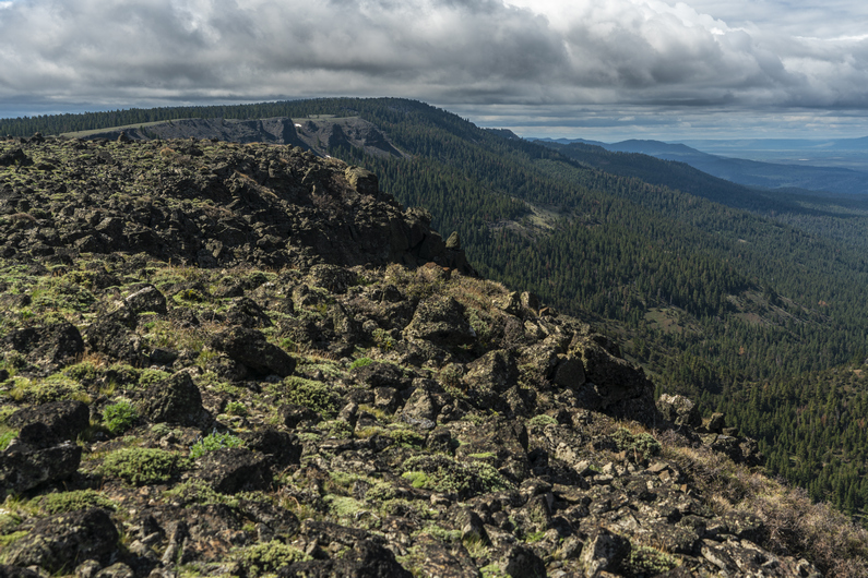
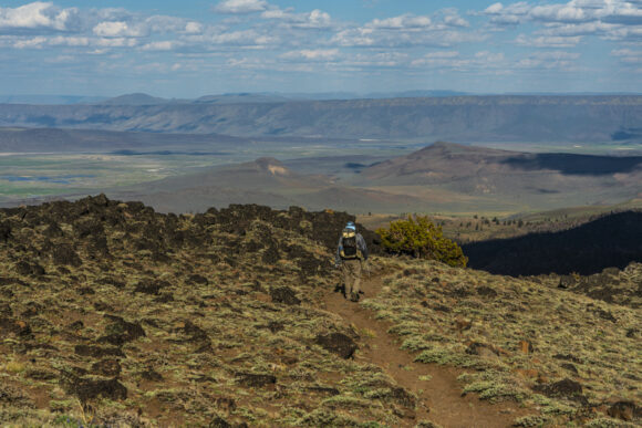
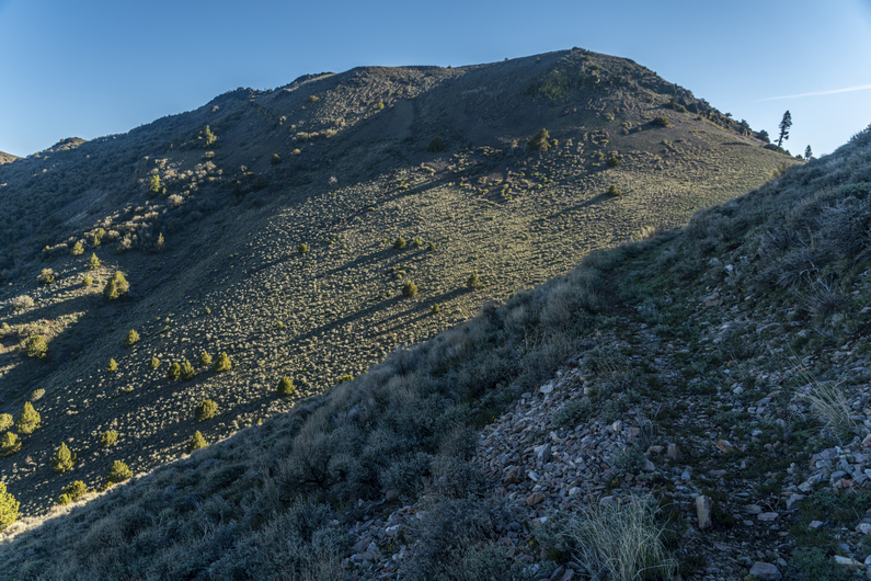
Reached the top of the pass, having climbed about 700ft. The views now were pretty so-so. In fact, ever since climbing out of fisher canyon, it’s been just ok. It makes me wish the ODT was routed along the top of Hart Mountain, instead of along the base of it. Surely, the views from the top would be impressive!

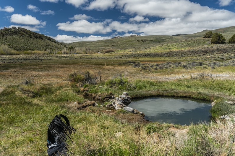
I descend the pass and hike a few miles to hot springs campground. There are about 5 vehicles here. I head over to the Hot Springs, and see Donny in one of the pools. It’s not long before I drop my pack and join him. This pool was pretty warm at first, but quickly becomes just the right temperature.

Donnt and I discussed the events of the previous day and a half, since I had last seen him in the Hart Mountain Store in Plush. It turns out, he camped about a half a mile up the road from where I camped last night. Heavy Teva had made it here to the Hot Springs Campground last night, and had taken off early this morning.

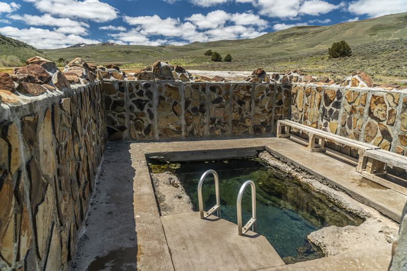
After soaking in this pool, we moved over to the main pool. This one had a cement wall around it, among several other improvements; cement ground around the pool, ladder, wooden bench etc. It was too deep to sit in, but just right to stand up in. Probably not as warm as the first one we soaked in, but still very nice.

A cool water creek flowed just outside the walls to this hot spring. I filtered water here, set up my solar panels in the sun to charge electronics, cleaned my socks, shoes and pant legs as these were all covered with dirt and mud. I ate lunch as I waited for this stuff to dry. After eating his lunch, Donny hit the trail again sometime after 12:30. I ended up staying until 2:00, as my shoes took a long time to dry.

I was in a great mood as I walked away from the hot springs campground. I’m clean, the temperature was perfect, and it was mostly sunny for the first time in days. It was a dirt road walk, but because of the above, It didn’t matter. I just felt good.

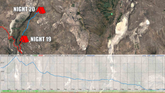
I reached the Hart Mountain Visitor Center around 3:30, and filled up 6L of water here. It’s 40 miles to the next water source, at Miller Place.

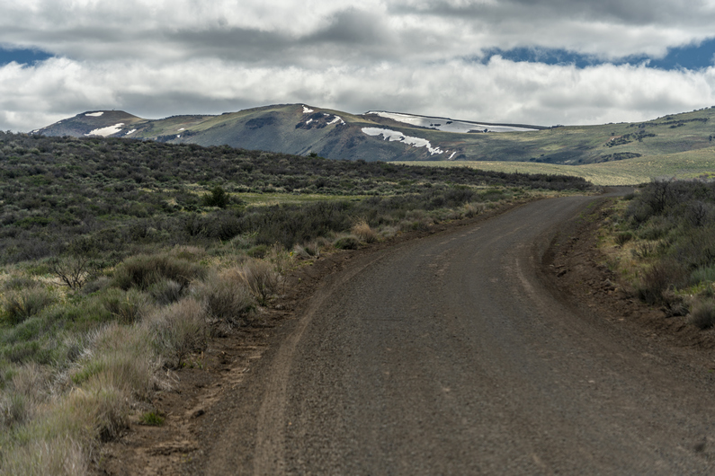
After leaving the visitor center, a large dirt road leads to a smaller dirt road, which eventually leads to an even smaller one. For the first time along this hike, I’m seeing a ton of Jasper on the ground now.

I’m walking the base of Poker Jim Ridge now. I stop for a quick dinner break at 5:00, about 15 minutes after I start walking again, I see Donny In the distance. It looks like he has stopped for a break. I catch up, and sit with him for a minute. We discussed the logistics of when we’ll reach Frenchglen for resupply. From the Visitor Center, it’s 63 miles to Frenchglen. We will probably knock off another 10 miles this evening. The route ahead looks flat and easy, along dirt roads. It also looks fairly boring. We are both thinking big mile days are possible here. It’s Tuesday evening, I’m thinking late Thursday, or at the worst, get into town early Friday morning and nearo.

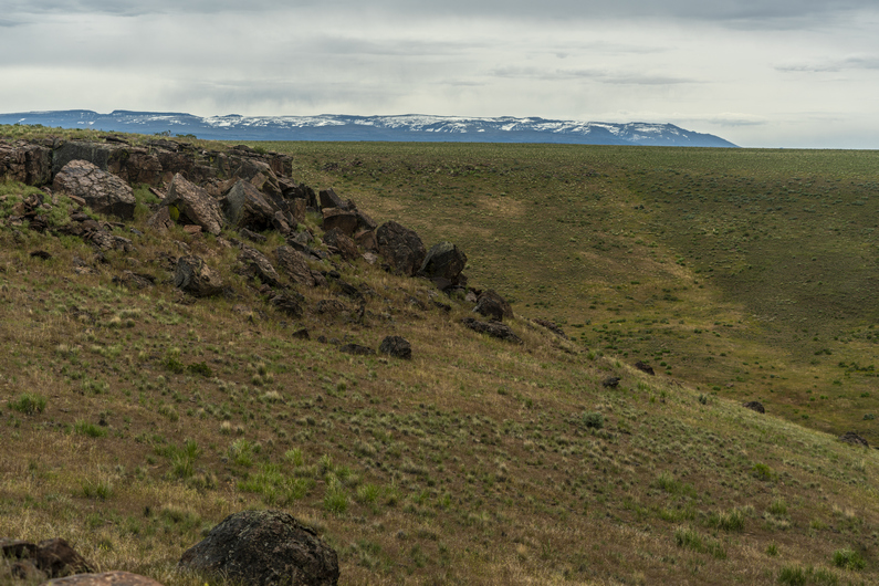
I go ahead of Donny, and the road quickly fades from here as I reach Rock Creek. It’s a pretty crappy bushwhack through Sage brush and a ton of larger boulders strewn about in the soft sand. I gave up on the road and just started hiking cross-country.

The route along Rock Creek was not any better. In fact, it was probably worse, but there was no road to follow. It’s going to be off-trail hiking either way. The soft sand was terrible. There were also many burned log stumps barely sticking out of the sand to trip over. Miserable.

After hiking xc 2.5 mi along Rock Creek, I reach a dirt road. However, this ODT route does not take this road. It continues cross-country for another 5 mi. At this point, I have no interest in doing that. It looks like the road on the map meets back up with the ODT route again, but will add about 2 miles. At this point, I would rather hike an extra 2 mi then do any more xc hiking through that deep sand obstacle course.

I followed a very old and faded dirt road, which was mostly sand. The sun had just gone down below the horizon, and I had not seen anything even close to resembling an acceptable campsite. Just sage and sand. But then, alongside the road, I saw an area clear of sage. It was very flat and level, but had many rocks sticking out of compacted mud. It was very solid, not loose sand like everything else. So, time to dig out all the rocks and made myself a pretty good campsite. Good thing too, it was after 8:30 now and there wasn’t much daylight left. The final fading rays of sun colored the cloudless sky a beautiful pink hue. Desert sunsets are always special.

ODT Day 20 Map
Day 21: 40-Mile Water Carry

June 1st
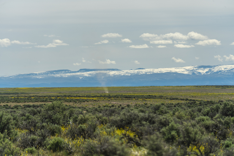
Woke up this morning and put shorts on right out of bed for the first time in a while on this hike. That’s what I like, waking up to shorts weather! I’m pretty sure I heard a wolf howling last night. I wouldn’t have believed they are in eastern Oregon, if it weren’t for the locals in Christmas Valley telling me they are here. And now to hear one for myself. That is cool.

This morning, I continued walking a very faded, but halfway decent 4×4 road. At the junction where I turn north, the road turned to shit. Figures, I’ll be on this one for 3.5 miles. It was all soft sand, and the road had pretty much faded away.

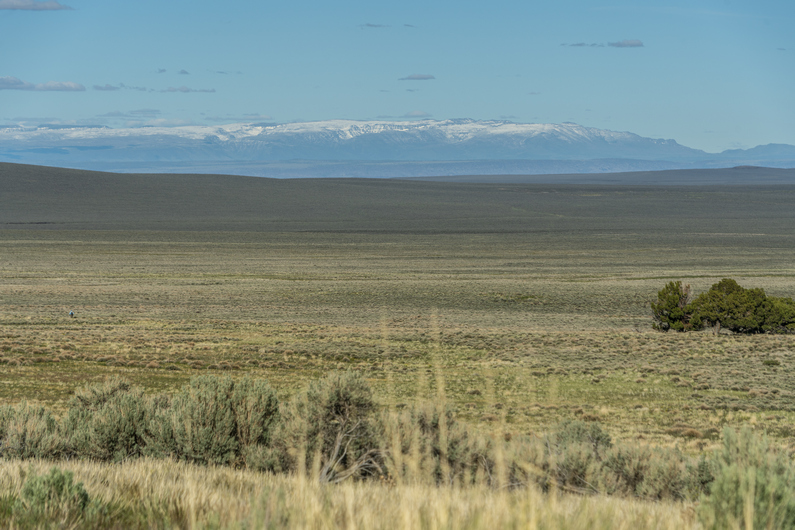
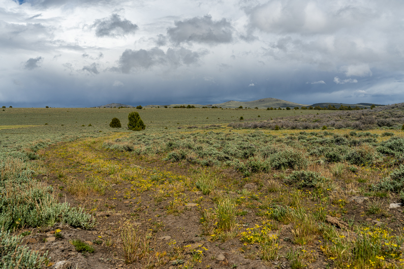
After meeting up with the official ODT route again, I was on another pretty crappy dirt road. There’s nothing but sagebrush around, It’s very flat and beyond a couple of distant landmarks. It was incredibly boring. It reminded me a lot of the great divide basin in Wyoming on the CDT, but with way shittier roads/route.

There was another road junction, where the road pretty much disappeared. Very frustrating to be looking at a road on the map, and then end up doing cross-country hiking when you get there. I was getting pretty frustrated with this section of the ODT. Everything after the Hart Mountain Visitor Center.

I went over a hill and saw Donny around noon. He was eating his mashed potatoes for lunch alongside the road. I sat down and joined him, and we swapped stories about how much we were hating this section. Endless sage, shitty deep sand xc hiking, no views of anything.

We hiked together for another 2 hours. I found a large obsidian Arrowhead in the road, or perhaps a knife; It was missing the tip and the base, so I couldn’t tell what it was for sure. It was about 5 in long though, a very good size.

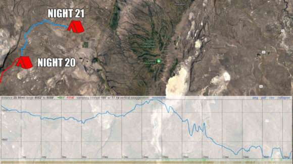
We parted ways around 3:30. I wanted to knock down some miles today, so I put it in high gear. My goal is to reach Miller Place, the next water source and end of the 40-mile water carry. It’ll be close to a 30 mi day for me, by the time I reach it.

The rest of the afternoon was pretty uneventful. I jammed out to some music, put my head down, and thought about anything other than my current situation. These are the stretches of long distance hiking that people gloss over when recalling their adventure. The less than glorious times, the awful times. At least here, I had a pretty decent road to walk now.

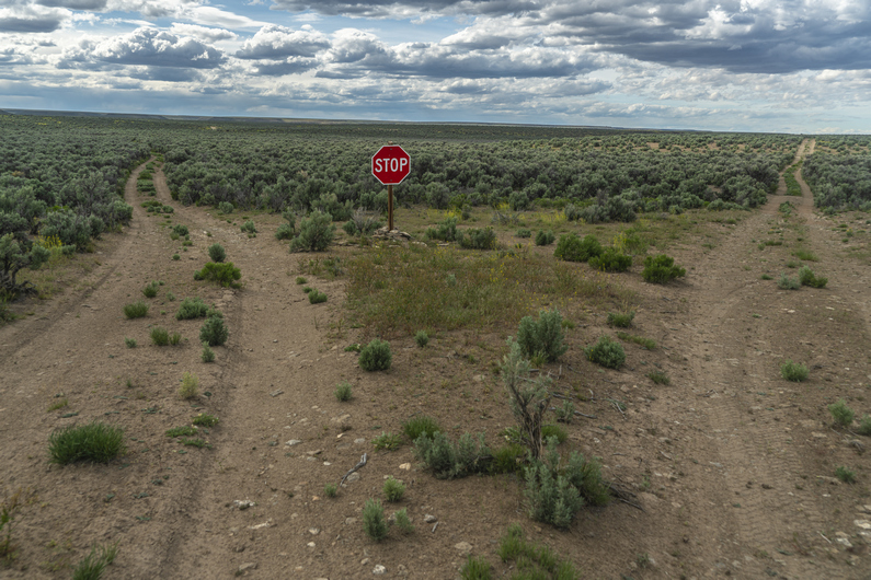
I reached a random stop sign at a road junction. It’s been over 30 miles of hiking since I was last on a road that deserved a sign of any kind, and these roads didn’t look like they warranted signage either. It’s probably another 27 miles to Frenchglen from here, and Frenchglen only had a population of 12. Indeed, this stop sign seemed out of place, useless and downright comical.

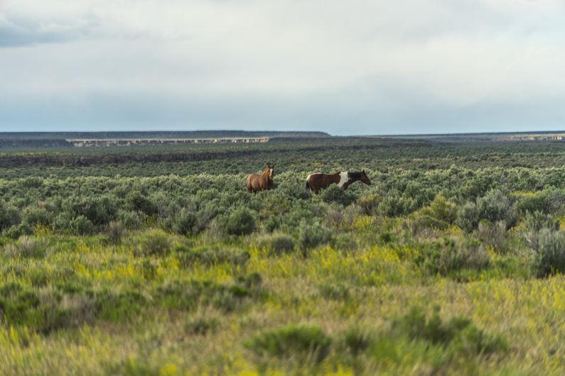
Not far after the stop sign, I missed a turn. I kept going straight through this nearly impossible to open gate, which I just crawled under. When I looked back, there were two wild horses behind the gate. I’m surprised I didn’t see them while crawling under the gate, they must have been close. This is when I realized I shouldn’t be here at all. I had to backtrack and go through the same gate again. At least it allowed me to get pretty close to the horses.

It was 6:00 pm now, and I had a 6-mile slog ahead of me to Miller Place. The clouds were building behind me, and looks like rain. I pass Mud Spring Reservoir, which has plenty of water, but is best suited for the cows that were standing in it. I’ll wait for Miller Place.

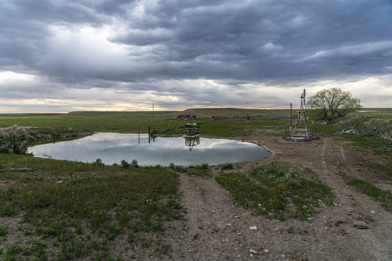
I reached the abandoned homestead at Miller Place and saw a large pond. There’s also a windmill, Which now appeared to be powered by an electric pump. There was plenty of good clean water here, and I could access it via spigot. The ODT water chart says that Miller Place is privately owned, by Rock Creek Ranch, and the owners have given permission to draw water here.

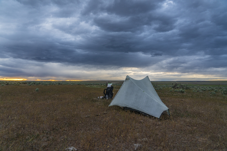
I walk up a small hill and leave the Ranch Property. Immediately on the other side of the fence, I see a good campsite. Clear and flat. I’m pretty tired, and this looks good enough to me.

I set up my tent and filtered water. While getting situated in the tent, I noticed a tick on my leg. This is the first tick I’ve had the ODT. It was just crawling on me, it was not burrowing yet. I treated all my clothes with permethrin before the hike, but I had none of these clothes on inside the tent. Unfortunately, I’ve been having issues with the zippers on the mosquito netting of one side of my tent vestibule, and I have not been able to close that side of the tent along this hike. That means bugs can just crawl right into my tent. I tried using the pliers on my Gerber dime multi-tool to clamp down on the zipper pulls, but the tiny little pliers don’t have enough force. All I can really do Is lay my permethrin-treated clothes alongside the tent on the outside, below the zippers for the mosquito netting, to hopefully prevent any ticks from crawling inside while I sleep. If I can get any sleep now.

Glad to be done with this day. A lot of effort expended with very little to show for it. At least I’ll be able to reach town tomorrow. I’m ready for a zero-day.

ODT Day 21 Map
Day 22: Resupply in Frenchglen

June 2nd

The cows were moaning like zombies just outside my tent after sunrise. Made it through the night with no ticks crawling inside my tent. Success.

I continued to hike a dirt road along some power lines. Mind-numbingly boring. It’ll be about 20 miles into town today. The faster I can hike this, the better.

I missed a turn-off for a cross-country segment, which resulted in more cross-country hiking to meet back up with the route. I had a couple of miles of deep sand and Sagebrush ahead of me. Furthermore, I was thinking it was going to be all dirt roads into Frenchglen today, So I was pretty annoyed with the xc. The cross-country segment was simply to avoid a private ranch. On the ODT, it seems like there’s always a ranch to walk around.

After hiking around the Ranch and meeting backup with another dirt road, I discovered a shortcut; follow the fence line east at waypoint 239, meet up with a road, follow this above Waterhole Canyon to waypoint 247. Looks to shave off about three and a half miles. Perfect.

There was a cow path along the fence line to follow, then I met up with a very solid dirt road. I walked this briefly before leaving it for a smaller dirt road. This road still was an easy walk, and it was becoming more scenic as well as I approached Frenchglen. My alternate route here stays high above Waterhole Canyon, which is fairly scenic on it’s own, but I think it would be worth hiking down in the canyon if I were to do it again. There looks to be a dirt road down there, roughly the same distance, and there looks to be a creek flowing though it.

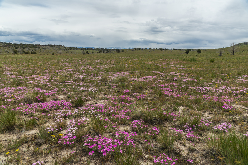
I looked it down and saw a bull snake, or perhaps a gopher snake, slithering across the road. Non-poisonous, non-threatening. I took a moment to watch him slither through the purple flowers, sage and rocks. No, snakes don’t scare me.

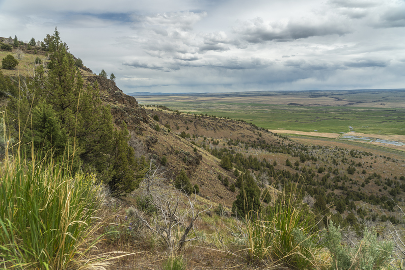
The final 5 miles into town were increasingly scenic. Sagebrush gives way to grass, plains turn into rocky canyons and cliffs. Finally, over the last hill, the town of Frenchglen is in sight.

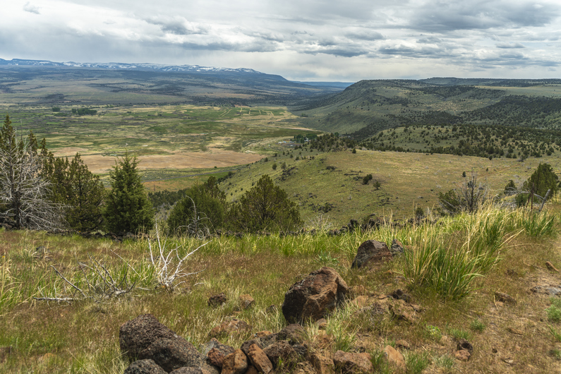
The views over Blitzen Valley and the Malhuer National Wildlife Refuge were really nice. Looking back at the cliffs that do down to the valley are equally impressive. The last few miles into Frenchglen were a really nice way to end this section, on a better note.

I hike into town, stop at the mercantile store forest for a cold drink, and to scope the food selection. Not too much, and no microwaveable foods or anything hot. Bummer.

Next, I stop at the Frenchglen Hotel and inquire about a room for the night. All booked, but the Drovers Inn had one room. $145 for the night, which is more than I want to spend. But they offer it to me for $120, and as whooped as I am, I take it.

I didn’t really want to spend $30 on pot roast dinner at the hotel, so I picked up some beers from the mercantile, as well as some junk food. A hiker trash dinner for sure. Got a hot shower, did sink laundry, and just relaxed. Ahhhh. Done with another section.

ODT Day 22 Map

Day 23: Zero Day in Frenchglen

June 3rd
Donny got into town early morning, as I finished breakfast at the hotel; Delicious pancakes, bacon and sausage!

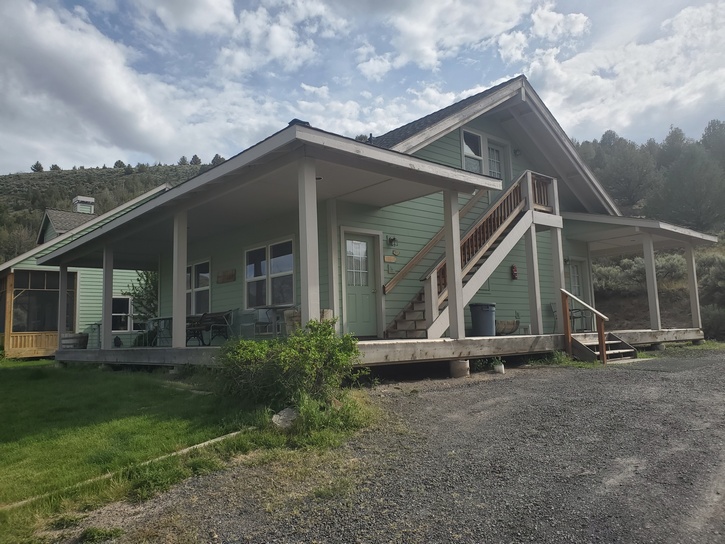
There were no rooms available tonight at the Frenchglen Hotel or the Drovers Inn, so we got a ride from a couple from Portland over to the Steens Mountain Resort, where we had sent our resupply boxes. It’s a RV park with tent sites and cabins. We got a cabin for the night, which was a great call vs tent camping, since it will rain tonight/ tomorrow morning.

I borrowed a pair of pliers from the owners to crimp down the zipper pulls on my tent, since they were not closing. This worked, and I fixed all the zippers on the outer fly and the inner mosquito netting. Awesome, a fully functional tent once again. Well, for a little while.

I also borrowed a needle and thread to repair a strap on my backpack. One of the shoulder straps was repeatedly coming loose, and needing constant adjustment. The strap material was wearing down and becoming too thin for the slider to keep it in place. So, I pulled the lower part of the strap in place, folded it over on itself, and sewed it together to prevent it from sliding. The upper strap can still allow full adjustment of the shoulder strap. This worked well, another easy fix.

–> Continue reading Oregon Desert Trail Section 6: Frenchglen to Fields (63 miles)

Back to Oregon Desert Trail Thru Hiking Guide & Journal index

Related Images:

Oregon Desert Trail Section 4: Lakeview to Plush (2022 Thru Hike Journal)

Day 16: Crooked Creek, Fremont NRT to Vee Lake

May 27th

I didn’t make it to the post office yesterday afternoon before it closed, so I had to wait until 9:30 am to send out my resupply boxes to Frenchglen, Denio, and McDermitt. I probably could have gotten away with not sending a box to McDermitt, but I wasn’t sure if they would have my staple food items at the Quinn River Market, so I just sent a box anyway. I also sent home my 16-35 mm lens, my gloves I had planned to use for bushwhacking, and rocks I found from the last few sections.

Donny, heavy Teva and I left the hotel around 10am and began trying to hitch out of town, back to trail. It took about 15 minutes, and we got a ride to the Mill Trailhead area along highway 395.

We resumed our hike by following the Fremont National Recreation Trail up Crooked Creek. The creek was flowing strong, and the canyon was scenic. Some really nice rocky outcrops among large Ponderosa Pines. Nice stuff.

It’s a 3,000 ft climb to the top of the crest from here. It was a pretty nice hike, for a while. We crossed the creek a couple of times by jumping it, hopping rocks across, and walking logs.

As we gained elevation, we started seeing snow along the creek. Eventually, There were more downed trees and snow. Not the best combination. More work for sure, but at the same time, our pace slowed, and our heart rates dropped as a result of not climbing so rapidly. A decent trade-off, I suppose.

After passing Smith Fork trailhead, the snow and down-trees subside and we have a descent 4×4 road to hike. We began to get our first views of the crest of the mountains now as we emerge into the occasional clearing. Pretty nice so far, and it will only get better from here.

The trail skirts the west side of Twelvemile Peak. When we reach the north side, we get our first view East of the crest. Wow! The town of Plush and Warner Lakes are to the east, although not really in sight. The wind is whipping, and the clouds are threatening rain. It’s quite cold now, so we take shelter behind some rocks to put on an extra layer and take a quick food break.

We continue walking the ridge North. Excellent views, until we drop down Into the forest again. More snow patches to walk through, and some occasional mud.

Next we traverse the west side of McDowell Peak. The trail is good and the walk is easy. Finally, we have the biggest chunk of today’s climb done. We can just cruise on this trail, and enjoy the views, while they last.

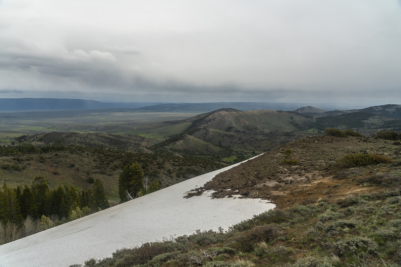
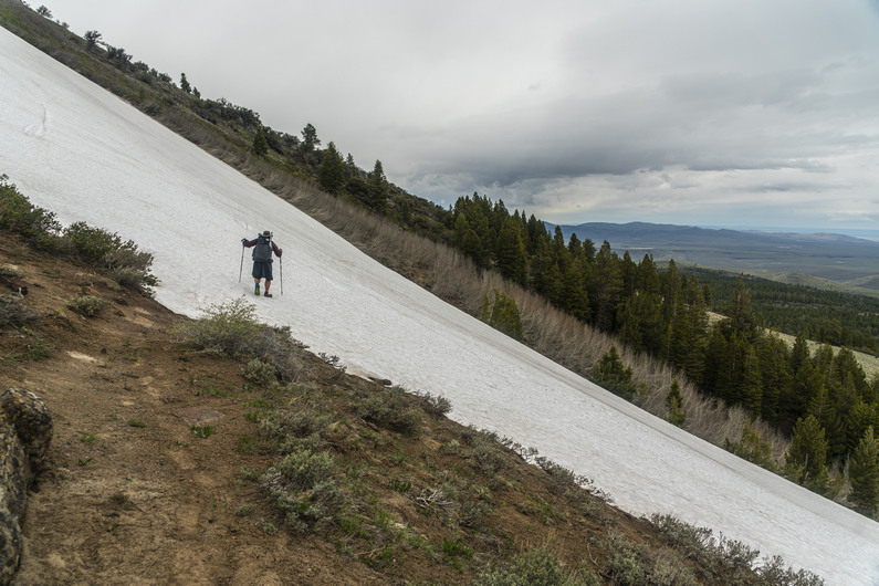
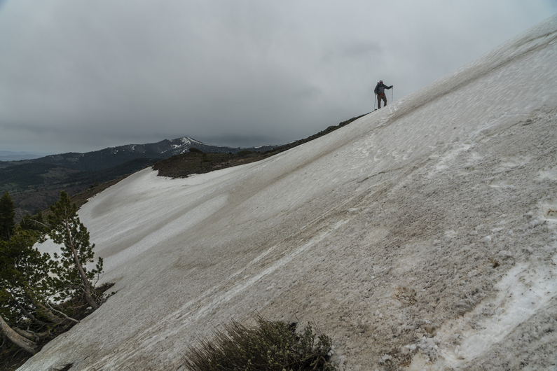
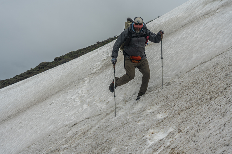
The trail wraps around the north side of McDowell Peak, then drops to a saddle. From here, we traverse the south side of Crook Peak, Then, the east side. Here, there is a large section of snow on a very steep hillside. We weren’t really expecting this. None of us have microspikes, but this is the kind of place you would certainly use them. If one were to fall here, you would slide down at least 100 ft, more in spots. And the slide would be a fast one.

Heavy Teva went first. He kicked steps and took his time, but the last few feet were very icy. He slipped and fell, and slid down about 30 or 40 ft. Thankfully, the runoff was just into dirt, and he was alright.

It was my turn next. The first half is not bad, but the second half is steeper and icier. I took my time and I tried to kick deep and level steps. Made it. Lastly, It was Donny’s turn. He made it across no problem. Whew.

Now the trail drops in elevation, from 7400 ft to 5800 ft. This took us out of the wind and gave us some protection. We were back in the forest, where there are several small creeks flowing. Water has not been an issue in this section, that’s for sure.

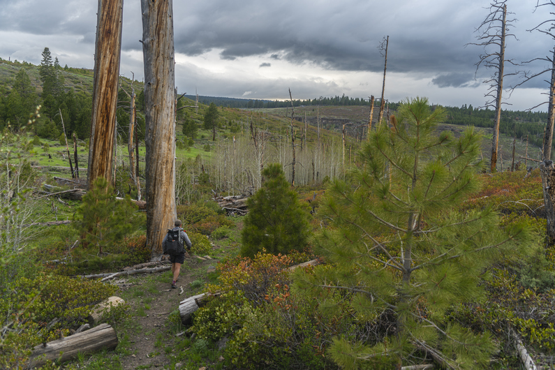
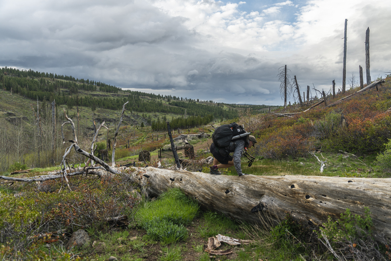
As we drop below 6,000 ft, we enter a very impressive canyon, with Honey Creek flowing through it. This was an old forest fire burn area, but it was still very scenic. Around 5800 ft, we cross Honey Creek. It’s flowing strong, and instead of taking our shoes off to cross it, we look for another way. Not because it’s dangerous, but simply to avoid getting our feet wet. Heavy Teva and I spent some time bushwhacking a route across a downed log, and through some very heavy brush on the other side. This was a real pain, and we should have just done what Donny did; walk through it!

We climb out of the canyon, with excellent views along the way. We reach an old dirt road that contours around the canyon walls, and take a shortcut up and over the ridge. This one actually worked out well; normally they just end up being the “long cut”.

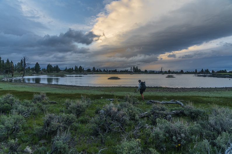
Finally, around 8pm, we reach Vee Lake. It’s not necessarily the most scenic lake on its own, as it looks man-made and is surrounded by cow shit. Still, with the dark rain clouds behind it and the sun trying it’s hardest to come out, the scene was beautiful. A campground is on the map here, too. This is where we were planning on camping tonight.

As we approached the campground, we could see a car parked here. In fact, several vehicles, and even a campfire. It also started sprinkling at this moment. We were disappointed to learn that the campground was completely full. It looked like one large group. This is Memorial Day weekend, so we shouldn’t have been surprised to see people here. What a bummer for us, though. During the middle of a regular week, it would probably be empty.

Donny knocked on the door of an RV and asked them if he could camp there outside in his tent. They said yes. However, Heavy Teva and I didn’t want to camp here. Not only because it’s awkward to just ask a stranger to share their campsite(right??), but they had generators running, and it looked like they’d be a party crowd, up all night. Instead, we both found campsites closer to the shore of Vee Lake, away from the campground itself.

I set up my tent as it sprinkled lightly. After getting all situated, the rain dissipated. However, that’s when the people in the campground cranked up their music. And of course, It was really crappy music. It also sounded like they have one song on repeat. What a bunch of tools. Glad to have some distance between them and my camp tonight, but it still required earplugs to drown out the constant and repetitive bass. Sigh. Happy Memorial Day.

ODT Day 16 Map

Day 17: Abert Rim & Miner’s Draw

May 28th

Woke at 6:45, with the sun shining on my tent. Nice. By the time I packed up, it was cloudy. Donny and Heavy Teva were both gone already. Hiking by 7:45.

Some dirt roads to walk, then I leave them for a xc section. It’s soggy, muddy and lots of downed trees.

Then, I reach white pine marsh. There’s a beaver dam here, and it’s challenging to cross without getting my feet wet. This time, I was successful. While I filtered two liters of water here, a couple of hunters in a side by side drove by. ORV traffic was pretty rare on the ODT, actually. And that’s not a bad thing at all.

Next I begin hiking up to Abert Rim. It’s all off trail now for the next 7 miles or so. It’s open and grassy, at first. In the distance, dark clouds obscure the top of snow capped peaks.

Soon enough, the climb gets harder. Not because of the grade, but because the ground is littered with rocks. Lots and lots of them to step over. Little did I know, this was just the beginning of the rocks.

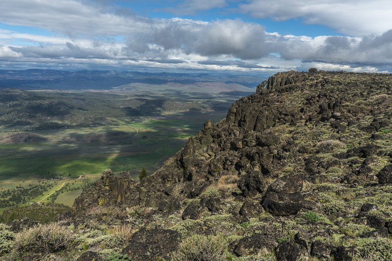
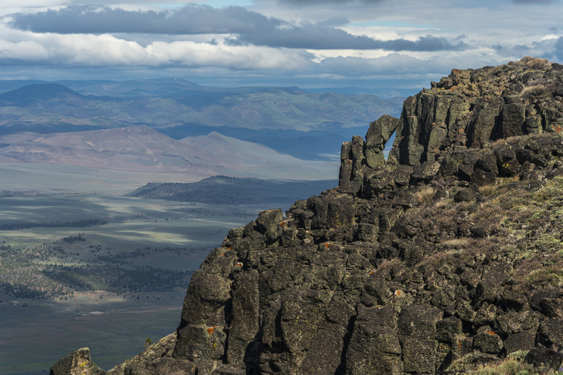
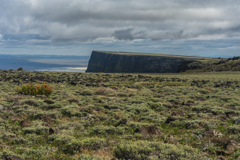
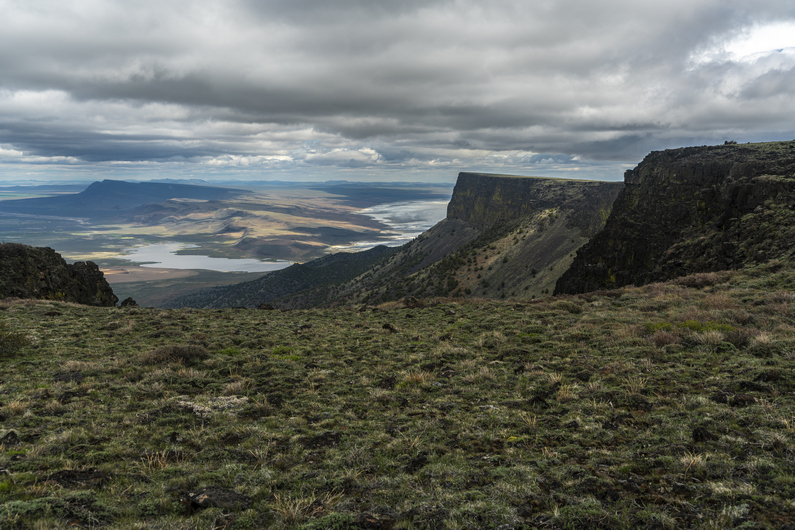
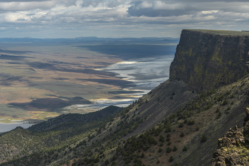
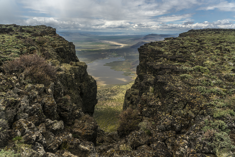
At the top, the view was excellent. To the west, there’s a massive drop off overlooking the community of Valley Falls, which is basically just a few farms and ranches. The Chewuacan River and Crooked Creek flow through here, and the area is quite green.

This cliff face continues north for 20+ miles, although I won’t hike all of it. Lake Abert is north, and I’m curious to see how much water is in it. It’s been drying up over the last several years.

I hike as close to the edge as I can, infatuated with these views. As I progress forward, the view behind me provides a different perspective, seemingly more impressive as I go.

Rain clouds are moving into the valley below, and seem to be moving parallel to the Rim. So, I’m walking the edge, and alongside a moving rain cloud. This is nuts.

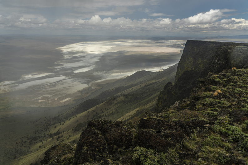
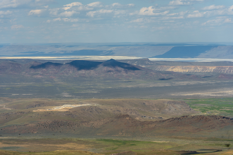
As I near Mule Benchmark, I get my first up close views of Abert Lake. It’s mostly dry now, but was much larger just a few years ago. The sands of the lake bed glow intensely, and I’m mesmerized by the view. This is my favorite spot on the Oregon Desert Trail, so far.

I leave mule benchmark and head down off the rim, to the east. It’s raining on and off now. I eventually reach a line of trees and brush, apparently with no way around them. After a short bushwhack, I’m through.

Now, I hike through a large open meadow, with nice views of the snow capped peaks of the Fremont National Forest to the south. It’s sunny for the moment, but more dark clouds on the horizon.

Another hiker that’s about 10 days ahead of us had posted on the ODT Facebook group warning of a “suicidal bushwhack” in the forest ahead. So, I take a road around this area. Here, a large convoy of 4×4 enthusiasts drive by. It takes several minutes for them to drive past me, there was that many of them. Looks to be the same people from Vee Lake campground, where we camped last night.

Now the rain starts again. The temperature drops 20 or 30° every time the rain falls. I walk a series of dirt roads, until the clouds break and the sun comes back. It’s 4 hours since I’ve stopped for a break or eaten, and now’s my chance. Time for a picnic. That’s essentially what we are as backpackers, professional picnickers. Think about it!

The next few miles are along dirt roads, through some open landscapes with rolling hills. I see Donny in the distance now, so I push ahead and catch up to him. We hike together for a mile or two, and catch up on the day’s events. He’d seen some pronghorn up on Abert Rim. Cool, I still haven’t seen any on this trip myself.

I look back behind us, and the sky is darker than it’s been all day. It looks pretty wicked, and it’s coming this way. I buzz ahead of Donny, hoping to knock out the final 4+ miles to Miner’s Draw, where we planned on camping today.

Moments later, it started raining again. The heaviest of the day. I went light on the rain gear for the ODT, with a Zpacks Vertice jacket and some Enlightened Equipment wind pants (just 1oz) for rain pants. I’m fairly soaked now, and cold. Nothing to do but keep hiking. Just as I approach a water trough, I see heavy Teva ahead. I need to draw water from this trough, even though it’s raining. So, I quickly fill my 2L platypus bladder and take it with me. I can filter it later this evening at camp, hopefully it won’t be raining then.

I had about 5 lb of mud on each shoe as I began the 500 ft climb up to the pass to Miner’s Draw. The rain began to subside, but it still don’t trust the weather today.

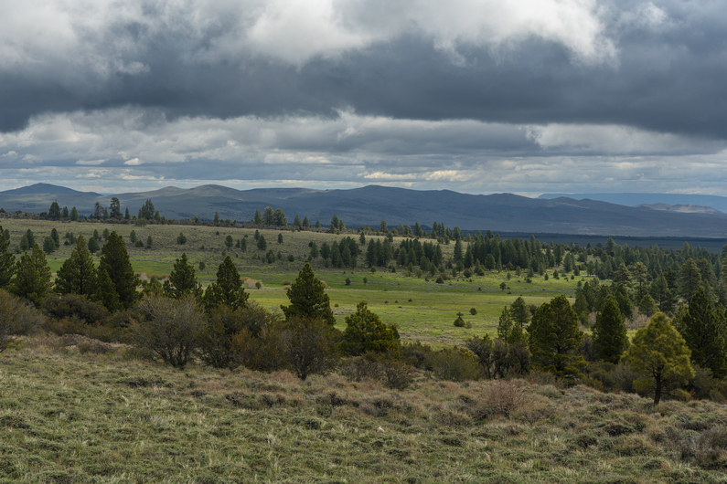
The view from the top of the pass above Miner’s Draw was great. Hart Mountain stands tall in the distance across the Valley, although the weather is obscuring a clear view of it.

Next, I dropped into Miner’s Draw. We are hoping there will be suitable camping here without having to descend too far down the canyon this evening. There is an old mine shaft marked on the map below the pass, and I was thinking this spot had some potential. Unfortunately, there was no mine shaft here anymore. It must have been filled in at some point. Plus, the ground was not level, and it was littered with cow shit. Pretty much the opposite of what I was hoping for.

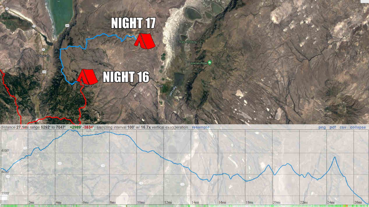
As I was standing near the mine shaft, I saw heavy Teva come down the pass. We hiked down the draw and continued to scope out campsite options. We eventually found a spot just off the road, maybe 2 miles below the pass. Just as I got my tent up, it started raining again. I quickly threw my stuff in the tent and finished setting everything else up from inside. I rarely have to do this. It was a long day, having covered 27 or 28 miles. I was glad to get in my quilt tonight and warm up.

ODT Day 17 Map

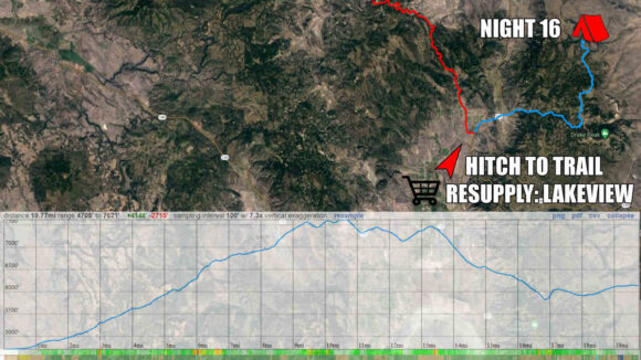
Day 18: Walk-In, Walk-Out Resupply in Plush

May 29th

It rained on and off throughout the night. Eventually this turned to light snow, and I could hear it pelting my tent. Heavy Teva was camped nearby, and I could hear him breaking camp earlier than I cared to. It was cold and windy, and my shoes, socks and pants were all still wet. It was also still precipitating, a light rain snow mix. Yeah, I’ll wait a little bit for it to warm up before I get moving.

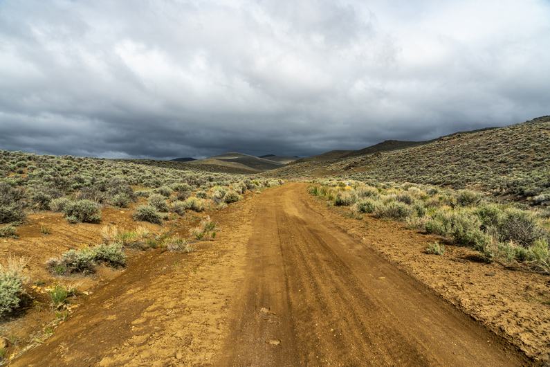
I broke camp at 8:45, with 9.5 miles to walk to get into Plush for resupply. This morning’s hike will be all down hill and all on good roads, so I know I’ll be able to make great time.

I was looking forward to walking miner’s draw, because of the opportunity to rock hound. A variety of interesting minerals here, including opal, Fosterite and Labradorite. However, It wasn’t really what I was expecting. I was hoping to be able to find these rocks as I walked, but that was not the case. And I didn’t really have the time or desire to poke around on the hillsides, given the cold and wet weather Additionally, when town is just hours away, the motivation to get out of the weather and get a hot meal are pretty great. Moving on.

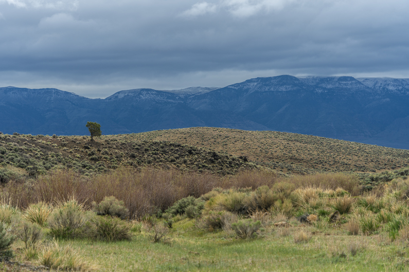
I exit Miner’s Draw and enter Warner Valley. Plush can be seen In the distance now, about 5 miles away. Hart Mountain provides an imposing backdrop. There’s fresh snow on top from yesterday’s weather event. I’ll be headed up there soon, on the next section.

It was around 11:30am when I reached Plush. I walked into the Hart Mountain Store, where I saw Donny and Heavy Teva sitting at a table. First thing I did was grab a cold drink out of the cooler, and order a double bacon cheeseburger for lunch. I had only drank five liters of water during the last section, about 58 miles over 48 hours. I was feeling totally fine, but obviously thirsty.

We got our resupply boxes from the store, who graciously holds them for us ODT hikers, and began getting our food together for the next section. It’ll be 108 miles to Frenchglen from here.

We had planned on getting a cabin for the night, but everything was booked since it was Memorial Day weekend. This was a major blow, as it would have been really nice to get a hot shower and dry out. My feet were feeling kind of rough from being wet so long yesterday. I had some holes in my socks, so my feet were rubbing on the inside of my shoes in a weird way. They were also pretty tender from being wet and wrinkly all day. Oh well, we’ll have a chance to rest up in Frenchglen.

Heavy Teva left first, then Donny. I have more electronics to charge, so it took me longer. I didn’t leave until 4:30pm. But this allowed me to get a second lunch in!

**Day 18 Continues Here: ODT Section 5: Plush to Frenchglen

ODT Day 18 Map

–> Continue reading Oregon Desert Trail Section 5: Plush to Frenchglen (107 miles)

Back to Oregon Desert Trail Thru Hiking Guide & Journal index

Related Images:

Oregon Desert Trail Section 3: Paisley to Lakeview (2022 Thru Hike Journal)

Day 12: Fremont National Recreation Trail

May 23rd

This morning was very relaxed. Melanie, who we met the night before at the Hot Springs, said she would drive us to Paisley this morning. We agreed on 9:30 a.m., and so We were not rushed to get ready.

After packing up, I sat out on the front porch. There are multiple cabins here on the Hot Springs Resort premises, as well as camping RV sites. I felt like it was 4th of July in northern Michigan, hanging out at a cabin on the lake. Only there’s no lake anymore!

Melanie picked us up and we drove back into Paisley. Donny mailed out his package at the post office, then we made a quick stop at the Paisley Mercantile for breakfast burritos before heading out of town along the Chewuacan River.

At the Chewuacan Crossing trailhead, we crossed the bridge over the Chewuacan River, and jumped on the Fremont national recreation trail. We’re now in the Fremont National Forest. First forest of the ODT!

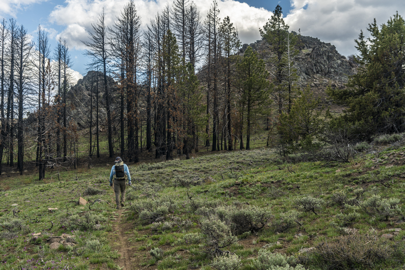
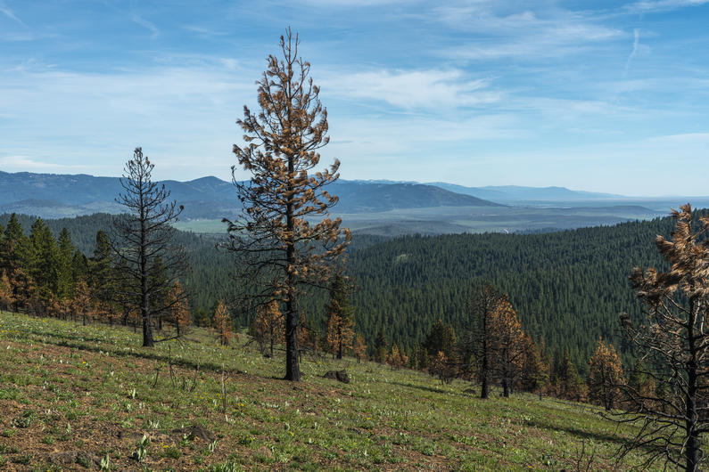
What a difference a day of hiking makes! Everything is green, there are wildflowers instead of Sagebrush, and it’s a beautiful mountain landscape with pine trees. We hike on in high spirits.

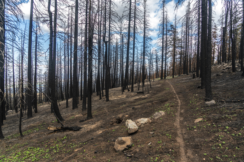
Today we will gain 2700 ft in elevation, and so the majority of the hike is uphill. It’s well graded and a legitimate single track hiking trail. Easy walking and great scenery, despite walking through occasional forest fire burn areas. There was a lot of obsidian along the trail here.

Admittingly, I don’t know what these mountains are named. They are not named on the USGS maps, nor the US Forest Service maps. I did some research online, and can’t find any reference to a name given to the mountains were are hiking right now. Diablo Rim has a name, and that’s not as tall or prominent as these mountains. I’ve seen small hills, miniscule in size and scope in comparison, that were named. This baffles me.

We stay high above the Chewuacan River, and it’s a great view looking down upon it. Of course, I can’t resist calling it the Chewbacca River. And I don’t refrain from doing so.

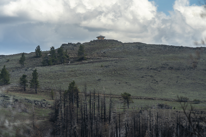
After a few hours of hiking, we gain the ridge line and get our first view of the lookout tower at Morgan Butte near Avery pass. It’s still a couple miles away. We hike on through alternating patches of pine forest and burns areas, before emerging into a clearing along the ridge. Generally pretty good hiking through here.

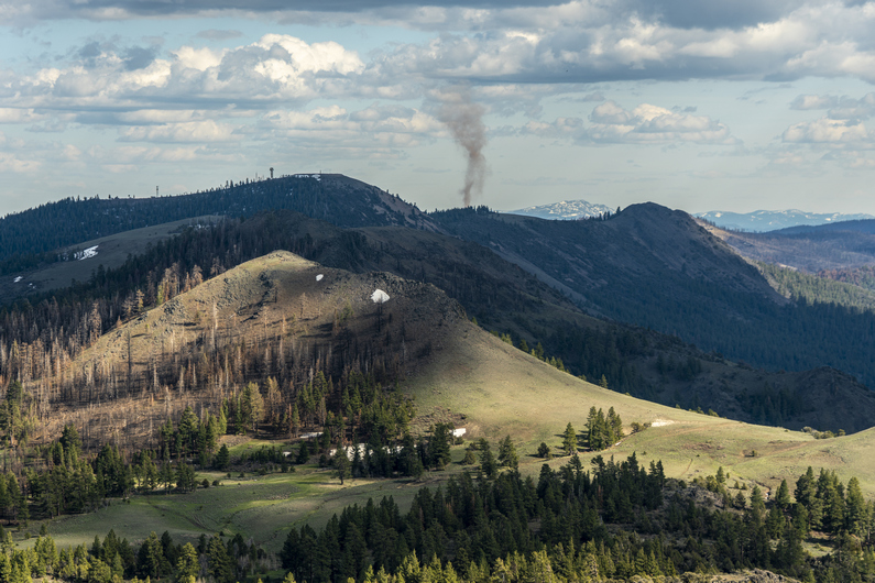
When we reached the Lookout Tower at Morgan Butte (7234ft), it was obvious that It’s either still manned or has been manned very recently. In fact, it looked like they were doing repairs on it. We stopped here for a break. The views were awesome. We could see the dried lake bed at Summer Lake, where we woke up this morning. We could see Diablo Peak and the Diablo Rim running south, along with our route ahead along the Fremont National Recreation Trail. We could see Lake Albert to the south, and a commanding view of the Chewuacan River below. Good spot for a lookout tower.

Descending Morgan Butte, I found a ton of interesting rocks. Mostly of the agate variety, some with a neat banding. Some were green, which was interesting. There is some malachite found in the general region, so that must be it.

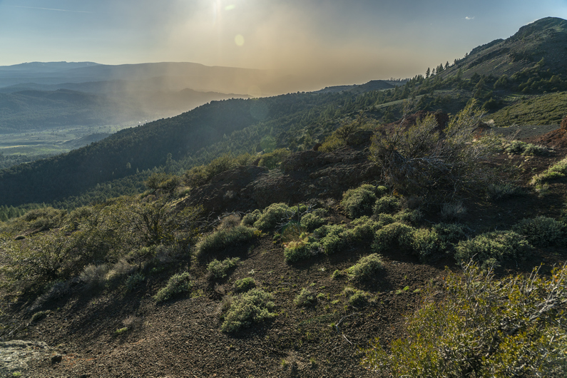
Near Myers Butte, I noticed a large cloud of dust moving into Chewaucan Valley, below. The winds had picked up and blown it in from the north, from Summer Lake. It was blocking the sun, and my view of the Chewuacan River below. Cool to see, but I hope the winds die down tonight when it’s time to camp.

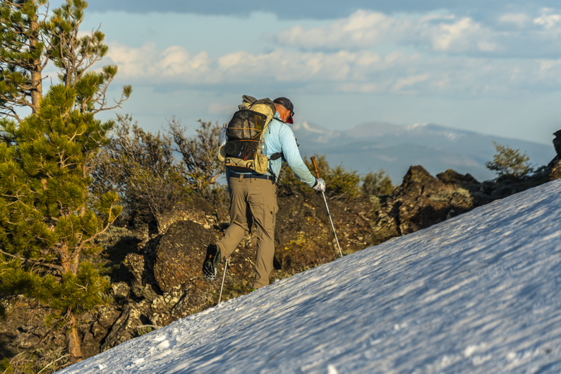
The route stays high on the ridgeline to Round Mountain. Here, we see some of our first patches of snow along the hike. We kick steps to cross one snow, but mostly walk around them.

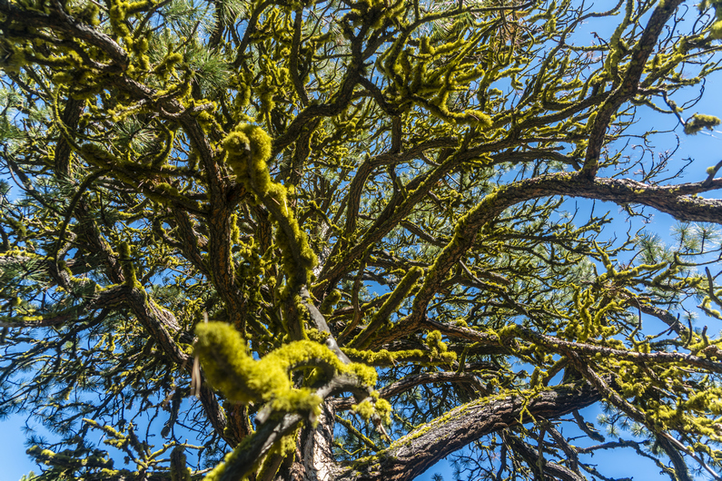
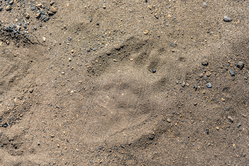
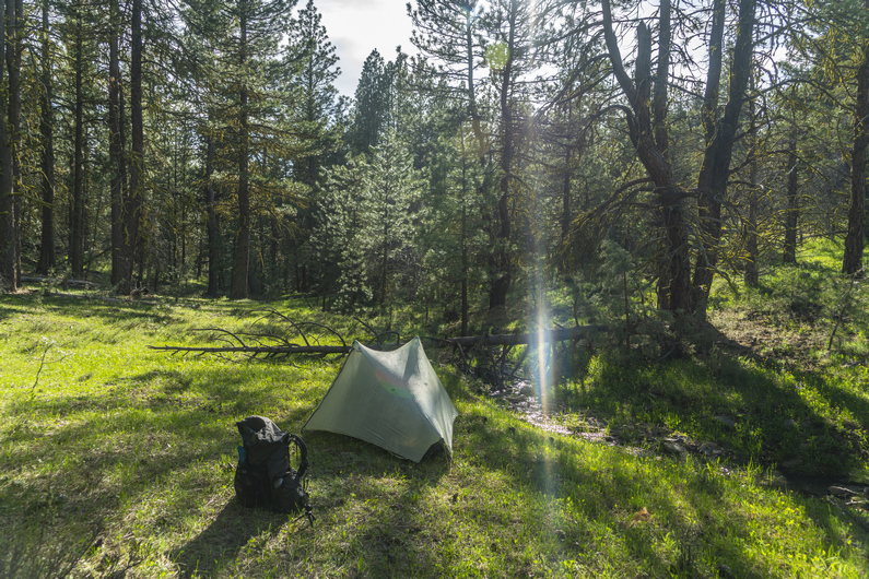
We got water from round mountain spring, and found camp just below round pass. On the way down to our campsite, I see a large pile of bear scat. It’s fresh too, only a few hours old. We find camp under some large Ponderosa Pines, their branches covered with green moss. Good protection from the wind.

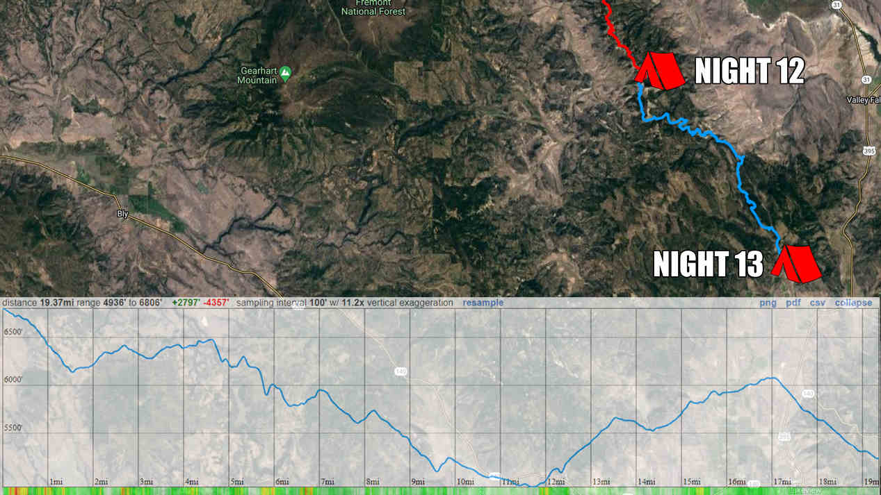
ODT Day 12 Map

Day 13: Hiking The Forest Fire’s Aftermath

May 24th

We started hiking around 7:45 this morning. The trail now crosses over to the west side of the mountains. Not far past round pass, we see some pretty nice campsites. These probably would have been the better choice over what we had found last night, if we had only known.

Next, we reached Moss Spring at Moss Pass. We stopped here for a break and to filter water. It looked like this area used to get a lot of traffic back in the day, since there was a pit toilet here and some pretty good campsites. However, it’s pretty clear It hasn’t been used in many years. Kind of a shame to see these kind of places falling into disrepair.

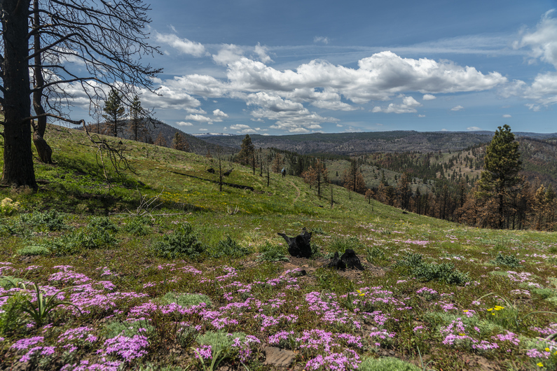
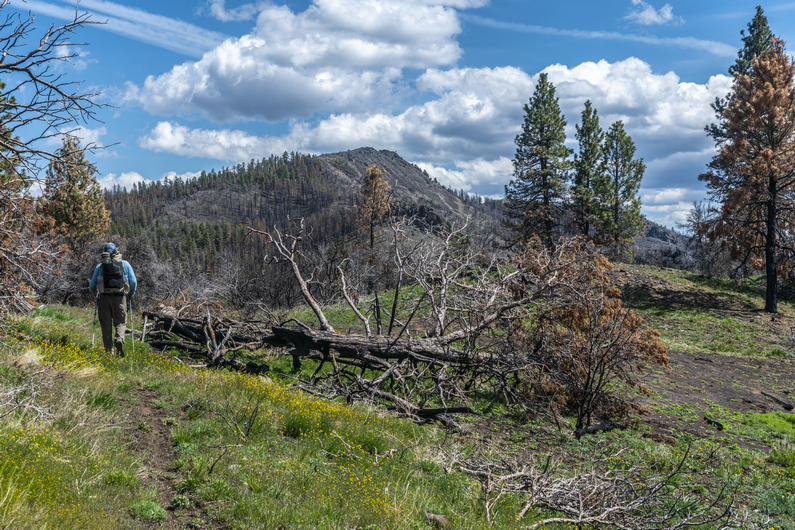
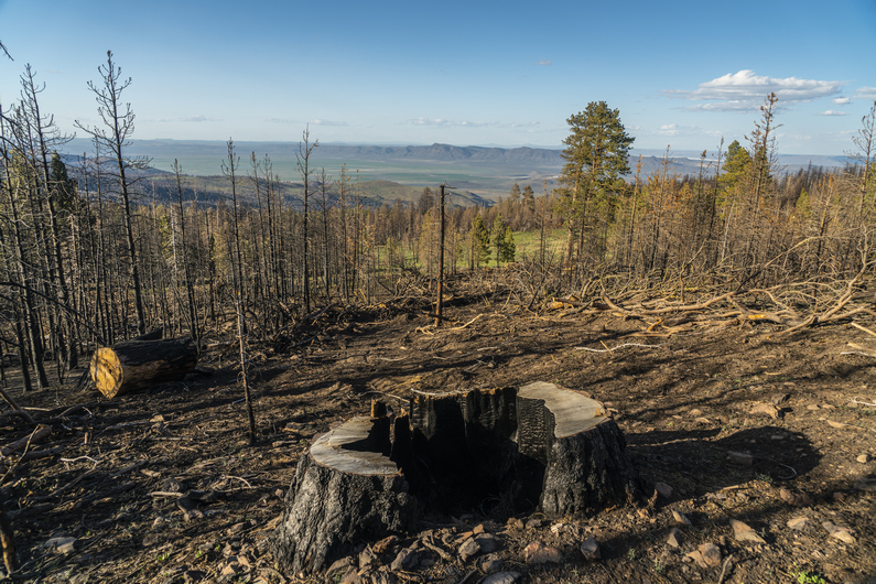
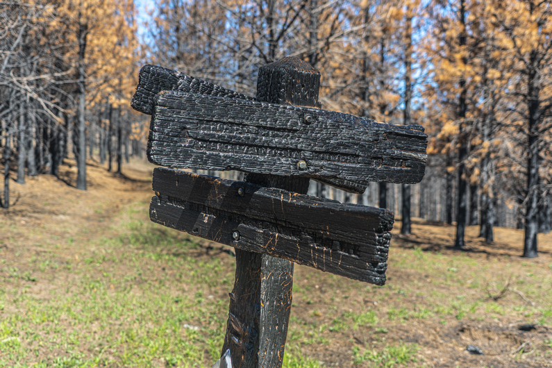
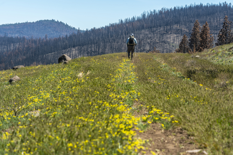
At moss pass, we continued hiking south Into a burn area. The next 15 mi or so would be pretty charred and barren. Not the most interesting hiking, but it is what it is.

We passed several creeks along the way. It’s been nice hiking along the Fremont National Recreation Trail, With water sources Generally only a few miles apart. Now we carry one to two liters, instead of the four to six we had been carrying in the desert. That’s a nice change.

After passing Counts Ranch, we took a break. About 7 mikes now to Fawn Creek, the next water and hopefully, good camping. Donny and I split up, and I went ahead. It’s nice hiking with someone, but it’s also nice to be able to hike at your own pace once in a while.

I was feeling good and strong, as well as motivated, and was on a mission to reach the creek as soon as possible. It would be nice to set up camp earlier in the day, and have someday light left to just relax. I put on some music and turned on the afterburners.

I reached Cox pass, which would have been excellent camping, if it weren’t for the fact it had no water. No worries, fawn creek is only 1.3 miles away. I made quick work of the dirt road walk and reached the creek at 5pm. I found some excellent camping along the creek among the trees. Best campsite of the ODT so far! I’m sure I’ll pay for it tomorrow morning with condensation, but what the hell.

Donny rolled in about an hour and 45 minutes later, having already stopped for a dinner break. By now I had camp set up, finished filtering water and had washed off all of the dirt and filth that accumulated on my body from walking in a dusty forest fire burn area all day. Having this creek just a few feet from camp was a real luxury. The sound of the babbling creek makes falling asleep quick work tonight.

ODT Day 13 Map

Day 14: Resupply in Lakeview

May 25th

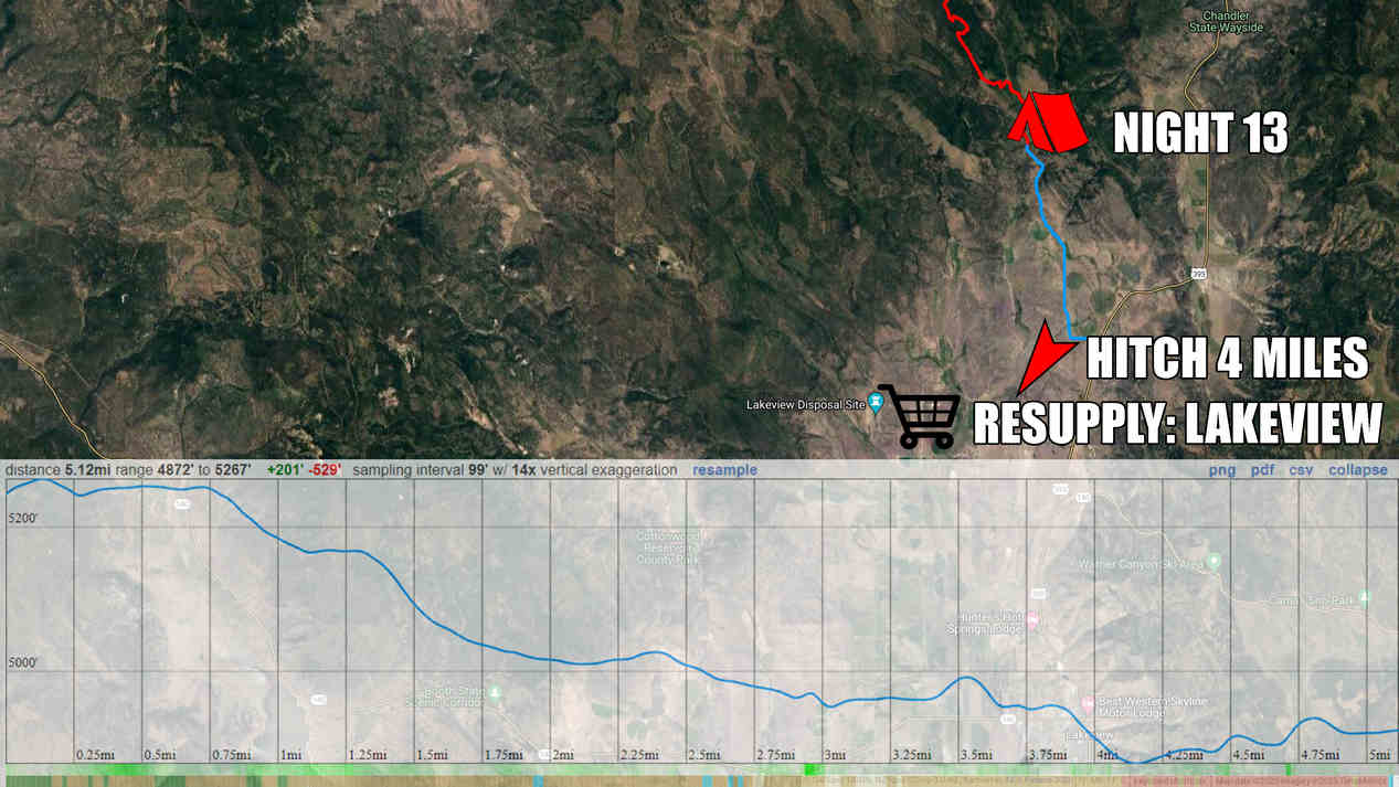
We started hiking around 8am. It’s a 5-mile dirt road walk to the main highway from here. The first mile was through public land and then the final four miles were on a public road through private ranch property. Nothing really notable happened this morning but we made good time to the highway.

We reached Highway 395, and it was time to hitch into Lakeview to resupply. After about 30 minutes, an older woman in a Prius stopped for us and drove us into town.

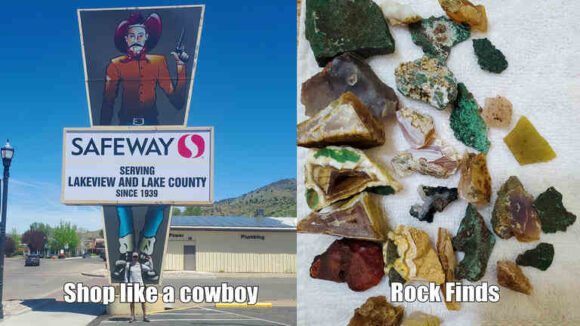
We got dropped off at the Safeway grocery store in Lakeview, then headed over to Jerry’s Diner for breakfast. A nice big omelet hit the spot! Then we headed over to our hotel to check in.

Today was spent washing clothes, charging electronics, and catching up on things.

We learned that another ODT hiker named Heavy Teva made it into town this afternoon as well, and we all met up at the Eagles Nest Bar for dinner and drinks. I saw the double bacon cheeseburger on the menu, and in classic thru hiker mode, I asked them to make it a triple. This thing was a beast! The prices were excellent, with two beers and this giant burger and fries, just under 20 bucks. Not bad!

ODT Day 14 Map

Day 15: Zero Day in Lakeview

May 26th

Since Lakeview is the last big town along the Oregon Desert Trail, I used the opportunity to not only do grocery shopping for the next section, but three other sections. I went to the post office and picked up a few flat rate boxes, went to the store and filled them up with food.

We met up with Heavy Teva again for lunch, and again for dinner. We ate at the Pizza Villa, which was Pretty good. I got a large pizza, knowing I wouldn’t eat it all. This will be perfect to pack out tomorrow when we hit the trail again. Trail pizza!

–> Continue reading Oregon Desert Trail Section 4: Lakeview to Plush (56 miles)

Back to Oregon Desert Trail Thru Hiking Guide & Journal index

Related Images:

×