Creating new thru-hiking routes & guides, hiking videos, outdoor documentaries, backpacking trip reports, trail journals, photos and more!

Latest

Oregon Desert Trail Section 8: Denio to McDermitt (2022 Thru Hike Journal)

Day 30: Red Mountain Wilderness Study Area

June 10th

After another delicious breakfast from the cafe, we had Dalton pick us up late morning to take us back to Cottonwood Road, where we will start the next section.

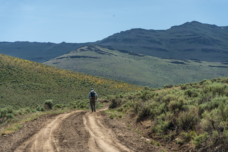
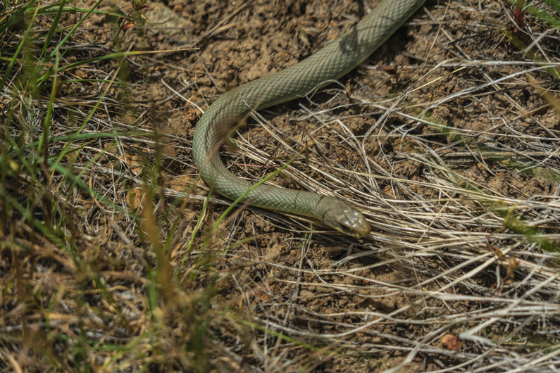
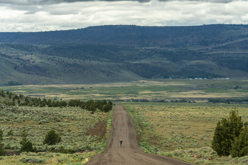
It was about noon when we started hiking. It’s 9 mi down Cottonwood Road before the climb starts. I see another bull snake within the first mile of hiking. I guess it’s snake season now. Still, no rattlers along the ODT.

Just before the climb begins, there’s a mile or two of cross-country hiking before meeting up with a road on the map. The xc exists to skirt around a private ranch property, which is pretty common on the ODT. While the xc hiking here is easy, because it’s so open, it’s a pain in the ass because many bits and pieces of the cheat grass get stuck in my shoes, socks and my one gaiter. They poke my skin like tiny needles with every step. Super annoying. It’s impossible to pull them all out too, some are just stuck in the shoes forever, it seems.

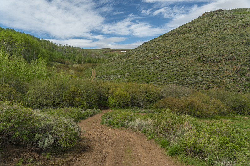
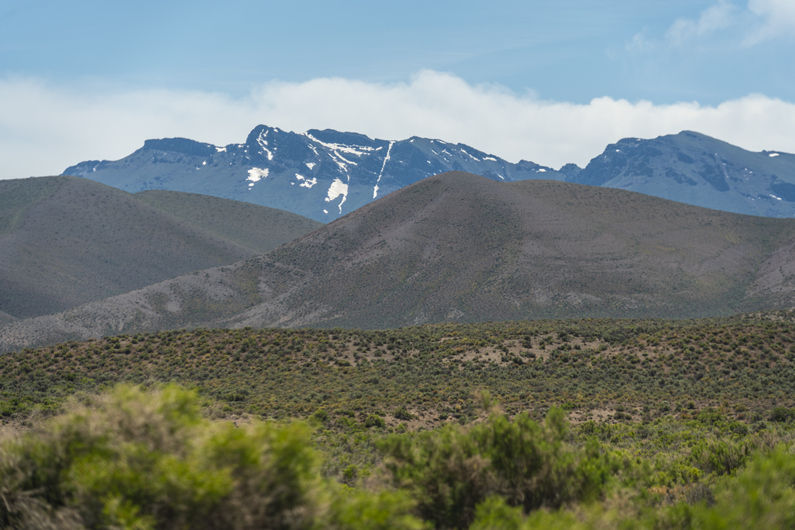
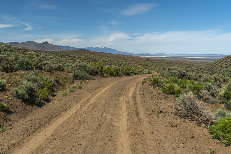
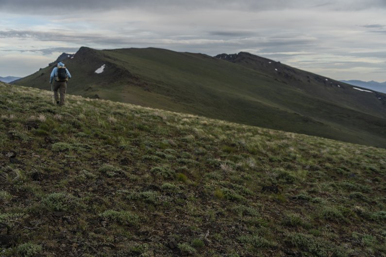
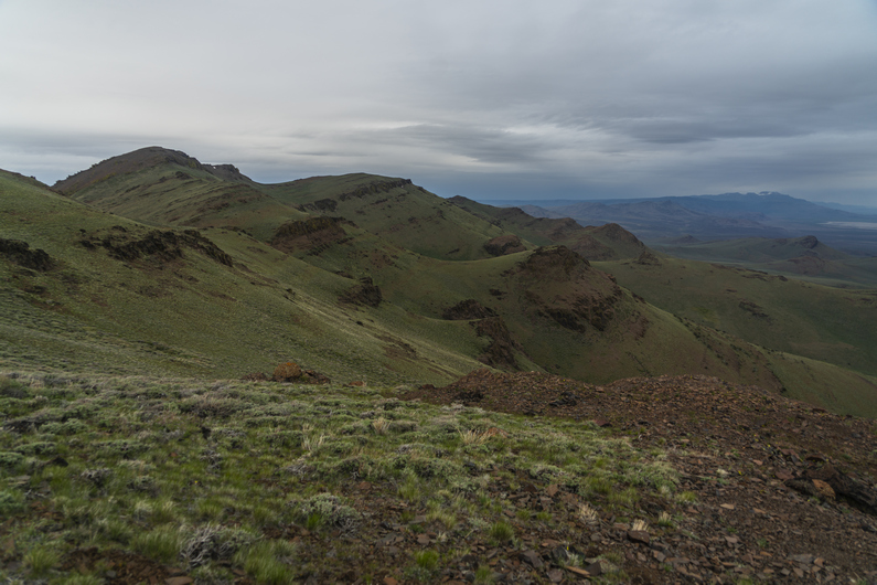
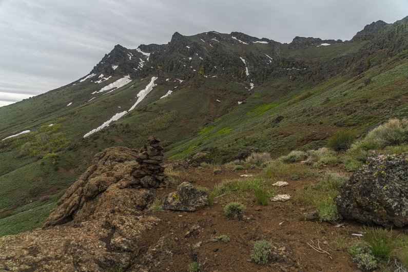
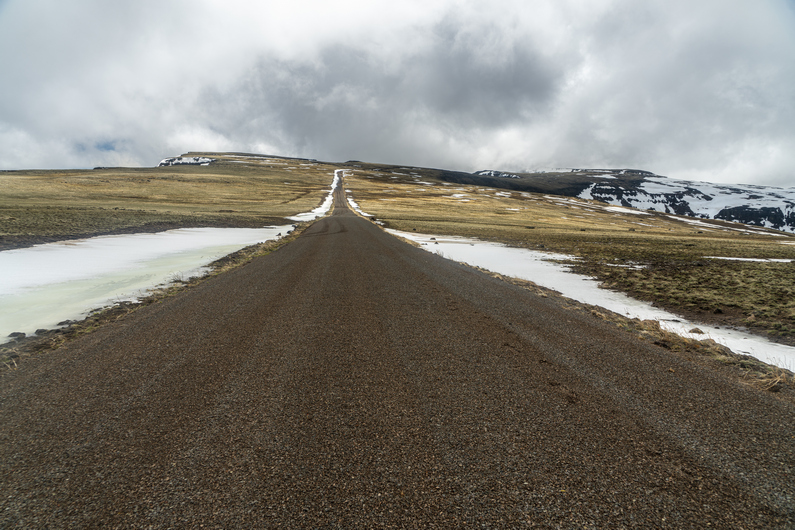
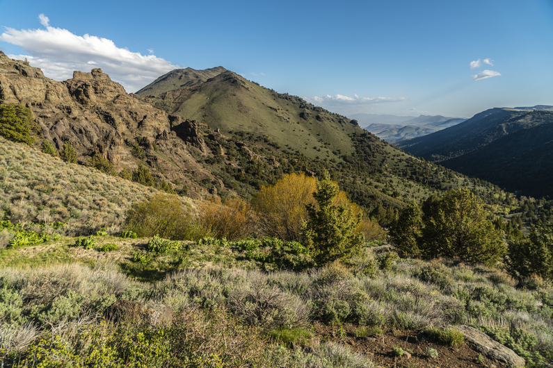
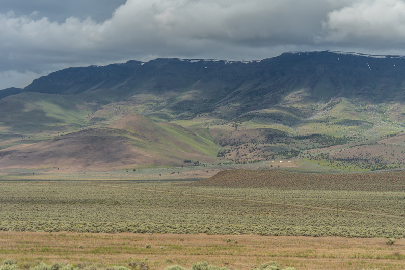
When I reached the spot where the 4×4 road was marked on the map, I could barely see it. This would be the beginning of another cross-country section, essentially. But as I hiked up Hill, the road Improved, along with the views. Now I enter the Red Mountain Wilderness Study Area, part of the Trout Creek Mountains.

I hiked over little windy pass, then Windy Pass itself. This is where the road ends. It’s a couple of miles of cross-country hiking from here, along no name creek.

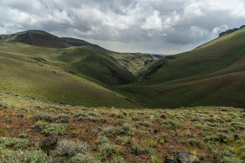
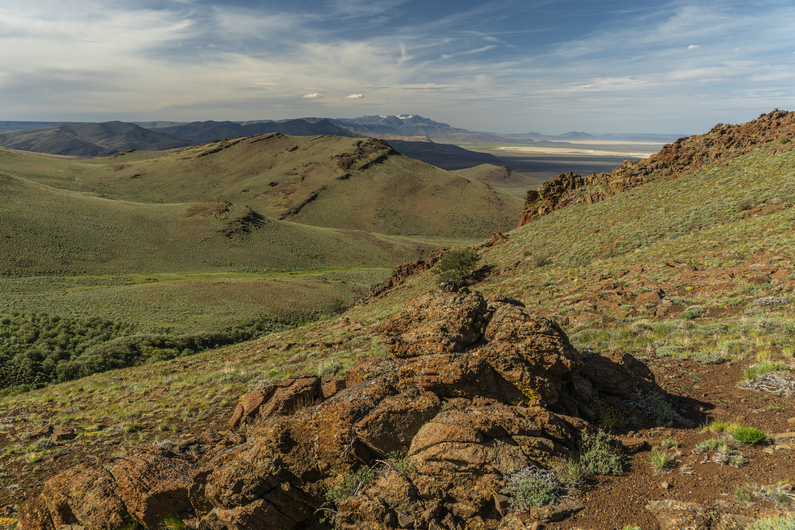
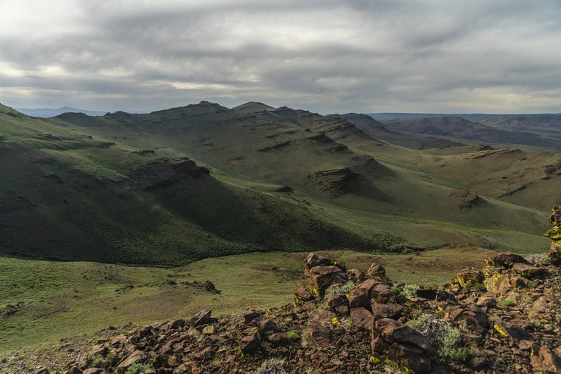
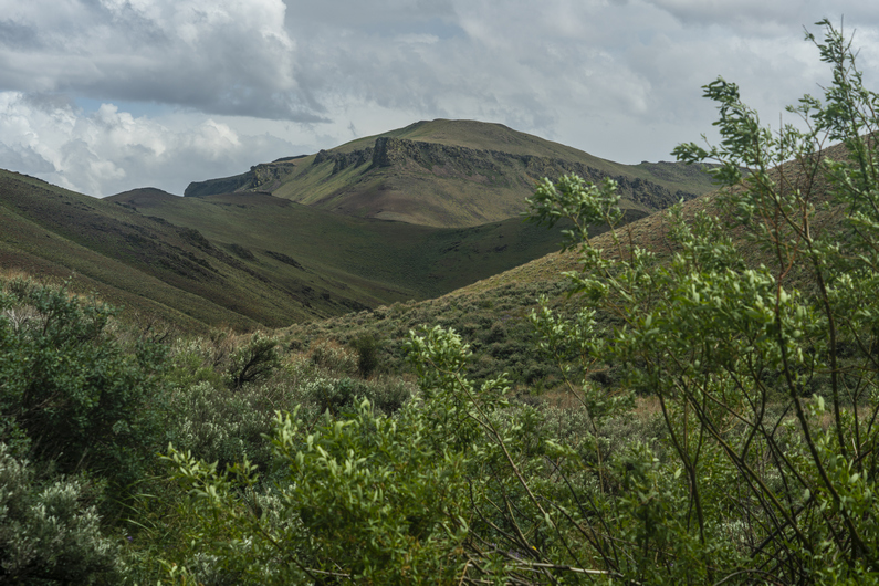
The upper part of no name creek was nothing special. Some rolling hills and a bunch of grass. Easy xc hiking. But as I dropped lower in the canyon, the views improved. The canyon became a little narrower, and was flanked with some rocky outcrops. But still, rather green and lush. Interesting, and pleasant.

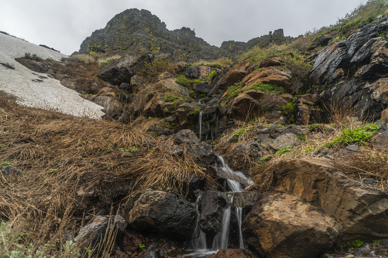
There was some minor to moderate bushwhacking along the creek bed. I occasionally found some water in the creek bed (No Name Creek), but really, not enough to draw from. There was also one small cattle pond. No thanks, I’ll pass.

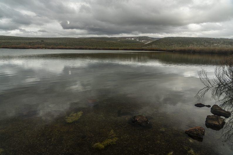
I hiked along no name creek for a few miles before reaching a dirt road. I followed this uphill to no name spring. It’s a good size pond, With fairly clear water. I filtered 2L here, and took two more dirty liters with me to filter later. It was 8:00 now and I need to find a place to camp.

I planned on camping somewhere near the spring, But of course, at least a few hundred yards away from it. However, there was nothing flat nor clear. Ahead of me was a 1200 ft climb. I didn’t want to do this tonight, but I started heading uphill anyway, hoping I would find a flat spot along the road. I didn’t. In the end, I hiked the entire 1200 ft climb, up to 7400 ft, and didn’t see anywhere suitable to camp along the way.

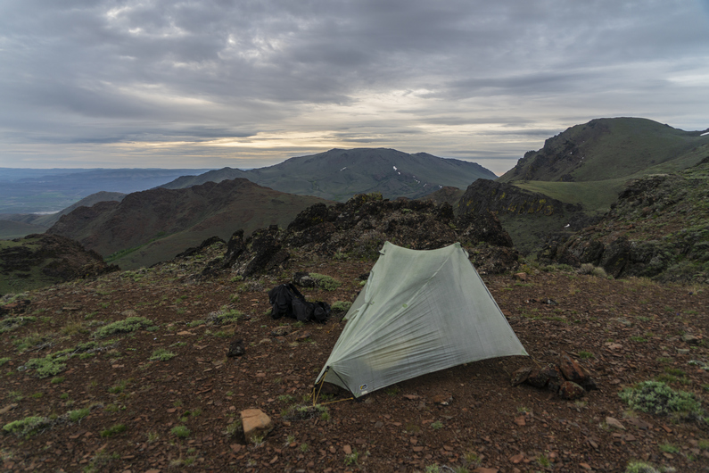
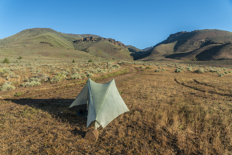
At the top, I passed up a decent spot, determined to make it to Government Corral. I have no idea what’s here, but it’s marked on my map. One can only assume a corral has some land that’s clear-ish and flat-ish. I found a suitable spot along the road near the corral, just as it was getting dark. Well, I set up by head lamp, so it was dark. Just in time. I guess I’ll see what this campsite looks like in the morning.

ODT Day 30 Map

Day 31: Hiking the Trout Creek Mountains

June 11th

I woke up this morning to the sun on my tent. It was very relaxing. Started hiking at 7:45.

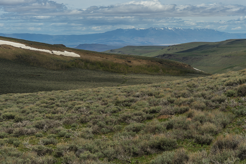
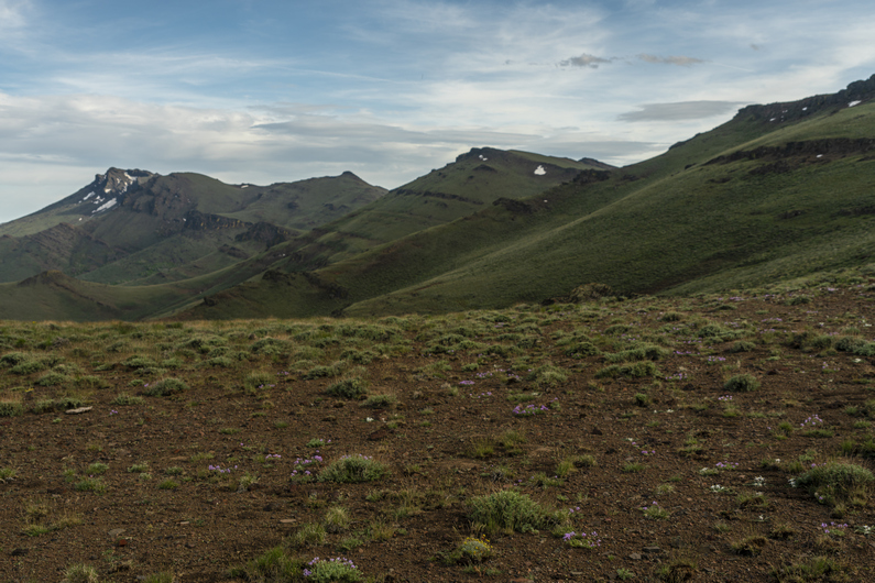
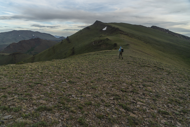
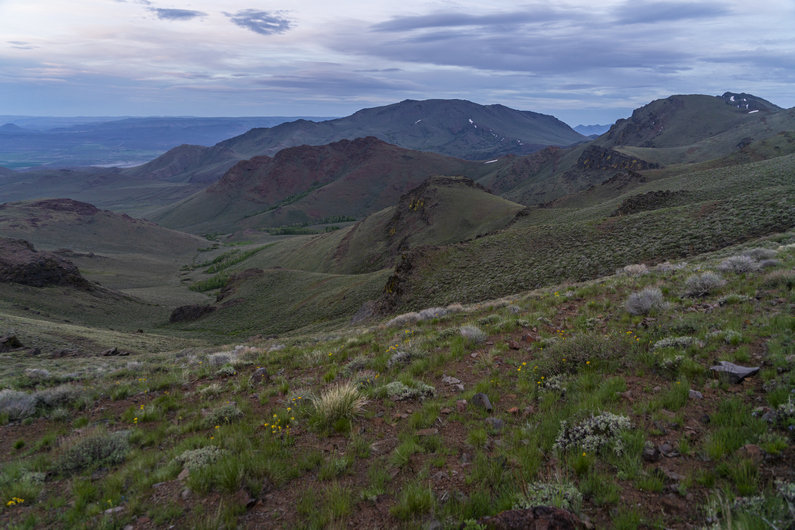
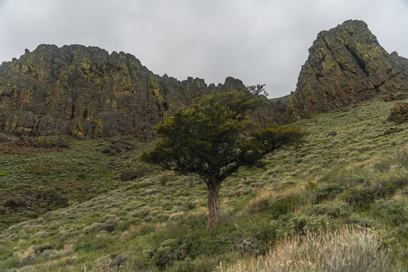
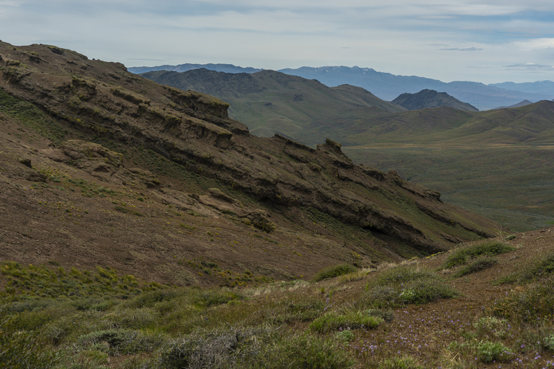
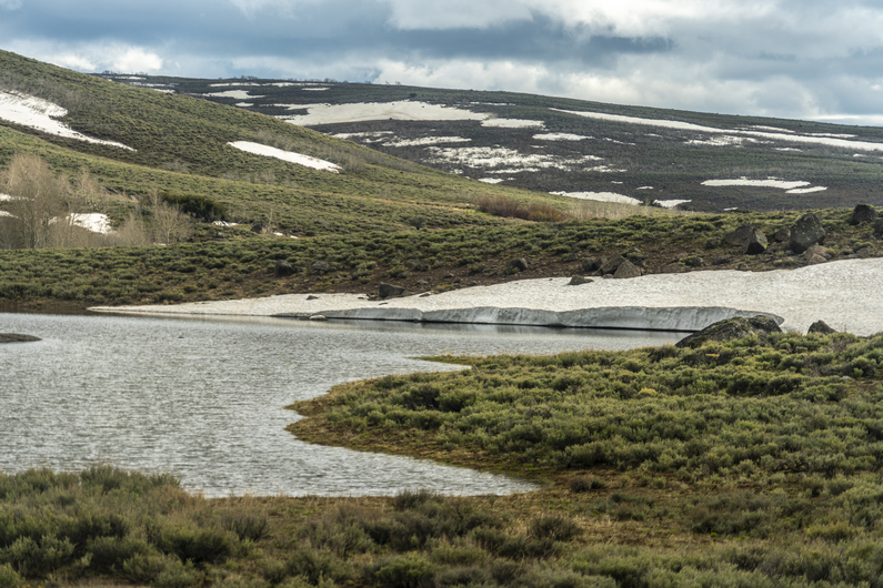
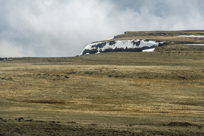
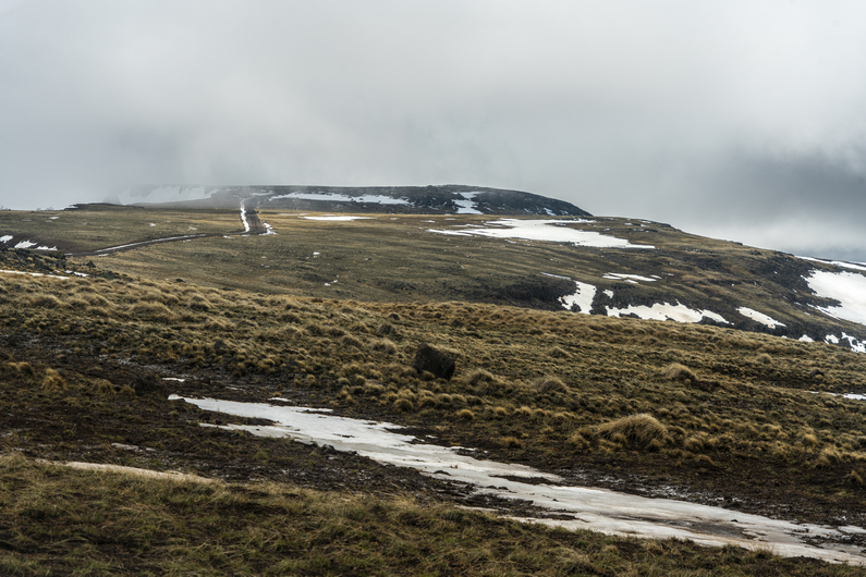
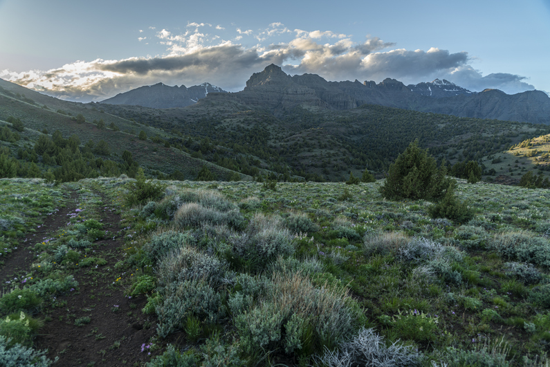
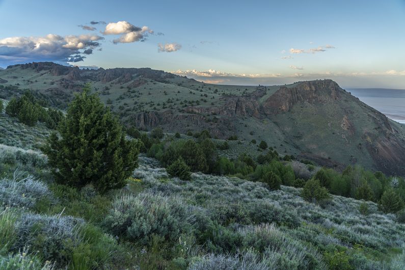
Past my campsite, I hiked through a few groves of aspens. The landscape was rolling hills, a few patches of snow off on top. There were occasional good views of the valleys and distant mountain ranges.

I stopped to filter some water from a trough before reaching Trout Creek, which was flowing pretty good. I took my shoes off to cross, and the water was COLD. There haven’t been many water crossings that required wet feet, so to me, it makes sense to take shoes off for crossings unless I know they will be unavoidably frequent.

Next I climbed up a road that follows alongside Trout Creek. This was another thousand foot climb. At the top, I was over 8,000 ft. Besides the Steens, this is the only other time I will reach 8k on the ODT. So far, the views weren’t that impressive here either.

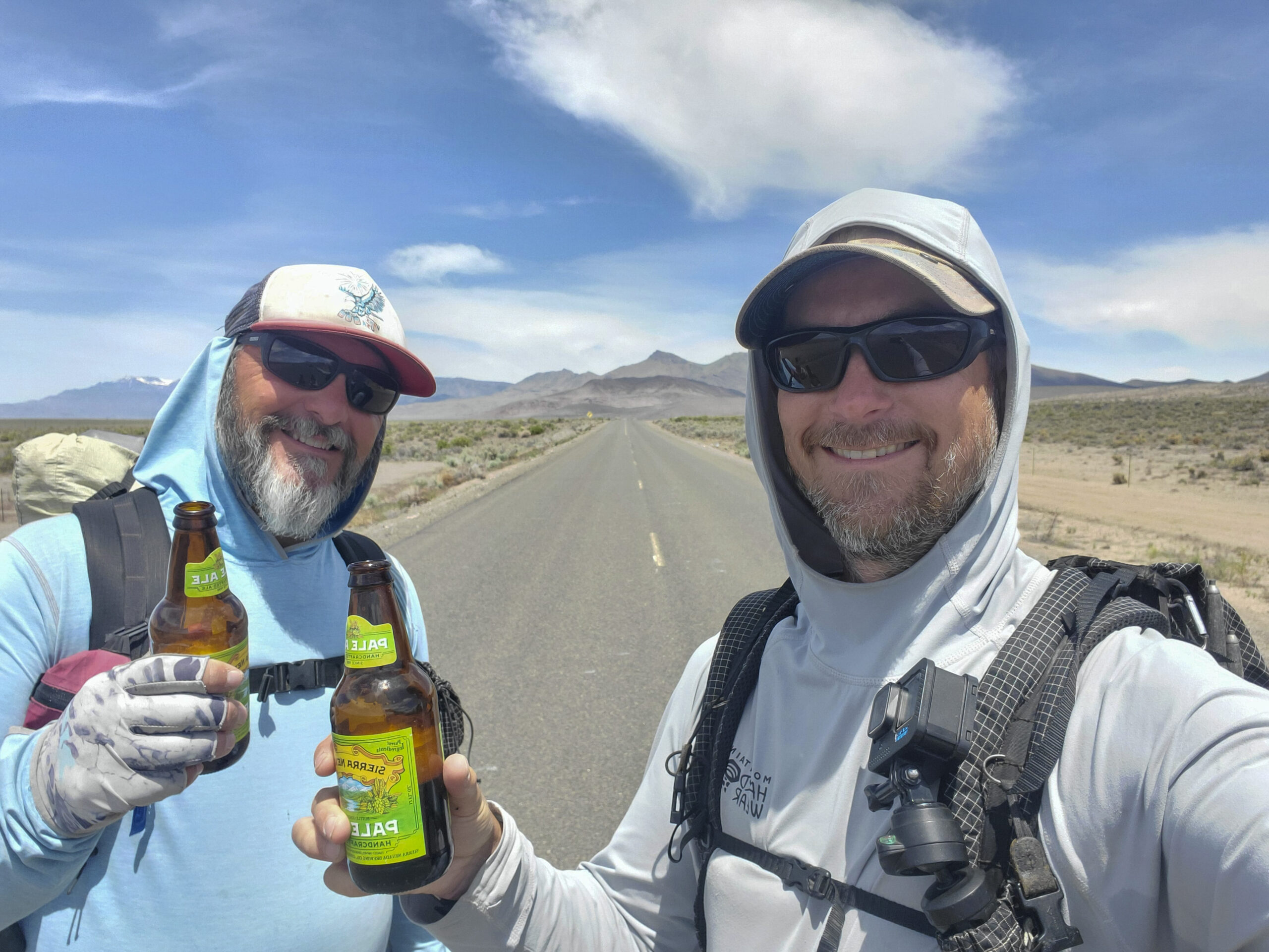
There were several miles of walking above 8k. I was surprised to see a couple of trucks coming up one of the roads. The last one In the convoy stopped and If I needed a beer. Of course! Score.

I walked another mile or so to a high point, where I’m taking a break to eat lunch and drink my Bud Light. It was getting super windy now. My tortillas were flapping around in the wind! Haha.

Next I drop down off the crest of the Trout Creek Mountains. Here, I hit the 500-mile mark on the ODT. Multiple groups of side by sides pass me In both directions. One of them stopped and me if I would like any fruit. That would be great! I scored a couple of apples and a handful of grapes. A nice fresh treat. His name was Ken, former owner of the Quinn River Market in McDermitt. He was very familiar with the ODT. Nice guy.

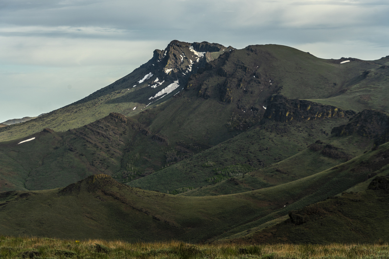
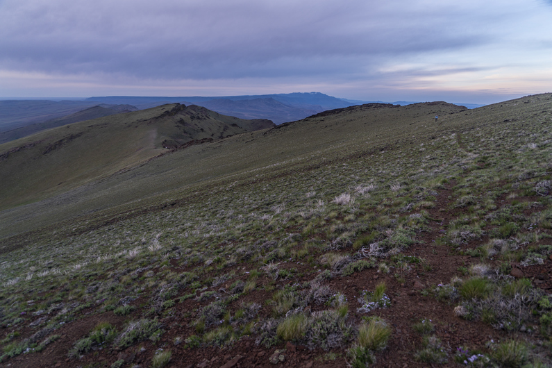
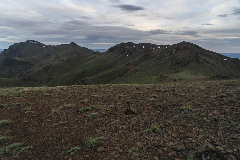
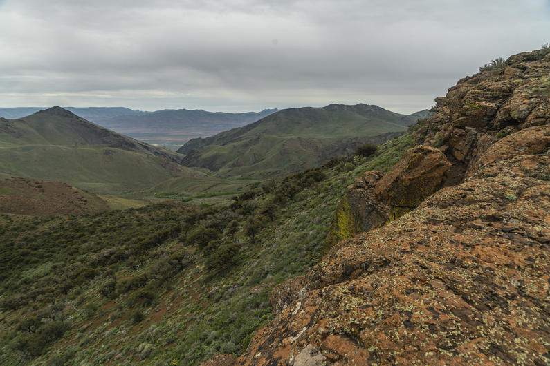
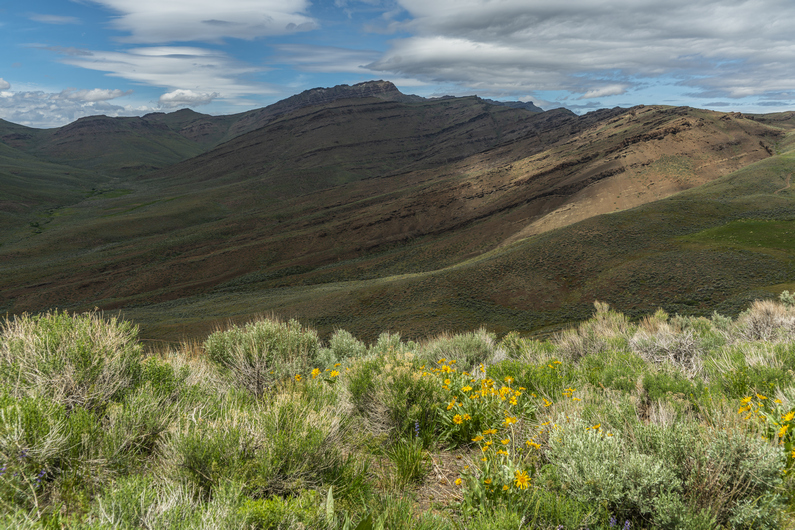
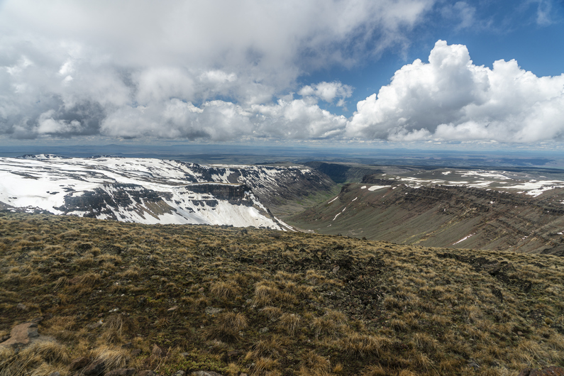
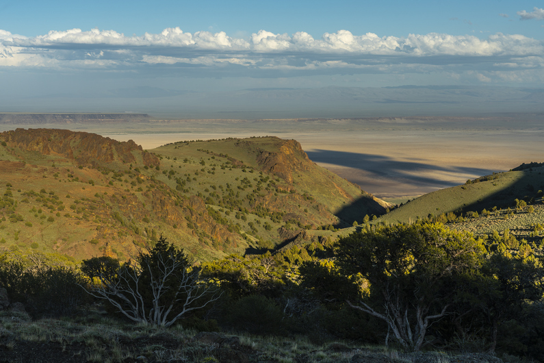
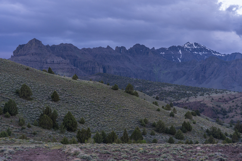
The scenery was getting better now, looking back at the Trout Creek Mountains and the way they transitioned into the lowlands below.

A couple of bike packers came up the hill as I was coming down. They weren’t doing the ODT, but instead, a couple hundred mile loop that starts and ends Frenchglen.

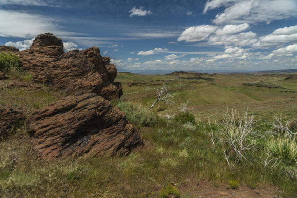
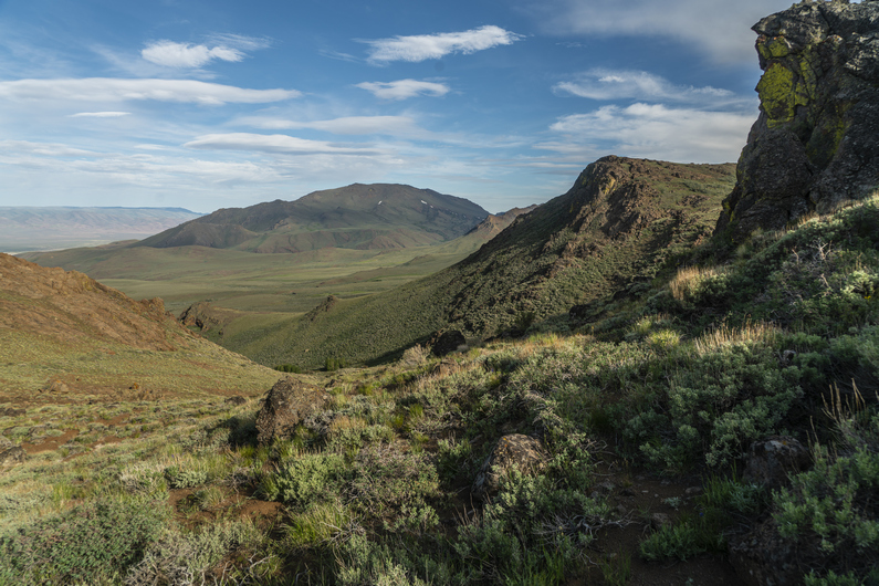
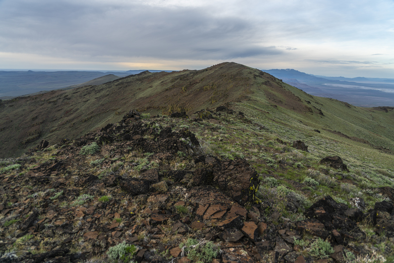
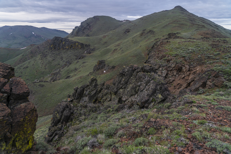
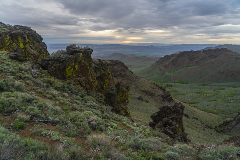
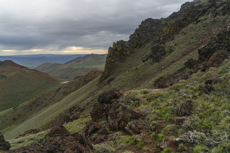
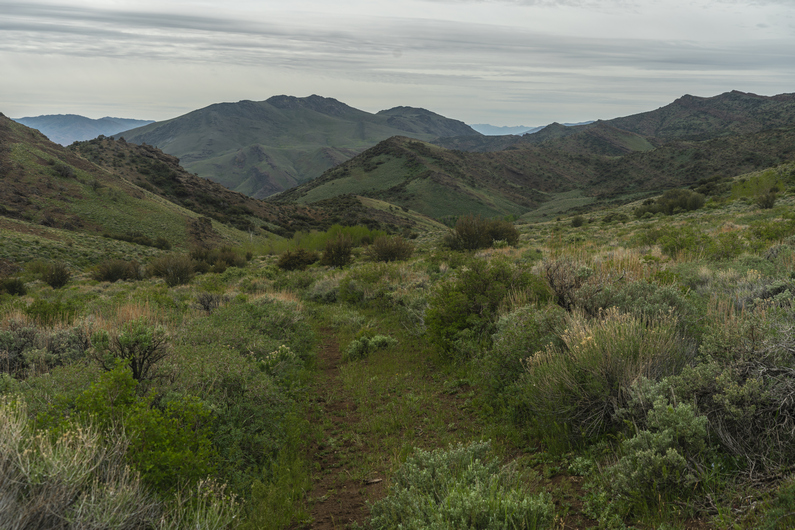
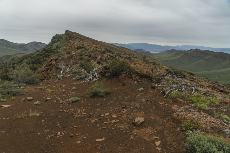
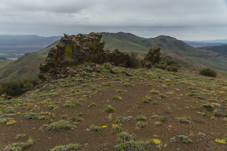
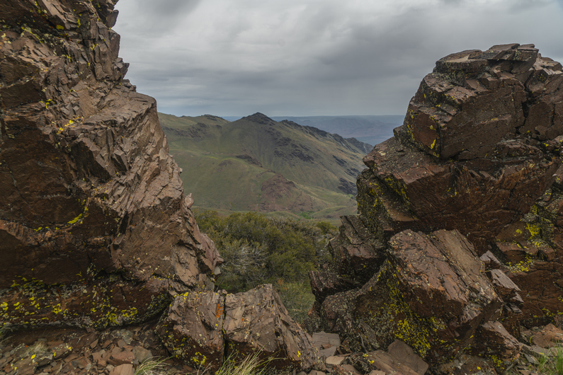
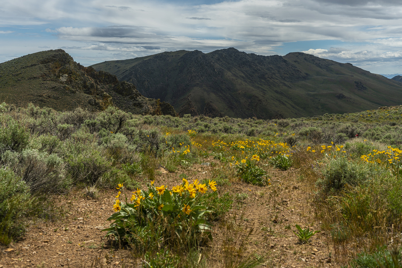
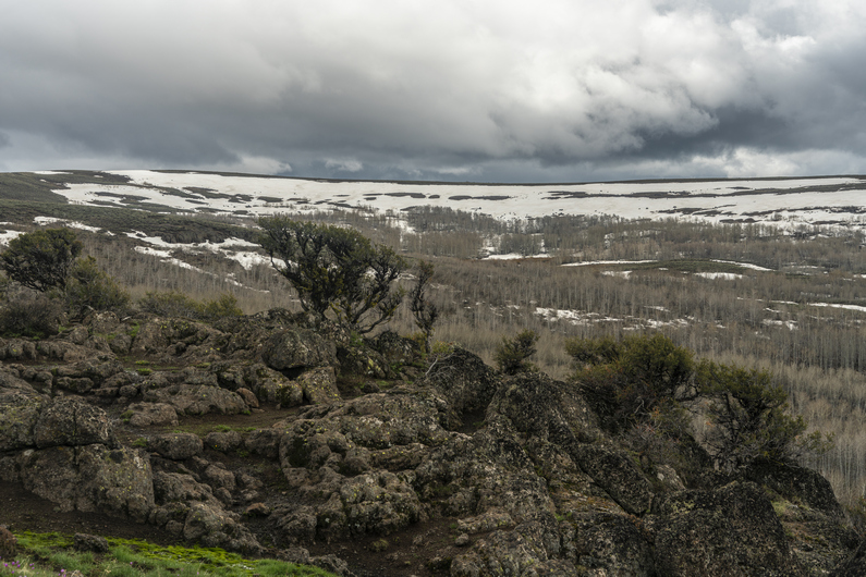
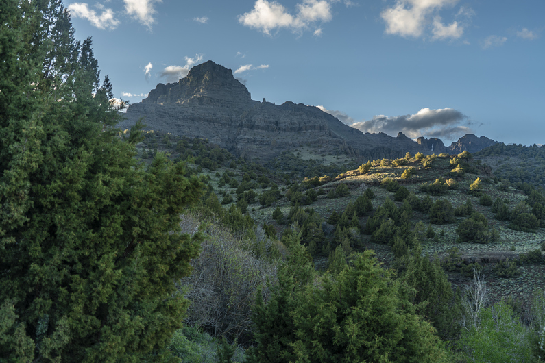
The next several miles were pleasant. Some decent distant views, and some interesting formations along the trail.

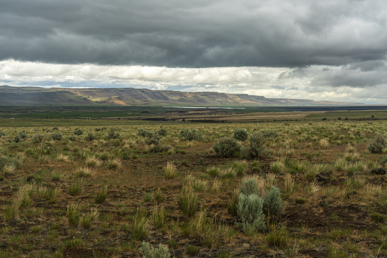
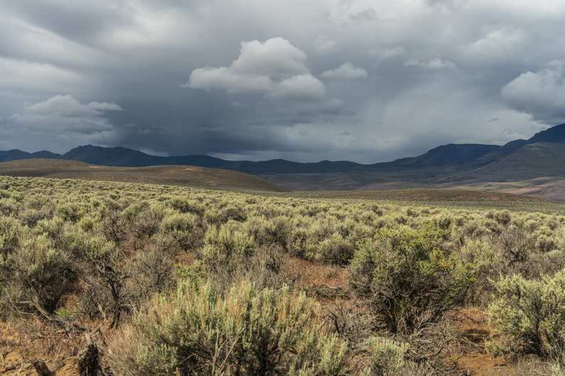
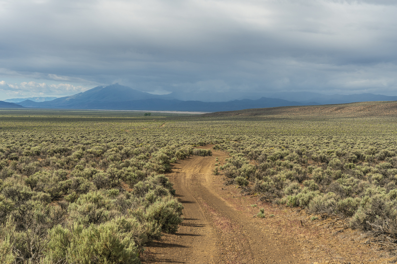
The next bunch of miles basically connect the Trout Creek Mountains with the Oregon Canyon Mountains. Unfortunately, they aren’t as scenic as some of the past few miles. There are several miles of sage and scrub land to cover here, across flat plains and some very small rolling hills. There was water at every marked water source: chicken spring, Fifteen Mile Creek, Gopher Spring, and log spring. There were also a lot of cows in the area.

I filtered water at log spring. From here, the route climbs up to nearly 8000ft again, and will be pretty exposed to the wind the next 6 miles or so. It’s 7:15, And I probably won’t have enough time to hike those six miles plus another 1.5 of cross-country hiking to drop down off the ridge. With a storm moving in tonight, I don’t want to be caught up on the ridge, so I decided to camp near the spring. Like, right next to it. This is bad camping etiquette, I know. But given the above factors, it’s my most attractive option.

Beautiful sunset tonight. I enjoy it, knowing that tomorrow morning I’ll wake up to rain.

ODT Day 31 Map

Day 32: Oregon Canyon Mountains

June 12th

Rain started around 1:30am, and the winds picked up after Sunrise. Well, it was hard to call it sunrise… when I opened my tent, all I could see was thick fog. Visibility was down to a few yards.

The rain this morning was pretty heavy, with high winds. But it came in waves. Every time the rain let up and I thought I could pack up camp, it started raining again. I’m generally not that motivated to pack up camp in the middle of a blowing rainstorm, and this morning was no exception. I drifted off to sleep again and again, wait for a break in the weather.

Sometime after 10am, I heard Donny’s voice. “Oh what a candy ass! You haven’t even left yet?”. Who are you calling candy ass, I’ve been waiting here since last night for you to catch up! While Donny got his water from the trough, I started packing up. Fine, I’ll hike today.

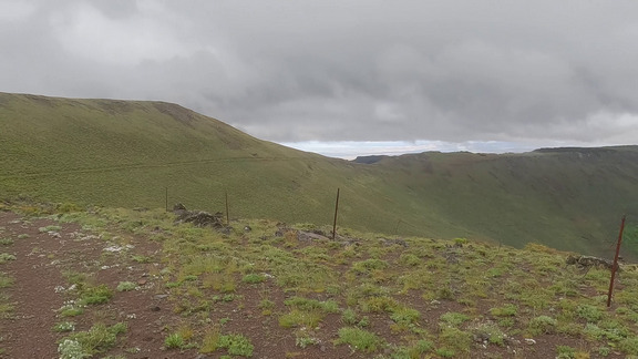
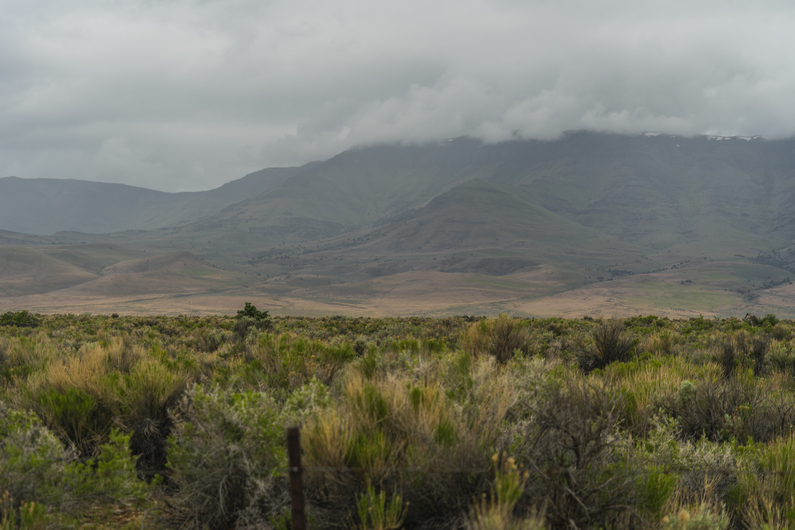
With Donny about 20 minutes ahead of me, I hit the trail and started walking into the clouds. It’s a 500-foot climb from camp to the top of the ridge. I could tell today was going to be miserable. And with the weather, I had to stow away my good camera, preventing me from capturing the likely-awesome landscapes that were obscured by clouds and rain.

As soon as I reached the top, it started raining. It wasn’t long before I was soaked to the bone and water was sloshing out of my shoes. I hadn’t expected so much rain on this hike, and thought I could get away with wind pants instead of rain pants. It’s worked for me on every other desert hike I’ve done. But this isn’t really a desert hike, despite the name.

I pass Donny, but it’s too cold to do anything other than keep walking as fast as possible. All of a sudden, the clouds break a little bit, and I can see how impressive the terrain is. However, my camera is packed away in my backpack in order to keep it dry. Even if it wasn’t, I was too cold and miserable to bother taking photos anyway. What a shame.

After reaching a high of 7860 ft, I take a road that contours south along a ridgeline. The brief lull in the weather quickly ends. Back to freezing rain. I hike fast, and the road fades. It’s pretty much a bushwhack now. I emerge to an open ridgeline, just as the thunder starts cracking. Great…

I reach the end of the ridgeline and look for my way down into Cottonwood Canyon. From here, it’s about 1.5 miles of xc hiking before I meet up with another dirt road… on the map. The weather begins to clear as I make my descent, and start pushing through wet sagebrush.

I reached the bottom of the canyon, and walk a cow path through Sagebrush along the creek. Everything is soaking wet. My shoes fill with water again as I brush up against the vegetation.

Finally, I reach the dirt road on my map that will lead me out of this canyon. It’s sunny for a moment, and allows me the time to stop and eat something. This would be the only time all day that I eat anything while hiking.

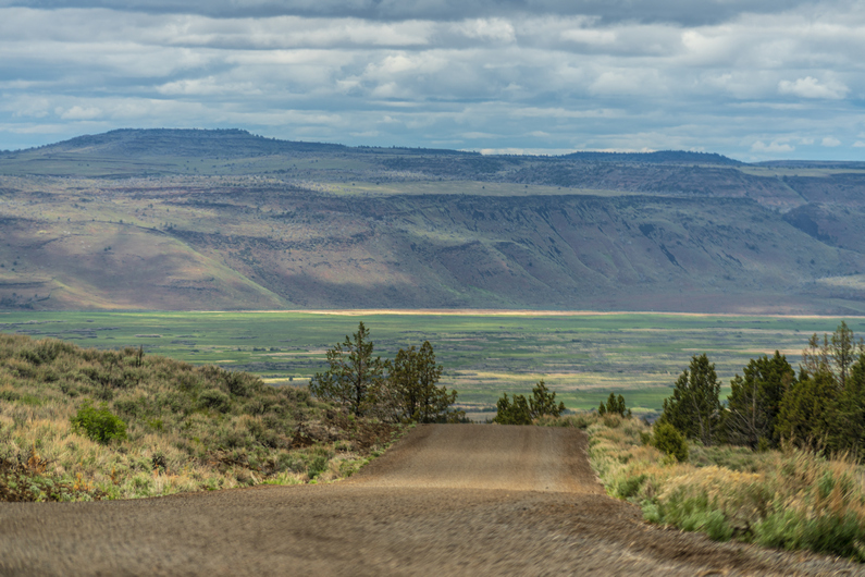
The views were excellent as I hike out of Cottonwood Canyon. I reached the top of the pass and get my first view into the valley to the east… upper Quinn River Valley, I believe. It’s big, vast, and looks like… more rain coming. Ugh.

I descend into the valley along what the map calls a road. Maybe it used to be a road 80 years ago, but today, it’s so faint I can barely follow it. It generally follows the path of Rock Creek.

Down out of the mountains, I hike around Mitchell Ranch. After following the fence line, I reach a dirt road that parallels a set of power lines running through the valley.

From here, it’s 12.25 miles into town. It’s 3:45, and it looks like I’ll be on roads the rest of the way, so I know I can make it tonight. I kick it into high gear and start knocking down some miles. Some wicked shelf clouds lurk about, which seem to chase me as I hike. Ominous.

I reached the highway, the Oregon/Nevada state line, at 6pm. It’s about 4 miles into town from here. I walk about two miles, and hear a truck coming up behind me. I stick my thumb out, and he stops. Interesting guy. He said he was about 18 beers deep, having just met up with his sister, whom he hadn’t seen in 15 years. He was driving about 25 mph in a 45, so I felt safe enough. Ha. I definitely had my seatbelt on though!

He said he had something for me, and offered a swig of some homemade booze… a family recipe. It’s been in his family 300 years, passed down to the eldest son of each generation. It was basically Ever clear mixed with apple mash and some other ingredients. Extremely smooth, and honestly, pretty damn good!

My ride dropped me off at the McDermitt gas grill and motel. It’s supposed to be a Rode way Inn, part of the choice hotels family. I walk into the gas station, and ask if I’m in the right place for the hotel. He says yes, and asked if I have a reservation. I said no, but how much for the night? He says 99 plus tax. I say, I see 85 on my choice hotels app. Will you match it, or should I book through the app? He says book through the app. Then he says, If I do that, it won’t show up in his system until tomorrow morning. I know this is not true, and call him out on it. But there’s nothing I can do, he’s the only hotel in town and that’s the game he wants to play.

Also, if I get the single room for tonight, and a double tomorrow when Donny arrives, he says I must check out at 11:00 and then would not be able to check into the double room until 3:00pm. What a douchebag. Seriously, this guy, real piece of work. Ultimately, I get a double room for the night, because Donny is coming tomorrow and we will split a room then. Not much choice unless I want to check out and then sit around side for 4 hours before I can check in again. There were multiple other things about the owner that made this one of the worst hotel stays I’ve ever had. Owner flat out refused to give me points for my stay when I asked him! Things like that.

To make matters worse, he refused to give me My Choice Hotel reward points. He says, maybe some other time. Really? Be some other time? How about right now! I later found out, he didn’t enter my hotel stay into his system, so Choice Hotels had no record of it when I gave them my “receipt.” Because he did not enter my stay in the system, Choice would not give me points either. This shady owner knew what he was doing. He’s scamming the system, basically doing things “off the book” and avoiding accountability for his douchebag actions. But there’s nothing I can do about it. There’s nowhere else to stay. I’m cold, wet and dirty, Just need a hot shower and a bed.

For dinner, I head over to the casino across the street. It’s basically the only place in town that has a restaurant serving hot food. It’s pretty basic and small portions, so I get both bacon cheeseburger and an order of chicken wings. The bartender had plenty of stories about things going on in town, including a renegade truck driver that was terrorizing town about a month ago. It didn’t sound real until she showed me the video. Some guy in a semi truck was driving around purposely smashing into vehicles. Most were parked, but then he hit one head-on along the main road. It was absolutely nuts! It took the cops an hour and a half to show up, and eventually charged him with attempted murder. So yeah, McDermitt Is an interesting town.

ODT Day 32 Map

Day 33: Zero Day in McDermitt

June 13th

There are a lot of oddities about this hotel room. The cold water won’t work at all on the sink. There’s a hole in the wall, stuffed with a rag to fill it. All the lights are fluorescent, and they flicker. General sleazy motel shit. Not surprised, given the sleazy, low-life scumbag owner that’s running the place. I bet this guy is friends with the owner of the Sands motel, down in Grants, New Mexico. Remember that, from my CDT thru hike? Put this guy up there with him. Motel wall of shame.

For breakfast, I head down to the Quinn River Market. I could have just gone to the convenience store that is attached to the motel, but I walked a little farther to another market. There’s no way in hell I’m giving that guy any more money than I have to. Everything in there is way overpriced, too.

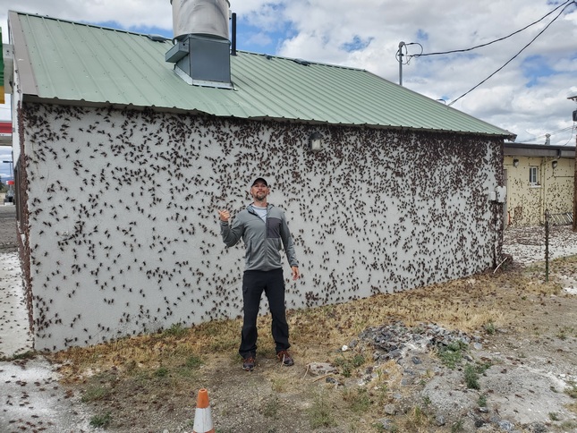
Outside today, there is a massive Mormon cricket swarm descending on the town. I’ve seen another swarm in Central Nevada 2 years ago, but this one was far worse. It was impossible to step anywhere, without stepping on them. They pop when stepped on, and when cars drive by… pop, pop POP! Absolutely disgusting.

The scale of the swarm is hard to describe without photo or video. The entire wall of the subway was covered with crickets, perhaps 5000 or more. Business owners are outside sweeping them away with brooms. The entire ground seems to be moving. Sewers are clogged with piles of dead crickets. This smell almost makes me gag.

I pick up a few sausage biscuits from the market and use the microwave in the hotel. Donny shows up late morning, and we catch up on the events of the last 24 hours.

We spend the day doing the typical zero-day stuff… washing clothes, gear repair, grocery shopping. This was the first hotel we’ve had since Lakeview that had a TV, and we watched the reboot of MacGyver pretty much all day. No complaints.

–> Continue reading Oregon Desert Trail Section 9: McDermitt to Rome (117 miles)

Back to Oregon Desert Trail Thru Hiking Guide & Journal index

Related Images:

Oregon Desert Trail Section 7: Fields to Denio (2022 Thru Hike Journal)

Day 27: Hiking the Pueblo Mountains

June 7th

Donny and I were not in a hurry to leave Fields Station early this morning. We get breakfast, huge omelettes, and chat with the other travelers who stop in.

We hit the trail by noon, with 28 miles to Denio. 15 of these miles will be challenging xc hiking and bushwhacking though, so it won’t be a quick hike. For now, we walk a few miles of pavement.

Along the highway, a car stops and asks us if we need a beer. Well, sure! With no traffic in this area, he puts it in park in the middle of the paved highway, gets out and hands us each a beer. We chat for a few minutes, and learn he’s also doing some section hiking/biking on the ODT.

We enjoy our road beers along the hike to a dirt road, which will lead us up into the Pueblo Mountains. Now, it’s several miles of dirt road hiking along Sesena Creek.

We pass Roux Ranch, and get water from a little creek flowing from a spring. The mountains are becoming more scenic now. We follow a dirt road to a smaller 4×4 that takes us into the lower reaches of the Pueblos.

When the 4×4 road ends, the bushwhack begins. It’s thick here. We need to climb up about 1500ft now to gain the crest of the Pueblo Mountains.

The lower part of the climb was the worst. Once we climb out of the drainage, the vegetation thins, and the climb becomes easier. Not less steep, but at least, less thick.

There are several small saddles and ridges to climb over on the way up. I see a couple of arrowheads in the area. The views are getting better, overlooking the Alvord Desert and Alvord Lake in the distance, as well as the snow capped south Steens mountains.

We reach the crest of the Pueblo Mountains sometime around 7pm. There’s no trail, but there are occasional faint game trails along certain ridges. Good views.

The hiking is not too hard here, along the first section of the ridge. Then we reach a section of thick bushwhacking among boulders on a hillside. We push past the thick stuff and emerge back into open terrain. We join a game trail and we’re back to good hiking along the ridgeline again.

It’s getting late now and we’re looking for a campsite. We hike the east side of peak 7878 towards Cold Spring, and find a good-looking spot up high on a ridge. Excellent views, and out of the wind. I get 3 of my tent stakes in, but a large rock under the soil prevents me from getting my final stake in. In fact, while trying to pound the stake in, the head snaps off. Oh crap, I’m screwed! I don’t have an extra. But thankfully, Donny does. Whew. But I still can’t pound it in due to the same rock. So, I use rocks to weigh down the stake, which is only 1 inch into the soil. This works, but I can’t get the pitch of the tent too tight.

Great view from camp. Probably the best campsite view of my ODT thru hike so far. I go to bed feeling good tonight.

ODT Day 27 Map

Day 28: Pueblo Mountains Bushwhack, Resupply in Denio

June 8th

What began as a great campsite, turned out to be a long, awful night. The winds picked up, and my tent was flapping in the wind all night. Since I couldn’t pound in one of my tent stakes, and had to set rocks on it, I couldn’t put too much tension on the guy lines. The pitch was just too loose. I heard some sprinkles through the night. Even though I put my ear plugs in to mute the sound of the tent flapping in the wind, I hardly got 2 hours of sleep.

I woke to Donny’s voice at 5:30am, telling me he was going to hit the trail early. His tent was flapping in the wind too, making it impossible to sleep. I packed up then too, and started hiking by 6am.

The scenery was beautiful in this area of the Pueblo Mountains. Probably the most striking landscapes of the entire section. But, the bushwhacking would also start here, above Willow Creek Pockets and around peak 8060.

Next, the route traverses a steep slope covered with thick sagebrush. It’s a real pain, this bushwhack. I stop at a small saddle to eat breakfast, since I skipped it this morning. I was so tired of hearing the tent flapping, I just wanted to get moving.

After my break, I cross a small creek. Here, I see the only patch of snow along this section.

The bushwhacking continues throughout much of the day. Especially on 2hrs of sleep, this zaps the motivation out of me, and really reduces my enthusiasm for this section. It’s really thick, and I can’t help but wonder why the route doesn’t just stay on top of the ridgeline. Sure it’d be more climbing, but it looks pretty walkable from the map and would surely be less bushwhacking. At least up there, it’d get big views for my effort. If I were to hike the ODT again, I would seriously consider giving the crest above me a go in this section.

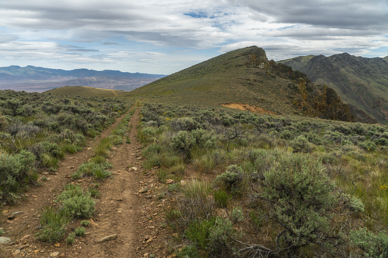
The best views of this section come before Ten Cent Meadows. After this, the route drops down into Van Horn Creek. There’s an old 4×4 track here for a short while, but this fades when it’s time to climb out of this valley and over a ridge. However, I do find some cool rocks here, so this keeps me busy. Desert Rose can be found in abundance here, which is a type of Gypsum (or Baryte) where the mineral forms like the petals of a rose.

The climb out of van horn creek is tough. Mostly because of the soft sand. On the other side of the ridge, more of the same. Now, the route climbs above a rock face that runs across the upper basin of the valley. The route contours along the top of this rock face to a saddle.

On top of the saddle, separating van horn basin from Denio basin, I see an opportunity to follow the ridgeline instead of dropping down into Denio Basin, per the official ODT route. Staying up on this ridge appears to be shorter, would have a better view, and would avoid a 500ft climb out of the basin that’s coming in a few miles. What’s the catch? Don’t know, but going to find out if there is one.

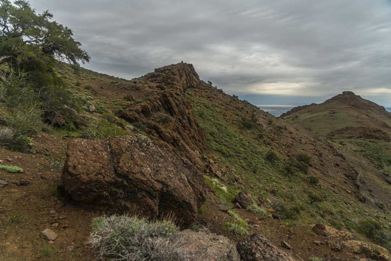
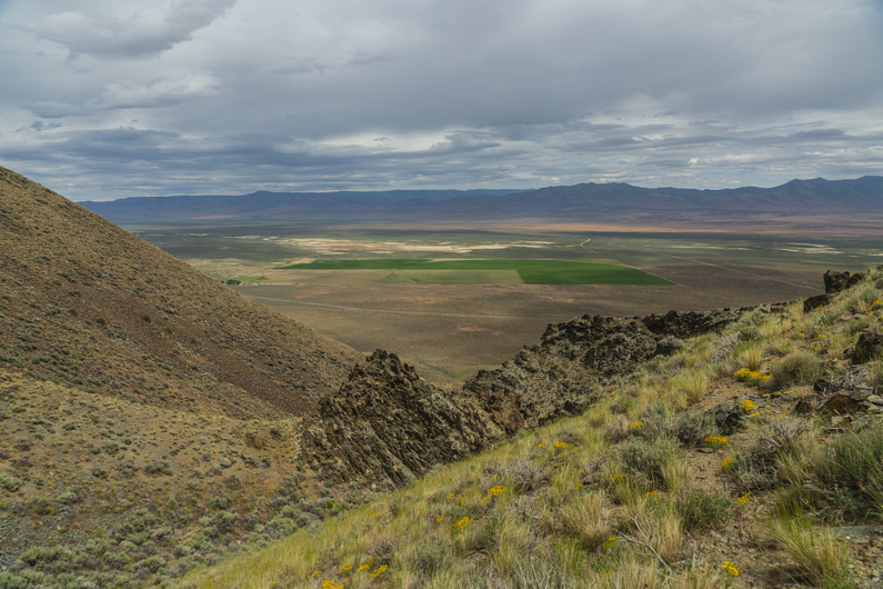
The ridge is pretty scenic, and had some really cool upheaval of rock along the crest. There is no bushwhacking here, just some small ups and downs.

Over a hill on the ridge, I see Donny. He didn’t take this ridge from the saddle, instead, he climbed up here from van horn basin. He had been way off track, and just hiking xc over ridges and drainages to get to this point.

We continue walking the ridge and reach a faint 4×4 road. We pass a 4×4 with a few guns strapped to the front. It doesn’t look like there’s anyone around, though. A mile later, we hear the 4×4 start, and approach our way. They guy driving it was surprised to see hikers here. He was out scouting for deer and chukar. We chatted for a few minutes, and he moved on.

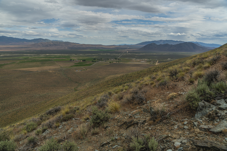
We dropped down off the ridge, then climbed up another 300 ft again. The views are pretty good now along this ridgeline. We are only about 3 miles from Denio at this point, even though town doesn’t seem close. It still feels like we are “out there” a ways.

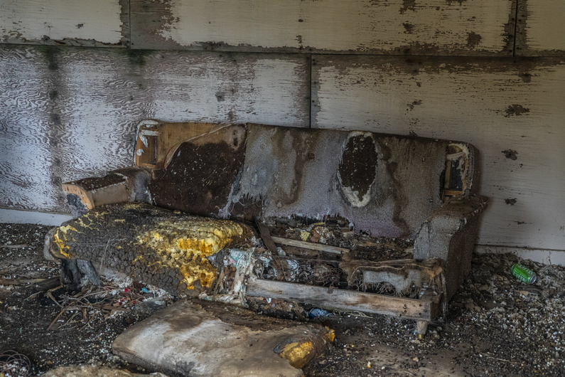
We begin the descent down an unnamed canyon along an old 4×4 road. There are some old mining cabins at the top of the canyon. There’s some furniture inside that’s been eaten by rodents and animals, and has deteriorated into a scene from a horror movie. I’ve never seen an abandoned cabin like this one.

Past the cabins, the road fades out. Not only that, the canyon gets extremely steep. I guess it’s a bushwhack from here on out. The sagebrush grows pretty thick here.

We skirt the hillside for a while before ultimately dropping down to the Creek Bed at the of the bottom of the canyon. It’s walkable, but also extremely thick. I see three snakes in one hour, but none of them are rattlers. With only one gaiter, I’m getting a ton of grass and debris in my shoe now.

Towards the bottom of the canyon, we see a game trail that stays high and skirts around the hillside is it exits the canyon. It seems like a pretty good path at first, but it faded out as we rounded the corner. Should have stayed at the bottom. Now, we bushwhack down a fairly steep hill to get to the bottom, and meet up with a dirt road leading to the highway, which takes us to Denio. Technically the section ends here, but we need to hike a couple miles into town for resupply. These are bonus miles, now.

It’s 3:00 pm now, and we have a mile and a quarter before reaching the post office in Denio, which closes at 3:30. I throw my thumb out at the first vehicle that passes by, and thankfully, he stops to give us a ride to the post office.

We pick up our resupply boxes from the post office just before close, and head next door to the Diamond Inn Bar to get some food. We are the only people inside without cowboy hats. We may have been the only ones without spurs, too. A bunch of good ol’ boys. The bartender asks us what we’ll have to drink. Donny orders a Coors Light, which is what I would have ordered if I wasn’t so dehydrated. I’ve only drank about 1.5L water all day. So I just asked for water, for now. You should have seen the look on everyone’s face in the bar. Mostly a bunch of laughs, and the bartender smirks and says, “water? Ain’t never heard that one before. You mean like in a glass?” I sighed. “Yeah. Just water”. Them cowboys had a good ‘ol laugh about it.

We ordered some burgers and eventually started talking to a younger kid named Dalton that was working there. He agreed to give us a ride down to Denio Junction, where the hotel is. This saves us a 3.5 mile walk.

We get a room at the hote,l and quickly make some friends inside the store/cafe that’s attached to it. The new owners had just bought the place, and had moved from Missouri a few months ago. Very nice people.

ODT Day 28 Map

Day 29: Zero Day in Denio

June 9th

Coming off a long day of bushwhacking on only 2 hours of sleep, I crashed hard last night. I can’t remember the last time I slept so good In a hotel.

I had a zero-day in Frenchglen, only because I arrived in town a day sooner than Donny had. Lakeview was Donny’s last zero day, so we took a day off here. The hotel was supposed to be booked for this evening, and we had actually planned to keep hiking since we had no other options for a room, but there was a cancellation and we were able to get a room for the night.

One great thing about staying here at the hotel, is that breakfast at the Cafe next door is included in the price of the room. So, a $10 breakfast for free (each), kind of sweetens the deal. Additionally, bottled water and Coke products in the convenience store, which is part of the cafe, are also included in the price of the room. Bottomless cokes!

Dalton picked us up mid-afternoon and took us back to the post office. We were able to mail a few things out, and then went back to the Diamond Inn bar. We ordered some pizzas and drank some beers. It was a different crowd in here today, the cowboy gang must have been out roping cattle today or something.

As we walked into the bar, another hiker walked in. His name was TJ, and he was section hiking the ODT. We had some beers with him, before he took off. We also ran into the guy on the four-wheeler we had met yesterday afternoon on our way into town.

I then asked Dalton to give us a ride back to the hotel, and he said he could in a few minutes. However, The guy we met on the four-wheeler yesterday, Greg, was sitting there at the bar next to me as I asked Dalton for the ride. He said he’d give us a ride right now, and so we took it. It’s amazing how these things work out when you’re a hiker, in a small town.

–> Continue reading Oregon Desert Trail Section 8: Denio to McDermitt (72 miles)

Back to Oregon Desert Trail Thru Hiking Guide & Journal index

Related Images:

Oregon Desert Trail Section 6: Frenchglen to Fields (2022 Thru Hike Journal)

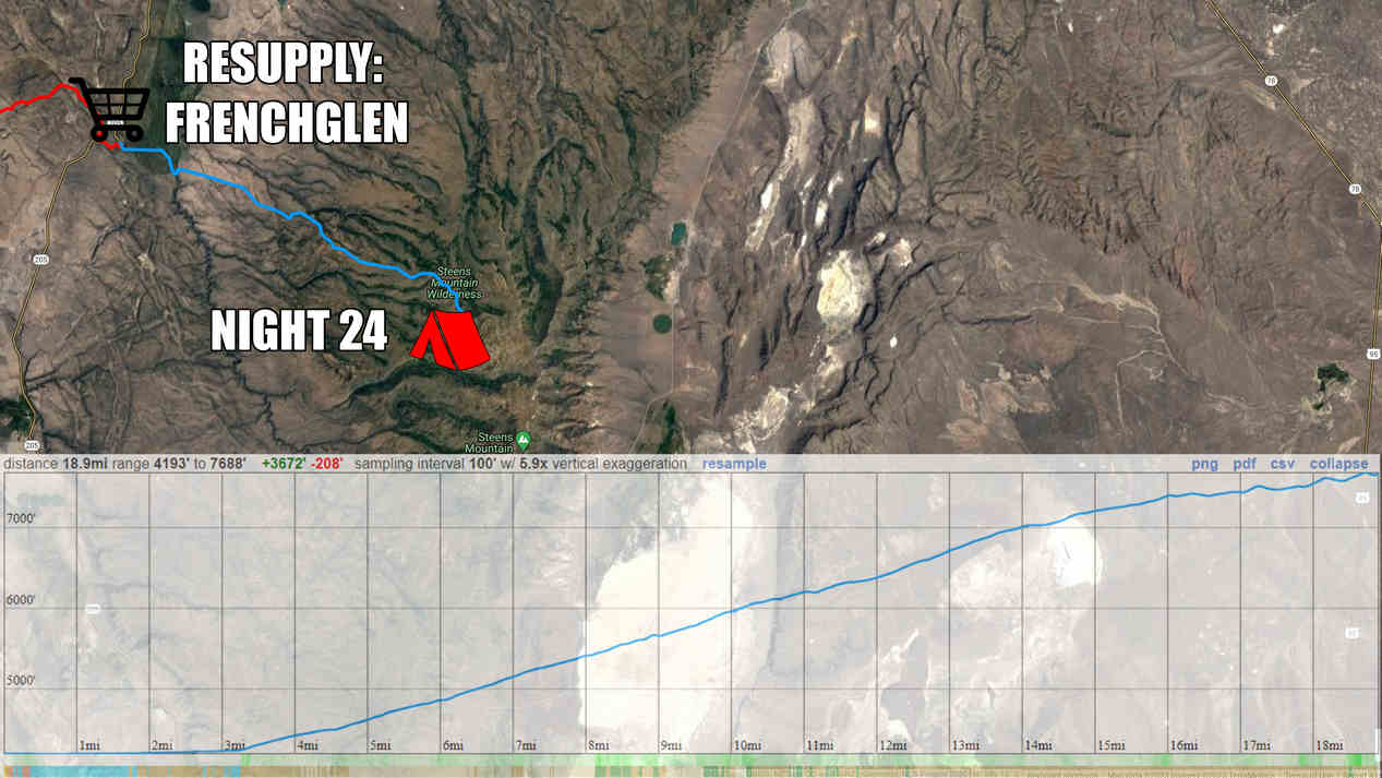
Day 24: Steens Mountains, High Water Alternate

June 4th

The weather was looking very nasty this morning. Dark clouds, high winds, and threatening to rain. Donny and I debated what to do. The rain stopped at 9, and was supposed to just be cloudy all day, until more rain comes around 7pm. Additionally, this lingering winter has held more snow in the Steens than anything else along this route. The temps have just reached the 70s last week, and the snow has been melting fast. This means high water crossings, some dangerous according to a recent report from another ODT hiker.

Heavy Teva had just left town 36 hours ago, and tells us he took a road up to the top, where there was snow, but nothing crazy. ONDA, who runs the ODT, also gave us some info on the route ahead, advising an alternate around Big Indian Creek and the water crossings there.

So, we have an alternate route lined up that will avoid the dangerous water crossings, still allow us to the high point. We’ll skip big Indian creek, unfortunately. We’ll hike the dirt road up to the top and rejoin the ODT route there before Steens Mountain summit.

The walk out of Frenchglen along our alternate is rather boring. It’s a long, flat looking plateau with sage and cows. The high country of the Steens is not visible at all from below. It’s a 5600ft climb to the top. Looking back across Blitzen Valley is really nice, though.

I make it to Fish Lake mid-afternoon. When Donny arrives, he takes a quick food break and we push on to Jackman campground, another 2 miles up the road. We pass a few small lakes, and “naughty girl meadow”. I’d love to know the story behind that name.

There’s more snow here at 7500′. Nothing really to walk through just yet, but it’s on the hillsides, especially the north facing slopes.

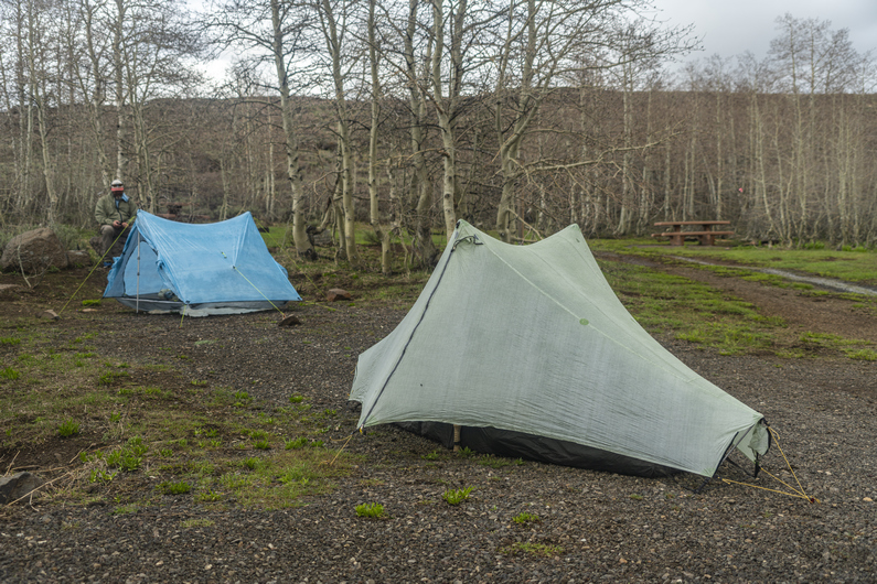
We reach Jackman campground around 5:30. It doesn’t make sense to go any higher tonight, as this appears to be the last spot along the route with trees until we go over the crest of the Steens and drop down the other side. We want the cover from the wind, and it’s supposed to rain all night. Plus, there are amenities here, like pit toilets, garbage cans (very surprised!), picnic tables and a water pump.

We set camp up by 6pm, very early by thru hiker standards. It’s raining by 8pm, so we are happy to have made the right call tonight.

ODT Day 24 Map

Day 25: Steens Mountain Summit, Wildhorse Canyon, Indian Canyon

June 5th

It literally rained all night. The wind was also whipping pretty hard, and blowing into my tent. Not only that, water was pooling up under my tent, and soaking through. Despite this, I was warm In my quilt, even though that had become damp. It was a fairly stressful night, between the wind and water.

The rain didn’t let up until 9:00 a.m. When I open my tent this morning, we were basically in the clouds. Much of my gear is wet, and my motivation level is low. Donny got a half hour head start on me, and I will try and play catch up this morning.

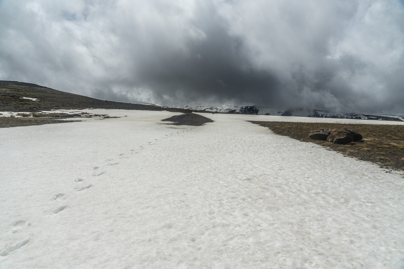
I continue walking the road uphill. It’s not long before I encounter my first patch of snow over the road. All the small creeks alongside the road are swollen with melt water.

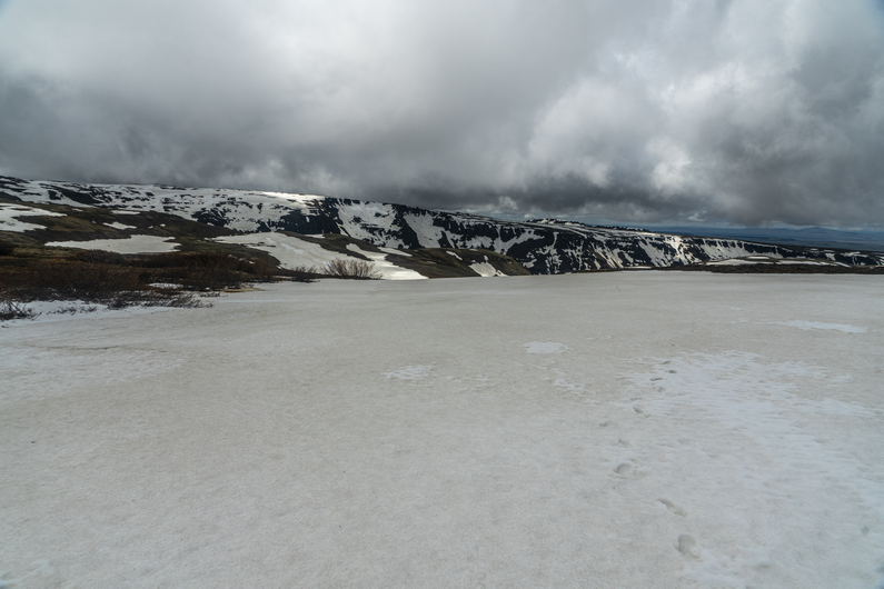
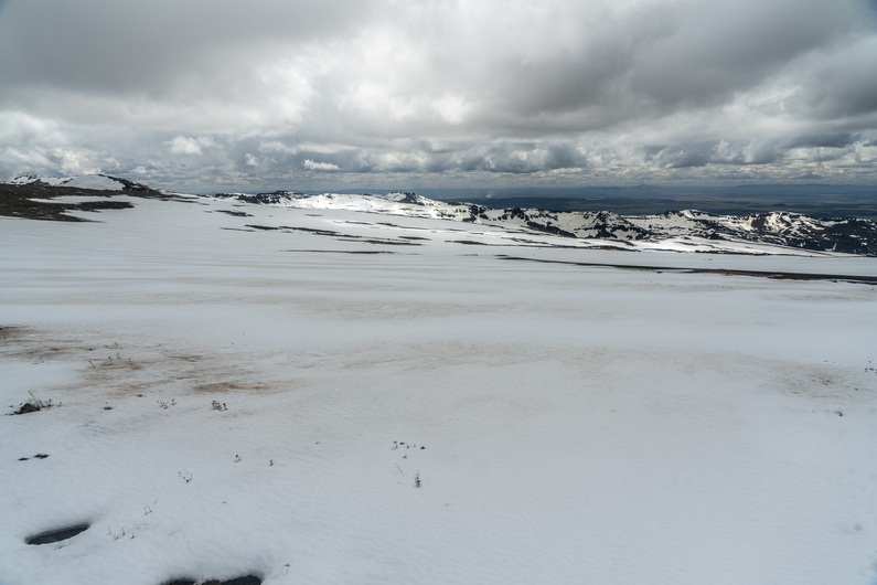
Conditions rapidly deteriorate as I gain elevation. The stretches of snow become longer, and eventually, I begin to post hole. I see Donny’s footsteps, and they are full of water. I tried to take a different path, but it’s no use; my footsteps suffer the same fate. Here, I’m crossing a snow covered meadow, and it’s just filled with water. There is no avoiding it. My shoes are full of water now, and it’s icy cold.

In the distance ahead, I can see Donny. I assume he’s going to take a break, since it’s been a few hours now since we left, But he keeps going. I’m ready for a break though, so I try and take cover behind a rock. My tortillas are blowing away in the wind as I try and eat!

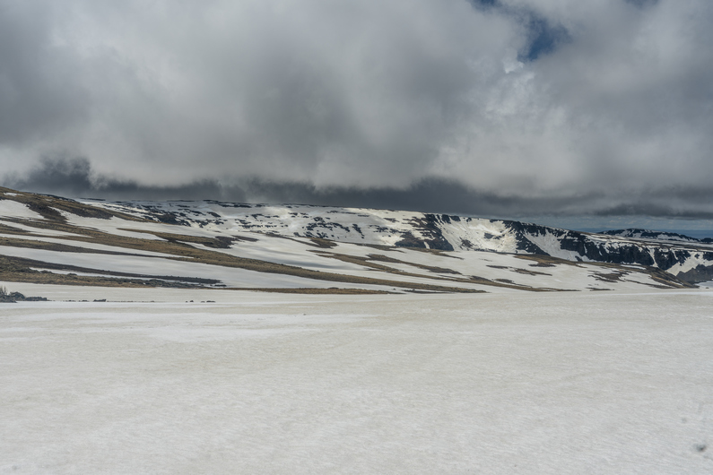
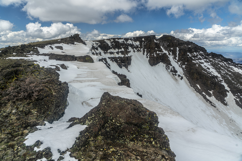
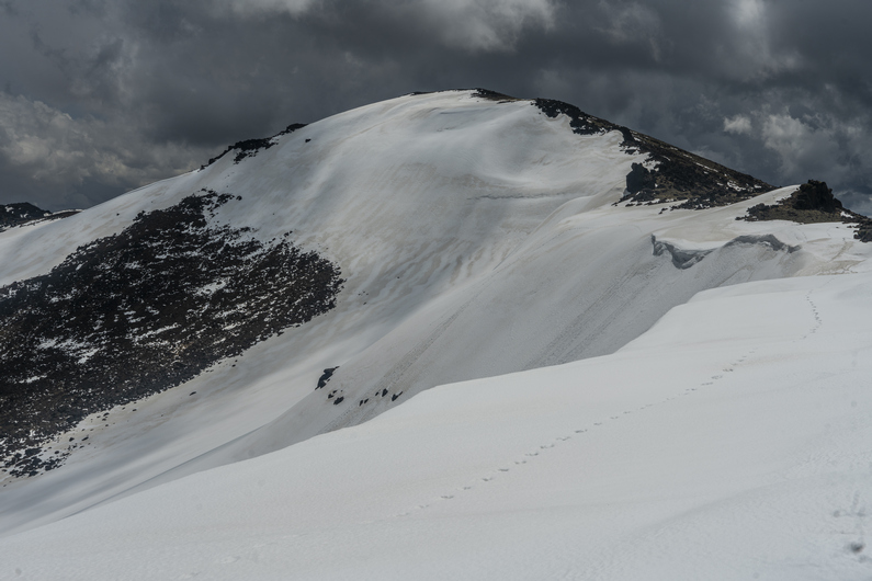
There are fast moving dark clouds everywhere on the horizon. Eventually, a few of them spit freezing rain at me. The road is near the edge of a huge cliff facing east, so I walk up to the edge. Wow! There’s a huge amount of snow just below the ridge line, and a massive. The winds are blowing 35 mph today, but up on this ridgeline, the gusts must be 60 mph. They catch me by surprise, and nearly blow me off my feet.

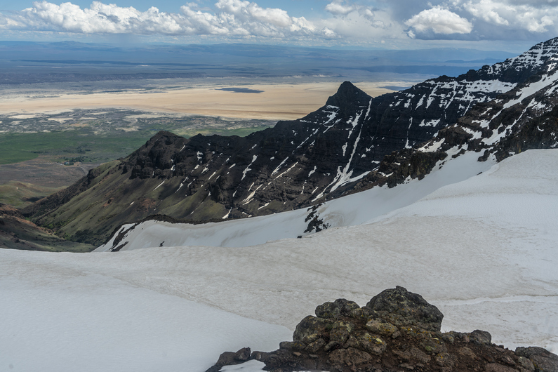
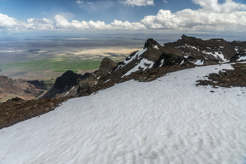
The road disappears under snow now. Out of frustration, I seek a route around it. This leads me to the top of a ridgeline. More amazing views, now overlooking the Alvord Desert.

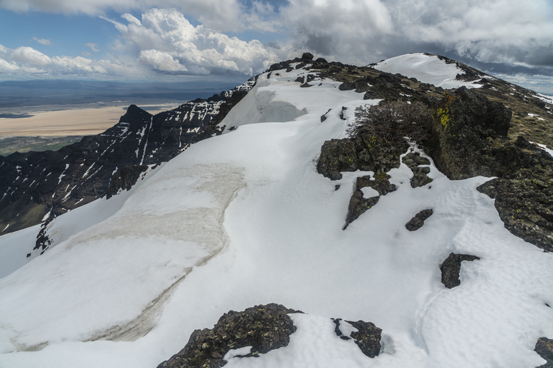
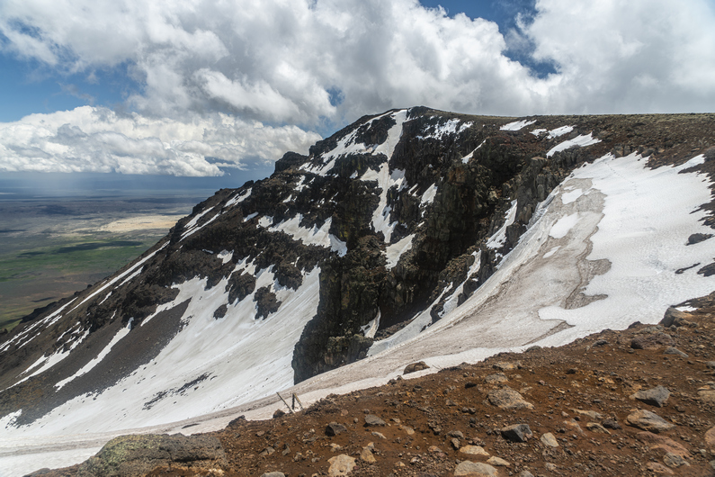
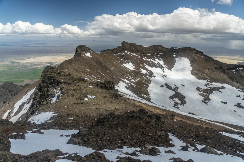
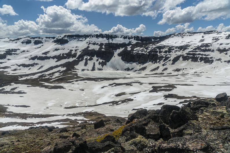
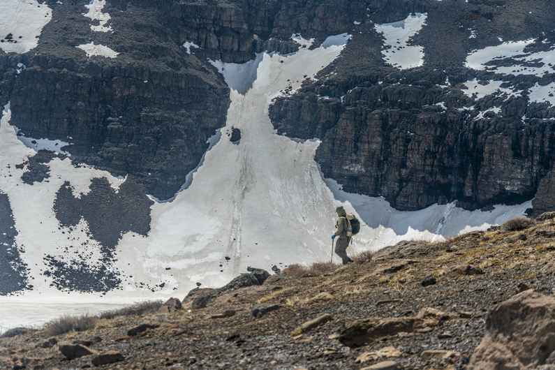
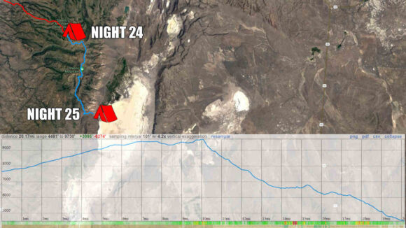
Eventually I reach the Radio Tower at the top of Steens Mountain, 9,733 ft. This is the highest point along the Oregon Desert Trail. The wiew down over Wild Horse Canyon is awesome. There’s a massive amount of snow in the upper basin, and Wild Horse Lake is completely frozen over. That’s where I’m headed next.

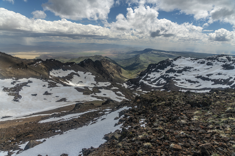
I stop for a quick break behind some of the radio equipment and eat some food. Then I look for a route down. This is one of those scenarios where It looks imposing from the top, but once you peek over the edge and start working your way down, the route looks very manageable. A few hundred yards below the summit, I see Donny taking a break in the boulders, and catch up to him.

We skirt the snowfields and take a route down to Wildhorse lake. We stand at the shore of the frozen lake, and watch water gush from the outlet. So much water!

Several waterfalls exist downstream from the lake. The wind blows so hard that some of the waterfalls is flowing up, instead of down!

The canyon walls are deep, steep and rugged. Many spires line the top. It’s an outstanding glacial canyon that seems out of place for the rest of Oregon. And it really is, that’s what makes the Steens unique.

Lower in the canyon, the bushwhacking starts. It’s a few miles of horribly thick sagebrush across increasingly steep slopes. Yuk.

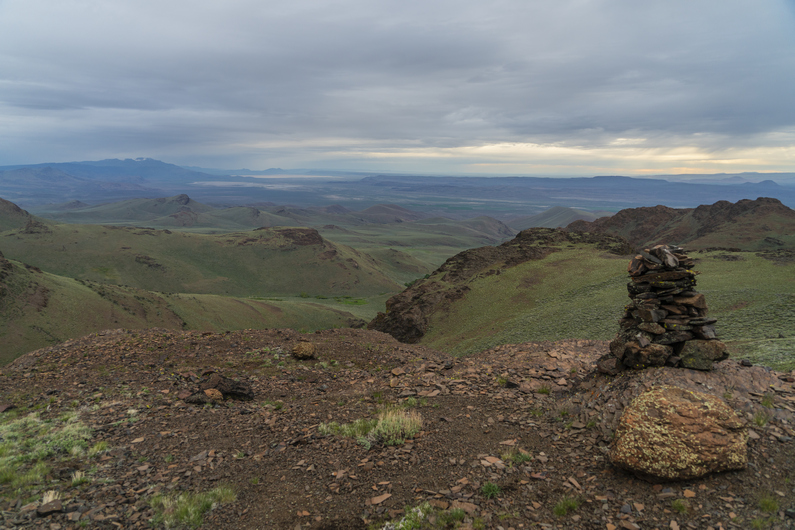
The route passes through some spires and hoodoos, and I find a chute up and over the ridge. Then I traverse a hillside leading up to a pass. A rock cairn marks the top. The wind is whipping here, I can barely stand.

I drop down into Indian Canyon on the other side of the pass. I filter some water from a small creek, and then stumble across an old 4×4 road. This is a pleasant surprise, the map shows the road much farther downhill, and I wasn’t expecting it here.

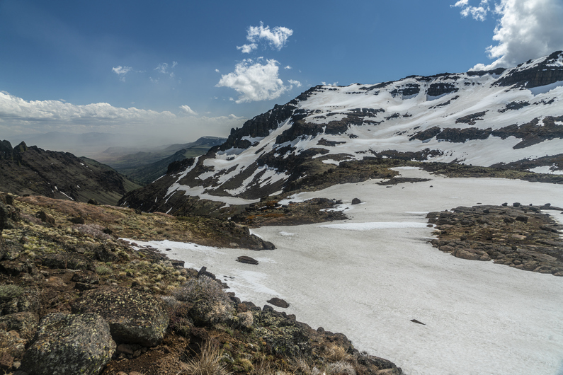
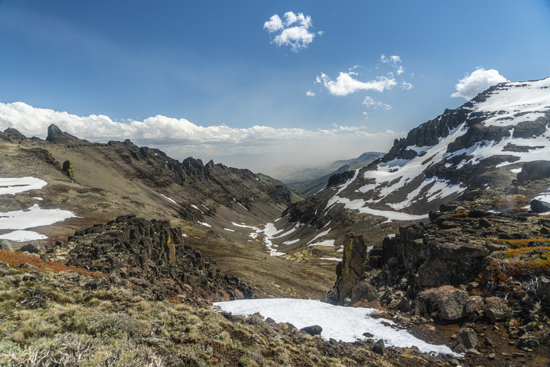
The hike through Indian Canyon is really nice. Every time I look behind me, I am more impressed by the view of the Steens. At times, I am reminded of Glacier National Park. And that’s not a bad thing at all!

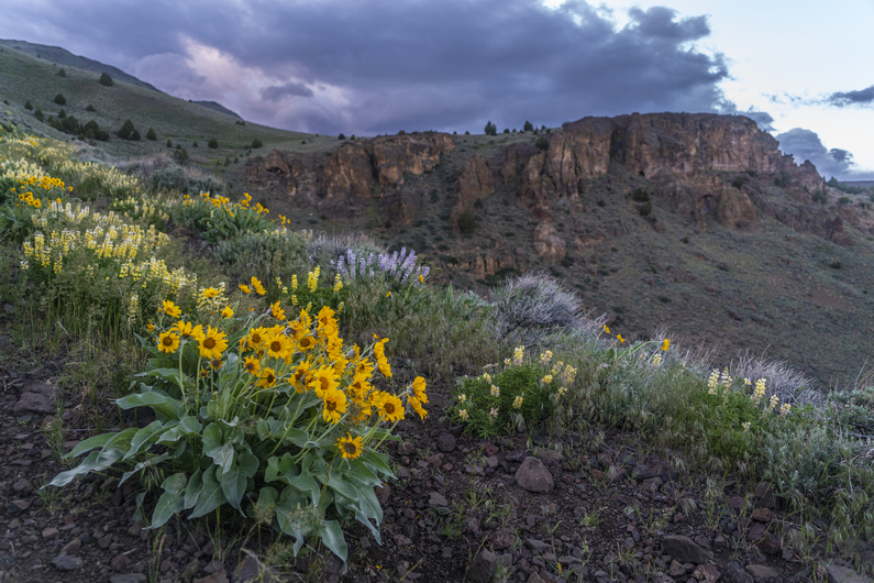
The views over Alvord Desert are excellent as I descend the canyon. Many colorful wildflowers line the road. It’s getting late though, and I’m looking for a campsite. I shoot for a saddle, the last one before dropping down to the Alvord Desert. However, when I get there, I’m disappointed to learn there is nowhere to camp. So, I continue downhill.

It’s a steep road down, with nowhere to camp. Then I see a flat spot, and try to set up my tent. The high winds blow it over repeatedly as I set it up, and I am getting frustrated. So, I pack up my tent, and keep hiking downhill.

At the bottom of the hill, it’s full-on cow county. I find a subpar spot along a dirt road about 1/2 mile from the Alvord Hot Spring property, where it would cost $40/night to camp. No way!! I set up my tent by headlamp and finally call it a day. This was a long, difficult day.

ODT Day 25 Map

Day 26: Hiking the Alvord Desert

June 6th

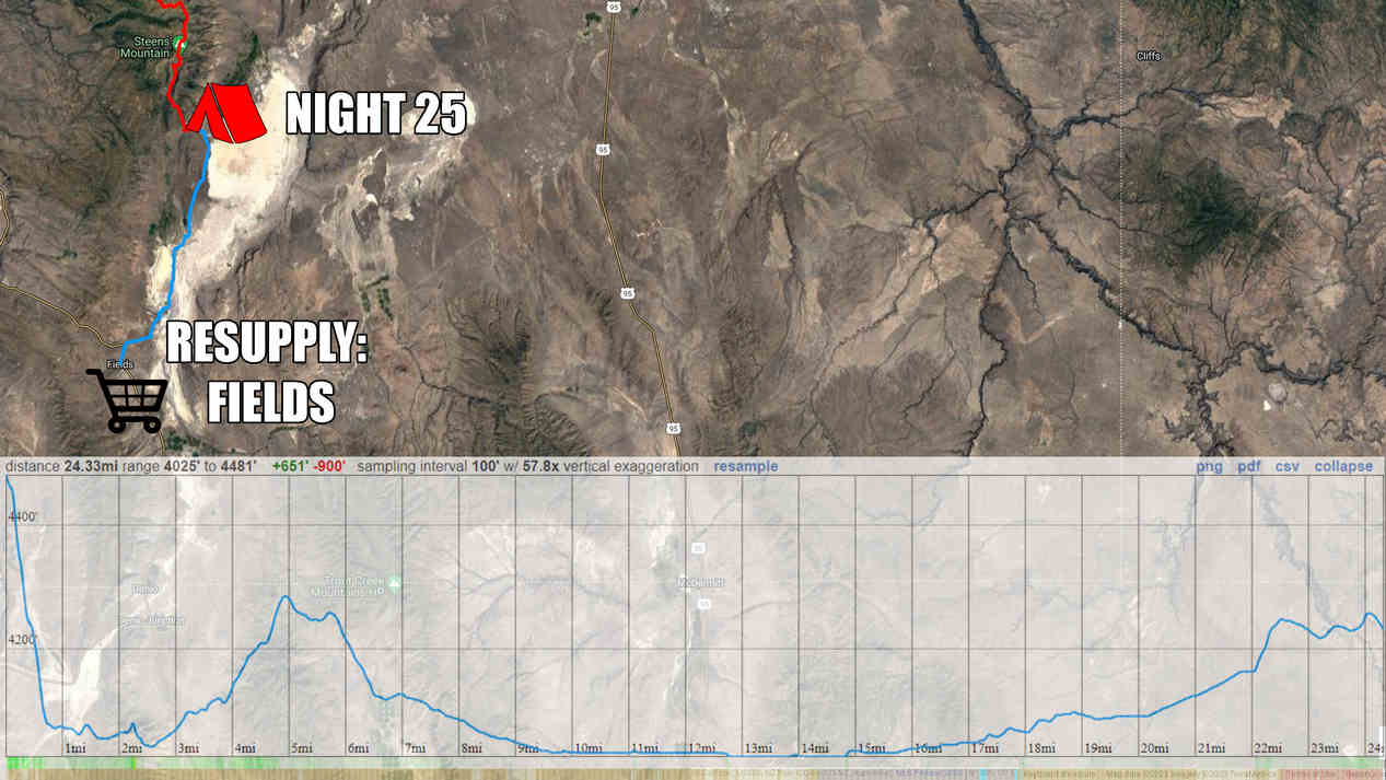
The cows moan like zombies and wake me up early this morning. I’m hiking by 6:45, probably a good thing since I have 25 miles to Fields. The cafe closes at 3:30, so I gotta hurry if I want a hot meal today. There’s a burger and milkshake waiting for me, but I gotta move!

I walk through the Alvord Hot Springs complex, and reach pavement. Behind me, the Steens look majestic with the clouds hugging the high peaks. Beautiful.

I get water from Frog Spring along the edge of the Alvord Desert playa. I continue south and hit some dirt roads, which I follow for miles along some ranch property. The skies darken and spit rain briefly, at odds with the weather forecast. Typical.

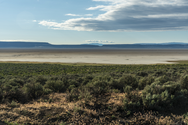
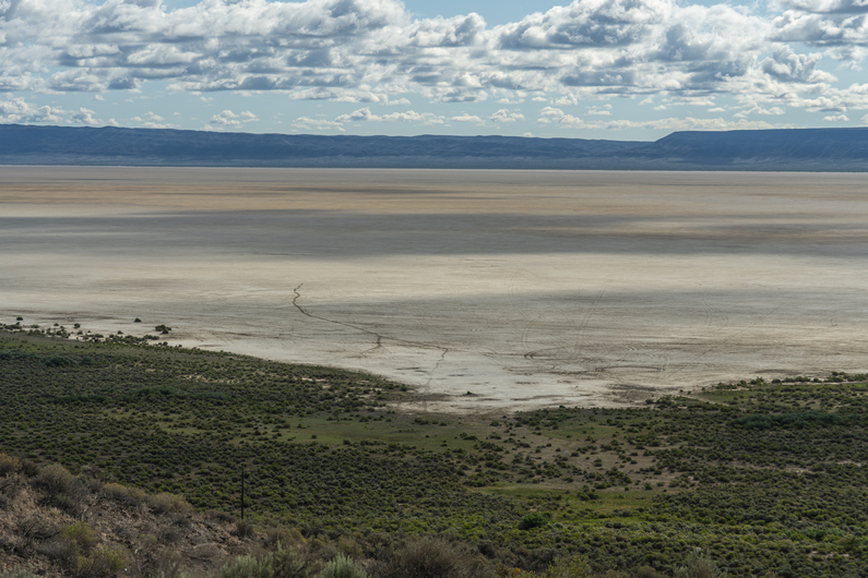
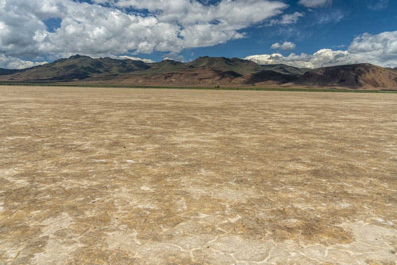
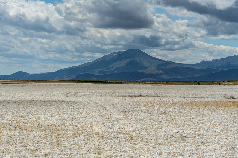
I reach Alvord Lake and walk the playa. The idea of hiking these dried lake beds was always a bit fascinating to me, but I don’t always trust the route will work out. I stay near the edge, with the memory of my Hart Lake crossing fresh in my mind from about a week ago. The playa proves to be solid, and a great walk.

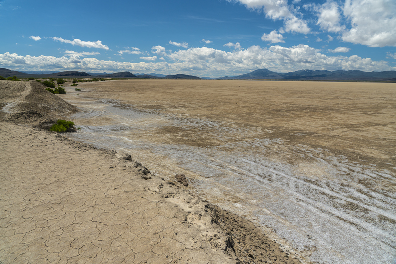
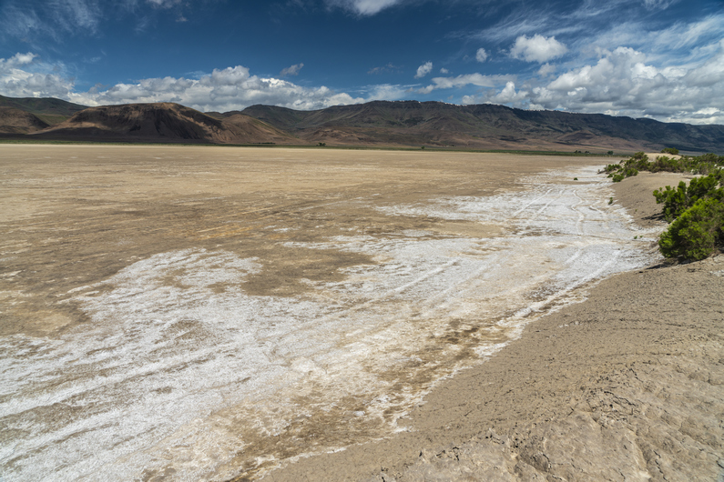
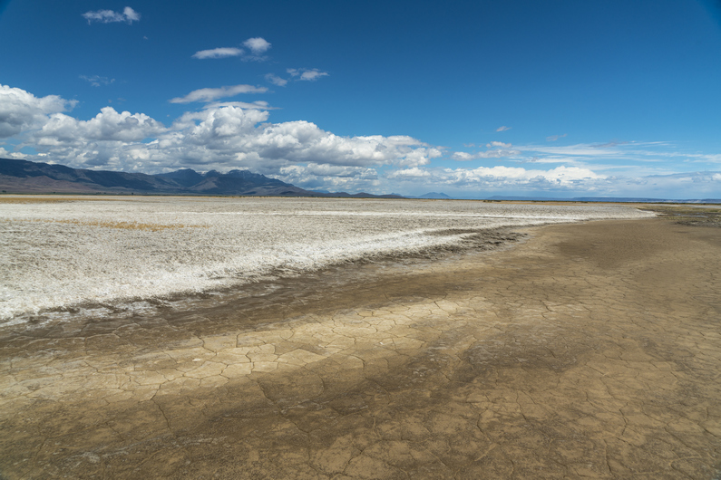
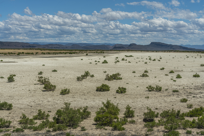
South of Alvord Lake, the enjoyment factor of the route deteriorates rapidly. No longer am I walking on flat, dried mud. Now, it’s looser and lumpier mud that’s softer, and covered with a white salty deposit. It’s similar to postholing through snow or walking through deep sand… slow, tedious and tiring.

In the middle of all this, I see a few wooden posts with red flags. Upon closer inspection, I see a film canister attached to the top. This is a mining claim marker. These posts are supposed to be on the four corners of a mining claim. Inside the film canister, there’s paperwork describing the mining claim belongs to Sierra Lithium LLC. This is a lithium deposit, presumably. But there is no mining going on here.

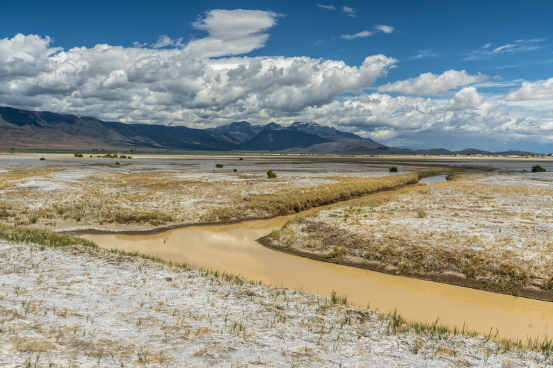
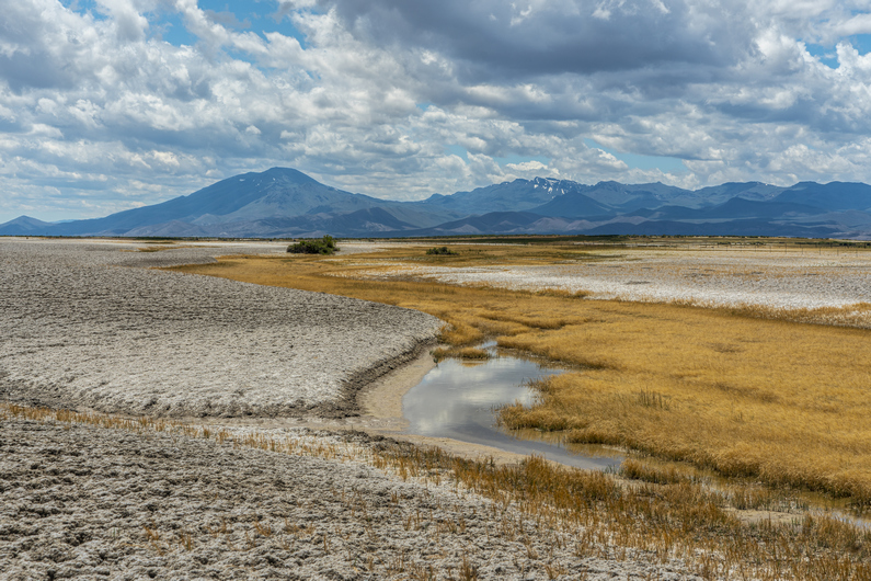
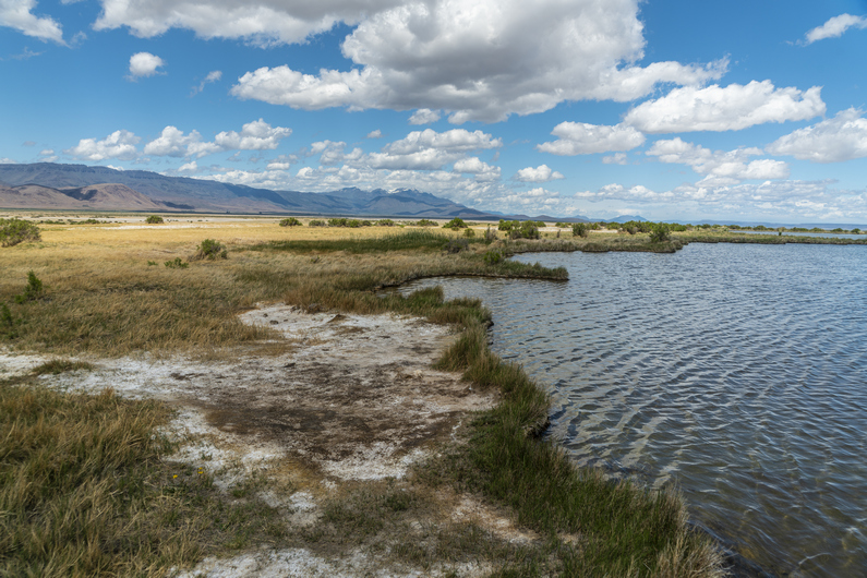
Continuing south, the route gets even worse. Now, there’s a lot of mud and water. It’s turning into a marsh. There are many braided channels and networks of water here, with no obvious way to go around them. It’s salty water and mud, which stings and irritates the skin. There are reeds knee-high, hiding more mud and salt brine. It’s an awful thing to walk through. And there is no reason for a human to be here, ever. I was truly dumbfounded that the ODT route purposely goes through here, when there are other options to avoid it… such as hiking across the Alvord Lake playa miles to the north. Too late for that.

With shoes full of nasty, foul smelling mud, I trudge through the remaining marsh lands. I stumbled out of the marsh and walk past a few pools of hot water. While I didn’t test the temperature, I could feel the heat from several feet away. I could only think how easy it would be to accidentally step into one of these while walking the route out of the marsh. Another reason I was shocked the ODT would go through this spot.

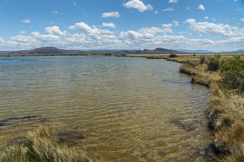
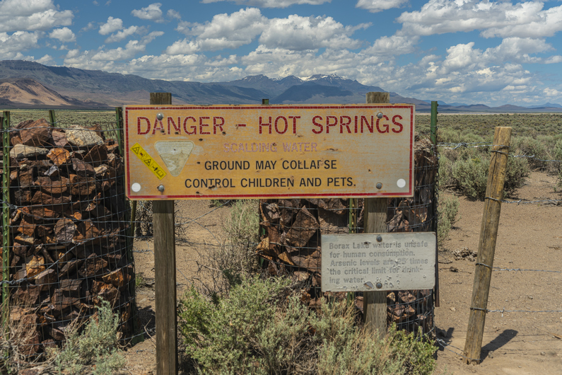
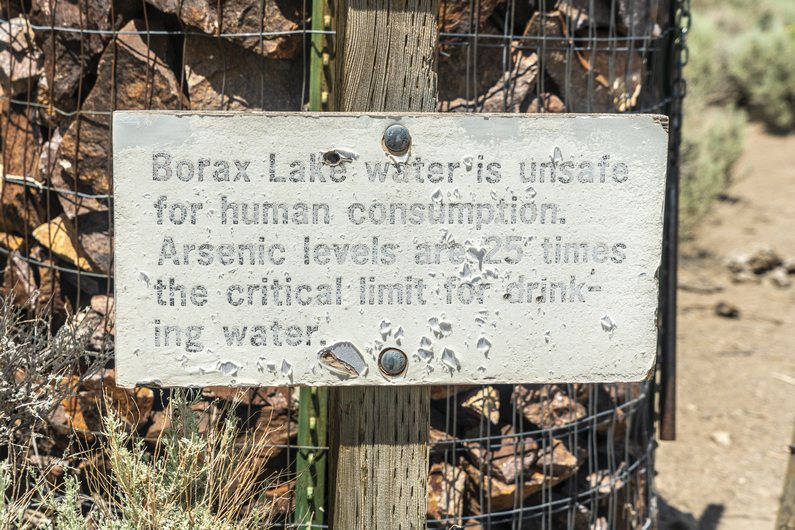
I reached a small dirt road and walked past borax lake, a “hot spring”. It’s a sizeable lake, and the water is just barely warm. However, it has 25x the safe level of arsenic for drinking or soaking. I didn’t know this at the time, and dipped my feet in the water with y shoes on to clean off all the horrible stinking mud. Not recommended, but I survived.

The slow hiking over the last few miles has threatened my ability to reach Fields before the cafe closes. Now, I have 6 miles to hike in 2 hours. No problem, but I’d like to get there 30 min before they close, just to be safe. So, I intermittently jog the rest of the way into town.

I make it to Fields at 3pm, plenty of time to get my burger and milkshake. It turns out, the grill is open to 4:15, not 3:30 as the ODT guide says. I wouldn’t have run those miles had I known this, which causes some sore feet and blisters on the tips of my toes. Especially after being wet and muddy!

I was planning on camping at Fields Station, which is free, but since I was covered in nasty, stinking mud, I got a room instead. Plus, I was feeling pretty wrecked, and was thankful to take a shower and the ability to clean my shoes and socks.

Donny made it to Fields at 9pm. I had ordered a burger and coke to-go for him, so he had this waiting for him when he arrived. What a pal, right?

ODT Day 26 Map

–> Continue reading Oregon Desert Trail Section 7: Fields to Denio (28 miles)

Back to Oregon Desert Trail Thru Hiking Guide & Journal index

Related Images:

×