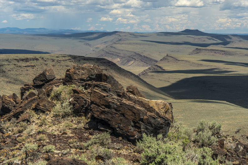
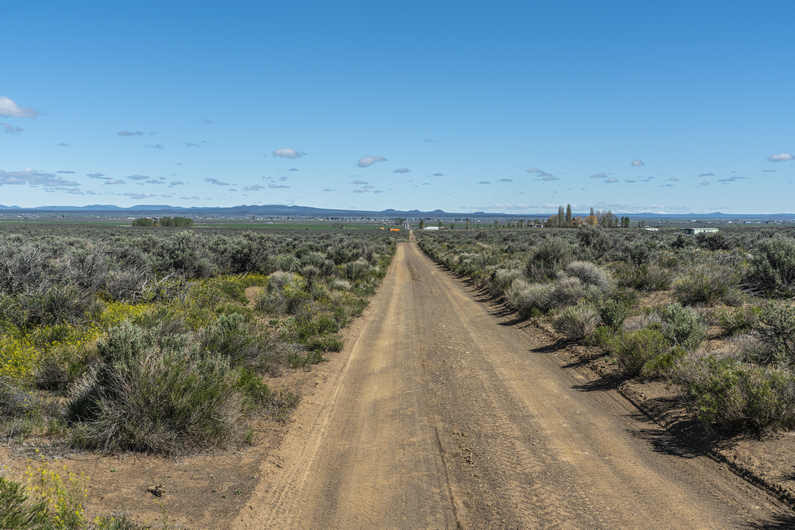
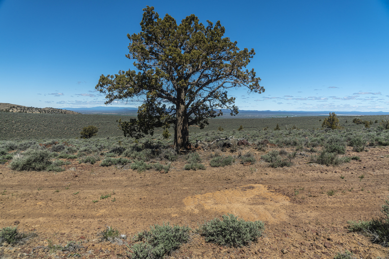
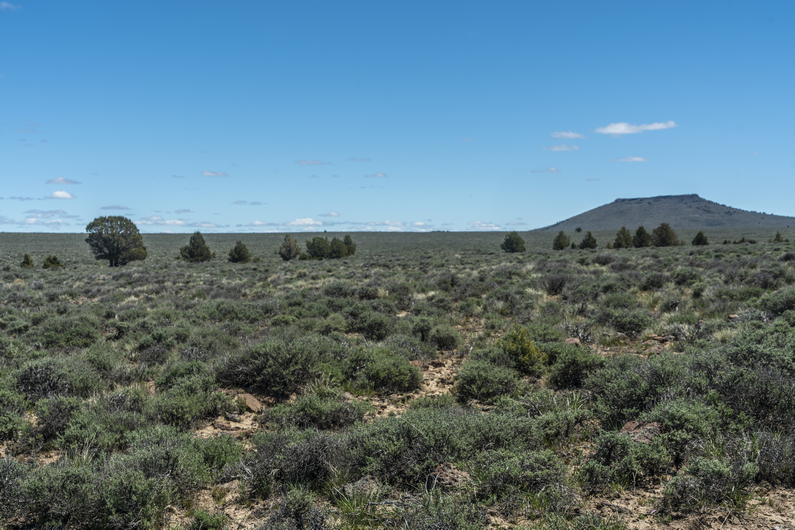
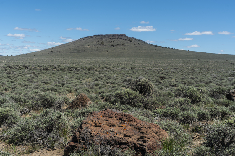
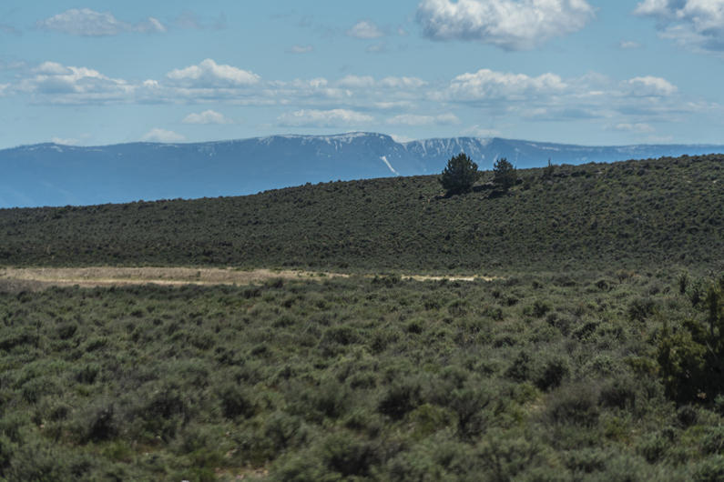
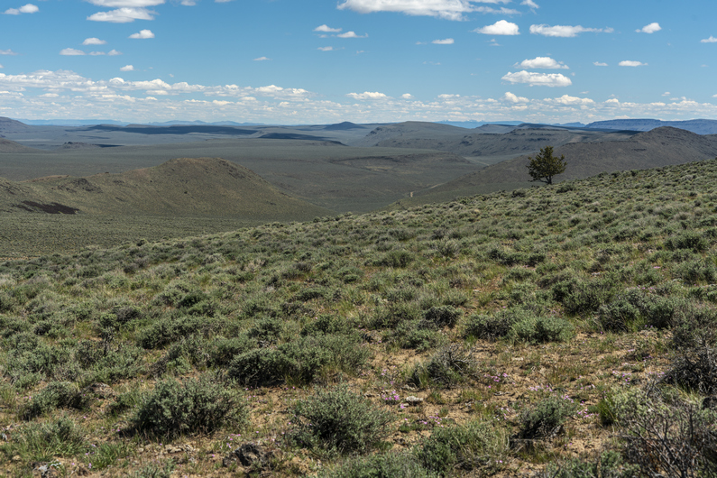
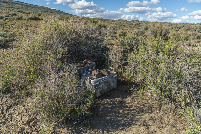
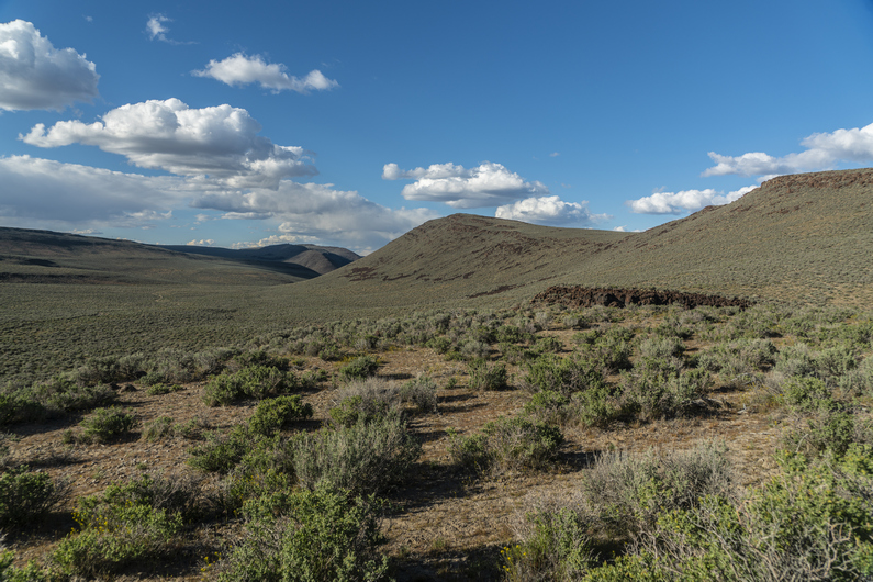
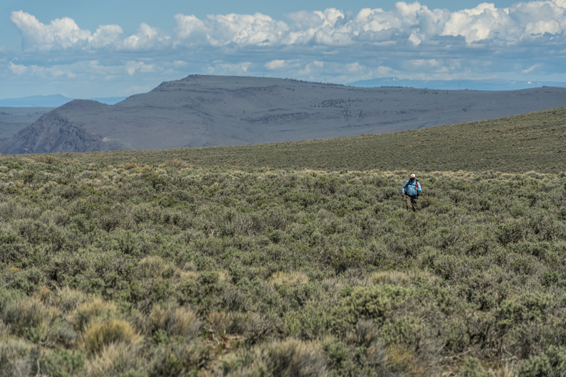
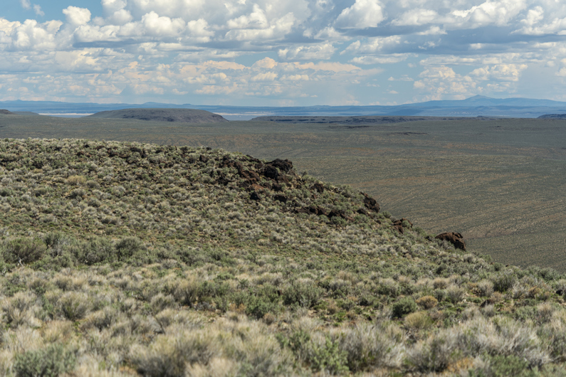
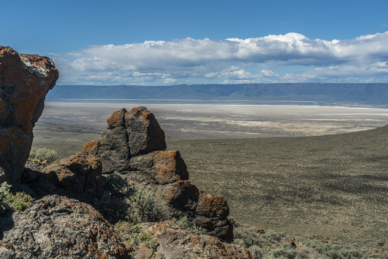
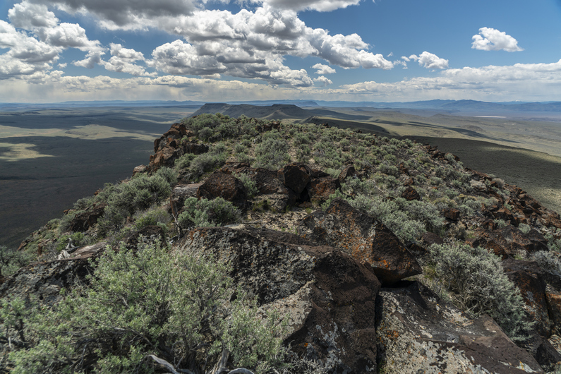
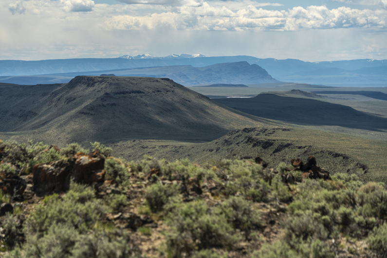
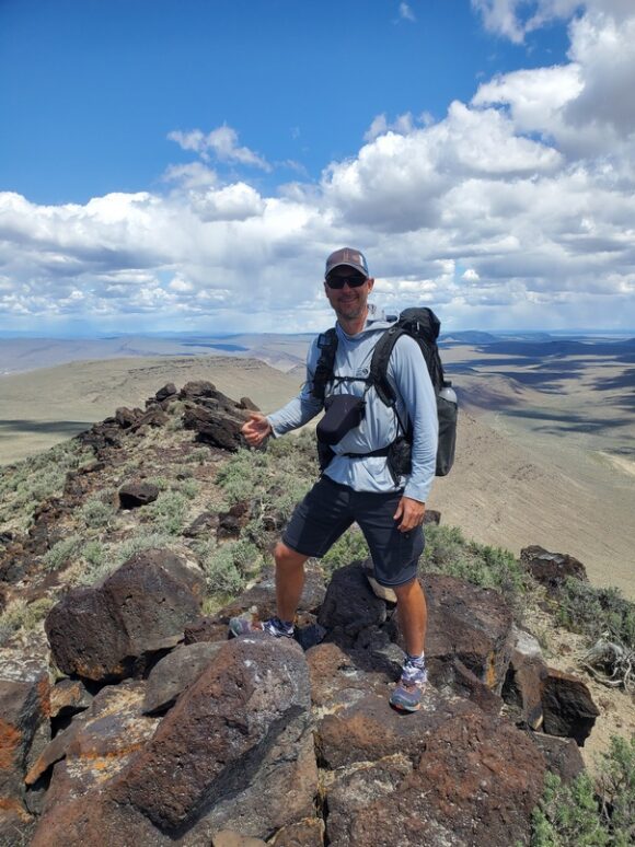
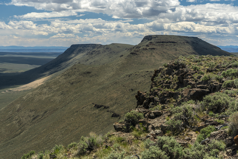
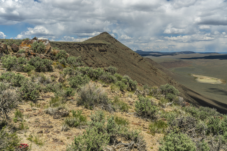
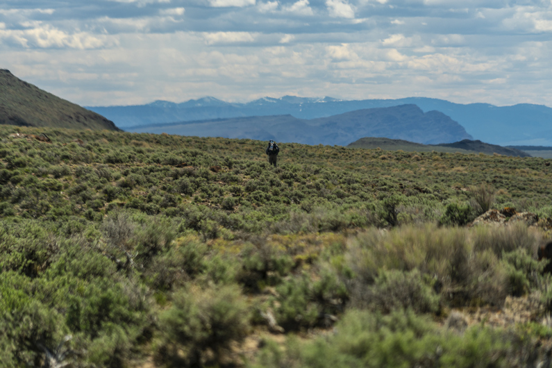
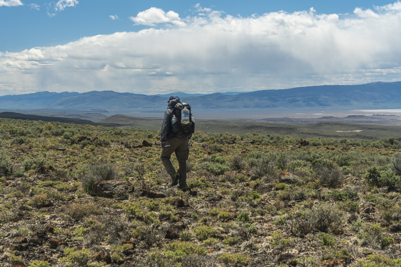
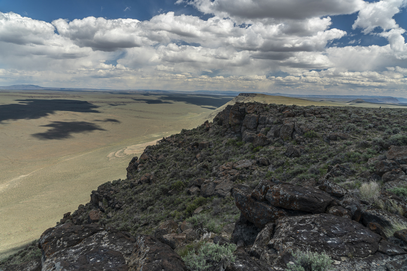
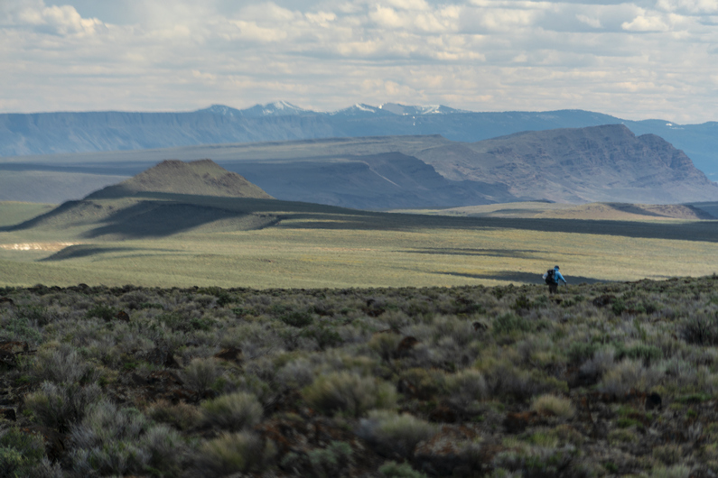
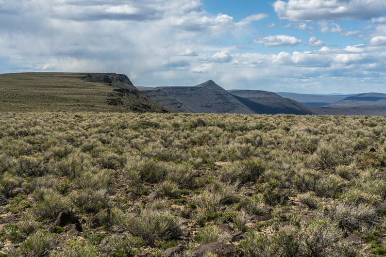
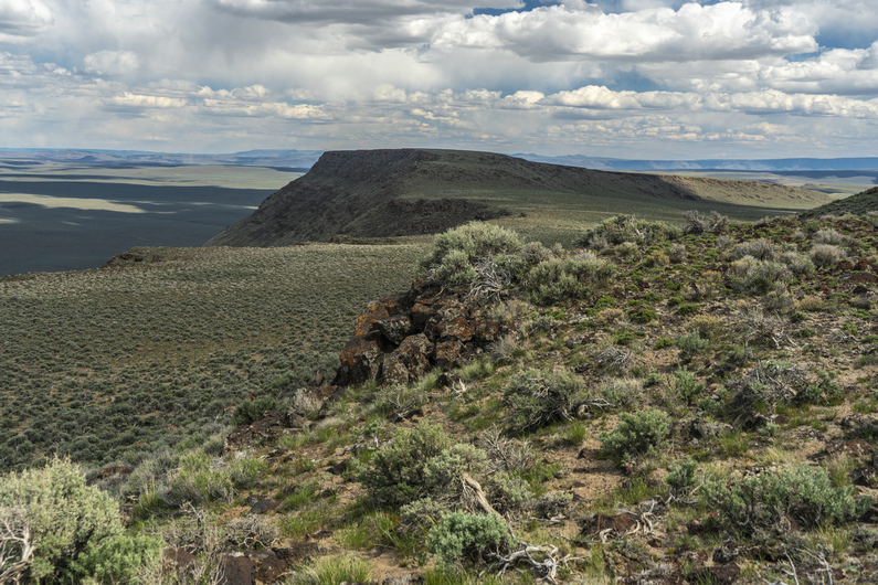
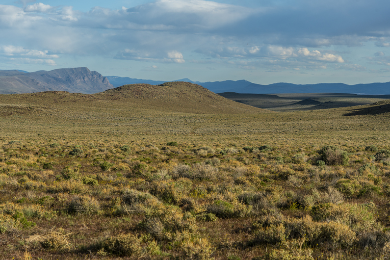
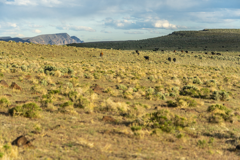
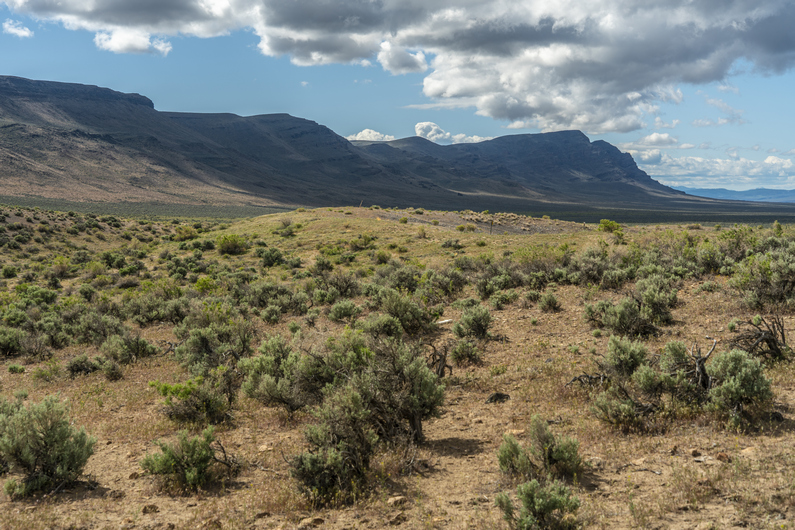
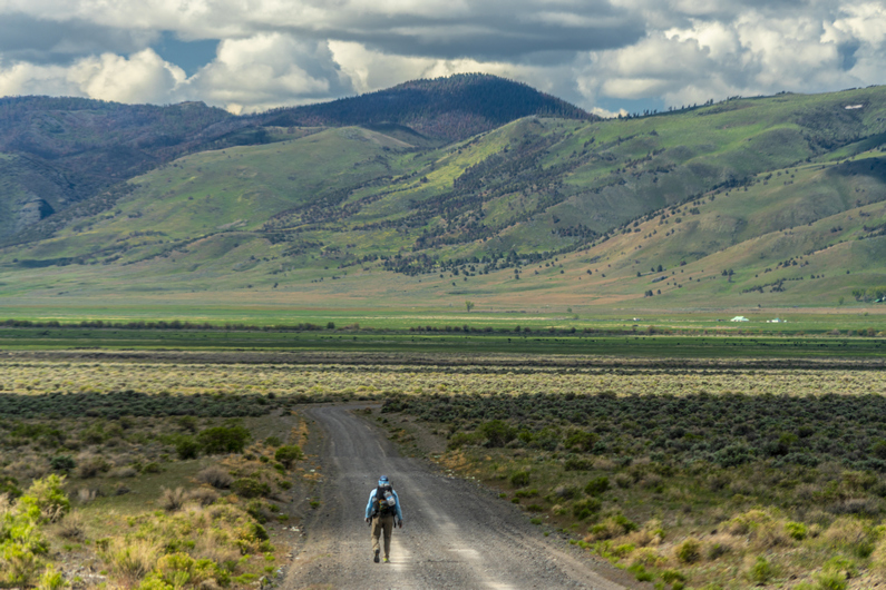
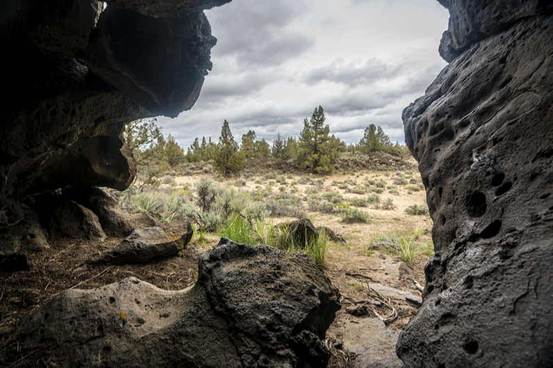
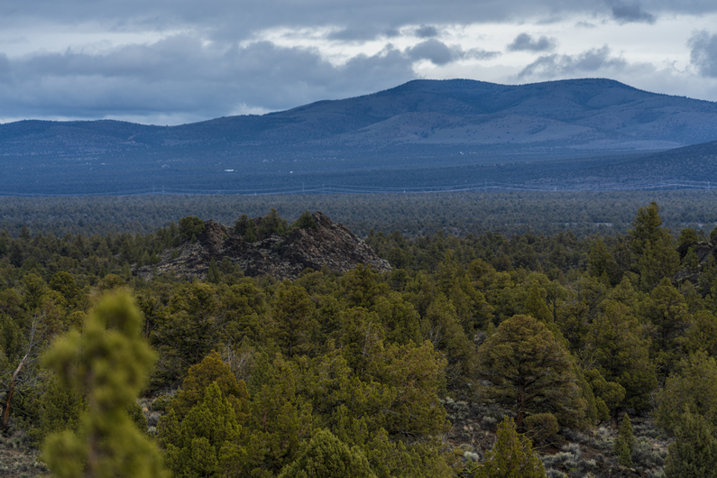
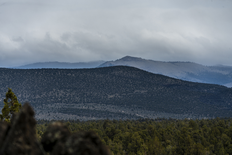
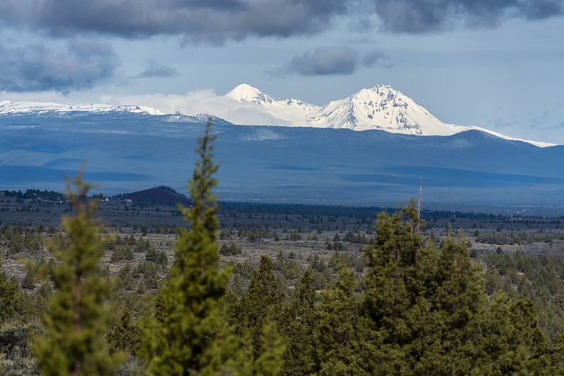
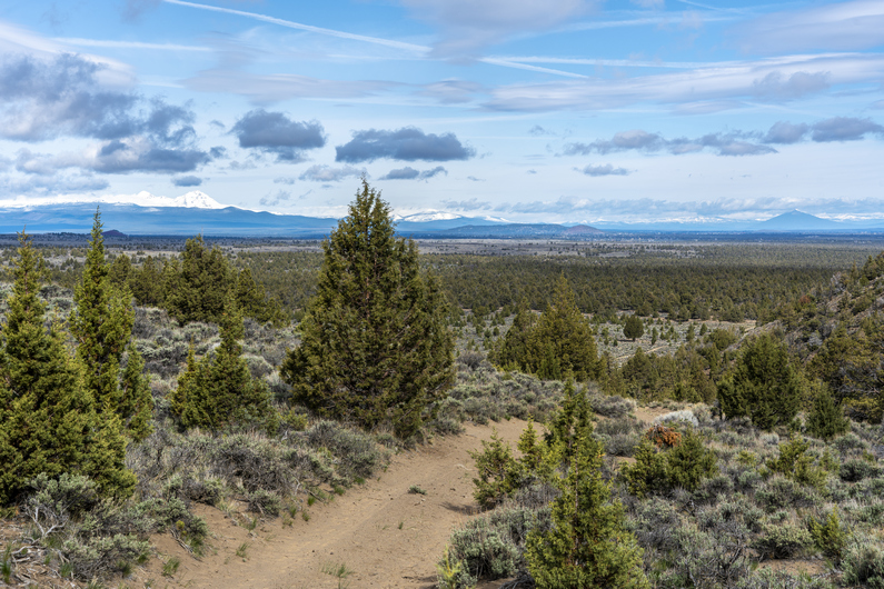
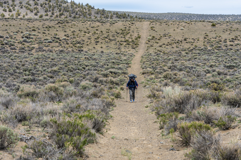
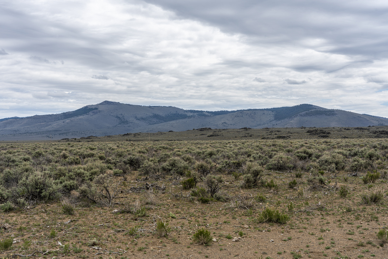
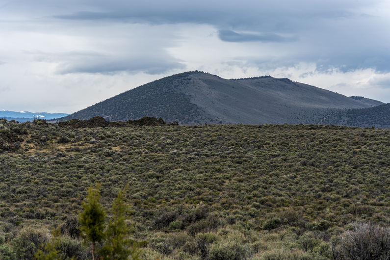
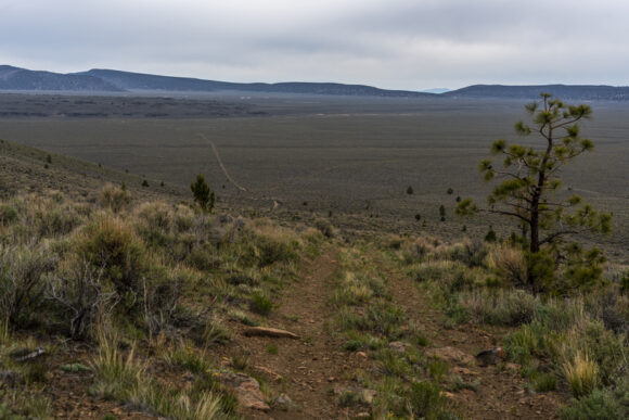
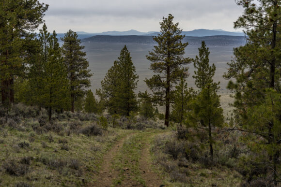
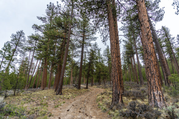
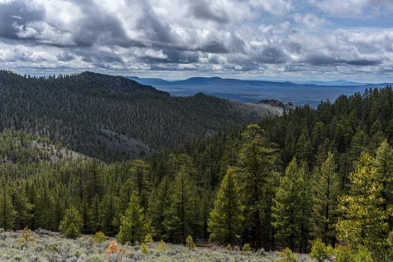
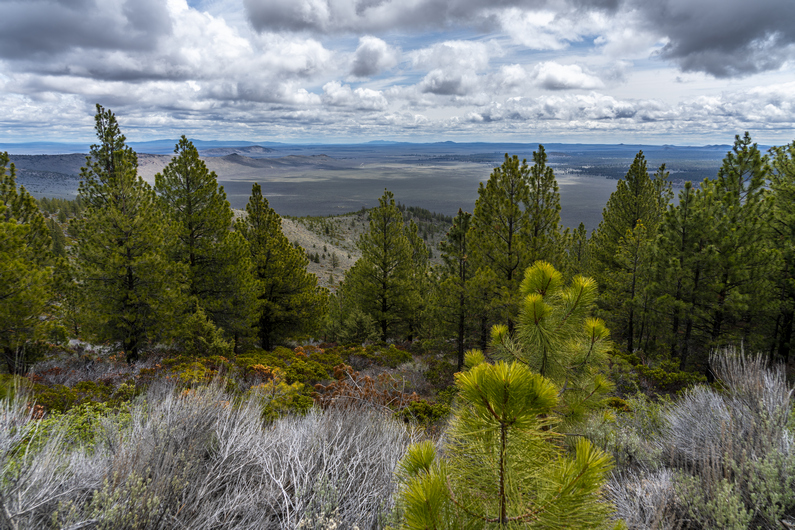
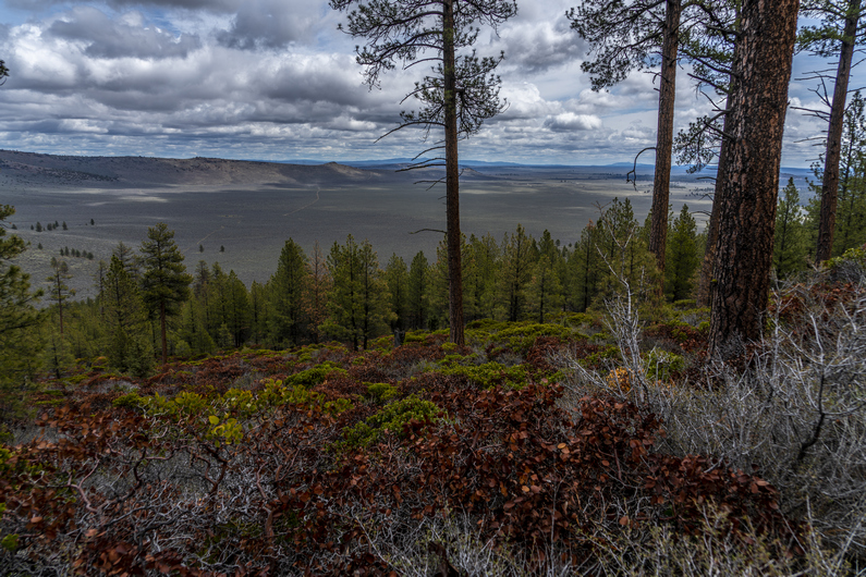
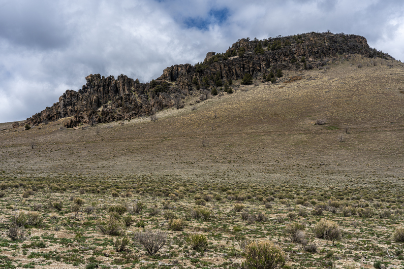
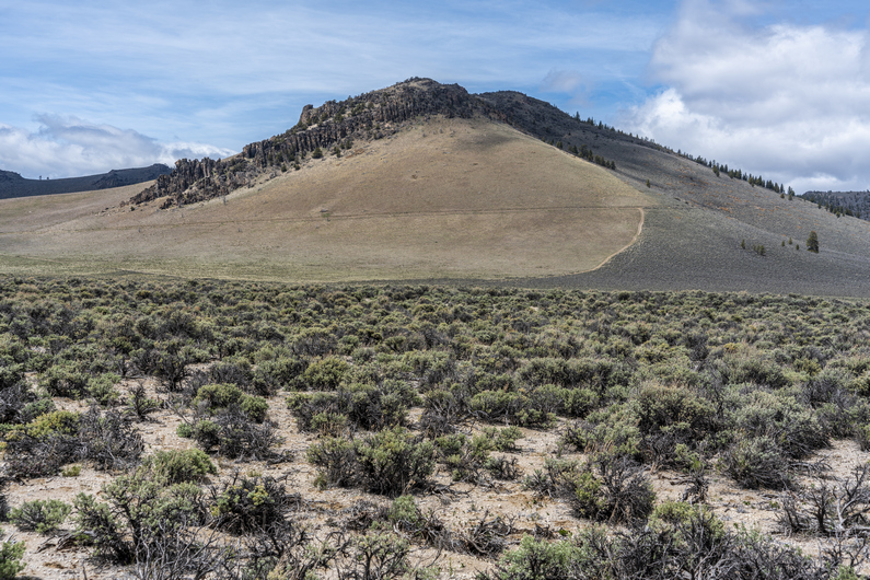
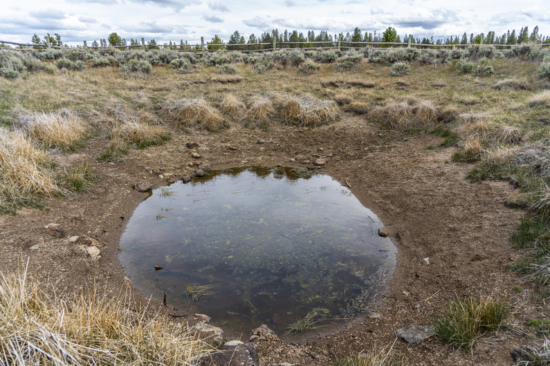
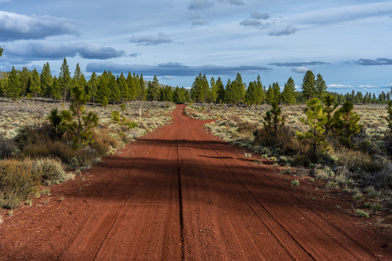
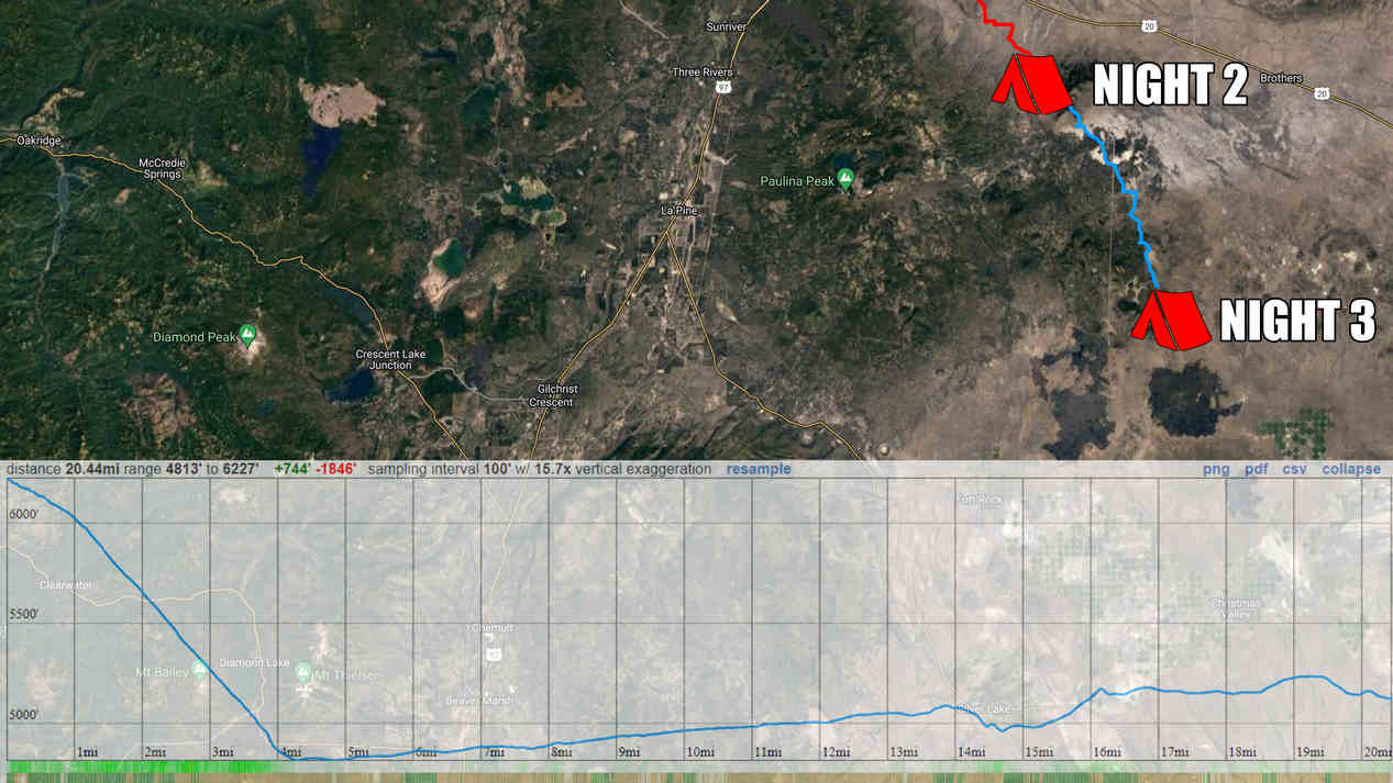
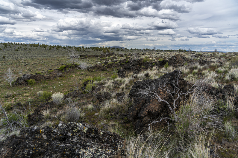
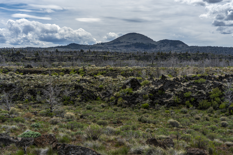
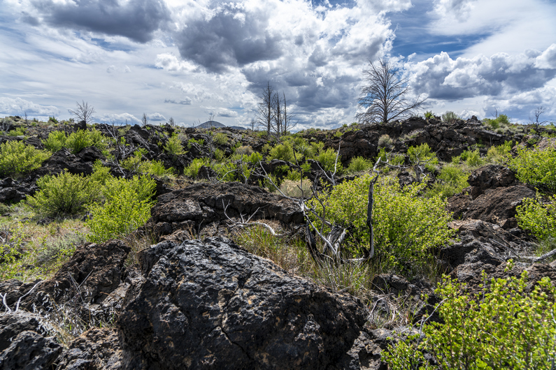
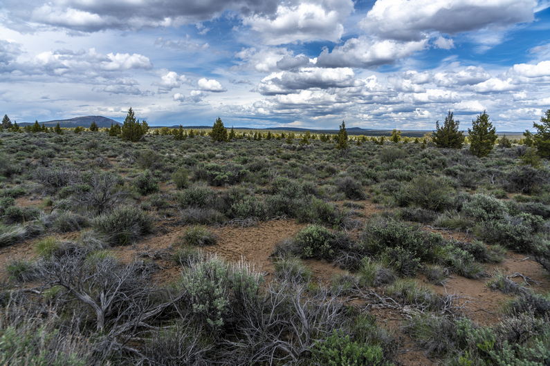
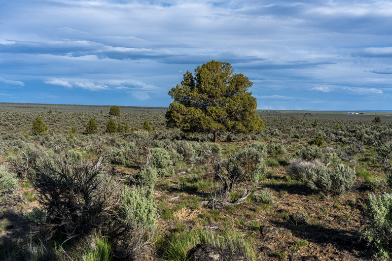
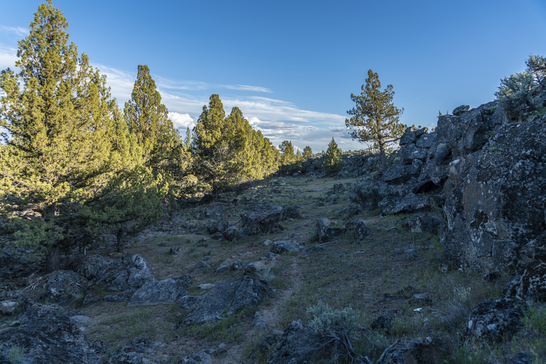
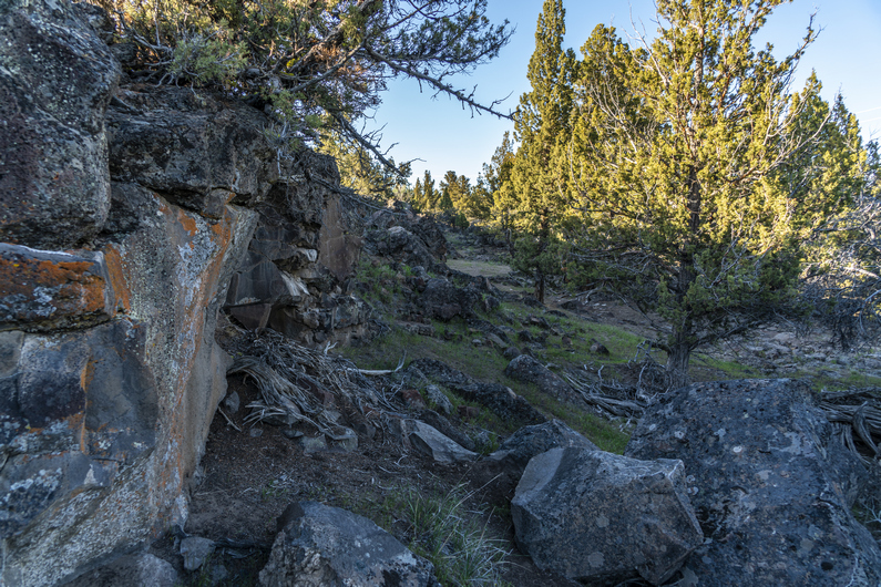
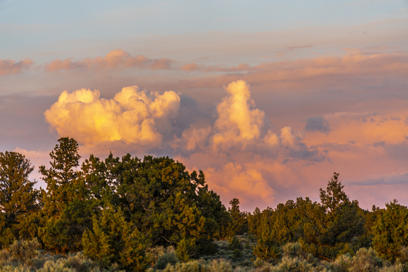
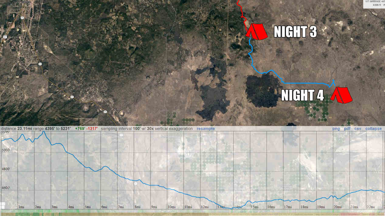
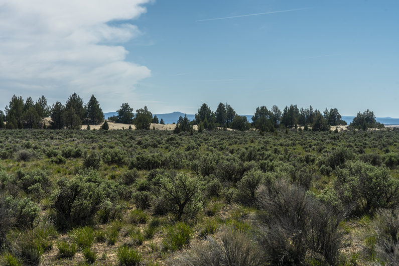
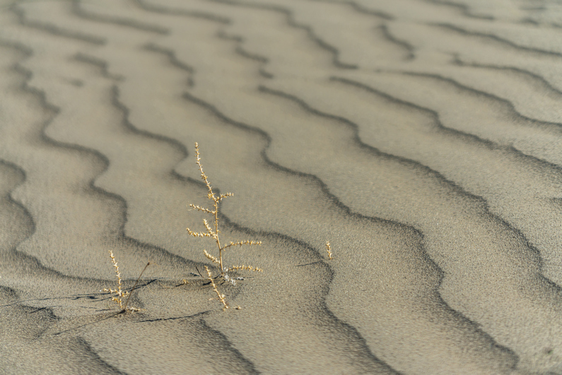
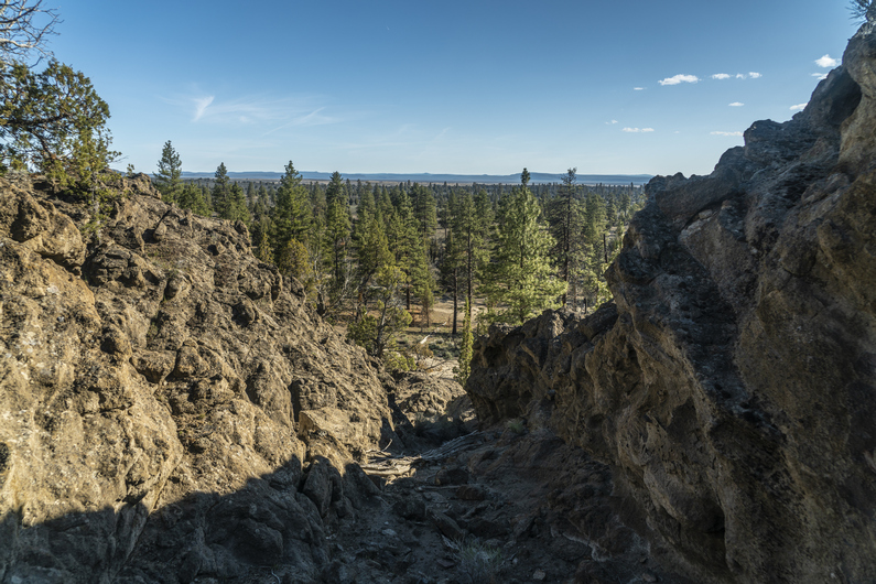
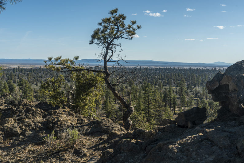
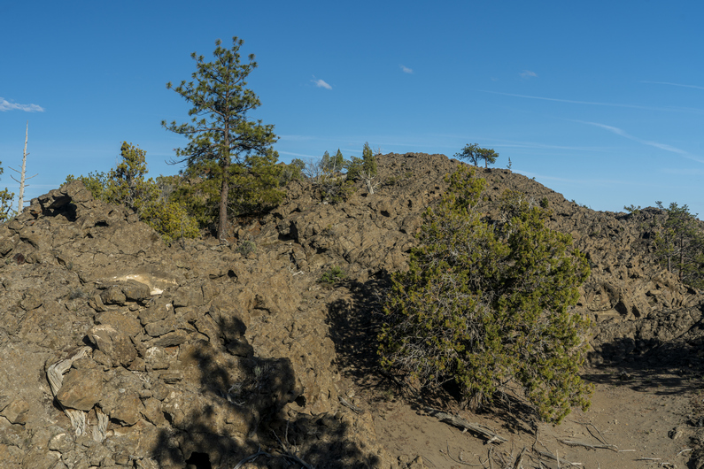
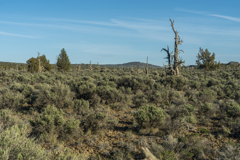
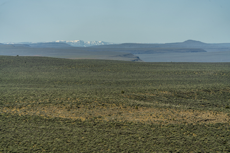
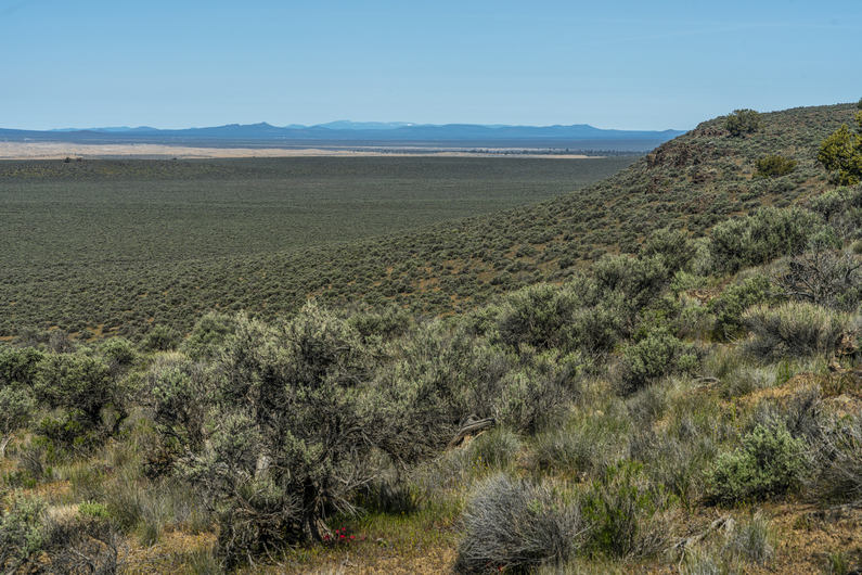
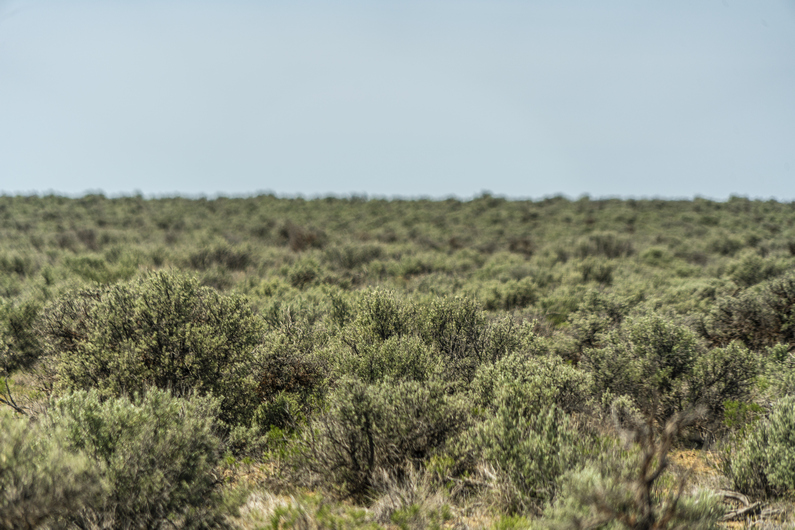
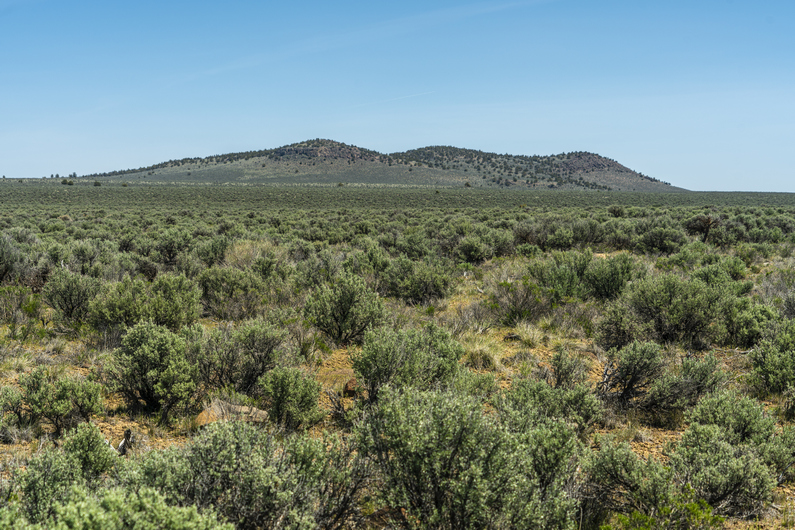
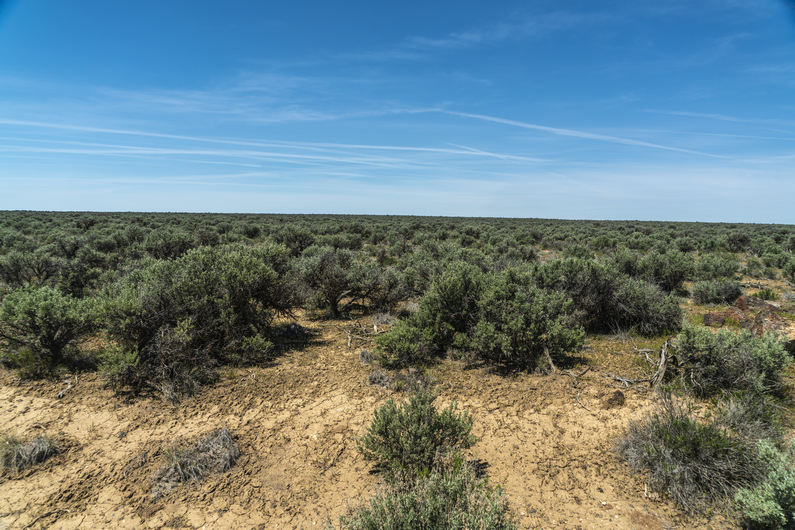
Hiking out of Xmas ValleyLarge flatlands of sage this morningHiking with DonnyMore interesting desert terrainImpressive mountains on the horizonBig viewsONDA water cacheCamp night 9
Donny and I were not in a hurry to get moving early in these cold temps, although today will rapidly warm up. We headed over to the fast break Chevron station for breakfast, and started hiking around 9:30.
We ran into another ODT hiker on the walk out of town. His name was “pine needle”. An older gentleman, currently driving around some of the towns, caching and such.
We followed a trail of over 200 shooter bottles of Fireball to a house along this road on the walk out of town. Truly incredible to see such an obvious trail of garbage lead to one house, but there you have it. Life’s hard on the streets of Christmas Valley.
After a few miles of pavement, we reached a dirt road and entered an area called the Black Hills. They didn’t look black, but they were hills.
The temperature is warming up now and it was quite pleasant, as long as we were moving. We gained a little bit of elevation and had an elevated view over Christmas Valley. Look at all those Santa worshipers down there!
We hiked a series of dirt roads to St Peter’s Lake, which was dry. The view started opening up from here, and we could see snow capped peaks In the distance, growing ever closer.
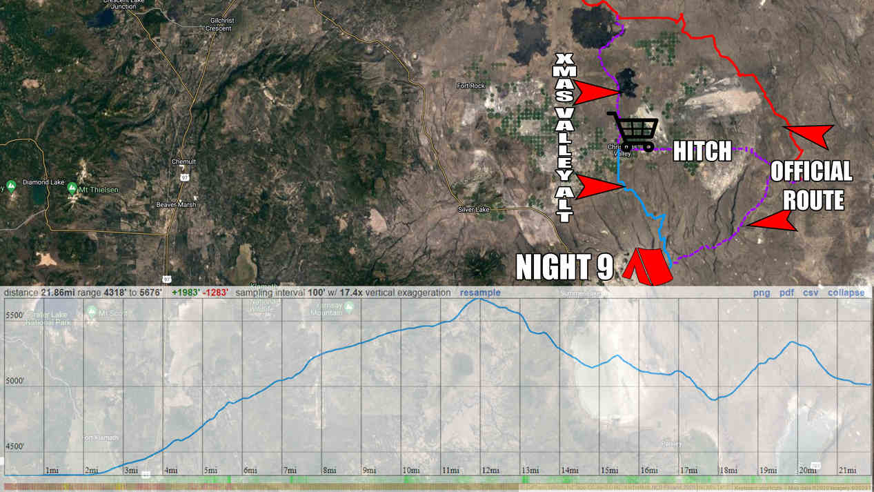
We hiked a series of dirt roads, taking a different route than what is suggested by the ODT. Our route looks more direct and eliminates a cross country segment, in an area that didn’t look all that scenic anyway from the map. We stopped for a break under some power lines, then continued down the valley.
We passed a guzzler, first I’ve seen in Oregon. There was water here, and it looked fairly decent. However, we didn’t need it.
A few miles later, we reached an ODT water cache, first of two this section. There were 29 gallons of water here in two coolers. We filled up water, ate dinner and moved on. Future ODT hikers, remember to pack out your water bottles from the cache, don’t leave the empties there.
Next we entered the Diablo Mountains Wilderness study area. The scenery was improving a little, and it felt like we were starting to get somewhere now.
We found a place to camp along a 4×4 road around 7:30. Not a bad spot.
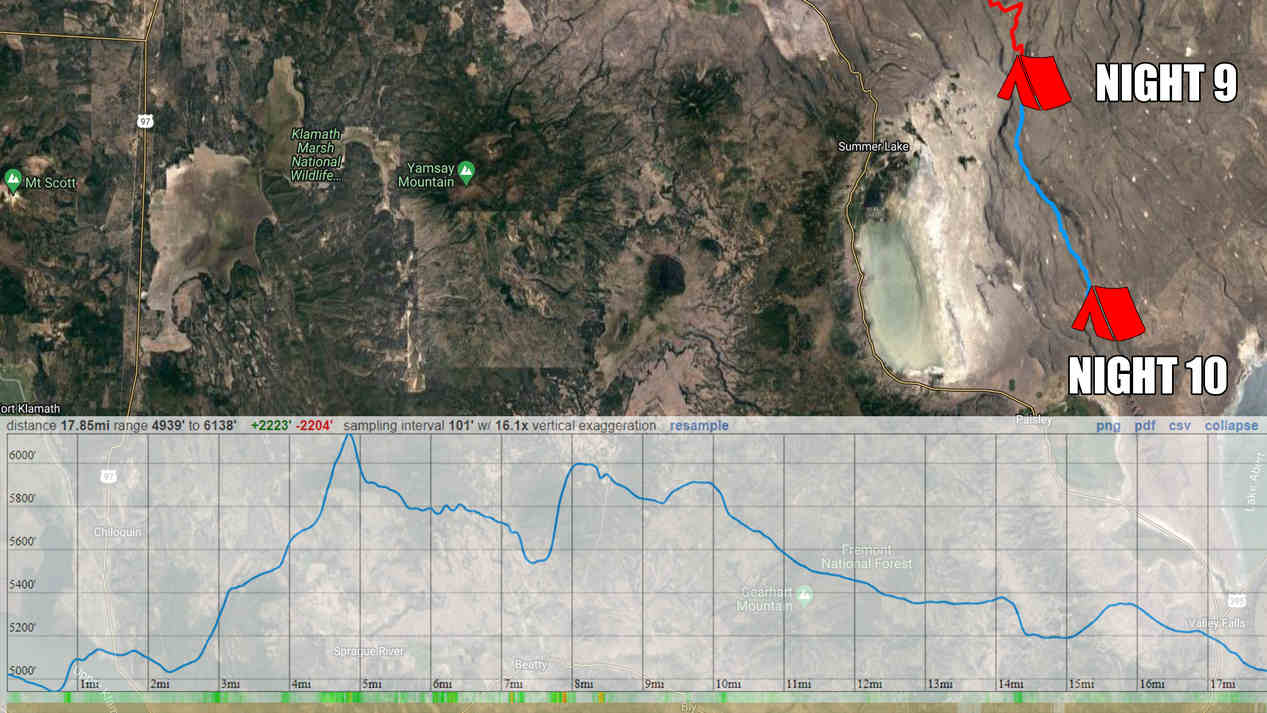
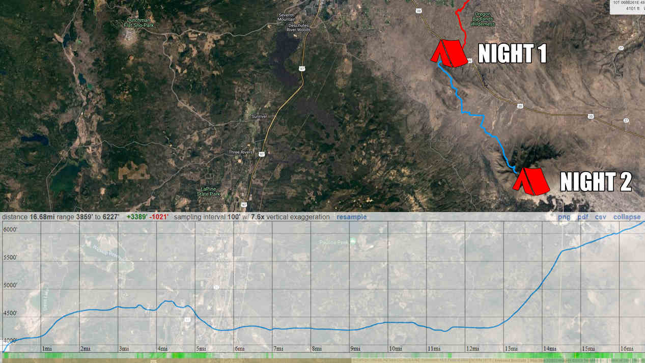
ODT Day 9 Map
Day 10: Diablo Rim Ridgewalk
May 21st
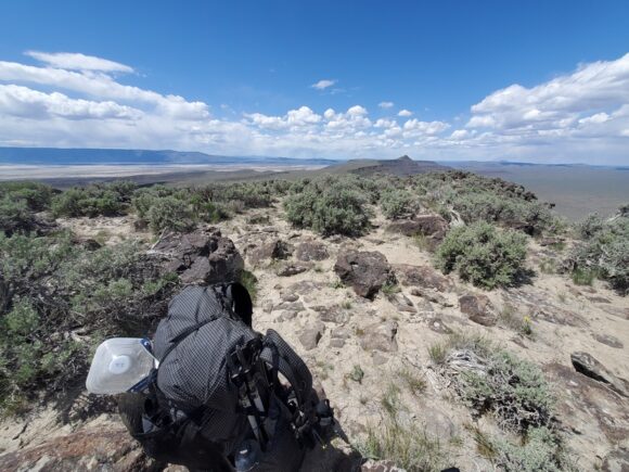
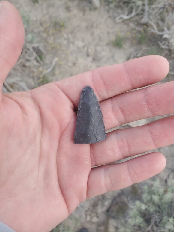
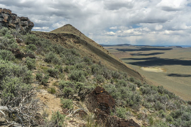
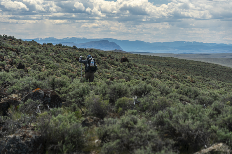
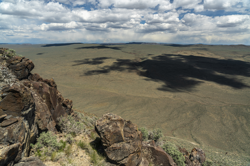
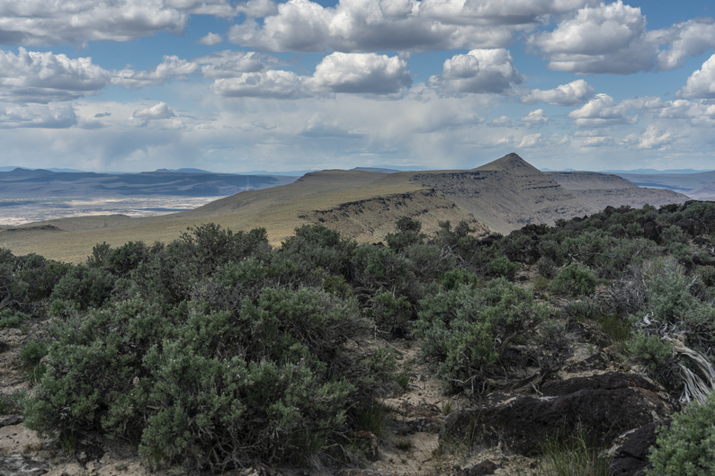
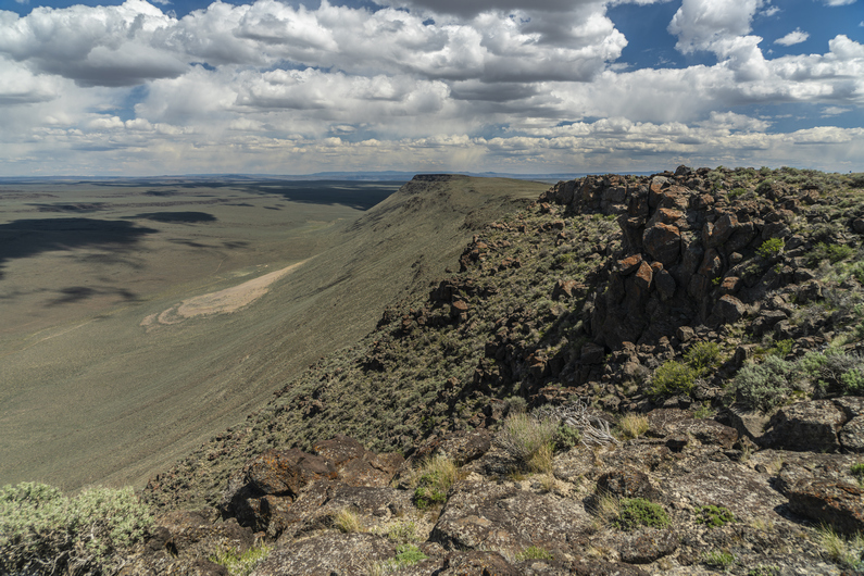
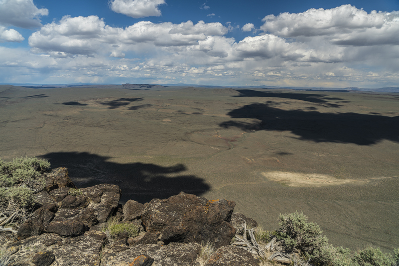
We hike to the crest of Diablo Rim this morningExcellent views as we climb higherDonny poses above of Summer Lake, a massive dried lake bedDiablo Rim ridgelineDiablo Peak viewAnother view from Diablo PeakDiablo Peak viewsExcellent view from Diablo PeakThis is more of my kind of landscapeMy pack (Zpacks Arc Haul)I found arrowheads and knife-like tools in the areaNow we hike the ridgelineMassive views from Diablo RimCross country hiking through sage brushRidgeline viewsAwesome ridge walkingThe distant horizon shows a different, more mountainous landscape aheadRidgewalking at it’s finestFollowing the ridge up againLooking north, where we’ve hiked from this afternoonWild/feral horse watches us from the ridge aboveCurious, but cautious horsesHiking a dried lake bedCows guarding our water cacheViews from camp, as the cows move on
Slept warmer last night with my new sleeping bag liner. I was surprised it added as much warmth as it added. Still, I’d rather just have a quilt that keeps me warm on its own. Next time I’ll bring a warmer quilt.
Donny and I started walking around 8:30 this morning. We had camped at the base of the climb up to Diablo Rim, and now we have an 1100ft climb over the next few miles. Most of today will be cross county.
We gained a smaller ridgeline, which we hiked for a while as we approached Diablo Peak. Then it’s another climb to a higher ridgeline. The climb isn’t too steep or difficult here.
We gain the ridge and the views are getting good. Diablo Peak is ahead, and we pick a path to the top. The climb is short, but there are multiple false summits along the way. We reach the summit of Diablo Peak, high point of Diablo Rim, at 6147ft. Wow!! Awesome views over the Diablo Mountains Wilderness study area and Summer Lake, which is mostly dry. Outstanding.
We stopped here for lunch and soaked in the scenery. This view was time lapse worthy, with the billowing clouds all around. It looked like rain all around on the horizon, but clear above us. Perfect.
Next, we begin the descent down Diablo rim as the scenery continue to impress. This reminded me a lot of Central Nevada, my hike on the basin and range trail in 2020. Walking a ridge line overlooking a massive basin, and dried lake beds. Best views along the Oregon Desert Trail, thus far.
As far as cross country hiking goes, I found this walk to be fairly easy going. Sure, there were some rocks to step over, but there was no soft sand like the valleys below, and the sagebrush was generally not as thick.
I really enjoyed the hike along Diablo Rim. I felt like we were getting somewhere now. There were some snow capped peaks and ridges in the distance multiple directions.
Soon It was time to drop down off Diablo Rim. After doing so, I found an arrowhead made of a dull looking obsidian. Cool.
Next we joined an old 4×4 road. We’re still in Diablo Mountains Wilderness study area, where there’s no motorized traffic allowed. So these roads here are decades old, and nature is reclaiming them. It’s 6+ miles to the next water cache now.
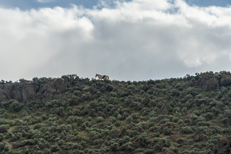
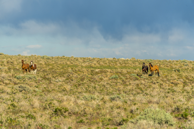
In the distance we saw some animals, which we thought were cows at first. As we got closer, we could tell they were wild/feral horses. At first we saw one, then a few more, and eventually, we realized the herd totaled about 20. The alpha headed up to the top of the ridgeline, while the rest of the herd ran off through the sagebrush. These were the first horses we’ve seen on the ODT, and I have a feeling we’ll see many more.
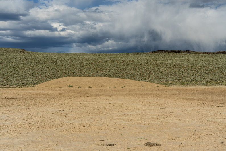
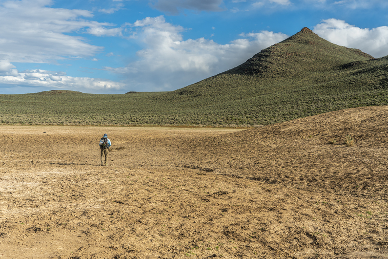
Next, we passed a few water holes, which were man-made. They look like dry lake beds now, But there was water here. Ah, that’s what sustains all of these horses.
As we continued hiking, we saw a few more horses. Then we saw a few cows. Over the next hill, We got our first view of giant water hole. There were a ton of cows here, and they began to flee as we approached.
Our water cache is here, near the water hole. We found two coolers filled with 20+ gallons of water. I have 2.5L now, enough to get me into town tomorrow, another 14 miles.
We set up camp near the water cache. It was rather windy tonight and really, nowhere to get out of the wind. Hopefully it dies down soon.
ODT Day 10 Map
Day 11: Resupply in Paisley & Summer Lake
May 22nd
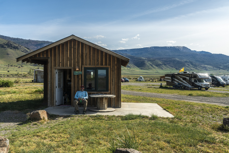
Leaving Diablo Rim behindAwesome backdrop to the hike into Paisley. We’ll be hiking those mountains in the next sectionCabin at Summer Lake Hot SpringsSummer Lake Hot Springs
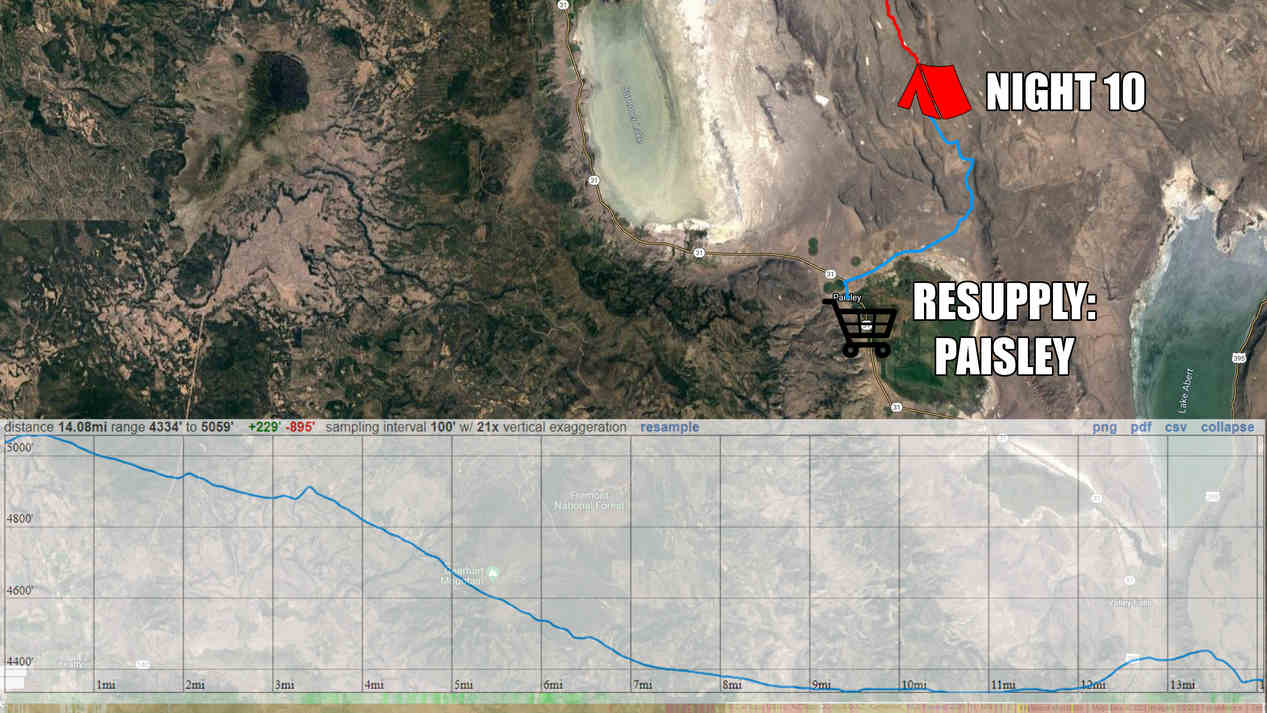
Started hiking at 7:30 this morning. It’s about 14 miles to Paisley, so we’ll reach town mid-day for resupply.
We hiked rocky old 4×4 road for a few miles, which led to a larger dirt road. Now we can really cover some miles. I found my first agate of the hike here along the road, but it was nothing special.
After exiting sand hollow canyon, we emerged into an open valley and the town of Paisley can be seen in the distance now. A rancher was driving out of the canyon and stopped to see if we needed a ride. I said no, we’ll be fine road walking the last 8 miles or so.
We reached town around noon, and stopped at the Sagerooms Motel. There was no office, we had to call a number on the door. No answer, left message. Time to eat lunch at the Pioneer Saloon while we wait.
The waitress told us the owner of the motel also owns the summer lake hot springs resort, about 6 miles away, and gave us their number. I got ahold of the owner and he informed us the motel was booked, but he could pick us up and take us to the Hot Springs Resort. Sweet.
We did our grocery shopping at the Paisley mercantile, ordered a pizza to go from the saloon for dinner, and the timing worked out perfectly; Duane (hot springs resort owner) picked us up just as we finished. We really lucked out, as the resort is booked into July, and typically requires a 2 night minimum. However, they had a last minute cancellation, and he was ok with letting us stay for one night.
After getting settled in at the cabin, we took a soak in the hot springs. There’s an indoor soaking pool, and a couple of outdoor pools. The water was nice, and it was a relaxing way to end our last section of hiking.
We met a girl named Melanie at the indoor pool, and she invited us over to her campsite (the hot springs resort also has rv and tent sites) later for a fire. However, she came by just before dark and said she was tired and going to bed. That’s how we felt, having covered about 14 miles today by noon. On the bright side, she offered to take us back to Paisley tomorrow morning, so we can continue our hike. Nice, one less thing to worry about in the morning.
I hiked the ODT eastbound in the spring of 2022. I completed the 739-mile hike in 43 days, which include 7 zero days. I started the ODT on May 12th at the Tumulus Trailhead and finished on June 23rd at Lake Owyhee.
This is my trail journal, with photos, from my ODT thru hike. Visit Oregon Desert Trail Thru Hike Guide & Tips for an overview of the ODT, and more about the logistics of hiking this route.
Day 0: Travel Day
May 11th
I was up late last night packing, and had to get up at 3am for my flight this morning. The ride to the airport was a white knuckle drive, dodging hundreds of deer alongside the road.
I flew from Traverse City to Chicago, had a 3-hour layover, flew to Phoenix and had a 5-hour layover there, and then flew to Redmond, Oregon. I met up with another ODT hiker named Kai at the airport, we’ll be starting this hike together. We got an Uber to our hotel in Bend, about 20 minutes away.
Checked in to a hotel around 8:30pm, or 11:30pm EST, where I came from. Long day on 3 hours of sleep, so I passed out early. Tomorrow, we hike!
Day 1: Oregon Badlands Wilderness
May 12th
Tumulus Trailhead, western terminus of the ODTRainbows rainbowingTumulus TrailheadOregon Badlands WildernessOregon Badlands WildernessOregon Badlands WildernessLooking towards Horse RidgeHorse ridge
Woke up at 7:00 a.m., went to the grocery store, and packed up. Hit the post office to mail out a few things back home, then an Uber ride to the Tumulus Trailhead, the western terminus of the Oregon Desert Trail.
The ODT starts in the Oregon Badlands Wilderness. The Western Terminus is pretty underwhelming; mostly flat with small rolling hills that obstruct any possibility of a view, sagebrush, juniper trees and deep sand.
It’s been an unseasonably cold and wet spring In the Pacific Northwest, and we were feeling it today. The temperatures will be in the 50s For the next few days, overcast, windy with rain and the possibility of even some snow. The overnight low will be In the upper 20s tonight. This is why It’s not recommended to start The Oregon Desert Trail much earlier than mid-May.
Without much to see, first few miles went by pretty quick. I was expecting the Oregon Badlands Wilderness to be more like, well, Badlands. I guess the term has a different meaning here. This area was covered by an old lava flow, with outcrops of basalt all along the route. There were a few small “caves” along the way, but nothing very extensive.
We reached our first water cache about 10 miles in. Another ODT hiker Who started a few days before us had placed some water caches, and asked on the ODT Facebook group if anyone else needed water at these locations. Sure, won’t pass up the offer, especially since we didn’t plan on doing any caching of our own, without a car. The first 160 miles or so are very dry, and caching is pretty necessary to avoid huge water carries. From here, it’s another 20 miles to another water cache, so this really helps.
After topping off our water, we crossed the highway began hiking off-trail towards Horse Ridge. It was sprinkling again, as it had been on and off throughout the day. Kai’s pace was really slowing, his backpack giving him some issues. Mine felt great, so I offered to take 10 pounds off his back. This helped his shoulders a bit, but we were still moving pretty slow. He overpacked like crazy for this hike. I’m guessing he will be mailing some things back home after this first section. We didn’t start until noon today, So I wasn’t expecting much out of a half day. But the terrain was so easy, I was expecting more than 11-12 miles out of 7 hours of hiking.
We reached camp around 7pm. Not a great spot, just trying to get out of the wind. There was a lot of deep sand so I had to find heavy rocks to weigh down my tent stakes.
It’s good to have day 1 in the books. Tomorrow will feel like a thru hike, instead of that awkward feeling on day 1, where it’s just a shock to be out there. Day 1 is just a weird, awkward adjustment period for me.
ODT Day 1 Map
Day 2: Pine Mountain Observatory
May 13th
Looking west to the Cascade MountainsKai making his milesLooking towards Pine MountainMillican Valley from the climb up Pine MountainFirst pine trees of the ODT
Woke up at 6:45, surprised to see the sun shining on my tent. Some sprinkles last night but nothing major. I was ready to go by 7:45, but Kai didn’t get packed until 8:45. He had a lot more gear to pack than I did!
We start today with a 600-ft climb. It’s mostly soft, deep sand, too. We Emerge to a flat plain, then had up a valley along Horse Ridge. It’s another 800ft climb from here. Behind us is the snow-capped peaks on the eastern edge of the Cascades. Very impressive.
We climb over Horse Ridge and down into Millican Valley. After a short break, we pass through our first herd of cows and hike towards a lonely dirt road cutting across the valley.
On the other side of the road, we begin our approach to Pine Mountain. Our pace is painfully slow now. Kai is having some trouble with his pack, hurting his hips and shoulders. I’m having a hard time walking half my pace, walking 2 minutes and waiting two minutes. So, I decide to go ahead and we’ll meet at the water cache at the top of Pine Mountain Observatory. I took about 8 pounds off his back to help lighten his load and make things easier on him.
It felt good to hike at my normal pace again, and I made quick work of the approach to Pine Mountain. Then, it’s a 2000ft climb to the top. The climb was steep and quickly wore me out. The second half of the climb was tough. Near the top, I entered a pine forest, first along the ODT.
When I reached the ridge line, the terrain flattened out. Finally. Now I could just walk again. Still 2.5 miles to go.
I reached the pine mountain observatory around 6pm, and retrieved my water cache, left by another ODT hiker who started a week ago. There’s a free campground here too, so this is the obvious spot to camp tonight.
I set up my tent and beat the rain, jumped in my sleeping bag and got warm again. However, I got a text from Kai saying he’s had a bit of a tragedy back home, on top of the pack issues he’s been having. His feet are killing him and he’s barely crawling along. He says it’s unlikely make it before dark. Crap. I have his headlamp, along the things he gave me to lighten his pack. Reluctantly, I offered to hike back down to him and take his pack, slackpack him to the top. So that’s what I did. Got dressed again and headed back out.
Kai was about 100ft from the top of the big climb when I reached him. He was barely moving. I took his pack and we knocked out the last of the climb, emerging onto a more gentle road. We hiked on into the darkness, reaching camp around 9:15pm.
I hadn’t eaten since about 2pm, but wasn’t hungry at all. I should be. Drank one sip of water and just went to bed. The extra 5 miles to go back down to Kai put me somewhere around 23 miles on the day.
ODT Day 2 Map
Day 3: Hiking Solo, Again
May 14th
Excellent views from Pine MountainPine Mountain vistasKotzman BasinDescending Pine MountainNext up: hiking through Kotzman BasinViews from Kotzman BasinSand SpringVolcanic landformsRed roads of scoriaMany deer in the areaCamp night 3
It rained fairly hard overnight. And, it rained well into mid-morning. I’m always slow to get up when it’s raining. I don’t typically hike in wet climates, I’m more of a desert guy. Besides, I’m not concerned about covering big miles either on day 3. Having done minimal pre-hike training before coming out here, I had already planned on 20 miles per day max for this first section.
Kai made the difficult decision this morning get off trail this morning. There was a very small amount of traffic coming through the top of Pine Mountain, but instead of relying on a hitch, I set up a ride for him. I had been talking to Donny, who’s starting the ODT tomorrow, and will be up at Pine Mountain today to cache water. I sent him a message and asked if he could take Kai back to Bend after dropping off his water heater, and he said no problem.
Kai and I said our goodbyes, and I started walking at 11:45. A really late start, but the terrain ahead looks pretty easy and I’m still hoping to get 20 miles in today. Once again, I find myself In that familiar state; Alone.
The walk down off Pine Mountain was pretty nice, with some pretty massive views over Kotzman Basin and Beyond. On the way down, There were a few groups of people going up On dirt bikes, razors and 4×4 trucks.
Now I’m down on the flat valley floor, and the walking is very easy. The view back up to Pine Mountain was pretty nice from below. After walking through Kotzman Basin, I enter a bit of a forest on my way to Pumice Flat.
Next I hike past an electrical substation, and then reach Sand Spring. I have this one marked as reliable. Sure enough, there’s some water here. But it’s a typical desert water source… Not the greatest. It had a yellow tint to it, even after filtering it. I took 5L to my next water source, 32 miles away.
The route ahead really reminded me of New Mexico on the CDT. Volcanic rock and road walks, with a mixture of Forest and Desert Scrubland. The only real difference is the Sagebrush here an Oregon. This gave me deja vu all day long.
Now, the route passes by a bunch of volcanic buttes. Red scoria rock is everywhere, and the red rocks make for attractive backroads as they contrast against the sagebrush that surrounds them. Scoria Is pretty much the same as pumice but darker. There’s lots of pumice around, too.
South of Plot Butte, I came across a couple of troughs filled with water. One of these was not on the map, nor was it indicated by a waypoint on the ODT water sources. The water was pretty murky though, and probably not any better than what I filtered from Sand Spring.
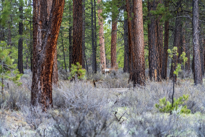
I saw my first deer of the trip as I hiked through Watkins Flat. It was early evening now and I wanted to at least reach Quarter Butte, an hours’ walk away. I saw two more deer near Quarter Butte, but I didn’t see any campsites here. Another 10 minutes down the road and I found a spot that will work. Nothing special, but some good tree cover.
I hiked 20-21 miles today, not bad for 7.5 hours including breaks. My feet are a little sore, but I’m feeling good about my pace thus far. Before coming out here, I really wasn’t sure what to expect with the ODT in terms of miles per day. This is the first long route I’ve done since the CDT that was an existing route, not one that I created from scratch. I’m used to bushwhacking, climbing up and down pour-offs and doing a lot of scrambling. I know the ODT is supposed to be 1/3 off trail, but I highly doubt it will compare to the routes I am used to doing. I was shooting for 20 mile days out here on the ODT, but once I get my trail legs, I feel like 25 mile days may be more realistic, even with the off trail miles. But we’ll see.
ODT Day 3 Map
Day 4: Volcanic Plains of Squaw Ridge Lava Bed WSA
May 15th
Vast volcanic plainsSquaw Ridge Lava BedSquaw Ridge Lava BedSquaw Ridge Lava BedChristmas Valley in the distance. The official ODT route takes a long route around town7-8 miles of xc hiking across thisPeters Creek CanyonPeters Creek CanyonSunset view from camp
I took my time getting up today. I usually like to start the first section of a long hike with lower mile days, best to avoid injury. So really, I’m not looking to do more than 20 miles a day yet. And I was able to do that from noon on yesterday, So I don’t feel the pressure to get moving at the crack of dawn. A lazy morning like this is a bit of a luxury. I don’t remember many of them in the past on trail.
I started walking around 9:45. More of the same to start the day; Pine forest and sagebrush. It’s much warmer today, it’ll be in the mid ’70s. That’s 20° warmer than day 1. It was actually sunny too, and I was in a pretty good mood as a result. Funny how that works.
The route emerges from the forest and into an expanse of flat sagebrush plains with some occasional hills lining the horizon. What a wild, empty place! However, it really wasn’t all that scenic or interesting. So far, it’s just been a lot of road walks… some nice, some a little dull.
Eventually, it’s time to head off trail towards the Squaw Ridge Lava Bed Wilderness. It was maybe a mile and a half of walking through scattered Sage and Juniper. Again, not all that interesting. I did find lot of obsidian in this area though.
I reached the lava beds, and it was a little less interesting than I was hoping for. Granted, I was following the ODT route around the lava beds, instead of through it. To traverse the lava beds would surely be more difficult, but I’m confident it would be slightly more interesting. There should be some caves and potentially even lava tubes, but one must be committed to hike through this type of landscape.
There’s a dirt road that circles the perimeter of the lava bed, and that’s what I followed, as per the ODT official route. This led me to a fence line, which I followed around a private ranch.
Next, It’s a 7 mile cross-country trek across a huge expanse of sagebrush and Juniper trees, through deep sand. It looks pretty horrible from the get-go. In fact, only a few yards in, I begin to question if the route even goes through this area. But it’s just a matter of trudging through the sand for a few hours, with little distant views or much of interest along the way. Sigh.
The 7 miles was probably at least 8 After weaving in and out of the sagebrush. Near the end of the XC segment is a small gorge with Peters Creek running through it. The creek is dry, but the gorge is fairly interesting, for the 3 minutes it takes to traverse it.
After a few grueling hours, I reached a dirt road. My salvation. After bitching about the road walks earlier, I have a new appreciation for them. I’m thankful to have this one after all that terrible, deep sand.
I followed the road for about a mile and a half before reaching peters creek campground. There are water spigots here, and I wasted no time chugging the first bottle I filled. With 30 miles to go before I reach Christmas Valley for resupply, I filled all six of my bottles. This is the last water for the section (or so I thought). I also took the opportunity to wash up a bit, which felt amazing.
I left the campground and continued hiking, hoping to get another mile in or so dark. The dirt road I was following didn’t offer much for campsites, with the only clearings alongside the road occupied by ant hills. Finally, I found a spot next to a juniper tree alongside the road. With nearly 24 miles on the day, I’m pretty whooped and not all that picky. This was more miles than I wanted to do on my first section, but sometimes it works out that way.
ODT Day 4 Map
Day 5: Lost Forest Sand Dunes
May 16th
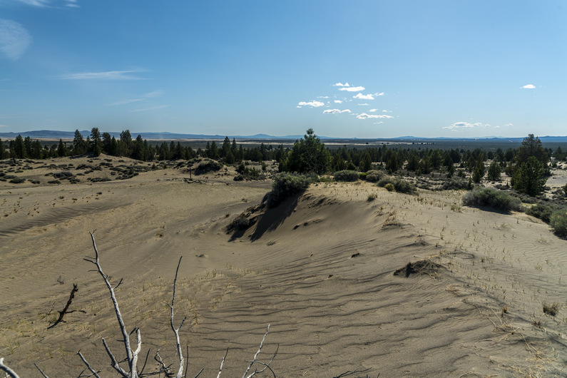
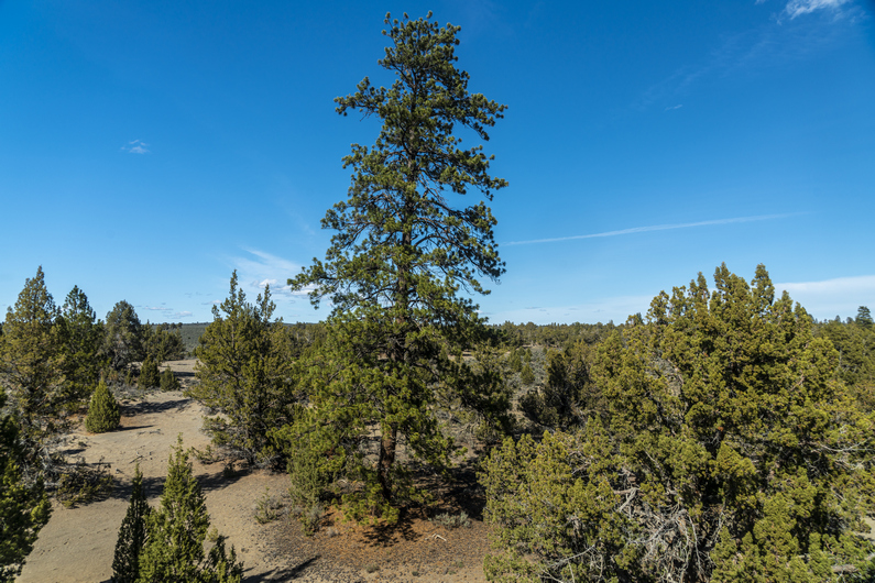
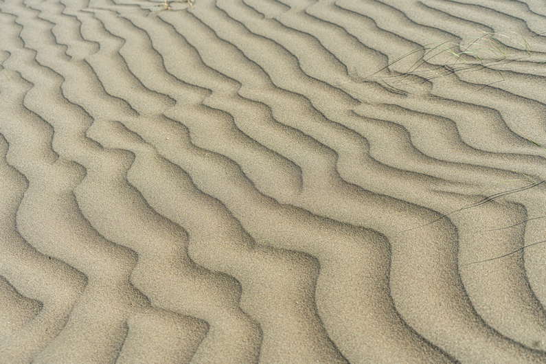
Small “cave”Lost Forest and the sand dunes aheadWide open landscapeAt the base of the sand dunesView from the top of the sand dunesBig ponderosa pines!Hiking the sand dunesSand dune texturesSand Rock. Nice generic name, huh?Hiking up Sand RockLooking out over the Lost ForestSand Rock ridgelineView from Sand RockMore xc hiking through sageLooking for camp soon
I opened my tent to a sea of sagebrush, pretty bland. The sky was overcast today as well, which somehow makes the landscape look even more plain.
Alright, back to walking this dirt road. I normally take more pictures, but there just wasn’t anything worth turning the camera on for. I walked a series of dirt roads for 2 hours, then I took a break. From here, I could see sand dunes in the distance at the edge of the Lost Forest Research Natural Area. That is where I’m headed next.
I continued walking the dirt road to Mean Rock Well, as it’s marked on the map. There was water here in a trough, actually water in multiple troughs. Water clarity looked pretty good too. But with five liters on my back, I just don’t need it.
Moving on from the well, I followed a cow path along a fence line towards a small ridge. This little ridge was only 40 feet tall or so, but it ran for a few miles.
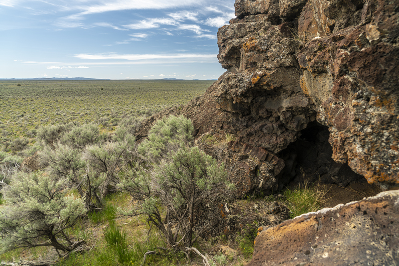
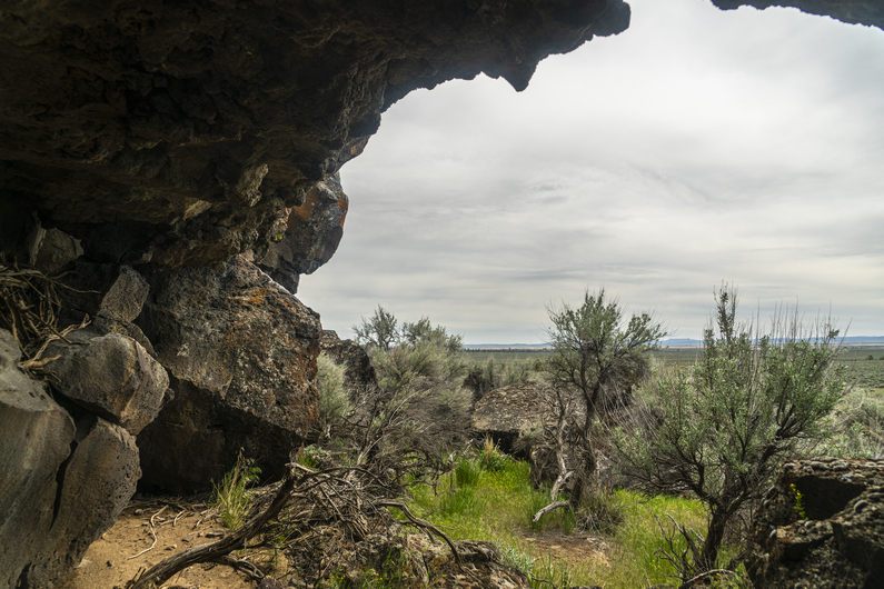
As I got closer, I could see what looked like small caves in the rock. So, I went in for a closer look. There were indeed a few small caves here, more like rock overhangs. Lots of animals nesting in here. There was room to have a fire, and there was a small hole in one side of the wall of the cave that would have been perfect to create airflow, preventing smoke from billowing up inside. But I won’t be camping here, I’m just admiring the potential.
Next I entered the Lost Forest Research Natural Area. Here, there’s a stand of ancient ponderosa pines separated from the nearest contiguous forest by about 40 miles of arid desert. The forest covers about 9,000 acres, and has sand dunes on the outer edge. So that’s pretty interesting, it’s like an island of trees.
As I entered the forest, I could see a large sand dune in the distance. I decided to climb up to the top and check it out. Tough to climb in the deep sand, and my shoes filled up almost instantly. I’m glad I did, it was probably the most interesting thing I did all day. Pretty unique, really. The dunes weren’t tall, but it provided me a view of the lost forest as well as christmas valley.
Next I walked through Lost Forest. There is an old dirt road that runs through here. There weren’t many trees along the road, they were set a ways back from it. In the early 1900s, this region saw a boom in homesteaders. They came here to the Lost Forest forward to build their homes as well as heat them. My guess is, they did their logging alongside the road and didn’t venture any farther into the forest than needed. By the 1920s and 30s, an extended drought forced many to abandon their homesteads. This may have saved the forest from complete depletion.
It’s been said that only 1% of the lost forest is covered by juniper trees, the rest being ponderosa pines. However, the juniper trees that do grow here are big. In fact, the largest western juniper tree in the state of Oregon can be found here, measured at 68 ft tall.
Next I headed cross country towards Sand Rock, a prominent outcrop in an otherwise flat expanse of forest. It’s pretty rugged up close. I climbed up to the top to get a view. While not very tall, Sand Rock still towers above all else around and provides an expansive vista over the surrounding landscape.
After hiking around sand rock, it was time for a 1.5 mi cross country trek. This one didn’t look too appealing, with a lot of thick sage ahead. Deep sand, too. I had to empty out my shoes again at the end of it, as I’ve done multiple times already today. I’ve done a lot of desert hiking, and deep sand is typically just in the washes or perhaps the lowest parts of a valley. So far, it just seems like it’s everywhere in here in the Oregon Desert.
Unfortunately on this hike, I’ve been plagued by a wicked case of ass chafing. This is something I occasionally get at the beginning of a hike. Sweaty butt cheeks running together and getting rubbed raw. It’s horrible! This is the kind of stuff they don’t tell you about hiking. Typically though, this goes away after the first section. I just need a zero day in town and I’ll be good to go.
I followed a dirt road for another hour before finding camp. Nothing special, just a clear, flat spot alongside the road. I really felt like I was on the CDT in the Great Divide Basin in Wyoming here. Deja vu, indeed. The sun dipped below a nearby Ridge, and the coyotes began to howl. Another day in the books.
ODT Day 5 Map
Day 6: Resupply in Christmas Valley
May 17th
View from camp this morningSome cool looking terrain, way off in the distanceThis is what I’m working with this morningHIgh point/best view of the dayNothing but sage…Final miles to the highway, where I’ll need to hitch 20 miles to Xmas Valley
I was feeling good this morning, knowing I’ll reach Christmas Valley this afternoon for my first resupply. Hit the trail (ok, dirt road) and started working on the 9 miles I thought I had left. I had planned to walk a series of dirt roads to the highway, to avoid some rater uninteresting looking cross country hiking. However, I’d soon learn this plan is fraught with holes.
I reached a spot on my map where there was supposed to be a road junction, but nature had reclaimed the old road, if it ever existed. I couldn’t see it at all. That sucks, this would have been my most direct route to the highway. I’m not going to needlessly bushwhack all the sagebrush here for 9 miles, so I stayed on the dirt road to the top of a ridgeline.
This road faded too, and now I was hiking cross-country. I had a bit of a distant view from this small ridge, then dropped down into the valley on the other side. I couldn’t believe how many roads on the map don’t exist on the ground here. Then, I followed a very faint dirt road for several miles. Not scenic or interesting, at all.
This morning turned into a struggle to stay motivated. Well to be honest, large chunks of the scenery in this first section to Xmas Valley has been rather dull. But this was no surprise to me, as I’ve heard this about the first 100+ miles from previous ODT hikers. Specifically, I watched Arno’s ODT video series on youtube before my hike, and he was ready to quit by the time he got to Xmas Valley. But in the end, he stuck with it, and was glad he did. And I will do the same.
Eventually, I reached a larger dirt road, an actual road that can be driven. Followed this to another road, then walked this a few miles to the main highway.
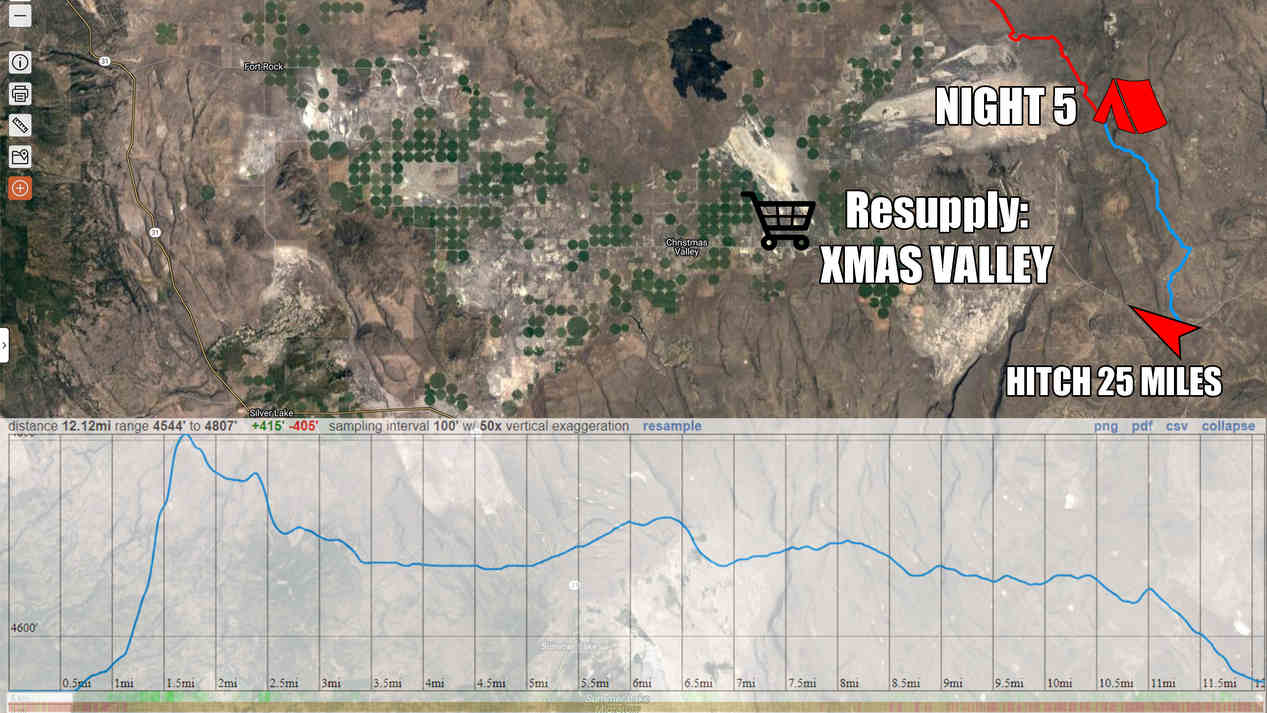
There was very little traffic along Christmas Valley Rd, and what little traffic there was here had no interest in stopping for me as I tried to Hitch about 25 miles into Christmas Valley. Eventually, after about 2 hours, I got my ride from a local rancher, and I hopped into the bed of his pickup.
We drove a mile down the road and saw another hiker just as he reached the hwy. My ride asked if we should turn around and pick him up too. Of course! So we did, and he had already continued walking on the other side of the hwy, making no attempt to Hitch. Hmm. His name was Horsepower, and he said he was not stopping at Xmas valley as he still had too much food from the beginning. I didn’t know anyone skipped xmas valley, but if anyone could/ would, it sounds like it would be him. The name sounded familiar; Horsepower had hike a Calendar year triple crown last year, which is the AT, PCT and CDT all in one year. What a beast. Alright, carry on then!
Got into Christmas Valley and ate lunch at the Fast Break Chevron station. Got a room at the desert inn and entered relax mode. Yeah, I was ready for this.
ODT Day 6 Map
Day 7: Zero Day in Christmas Valley
May 18th
Caught up on town chores, a few small gear repairs etc.
I have been freezing my ass off so far at night inn my Hammock Gear Burrow 40 quilt, the old version with the horizontal baffles. The down migrates to the side, leaving no insulation on top of me. Some cold nights ahead, including a 20 degree overnight low. I need to figure something out to stay warmer.
I’ve never used one, but I was thinking of picking up a sleeping bag liner to add a few extra degrees of warmth. Of course, There’s nowhere to buy anything like that in town. The ODT guidebook mentioned a community bus That runs between Christmas Valley and Bend, So I called and made an appointment for a ride tomorrow. I’ll buy one at REI.
Also, by taking another zero day tomorrow, this will allow another ODT hiker named Donny to catch up with me. We can split a double room, and then hike out the next morning together. So this plan is starting to look very appealing.
Day 8: 2nd Zero in Christmas Valley
May 19th
Donny reached town in the morning, got a double room I moved all of my gear over. Shortly after, my bus ride was here to take me to Bend. Great timing.
It was almost a 2-hour bus ride Bend. I was able to buy a sleeping bag liner from REI, is well as exchange a pair of darn tough socks. Score. Additionally, I was able to stop at Safeway grocery store a bunch of food items that aren’t available in Christmas Valley. Double score.
It was snowing when I got back to Christmas Valley last afternoon. it was still really windy, and very cold. Just 20 degrees tonight, and so another night in the hotel didn’t sound too bad.
Congrats to Derek “Bear Magnet” Bowling for becoming the second person to hike the Mojave-Sonoran Trail! In January & February 2023, Bear Magnet hiked his own 360-mile version of the 625-mile MST, from Valley of Fire down to Lake Havasu, and then north back up to Laughlin, NV. While the MST still awaits it’s second finisher of the route’s entirety, this represents the largest chunk of the route that’s been hiked since I hiked it in 2021. Most importantly, this means more beta for YOU, the next Mojave-Sonoran Trail thru hiker!
Blue is the suggested MST route, Red is Bear Magnet’s route
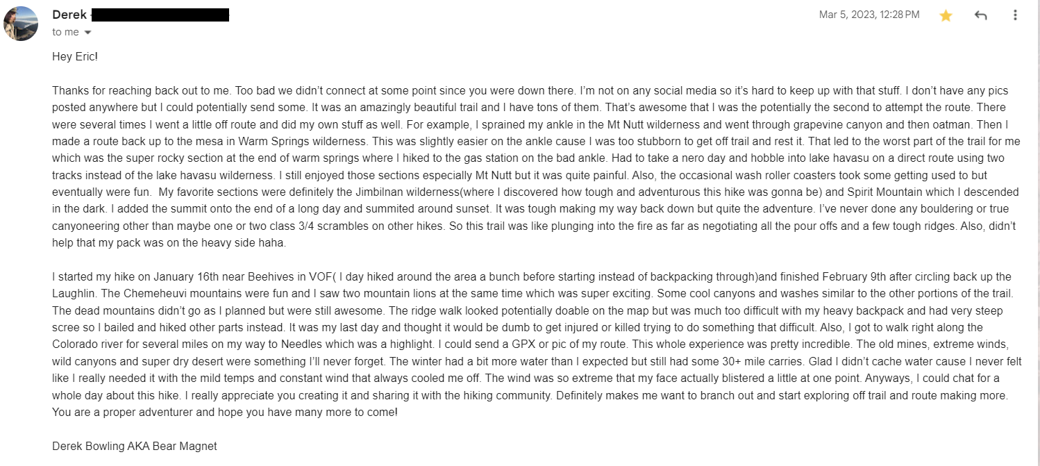
Naturally, the more hikers who take on the Mojave-Sonoran Trail, the more refined this route will become. Fortunately, Bear Magnet was willing to share his experience on the route, along with his GPX file for comparison. For those of you considering hiking the MRT, you may be interested in reading his impressions of the route, notes etc.
The simplest way to pass Bear Magnet’s notes on to you is to share screenshots of our correspondence. Click on the images below for a larger and more readable version of the images:
The comment that stands out to me the most is this one:
I’ve been Thru Hiking a ton over the last 4 and a half years(over 11k) but this was the first one that felt like a true adventure!
More than anything else, this is one thing that I HOPED to hear as feedback from those who have, and will hike, this route. That’s why I created the Mojave-Sonoran Trail; to satisfy that craving for adventure, that many trails just lack. The best way to do this is to go to remote and beautiful places that few hike, plan something ambitious, and give it a shot. And of course, this is one of the only real options for a winter thru hike, for those seeking warm weather.
I was glad to hear from Bear Magnet and hear his impressions of the route. I was interested to hear what his favorite sections were, to see how the overlap with my own. And I was especially interested in what his least favorite section was. It sounds like it was the Warm Springs Wilderness area, which was insanely rocky and rather monotonous between Black Mesa and Lake Havasu Wilderness. This was one of my least favorite sections, as well. Coupled with some recent scouting trips to the area (from my camper van), I’ve been working on some alternate ideas to improve this section.
The Mojave-Sonoran Trail has so much potential, but could certainly benefit from being hiked a few more times, and along some variant routes to seek improvements. It would also be helpful to hear from more hikers like Bear Magnet as they take on this route. I’ve got some great plans for this route, but together with your help, I think the Mojave-Sonoran Trail can be truly incredible!
Watch my Basin and Range Trail Movie on Amazon Prime
"His breathing is measured as he narrates his journey, describing the personal allure of the great outdoors, the difference between mere hobby and real passion. He discourses on his own mortality, about getting too old to have such adventures, and striking your own path in life while you still can." - John Glionna, Las Vegas Review-Journal article on the Basin and Range Trail
Watch Pioneering Nevada's Basin and Range Trail on other Streaming Services: Tubi, Xumo, Telus and Filmocracy
Like what you see? Patreon is a service that allows you to provide monthly financial support to your favorite content creators. For your monthly pledge, at various tier levels starting at $5, you receive perks and benefits in return. For example, early access to youtube videos, stickers, t-shirt, behind the scenes info on my new thru hiking route creations, special thank you card and more! Your monthly pledge helps me bring you more quality hiking and outdoor adventure videos, trail guides and content. Thanks for your support... you ROCK!😊
Archives
DIY Van Build
Check out my AWESOME DIY stealth camper van build project!