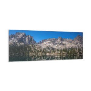
I have decided to hold off on posting CDT hike updates while on trail for the sake of time. It takes the better part of a whole day to update the blog with 2-3 posts, and I am spending more time than I should on a computer in town. I need this time to do chores (laundry, groceries, gear repair, etc), and have been taking extra days off in town just to complete my blog updates. Extra days in town means more money spent, and lessens my chances of making it to Canada in time before the weather turns.
I will still be keeping a detailed journal throughout the rest of the hike. When I return home in the fall, I’ll complete my blog updates for the remainder of the CDT. Thank you all for your support and understanding.
Continental Divide Trail – Salida to Twin Lakes Hike Overview
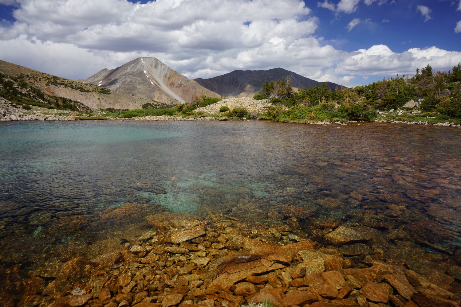
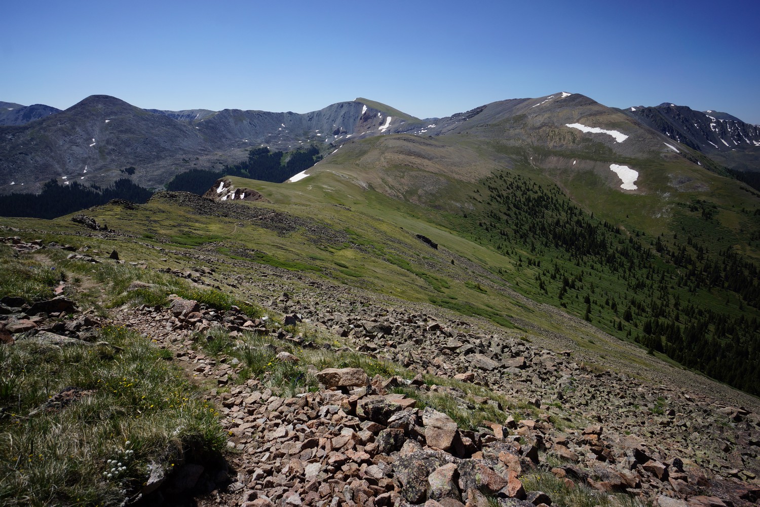
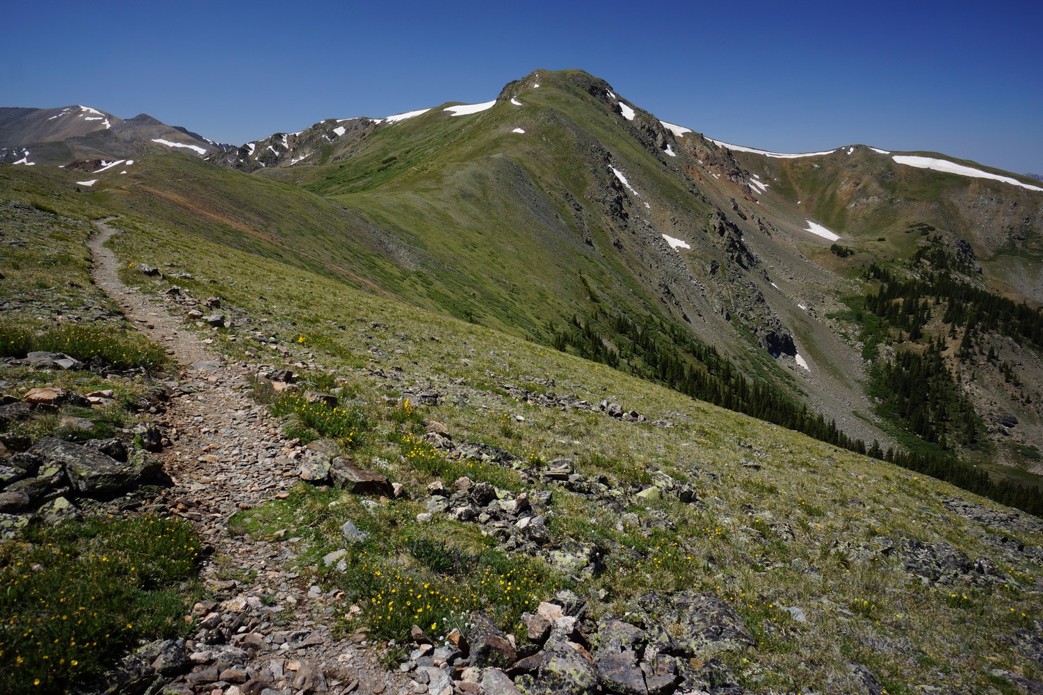
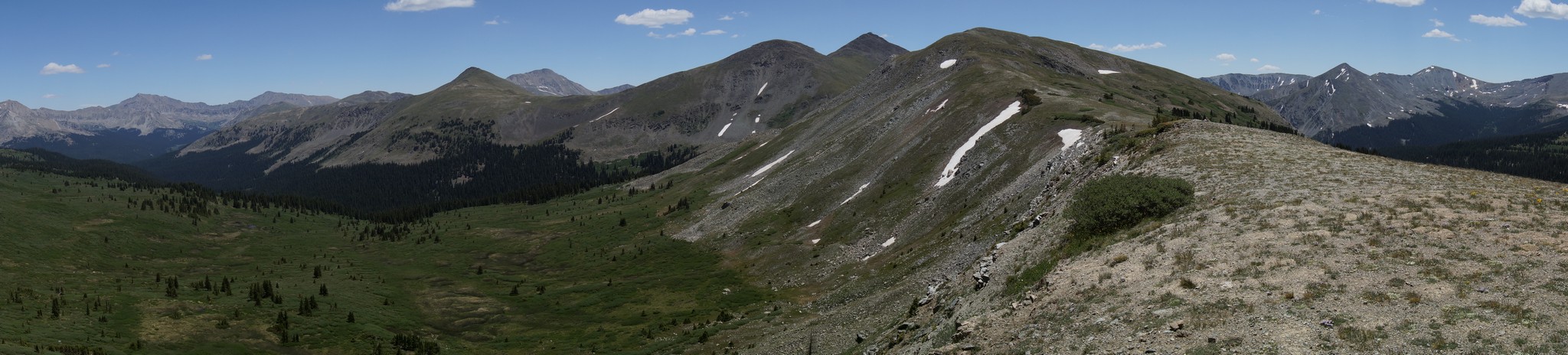
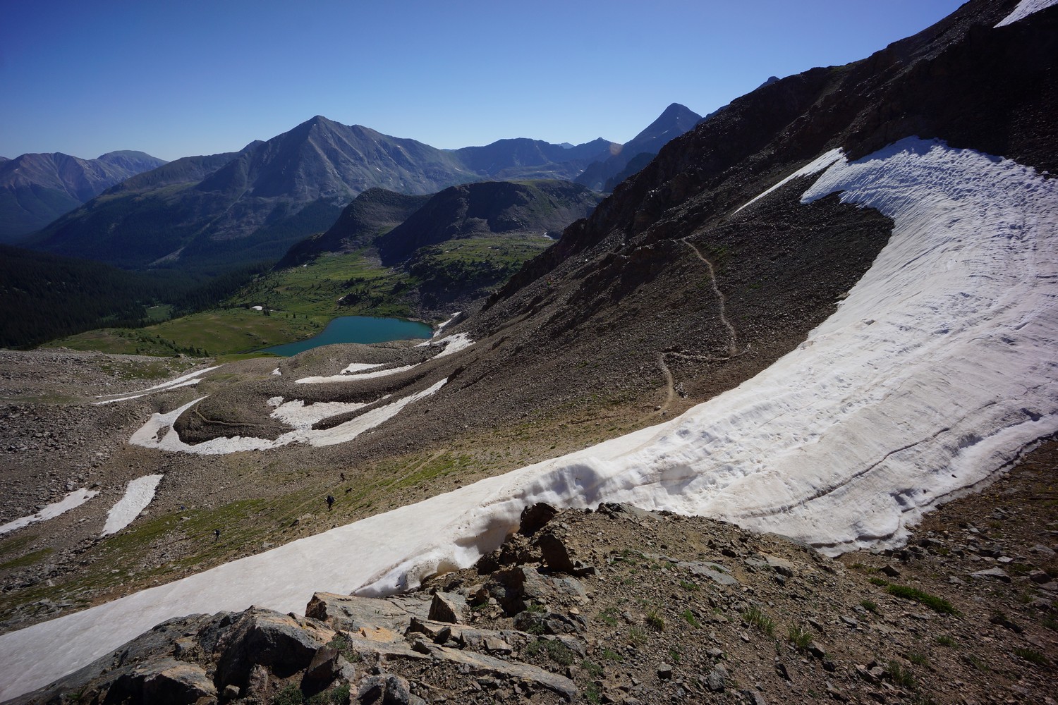
The hike from Salida to Twin Lakes was tough, but a good one. Lots of great views from numerous passes and high ridges. Lake Ann Pass was the highlight for me.
Sunday June 24th – CDT Day 65
Finished packing my food this morning before leaving the hostel around 9am. Last shower for at least 3 days, and if not at Twin Lakes, then a solid week. It’s about 150 miles to Breckenridge, but will resupply at the general store in twin lakes halfway at about 75 miles.
I grabbed breakfast at McDonald’s, a distant runner up choice to the Patio Pancake Place, which had a long wait. I was walking over to Chucks liquor store for a ride up to the pass when he drove by and picked me up. Off we go.
Reached monarch pass and started hiking at 10:45am. Not too bad a start.
The trail passes through monarch Mountain Ski Resort. Kind of cool to walk up under the ski lifts in the summer. I saw several people hiking in the area, all day hikers or weekenders it looked like.
It was really windy going up the exposed Ridge through the ski resort and beyond. Probably 50 to 60 mile an hour winds. I put my wind jacket on and the extra space inside the hood kept flapping in the wind. This was really loud and quite annoying! Wind gusts from the side make tripping over rocks common. Hiking in to the wind and climbing uphill was tough.
Really nice views all along the climb to the first pass. Being in these constant winds was wearing me out. After cresting the pass, I planned on stopping for first lunch as soon as I could descend low enough and out of the wind. What a relief.
Against my wishes, the trail drops down into a Valley at around 10,400′. This means a big climb is coming soon. I passed by the boss lake reservoir, and found a small exposed vertical mine on a hillside above.
As the trail starts climbing up again, it follows a dirt road. This is the beginning of an 1800 ft climb. There was a sign on a tree for the Lost Wonder hut ahead. I passed two abandoned cabins, and assumed these were it. However, just up the road was a modern cabin and it happens to be occupied by a youth group. That makes more sense.
Some Trail runners passed me, scouting this section of trail for an upcoming race. I chugged along and made it to the top of the pass closer to 7:30pm.
I passed two separate campsites that were occupied, but I couldn’t tell if they were CDT hikers or whom they were. I filtered water in a small stream near the trailhead that was at the bottom of this valley. Even though it was about 8:45 pm, I didn’t want to camp here. Anything low in the valley is going to be colder and have more condensation. So I hiked another 15 minutes and found a flat spot along an old railroad grade just after 9pm.
The wicked winds died down and the stars are out bright. Another great night to cowboy camp!
Miles – 20
Total Miles – 1063 (start 1087, end 1107)
Rain – no
Sleep – cowboy camp
Animals – none
Monday June 25th – CDT Day 66
Woke up at 7:30. A guy named Aaron walked by as I was getting out of my bag, CDT NOBO as well. Didn’t start hiking until 8:30. That’s what happens when you hike late, you get up late.
Followed the “alpine tunnel” railroad for a few miles, which was easy walking. Higher up the valley, I left the railroad grade and hiked tail the rest of the way up the basin to the pass. This was about 1200 feet of elevation gain total from this morning’s campsite.
I took first lunch after descending to the tree line. I continued on down hill on some switchbacks until I reached the stream in the valley. I filtered water here then moved on… And bumped into a Colorado trail hiker taking lunch next to another branch of the stream just 50 yards away. People just lurking in the bushes.
Next is a long climb uphill, about 1800 feet. Great views as I climbed higher.
More awesome views when I dropped down into the next basin. The trail skirts the high basin through talus fields and a couple of snow patches.
Even better views over the next pass. I dropped down to the stream below, where I saw Kyle and Seth. We met in the hostel in Salida a few days earlier. They’d hiked all the way from the east coast through the southern states and now heading north on the CDT. I stopped here to eat lunch with them.
After lunch we continued on together. I succumbed to the idea that today was not going to be a big mile day, only planning on another 6 miles or so. After that, there’s nowhere to camp for another 5 miles as the trail stays high along the crest of the mountains.
It was nice hiking with company. It made the rest of the afternoon go by much easier. Excellent views the rest of the day. Stunning, really.
Early evening, we came across a mountain biker wearing a rainbow colored tutu. He does it for the laughs, and we sure got one.
Got to camp around 6:45pm, super early for me. But it was really nice. Nice campsite, good company and a welcome change from the normal solo grind. But it kinda sucked only covering 18 miles today.
Later at we were filtering out water at the stream, another hiker named Becky showed up. She was looking for a place to camp, and since there weren’t many other sites around we offered to share ours. Accepted.
It was a really nice night, great colors in the sky behind the mountains. We ate dinner together and hung out until the nearly full moon was the only light left. Another great day on the CDT.
Miles – 18
Total Miles – 1081 (start 1107, end 1125)
Rain – no
Sleep – cowboy camp
Animals – marmot, pica
Tuesday June 26th – CDT Day 67
In the middle of the night, I felt something tugging on or running against my quilt. It looked to be a mouse, and it ran away as I reacted to it.
Got up at 7am, first one of the group. Said my goodbyes and headed off at 8:15. Would love to hike more with these guys, or any company really, but everyone has their own pace. I’m hoping to cover miles today.
It’s a 500ft climb to a pass first thing after leaving camp. Not too bad a climb.
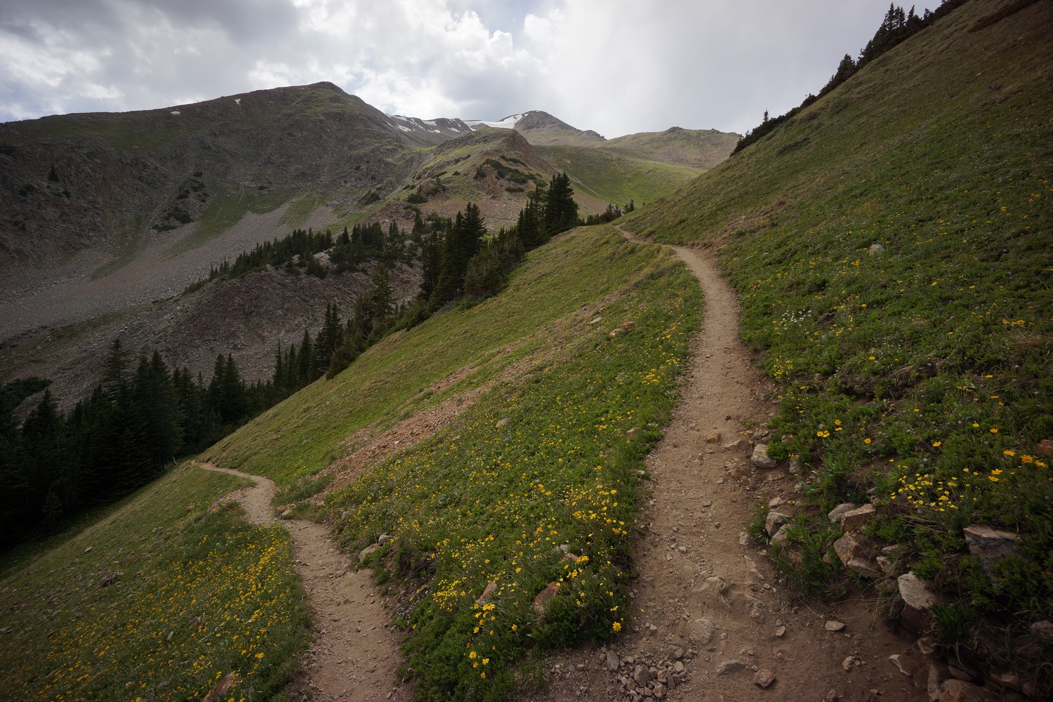
The next few miles of trail stays high, like it did in the san Juans. Great views, awesome hiking. Even crossed a couple of slopes still covered in snow.
I could see construction crews working on the road when I reached cottonwood pass. It’s closed, no hitch into Buena Vista possible. I’m headed to twin lakes anyways.
After cottonwood pass I entered the collegiate peaks wilderness. Pretty sweet views! And downhill for quite a while.
At the bottom of my descent I reached Texas creek. Other than the Gila, This was only the second time on the CDT where I had to actually ford a river. I put on my sandals and crossed. No problem. Just Under knee deep at the deepest.
A couple more miles slightly downhill along Texas creek. There were some beaver lodges in the ponds but I didn’t see any beavers.
Now the trail starts climbing again. I’m going for 1600ft tonight, leaving 1200ft of steep climbing up to lake Ann pass for the morning. It’s a nice forest hike with several stream Crossings.
I filtered water and ate around 6:30pm along a stream. Tons of mosquitoes, very annoying! I had to put on my zip on pant legs and cover up.
I knocked out another couple miles before finding a spot to camp a Quarter mile north of the trail junction to lake Ann pass. Mosquitoes were insane here too. Covered up immediately with the pant legs again, and my hooded fleece. I eventually set up the tent for to the bugs, although I’m sure they’d die down later. Just don’t want to deal with them anymore.
Great sunset. Two big climbs tomorrow and about 20 miles to twin lakes.
Miles – 23
Total Miles – 1104 (start 1125, end 1148)
Rain – no
Sleep – Backcountry tent
Animals – marmot, pica
Wednesday June 27th – CDT Day 68
Today I hope to reach the small town of Twin Lakes. While in Salida, I sent ahead a package with some food to the general store. This will supplement the likely poor food selection there. It closes at 6pm, and I have two big passes to climb along with about 20 miles.
The climb up to lake Ann pass wasn’t that bad. Switchbacks, not crazy steep.
From Lake Ann pass lies some of the finest views of the section. However, I was now faced with a steep ice cornice on the descent. Steps were kicked into the ice, angling down towards the switchbacks. Parts were near vertical. Some steps were icy, so I did my best to kick my own steps as needed. Not a death drop, but you wouldn’t want to fall here.
As I finished with the cornice, a group of hikers approached from the switchbacks below. One of the guys was celebrating his 80th birthday with an 80 mile hike. This guy looked amazing, like a really fit 60 year old. Perfect example of staying active throughout life. He should be everyone’s role model!
Constant beautiful views the whole way down to lake Ann. Then the trail drops below tree line, following a steep river Gorge.
The trail continues to head down hill along south fork clear creek until it reaches the silver basin trail. It skirts the hillsides above the creek offering nice views when not in the forest.
The trail eventually heads uphill again towards Mt hope pass. And it does so very steeply. 2500′ elevation gain in 2.4 miles. Definitely the longest stretch of steep trail so far on the CDT. It was hot as hell today too, in the upper 90s down by clear creek.
I passed a girl named Kid and her two dogs on the way up, taking a break from the brutal climb, in the heat of the day. I did the same shortly after. There was no way I was going to make it to the general store before they close, so I decided not to push too hard.
Farther up trail I met a guy named Lot taking a break by a stream. After the stream, the climb lessened in severity. Still a tough climb, but not the keel over and die type like the beginning was. And great views.
At the top I chatted with Kid a while before heading down. Great views before doing below tree line.
I took the trail towards Willis Gulch, instead of following it down to the Bermuda triangle trail. I believe the Ley maps say to do this then cross the marshy area around twin lakes. Sounds easier just to go towards Willis gulch… And it was. There was a bridge over the river here at a popular trail head.
Dark clouds and rain in the distance, but scattered. I stopped to filter water from the river and washed up a bit. A woman pulled up in an SUV and asked about if this was the right spot to pick up her husband. Her husband ended up being Lot, the guy I met going up hope pass just a few hours earlier. Lot arrived shortly after, and offered to give me a ride into town. Sounds good, since I didn’t have anywhere in mind to camp.
After a 2 or 3 mile ride into town, we passed the general store. There were several hikers gathered outside here, even at 8:30pm when I arrived. Sprinkler, Earl Grey, cookie monster, and inspector gadget (CDT 2014). I still had time to order some food at the Twin Lakes Inn. Expensive, but beggars can’t be choosers. I ended up getting a room here too, as the allure of a bed, shower and sink laundry were too great.
Nice room, great shower, comfy bed. I’m out!
Miles – 21
Total Miles – 1125 (start 1148, end 1169)
Rain – no
Sleep – hotel
Animals – marmot
Continental Divide Trail – Lake City to Salida Hike Overview
The first section of trail out of Spring Creek Pass was very scenic and similar to the last stretch south of the pass. After San Luis Peak, the trail drops down and the high mountain scenery fades away. Low valleys, dirt roads, forest. Lots of climbing and no views to show for it. After about 70 miles of this, the trail finally climbs high again and hikers are rewarded with distant views once again. This too comes at a cost… dodge the mountain bikers. After about 150 miles of the CDT sharing trail with the Colorado trail, I saw my first, and 100th, bikers. Watch out for these guys, they’ll run you over!
Sunday June 17th – CDT Day 58
Got up when I felt like it, around 8am. Bad weather still loomed, and so did many of us hikers. I ate breakfast at the Chillin place next door and took my time.
Easy and I left the hostel late morning to hitch back up to spring creek pass. Almost immediately we had someone stop, but was only going a few miles up the road. Another person stopped and we took a shorter hitch to the outside edge of town at cinnamon pass. Along the way, he stopped and picked up sprinkler, who had been trying to hitch for 1.5 hours. sprinkler had seen a black bear run across the road earlier though. Cool!
After being dropped off at cinnamon pass, we immediately got another ride out to our destination at spring creek pass.
We reached the pass and started hiking around noon thirty. Dark clouds and rain drops were prevalent. The trail climbs up about 1500ft onto a mesa. This was a bitch right out of town with a heavy pack.
Now I walked on snow mesa, completely exposed. Low visibility due to the dark and fast moving clouds. Rain drops on and off. Fortunately, no thunder and Lightning.
To protect my stuff from the rain, I used a trash compactor bag as a pack liner, as well as a pack cover for the outside. First time really wearing my train jacket all trail. It was cool out, but I still didn’t want to wear rain pants. I just hiked in shorts as I’ve done this entire hike.
Walked the mesa for a few miles and then some ups and downs. Constant low clouds made for a cool hike but it was now cold and wet.
After 9+ miles I saw sprinkler and easy setting up camp next to two other tents. The trail climbs high right after this so there’s little chance of another good site like this. It was cold and my feet were soaking wet, so I too decided to make this camp home for the night. Turns out it’s mark and John, whom I hadn’t seen since Doc Campbell’s.
This evening there was a large group of big horn sheep just above camp. With my zoom lens I was able to get some shots, but nothing too good. Also saw them sparring, bashing heads together. That was pretty awesome.
We’re all hoping for good weather tomorrow so we can cover some miles. At least this should have helped the Colorado wildfires.
Miles – 10.3
Total Miles – 944.2
Rain – yes
Sleep – Backcountry tent
Animals – big horn sheep, marmot.
Monday June 18th – CDT Day 59
I woke up to the Sun on my tent this morning, a very welcome feeling. It was a bit breezy and cooler but hey, no rain!
Started hiking at 8. There were a couple bigger climbs this morning and then it was all downhill. I also had the option to bag San Luis peak, a 14 ER. However, I have plans to meet my buddy in Salida on Friday, and would like to get there Thursday, Early enough to do a couple of chores as well. So today, I hope to cover as many miles as possible and take advantage of the very long downhill section.
The first climb was a tough one. Very steep and first thing in the morning.
The second climb was tough too, but I started finding some very clear crystals along the trail. If it’s not some super pure form of quartz then I don’t know what it is. Grabbed a few of these to add to the collection.
Next I passed the intersection for the Creed cut off. Apparently a lot of people had to take this when the san Juans were closed. Glad I made it through.
After another climb I crested a pass. Here I could see San Luis peak. No snow on top. The trail stays high along the edges of the basin and makes its way to a saddle below San Luis peak.
I decided against climbing San Luis peak for a few reasons. I had already done a lot of climbing today and wasn’t in the mood for any more, and I wanted to cover more miles.
Now it was all downhill for most of the rest of the day. It’s a 15 plus mile stretch of no climbing, so I should be able to do this and more today, even though it’s already almost 1pm.
While hiking down the valley below San Luis peak I stumbled upon Dixie. We ended up hiking together for a while. Then we stumbled upon Easy, and we all took a break together.
The three of us hiked together after our break for a while until we reached a stream. I stayed behind to filter a couple liters.
Next was the La Garita wilderness. Here the trail follows a river and runs through a valley. Scenic, and a nice change of pace.
Eventually caught up with Easy again and we hiked together for about an hour and a half. He stopped to make camp where the trail started climbing up a dirt road, ending the 15 mi downhill section. However, I wanted to cover a few more miles and so I kept going.
Much of the rest of the evening was along a dirt road. I hiked until around 8:45pm, finding camp in the tree line alongside a huge open field. I cowboy camped tonight.
Hiked 31 miles today, which was 29.1 guthook miles. Gotta put it a few more big days to make my Thursday afternoon schedule.
Miles – 31.1
Total Miles – 975.3
Rain – no
Sleep – cowboy camp
Animals – none
Tuesday June 19th – CDT Day 60
Woke up with the Sun shining on me around 6:15. Beautiful morning.
This morning’s hike follows a dirt road for several miles as it passes through the same very large Valley I entered last night. Easy hiking, but nothing super scenic.
Then the trail heads up pill and into a small Valley with a little stream. However, the were a ton of cows in the area and the water looked dirty. Also it wasn’t very deep, so I skipped this water source.
The trail heads up Hill along a dirt road. Not much to see here. I’m getting really thirsty now, running on about one liter all day. It’s now late morning and I’m about 12 miles in today.
Made it to the next water source after 1pm. Earl Grey was here as well. 16 miles so far today. It’s also been awhile since I’ve been this dehydrated. I drank over 2 liters of water and filtered two more to get me to the next source.
The trail crosses a paved highway and then follows Lujan creek rd uphill. Nothing much going on here, just a 1500ft climb with little to see.
The CDT leaves the road and becomes trail only for the rest of the day. It’s also the beginning of several miles of ups and downs along a series of wooded hill tops. Boring! And tiring.
Late this afternoon I hit the 1000 mile mark on the CDT. Woo-hoo! About one third of the way done now.
I made camp on a saddle just north of middle baldy. Lots of mosquitoes out here. Those bastards.
Miles – 28
Total Miles – 1003.3
Rain – no
Sleep – cowboy camp
Animals – elk
Wednesday June 20th – CDT Day 61
Today’s hike continued where yesterday’s left off… Boring ups and downs along a ridge with no views. Lots of rocks to trip over and to hurt my feet. Lots of mosquitoes.
A couple of nice meadows along the way filled with colorful flowers and dandelions.
Today was dry as well, one stream early afternoon. So I was thirsty all morning. Filtered my water and continued heading downhill when I should have made a turn uphill here. Went about 1.5 miles out of the way before realizing it, so about an hour lost here.
Heading up hill now, more ups and downs with little views. A few clearings in the trees offered some of the first distant views in a while. There were a couple of dirt bikes on trail here, pretty sure that’s not allowed.
After a steep climb up to Marshall pass, there were some better views along the ridge. A couple more miles to a snowmobile cabin now, where I’ll stay tonight.
When I reached the cabin, Easy was already there. I liked the rustic feel of the peeve, and preferred it over the yurt I stayed in before lake city. There was a marmot outside chewing on the cabin or something, making lots of noise.
Miles – 28
Total Miles – 1031.3
Rain – no
Sleep – cabin
Animals – deer
Thursday June 21st – CDT Day 62
Slept great in the cabin. The outhouse was nice, no need to dig a hole this morning.
After leaving the cabin, there was lots of interesting rocks along the trail. Big flakes of mica and even solid rocks of it. Picked up a few samples for the collection.
After a 900ft climb, the tail reaches an exposed ridge. Finally, distant views again! Man the last 70 miles were rather boring.
There’s tons of mountain bikers on trail now. The CDT had been paralleling the Colorado trail for around 150 miles and today was the first time I had seen a biker. And there are about 100 of them today! One group of 4 were came flying around a blind corner on a mountainside and I had to dive out of the way. They didn’t slow down at all. People like this give bikers a bad name. Nice tights, dude… Haha.
Made it to monarch pass a little after noon. It took me an hour to get a hitch. Chuck, a local trail angel, was dropping off some hikers at the pass and picked me up on his way back down to Salida. He offered to take me, Easy and a few other hikers rafting on the Arkansas River that evening. Hell yeah!
Checked in at the simple lodge hostel, showered then went out for pizza with Earl Grey. Smashed a whole pizza then back to the hostel.
Left the hostel around 5 when Chuck picked us up then headed down to the river. He had 3 rafts, the kind you’d use on a commercial rafting trip. In fact, we had an actual guide on our raft, who pretty much took care of everything. I only had to contribute a few paddle strokes all night in between drinking beer. Great sunset and an awesome experience!
Miles – 12
Total Miles – 1043.3
Rain – no
Sleep – cabin
Animals – deer
Friday June 22nd – CDT Day 63 (zero day)
Went to last with sprinkler and back to the hostel for laundry. Finally, the was a long wait.
I was excited to meet up with my friend Ryan today but unfortunately he has been sick and won’t be able to make it. Damn, that goes plans to prospect on mt antero today. At least we should be able to hang out when I get to Breckenridge.
Went to Safeway and picked up Italian sausage for dinner. Will cook back at the hostel with a couple other guys.
Miles – 0
Total Miles – 1043.3
Rain – no
Sleep – hostel
Animals – deer
Saturday June 23rd – CDT Day 64 (zero day)
Another zero day today. I’ve been having such a great time in town that I’ve been slacking on my log and need to finish that this morning so I can mail out my bounce box before the post office closes. This is becoming a common occurrence.
Miles – 0
Total Miles – 1043.3
Rain – no
Sleep – hostel
Animals – deer
Watch my Basin and Range Trail Movie on Amazon Prime
"His breathing is measured as he narrates his journey, describing the personal allure of the great outdoors, the difference between mere hobby and real passion. He discourses on his own mortality, about getting too old to have such adventures, and striking your own path in life while you still can." - John Glionna, Las Vegas Review-Journal article on the Basin and Range Trail
Watch Pioneering Nevada's Basin and Range Trail on other Streaming Services: Tubi, Xumo, Telus and Filmocracy
Like what you see? Patreon is a service that allows you to provide monthly financial support to your favorite content creators. For your monthly pledge, at various tier levels starting at $5, you receive perks and benefits in return. For example, early access to youtube videos, stickers, t-shirt, behind the scenes info on my new thru hiking route creations, special thank you card and more! Your monthly pledge helps me bring you more quality hiking and outdoor adventure videos, trail guides and content. Thanks for your support... you ROCK!😊
Archives
DIY Van Build
Check out my AWESOME DIY stealth camper van build project!