Mojave-Sonoran Trail Thru Hike 2021 – Section 2: Echo Bay to Callville Bay
Mojave-Sonoran Trail Thru Hike 2021 – Section 2: Echo Bay to Callville Bay
Mojave-Sonoran Trail Section 2 Map
Mojave Sonoran Trail Thru-Hike Section 2 – Echo Bay to Callville Bay, 50 Miles
The above map only represents represents section 2 of 9 on the MST. For a more detailed map and general route info, see the Mojave-Sonoran Trail Guide page.
Mojave-Sonoran Trail Section 2 Journal
Day 6 – November 8th
8.31 Miles (half day)
Animals Seen: About 15 big horn sheep
Woke up at 6:45 today and forgot about “daylights losing time”, and the sun had been up for an hour already. Whoops. Left the hotel at 7:30 am and started walking out of town So I could get a hitch. Unfortunately Overton is very spread out and I had to walk a solid 3 miles to get past the bulk of town. There wasn’t a ton of traffic, but there was enough to start getting frustrated that none of them would stop for me, a human standing out in the desert. Hmm.
I got my first hitch from a guy who is camping in an RV a couple miles out of town, but driving is pickup back to his RV camp spot. So now I was sitting in front of an area with about 40 RVs parked, and a few of them pulled out and drove past me. No luck.
Eventually, a really nice older couple driving a small camper van, not a big rv, stopped for me. Although they are American citizens, they live in Switzerland most of the year and just spend the winter and driving around the southwest in their camper van. They were here to hike Valley of Fire, and being fellow hikers, we hit it off. They followed several thru-hikers on YouTube and asked if I had ambitions to hike the continental divide trail. So needless to say, I enjoyed the company and they ended up driving me a little out of their way to go to the entrance to Echo Bay Campground.
Once I got dropped off at the road leading to Echo Bay Campground from North Shore Drive, I only had to wait two or three minutes before a couple of guys in a pickup pulled in and stopped for me. I rode in the back of the bed and made it to the campground around 10am. It only took me two and a half hours to go 20 miles! But, After a frustrating start to the hitching experience this morning, it was nice to end it on a good note.
I spent some time filling up water, eating leftover pizza and getting my gear situated. I didn’t start walking until about 10:30.
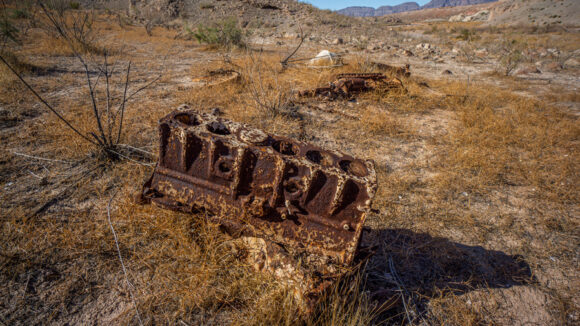
Lots of this junk near the shores of Lake Mead, and up all of the “fingers” of water that used to extend up the washes when water was higher
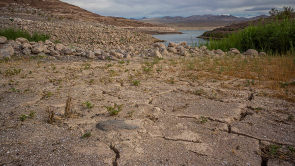
I dropped down into Echo wash and crossed over into the black mountains /Jimbilnan wilderness. The lower reaches of the wash and the base of the foot hills here used to be underwater when Lake Mead was higher. So, there was a lot of debris here like old anchors, chains and even a few engines.
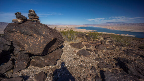
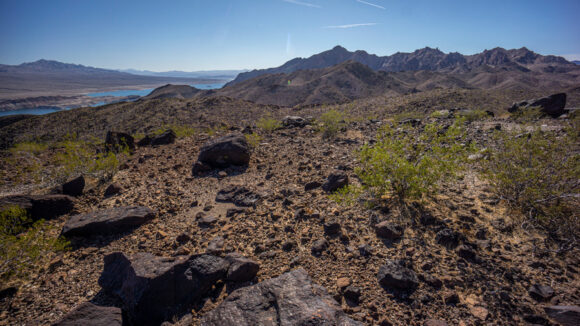
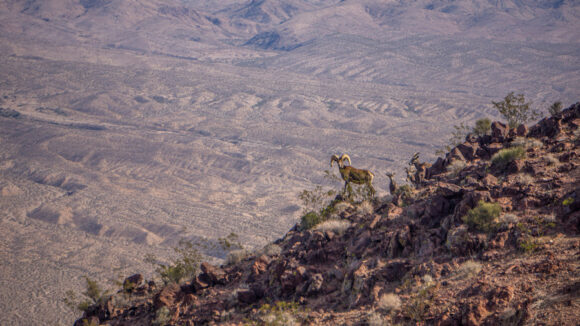
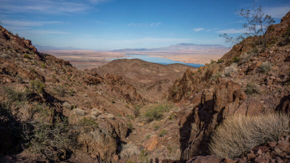
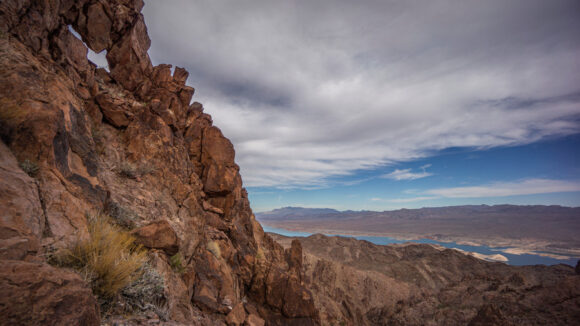
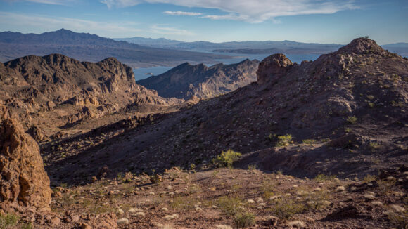
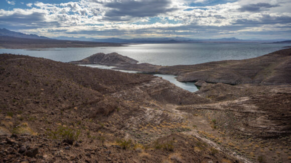
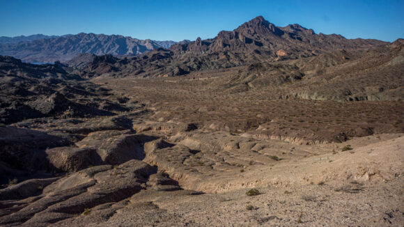
The first couple hundred feet of ascent were tough. It felt hot, even though today was in the 70s, and there were a ton of rocks and boulders to step on and over. On the way up, I saw a herd of six or seven big horn sheep. After climbing a couple hundred feet, I got my rhythm back and made quick work of the 1,000 foot ascent. I was surprised to see a stack of cairns at the top of the hill, but there they were. The views of Lake Mead were great, and the cathedral peaks Ridgeline on the horizon was very impressive. That’s where I’m headed as I enter the Jimbilnan Wilderness. Yeah, that name just rolls off the tongue, doesn’t it?
Now, there was a series of game trails to follow. Nice. They followed the path that I had charted out at home After studying the maps. To me, that’s a great feeling, to have your route plan verified by animals, who hike here daily.
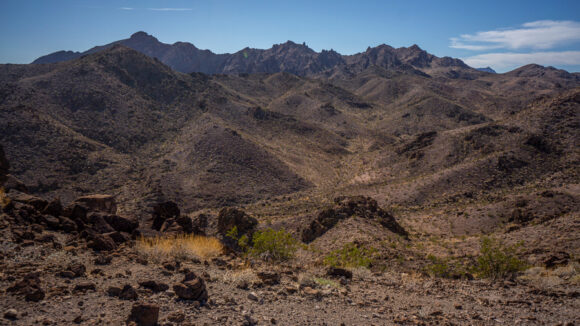
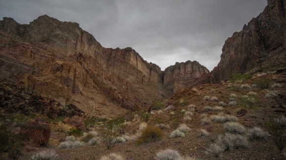
I wasn’t sure what to expect here, in the cathedral peaks area. The name sounds cool, but there is practically no information online about this area. I was instantly attracted to this ridge line and the greater area. I could tell today was going to be tough, but beautiful.
The ridgeline meanders up and down, and lead me to a canyon that I must climb to gain the crest again. I saw another seven or so big horn sheep, and got some cool photos of them on a ridge with my zoom lens. As I walked up the canyon, I encountered the only shade around. This makes for an obvious break spot. And lunch today is trash bag pizza! I ordered a pizza while in town and realized the box containing leftovers would not fit in the mini fridge in the hotel room, So I asked the front desk if they had anything like a gallon size ziplock bag to store the pizza in. They said no, but offered a thin trash bag. Hey, that’ll do.
After lunch I continued climbing the canyon. At the top, I climbed up a small ridge line and as soon as I did so, I startled two big horn sheep only about six feet below where I was standing. They scurried off, startling me in the process.
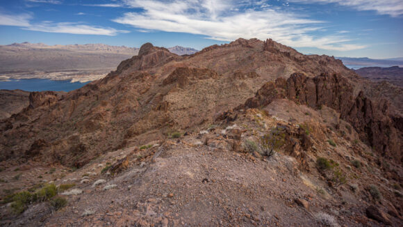
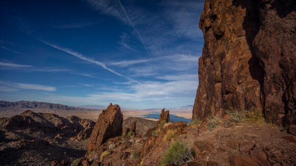
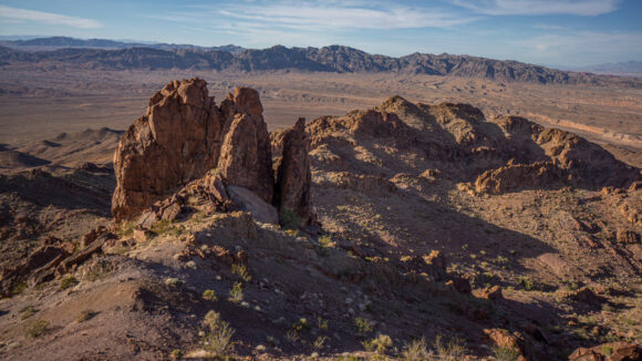
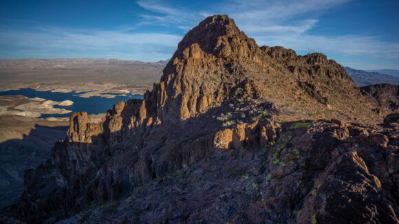
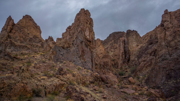
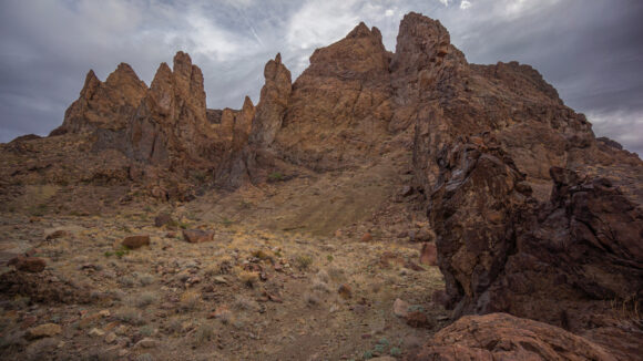
From here I could see West Cathedral Peak, my next destination. Some pretty cool vertical rock spires could be seen just below the summit. The views now we’re so good I was starting to get chills. But standing in my way was a steep rock face that I had to contend with. This was probably the crux of the day. It took me a good half-hour to work my way around it, down climbing a few ledges.
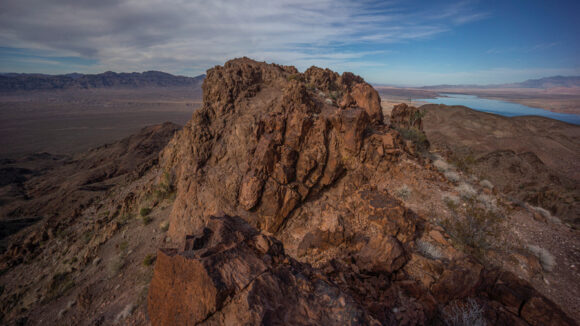
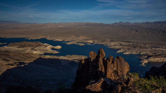
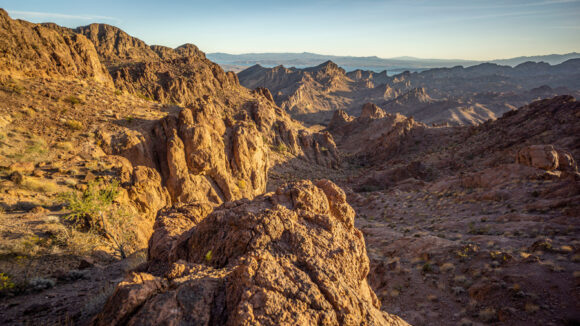
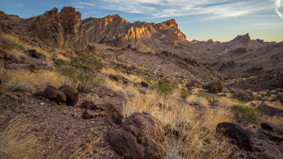
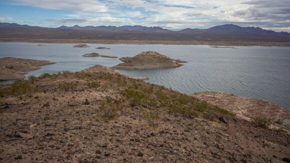
West Cathedral Peak offered excellent views of the entire area. The contrast of colors between the blue waters of Lake Mead and the white rocks sticking out of it was striking. Everywhere else I looked, There were jagged pillars and rocks spires, illuminated by the sun and glowing hues of Orange and Red.
In the distance, I could now see My next destination, the Cathedral Peaks High Point. It looked imposing and far away, and now close to 3pm, I began to question whether or not I would reach my intended camp spot tonight on the shores of Lake Mead. I made my way towards the peak anyway, leaving the decision to summit it for later.
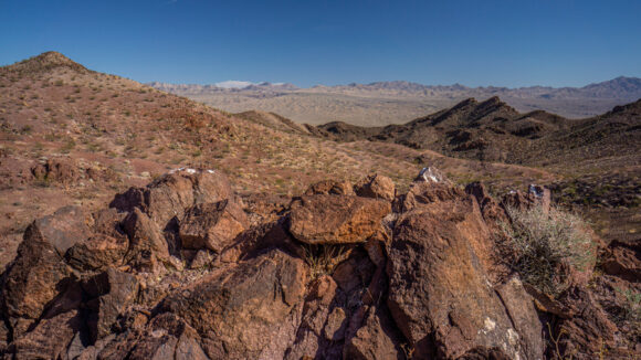
The Ridge connecting West Cathedral peak to the high point was rather easy and I made good time here. Most of the rock in this area is volcanic, sharp and not all that interesting. But here, I began to notice chunks of chalcedony, and druzy quartz.
I wasn’t exactly sure about the route up to the high point, but just started walking and following my instincts. Class two all the way up, with some steep stuff. At the top, a class 3 move to get to the summit block. Tons of exposure on the other side of the rock face, which is evident the moment I crested it.
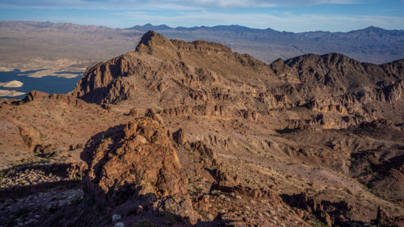
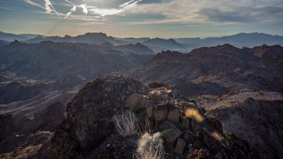
The summit view from the cathedral peaks high point was excellent. More or less the same as West Cathedral peak, but with a better view of Lake Mead. There was a summit register with one entry from 2008 I believe, one from 2017, and a couple from 2019 and 2020. I was the first to sign in in 2021. There were a ton of small gnats here, and their buzzing sounds made me think there was a drone nearby for a minute. The sun was getting low in the sky though, and with an hour and a half of daylight left, it was time to head down.
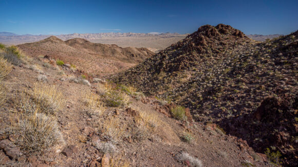
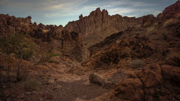
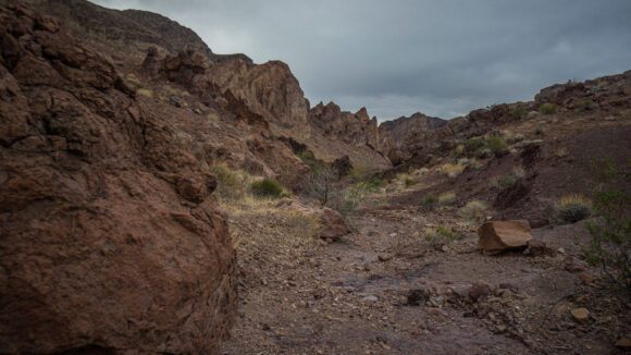
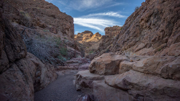
Next up is a series of canyons and washes. They looked extremely rugged from the top, and although the map didn’t make them look that difficult, I had my doubts. But it’s ruggedness also made it extremely beautiful. The lower I dropped into the canyon, the more I liked what I saw.
I was really trying to hurry down, since I saw nothing resembling a campsite so far. I was really doubting that I would make it to Lake Mead, so my new plan was to head far enough down where the washes became bigger, more free of vegetation and more Sandy… somewhere to camp for the night. I ended up rolling my ankle coming down the canyon, but fortunately, I was able to walk it off.
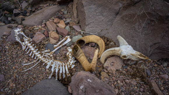
Every time I looked back, the imposing Canyon walls, Now illuminated by the setting sun, seemed to impress me more. I saw absolutely no signs of human use here. No footsteps, cairns, garbage, ammo casings, etc. I did find a big horn sheep skull, with the horns intact. These are always cool to find. They are surprisingly heavy though!
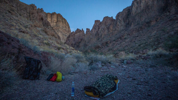
Now approaching the lower reaches of the canyon, the views were downright stunning. With 30 minutes of daylight left, I reached a side canyon leading to Cathedral Cove on Lake Mead. This was not the Cove that I was shooting for, I was hoping to reach S Cove, still another mile or two away. But I found a nice flat spot in a sandy wash, surrounded by huge cliffs and rock faces. With the stunning views and a good place to camp, I stopped for the day at 4:30 Pm. Man, the lack of daylight at this time of year is tough to get used to, stopping so early. Kind of wish I could live in the southern hemisphere during the winter. Hmmm….
I decided to cowboy camp this evening under the stars. There’s a fair amount of bugs out though, hoping I don’t regret it. I’m also happy to report that my appetite has been somewhat restored. Good thing because I paid a pretty penny to get into Overton and stay there two nights. Still, I think this was the best move for me in the long run, for the good of the hike. I was feeling fairly good on the first section, but it would have been a solid eight or nine days to Boulder City, where I was originally planning to take my first zero day. Personally, unless I am already in excellent trail shape (which I wasn’t), I don’t think it’s a good idea to try and push yourself that hard in the beginning.
Day 7 – November 9th
13.66 Miles
Animals Seen: 1 big horn sheep
Woke up at 5:45 am, Now that the sun comes up ridiculously early due to daylights losers time. It doesn’t make any sense to me to set time back an hour at this time of year when darkness comes at 5pm. Now it comes at 4pm? That’s worse! Anyhow, Clouds moved in overnight, overtook the stars, and right around the time I was ready to leave camp sprinkles began to fall. This was not reflected in the weather forecast, which I believe said 0% chance of rain and was not calling for clouds. The sprinkles were light and short-lived, though.
Having rolled my ankle yesterday, it was feeling a little tender as I began my hike this morning. I found another big horn sheep skull and skeleton shortly after leaving camp. I suppose it’s not surprising considering how many live sheep I’ve seen in the area. Progress was fairly slow, and about to get slower.
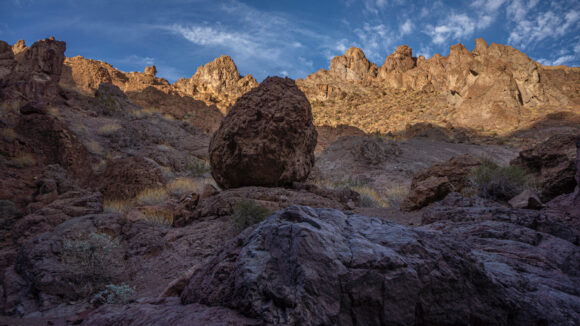
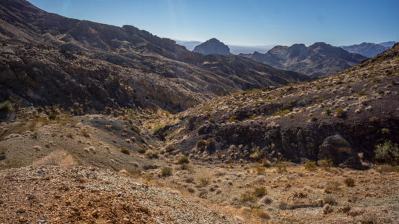
I left the wash I was in for a wash leading to S Cove on Lake Mead. I hiked up the drainage over a small pass, and down into the wash on the other side. The scenery was excellent now, colorful and stunning rock formations towering high above the canyon. Lots of jagged peaks, pillars and spites. Truly stunning. Another place that boggles my mind… there are places like this, of this magnitude, that remain so obscure? Only an hour from Vegas, at most, and yet, I feel truly immersed in this remote wilderness environment, seemingly untouched.
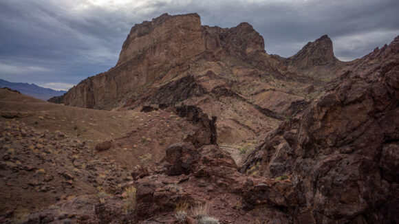
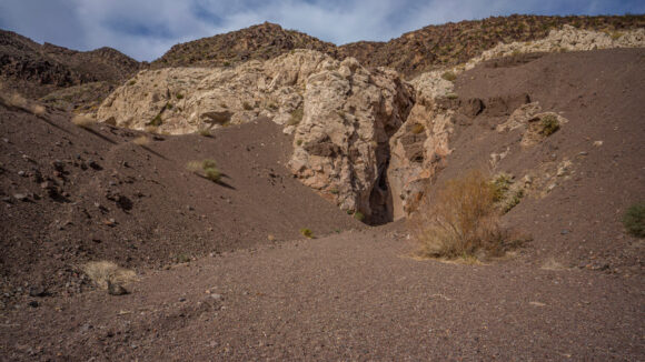
The entrance to S Cove. Canyon route on the right/below, game trail up and over the hump in the center
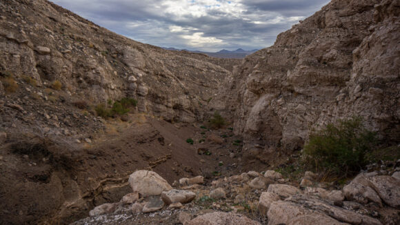
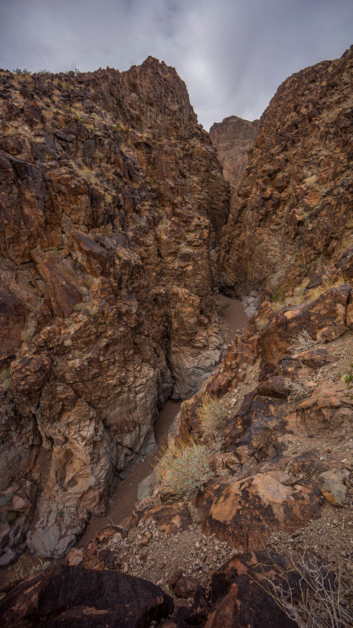
After a 1.5 miles or so, I reached the canyon that will take me to S Cove on Lake Mead. From the moment I entered the Canyon I knew it was going to be difficult. There was a large narrow Canyon with a pour off that I needed to traverse around, and thankfully there was a high route around it. The landscape here continued to impress. There would be many more pour-offs below as I worked my way down.
I encountered one pour off that was not very tall, but awkward enough that I used my paracord and carabiner to lower my pack. This makes a huge difference, to be able to down climb freely without the bulk of the pack getting in the way and hindering the climb.
The walk down the canyon to S Cove was very scenic. None of the obstacles were too difficult to climb. More big horn sheep carcasses and bones.
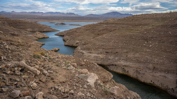
Eventually, I made my way to the lower reaches of the Canyon and Now could see the high water mark on the rocks. It seemed like the route to s cove took forever. In this case, forever means a two and a half hour walk from camp this morning. Yeah, I wasn’t close last night.
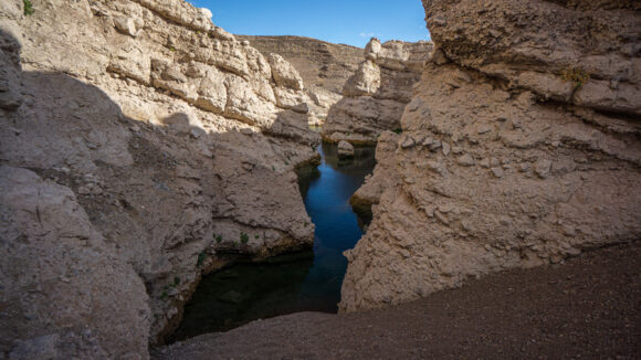
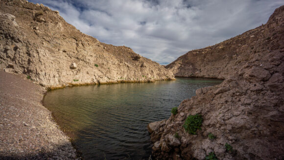
Lake Mead at S Cove. With water levels rapidly changing (dwindling), the point at which the water extended up into the canyon is constantly changing
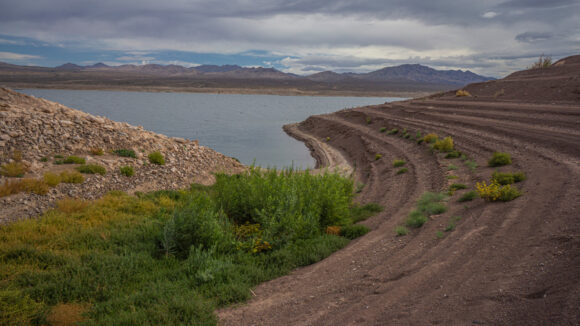
When I finally reached the water, the first thing I noticed was how the gravel from the wash dropped steeply to the water level. I immediately began to filter water, knowing how slow my Sawyer filter is functioning. I used a gravity feed setup to let the water filter while I ate a snack and took a break. Then it was on to filtering by hand, squeezing and squeezing until I collected two liters. This would be enough to get me Cleopatra wash. And it would have been quite easy to camp here last night, had I made it. However, I feel like there would have been some animal activity here as it’s clear they used the spot to get a drink themselves.
Now it was time to follow the shoreline of Lake Mead to Cleopatra Cove. From s Cove, the shoreline was not really visible or accessible. In the way lies several ridge lines that equate to lots of ups and downs. Nothing to do but start tackling this obstacle.
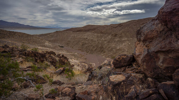
At the top of first ridge, I had my first big view of Lake Mead. The wind was whipping now, about 25 miles per hour. No boats were on the water today, and wisely so. My view was a depressing one, since I could see several more large ridge lines to go up and over.
After making it past Kendall Cove, the shoreline became much easier to walk. It was flatter and there were less ridges to contend with. Now, I was actually walking on the beach just a few feet from the water, instead of a few hundred feet above it. Progress was much faster now.
When I reached Cleopatra Cove, I was surprised to see just how far the waters of Lake Mead encroached on the Canyon. I was on a ridge line, looking down on it. I needed to head uphill to get a better view of the wash and how I could enter it. I noticed the entrance of the canyon was quite narrow and tall, and appeared to contain several pour offs. I saw a trail of big horn sheep scat leading uphill, so I followed that for a bit. I realized I would not be able to continue on this high route paralleling the canyon much longer, but there was no way down into it from here either. It was at this point when I realized I had made a dumb mistake… I forgot to Fill up water from Lake Mead down at Cleopatra Cove. I had been side tracked by the entrance to Cleopatra Canyon and my need to find a way down into it.
So, I backtracked down to the water. It was the same deal as S Cove, the wash ending with a steep gravely descent top three water level. It was imperative to fill up on a good amount of water here since it would be a solid day before my next opportunity.
It took me an hour and 15 minutes to filter 5 liters. The speed at which this Sawyer filter operates was really frustrating me now. I am squeezing as hard as a I can without popping the dam bag, and that’s as fast as it will go. I’ve already backflushed repeatedly. I will definitely be taking an Uber into Vegas or Henderson to a Walmart so I can purchase a new one when I get to Boulder City. These things don’t seem to last more than a season for me.

The little pass leading down into the canyon proper, avoiding the climbing obstacles at the canyon entrance
With 5.5 liters now, I headed back to the entrance to Cleopatra Canyon. There were several large pour offs in the lower reaches of the canyon that prevented me from progressing further. Fortunately, there were some game trails leading up a side canyon that parallel the entrance to Cleopatra Canyon. These proved to be quite useful, leading me to a path that ultimately dropped down into the canyon and avoided all of the unclimbable pour offs. I even saw a couple of cairns, which surprised me. Someone had been through here.
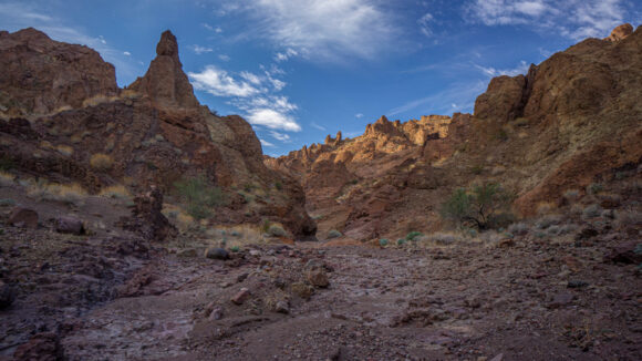
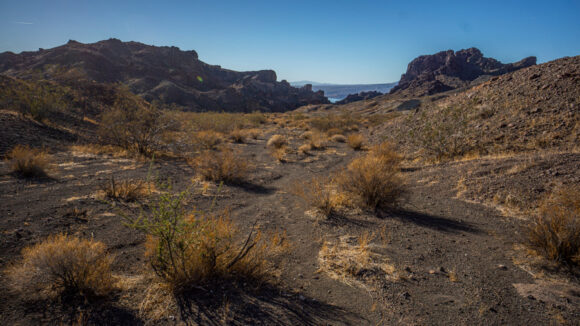
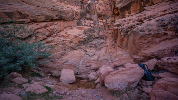
The lower part of Cleopatra Wash is fantastic. The canyon opens up and becomes very hikeable. I really enjoyed these next few miles up this spectacular canyon.
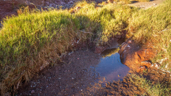
Around the middle section of Cleopatra Wash, I began to notice how green it was. And the additional animal tracks/scat. I began to think there’s a chance there is water in this canyon, despite not seeing any in my research. I did see my first water here, and it was guarded by a cloud of bees. Perhaps a few gallons in a small pool.
Climbing up out of the middle section into the upper, the traces of water continue. An occasional puddle or pool, the subject of high competition amongst the local wildlife population.
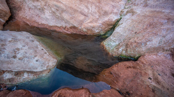
There were many more small pour offs to climb up and over, but really no big deal. I encountered multiple puddles of water in the canyon, some small and some as large as maybe 10 gallons. The water was typically in gravel, and therefore could be dug deeper if needed. It was clear animals did this in some spots. Tracks and scat could be found that every water source here, but that is to be expected. I passed on all of the water sources since I had just topped off my supply.
I exited the canyon at around 4 Pm. Now I was in a much larger valley and there was a 4×4 road running through it. With under an hour of daylight left now, I made the decision to skip Redstone Peak and follow the road for 2 miles instead. The main reason for this was that I am about a day behind schedule now, and I don’t want to run out of food. Plus, with Sentinel peak and Hamblin peak ahead, I wouldn’t be sacrificing much.
Along the road, I left the Jimbilnan Wilderness and entered the Pinto Valley Wilderness. I walked until the sunset and grabbed the first possible campsite I could find. A hundred feet off the road, on top of a small little ridge, I found a fairly flat spot with some small rocks that were easy to move out of the way and provide a place to Cowboy camp. Not the best spot, but really, not bad either.
Today was a tough day, but I was rewarded for my hard work, that’s for sure. The Jimbilnan Wilderness is an incredible place, and I will always remember my time hiking it.
Day 8 – November 10th
15.81 Miles
No animals seen
The quilt I am using, the hammock gear burrow 40, was designed with horizontal baffles that hold in the insulation as opposed to vertical baffling. And before going to bed each night I must shake the bag out in such a way that the insulation moves towards the “top” of the bag, as opposed to underneath my body. I didn’t do a great job of that before going to bed last night, and as a result, I was a bit cold by the time the sun came up. I really don’t like the design of this particular quilt, and have thought about either replacing it or somehow having it sewed in a way where the insulation doesn’t move anymore.
Started hiking by 630. It was nice to begin the day with a walk along a 4×4 road Instead of off trail. This was short lived though, and after 30 minutes or so it was time to head off trail.
The morning began with a series of washes, taking me up and over a small pass around a lone high point, and down some washes the other side. For the first time, I encountered some thorn bushes in the washes that were problematic to move around. Additionally, it’s easy to lose your direction in the washes, especially when they Me and her back and forth and different directions. Needless to say, I took a different approach and just went up and over each ridge and wash, which thankfully was possible due to the fact that the banks of the washes weren’t too high or steep.
Next, I entered a valley flanked by pyramid peak and booths pinnacle, which was an easy walk. This would lead me to the base of Sentinel Peak, which was out of sight nearly the entire time.
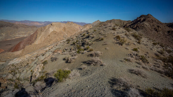
There really wasn’t all that much elevation gain to reach the ridges leading to Sentinel Peak. Or rather, “the Sentinel” as it’s marked on the map. Nobody that climbs this peak comes from the direction I’m coming from though, and so I was on my own with a route. I followed a series of Game Trails along ridge lines leading towards Sentinel. At times, the game trails traversed some pretty steep slopes.
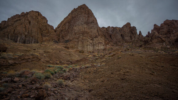
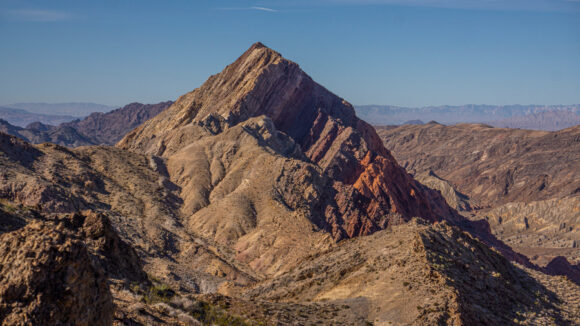
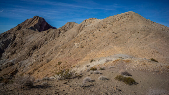
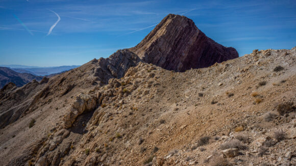
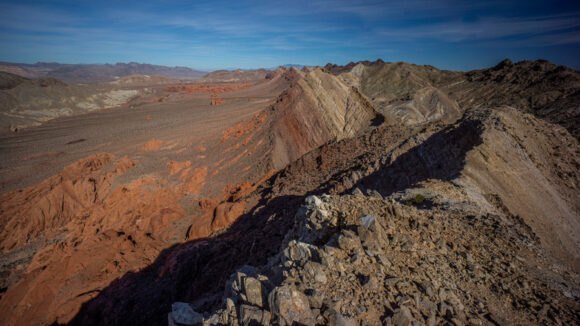
The ridge lines leading to Sentinel where quite stunning. The first bit was steep, traversing around one slope in the shadows for a while before popping back out to a proper ridgeline again. Sentinel itself is stunning, and you can’t ignore it’s presence. You don’t have to know a lot about geology to recognize that something interesting has happened here, causing the landform you see before you. I had only done basic research on this peak and really, was just winging it here, connecting where I was this morning to the saddle below the Sentinel. So far, it’s working.
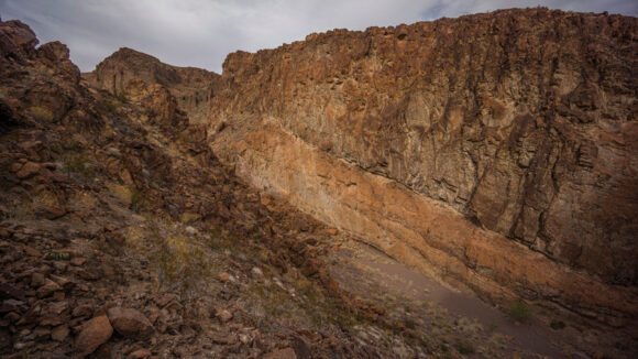
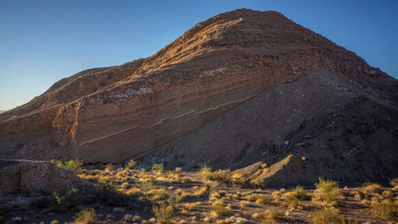
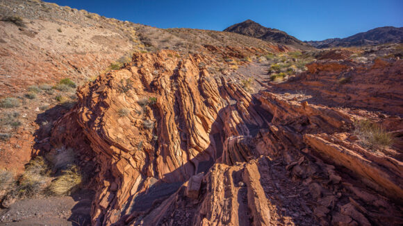
As I made it to the final ridge line that takes you to the summit of Sentinel, I could now see the sheer cliff face that was hidden from view earlier. Even the more gently sloping side of Sentinel appeared nearly vertical. Wow, just wow! You can see the various bands and layers of rock that make up the faulted/tilted landmass that is The Sentinel. Truly incredible.
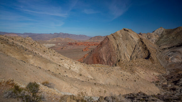
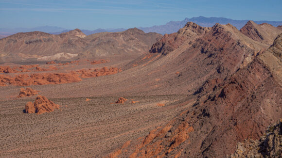
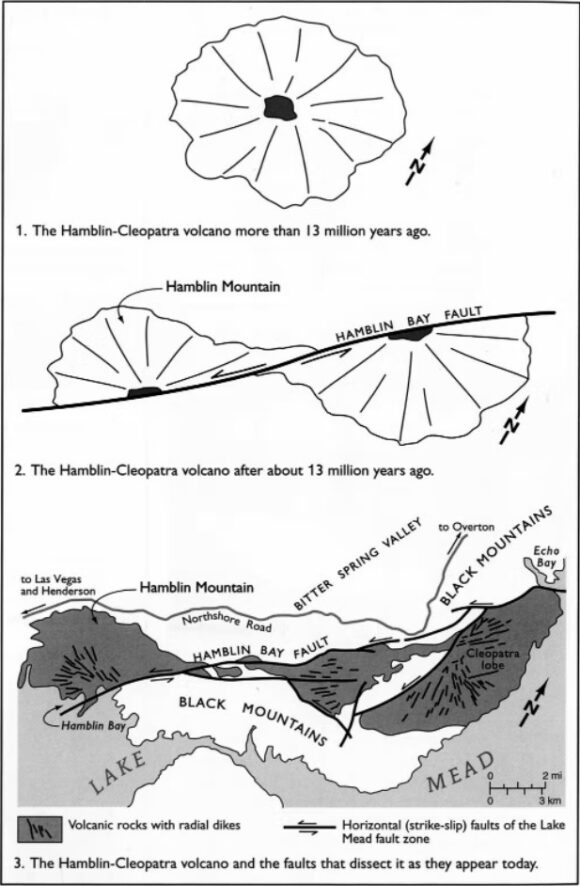
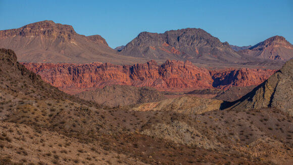
Looking northeast from the saddle below The Sentinel, the Redstone area immediately catches the eye… the outcrop of red rocks glowing amongst the dullness of the rest of Pinto Valley. Here too, one can’t help but think of the geological explanation for this scene. Faultlines and volcanic activity are the main forces that shaped this land.
This area is referred to as the Hamblin-Cleopatra paleovolcano. Basically, a volcano was torn in half by a fault line, and the two halves are moving farther apart from each other. So that’s pretty interesting!
I began working my way along the ridge line approach. It wasn’t long before I reached a section with quite a bit of exposure, that required sliding on your butt two gain as much friction as possible, in order not to tumble off a several hundred-foot cliff. I paused for a moment here and began to think about a multitude of things. I’m alone with no partner, no climbing gear, little grip left on my shoes. I am behind schedule by about a day and a half just on this section alone, which was only supposed to be 40 miles! That means my food supply will be running low Soon. I know it would take a lot of extra time to reach the summit, time I just don’t have. Adding all these things up, it was a fairly easy decision to just head down and enjoy the awesome views that came with the ridge lines near Sentinel, and save this peak for another time.
I’ve said it many times, but my philosophy as of late when it comes to these long distance hiking routes is to plan big, but accept the fact that you won’t do everything you set out to do. The alternative is to plan a really easy route, one where everything is a pretty much safe and guaranteed passage without any surprises. I like the idea of planning big, because I know I will accomplish at least a good portion of what I set out to do. If I plan an easy route, it’s very unlikely that I will deviate from this route to bag an extra peak along the way or go for any additional challenges. In the end I believe this leads to a much greater adventure, one worth far greater rewards.
It was an enjoyable ridge walk leading down from Sentinel. Then, I dropped down into a wash that seemed like it didn’t belong amongst these ridges and peaks, but instead on the valley floor. It wasn’t long before I encountered several pour offs, seemingly one every hundred yards or so.
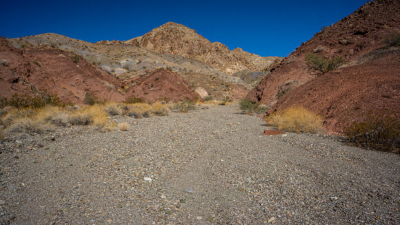
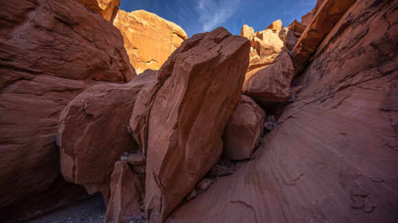
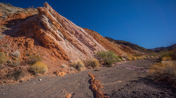
As I dropped in elevation, the color of the rocks changed from a lighter color to a red sandstone. This descent route was one that I had seen talked about online from the handful of people that have climbed it, and several people mentioned a challenging choke point near the bottom. However, I did not find the choke point to be all that difficult.
Out of Canyon now, I entered Pinto Valley. I had not planned to come this way, it was only since bailing from Sentinel Peak that I made this decision. I suppose bailing came with a major advantage in that I was now going to walk by sandstone spring. I could only find one reference to it online, which said it had a couple gallons of water in 2013, but also a lot of animal scat.
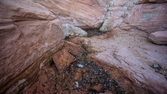
I was surprised to see a pipe and a trough near this spring, but no water in the trough. At the source though, there was indeed several gallons of water. However, this spring was extremely fouled with animal feces and the entire area was littered with more bones and skeletons that I could count. The smell was horrendous. There were many bees here too.
My first plan was to dig a small hole in the sand near the spring to see if I could get water to pool up through this hole. Nothing though, just more sand. I need the water though, because if I don’t collect here, I have to go many miles out of my way to Lake Mead and draw water there. So what I did was, take a small piece of women’s pantyhose to put over my wide mouth gatorade bottle and use that as a pre filter. There were a ton of squiggly little bugs swimming around, they don’t need to clog my sawyer filter any more than it already is. The pantyhose are extremely slow to filter through, unless you make an effort to spread out the material, making for larger holes for water to deep through. This worked quite well.
The water had a moderate green tint to it, which meant I would probably have to back flush a couple of times. Filtering was slow though, due to my Sawyer filter being old and compromised, So I filtered two liters and then collected three more to filter later at camp.
I had less than two hours of daylight to work with now and feeling like I hadn’t made all that much progress today. Fortunately, I was down in Pinto Valley now and could just walk the main wash running through the valley. Indeed, this made for fast progress. I was surprised to see another small spring (not on the map) in the middle of Pinto Wash, about a mile west of Sandstone Spring. The water actually looked better than Sandstone Spring, but I have a feeling this one is much less reliable.
Behind me, Sentinel peak and the outcrops of red rock where illuminated by the setting sun. I couldn’t help but turn around and look at this majestic landscape over and over.
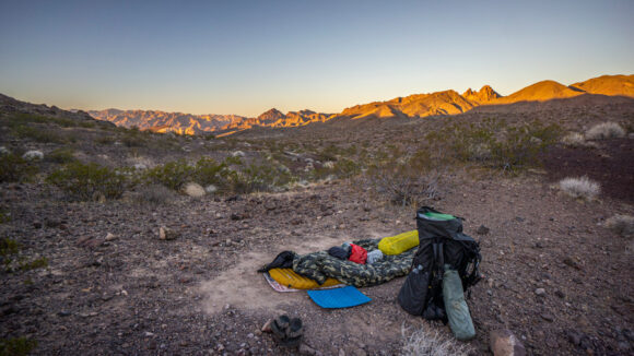
As daylight dwindled, My pace quickened. I wanted to cover as many miles as I could, and finish most of this valley today. I could have easily camped anywhere in the wash, but then the wash narrowed and became rocker. This forced me up and out of the wash and onto the surrounding ridge lines. With only a few minutes of daylight left, I found myself on a slanted slope with a lot of a medium-sized rocks. Not good. I chose to keep heading uphill, ultimately climbing the tallest one around. I was drenched in sweat by the time I reached the top, but I found a spot that would work for me. It was clear that it had been used by big horn sheep, as it was littered with pellets. I cleared out the scat and leveled the ground enough to make room for my tyvek ground sheet and air mattress. Cowboy camping again.
In the darkness, I rigged up my trekking pole against my backpack so that I could hang my gravity feed water treatment system and let this work While I did other stuff. It’s slow, put not that much slower than squeezing by hand. I really feel like the gravity feed systems are worth their weight in gold sometimes. In my case, I only needed to add a two-foot length of string to my platypus bag in order to achieve a gravity feed system. Basically, it weighs nothing extra.
Day 9 – November 11th
13.9 Miles (Half Day)
No animals
It was a bit windy last night, and the fine poof dirt that surrounded my campsite occasionally blew all over me. There was also the occasional mosquito. Cowboy camping is convenient, but sometimes it has its drawbacks.
I’ve been on a pretty consistent schedule now of waking up at 5:45 and hiking by 6:30. I descended the hill that I was on last night and back down into the wash.
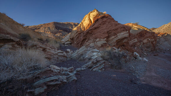
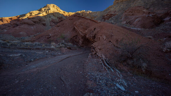
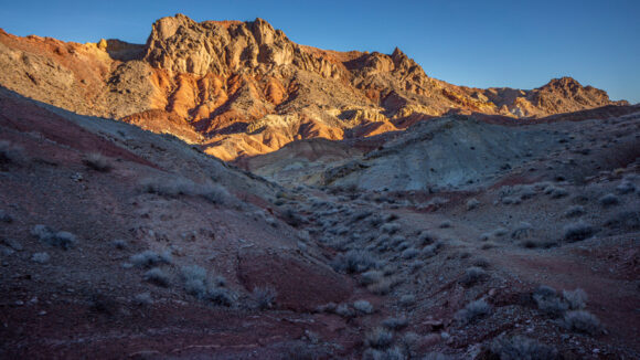
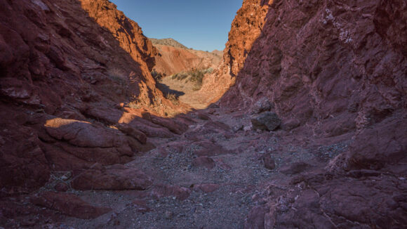
The washes in this area are a good hike. They are colorful and feature interesting geology. I could have summited Hamblin mountain, as I did on my last visit four years ago, but since the main view over Pinto Valley to the east would be obscured by the rising Sun, I decided it wasn’t worth it. It’s an excellent view over Pinto Valley, but best in the afternoon with the sun behind your back. A photo to the east in the morning here wouldn’t even be worth snapping.
Bad photos weren’t my reason for not climbing Hamblin though. Mainly, I am behind schedule and don’t need to take any unnecessary side trips. I decided it would be best to just take the quickest route to Callville bay. This would ensure I get there at a decent time, enough time to get a hot meal from the restaurant, buy a few things from the store, utilize 4G service, and walk out the same day. However, the views from Hamblin Mountain are truly spectacular, and I highly recommend climbing it if you have the time!
My route this morning took me by places I had walked four years ago on my previous Pinto Valley Wilderness hike. This area is extremely colorful and features interesting geology. It looks even better when one has the time to explore areas off the main route. Still, it was a pretty nice walk.
To be honest, I was feeling a little bit down this morning. I’ve always said it’s better to go alone than not at all, but sometimes being alone gets to me. For all the wonderful things I’ve experienced out here, it’s just unfathomable that I don’t have anyone to share it with sometimes. Such is life, and you have all the time in the world to think about it out here.
I left the main wash that heads towards North Shore Road and struck a path West. There was a pretty good game Trail here, and I was surprised to see a couple of cairns. There really wasn’t much here, and with all the other interesting places nearby, it just seemed odd to me. Nevertheless, I followed the path and it took me to a large Valley west of Basalt Peak.
The hike through this Valley was rather unremarkable, until I made it to the lower reaches of the valley. Here, the vibrant colors returned. The wash also became a little deeper and offered some shade.
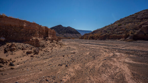
I followed this wash until I reached Callville wash. This one was rather large, basically the main wash speeding to Callville bay. It was easy walking here.
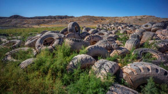
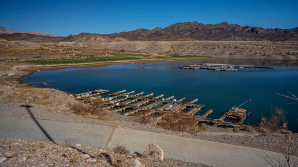
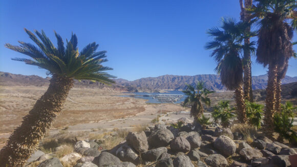
I went around to turn in the wash and in the distance I could see Callville bay marina. As I got closer, I realize the wash was filled with a lot more vegetation, and it became apparent that it wouldn’t be fun to walk through. Then there were the tires. A large open area separating the wash I was walking from the Hills leading from the water level up to the road were littered with hundreds, if not thousands of Massive Tires. These tires would have been used for construction equipment, the kind that are as tall as I am. So, instead of walking through the vegetation, I hopped my way across a sea of tires and avoided the brush. Never thought I would do that today, or ever.
I walked into the store / restaurant, and got a cold drink out of the cooler. I waited a few minutes for the restaurant to open for lunch, and ordered a double bacon cheeseburger with fries. In retrospect, I should have made it a triple. But it was a hot meal, and really satisfied my craving.
After lunch, I bought a couple of snack items from the store to get me by until I reach Boulder City, my next stop. I had stopped here at the store a few weeks earlier when I drove along the route to scout the resupply options. I knew there was very little here in terms of resupply, so I carried extra food during the last section, the food that I wouldn’t be able to obtain here at the store… things like tortillas, cheese and pepperoni, as well as breakfast items like bagels, protein bars and dried fruit.
There is a shaded area to sit outside well I ate lunch and did my mini resupply. Here, I met a couple of guys who worked at Callville bay, and hung out costing with them for a couple of hours. Sure, this set me back in time, but it was nice to have some human interaction. This really lifted my spirits and made pressing on quite a bit easier late this afternoon when it became time to leave.
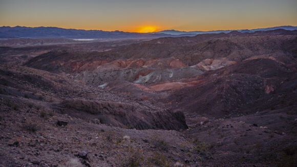
It was 4 pm when I left Callville Bay Marina to start Section 3, a 40ish mile walk to Boulder City. It was a short road walk before heading up a random Hill on a Westward trajectory. Once I crested the hill, I could see some colorful ridges and washes, as well as Lake Mead. With daylight fading, I drop down off the Upper Ridge lines to get out of the wind and found camp. I decided to set up my tent tonight, since I had the daylight to do so, as well as the space. No bugs for me tonight! After several nights of cowboy camping, having a tent felt like a real luxury tonight. In the distance, the city lights of Boulder City glimmer in the distance.




















































Leave a Reply