Ghost Ranch to Chama – CDT Thru Hike 2018
Continental Divide Trail – Ghost Ranch to Chama Hike Overview
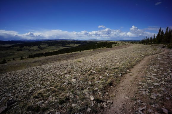
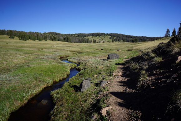
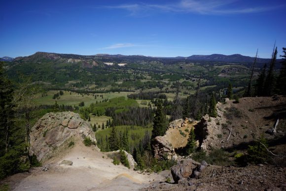
This section of trail takes you to the border of Colorado. After leaving Ghost Ranch, the terrain quickly transitions into mesa, hills, meadows, and ridges running high above valleys below. Water is suddenly abundant. Relatively, of course. The trails stays high, near 10k feet for much of this section, with a high of 11k. Lots of Elk. With every mile passed, it’s looking less like New Mexico and more like Colorado.
Sunday May 27th – CDT Day 37
Woke up around 6:30am to that same jackass playing the drum from the night before. Only this time, it was a single hit on the drum once every few seconds. At least this got me up for breakfast.
At the dining hall, it was bagels, hard boiled eggs, mixed fruit, packaged muffins and grits or something. A lot like a continental breakfast at a motel.
Hung out on the porch of the welcome center the rest of the morning and into the afternoon. I charged my phone, used wifi to do some internet things and ate food. Hikers came and went. I’ll be leaving later too, hoping the heat will die down a little.
I normally fluctuate between 32 and 34 size waist at home. The convertible pants I’m hiking in are size 32 waist, and they’ve been falling off for weeks now. This also means the hipbelt on my size large osprey exos 58 backpack cannot be tightened any more. The hipbelt is built in to the pack, not removable. I’ll need to buy the same pack in medium. I spent a while shopping online to find the best price for this discontinued item. Discontinued meaning, this is the 2017 model, replaced with the 2018 model. The new model has the hip belt pockets romoved. No deal (in Arnold Schwarzenegger voice).
I left ghost ranch around 4pm. New shoes now after exactly 650 miles. The Brooks Cascadia 12s are really working well for me, few blisters and no real foot issues.
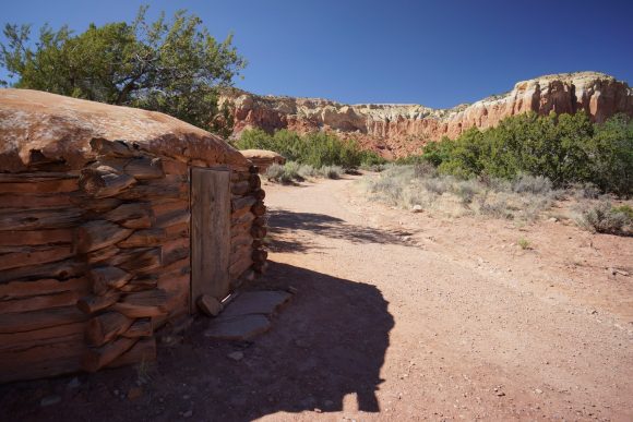
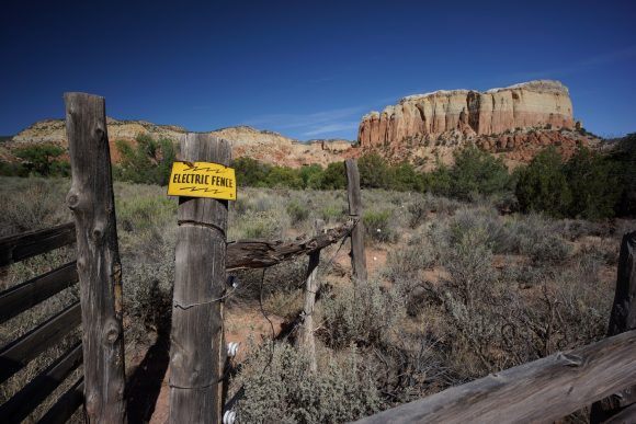
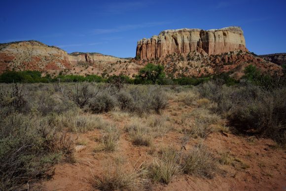
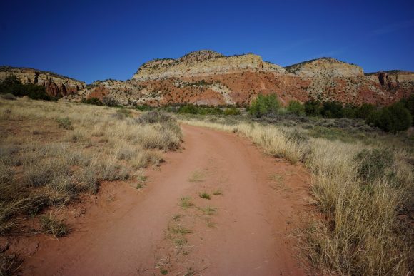
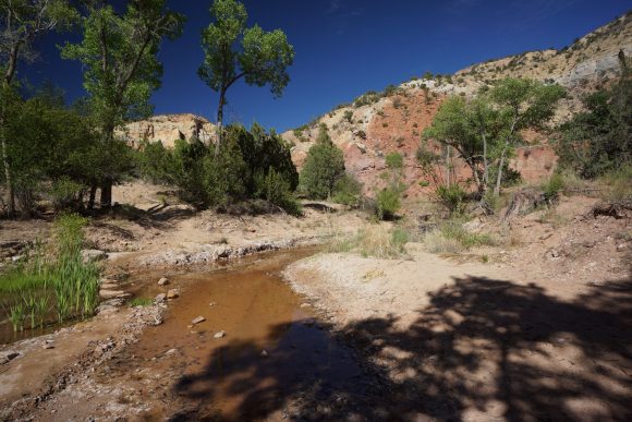
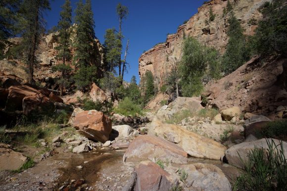
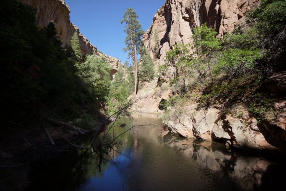
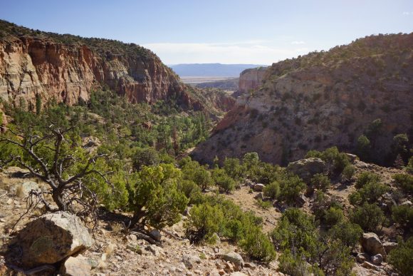
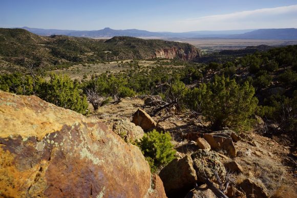
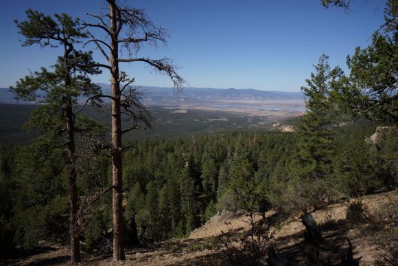
The trail leaves the ranch via the box canyon trail, and there are spectacular views all around. A good way to end the desert landscape, as I believe it now transitions into more high mountains from here on out.
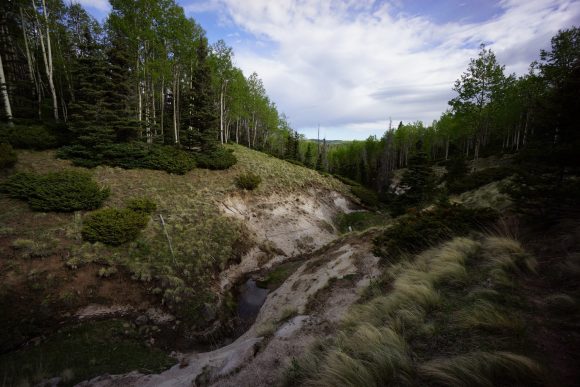
The Box Canyon Trail follows a small stream as it travels through the canyon. It’s a nice little desert oasis.
There’s an off shoot Canyon where the trail climbs out, very sleepy I might add. After this, the trail just keeps climbing and climbing. No more canyon, and back to the high desert. It’s hot and there’s some steeper climbs. At least they’re short-ish.
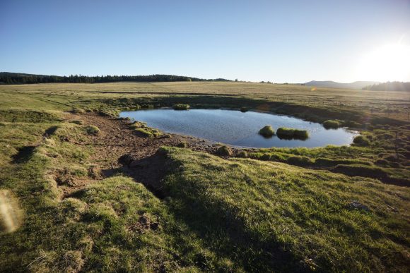
After the majority of the climbing is done, the trail joins a road and that is to be followed. This leads to dead end tank, which looked like a pretty good water source, despite being a cow pond, and yeso tank a little farther. Yeso was as nasty as it comes! I have a little over 2L left, I can make that last till late morning tomorrow when I get to the next good water source, maybe 7 miles more.
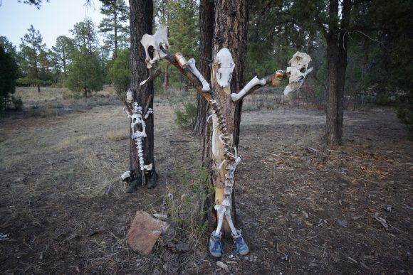
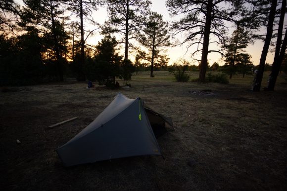
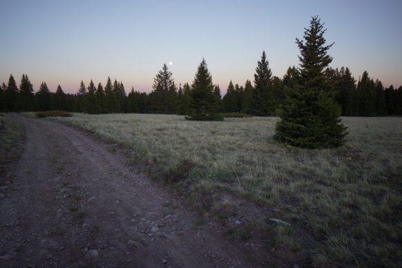
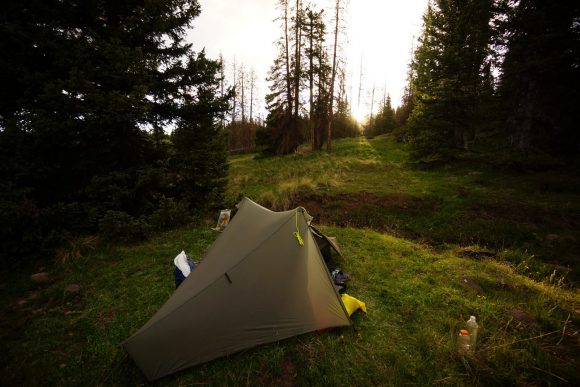
I found camp around 7:45pm. It’s along a dirt road, and had been used by car campers. It was the skeletons tied to the trees that caught my eye… Old animal bones tied up with barbed wire, boots, beer cans. Weird but funny. Some ambitious hiker should take this to the next level… skeleton wind chimes.
A beautiful sunset played out just beyond the trees. Looking forward to many more of these in Colorado!
Miles – 9.4
Total Miles – 659.8
Rain – no
Sleep – backcountry, tent
Animals – none
Monday May 28th – CDT Day 38
Started hiking around 8am, which has been my usual lately. Then hike til 8pm-ish. Hiking around 12 hours a day now.
The morning starts with a climb. First up a dirt road, then the trail splits off and climbs higher along the Ridgeline. Lots of elevation gain throughout the day. I had LTE for the first couple hours, then no more.
About 8 miles past last night’s camp and right before the junction with the main CDT, I reached Harris bear spring. I took my water from the pipe feeding the lower Trough. I ate first lunch while filtering water.
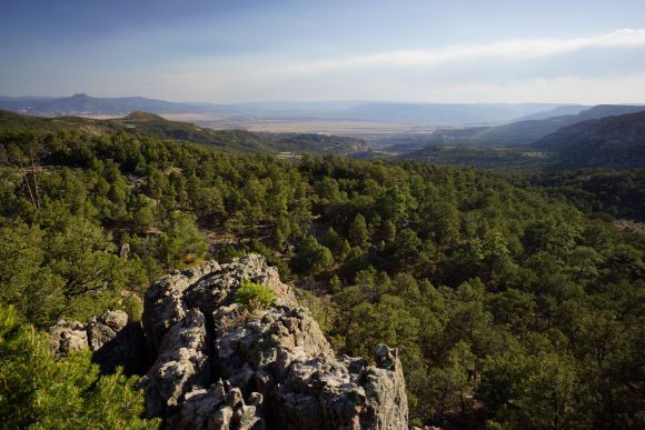
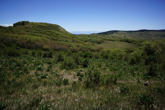
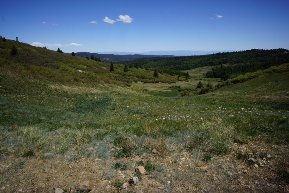
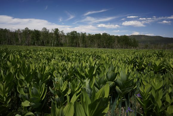
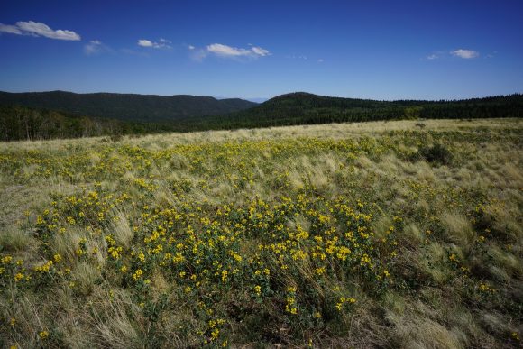
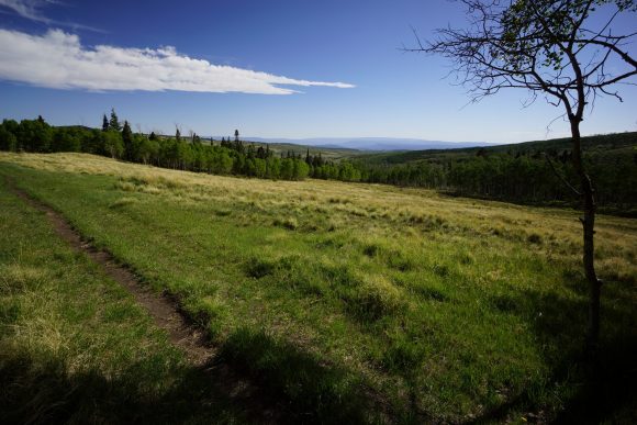
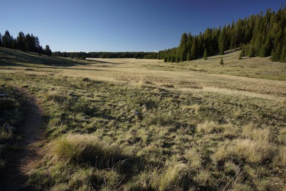
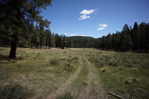
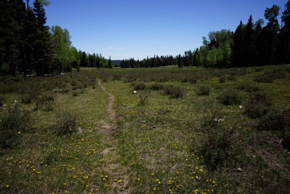
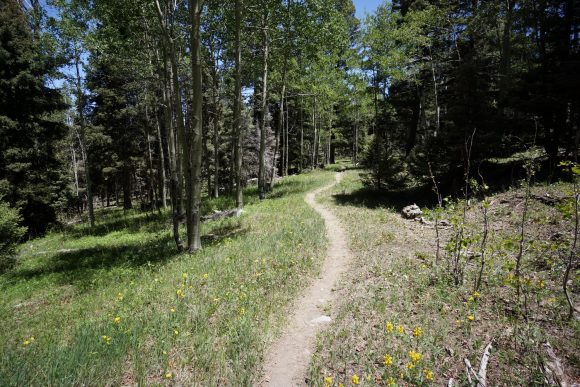
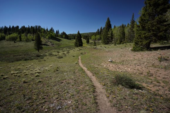
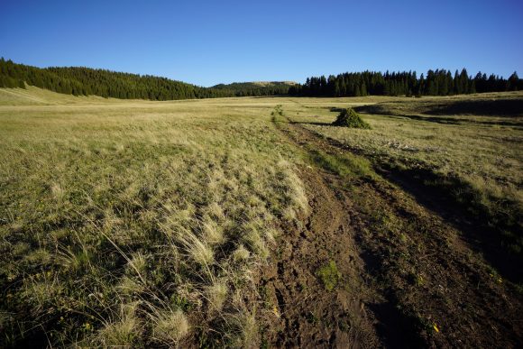
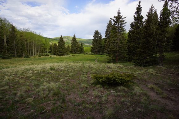
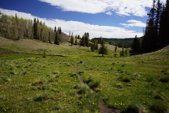
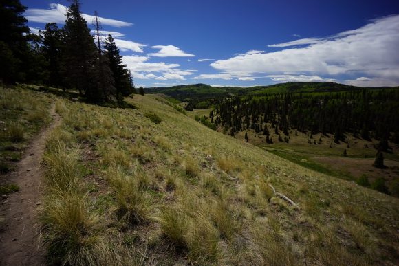
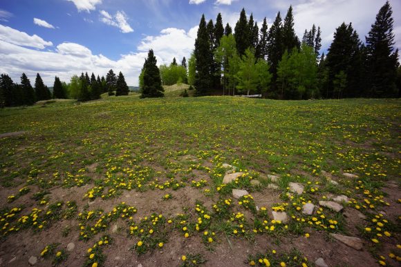
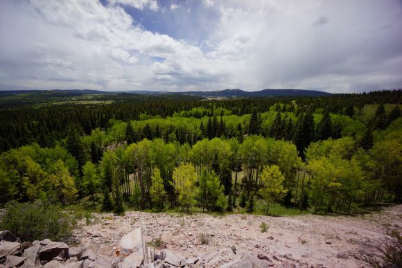
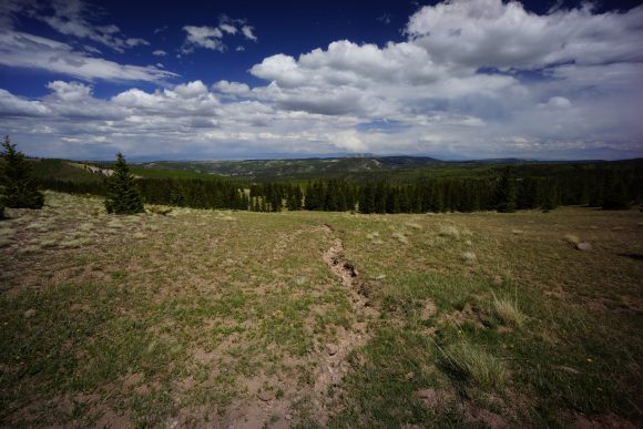
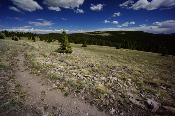
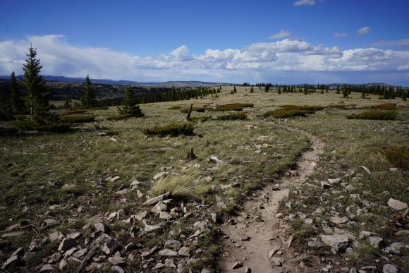
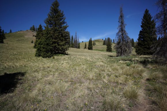
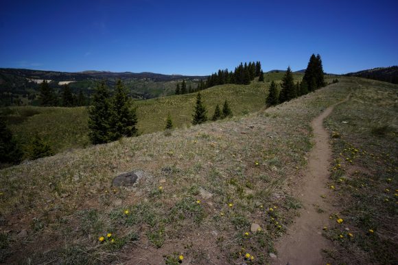
Now done with the ghost ranch alternate route, the landscape looks like the San Pedro parks wilderness area, but with more distant views. Large rolling Hills and open Meadows, patches of pine and Aspen trees. And of course, cows grazing here and there.
I found a couple more pieces of obsidian this morning. Then I found in Arrowhead made out of obsidian. Pretty cool, never found an artifact like that before.
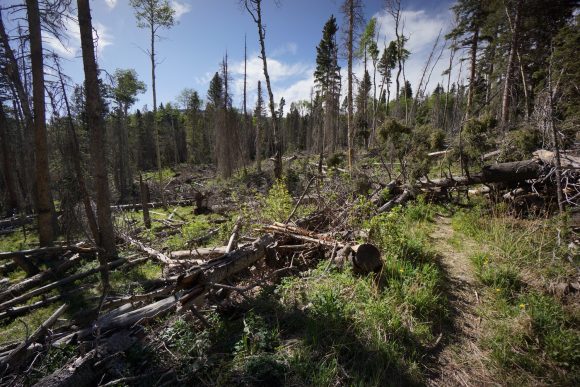
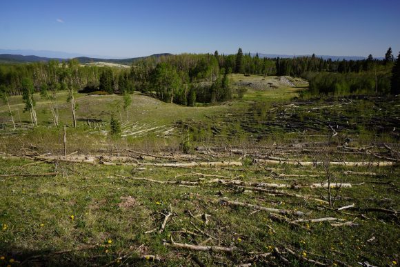
The trail is still climbing. Lots of downed trees in the 2 mile stretch before upper canjilon lake. Saw an elk in this area.
The trail continues to climb up along canjilon creek. Some small patch of snow still exist along the creek and in tickets of trees. I stopped to filter water again early evening. Carrying 3L.
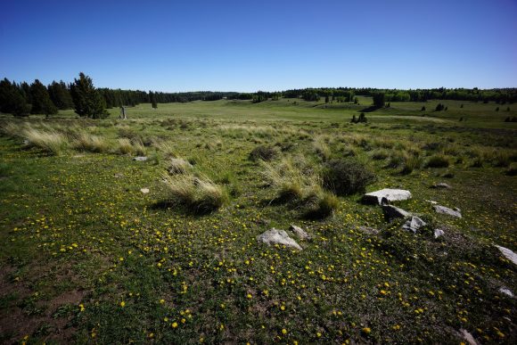
Above canjilon creek is a large open park. I saw about 5 more elk and a coyote as I passed through. I was considering camping here based on the map, but now here in person, I don’t see anywhere and want to camp.
I pushed on over the high point for today, 10,433ft. I was looking for campsites at this point but being picky. I do this to myself looking for the perfect campsite. However, I must say it’s a great technique for getting in extra miles in the evening. I didn’t stop until about 8:30 pm. Wanted to get in a lot of miles over the next couple days so I don’t get into town so late on Thursday, making it a lighter day.
Full moon and coyotes howling. Off to bed.
Miles – 29.7
Total Miles – 689.5
Rain – no
Sleep – backcountry, tent
Animals – elk, coyote
Tuesday May 29th – CDT Day 39
I slept pretty decent last night, rested up for another big day.
This mornings hike was much like yesterday. Ups and downs, forest, occasional view of a field.
Mid morning, I passed sequoia. Unfortunately camel had to bail yesterday due to sickness. He was able to hitch to Chama from the upper canjilon lake area. If it hadn’t been memorial day, there probably wouldn’t have been anyone up there.
This mornings water source was the Rio Vallecitos. Nice flowing creek with knee deep water, some pools with trout. Ate first lunch here as well.
More forest, small fields. I kept busy by looking at the ground for rocks. Every day I have a couple to add to the collection. I have at least a pound of rocks on me now, haha. I’ll send them and the others in my bounce box home when I get to Chama.
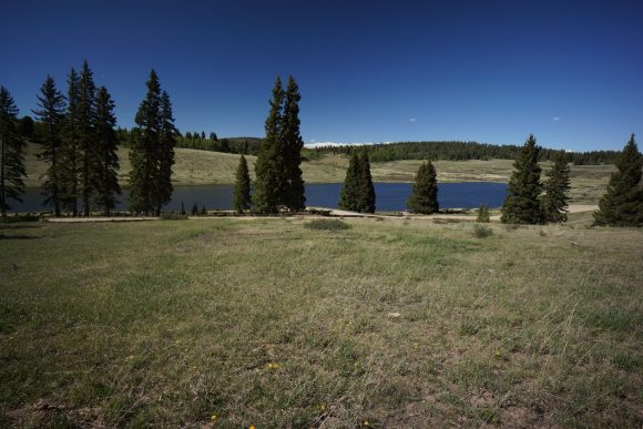
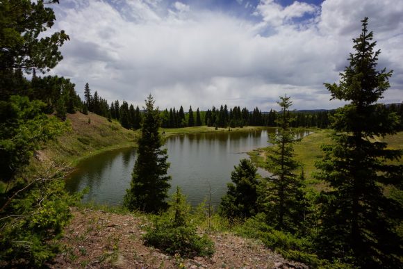
Late afternoon I passed hopewell lake and hwy 64. Man made Lake, but still very scenic.
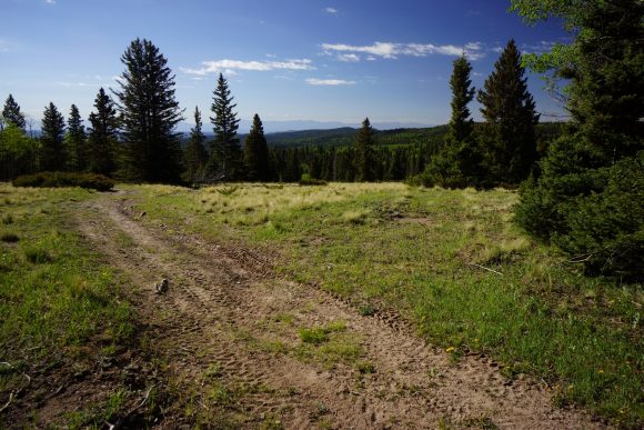
After hwy 64, the trail passes through a couple of meadows, and starts climbing up hill. It’s on a dirt road for quite a while.
This evening I passed Cracker. I hadn’t seen him since Doc Campbell’s! Glad to see he’s still on trail and doing well. We chatted for a while and sequoia showed up as well. We all wanted to get in another mile or two tonight, and I was the first to leave as I intended on 4 more.
Nice hike this evening. Some more rolling Hills and larger fields. I saw two elk along the tree line just before dark.
Around 8:15 pm I found camp in the tree line at the top of a saddle. A 30 mile day, whew. Feet are tired at the end of the day but in the morning I’m good to go.
Wow, so I was laying in my tent writing in my journal when I got buzzed by two planes! Didn’t get a chance to poke my head out and get a glimpse, but they were super low and very loud. Pretty cool!
Miles – 30.6
Total Miles – 720.1
Rain – no
Sleep – backcountry, tent
Animals – elk
Wednesday May 30th – CDT Day 40
Woke up to scattered clouds, which has not been typical of New Mexico. Lots of mosquitoes too, just like last night.
Not long after leaving camp, I saw 2 elk. I’ve lost track how many I’ve seen total now.
A few more miles of forest and meadows, and the trail reaches a ravine with a small stream. I followed it to the valley floor and pulled 3L, ate some food. Nice little place to stop.
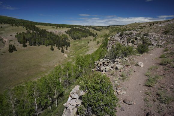
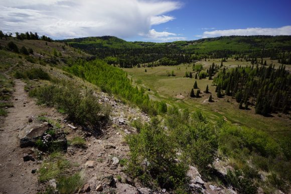
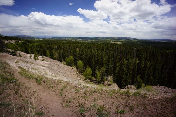
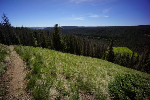
Next, the trail climbs very steeply up to a ridge above the Rio San Antonio. As the trail begins heading northwest, the Valley really opens up. Great view, definitely starting to resemble Colorado now.
Back into the forest, I was getting attacked by mosquitoes. I have no bug spray, didn’t think I’d need it this soon. Black flies are out too. Instead free been using Adobe of my Dr Bronners magic soap. It’s peppermint scented, which I believe keeps bugs away. It definitely seems to work.
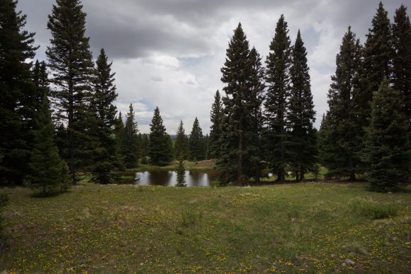
Next I passed through the lagunitas lakes area. It’s a bunch of smaller lakes and ponds on this shelf, with a few campgrounds alongside. There were actually several people out here. A guy driving his truck up to one of the campgrounds slowed down as he passed and waved his fist, in a “I know you’re hiking the CDT, kick some ass” fashion. I did the same, and laughed a little.
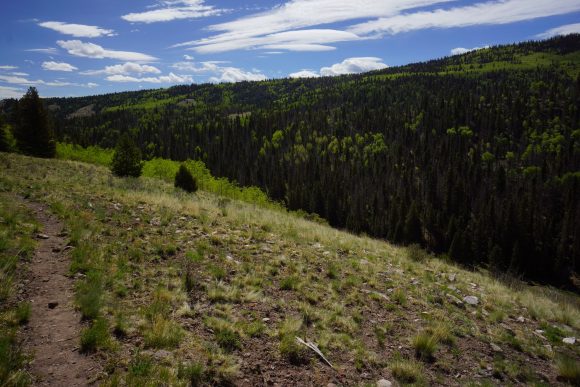
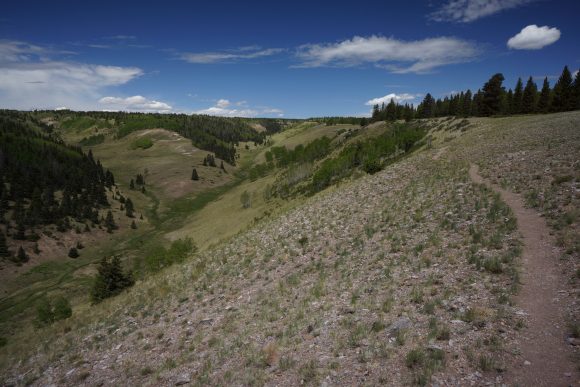
The trail then climbs a ridge and skirts the side of the steep slopes. Big views. I can get used to this.
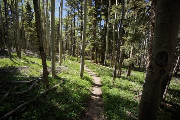
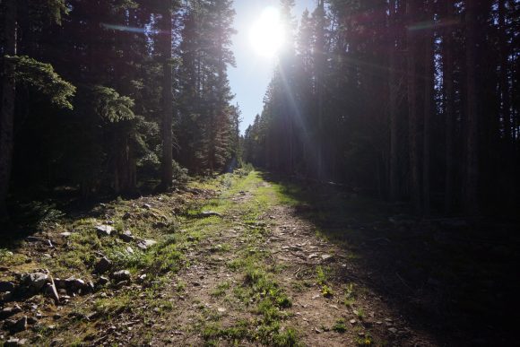
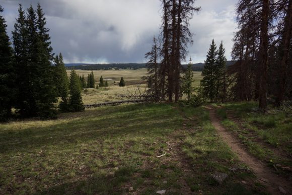
Then the trail drops back down into the forest for a good while. The way the light shines through the trees is calming. I still haven’t mastered forest photos though.
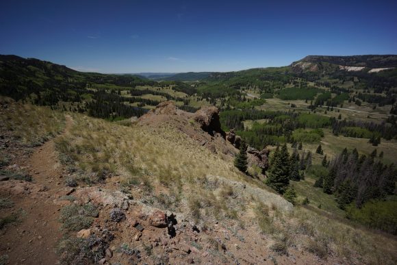
After the forest the trail winds up high above a valley again. The east fork Rio Brazos flows here. Snow can be senn on the mountains to the north, although much less than in years past. It’s a low snow year in Colorado.
Storm clouds are Brewing all around, but I’ve avoided rain all day so far. Typical weather for Colorado in the summer, and I’m only about 12 miles from the border now.
The trail then drops down to a saddle where a forest road weeds. It’s a scenic overlook, and a trailhead for the Cruces Basin wilderness. I sat on a log here and ate second lunch. Nobody drove by. I don’t think there are any trails in this wilderness, so I’m pretty sure nobody visit it. Like most of New Mexico. The only non-CDT hikers I saw in the entire state we’re in the Gila, between little bear Canyon and Jordan Hot Springs. It just feels like us CDT hikers have the entire state to ourselves.
After traversing a rocky Ridgeline for a while, it’s downhill towards a stream. My next water source, and hopeful campsite location.
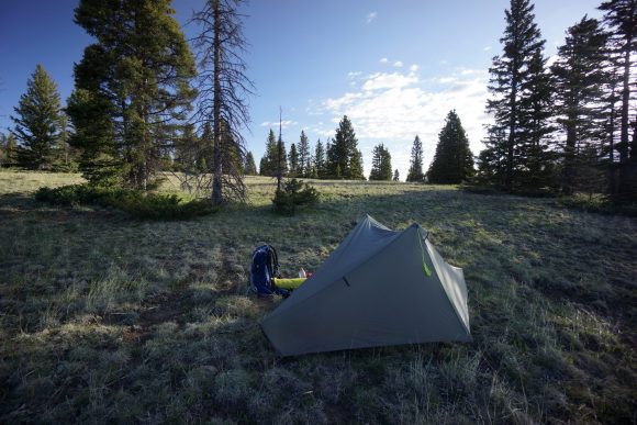
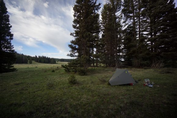
The skies were looking pretty dark all around now. I made it to the stream around 6pm and found a nice campsite alongside it. I set up my tent first in case it rained, but it never did. This was the earliest I’ve gotten to camp in a long time, I can’t remember anything earlier actually.
I soaked my feet in the steam, which was ice cold. Filtered water, cleaned up, ate and relaxed next to the sound of flowing water. As I sat up from dinner, I scared off an elk that was hanging out about 100ft behind my tent.
This is my last night in New Mexico. Hard to believe! I’ll save the reflections for tomorrow. I’m off to bed.
Miles – 23.2
Total Miles – 743.3
Rain – no
Sleep – backcountry, tent
Animals – elk
Thursday May 31st – CDT Day 41
Last night was cold. One pair of socks were frozen, the other I brought in the tent, but were still wet this morning. Not used to this after so long in the desert. I just packed up all my things as quick as possible so I could get moving and generate some heat.
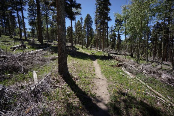
Saw 2 more elk this morning as I broke down camp. Walked Through the large clearing just below camp and from there the trail starts climbing again. Not all that much to see this morning really. Dirt roads, forests with a lot of downed trees to step over. This morning was really all about reaching the Border of Colorado as soon as possible, so I had more time in Chama.
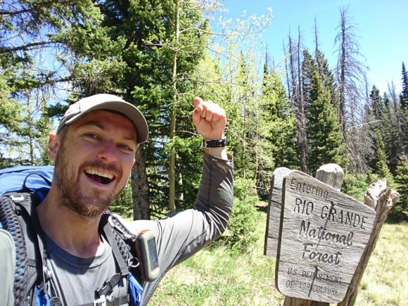
I made it to the underwhelming state line around 11am. It’s just a barbed wire fence along a hillside, with a sign saying entering Rio Grande National Forest. Still, a big milestone. I’ve hiked 750 miles through New Mexico to get here!
After crossing the barbed wire fence and walking a few yards to the Treeline, I was presented with a big sweeping view of Colorado. Below I could see Highway 17 and cumbres pass, now only 3 miles away. There’s a train that runs up and down cumbres pass that had just left as well, with a big black plume of smoke giving away its location.
When I reached cumbres pass, I began the arduous task of hitchhiking. There wasn’t a whole lot of traffic, but in reality I was lucky with maybe the 7th or so car stopping for me. All in all it took maybe 20 minutes.
Hitchhiking is a new experience for me, and I’ve always heard you meet a lot of interesting characters in the process. This was definitely the case! Really interesting guy, works 54 days a year preparing taxes on the east coast and then drives around the country having fun for the rest of the year.
After being dropped off at the Y Motel, I walked to the post office to retrieve my bounce box. It didn’t reach the motel, the post office just held it in general delivery. Huh. At least I got it.
It was an hour walk to the post office and back, and since I don’t only eaten breakfast and a light snack I was pretty damn hungry at this point. I stopped in to the High Country Restaurant for lunch. Good food and great service!
Back at the hotel, I had a wicked food coma and a bit of a headache. I rested for a while before starting to backup all my pictures and GoPro video onto my laptop. Then I went to hang out with some other hikers in another room, and headed up to the Chama Grill for dinner.
Miles – 12
Total Miles – 755.5
Rain – no
Sleep – hotel
Animals – elk
Friday June 1st – CDT Day 42 (zero day)
Walked up to the RV park across the street and did laundry this morning. Ate breakfast at the Chama Grill.
Spent much of the afternoon working on my blog and some online logistics. My backpack never arrived, and the tracking number showed it still had not left Georgia. I called the company I purchased it from and they said they shipped it on the 29th. It’s in the post office’s hands now.
I bought my food for the stretch to Pagosa Springs from the store across the street, and picked up a DiGiorno pizza for dinner. My room at the motel has an oven, so why not? Later I hung out with Bugs, Shawn, Katie & Becca. We played this game when the dice are pigs and the way the pigs lay after rolled determines how many points you get. And drank whiskey.
Miles – 0
Total Miles – 755.5
Rain – no
Sleep – hotel
Animals – none
Saturday June 2nd – CDT Day 43 (zero day)
This morning I woke up and worked on my blog for a while.
Ralph, a local trail angel, was giving hikers rides to Cumbress Pass, and gave a few of us rides to the post office on his way. I decided to check and see if my package was at the post office, even though the tracking number said it hasn’t arrived yet from Albuquerque, its last stop at 3am. Sure enough, they had it!
It was now around 11am. There’s no way I could get back on trail today as planned, since I still had so much to do. Most importantly, mail back my old backpack, 40 degree sleeping bag, etc. Post office closes at noon today, so I’ll have to wait until 8am Monday. It sucks that I am being pushed back 2 extra days, but on the other hand, there is supposed to be a big storm tomorrow, so I’ll avoid being caught out in that. Also, 2 more days for snow to melt in the mountains, making for easier passage.
Ralph picked us up on his way back down from Cumbress Pass, and took us back to the motel. I reluctantly paid for two more nights.
I walked up to the barber shop to get a haircut, but it was closed. Oh well, maybe in Pagosa Springs.
Early evening, I was hanging out on the motel patio with Sprinkler. A couple of non-CDT hikers were hanging out in a room nearby, on a fishing trip. They offered us some beer which we gladly accepted.
With our livers primed, Sprinkler and I headed up to the saloon across the street for beers and dinner. Good food, good times.
Miles – 0
Total Miles – 755.5
Rain – no
Sleep – hotel
Animals – none
Sunday June 3rd – CDT Day 44
Woke up today to dark clouds and rain, just as forecasted. I ate breakfast at Finas Diner with Music then came back to my motel room to get ready for tomorrow.
I started fooling around with my new backpack, moving over straps and little customizations added in the past. I noticed the hip belt wasn’t really any smaller than my old backpack, and checked the tag… LARGE! Wtf, I ordered a medium to replace my old large! Ugh, they sent me the wrong size.
I contacted the company I bought it from, Going Gear in Smyrna, GA. Even though they were closed today, I was lucky and got ahold of someone there who was able to send me an RMA label. I had the motel print it out for me and I’ll return it tomorrow morning on my way out of town. But, I wasted two full days sitting around waiting on this package. Had to pay for two more days of hotel, food, etc. More importantly, it set me back two full days. The bright side is, I avoided a major storm and had two more days for snow to melt out in the high mountains.
I spent the rest of the day getting my food together and other little chores. Ready to get out of town and hit the trail again.
Miles – 0
Total Miles – 755.5
Rain – yes
Sleep – hotel
Animals – none






Wow! Quite a trip so far! To bad about the back pack though. Of course this happens when you really need it! Sounds like you are in heaven Eric! Please be careful and looking forward to your next blog! Love you!❤️❤️❤️❤️😘
June 12, 2018 at 6:13 pm