Chama to Pagosa Springs – CDT Thru Hike 2018
Continental Divide Trail – Chama to Pagosa Springs Hike Overview
This section has been the most difficult of the hike thusfar. More snow, highest elevation, most climbing, wettest, muddiest and all-around toughest hiking yet. But also, the most beautiful and impressive mountain scenery so far. Welcome to Colorado, snow and high mountains. Climb high, stay high! And that’s exactly what the trail does here. It follows the highest possible route without dropping down into valleys. That’s the spirit of the CDT, and this section is trial by fire.
Monday June 4th – CDT Day 45
At breakfast at the Chama grill, then got a ride to the post office from Ralph, a local Trail angel. Set my bounce box to Lake City, sent home some gear, and returned the backpack I bought.
We squeezed 7 people I believe into Ralph’s pickup truck for the ride up to cumbress pass. We arrived at the pass around 9am and I started hiking shortly after. Not bad, more of an early start then I was expecting.
The trail start climbing immediately north of the pass. It was a good hike with increasingly good scenery. Before long the sound of the highway faded and only the sounds of nature remained.
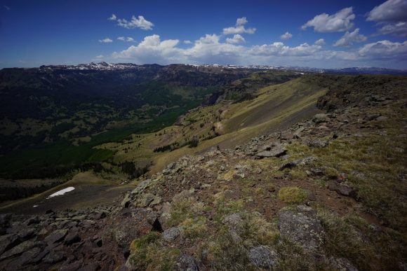
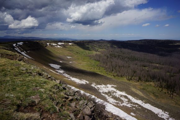
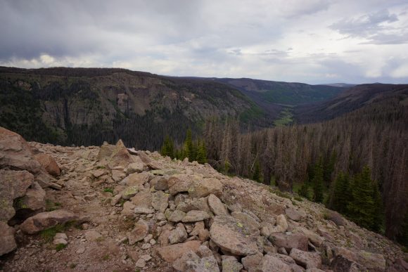
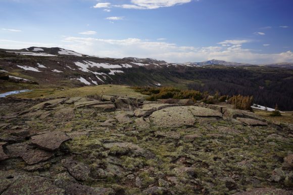
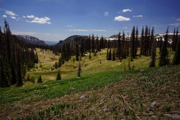
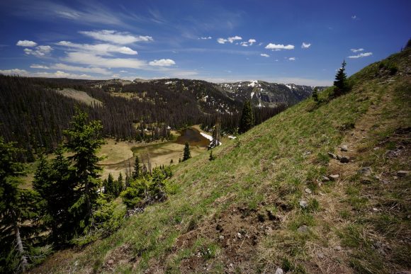
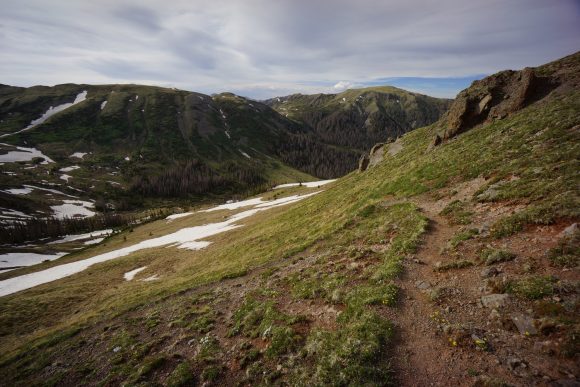
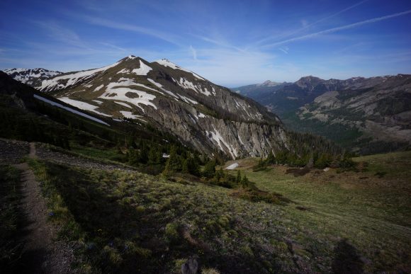
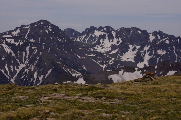
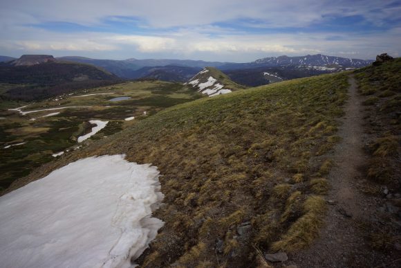
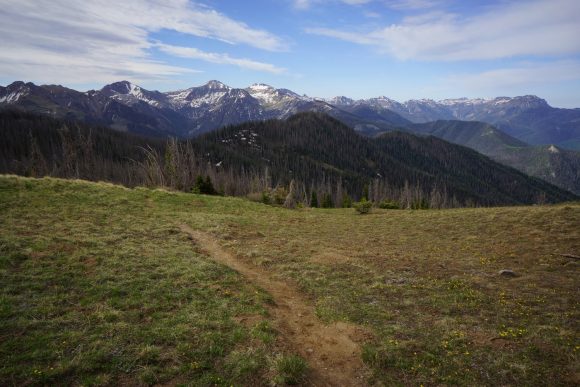
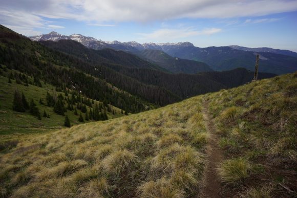
The trail reaches a ridge that overlooks a valley below. Snow capped peaks can be seen in the distance. Woohoo, finally in the high mountains!
The trail continues to climb along the side of a mountain. Eventually it reaches a pass, the first real Mountain pass of the trip. Seems like a good place to stop for first lunch. I hate the remainder of a triple cheeseburger I had for lunch yesterday. I actually ordered two triple cheeseburger combo meals, trying my best to fatten up while in town.
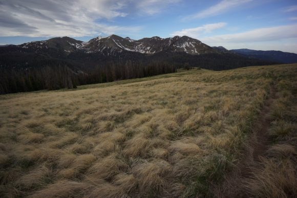
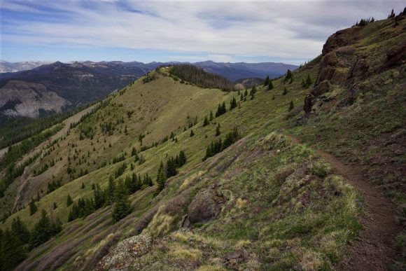
After lunch, the trail continues to climb a long a Ridgeline. At this point it’s really starting to look like the CDT I was expecting. It felt really good to finally be here.
The trail continues to climb to today’s High Point at around 12200 ft. This is the highest point on trail to date. Once again, awesome views. My pace slowed for a while here as I took pictures and video.
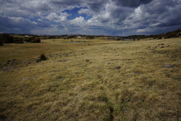
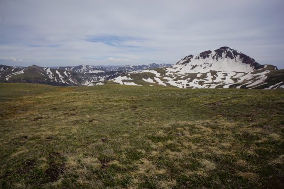
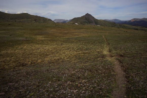
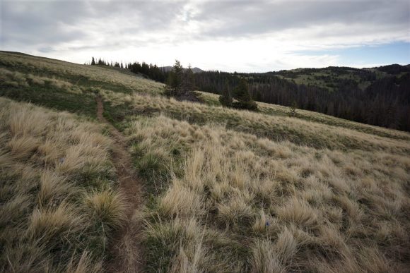
Next the trail trends downhill slightly. It’s amazing that at this elevation there are such large open Meadows.
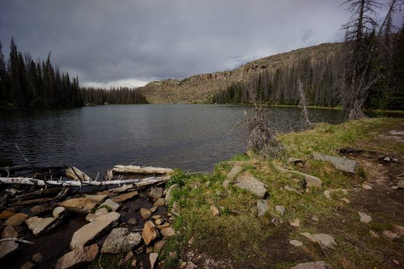
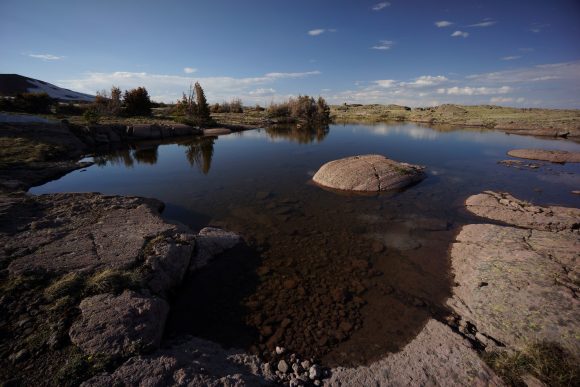
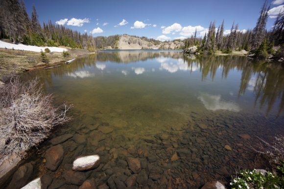
Next the trail passes dipping lakes. The first Lake was pretty scenic, with rocky cliff alongside the water. I stopped to filter water and eat second lunch.
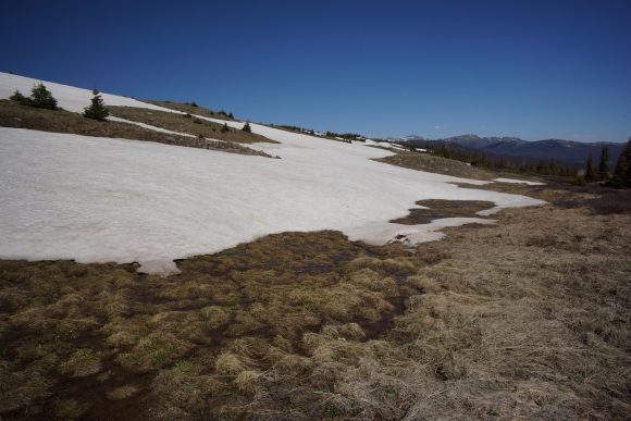
The trail passes the other dipping Lakes and then begins an 800 ft climb. Around this point the trail became much more difficult. Patches of snow, lot of melt water making it nearly impossible to avoid getting my feet wet. This continued for the rest of the evening.
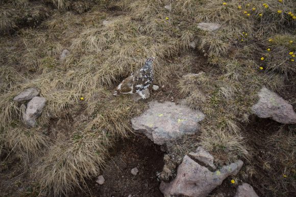
Now I’m traversing a shelf above a cirque. More snow here and very wet. I saw a Ptarmigan, marmots and pikas while hiking here. First of all three so far on the CDT.
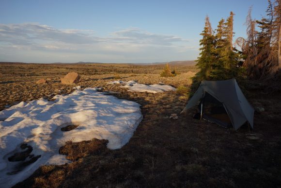
I reached Trail Lake around 7:30, my goal for the day. I camped on a hill before the lake, no view of it. This was 22 miles by my GPS in roughly 20 miles on the guthook app.
I’m pretty tired today, going to blame this on the additional elevation. It’s 12000 ft here at Camp. Last week I did two 30 mi days back to back at 10,000 ft, but in my experience I don’t feel the effects of elevation until around 12000 feet. The next two hundred plus miles are going to be above 11 thousand feet, so I’ve got my work cut out for me.
Alright, bedtime. Time to try out my new 20 degree quilt.
Miles – 22
Total Miles – 777
Rain – no
Sleep – backcountry, tent
Animals – marmots, pika, Ptarmigan
Tuesday June 5th – CDT Day 46
Woke up with the sun on my tent a little after 6. Calm night, I was expecting it to be more windy up high up here and exposed. Got up in the middle of the night to pee and damn, the stars and milky way were bright!
After leaving camp, the trail climbs above trail lake. Someone else had camped here the night before, which I could see from my campsite.
Above trail lake is a pass at 12,320ft. Great view. It’s Rocky and wet.
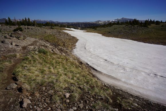
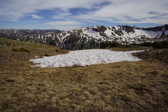
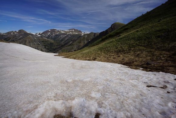
I descend a little and cross a large snow field, then skirt the side of a hillside for a while.
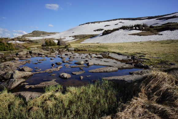
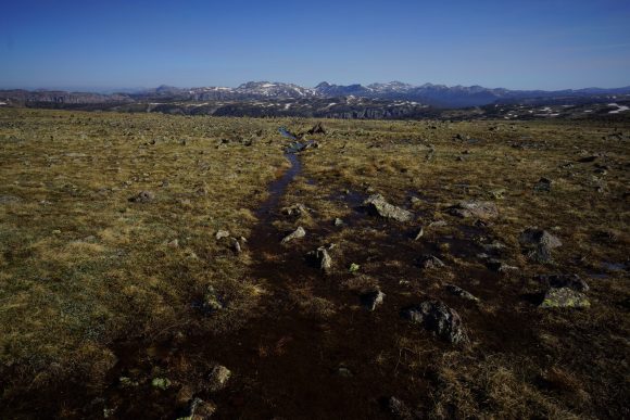
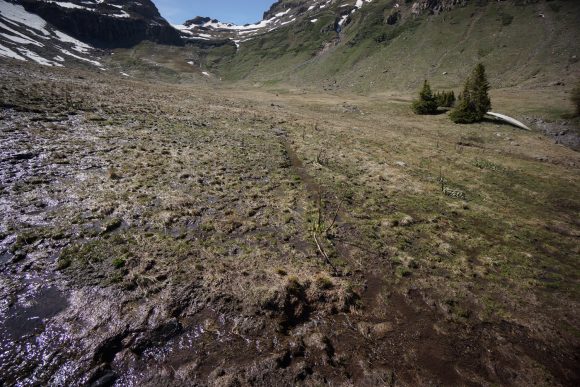
The trail then passes through a large meadow. It’s really wet here too, lots of streams and ponds from the snow melt.
Is been slow going today. Partly because of how beautiful it is, and also the terrain. Early season obstacles like snow, fields of water and mud make progress a real chore. There are few sections where I can cover ground quickly.
I had first lunch at blue lake. What an original name. Time to filter water too. Ugh I should be farther along today.
After lunch, I postholed through some patches of snow along blue lake. Fun stuff. Then the trail climbs above the lake and a small pond.
More scenic ponds, hillsides and valleys. Everywhere I went it was beautiful. There wasn’t a boring section of trail all day.
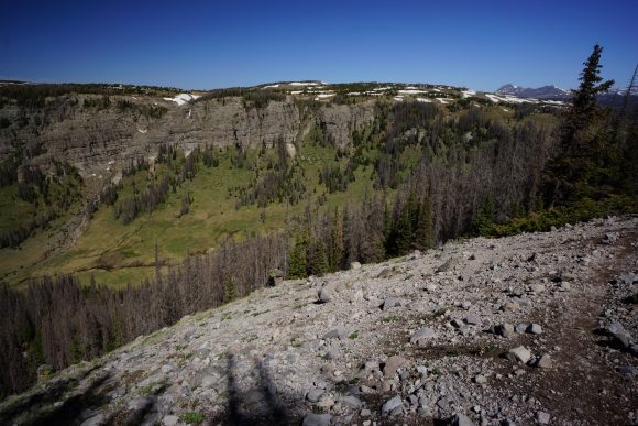
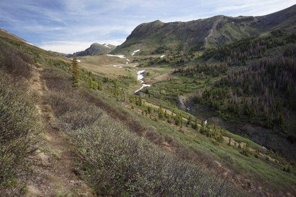
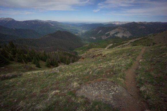
Next I had a big climb. I traversed a mountainside with a great view of the valley below, containing the Navajo River.
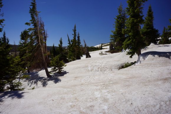
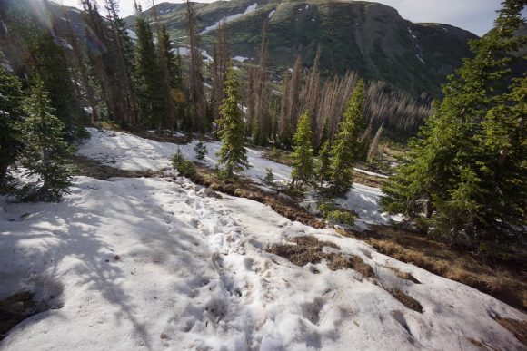
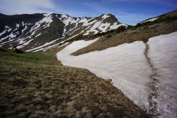
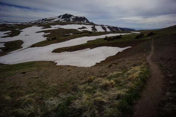
The climb continues up a ridge, with snow now becoming more plentiful. Patches of snow and large areas of water force reroutes, as has been the case all day. The switchbacks can get annoying, and since they’re often lost in the snow I’ve just been going straight uphill.
The trail reaches 12100ft and there’s an awesome view of a new set of mountains. Lots of snow up here.
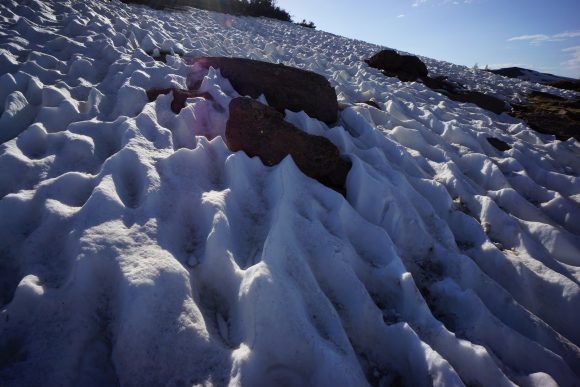
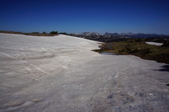
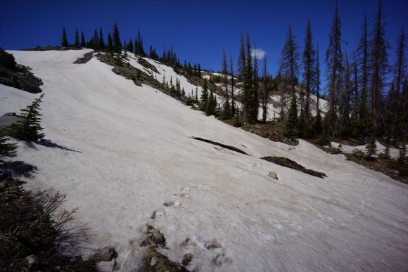
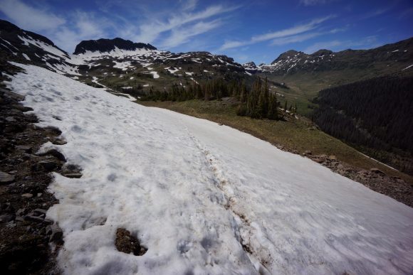
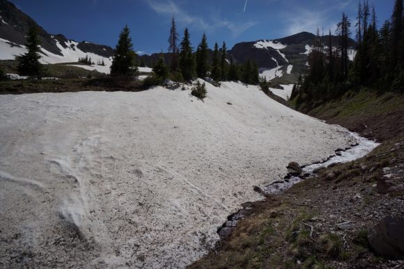
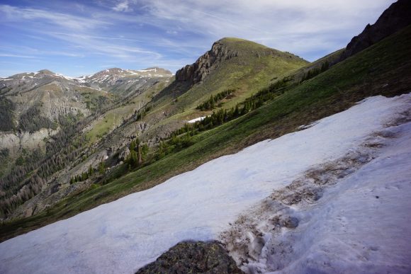
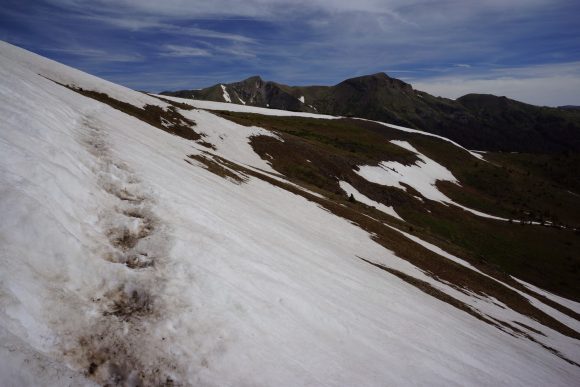
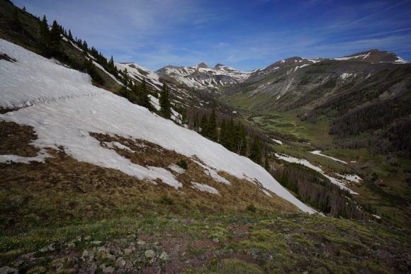
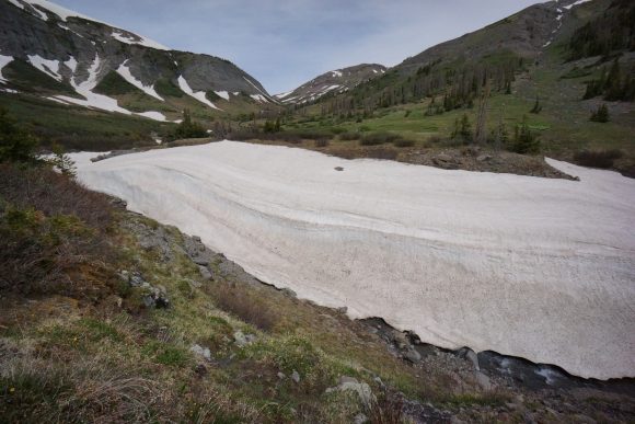
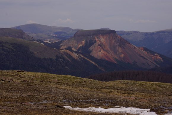
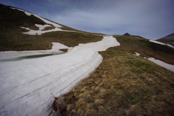
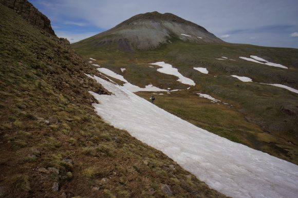
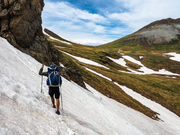
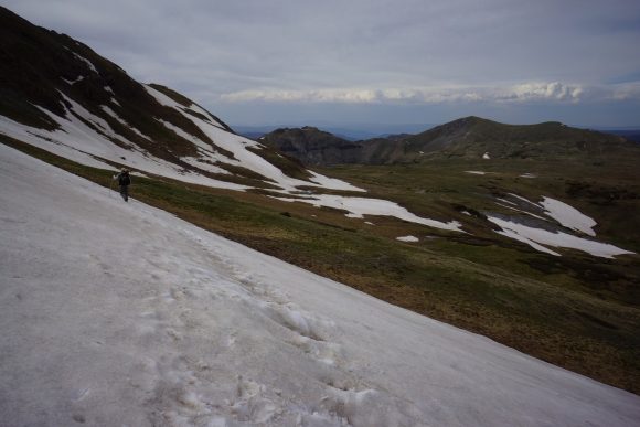
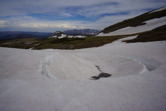
Now the trail drops downhill along a huge slab of snow. Fortunately I can walk around it. I go straight downhill again, avoiding the intermittent switchbacks where I can. It’s wet and muddy if it’s not snow. Really stunning backdrop though! The pictures don’t do it justice. This is the valley containing the middle fork conejos river.
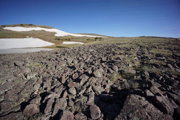
This area was beautiful, but also very tough going. Numerous snow fields to cross. I was postholing in the snow, and getting soaked walking through anywhere that wasn’t snow. It was also really Rocky again, making all non snow travel slow. I got my ass kicked hiking through here.
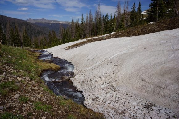
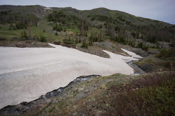
Before I could leave the worst of the snow behind, I had to cross a river, or cross the snow bridge over it. There were footprint over it all I followed suit. Success. Just as well, falling in would bad news.
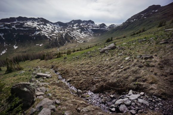
I worked my way around a trail along the hillside of the valley, crossing many more streams and postholing through snow patches. Lots of mud too, deeper than you’d think.
I took second lunch at upper reaches of the valley. Man, I am really whooped now. Still almost 8 more guthook miles till I hit my 20. That’s not happening. I let my feet air out for the first time today. Good thing, they were wet, wrinkled and tender.
After lunch, another climb of about 900ft in 1.2 miles. Great views of the snowy mountainside I just traversed on the other side of the valley.
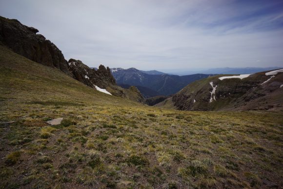
A new landscape reveals itself as I reached the pass. I worked my way across a shelf before going over another small pass.
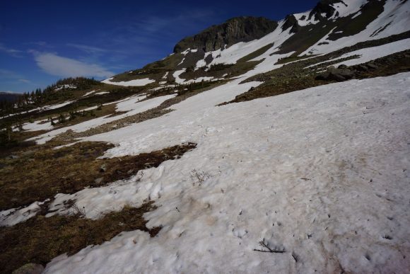
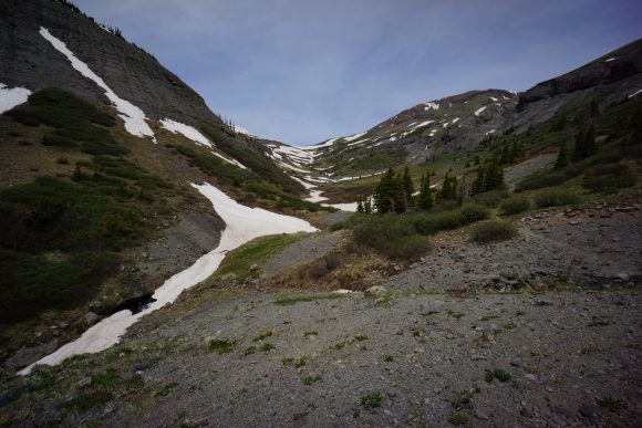
Incredible scenery as I descend the pass. It’s really steep going down. After a while, the terrain really starts to fight back. Lots of steep snow to traverse, postholing in many places now since it’s early evening. There was also lots of mud, causing me to slip again. I was getting really tired and frustrated.
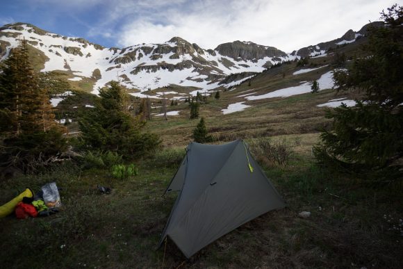
I made camp around 7pm. I found a spot high in the valley of the north fork conejos River. Another person is camped nearby, can’t see who.
Man I am tired. Today was beautiful but very hard. The terrain was an absolute nightmare. Type 2 fun all the way.
Miles – 19.6
Total Miles – 796.6
Rain – no
Sleep – backcountry, tent
Animals – marmots, Ptarmigan
Wednesday June 6th – CDT Day 47
Once again, the Sun shining in my tent woke me up. A beautiful morning in the cirque. Today will be an adventure.
Sprinkler had camped nearby last night, as well as DG (delayed gratification) which I would later find out. All left camp before me.
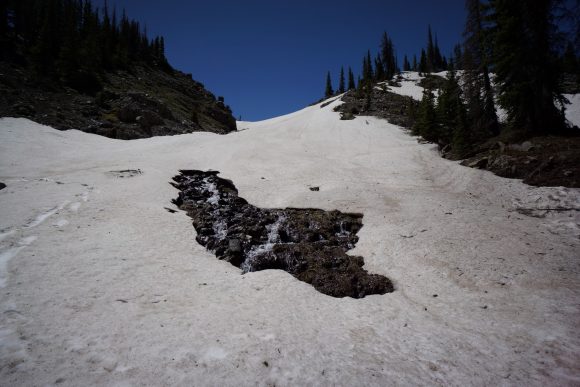
After leaving camp, I crossed a small stream running under snow, one of many today. These are crossed by walking over a snow bridge. You never know if it will hold. The snow pack and the severity of the potential fall into the stream below varied greatly.
I hiked around a a hillside, wading through thick bushes. Otherwise, the trail was pretty manageable for the first couple miles.
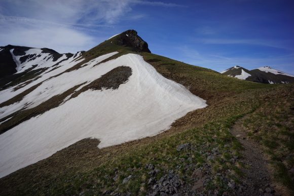
It’s a steady climb to the top of a pass, one of many today. The trail stays high and encounters a lot of snow. For now, no postholing.
Next the trail skirts a steep hillside above Adams Fork Conejos River Valley. Had to cross several really steep slopes of snow. Did someone say death drop? Awesome views though.
This was a long valley, the only one of the day really. Near where the trail drops down and crosses the Adams Fork canejos river, there’s a huge amount of snow remaining alongside a section of River. Maybe 30 or 40 ft high. I crossed up stream.
I caught up with Sprinkler above the river crossing. Nice hike up the rest of the Valley. I stopped for first lunch near the top.
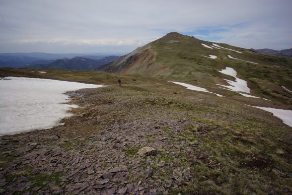
Finished the climb up out of the valley. The trail had a pretty different feel the rest of the day now, it just stays high.
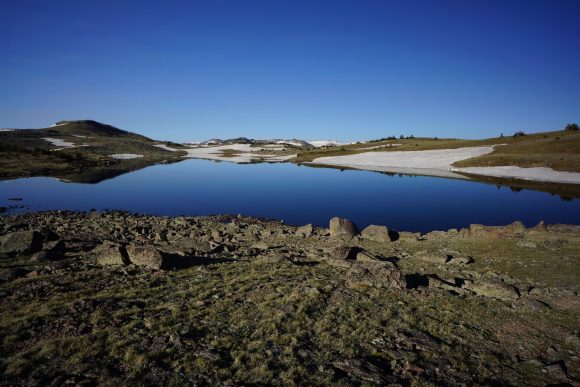
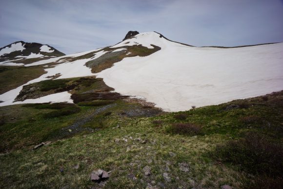
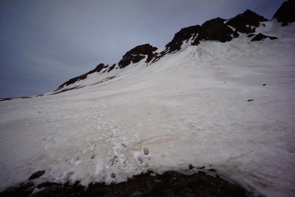
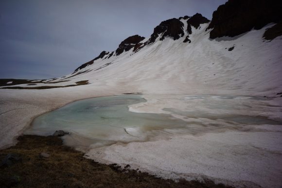
After the trail turns to the north Face of Summit peak, there was a massive snow field to cross. Fairly steep and a long way down. Amongst the most snow I’ve seen on Trail yet. At the end of the snow field is a partially frozen Blue Lake.
From here to Trail climbs up another Ridgeline leading to the Crux of today’s hike, the segment between Chama and Pagosa Springs, and the entire see CDT thus far. There’s and extremely deep slope of snow. The kind where you can’t see over the edge. Beyonce and frito head just turned away and decided to head back and look for a way down the valley. Sprinkler and DG were both here trying to figure out what to do. DG climbed the hill above looking for a way around, but no go. It’s either cross this super sketchy slope or turn around and spend basically the rest of the day working around it somehow by dropping down into the valley.
Sprinkler had full fledged crampons, and tackled it first. He disappeared over a line of sight edge as I was putting on my micro spikes. DG was just behind him. Everyone was tense. Sprinkler made it across, and DG went ahead of me. He had an ice axe, but no spikes or crampons. There’s a break in the snow halfway through, DG made it. Now my turn.This was the first time I used my Micro spikes, and although the snow was slushy, I appreciated the extra grip over my trail runners alone.
Once we all made it across, it was a good feeling. That was the steepest slope of snow I’ve ever crossed. We carried on, all at a somewhat similar pace now.
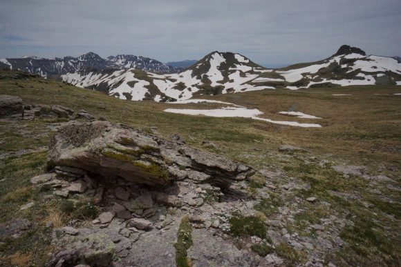
The trail then does some ups and downs through high alpine fields, Ridgelines and passes. Sprinkler, DG and I stopped to eat second lunch around 4pm. We all agreed on trying to reach Elwood pass at the very least tonight, and hopefully a few more miles. It was another 4.4 miles, according to guthook.
We made good progress through this next section. Some decent sections of trail that allowed for fast passage, finally. Occasional patches of snow, some big some small. Lots more mud and flooded fields. But still somehow faster than earlier today.
Once down at Elwood pass, we realized there wasn’t much here. I filtered water and ate dinner. Sprinkler one on first so he could get to camp and cook dinner there. DG took the road that paralled the ridge I’m going to take. With all the clouds today, he didn’t want to be up on that Ridgeline in case it got Windy. Very valid point, but I’m going to roll the dice.
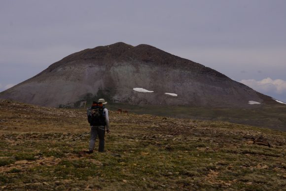
I enjoyed the walk up on the Ridgeline. I saw three Elk in a field tonight, and another later on. I made it 2.8 miles past Elwood pass before finding a campsite around 8pm.
Beautiful sunset, but just be on the trees. No Clear view, bummer.
Today was a good day. 14.8 miles to wolf Creek past tomorrow, my ticket into Pagosa Springs. Really looking forward to that!
Miles – 20.5
Total Miles – 817.1
Rain – no
Sleep – backcountry, tent
Animals – elk
Thursday June 7th – CDT Day 48
Up at 6:15am, hiking by 7. Cool and a little windy, Grey skies still.
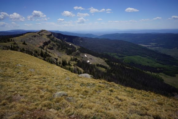
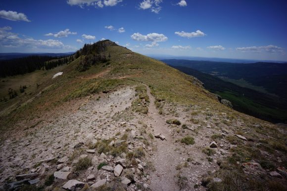
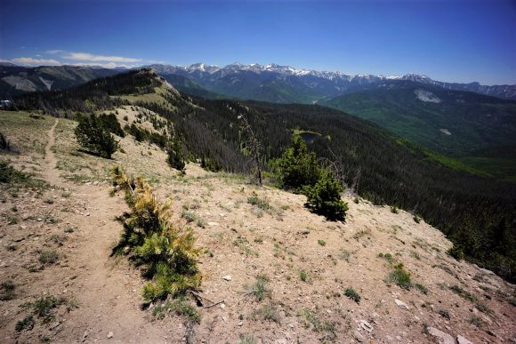
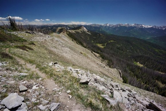
This morning was a nice hike. The CDT stays high upon a Ridgeline. Mountains to the west had some snow.
Lack of water would be an issue today. There was no water since a couple miles past Elwood pass. I had 1.5L for the day, and already dehydrated a little this morning.
Saw a couple of deer in an opening along the Ridgeline. Haven’t seen many deer so far on the CDT, mostly elk.
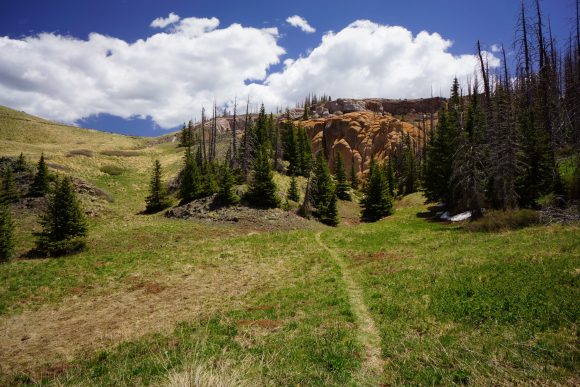
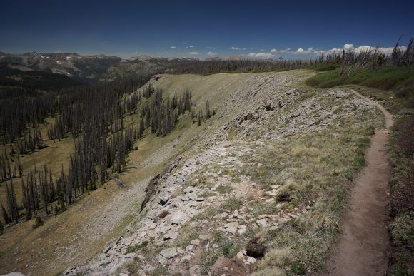
The trail was completely different today. None of the big snow fields, snow capped peaks or wet trail of yesterday. Ok, a few wet spots, but my feet were dry all day. Even though the elevation was similar to the snow covered mountains of the last two days, the trail resembled a lower elevation ecosystem. This allowed for faster miles today.
The trail was skirting a steep mountainside when I found and interesting rock. A milky turquoise looking blob encased by a sedimentary conglomerate. I used another rock to break off the sedimentary part. I broke open the turquoise blob and exposed a crystal center. A geode! Cool find.
The trail follows many ridgelines today and generally is heading down to a low point just below 11k feet at silver pass. I ate first lunch here. Only lunch, actually. Going to do the last 8 miles to wolf creek pass in one go. Here I’ll hitch onto Pagosa springs to resupply.
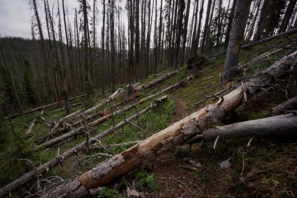
After lunch, the trail climbs most of the rest of the day. Lots of downed trees in the forest sections. Lots. And the detours around them can be a pain… Over, under, around and any which way.
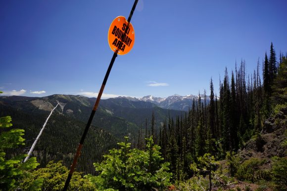
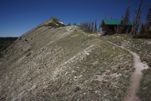
The trail passes above a water reservoir, then climbs a ridge that follows the border of the wolf creek ski area. Really windy, but also really great views all the way up and around Alberta peak.
I made it to wolf creek pass at 2pm. There was a state trooper at the pass checking semi trucks for something. I Googled the legalities of hitchhiking in Colorado and determined I was good in this instance. 150ft away from the trooper, I stuck my thumb out. A woman named Nancy stopped had just dropped off a hiker coming from Pagosa, and picked me up on her way back. Perfect, only took a few minutes.
In town, I got a motel room at the pinewood inn. I showered up then DG stopped by. We ate lunch at Kip’s cantina. Triple bacon cheese burger and chips… No problem. Sprinkler showed up and joined us. Turns out he’s staying two rooms down at the pinewood.
I had a double bed room at the motel, and DG split the room with me for the night. Later, sprinkler joined us for dinner and beers at the riff raff brewery. Good times.
Will do town stuff tomorrow… Laundry, food resupply, post office and packages, etc.
Miles – 15.7
Total Miles – 832.8
Rain – no
Sleep – motel
Animals – elk, deer, marmot
Friday June 8th – CDT Day 49 (zero day)
The Continental breakfast selection at the motel was sparse, so I headed out on search of a real breakfast establishment. The Rose had a line out the door, so I went to the peak Cafe instead.
Got a lot done today, at least it felt that way. Had to make a couple calls to get a few things sorted back in the real world, hit up some local shops for a few things to send back to friends and family at home, went to the grocery store for food resupply to Lake City, and hit the post office. Had to mail back some Darn Tough socks for warranty, but they held up pretty well… the whole state of New Mexico basically.
Later I ate dinner with sprinkler and Alan at the Malt Shop. The 1lb “challenger” burger was no challenge at all.
Went back to the motel and finished packing my food. Hoping to do the next section in 6 days, but bringing food for 7
Miles – 0
Total Miles – 832.8
Rain – no
Sleep – motel
Animals – deer










Leave a Reply