Basin and Range Trail Thru Hike 2020 – Section 6: Eureka to Lamoille
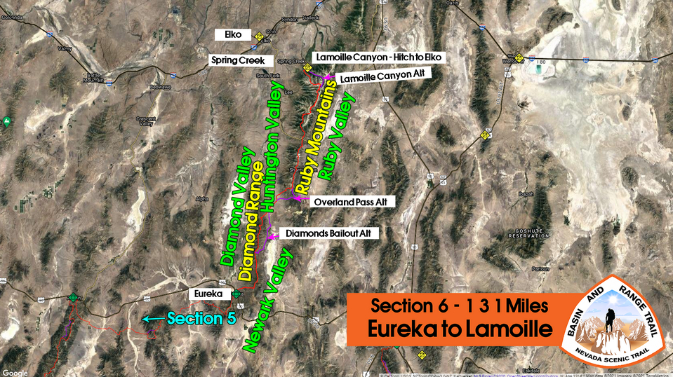
Basin and Range Trail Thru Hike Section 6 Map
Video: Basin and Range Trail Thru Hike Section 6
In addition to this trail journal, I also filmed my Basin and Range Trail thru hike. I’ve produced a detailed documentary series (11+ hours runtime) documenting this thru hike adventure, the product of over 1,000 hours of video editing. I highly recommending watching the Basin and Range Trail vlog series for an in-depth look at thru-hiking the Great Basin and central Nevada.
Basin and Range Trail Thru Hike Section 6 Journal
Day 37 – July 7th: Diamond Mountians
Started hiking at 9am. When I checked out of the hotel, the woman who works the front desk wished me good luck on my hike, and mentioned that she wanted to hike the Pacific Rim Trail. I always kind of crack up when people Call it The Rim Trail instead of the crest trail. Still, it’s an admirable goal and I told her I’d be rooting for her.
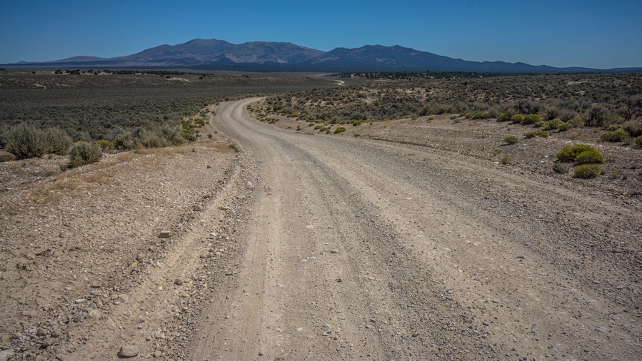
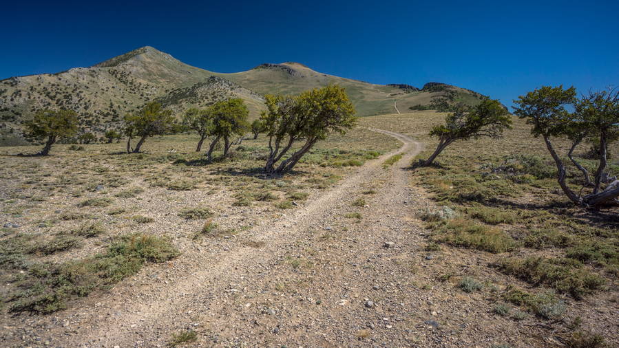
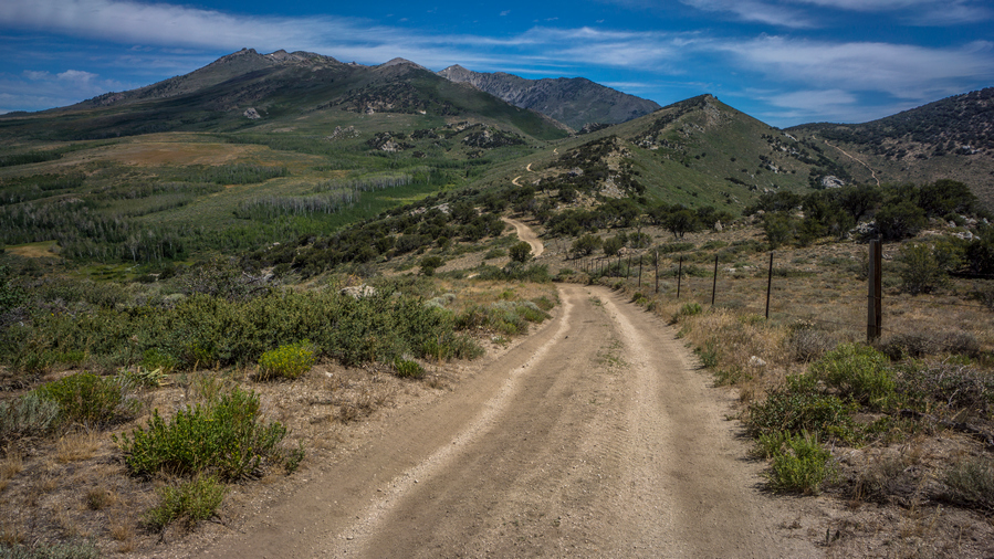
It was a short walk out of Eureka as it was only a few blocks before I turned off the main road and began a climb up and around a small hill. So, it felt like it only took about 10 minutes to get out of town. Now it was a dirt road that makes its way towards Diamond Peak and the Diamond Range.
I had been excited about this section for a while. The Diamond Range and Ruby Mountains both have gemstone names, they’ve gotta be pretty good, right?
Simpson Creek had water, but it looked very nasty. There were a bunch of cows here, and oddly enough, they kind of follow you around, of course with a fence blocking them in. Normally, they run as soon as they see you. These cows wanted attention.
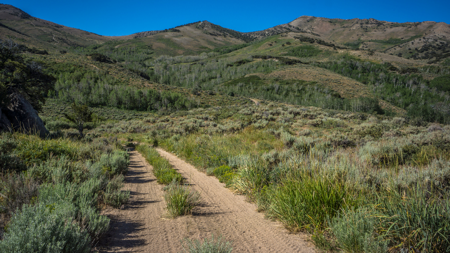
The road begins to climb after leaving the ranch that Simpson Creek passes through. Very slowly though, which is a great way to ease into the first day out of town.
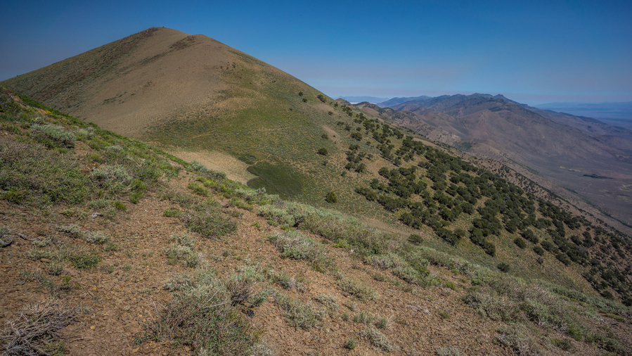
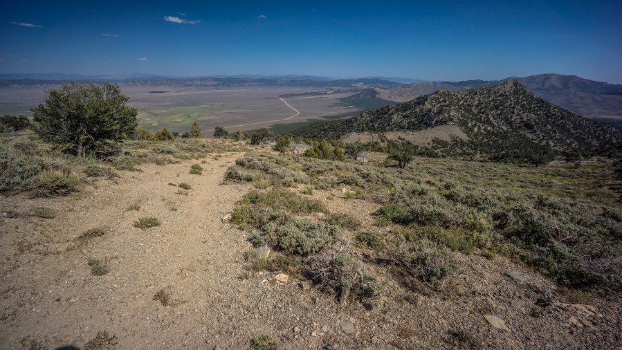
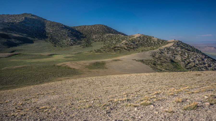
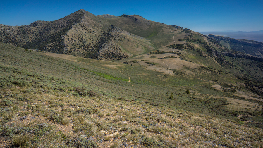
The diamond mountains don’t look like much from below. Plain, Brown, and maybe a little green. Not too Rocky or Jagged. The lower reaches of the road had some trees, but they quickly fizzle out. I normally hike in roughly two hour blocks, in between breaks. I was ready for a break, but there was no shade now. So I just had on the road and took my break anyway after about two and a half hours.
Now the road begins to climb a little steeper. There’s a water source marked on my map just above, but I have to Contour around a whole side to shortcut around a road. This was off Trail, through Sagebrush.
When I reached the saddle I could see cows at Diamond Spring. That’s good, almost guarantees water. When I got there, I was pleasantly surprised to see a pipe with water flowing out. No trough, no muddy puddles, no cow shit to deal with. Just Clear water running out of a pipe, easy to collect from. This is nice little break spot.
After leaving this spring, the road gets extremely steep. Fortunately, it doesn’t last all that long. It brings you to a Saddle, with an excellent view. Now I’m on the crest of the Diamond range. Woohoo!
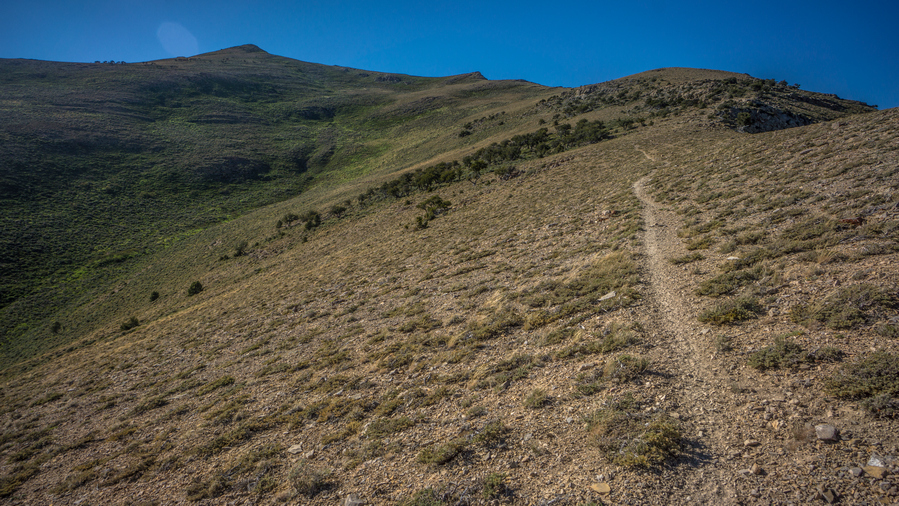
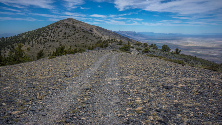
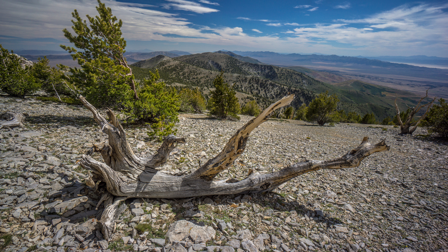
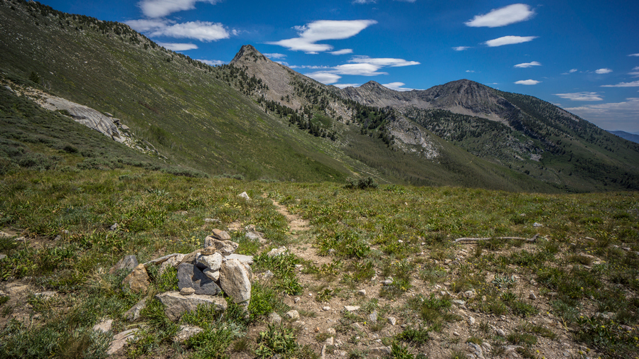
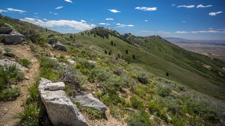
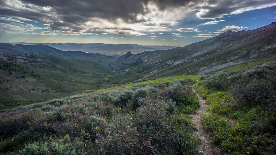
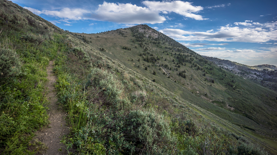
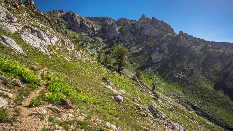
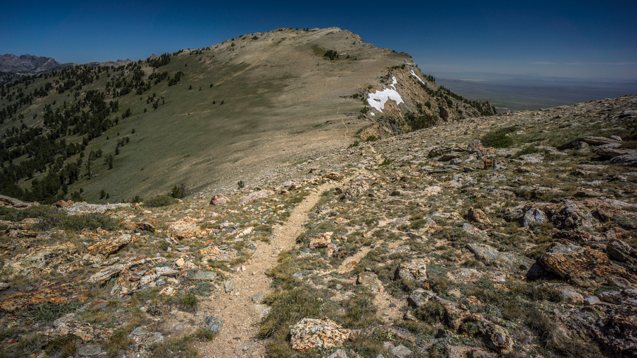
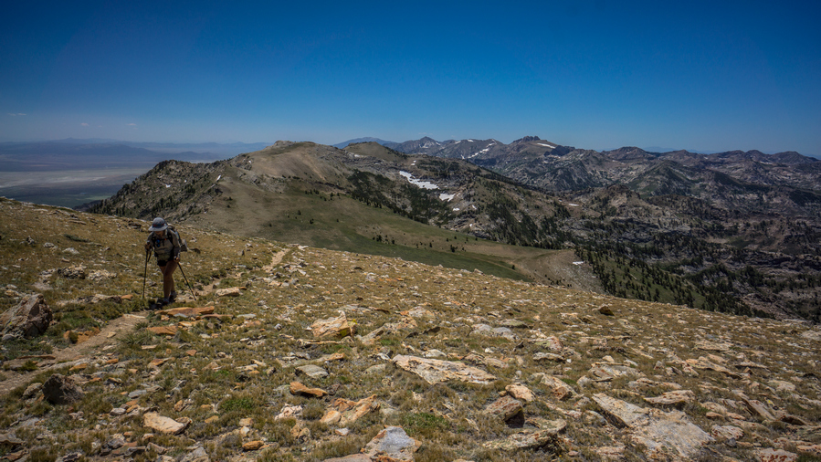
I was surprised to see a pretty good Trail here, since there is none marked on the map. There was even a cairn marking it. Now the trail follows the top of the ridgeline. Fairly easy walking with very good views. It was hard to make progress because it was so pleasant, the scenery was distracting me.
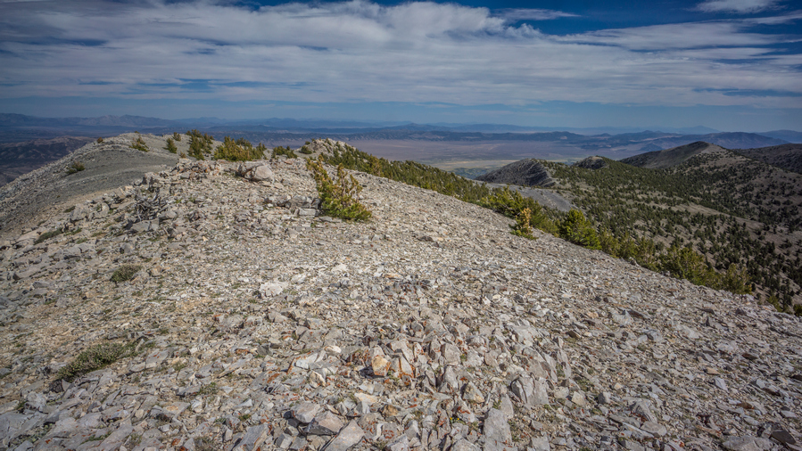
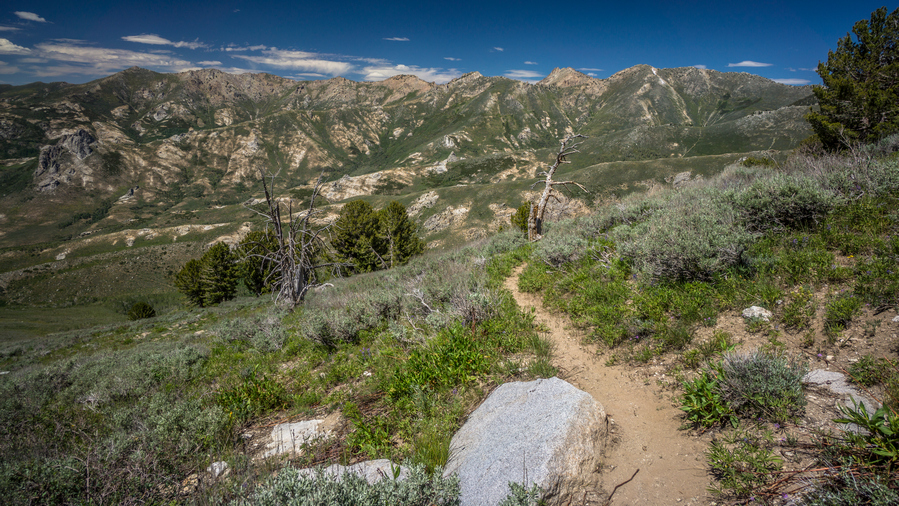
Then the trail fades out as it goes over some rougher terrain. Horse trails lead the way, but even they fade out, and you’re left to put together your own route in between small segments of easy walking. In other words, this was pretty good hiking for the Basin and Range Trail.
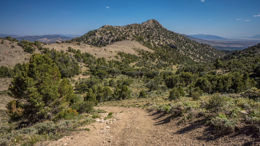
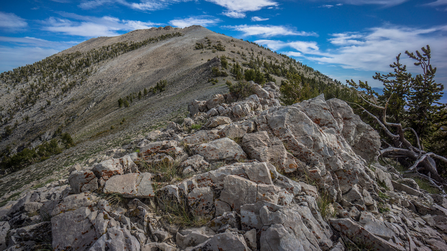
Closer to Diamond Peak, the scenery was excellent. I was more impressed with the diamond Range so far than I had anticipated.
Once at the base of Diamond Peak, there were game trails that appear to skirt the side of the peak. This looks a lot more appealing then going up and over at the moment, with 8 days of food and 5L of water on my back.
I skirted around Diamond Peak, and continued to follow the game trails. I was expecting them to leave me up to the top of the ridge at some point, after the Ridgeline loses elevation. However, that never happened. Horse trails became faint and continue to traverse increasingly steep terrain. Eventually, I realized my best route forward was to just head straight up to the ridgeline below Diamond Peak. A 30 minute climb up a steep slope and I was there.
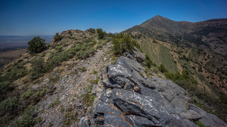
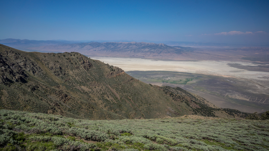
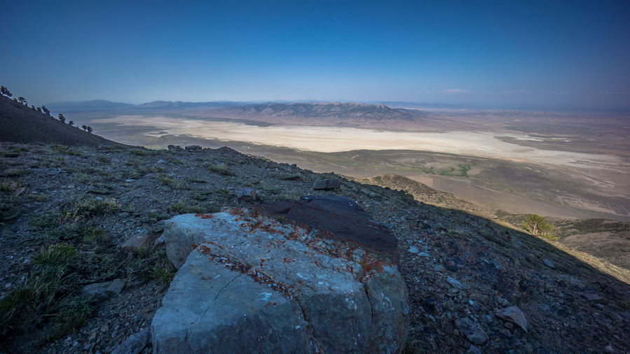
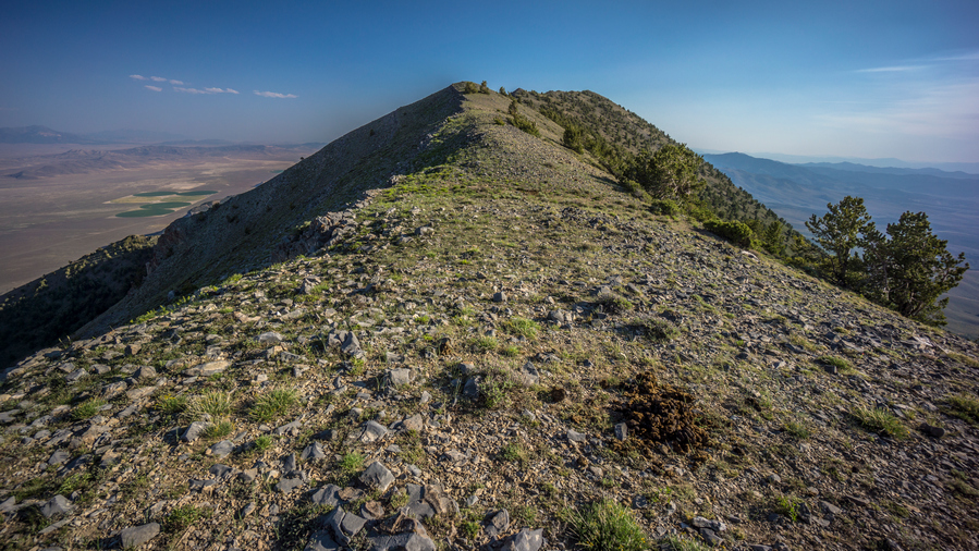
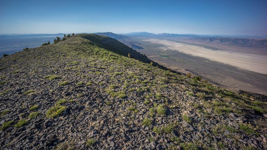
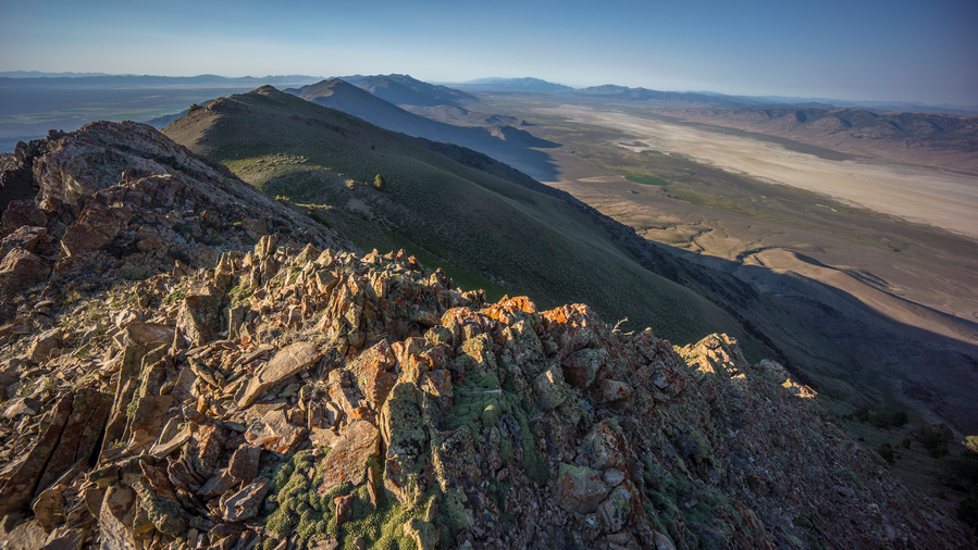
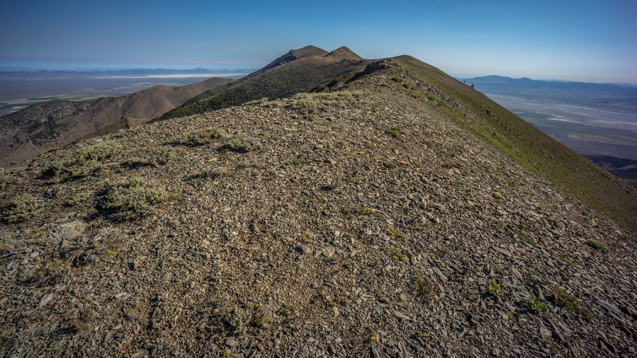
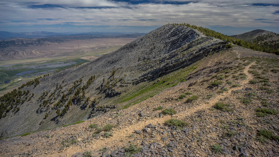
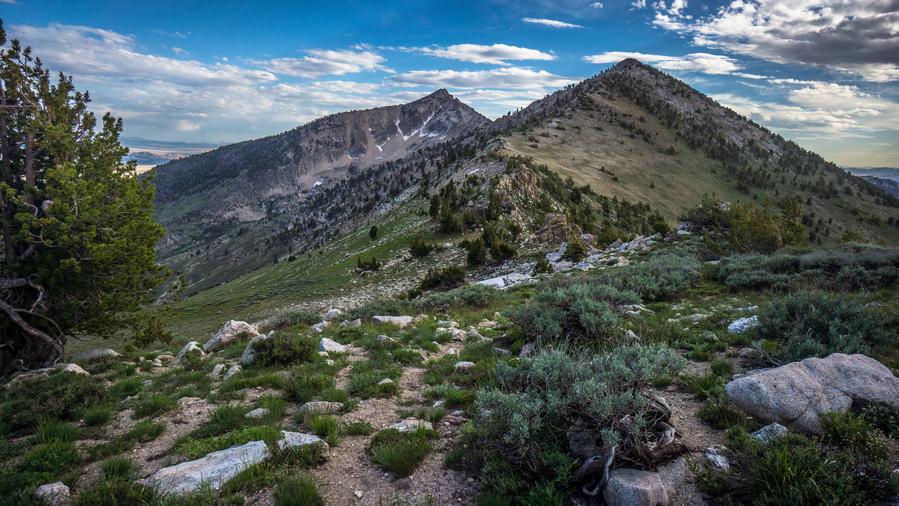
Now on the crest of the diamond range again. It was around 6pm now, a very pleasant time to be up here and walk the ridge. It was very Smokey today, forest fires burning west in California. The walking on the ridge alternates between easy challenging. The horse trails generally do a good job of avoiding the steepest terrain, but they also fade out often and leave you not sure which way to go.
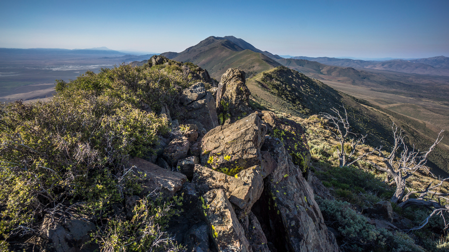
Sometimes, the Ridgelines turned into a knife edge or very undesirable climbing. I had to backtrack a bit at times, as well as climb down some steep and loose chutes. I saw one pronghorn as I made my way around one of the game trails. Also, I had 4G service all day.
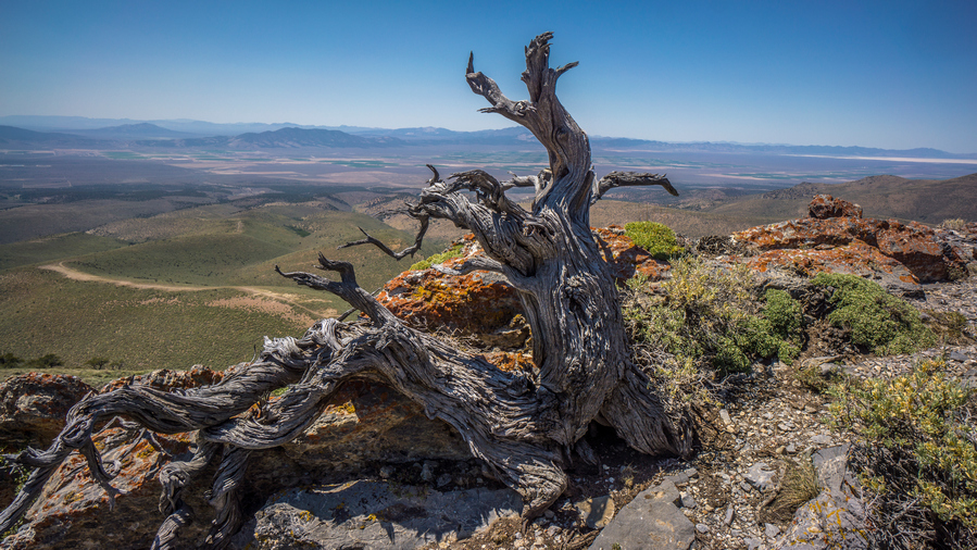
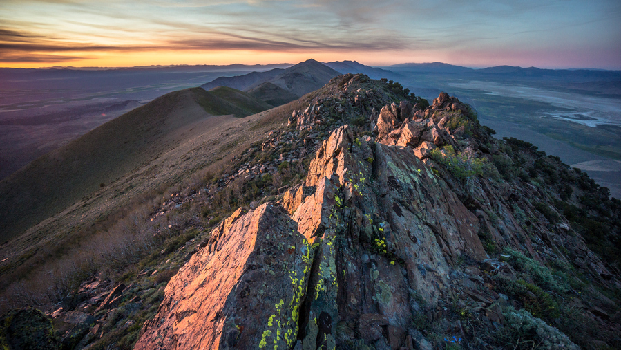
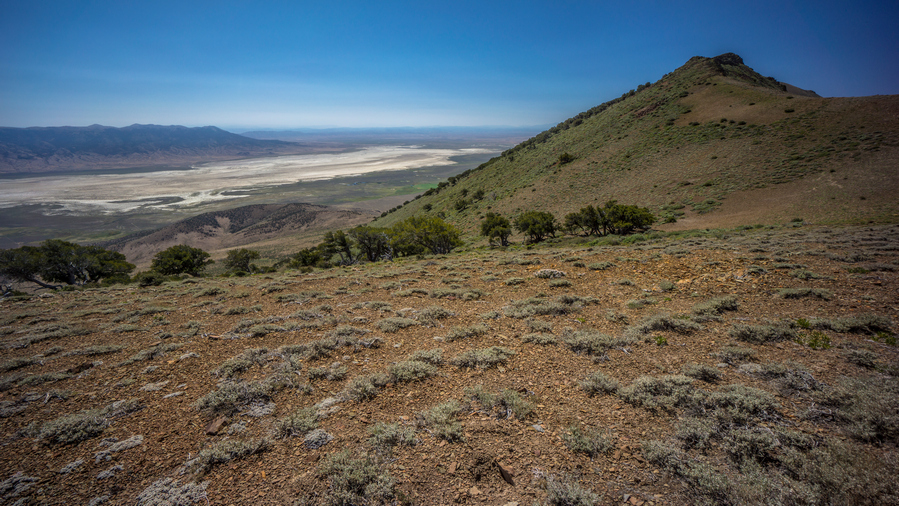
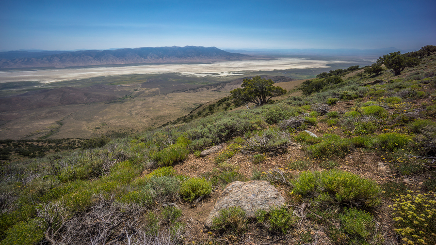
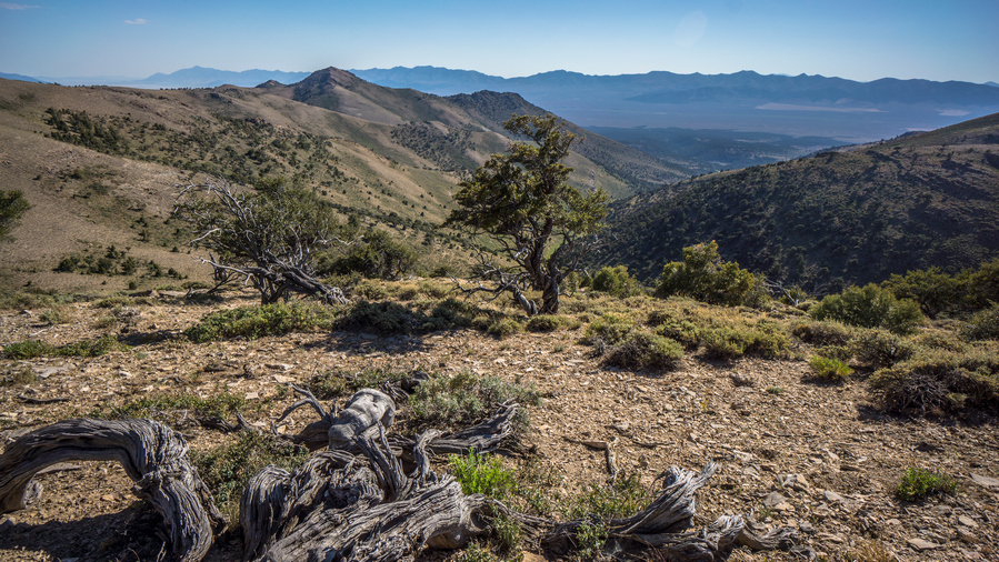
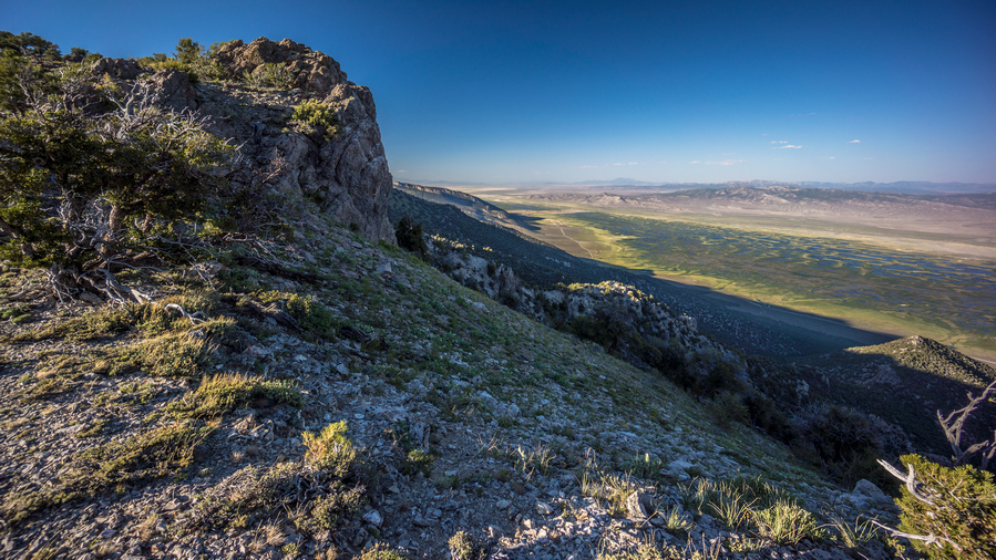
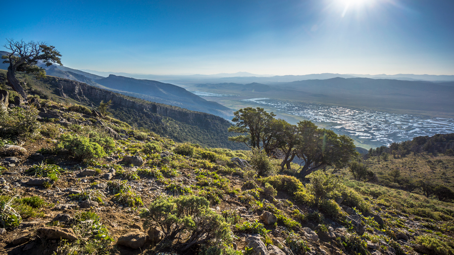
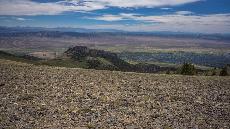
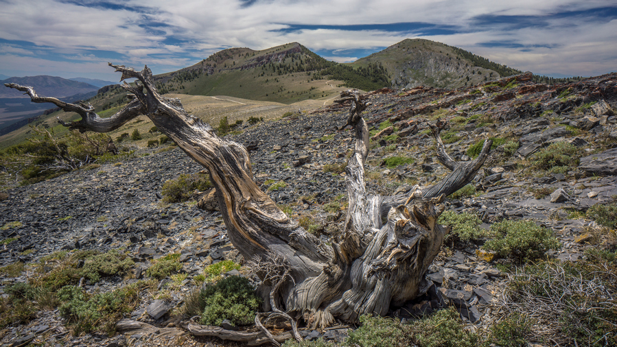
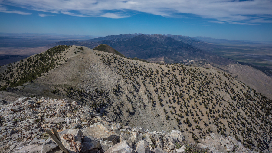
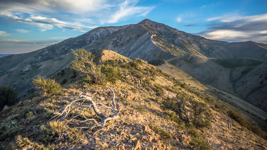
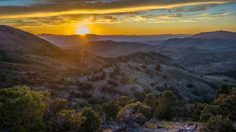
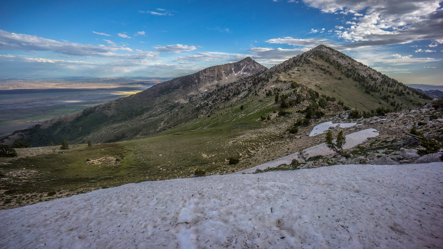
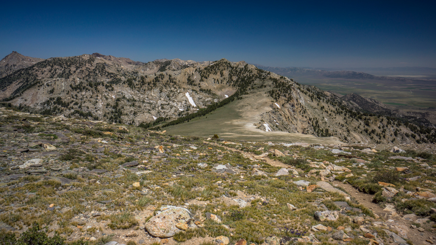
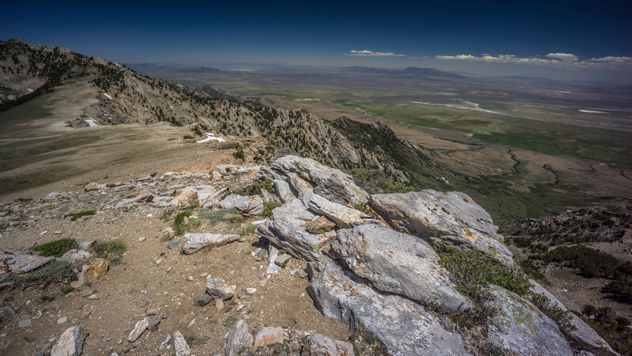
The views hiking the crest of the Diamond Range were excellent all evening. This is the kind of thing I dreamed of when I was planning this route. Up high on the spine of a mountain range, straddling two massive, desolate valleys on both sides, hiking to sunset. And here I am, living that dream.
As the sun started going down, I found myself on somewhat of a knife Edge Ridge. Very Rocky and steep. Once I had a bunch of thick trees, and that’s the side I ended up hiking. This was just as the sun was going down below the horizon. Then I made it to a saddle, which did have a flat spot that I could have camped on. But of course, I kept going. Followed a game trail along the hill side until it was almost dark. I was on the crest again, going downhill now.
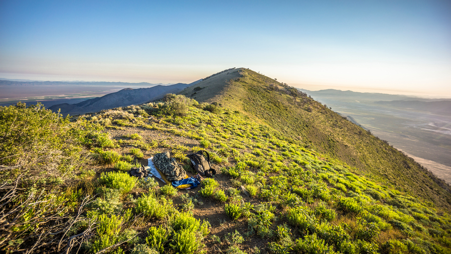
Finally, I found a spot. Sub par, but it will get me through the night. It was just on the side of the crest that is protected from the wind, about 3 ft down below the crest and protected by a small bush. The ground was actually flat too. It was windy though, so I needed this protection, even if it was very minor.
I set up camp as quickly as possible, and got in my sleeping bag. I cowboy camped tonight, no room for a tent and too windy for it anyways. I was literally camping on the crest, with a 360 degree view. Amazing.
Day 38 – July 8th: Diamond Mountains, Newark Valley
The wind died down about an hour after I went to bed. Lots of Lights shining in both Diamond Valley and Newark Valley. I remember seeing the earliest rays of light started to rise over the mountains, with the rest of the sky still black. Too early for me. Then woke exactly at 6 with the sun on me. Hiking by 6:45.
Followed The Ridge, and horse trails. Walked for 10 or 15 minutes before realizing I was at the spring on the map, the first one of only two along the entire Diamond Mountains route. I would need to drop wayyy down off the ridge to reach it though, and since I had a little over two liters, that wasn’t necessary. Instead, I’ll push on to the spring that is about 8 air miles away. There was also some flat spots on the saddle where I could have camped, if only I pushed 10 minutes further last night.
Next I followed a horse trail well below the crest. Eventually though, I had to reach the top of the crest, so it was a climb straight up the hill side. Walked the rest of the ridge for a while, before needing to choose the east or west side of the crest to drop down, and try to follow game trails. The east side of the crest looks less steep and Jagged, so that’s what I chose.
I didn’t see any game trails on the east side at first, but then there was an obvious path. These game trails, they can be really solid and then Fade Into nothing in a matter of a few feet. Sometimes it worked out, other times was kind of horrible… Boulder fields, Sagebrush etc. The typical stuff I guess.
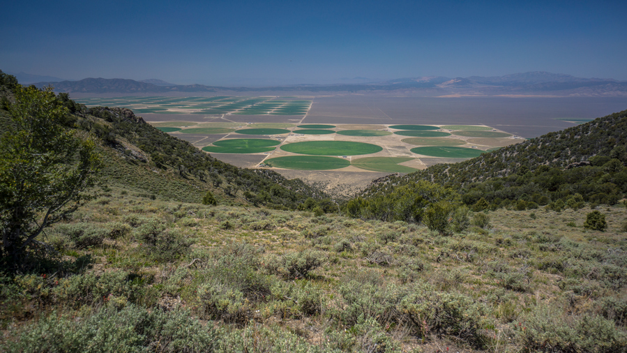
Saw an elk sitting under a tree a few hundred feet below me. Of course, he quickly ran away as soon as he saw and heard me. Diamond Valley on the West Side of the crest had a lot of Agriculture, large green circles pretty much spanned the valley at this point. On the east side is Newark Valley, still following the dry Lake bed, but agriculture in between the mountains and the lake bed now.
The game trails were intermittent. Even when they did exist, it was still a constant matter of fighting sagebrush. It wasn’t a fullon bushwhack, but there was enough vegetation to scrape, cut and stab my legs. Needless to say, the route along the crest of the Diamond Range is slow going, despite looking relatively easy from afar.
Eventually I reached the last Ridge before I had to drop down and get water from a spring. This was the last spring I had marked on my map until the end of the entire diamond range. Unfortunately it’s many hundreds of feet below the Ridgeline. From here I had a choice to make, follow the game trails to the east or west side of the ridge. I really wanted to be on the east side, that’s what the spring is. However, the game trails leading east looked pretty weak. They looked pretty strong on the west side, so that’s the route I took.
I was thinking I would be able to just follow a game Trail back to where I needed to go, on the east side of the ridge, but that didn’t work out. I realized the game trails were taking me a bit out of the way after I turned the corner around one side of the mountain. So, I had to go straight up the mountain side through very thick brush and trees. This part was awful. It was around this time when the Flies started getting really bad. They weren’t a problem or earlier today, or any other day, but all the sudden there were 40 or 50 flying around me at all times. Super annoying! To make matters worse, the brush was so thick going up that I had to put my pant legs on. Now I was protected a bit, but at a great cost… Sweating like crazy.
At the top of the ridge, I couldn’t really see this spring at all. The flies followed me over the ridge and we’re still all over me. Started making my way down the somewhat steep Hillside. It was mostly loose dirt and rock, smaller rock, the kind you could just dig your feet into, and kind of slide down the hill in a controlled manner
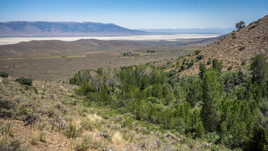
I could see a lot of thick green vegetation in the ravine, and this is where I was generally headed. I was super disappointed to see no water In the creek bed though when I reached it. To follow it downhill looks terrible, it looks really thick.
Eventually I reached a point where I couldn’t go any further. All directions, except up, we’re completely covered in thick green vegetation. It looks really, really thick! I put on my pant legs, and chose a spot that looked like it would be the shortest section of vegetation to traverse. I stumbled through it, getting snagged by all the branches, having to push many out of the way, before stumbling on a tiny trickle of water. However, vegetation was so thick here, there was nowhere to even bend down to touch the water, let alone collect it. I was getting cut up by Thorn bushes, covered with flies, hand in Tangled by the vegetation. What a nightmare.
After the bushwhack, there was still a lot of side-hilling to do, and I had a lot of debris in my shoes at this point. My feet were pretty sore and tender now from running on all of this debris while walking these steeply angled slopes. At the moment, I remember thinking that this Canyon was one of the worst experiences of the whole hike.
I walked along the Hillside, above the thick vegetation that choked the Ravine. As I dropped lower in elevation, I dropped down to the Ravine to check if there was water. It was dry. This was a bit devastating. I kept walking down hill, that’s all I could do. Closer to the bottom, I dropped down to the Ravine again to check. It’s really thick and hard to reach, but here I did find a little water. And, I actually had enough space to sit down next to the creek and filter water. Up high, I couldn’t even bend down to collect the water if I tried there was too much vegetation. It would have been more pleasant without the Flies, but still, it was shaded and there was water. I had to dig out a pool to collect from. There was a bunch of squiggly little swimmers in the water. I spent a good while here, filtering water and eating lunch. I chugged 2L of water and took one with me. I would have taken more but the map showed a lot of water coming up, now that Im down low in the valley and off the ridge.

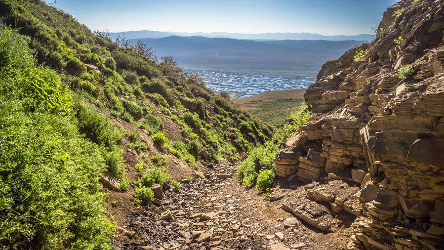
looking back up at the canyon I just came down. Doesn’t look like much, but man, what a pain that was.
I wasn’t far from the bottom of the canyon now. No way in hell I am going back up that Canyon. So I guess I am done walking the crest of the diamond mountains. I would have to carry my maximum water capacity, which was now 5L, plus one dirty water bottle. Instead, I’ll just have to walk the road through Newark valley around the northern section of the diamonds.
I was the google satellite images in my pre-hike planning to try and determine whether or not water would be at a marked spring, or anywhere else. However, in this section of the Diamond Mountains, the satellite imagery shows snow on the ground. This makes the satellite imagery useless for my needs, and adds to the difficulty of planning a route through the Diamond Range. However, after returning home from this hike, I found the ESRI satellite layer, which shows the Diamond range without snow. Using the ESRI layer, I was able to locate another spring that wouldn’t require dropping down over 1,000ft to reach it. This means for anyone else hiking the Basin and Range Trail, you shouldn’t have to drop down off the crest of the Diamonds as far as I did, and you should be able to stay high up on the crest for the remainder of the hike to Corta Spring, where the BRT would drop down off the ridge.
After filtering water, the rest of the hike down the canyon continued to be a pain in the ass. Eventually though, I reached a small little road that leads out of the canyon and into Newark Valley. For this I was very thankful.
Now I’m on a road that parallels the main road through Newark valley. The map shows several water sources here, such as fairy Dell. In reality, these were fenced off. I could have access them if I wanted, but didn’t really need to at this point.
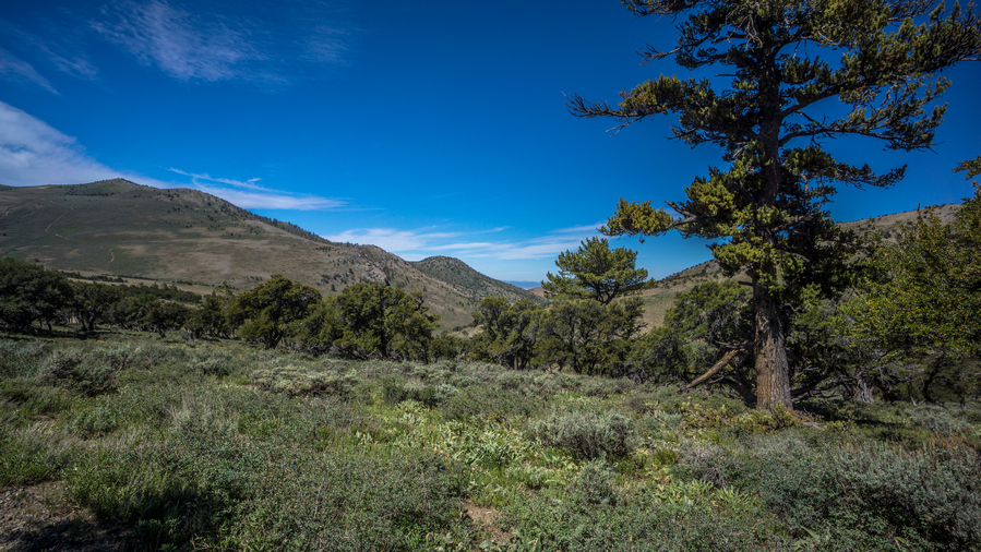
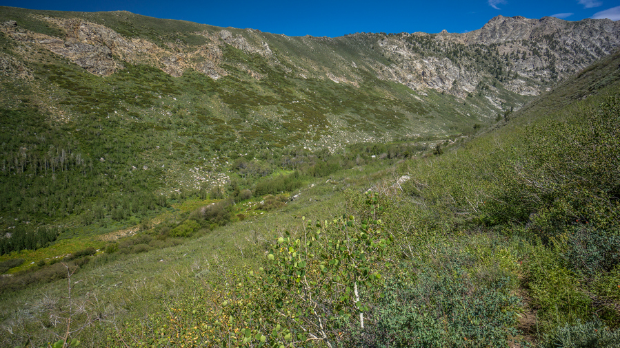
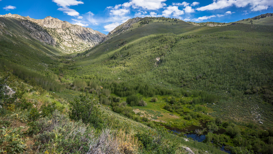
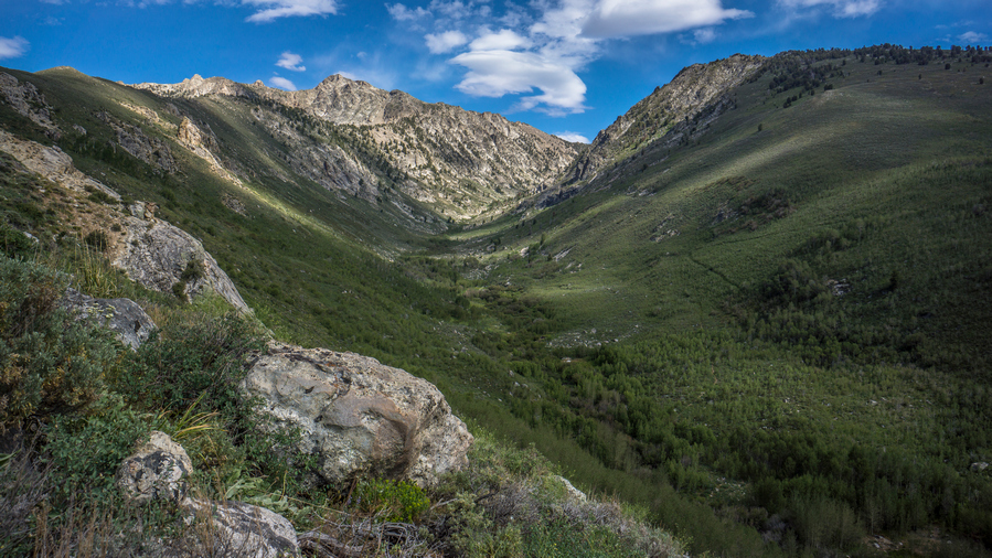
It was much warmer down here in Newark valley. But I didn’t care, the ease of walking more than made up for it. Many of the Canyons leading up into the diamond mountains looked similar to the one I came down, a ton of green, looks like a pain to hike.
Now on the main road through the valley, I was surprised to see it paved. I’d be on this road the rest of the day. It really wasn’t that interesting. The dried Lake bed ends and turns into farms and agriculture on the northern end of Newark valley.
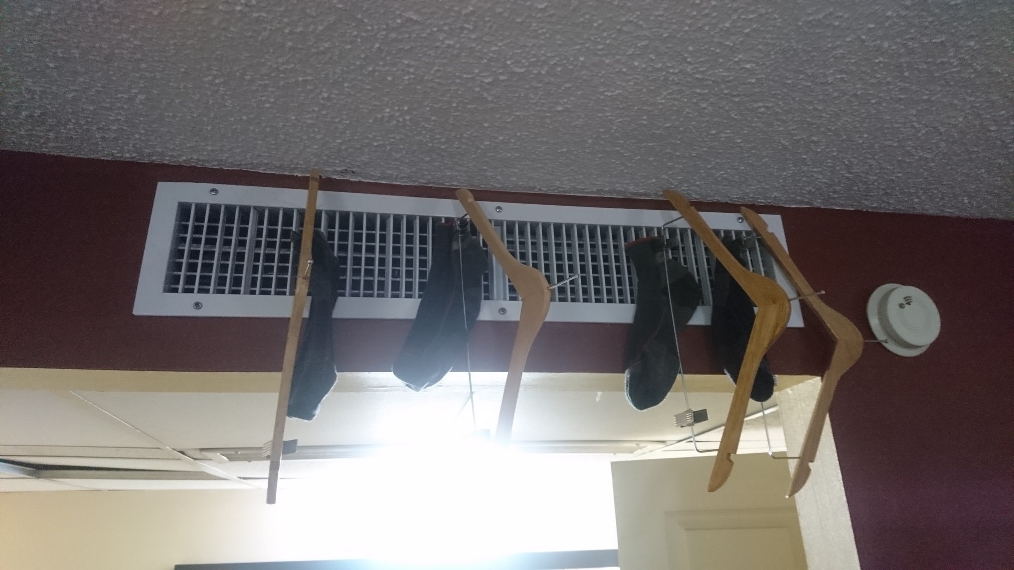
There wasn’t much traffic on the road. Not a single vehicle stopped for me, unlike a dirt road, where everyone stops. So now I am heading to a place called Cold Creek Reservoir, the next water source on my map. I walked 3 hours straight from my last water source to reach it. It’s very well hidden from the road When approaching, I didn’t think it was going to exist. But sure enough, a little dirt road leaves the main road and leads down to hidden reservoir. Boy I was thankful for that. Water level was low. There were a couple of campers parked around it and a family fishing. I stopped at the creek that feeds the reservoir and sat there for about an hour, I filtered several liters of water, chugging a few and collecting 4 to take with me. Ate dinner, washed my socks etc.
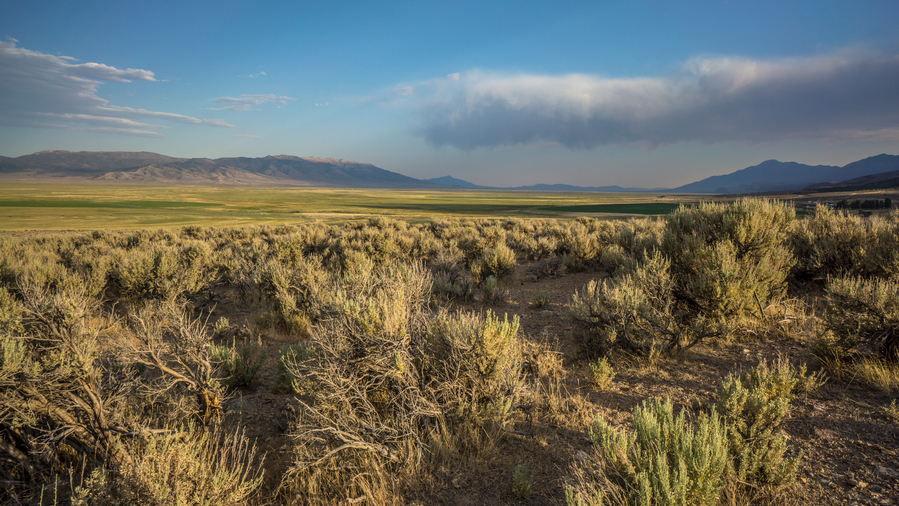
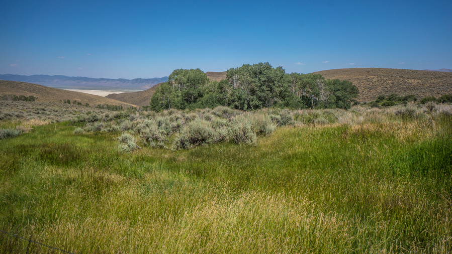
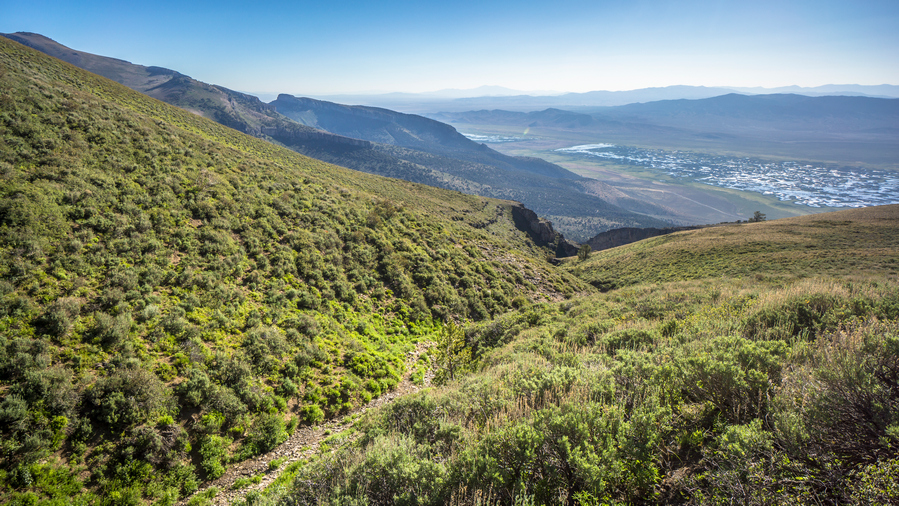
Northern Newark Valley. The dried lake bed was situated in the south, and here, it’s much more green
I left the reservoir around 6:30pm. More Road walking this evening, headed towards the Pony Express route that runs into the southern rubies across Huntington Valley. I was really hoping to make it to the Jacob’s Well Pony Express station, which would have surely provided a flat spot to camp if nothing else. However, it was 9 plus miles away. I wasn’t going to make it before dark. It would have been cool to say I slept in an old Pony Express station.
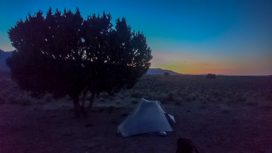
The paved road turns into a dirt road. There is a turn-off for Bald Mountain with a sign that said Kinross. Apparently, that’s a mine. I kept walking and eventually found a spot under a tree, surrounded by cow crap around 8:30, just as it was getting dark. Perfect timing.
Day 39 – July 9th: Huntington Valley, Pony Express Trail, Overton Pass, Southern Ruby Mountains
Slept pretty good. Finish writing in my journal this morning since I fell asleep during it last night. This is pretty common for me. Started hiking around 7:30.
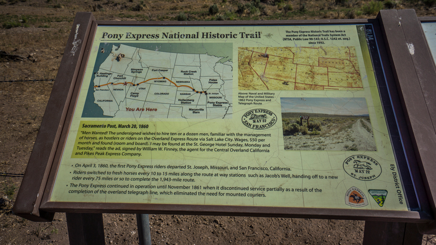
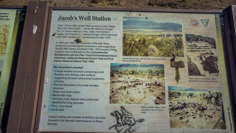
Continued walking the road north. After while, I hit the Pony Express route. This is marked by a couple of brown signs. I turned right, heading roughly east and after a few miles I hit the Jacob’s Well Pony Express station. There really wasn’t anything here, just a clearing, which was fenced off. There was a marker made out of railroad ties, and these were all over the Pony Express route. And a couple of signs that described what went on in this area.
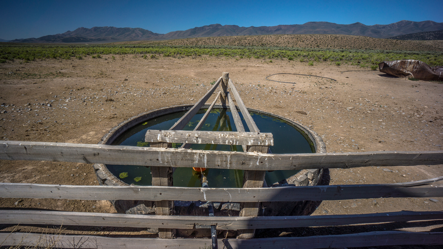
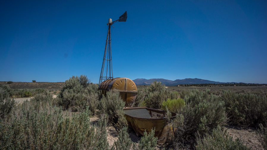
A few miles up the road I hit Jacob’s Well, the water source. This was a large tank filled with water that fed tires and Troughs. There were cows here but they were fenced off. I could access the well without being in the same area as the cows. There was a spigot on the well, which was very handy. I was able to wash my socks, with some pressure. I chugged 2 liters of water and took 5 with me.
Now it was a long road walk from here, still along the Pony Express route. I didn’t see single car drive by. I crossed the main road running through Huntington valley here, and continued hiking the Pony Express route. A truck past, the woman stopped asked if I was okay. She said she was hiking the John Muir Trail later this month. That’s awesome!
I stopped along the road for a break under a tree. It was getting really hot today, forecast to be in the low 90s. I continued walking the road, and saw maybe five other vehicles drive by, all coming up over Overland pass from The Ruby Valley side. On the top of Overland pass, looking to the north there was a large burn area. Haven’t seen many of these in Nevada, the only one I can remember is in the grant range.
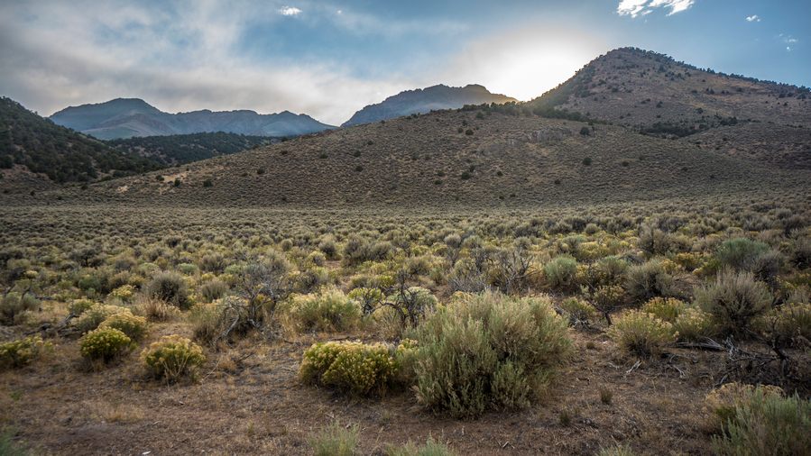
Finally I hit the road that takes me up into the Ruby’s. It look the same as every other mountain range for the most part; at it lower reaches, plain dirt road with some small pine trees. I was really struggling now with the heat. Just having a hard time walking up the road and finding the motivation to keep walking.
It took roughly two hours to get to the top. My mouth was dry, I was thirsty and hot. I had already drank two liters of the five I took from Jacob’s Well. Then I drank another liter at my break, which I took after reaching the hill above the climb I just did. This break was nice, under a tree and a good view.
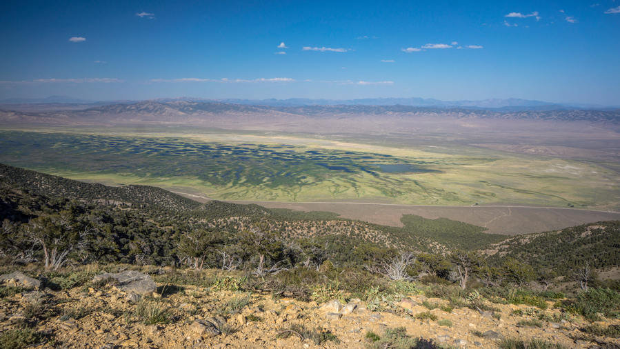
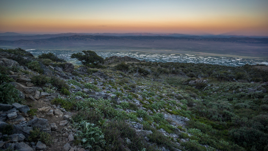
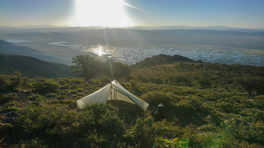
My route now continues uphill, along the crest or just below it. From the top, I could see a long way; the Diamond range where I just came from, and down into the Ruby marshes below in Ruby Valley. There was a lot of water down there, and had its own unique look a braided network of ponds and channels, spreading out like a spider web. Maybe, a spider that was drunk or something. Really nice views now, nice to have some reward for all the hard work I put in today.
Climbed up to the top of the ridge, and then found a trail that dips down on the other side. It’s skirts the hillside, with a good view to the east of the Ruby Marshes. Now, I’m in the Basin that holds burro Lake. I wish it was a lake, because i was pretty thirsty now. But of course, it was dry as a bone.
I followed the crest up The Ridge, knowing I would have to ultimately find my way up a pass. It was easy going at first, a nice game trail. Then it was a difficult off Trail climb. Difficult because it was steep and I was tired. Had one tick on me, that’s three now for this whole hike. Saw two horses in the woods on my way up the pass.
The climb up this unnamed pass near really hit me. At this moment, I was feeling pretty tired of doing this hike to be honest. The off-trail stuff is just so hard. I’m always thirsty, hungry, tired, dirty, sore, feet hurt etc. I was stumbling up the hill, like I was on autopilot. This really is nothing at all like hiking the Continental Divide Trail. The challenges are far greater. Seldom can one just walk without much thought. Everything here is a battle.
I sat down for a minute at the top of the pass, looking to Sherman Mountain to the north. With the wind blowing, it was quite cold actually. Headed down hill through a forest, following game trails where I could. I got down to a clearing, and decided to start looking for camp. I checked one green area for water, no luck. I walked over to a patch of trees, and saw another 10 horses. They ran is I approached. I thought I might camp where they were, though.
However, before I set up camp, I decided to have a look around the Mountainside to see if I could spot tomorrow’s water source. I had given up on reaching it tonight, its too far. It would either be a large climb, say 800 or thousand feet, or skirt around the mountain side. I was leaning towards the latter. So, I started walking around the mountain side on some game trails. Before I knew it, I had gone too far and had committed to the route. The water was too far away to see, but I think it’s going to work based on the terrain and potential for game trails.
The view over Ruby Marshes was incredible. This was a unique view, no doubt about it. The way the fading rays of sunlight reflect upon the braided channels and pools of water below in the Ruby Marshes was something Ill never forget. I forgot I was in Nevada for a moment, this place looked nothing like the rest of the state I have hiked thus far. For all the challenges, the heat, thirst, bushwhacking etc, this is my reward. The cruel thing is about these hikes is that the payoff is so short lived. For all that I endured today, my reward is so brief, in comparison to the effort involved to reach this place.
Now after 8pm, it was time to find camp. It was a moderately steep Hillside, and nowhere to camp. There were certain spots that where basically small Ledges, although filled with rocks. I found a spot where I cleared a bunch of rocks, and decided this would be camp for the night. I had planned on cowboy camping this evening, mostly due to the lack of space for a tent.
I used my foot to clear out the small rocks, and had to dig out the big rocks. Eventually I cleared a spot the size my tents footprint. I put the Tyvek down, I blew up my air mattress, and then realized they were too many ants around. I haven’t had much problem with ants at night so I figured cowboy camping would work. However, there was just too many ants. They were crawling all over my stuff, and all over my sleeping pad.
The problem now is, it was Dark now and there were no other options for other campsites. The spot was very small. I didn’t think I could get tent in here, if I did, it would be on a huge slant… but that’s just what I did, not having much other choice. What a pain in the ass this was. It felt like amateur hour. It took a long time to set up the tent, my poles were off at odd angles, there were rocks underneath the tent that needed to be moved, and when I did, it stirred up the ants nest. I cut my hand somehow trying to remove some plant from underneath the tent. Basically everything went wrong. But in the end, the air mattress is flat and I’m tired enough that it doesn’t matter.
Just under 1 liter of water left. If Tomorrow is water source doesn’t work out, I will have to dip down out of the mountains again, as there are no other water sources for a long, long ways up on the crest of the Ruby Mountains.
Day 40 – July 10th: Southern Ruby Mountains, Ruby Marshes & Ruby Valley, Pearl Peak
Slept good because I was so tired, but sure was a shitshow of a campsite. Wind died down a little bit but was still kind of gusty throughout the night. Could not get the tent pitched taught, so I had to listen to the tent flapping around in the wind all night.
I continued working my way around the hillside, contouring around along the same elevation. Intermittent trails, faint at best. Saw a tank just before I reached the drainage where I had marked water, but this was dry.
When I reached the drainage where I marked water on the map, this too was dry. Actually, it was damp. So now I could follow it up Hill or downhill. It makes more sense to follow it uphill and try and find the source. However, the canyon was steep and narrow. Still, I didn’t have a whole lot of options, I was a long way from water no matter what I did. So I went up hill. There was a ton of bugs here though, flies and mosquitoes.
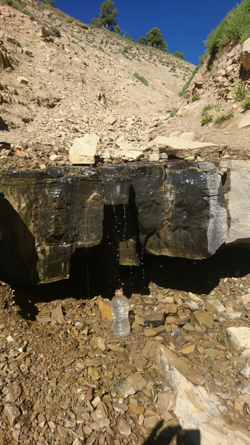
Found a couples trickles of water coming off a rock, but the ground itself was still just damp, no running water. I kept going uphill, and finally found a 2-3ft pour off, with a few trickles of water running down that. First thing I did was dunk my head under the water. It was nice and cold, it felt amazing! Really amazing. I wont lie, I got a little emotional finding this water source. You know you are living when finding water brings a tear to your eye. I couldn’t help but scream at the top of my lungs Woohooo!!
After soaking my head and washing off a little, I chugged the half a liter of water I had left, and started to filter more. All in all, I drank 2.5L here, and took 5 with me.
Next it was a steep climb out of the ravine, although a short one. More side-hilling for a while, then reached a 4×4 road. This was a relief. Now, I could just relax and walk for a couple of miles, before going off-trail again later today. Now at a saddle, the road climbs up. The trees where practically growing sideways here, very exposed to the wind.
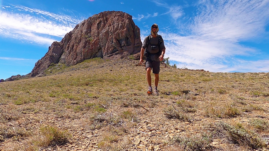
I stopped to check out a big rock formation that looked like it might be worth exploring. There really wasn’t anything interesting here, other than some cool views!
Went over another pass. Road passes through some trees on the side of a hill. Pleasant hiking for a bit. Pretty nice views all around.
Then, another 900 ft climb. In the middle of the climb, I saw 8 horses.
This climb wasn’t too bad, didn’t seem like 900 ft. This is where I thought the road would end, at the top of this hill. Very very steep 4×4 Road leading to the top. At the top, the road continue to along the Ridgeline towards the next high point.
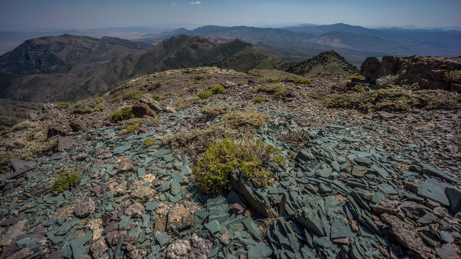
Along the Ridgeline, near Cass House Peak, I found some very interesting rocks and minerals. There was a small hole that someone had dug here, and the ground was littered with rocks bearing colors of green, blue and silver. I am pretty sure this was a copper/lead deposit. The green indicates Malachite, the blue was probably azurite, and these colors are a strong indicator of copper. The silver metallic mineral was likely Lead (galena), which is often found with copper. A very cool find!
Followed the road to the top of the next high point. This is where the road ends. Then it was a ridge walk down crossed a few other high points. Finally, Pearl Peak was in view. The climb up didn’t look too bad. It was going down I was worried about, from looking at the topo maps.
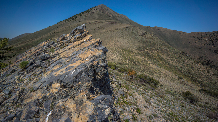
The hike to the summit of Pearl Peak was pretty easy, all things considered. There was an intermittent game trail at times, and the grade was not too steep. Good views along the way.
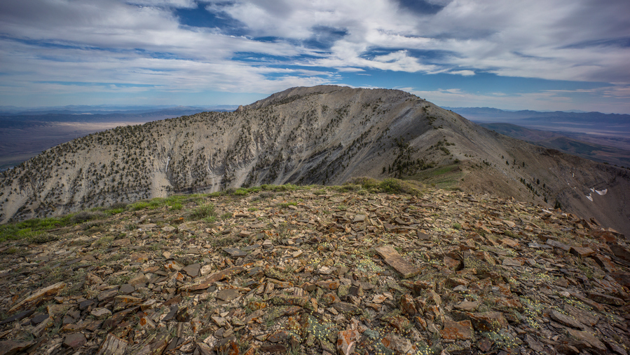
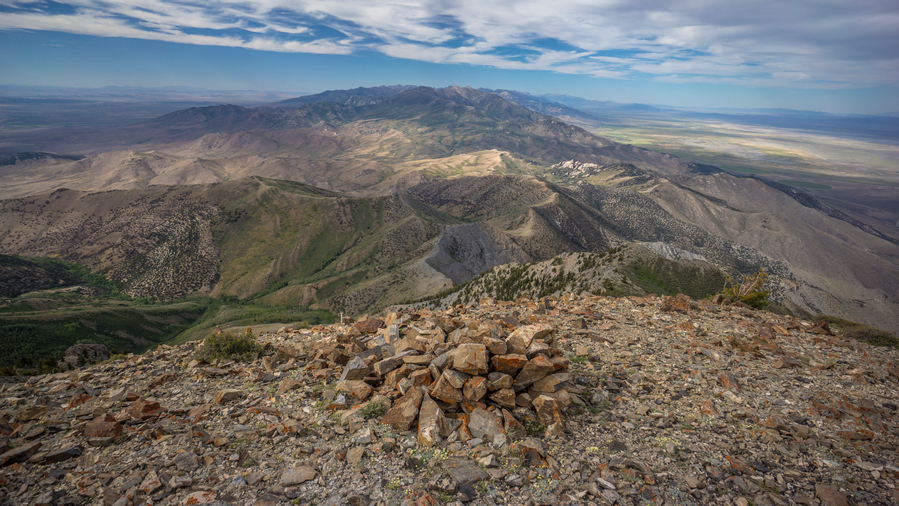
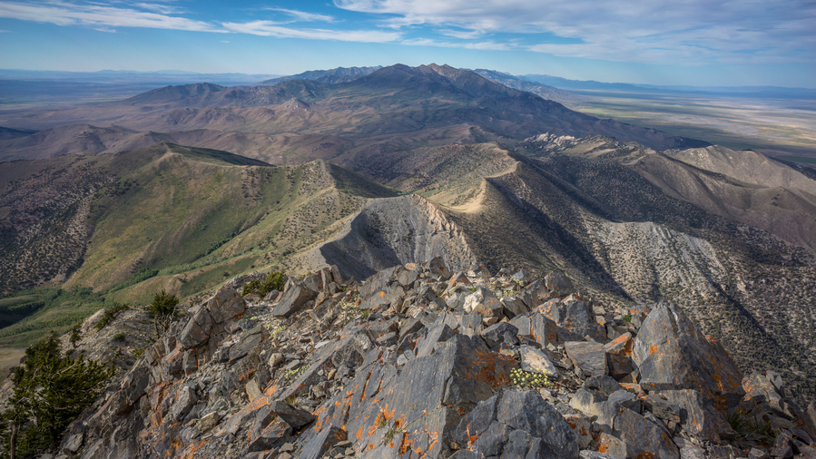
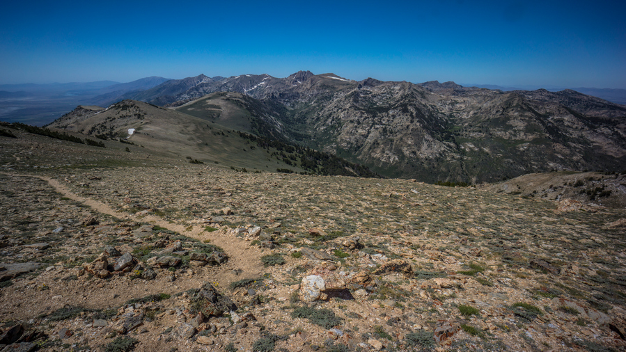
The summit of Pearl Peak offered an excellent view. Especially to the north over the rest of the Ruby Mountains. The Rubies are a long range, and the section that most people hike (Ruby Crest Trail) is a 40 mile section, north of here. Where I am though, in the southern Rubies, few people hike this.
Now it’s a slow and tedious descent down from Pearl Peak on loose rock and talus. I’ll dip down to a saddle below peak 10,664′, then hike up to the top of it.
Coming down form 10,664′, I drop down to another saddle before going right back up to peak 10,528′. From the top of this one, I couldn’t see over the edge to get eyes on the route down until I got started descending it. It was steep! But, quite manageable.
When I reached the ridge I was worried about, it had me very nervous. Extremely steep descent. On my map, the caltopo slope angle shading was solid red for 1000 ft. Darker colors indicate a steeper slope. Took a break here, ate food drink water, and went for it.
This is the type of terrain where you just dig your heels and feet into the dirt and rock and just let it slide, basically a controlled slide. Hopefully its a controlled slide anyways, much better than an uncontrolled slide. I fell numerous times on the way down. Still, it was somehow more manageable than I was expecting. My feet hurt, there were pebbles in my shoes and they were rubbing on my feet, making them sore.
Finally worked my way down the steep slope and over to the ridge itself. Now you could hear a bunch of sheep down in the valley, and I could see the sheep herders white tent on a ridge. Following the ridge was still hard; it was slippery with loose rock, caught myself many times from falling. Sometimes I didn’t catch myself though!
Now I had to go up a series of ridges and Hills, all off Trail. I was absolutely wiped out, basically stumbling around. Beautiful views, just so much hard work. Some of these ridges were a bit of a knife edge at times.
Eventually, I reached the last Ridgeline of the Basin that held a couple Springs. I begin The Descent, off Trail, instead of just following Ridgeline a ways more to a Road. Big mistake. I found myself at a wall of trees, totally impenetrable, with only a tiny bit of daylight left. No way!!
I went back up the hill side, very steep. Worked my way around the trees, and was literally running downhill through Sagebrush, with no care given to my legs. My legs got pretty cut up, they were bleeding and completely black and brown from being dirty. But, I reached the bottom, and then eventually, the road.
I continued to jog along the road, as there is almost no daylight left now. I reached the general area where the spring was on the map, but it was too dark to find the water. I had no choice but to continue along the road, following it up Hill until I found a subpar place to camp alongside it. There was just a little bit of sand over a huge rocks slab, so I couldn’t get my tent up, the stakes wouldn’t go into the ground more than a half inch. Couldn’t even find a single rock to try and pound stakes in! So I ended up cowboy camping, even though the mosquitoes were out. I don’t care, I was too wrecked to give a shit otherwise. 9pm now, another 14+ hour day of hiking.
Day 41 – July 11th: Harrison Pass, Ruby Crest Trail, Ruby Mountains, Overland Lake
Woke at 6:45. Feeling wrecked! Thirsty. Tired. Sore. Legs still really dirty, despite cleaning them last night with wet ones. I guess I missed a few spots, like the entire leg. Ha.
Walked down hill to the spring I passed last night in the dark. Found it, in thick brush. A small flowing creek. Found a spot to sit down, thick canopy but open enough to sit on grass. Actually pretty nice.
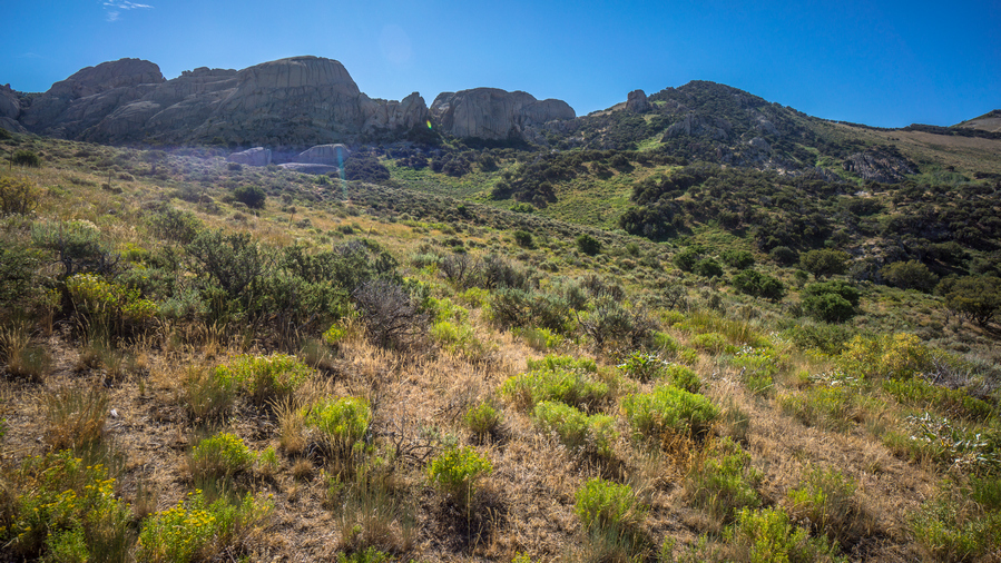
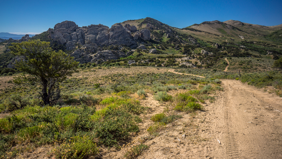
The Basin I camped in last night was really nice, lots of Rock hoodoos everywhere. There probably would have been some great camping spots I had time to explore in the daylight. I followed the road North towards Harrison pass.
At Harrison pass, there were three vehicles parked. An actual hiking Trailhead, with a couple of cars. I haven’t really seen many actual hiking trailheads in Nevada along my route, and they usually don’t have cars at them. Welcome to hiking central Nevada.
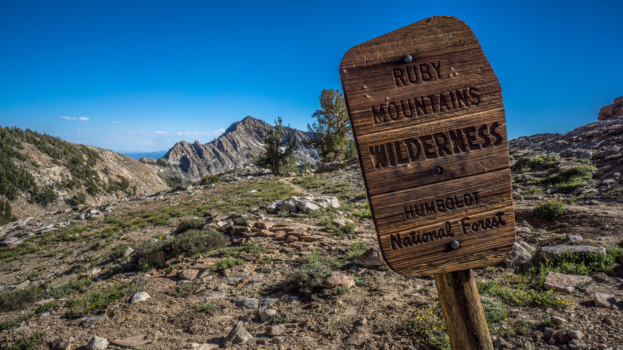
Continued North on the road above Harrison pass. A sign said Ruby Crest Trailhead 2.8 miles, wilderness boundary 6 miles. The road is rough ahead, so most people park at Harrison Pass, which ought to be considered the official Ruby Crest Trailhead. The road here was also lined with Rock hoodoos and interesting formations, and some pretty excellent campsites for the car camper. I passed one spot that must have had 10 tents. I also passed a couple of Runners coming down Road, they said you picked a good Day to come out, referring to the heat. Today was supposed to be 98 in Spring Creek. Of course, I can’t pick and choose my hiking dates around the weather.
Along the road, I saw a couple Beaver ponds along the creek, I think it was Gardner Creek. Farther up, I reached the Ruby Crest Trail head. There were three trucks parked here. I was surprised to see anything parked here because the road was pretty washed out and deeply rutted in spots.
The next many miles were not that interesting. It looks like the area had previously burned and low brush was growing back. Just a sea of bushes that were only knee high. Pretty horrible actually, but good thing for the trail. The views were not that great here either. Also, the trail here has a lot of small ups and downs, and even though I was putting in a lot of work, was not really getting anywhere elevation wise.
Saw my second hikers in Nevada. A younger couple that had just left Overland Lake, going back to Harrison pass. They had giant backpacks, with REI tags on them. Looks like they rented their gear.
There were many small trickles of water over the trail. The small streams, probably could have collected from them if I tried, but instead, just used the water to wet my head, hat, and Sun flap. This felt amazing in the heat. It was really hot.
I reached McCutcheon Creek Which is really nice, good flowing Creek and the backdrop of pointy mountains was finally starting to show itself. Hiking North, the scenery didn’t look that great still, but now, looking back to the South, the Ruby mountains began to look bit more impressive.
Went over a pass with a nice View, before dropping down to South Fork Smith Creek. Saw two more people with the dog taking a break under a tree. It was a nice hike down to the creek. Good views, Big Valley. Still not amazing, but getting better.
Down at the creek, I was hoping to have water large enough to have a swim. It was only a few inches deep though, with slightly deeper pools here and there. There was a large campsite along the river, really the first pre-existing backcountry campsite I’ve seen in the rubies.
Next the trail climbs up over a ridge. Good views at the top, then it drops down to Middle Fork Smith Creek. Roughly the same size as South Fork. I stopped here to filter water.
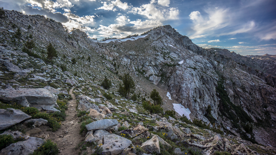
The trail climbs up over another Ridge, and then begins its Ascent to the pass above Overland Lake. Trail all the way up to the switchbacks at the end of the basin was actually pretty easy. All of the climbing came in the form of switchbacks, about 1,000 feet straight up. I saw two horses in the upper portion of the basin. This felt like a really long climb, there were many times I thought the leg of the Switchback I was on was the last one, like a false Summit.
The View from the top of the pass was excellent. Looking back to the South, there were two pointy Peaks staggered in such a way that it looked like sawtooths if there were more of them. There was a snow cornice too. I turned my on phone to check for service, had 4g. I sent Cody a message, letting him know that I expect to reach roads end trailhead in upper Lamoille canyon by tomorrow night and was looking for a ride into Elko. After sending the message, I lost my signal, and it never came back! Funny how the wind blows cell phone signal I guess.
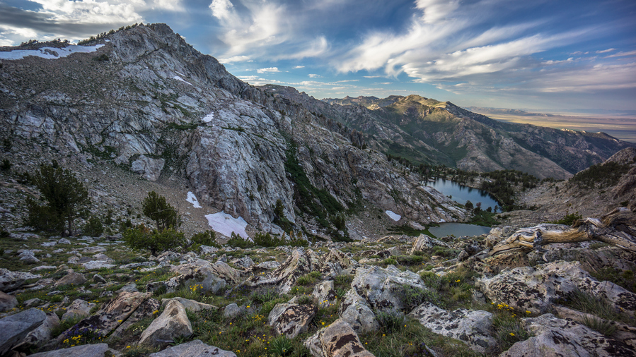
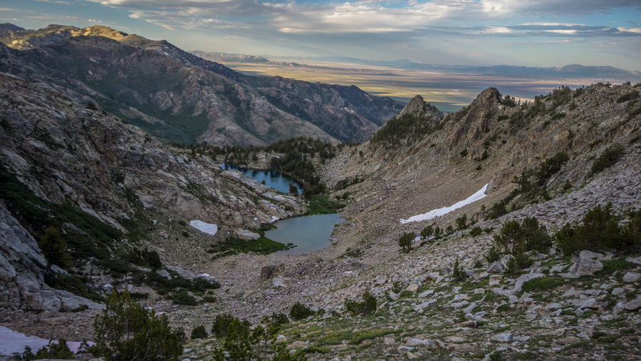
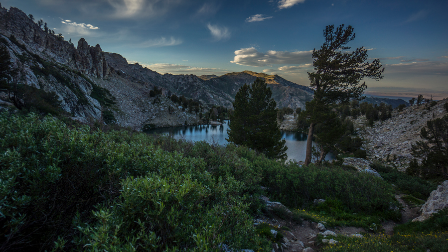
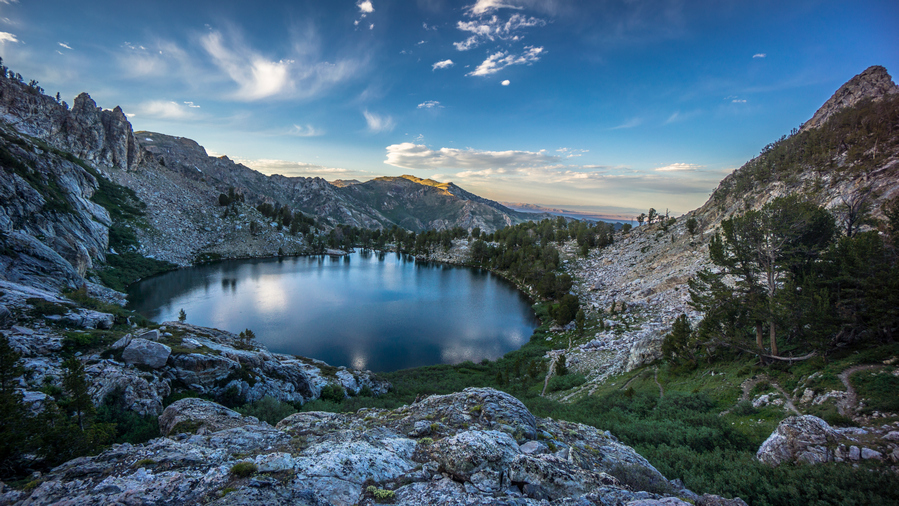
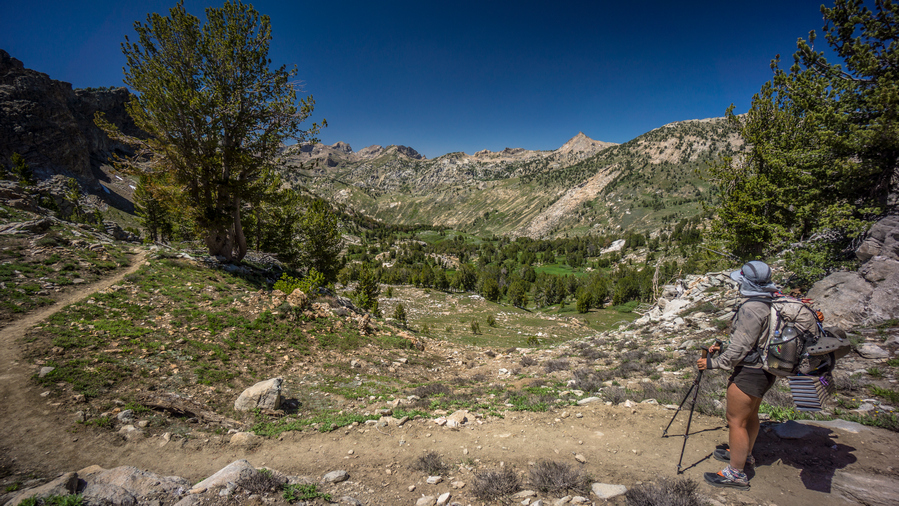
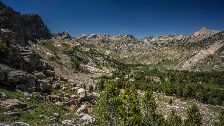
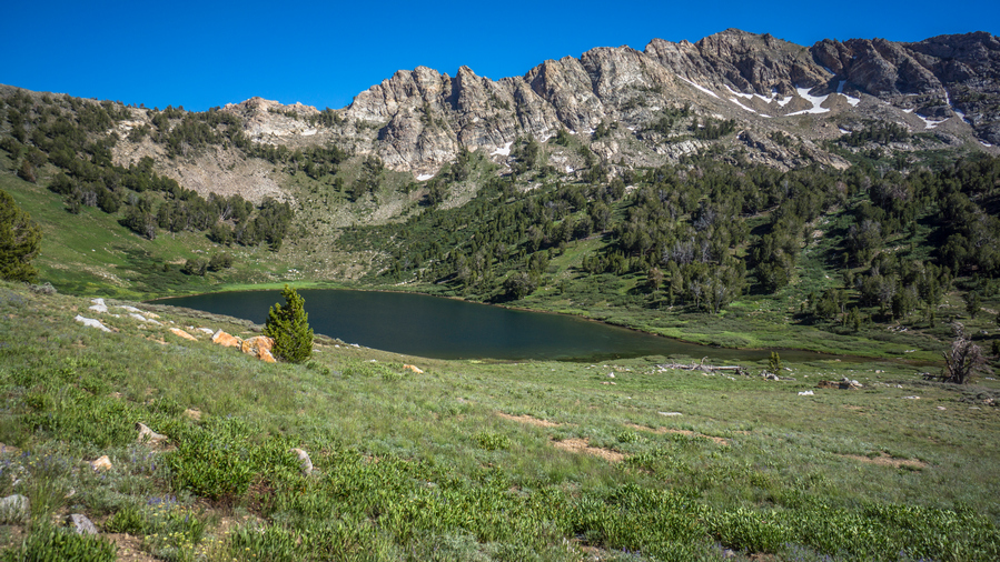
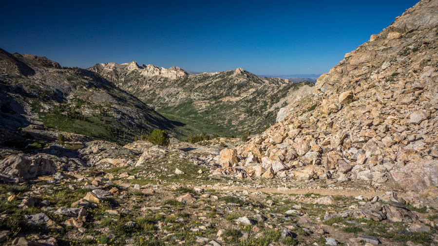
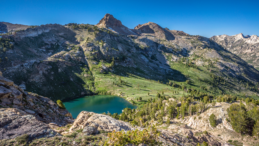
The view of Overland Lake… Wow! Way more impressive than I was expecting. Two small lakes, the trail sitting very high over the Basin. This was a very impressive little Cirque. I can’t say wow enough. Even from the top, I got Wind River range vibes. This whole cirque was lined with Jagged Rocky spires and impressive sheer rock slabs. the sun had just gone down over the Ridge, so my pictures of this area are not what I was hoping for. Still, my eyes could see the beauty. Wow.
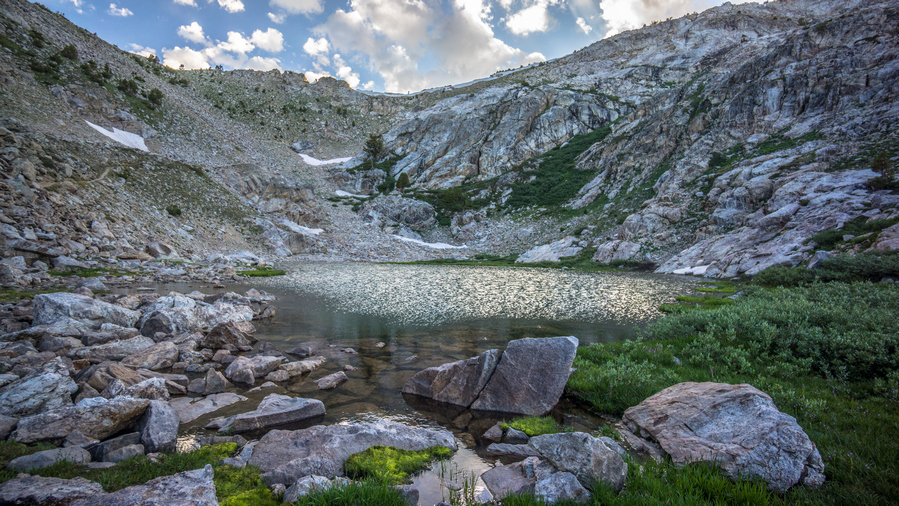
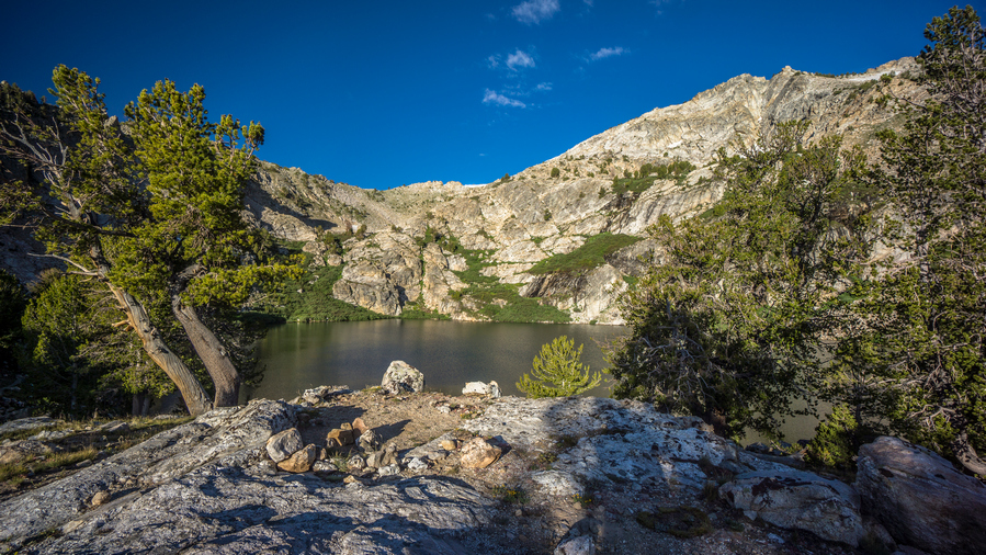
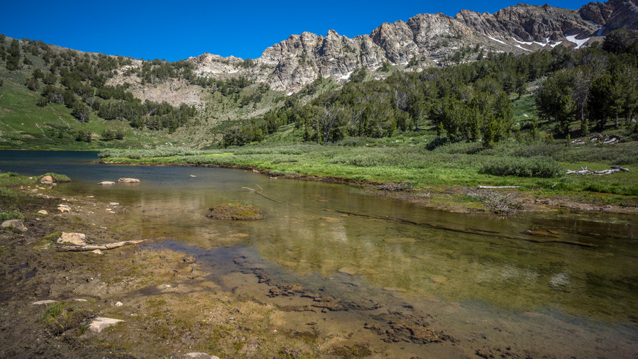
Followed the Steep switchbacks down to the upper Overland Lake. Stopping every so often to take in the scenery, see the place from a different angle. Upper Overland Lake was incredible, but the Lower Lake is usually the main event. I could see a tent down there, so there was at least one person camping, which I expected.
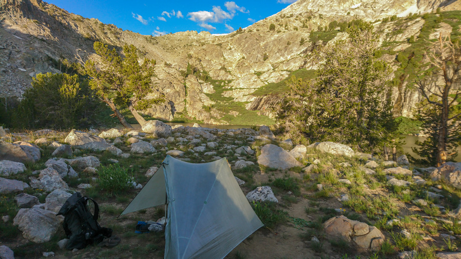
Along the lower Overland Lake, I saw it about 10 tents along the shore now. There was an abandoned cabin here too. There’s a group of people, the closest person was a guy with a big long beard. I said hello, and kept going. I climbed up the hill above their campsite area and found my own. Pretty good spot with an excellent view of Overland Lake, slightly elevated above it.
Next I headed down to the lake to get water, wash up and eat dinner. The group was mostly ultra marathon runners, and they just happened to be doing this hike together. They weren’t really avid hikers, although one person in the group had hiked the PCT in 2019. Marlene, (trail name fa-fa). She was a SOBO hiker, and made it 30 miles from Mexico of Mexico and suffered a fractured hip. I cant imagine walking all that way, being that close and having that happen right at the end. Just heartbreaking.
Day 42 – July 12th: Overton Lake, Liberty Lake, Ruby Mountains, Ruby Crest Trail, Lamoille Canyon
Beautiful morning. When I woke up, I noticed a campsite perched almost at the end of a small hill overlooking the lake, about a hundred feet from where I camped. This would have been a better view for sure, although more exposed to the wind. And really, what’s the difference when I didn’t have any time at camp in the sunlight anyway.
The views were excellent leaving Overland lake. There was a bit of a haze in the air in the distance, as I look down into Ruby valley out of the Ruby mountains and into the desert. It was really amazing how one could Traverse so many different environments in one day, by climbing up on Valley. Here, you can go from desert to alpine/sub-alpine environment in a matter of hours.
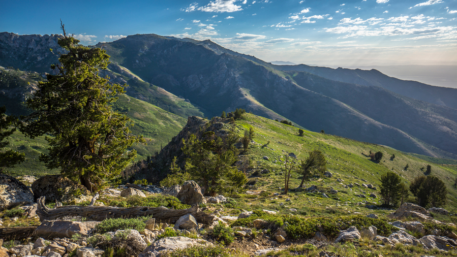
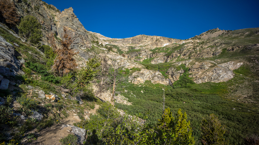
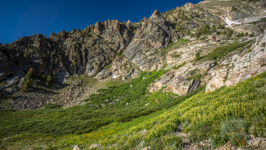
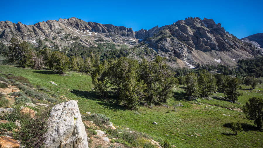
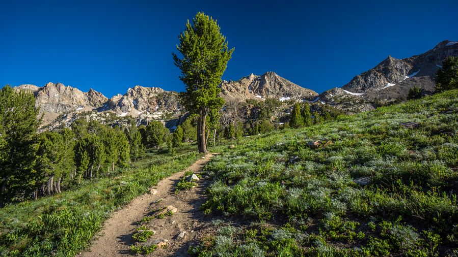
Good trail to follow. The trail drops down a little bit into a valley and then Contours around the Mountainside for quite a ways. As I made some distance from Overland Lake, the scenery became too impressive to ignore. Incredible towering Rock faces, at least 1,000 feet vertical. In the distance, I could see 2 waterfalls at least 40 to 60 feet high. Lush green environment. Absolutely nothing like the rest of Nevada!
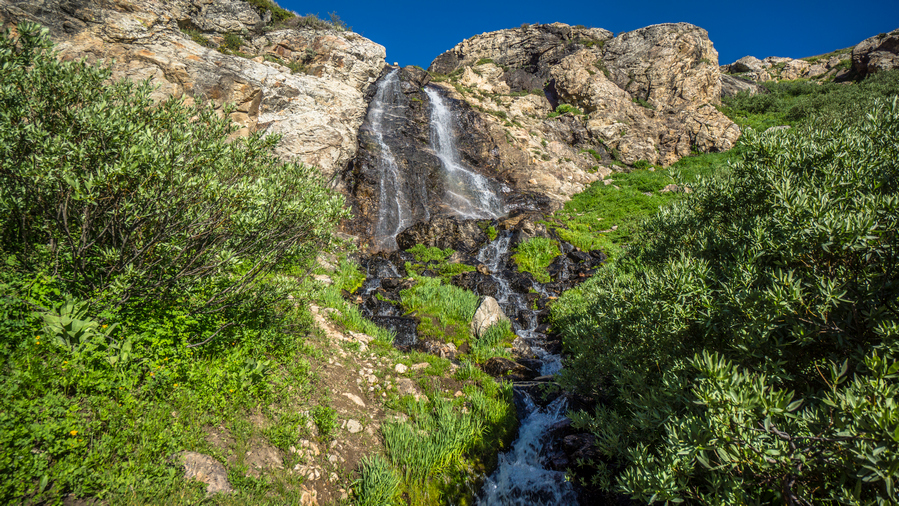
I was pleased that the trail was routed right underneath one of the waterfalls. The only other waterfall I had come across in Nevada was about 3 ft high. Now I was at the base of a 40ft waterfall. Amazing!
I was feeling really good as I walked away from the waterfall. I could tell today was going to be one of the best days on trail. I was taking a lot of photos and video, could barely make any forward progress it seemed.
I went around a corner on the trail and ran into Marlene, who I was speaking with last night. we ended up hiking the rest of the day together. Marlene is an artist and farmer. One unique thing about her, she is a master pumpkin carver and will carve pumpkins for businesses around Halloween time. Pretty unique Niche there!
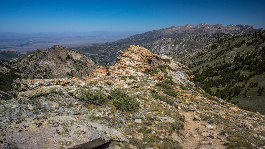
It seems like much of the day we were hiking on a Ridgeline that kind of connects two larger segments of mountainous masses, the North and South. The map of made it look like we just stay high on this Ridgeline, which we do, but there was a lot more ups and downs than I thought. Great views, although they kind of looked the same over each Ridgeline.
The hike in-between Overland Lake and Lamoille is definitely the best part of the Ruby Crest Trail. Everything south of Overland Lake is just not at the same level. Here, there are constant sweeping views and excellent hiking. The trail is good, the route is easy. Very enjoyable indeed.
By late afternoon we made it up over the last pass the drops us down into the Basin with Favre Lake. We kept saying, where’s the lake? We had to drop down all the to the lake itself before it was visible. I will continue on to Lamoille Canyon this evening, but Marlene needed to find a place for her entire group to camp. They were still behind, we didn’t see them all day. Apparently ultra-marathon running doesn’t translate well to hiking. That, and their packs are really heavy.
Farve Lake itself was nice, but not nearly as nice as Overland Lake. The Shoreline was muddy, and the water had some green algae in it. The lake itself looks a bit barren.
After parting ways with Marlene, I continued my hike up towards Liberty Pass, which connects Farve Lake to Lamoille Canyon. In upper Lamoille Canyon is Roads End Trailhead, where I will meet up with Cody Terras. Cody was one of the guys I met on 4th of July, he had given me his number and said he would pick me up since he only lives a short ways away. I had no service, so I use my satellite Messenger to send him a text here to let him know my ETA.
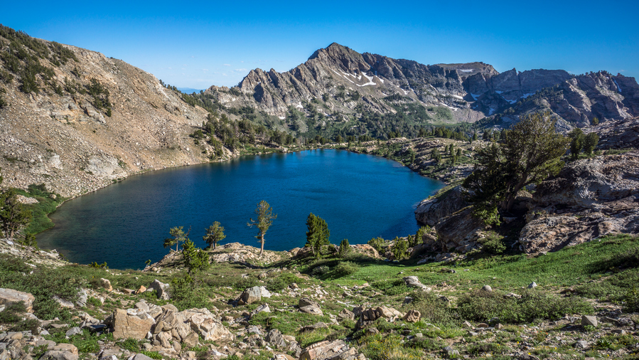
The hike up Liberty Pass was nice. From Favre Lake, it was almost like a two-tier pass. One Mini pass up to Liberty Lake, and then another mini pass up to Liberty Pass. There were many people hanging out around Liberty Lake. Liberty Lake was a large and impressive Alpine Lake. Not unlike what you would see in the Sierras, for example.
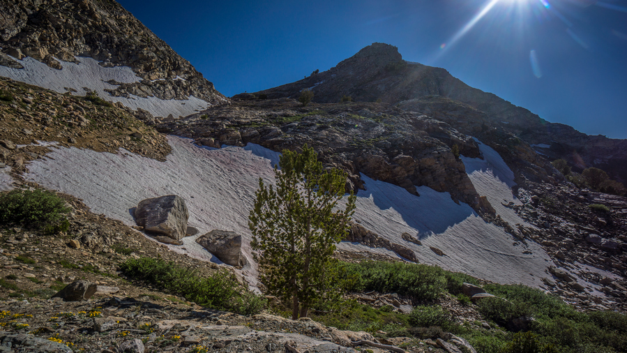
Coming down Liberty Pass down into Lamoille Canyon, I was surprised to see how rugged it was and how much snow remained up here. There were many switchbacks and they were very close together, snaking the way down Hill, looking like they make almost no progress. I could tell this pass was going to take longer than I thought.
I had to walk over several patches of snow. Trail itself was very Rocky. It was indeed time-consuming. At the same time, it was really impressive to look back up at Liberty Pass. Steep rock walls and snow.
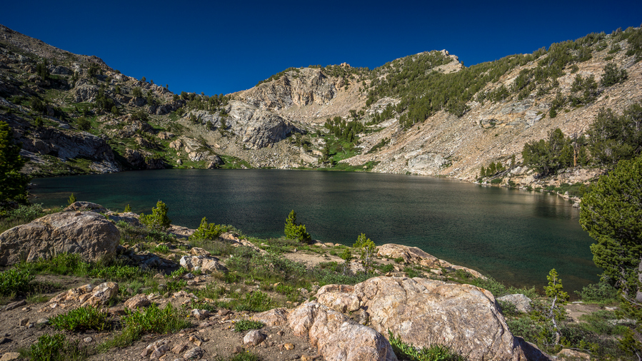
I could see Lamoille Lake from above. A deep green turquoise color. I didn’t really have any time to go down to the lake, and the trail stays a little ways away from it anyhow. I tried to run downhill when I could, trying to reach the trailhead by 6pm, the time I had told Cody to be there.
I had a bit longer route planned for this section. I had a high route mapped that would connect upper Lamoille Canyon to Echo lake and drop down into Seitz Canyon, ending this section at the Powerhouse Trailhead in lower Lamoille Canyon. However, that would add another day of hiking and logistically, it just worked out to have Cody pick me up here today. Make no mistake, the high route from Lamoille to Seitz would be stunning, based on the maps. I will have to save this route for another time. You just cant do it all on on a thru-hike.
I reached the trailhead around 6:15pm, pretty happy only being 15 minutes late. Cody was sitting there on a rock at the edge of the parking lot, he had been watching me come down hill. He had a cooler waiting for me with a water or beer, drink of my choice. I went for the cold water. Jumped in his car and we took off.
we made our way to Elko, while I decided which hotel to stay at and where to eat. Cody suggested Round Table Pizza, which sounds good to me. I was in my hiking clothes still an extremely dirty. There was a huge hole in the back of my shirt. But Cody insisted with the miners in town, I would fit right in. Works for me.
we made pretty good progress on an extra large meat lovers pizza, and I took the rest with me. From there we went back downtown Elko, and I got a room at the Econo Lodge
Day 43 – July 13: Zero Day in Elko, NV
Town chore day. Usually I’m tired and out of it, but I felt really good today. Besides grocery shopping, I had all of my chores done by late morning. Washed my clothes, washed my tent and the zippers to try and restore the functionality. One of the zippers no longer closes properly. Too much sand and Grime in the zippers. I gave Cody a call and asked him if he could take me to the grocery store and the post office This afternoon. He said he would swing by mid-day.
Luckily the grocery store and post office in Spring Creek shared the same parking lot. I picked up my package that Dad had sent containing a new shirt, gaiters and new pair of boxers. Then I did my grocery shopping. I picked up a case of beer for Cody’s folks to return the favor for the generosity on the 4th of July. Then we went back to his place for a bit.
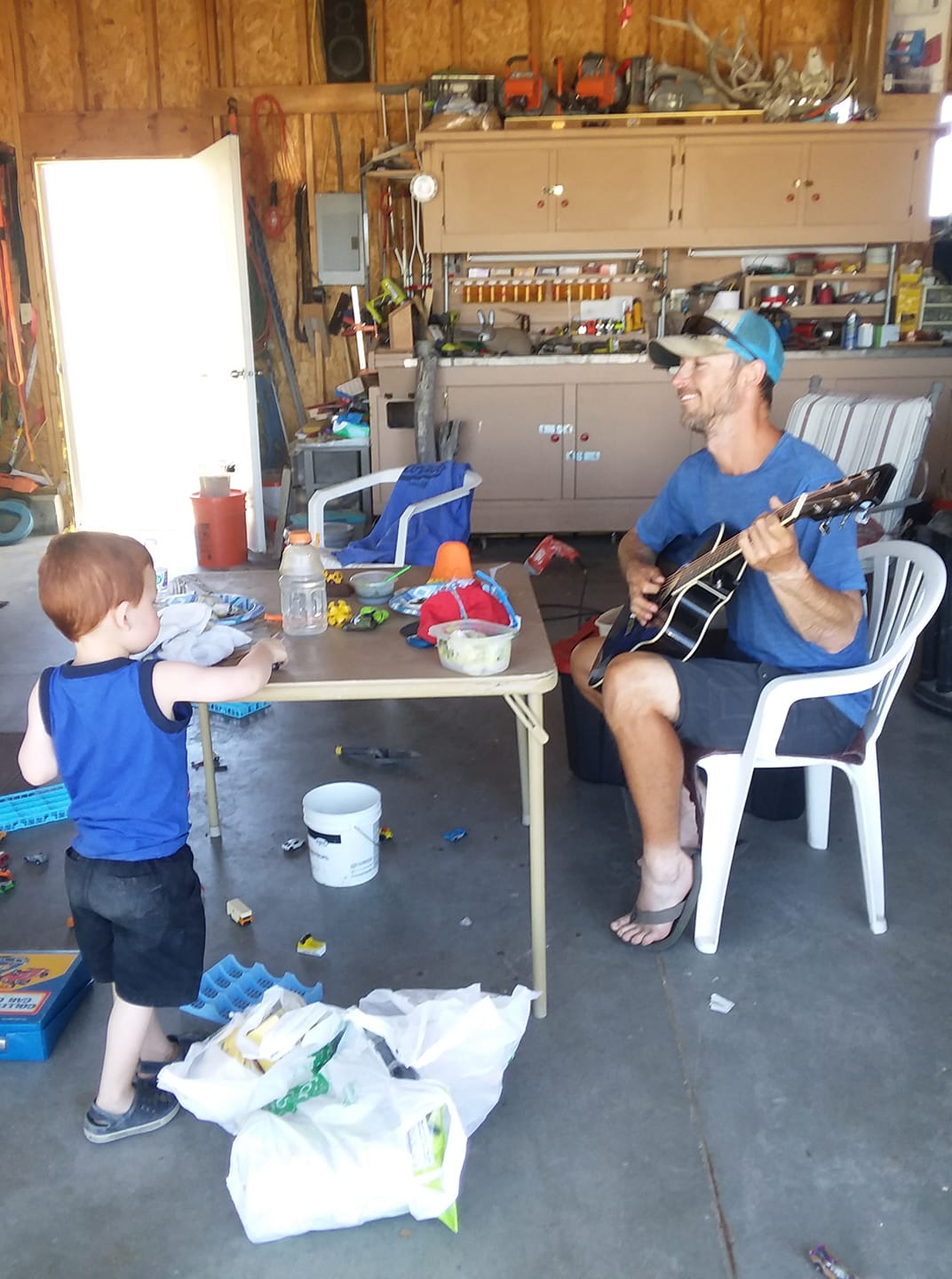
Travis, Cody’s dad, was out fishing for the day, and his mom was out somewhere too. We hung out in the garage and jammed a little bit on the acoustic electric guitar. Their house was situated on the end of the street, last house before you reach The Ruby mountains. What a backyard that was!
I took Cody out to eat at a local restaurant to return the favor for driving me around town. I spent the rest of the day relaxing in the motel and getting ready for the next section. Cody will join me for a day or two in the beginning, which will be great to have the company!



















































Leave a Reply