Summer 2015 Update
Hey everyone, just wanted to do a quick update and let you know what I’ve been up to since I haven’t posted anything since January. For now I’ll post a quick rundown on the hikes and travels of the year thus far. Soon, I will add a thorough trip report of my latest hike in the High Uintas Wilderness in Utah. The others are lesser priority and will come after the Utah trip.
March 2015 – Arizona trip… day hikes in Sedona at the Red Rock Mountain Secret Wilderness, Camelback Mountain and Superstition Wilderness.
I was in Phoenix in March for my cousin’s wedding. I wanted to stay an extra week after the wedding to do a hike in the Grand Canyon but I was not able to stay that long. Instead I was able to do some day hikes which was still fun.
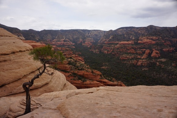
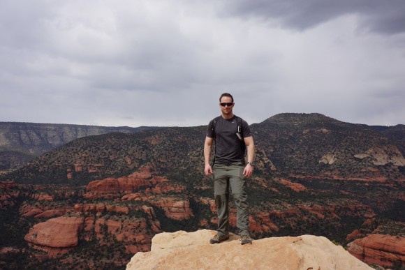
We went to Sedona one day which was a really cool place for a town, but there are a LOT of people here on the trails. We hiked Loy Butte, an area a little further off the beaten path. This is in the Red Rock Secret mountain Wilderness. Really cool looking place, I wish I had more time to explore.
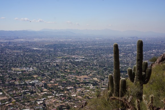
Another day we hiked up Camelback Mountain, a mountain located in Phoenix, surrounded by the city. It’s very popular as well but one of those things you gotta do as a visitor to Phoenix. Great view of the city. I can only imagine it during sunrise or sunset.
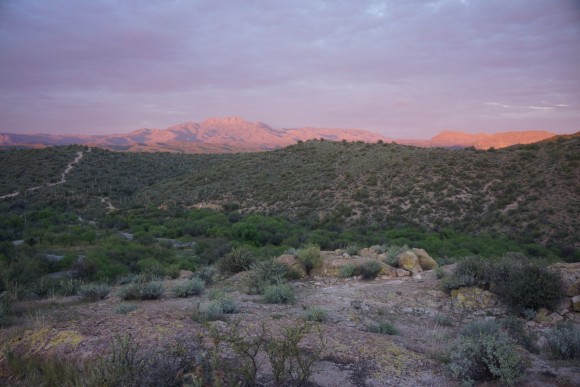
Lastly, I took my dad and cousin out for a short day hike from the Canyon Lake trialhead into the Superstition Wilderness. I started here on my hike in the Superstiion Wilderness in 2013 that ended up being wild 4 day trip that I’ll never forget. So it was cool to be able to show them the area and see it in person. After that we ate at the restaurant in Tortilla Flat before driving hwy 88 (Apache Trail) west to Roosevelt, south on hwy 188, and west on hwy 60 back to Apache Junction. This is a very scenic drive for much of it and I highly recommend it if you are looking to see some of he Arizona countryside.
May 2015 – Manistee River Trail, MI
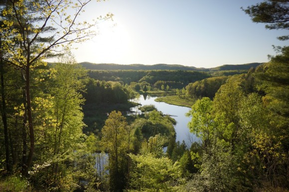
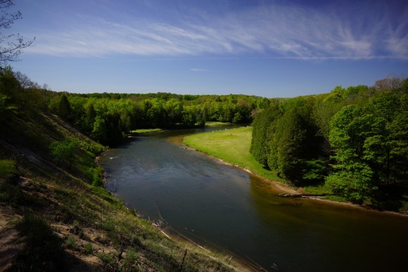
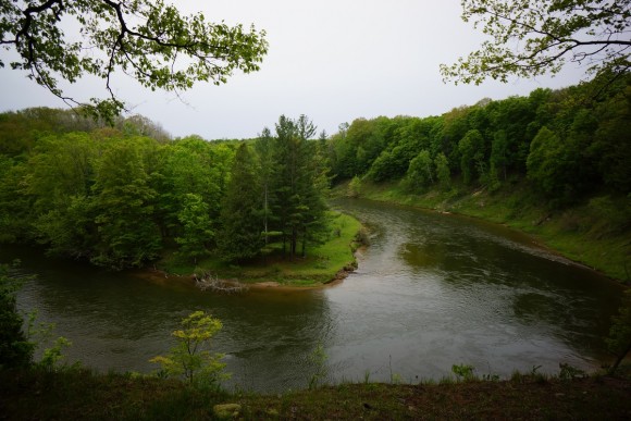
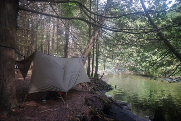
Over memorial Day weekend, I did some hiking with a coworker and his wife, along with their dog along the Manistee River Trail in Michigan. It was very packed, but we luckedout and scooped up one of the prime camping spots in terms of views.
The weather looked like it was going to turn on our second full day, so my friends decided to head back to the car that morning. I wanted to explore the west bank of the Manistee River, since the actual route on the west side (North Country Trail segment) is set pretty far back from the river on a series of hills. So I continued on alone. Nobody hikes that over there along the river like that, and I was curious what it was like. After crossing the bridge on the north side below Hodenpyl dam, I headed south on the west bank as close to the river as possible. Not all that scenic since the terrain forces you back fro the river in most spots, but a couple of nice views.
Hiked 15 miles my last day. Total was around 20-22 miles I think. I have hiked here 3 times now and still have not posted one trip report! I have plans to do this in September so maybe then I will finally get the GPX log, and do a proper write up.
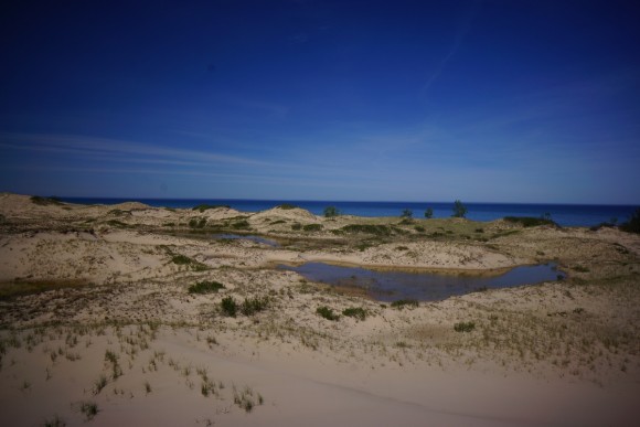
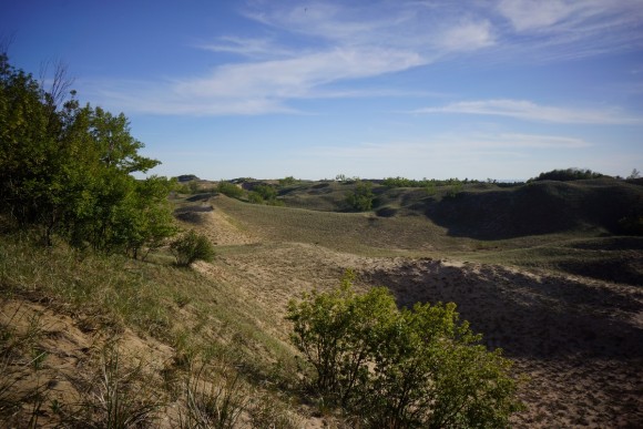
June 2015 – Nordhouse Dunes Wilderness, MI
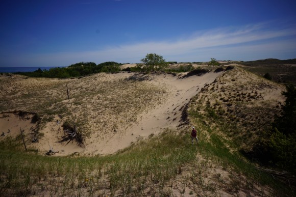
This is my second hike in Nordhouse Dunes Wilderness(Nordhouse Dunes hike 2014 here). I took my girlfriend out here for the weekend on her first overnight hike to introduce her to hiking and camping. Once you get away from the trailhead area you don’t see a whole lot of people, especially when you get to the large open dune fields closer to Ludington State Park. Great weather for the first 2 days. Really peaceful. She enjoyed it (of course) and I’ve hooked another person on the outdoors!
July 2015 – Pigeon River Country State Forest, MI
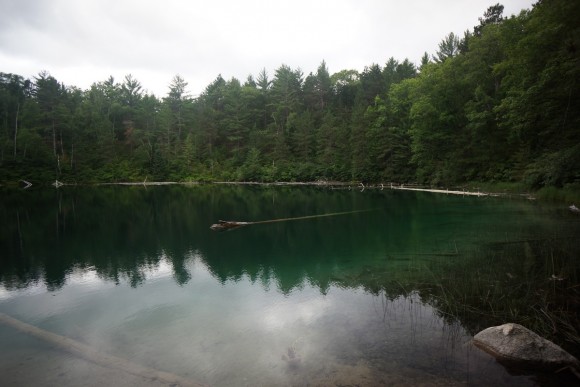
A friend joined my on a three day outing in the Pigeon River Country State Forest for some fishing and camping. This trip was meant to be more of a fishing trip from base camp with some hiking involved. I had camped and fished in a certain spot along the Pigeon River back in 2011 which had netted us many trout over the weekend, and I thought it was worthy of returning to.
The river doesn’t look impressive here but there are some keepers in here. We ended up hiking about 27 miles of the course of the weekend though as we visited Cornwall Creek Flooding, Section 4 Lake, Grass lake and Ford lake. We caught a couple of small Brook Trout over the weekend but that was it. Still, great to hang out with my buddy and expose him to camping outside of State Parks as most Michiganders are accustomed to.
August 2015 – High Uintas Wilderness, UT
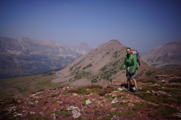
This was my big hike of the year! After last year’s hike in the Wind River Range, I had pretty high expectations for my annual “out west” trip. This year I settled on the High Uintas Wilderness in Utah. It’s not very well known outside of the region, but offers a top notch backpacking experience worthy of a serious look. I had two people in mind that I would ask to go on hike of this magnitude, but unfortunately,m neither could go with me. As always, I refuse to let the absence of a qualified partner hold me back from going on these hikes, and completely content with hiking solo.
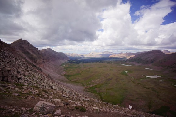
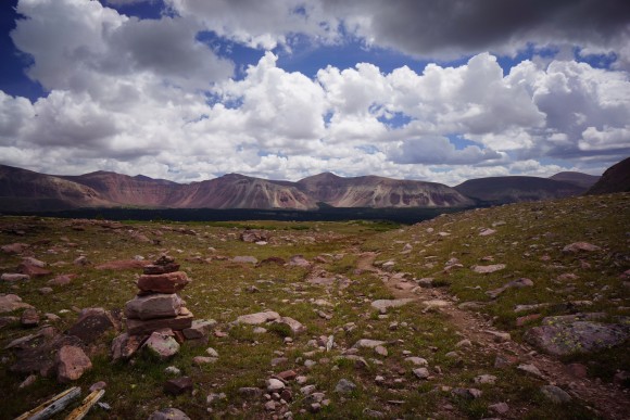
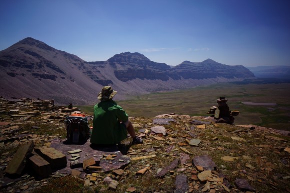
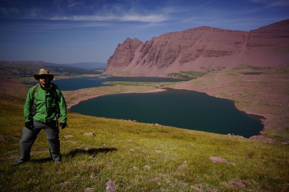
I wanted to hike the Highline Trail, from hwy 191 to Hayden pass, but logistically it proved too tough to coordinate for one person. Instead my route was a mix of the Highline Trail and various drainages on the north slope totaling around 100 miles. This 8 day solo journey had many amazing highlights including Red Castle, King’s Peak summit (tallest point in Utah 13,527ft), Red Knob Pass and more. I saw elk, sheep and moose (moose was while driving, leaving the wilderness), and caught/ate trout from the lakes. It’s an amazing landscape with incredibly beautiful mountain scenery. Strikingly colorful at times.
I invested in a Warbonnet Outdoors Riderunner hammock and Warbonnet Superfly tarp setup earlier this year and this was my first major trip testing that out. I also picked up a GoPro Hero4 Black to document the video portion so that I can use my Nex-7 less for video and more for pictures. Plus, it can do time lapses and even night lapses. So expect a video soon as well. Check out these teaser pics for now…



















Leave a Reply