Oregon Desert Trail Section 6: Frenchglen to Fields (2022 Thru Hike Journal)

Day 24: Steens Mountains, High Water Alternate
June 4th
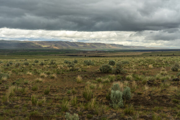




The weather was looking very nasty this morning. Dark clouds, high winds, and threatening to rain. Donny and I debated what to do. The rain stopped at 9, and was supposed to just be cloudy all day, until more rain comes around 7pm. Additionally, this lingering winter has held more snow in the Steens than anything else along this route. The temps have just reached the 70s last week, and the snow has been melting fast. This means high water crossings, some dangerous according to a recent report from another ODT hiker.
Heavy Teva had just left town 36 hours ago, and tells us he took a road up to the top, where there was snow, but nothing crazy. ONDA, who runs the ODT, also gave us some info on the route ahead, advising an alternate around Big Indian Creek and the water crossings there.
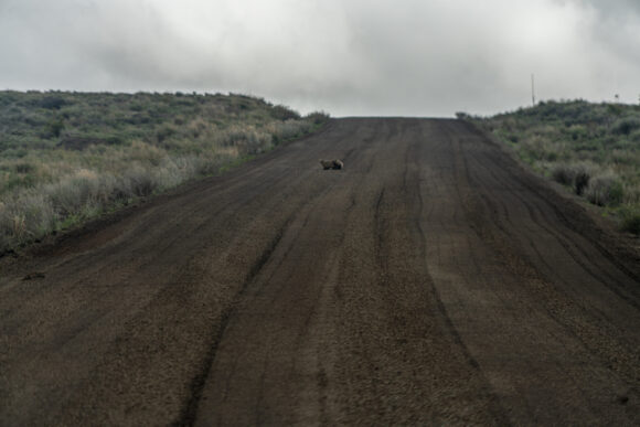
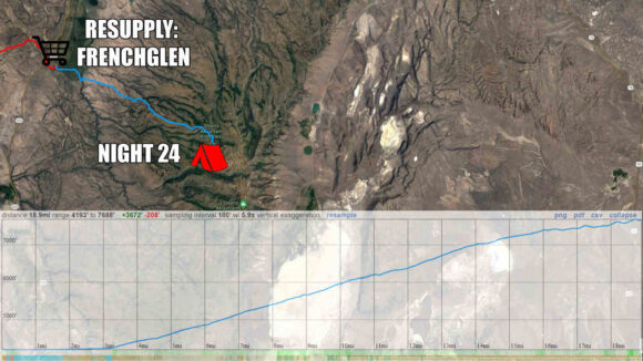
So, we have an alternate route lined up that will avoid the dangerous water crossings, still allow us to the high point. We’ll skip big Indian creek, unfortunately. We’ll hike the dirt road up to the top and rejoin the ODT route there before Steens Mountain summit.
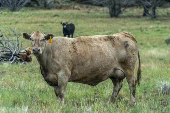
The walk out of Frenchglen along our alternate is rather boring. It’s a long, flat looking plateau with sage and cows. The high country of the Steens is not visible at all from below. It’s a 5600ft climb to the top. Looking back across Blitzen Valley is really nice, though.
I make it to Fish Lake mid-afternoon. When Donny arrives, he takes a quick food break and we push on to Jackman campground, another 2 miles up the road. We pass a few small lakes, and “naughty girl meadow”. I’d love to know the story behind that name.
There’s more snow here at 7500′. Nothing really to walk through just yet, but it’s on the hillsides, especially the north facing slopes.
We reach Jackman campground around 5:30. It doesn’t make sense to go any higher tonight, as this appears to be the last spot along the route with trees until we go over the crest of the Steens and drop down the other side. We want the cover from the wind, and it’s supposed to rain all night. Plus, there are amenities here, like pit toilets, garbage cans (very surprised!), picnic tables and a water pump.
We set camp up by 6pm, very early by thru hiker standards. It’s raining by 8pm, so we are happy to have made the right call tonight.
ODT Day 24 Map
Day 25: Steens Mountain Summit, Wildhorse Canyon, Indian Canyon
June 5th






It literally rained all night. The wind was also whipping pretty hard, and blowing into my tent. Not only that, water was pooling up under my tent, and soaking through. Despite this, I was warm In my quilt, even though that had become damp. It was a fairly stressful night, between the wind and water.
The rain didn’t let up until 9:00 a.m. When I open my tent this morning, we were basically in the clouds. Much of my gear is wet, and my motivation level is low. Donny got a half hour head start on me, and I will try and play catch up this morning.
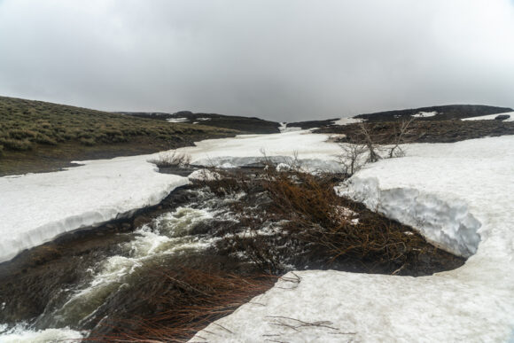
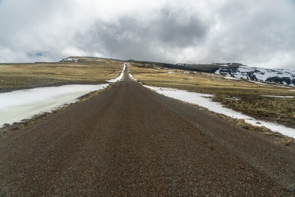
I continue walking the road uphill. It’s not long before I encounter my first patch of snow over the road. All the small creeks alongside the road are swollen with melt water.
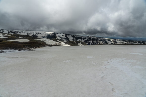
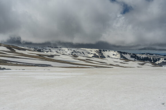
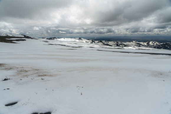
Conditions rapidly deteriorate as I gain elevation. The stretches of snow become longer, and eventually, I begin to post hole. I see Donny’s footsteps, and they are full of water. I tried to take a different path, but it’s no use; my footsteps suffer the same fate. Here, I’m crossing a snow covered meadow, and it’s just filled with water. There is no avoiding it. My shoes are full of water now, and it’s icy cold.
In the distance ahead, I can see Donny. I assume he’s going to take a break, since it’s been a few hours now since we left, But he keeps going. I’m ready for a break though, so I try and take cover behind a rock. My tortillas are blowing away in the wind as I try and eat!
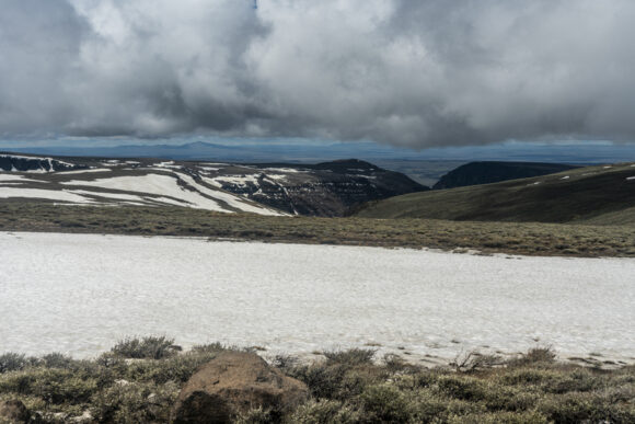
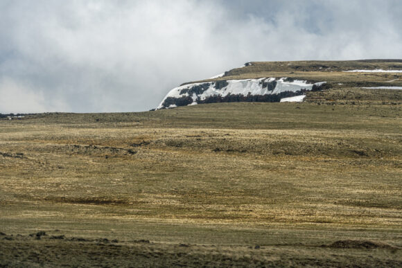
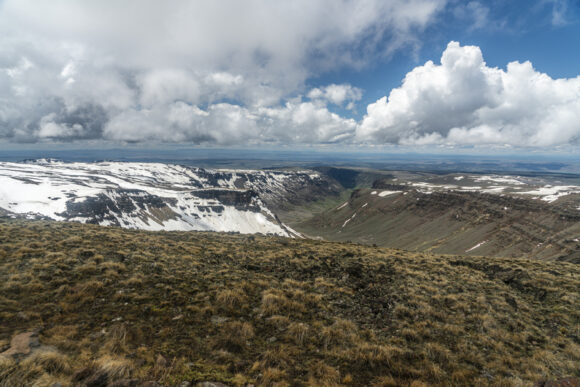
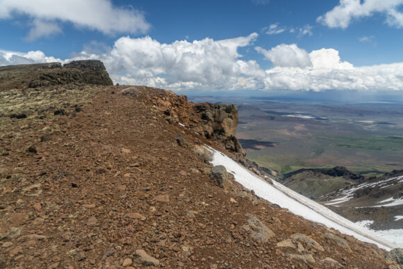
There are fast moving dark clouds everywhere on the horizon. Eventually, a few of them spit freezing rain at me. The road is near the edge of a huge cliff facing east, so I walk up to the edge. Wow! There’s a huge amount of snow just below the ridge line, and a massive. The winds are blowing 35 mph today, but up on this ridgeline, the gusts must be 60 mph. They catch me by surprise, and nearly blow me off my feet.
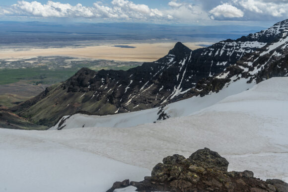
The road disappears under snow now. Out of frustration, I seek a route around it. This leads me to the top of a ridgeline. More amazing views, now overlooking the Alvord Desert.
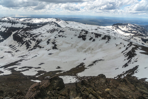
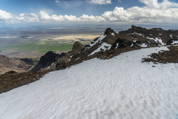


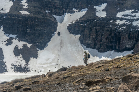
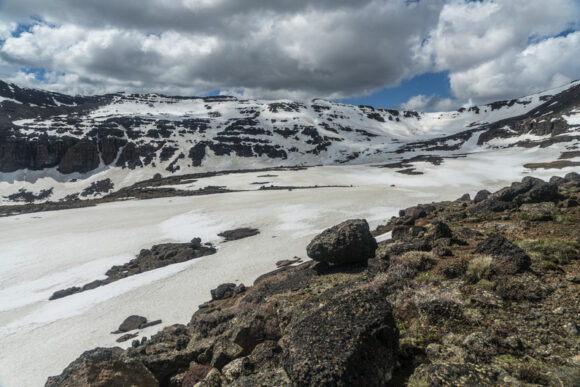
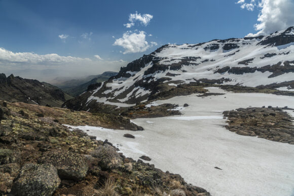
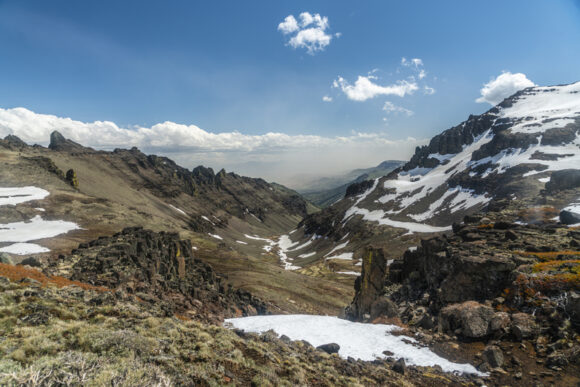

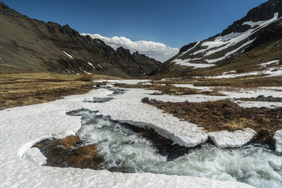
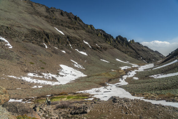
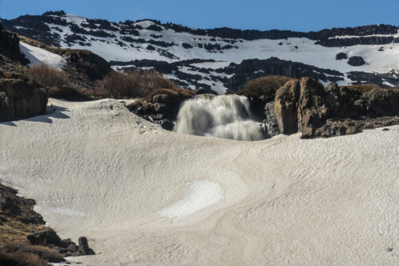
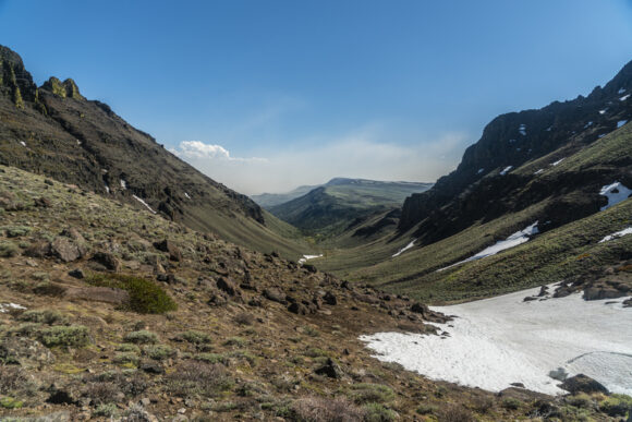

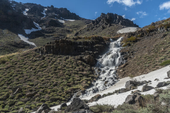

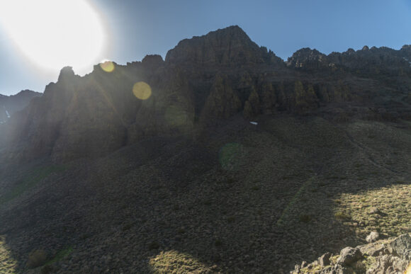

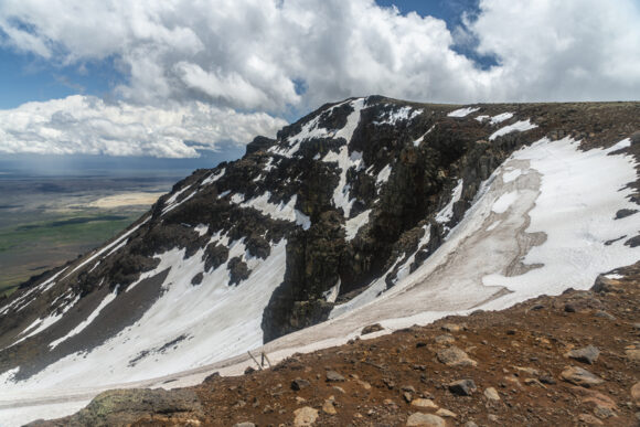
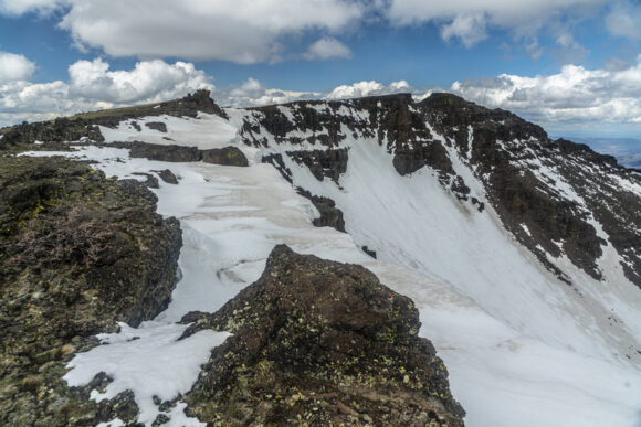
Eventually I reach the Radio Tower at the top of Steens Mountain, 9,733 ft. This is the highest point along the Oregon Desert Trail. The wiew down over Wild Horse Canyon is awesome. There’s a massive amount of snow in the upper basin, and Wild Horse Lake is completely frozen over. That’s where I’m headed next.
I stop for a quick break behind some of the radio equipment and eat some food. Then I look for a route down. This is one of those scenarios where It looks imposing from the top, but once you peek over the edge and start working your way down, the route looks very manageable. A few hundred yards below the summit, I see Donny taking a break in the boulders, and catch up to him.
We skirt the snowfields and take a route down to Wildhorse lake. We stand at the shore of the frozen lake, and watch water gush from the outlet. So much water!
Several waterfalls exist downstream from the lake. The wind blows so hard that some of the waterfalls is flowing up, instead of down!
The canyon walls are deep, steep and rugged. Many spires line the top. It’s an outstanding glacial canyon that seems out of place for the rest of Oregon. And it really is, that’s what makes the Steens unique.
Lower in the canyon, the bushwhacking starts. It’s a few miles of horribly thick sagebrush across increasingly steep slopes. Yuk.

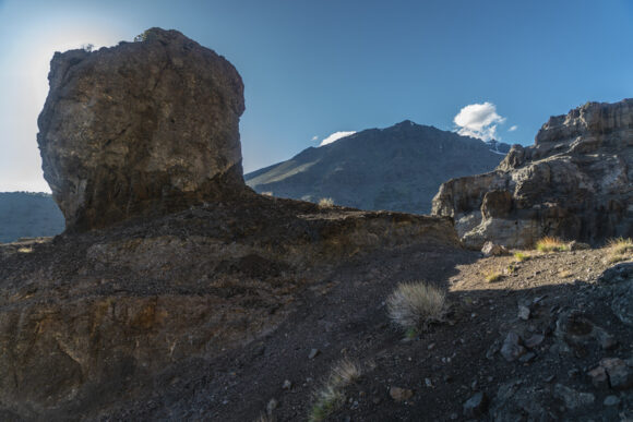

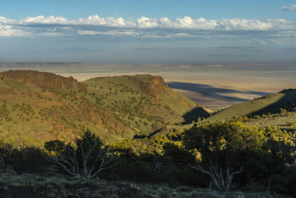
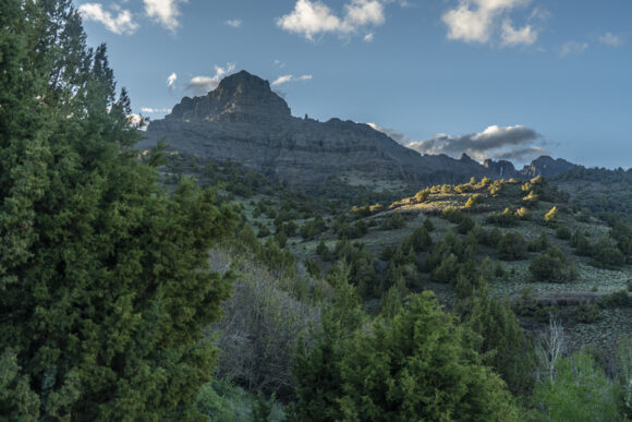
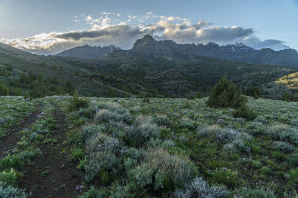
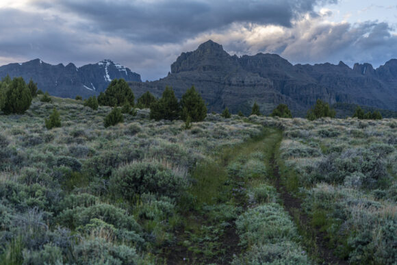
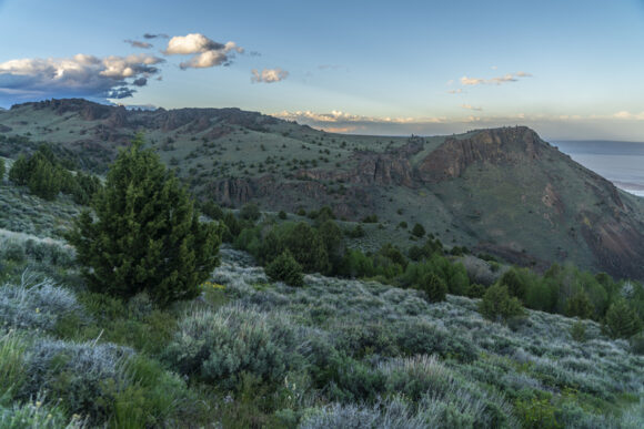
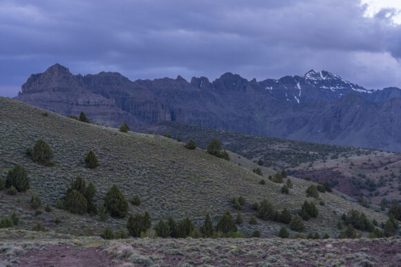
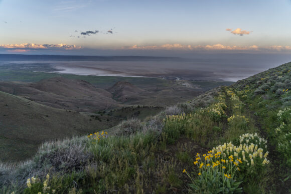
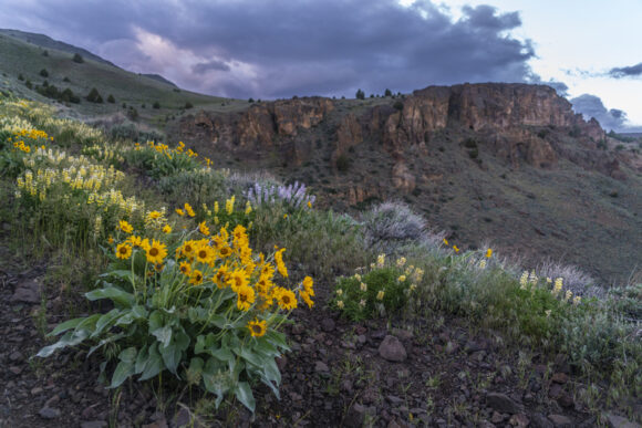
The route passes through some spires and hoodoos, and I find a chute up and over the ridge. Then I traverse a hillside leading up to a pass. A rock cairn marks the top. The wind is whipping here, I can barely stand.
I drop down into Indian Canyon on the other side of the pass. I filter some water from a small creek, and then stumble across an old 4×4 road. This is a pleasant surprise, the map shows the road much farther downhill, and I wasn’t expecting it here.
The hike through Indian Canyon is really nice. Every time I look behind me, I am more impressed by the view of the Steens. At times, I am reminded of Glacier National Park. And that’s not a bad thing at all!
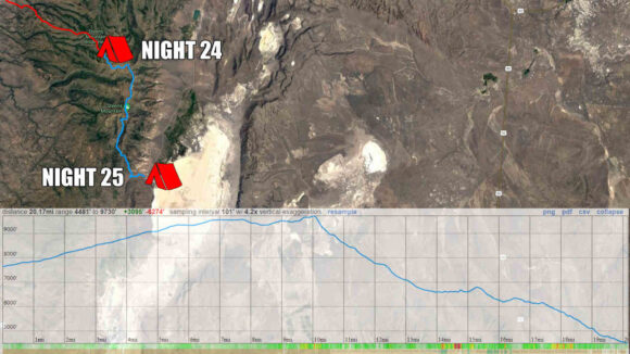
The views over Alvord Desert are excellent as I descend the canyon. Many colorful wildflowers line the road. It’s getting late though, and I’m looking for a campsite. I shoot for a saddle, the last one before dropping down to the Alvord Desert. However, when I get there, I’m disappointed to learn there is nowhere to camp. So, I continue downhill.
It’s a steep road down, with nowhere to camp. Then I see a flat spot, and try to set up my tent. The high winds blow it over repeatedly as I set it up, and I am getting frustrated. So, I pack up my tent, and keep hiking downhill.
At the bottom of the hill, it’s full-on cow county. I find a subpar spot along a dirt road about 1/2 mile from the Alvord Hot Spring property, where it would cost $40/night to camp. No way!! I set up my tent by headlamp and finally call it a day. This was a long, difficult day.
ODT Day 25 Map
Day 26: Hiking the Alvord Desert
June 6th

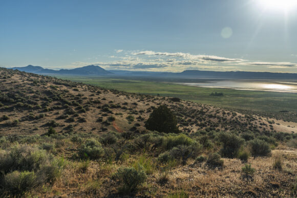

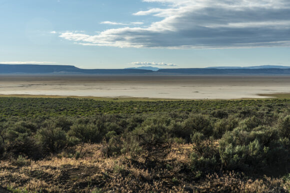
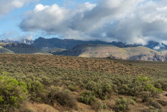
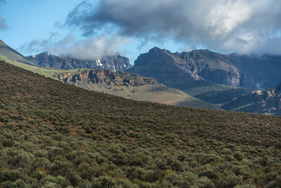
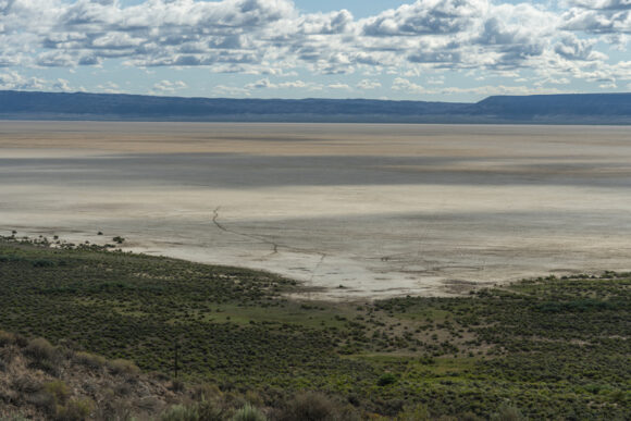


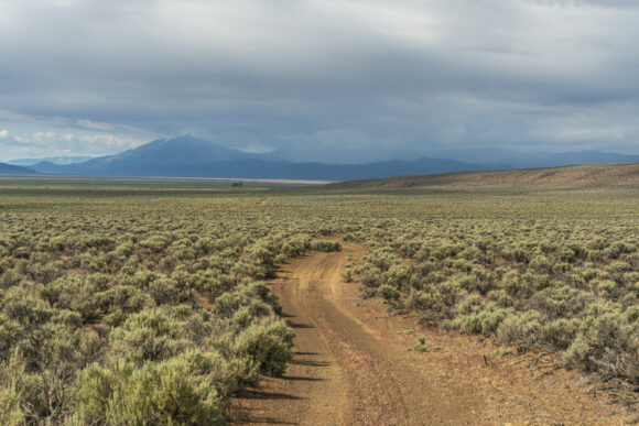
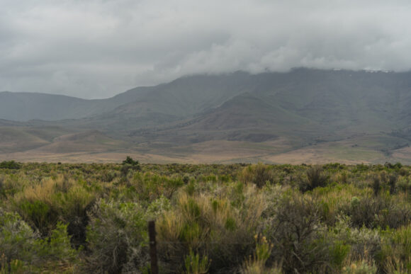
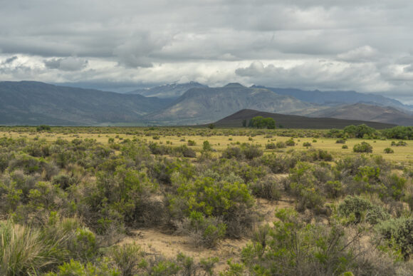


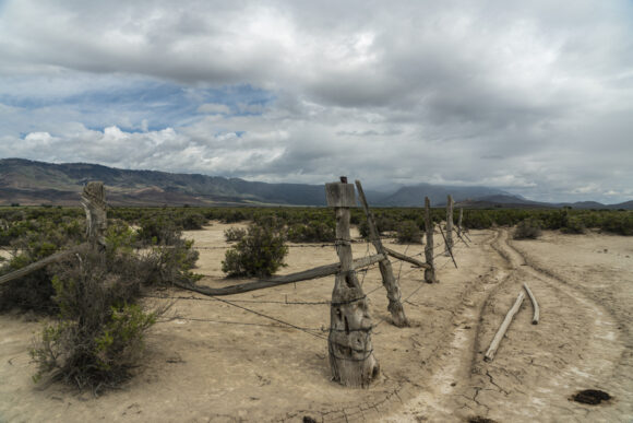
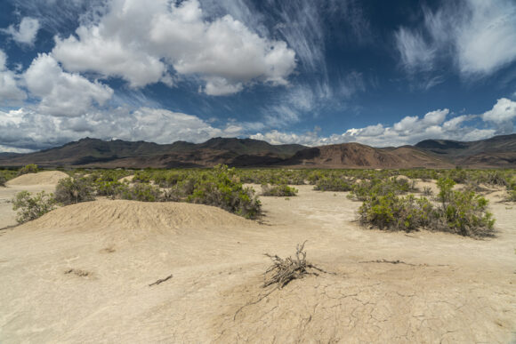
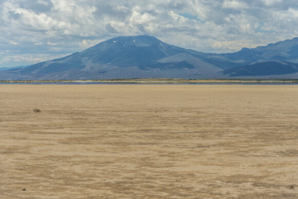
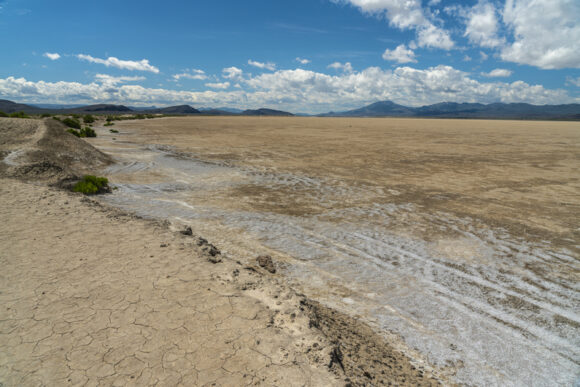
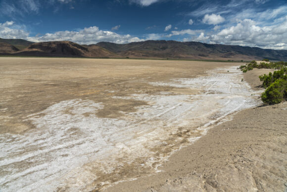
The cows moan like zombies and wake me up early this morning. I’m hiking by 6:45, probably a good thing since I have 25 miles to Fields. The cafe closes at 3:30, so I gotta hurry if I want a hot meal today. There’s a burger and milkshake waiting for me, but I gotta move!
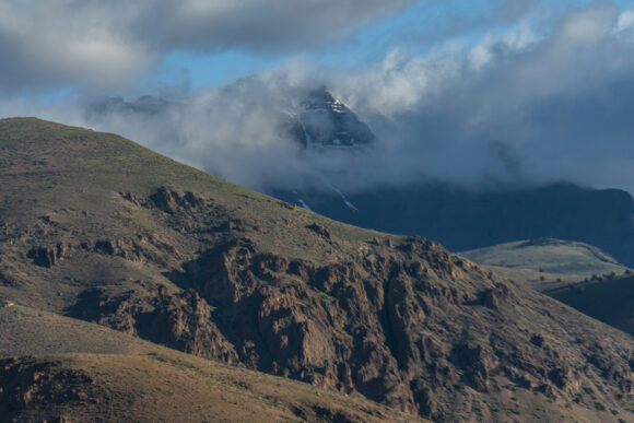
I walk through the Alvord Hot Springs complex, and reach pavement. Behind me, the Steens look majestic with the clouds hugging the high peaks. Beautiful.
I get water from Frog Spring along the edge of the Alvord Desert playa. I continue south and hit some dirt roads, which I follow for miles along some ranch property. The skies darken and spit rain briefly, at odds with the weather forecast. Typical.
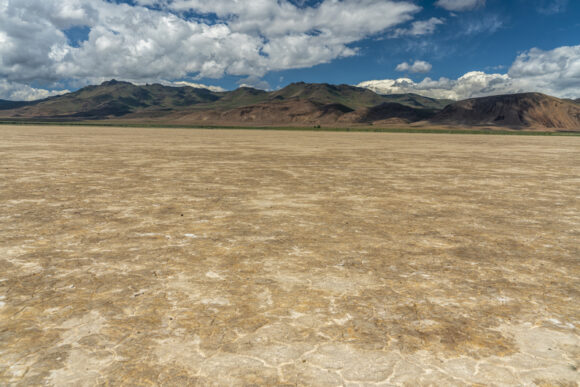
I reach Alvord Lake and walk the playa. The idea of hiking these dried lake beds was always a bit fascinating to me, but I don’t always trust the route will work out. I stay near the edge, with the memory of my Hart Lake crossing fresh in my mind from about a week ago. The playa proves to be solid, and a great walk.

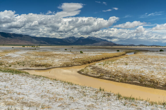

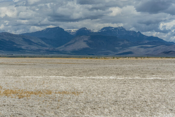

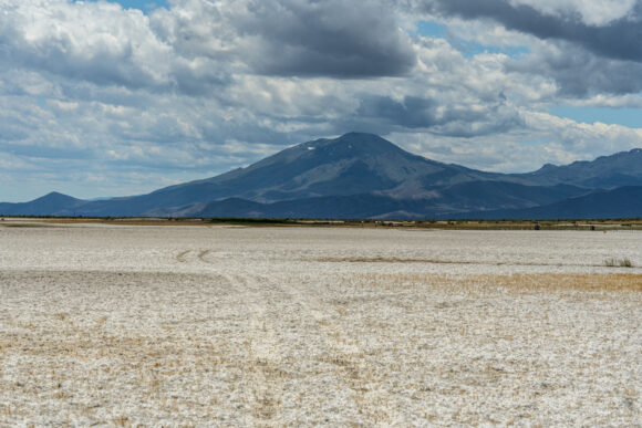
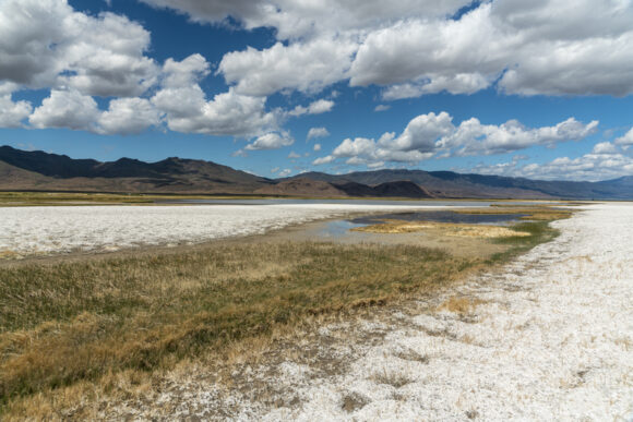
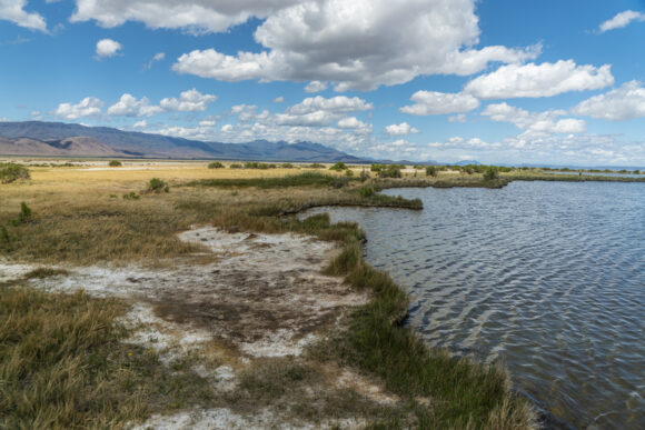
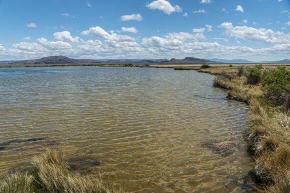


South of Alvord Lake, the enjoyment factor of the route deteriorates rapidly. No longer am I walking on flat, dried mud. Now, it’s looser and lumpier mud that’s softer, and covered with a white salty deposit. It’s similar to postholing through snow or walking through deep sand… slow, tedious and tiring.
In the middle of all this, I see a few wooden posts with red flags. Upon closer inspection, I see a film canister attached to the top. This is a mining claim marker. These posts are supposed to be on the four corners of a mining claim. Inside the film canister, there’s paperwork describing the mining claim belongs to Sierra Lithium LLC. This is a lithium deposit, presumably. But there is no mining going on here.
Continuing south, the route gets even worse. Now, there’s a lot of mud and water. It’s turning into a marsh. There are many braided channels and networks of water here, with no obvious way to go around them. It’s salty water and mud, which stings and irritates the skin. There are reeds knee-high, hiding more mud and salt brine. It’s an awful thing to walk through. And there is no reason for a human to be here, ever. I was truly dumbfounded that the ODT route purposely goes through here, when there are other options to avoid it… such as hiking across the Alvord Lake playa miles to the north. Too late for that.
With shoes full of nasty, foul smelling mud, I trudge through the remaining marsh lands. I stumbled out of the marsh and walk past a few pools of hot water. While I didn’t test the temperature, I could feel the heat from several feet away. I could only think how easy it would be to accidentally step into one of these while walking the route out of the marsh. Another reason I was shocked the ODT would go through this spot.
I reached a small dirt road and walked past borax lake, a “hot spring”. It’s a sizeable lake, and the water is just barely warm. However, it has 25x the safe level of arsenic for drinking or soaking. I didn’t know this at the time, and dipped my feet in the water with y shoes on to clean off all the horrible stinking mud. Not recommended, but I survived.
The slow hiking over the last few miles has threatened my ability to reach Fields before the cafe closes. Now, I have 6 miles to hike in 2 hours. No problem, but I’d like to get there 30 min before they close, just to be safe. So, I intermittently jog the rest of the way into town.
I make it to Fields at 3pm, plenty of time to get my burger and milkshake. It turns out, the grill is open to 4:15, not 3:30 as the ODT guide says. I wouldn’t have run those miles had I known this, which causes some sore feet and blisters on the tips of my toes. Especially after being wet and muddy!
I was planning on camping at Fields Station, which is free, but since I was covered in nasty, stinking mud, I got a room instead. Plus, I was feeling pretty wrecked, and was thankful to take a shower and the ability to clean my shoes and socks.
Donny made it to Fields at 9pm. I had ordered a burger and coke to-go for him, so he had this waiting for him when he arrived. What a pal, right?
ODT Day 26 Map

–> Continue reading Oregon Desert Trail Section 7: Fields to Denio (28 miles)
Back to Oregon Desert Trail Thru Hiking Guide & Journal index


Leave a Reply