Darby to Anaconda – CDT Thru Hike 2018
Continental Divide Trail – Darby to Anaconda Hike Overview
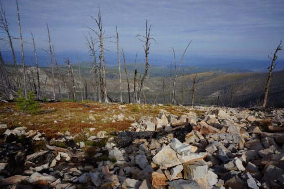
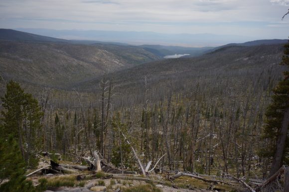
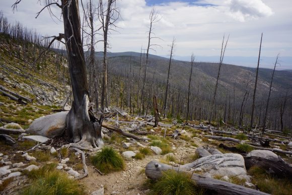
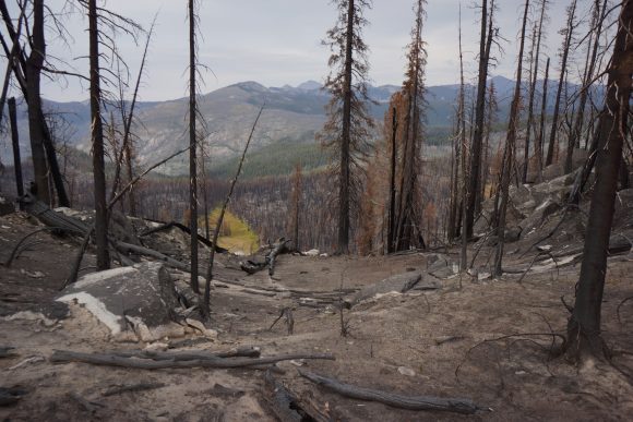
The first 30+ miles north of Chief Joseph Pass were pretty awful. Partially my fault due to a crazy thick bushwhack, but mostly due to never-ending forests of dead trees and burned trees while doing lots of elevation gain and no view of anything. Soon after, the Anaconda Pintler wilderness starts and offers some redeeming views, mostly in the northern section. Bear activity was high, with lots of fresh scat. Temperatures are getting noticeably cooler now and days are getting shorter.
Monday September 10th – CDT Day 143
Slept in till about 8 this morning. Headed over to Park Place Cafe for breakfast, being the only place open. Another place that serves big portions. I could only eat half of a three stack pancake order!
Next I took care of my grocery shopping. The people’s market was amazing compared to Lima and Leadore, where I resupplied from gas stations. Then I worked on getting a list of items together for my dad to send me at East Glacier. This way, when I’m done with the hike I can pick up a box full of non-hiking items like blue jeans and a dedicated GPS unit to use in the rental car that I will use to drive back home in.
Back at Travellers Rest, I was packing up my stuff when Jim, Mary’s husband and the other owner of Travellers Rest, approached me and asked if I needed a ride back up to Chief Joseph pass. They were going to do a little biking up there in an hour or so. Perfect!
With an hour to kill, I headed up to the post office to send some things back home and send my bounce box ahead to Lincoln. I stopped in a fly shop along the way back and picked up a t-shirt for 8 bucks. Of course, right after I sent my bounce box back. Every time!
I reached Chief Joseph pass around 1pm. Today I’m trying out a pair of Salomon Odyssey Pro shoes. The Salomon rep I met in Yellowstone had sent these to me to test out. Initial impression are great, the shoe feels comfortable and has felt great walking around town. Let’s see how they hold up to the conditions a thru hiker faces on the CDT.
Not far from the pass, a ley alternate splits off from the official CDT. It looks like it cuts off a few miles, taking a nice flat dirt road instead of ups and downs through likely nondescript forest and ridges. Yeah, I’m into that.
I missed a few turns today and had to backtrack about 2 miles total. Guthook doesn’t show this alternate, but I have it loaded in Gaia on my phone. The free version of Gaia sucks though. Even when I’ve downloaded the detailed maps surrounding my track, they don’t show. Or the maps show up in patches. I was basically following a blue arrow on a grey screen.
When it was time to leave road for trail, ley suggests taking an old cross country ski trail. This might be OK in the winter, and for skiers, but it was soggy and overgrown here and now. Didn’t want to bushwhack uphill through this so I walked down to the next road leading uphill. Then I follow some old railroad grade.
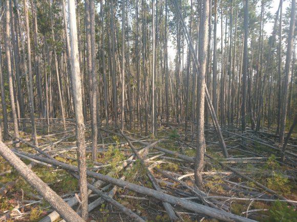
The farther I walked along that railroad grade, the worse it became. Lots of deadfall. Like, no way to step around it because there was so much. Lots of small pine trees taking up the rest of the available ground space. This stopped me in my tracks.
I decided to bushwhack straight up hill towards a road on my map. Crawling over the piles of downed trees and wading through thick pines, I fought my way to the top. This was one of the nastiest bushwhacks I’ve done.
On the road now, I took a side trail leading up to the Divide. Here I reconnected with the CDT again. Shortly after I took a break for dinner.
Knocked out a few more miles after dinner in pursuit of Schultz saddle. I was disappointed to see a truck and camper here using the site. I put on by headlamp and got ready to do some night hiking. Luckily, I didn’t have to go far. Found a a small flat spot a few hundred yards away and cowboy camped here.
Miles – 19
Total Miles – 2449
Rain – no
Sleep – Backcountry, cowboy camp
Animals – none
Tuesday September 11th – CDT Day 144
Last night was cold. 25° when I woke up. Frost on my sleeping bag and clothes. I shivered throughout my morning routine and skipped breakfast in lieu of getting moving to get the blood pumping.
After an hour, I stopped in the first patch of sun I came across to eat breakfast. I could also remove layers now.
I gotta say, today was one of the more boring days I’ve done on the CDT. Every since I left chief Joseph pass, it’s just been downed trees and burn areas. Really bleak looking. This continued all day long. It also included many ups and downs. I did see about 5 elk in the forest this evening, but didn’t have a clear view.
It had gotten progressively cloudier throughout the day, and was now cold and windy as well. Tomorrow morning it might rain according to the last forecast I saw.
I made camp at a trail junction below pintler pass. I was surprised to see a tent and hammock set up here already. I chose a spot nearby but far enough away. I wonder if they’re CDT hikers?
Miles – 28
Total Miles – 2477
Rain – no
Sleep – Backcountry, tent
Animals – elk
Wednesday September 12th – CDT Day 145
I thought there was two people in the campsite next to me, but I think it was only one. I saw one person return by headlamp right before I jumped in bed last night, and heard one person leave this morning before I left my tent. I think it was a hunter.
Today is the day of climbing. Non-stop climbing, all day. If I were to hit my mileage goal, it would encompass at least 8500′ elevation gain. Not looking forward to today at all.
Right after leaving camp I climbed up pintler pass, and descended to Johnson Lake. This is where I would have liked to have made it to last night, ideally. This Lake marks the end of the southern Montana/Idaho map in my Guthook App, and the beginning of the northern Montana map, the final map.
After Johnson Lake the trail drops some more before going up another pass. Rainbow pass, Rainbow Lake. In this area, I crossed paths with 2 older guys out for a 30 mile hike. First actual hikers I’ve seen out here. A little further up, I stopped for a break.
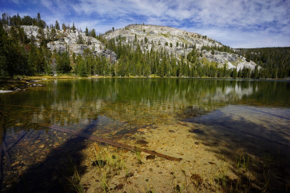
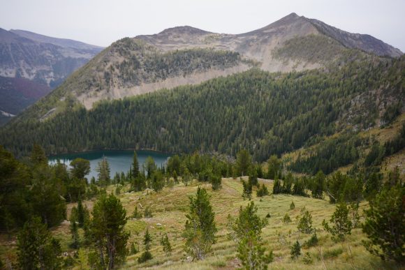
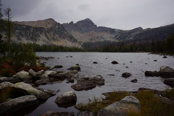
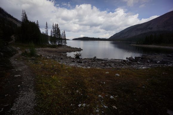
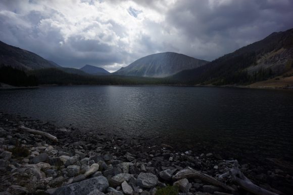
The trail drops down another Valley to go around a steep Ridgeline and then heads uphill again. After cresting the pass, the trail swing by Warren lake. Nice mountain backdrop, it’s been a while since I’ve seen one like this.
I took another break below Warren Lake. I’ve been sweating going uphill, but going downhill or stopped I was freezing. Light snowflakes were falling, very light. As I descended downhill after the break, it turned into more of a rain than snow. It rained for about 2 hours and then within a matter of minutes, the Sun was out and the skies were completely blue.
Went over yet another pass, cutaway pass I believe. Then dropped down into Queener Basin and found camp around 7:30. I would have liked to have pressed on for another 30 or 45 minutes but there was another pass to climb and I didn’t feel like hiking in the dark. My shoes are wet and it’s going to be a cold night. Plus, I needed water which was next to camp. However, only 24 miles on the day. This was one of my lowest full days of hiking in a very long time.
It felt so good to get in my sleeping bag. I was really cold, especially my shriveled feet.
Miles – 24
Total Miles – 2501
Rain – yes, snowflakes
Sleep – Backcountry, tent
Animals – none
Thursday September 13th – CDT Day 146
Last night was cold but I stayed warm in my bag. There were a few sprinkles overnight but overall my tent was dry this morning. I threw on all of my available layers other than sleeping clothes to stay warm. My shoes were still soaked from yesterday, but that’s where having that second pair comes in handy!
As much as I’d planned for an early start this morning, I was just slow to get going into the cold and what I thought was going to be immediately rainy weather. I didn’t start hiking until around 8am.
No more than a quarter mile from Camp I encountered two fresh piles of bear scat. Definitely from this morning. Look like grizzly scat to me. Add that with the one last night, and Queener Basin is one place I’m glad I don’t have to spend another night.
As usual I had a hard time getting going with the climbing this morning. I’m just so burnt out with it. It wears me out and I dread any sign of uphill hiking these days. Just another sign I am so ready to be done with this thru hike. The last part is the hardest for sure.
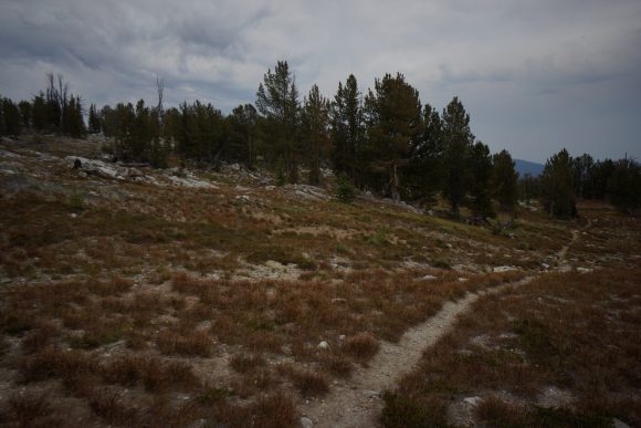
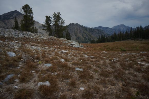
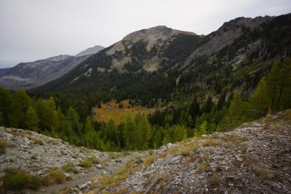
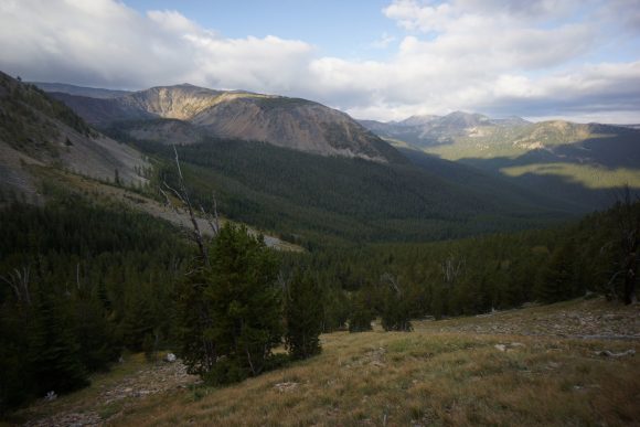
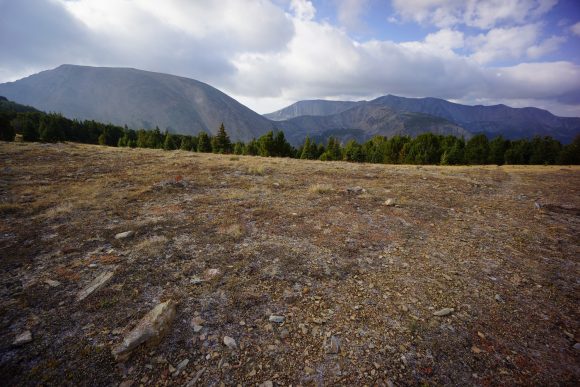
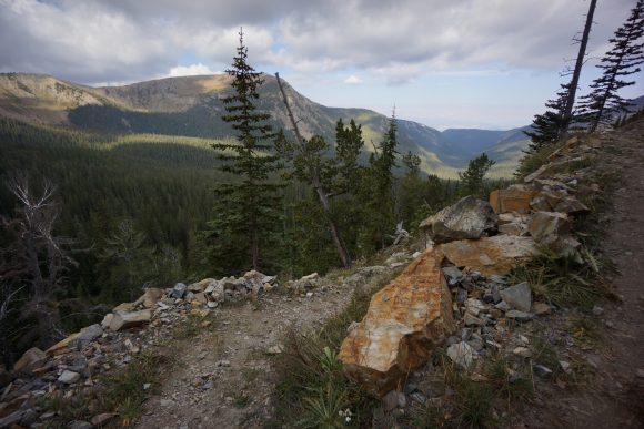
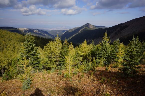
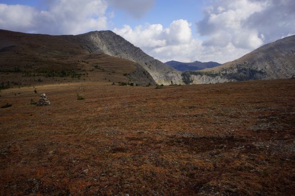
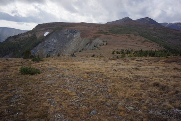
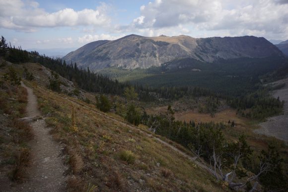
I went over two passes this morning and both of them had the most beautiful scenery I’ve come across in the anaconda pintler wilderness. It’s a shame the trail spends so much time in the woods and forest and not up on the ridge lines. However, from what I can tell the beautiful part of this wilderness is not very widespread. Maybe a 15 mile segment of the about 100 miles from Chief Joseph pass to Anaconda.
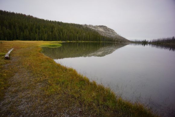
On top of the second pass, the anaconda alternate route splits off from the CDT. The trail goes up hill a little bit, passes through goat flats, then skirts the mountainside over to another pass. From this pass the trail drops down to storm Lake.
On my way down to Storm Lake I was looking at my guthook map. It had the trail dropping down around the lake and then going way back up this Valley. I was looking at Bushwhacking across the valley to cut off a mile or two around the lake when I noticed a trail leading downhill from the lake. This trail became a road and goes all the way to highway 1, where I need to go anyway. This would save me a couple of miles total, and several miles of Trail walking. The new route would put me on a road the whole way into Anaconda, and so I can cover miles easier and faster. Realistically, it was going to be quite a push to get into town tonight anyway since I was looking at around 34 miles. So at least this gives me a shot, and a shot by dark no less.
About a mile before reaching Highway 1, it started raining. There was nowhere to take cover and if there was, it was private property. It rained for at least an hour. After the rain let up, I came across a campground. I headed over to the outhouse, as these usually have a little covered area outside for shelter. This one was no different, so I stopped here for a lunch break.
The rain had cleared by the time I was done eating lunch. The road walk went through some pretty country for being a highway. Started getting warm and I shed off all my layers. Of course after doing so, storms started building again. Super dark and nasty looking clouds behind me, with some crazy wind gusts. But I got lucky and this one passed to the side of the highway.
My Salomon Odyssey Pro shoes were starting to bother the calluses on the outside of my heels, so I switched back to my Cascadia 13s. It felt much better but the damage was already done. Nothing too crazy I can’t deal with, but if I had waited till I got into anaconda things would have been much worse.
I got into anaconda a little after 7. I stopped at the Dairy Queen but they were closed. Bummer! From here I called tradewinds motel to reserve a room and then headed out to find dinner. I stopped at a place called wings and things and got some great Wings. Not many places do a dry rub and I liked this one.
It was almost 9 by the time I got to my motel. I started charging things, washing socks underwear and shirt in the sink and then took a nice hot shower. Time for bed, and this was a very comfy bed!
Miles – 31
Total Miles – 2532
Rain – yes
Sleep – hotel
Animals – deer











Leave a Reply